February 19, 2003

Being a rapid one-day loop through Joshua Tree National Monument.
 California
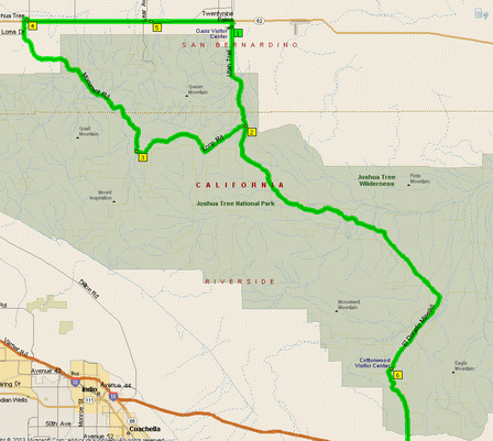
I entered the park at the North Entrance Station, looped clockwise along Park Boulevard to the town of Joshua Tree, then reentered at the North Entrance Station and continued south, through the park to the Cottonwood Visitor Center, and out.
The park is defined (and justified) by the meeting of two deserts: the western half is part of the Mojave Desert, which is higher and rougher with thousands of distinctive Joshua Trees, while the eastern half is part of the Colorado Desert, being lower and with scrubbier plants. I arrived at the park around 8:00 (had breakfast in Twenty-nine Palms) and left through the south entrance around 4:00 PM the same day.
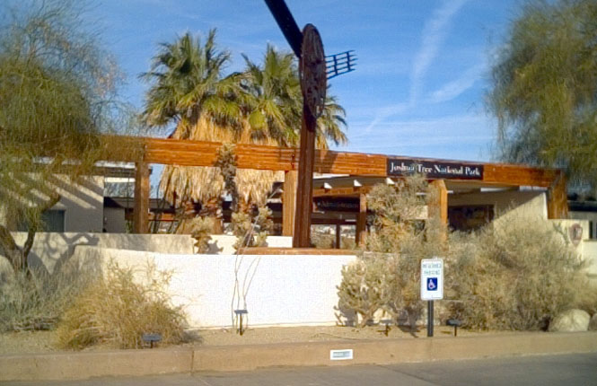
Park Headquarters and Visitor Center. There was a very nicely stocked book store along with the displays of the park that you'd expect. Out back was a short nature trail for those people who only had time to see the park in 15 minutes.
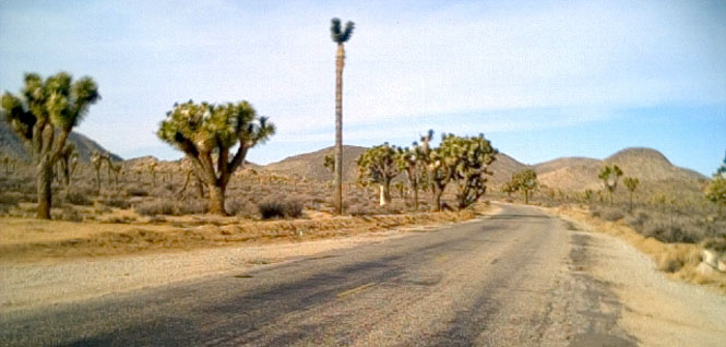
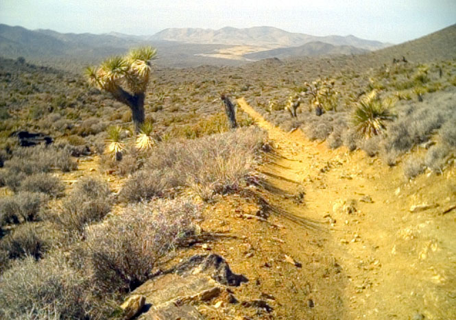
On the road through Queen Valley. The Joshua trees are much larger than I would have expected, and seem to be rather more tree-like, too. I encountered very little traffic here, or anywhere else in the park for that matter. Perfect temperature. Just a bit of breeze.
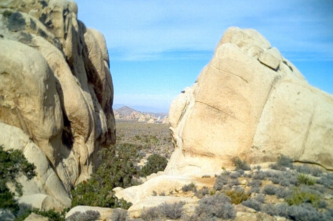
Just starting up the trail to the top of Ryan Mountain. These very large boulders are typical of the formations in this part of the park. Looking between the rocks you can see several more formations--even larger than these.
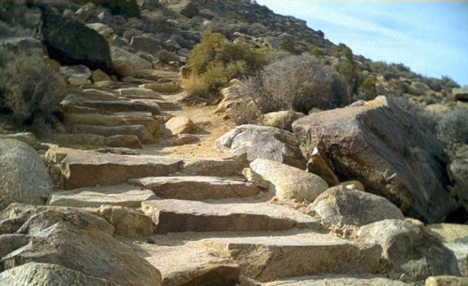
Most of the trail was very well constructed and quite easy to follow. It must have taken quite a bit of effort to build as much of it is made up of placed stone steps like this.
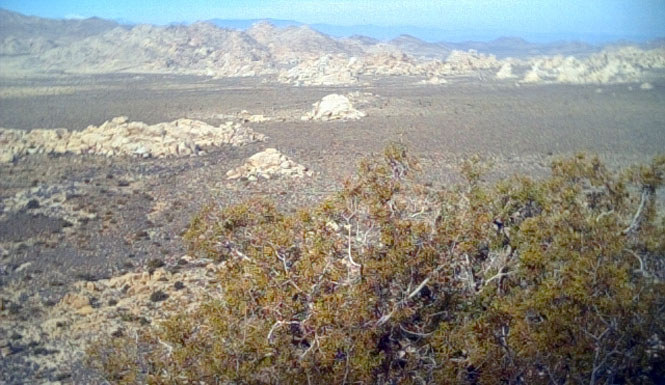
About halfway up the mountain. This photograph shows the unusual enormous boulders seemingly growing out of the flat desert floor.
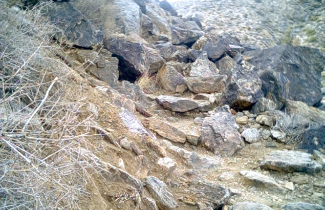
Not all of the trail was so carefully made. Even so, in spite of appearances, it was simple to step through this pile of rocks. The trip down made was certainly easier, but that was balanced against the fairly slippery going with sand covering many of the rocks. I slid several times, but never quite fell down before first catching myself.
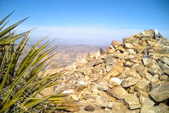
The top of the mountain had been mysteriously cleared of rocks, which were then piled up. This is a view looking towards the northwest from the top of Ryan mountain.
The Lost Horse Mine was a gold mining operation which ran from around 1895 to 1935. There was a a drive of about 1 mile up a dirt road to a parking area, from which you had to hike the rest of the way to the mine--about 2 miles.
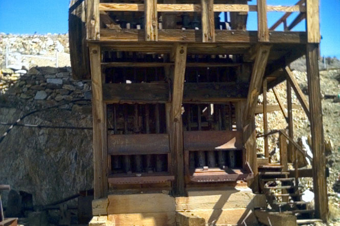
The remaining equipment and structure was in quite good shape. This is the crushing machine where the quartz rock was broken up.
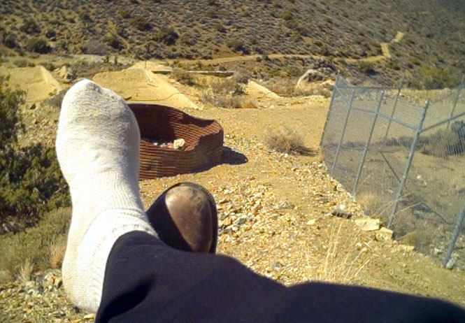
The view from next to the crushing machine (which was surrounded by the chain-link fence). The trail that I hiked in on can be seen in the distance (sore feet needing to be cooled)
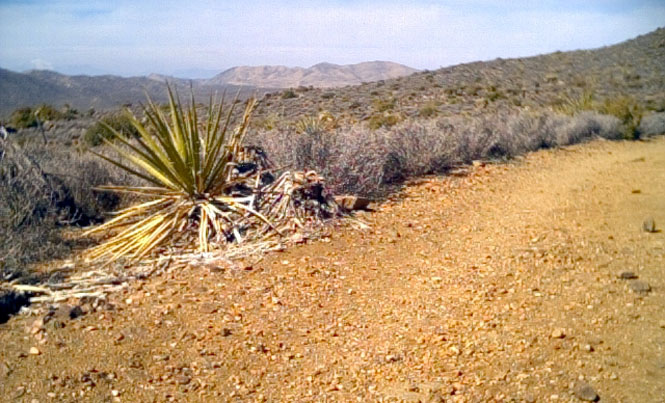
Walking back to the valley floor. The trail was clearly a wagon (and then truck) trail built to support the mine. Obviously, erosion over the years has made the road much rougher than it probably was when it was used.
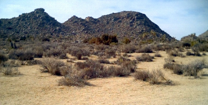
Many hills in the park were seemingly just large piles of rocks. This photograph was taken not far from the west Entrance Station
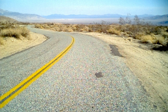
After looping back to Twenty-nine Palms, I reentered the park at the same visitor center, but this time kept to the road that turned to the east. The photograph was taken just as the road descended into Pinto Basin.
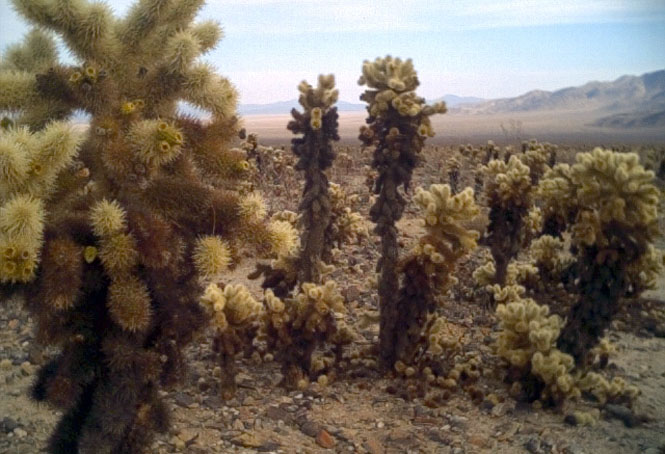
Cholla Cactus Garden is just on the edge of Pinto Basin, but is still considerably higher than the basin floor. These plants may look fuzzy and soft, but they're not. Also called jumping cactus for their seeming ability to leap out and grab and stick to your clothing.
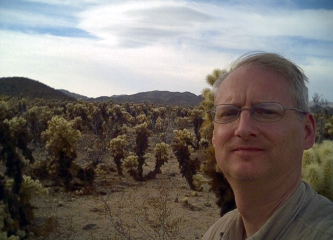
Another shot of the Cholla Cactus Garden