March 19, 2005

The reason for this trip was to find the monument at the northwest corner of Kansas. This is the point where Kansas, Nebraska and Colorado meet (tempting to call it three-corners, but there are only two corners). I wasn't sure what would be there, but certainly there should be a survey monument of some sort.
 Kansas
The trip didn't begin too well. I left fairly early, Saturday, but had to stop in Newton as it was just too cold. I can recognize the onset of hypothermia, and I felt it. Best to pull over as soon as possible. I sat warming in a McDonalds for probably 20 minutes until I felt my senses return. When the temperature is below 30 degrees, it's just plain cold for riding.
When I started out, again, it was up to the high 30s and I was feeling much better. It stayed in the 40s for most of the trip--not so bad.
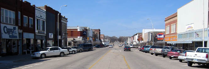
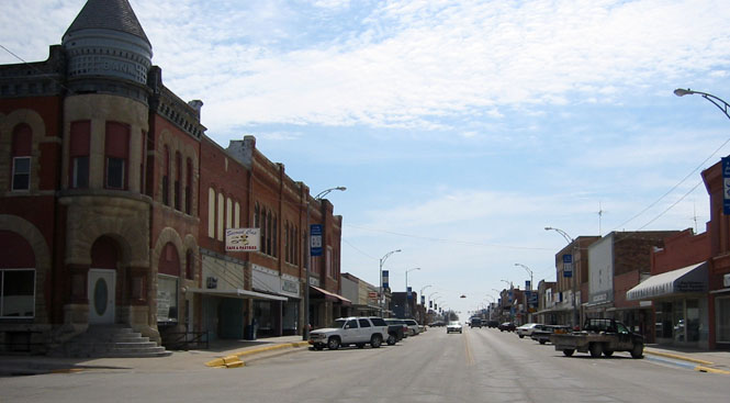
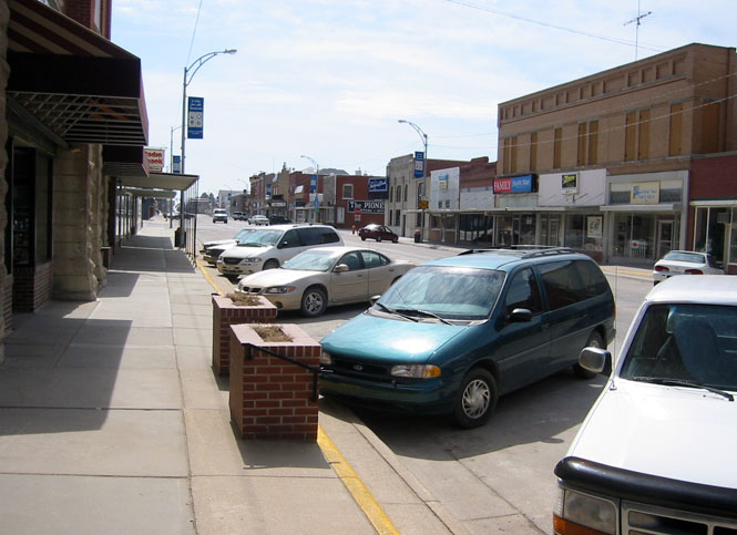
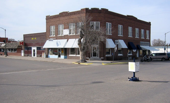
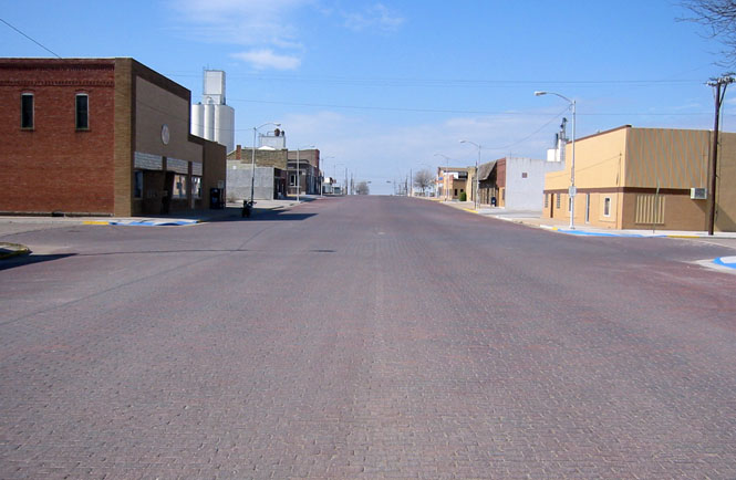
Concordia, Kansas is a surprisingly busy place on a Saturday morning.
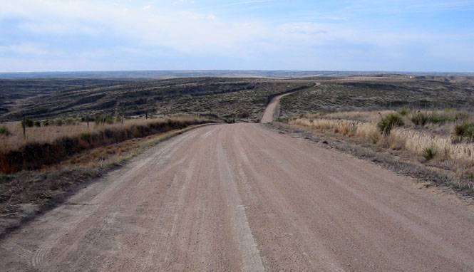
Highway 28 turned out to be quite interesting. It's really a rather curvy road. Or, at least curvy when compared to what else is available in the area.
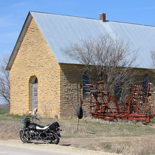
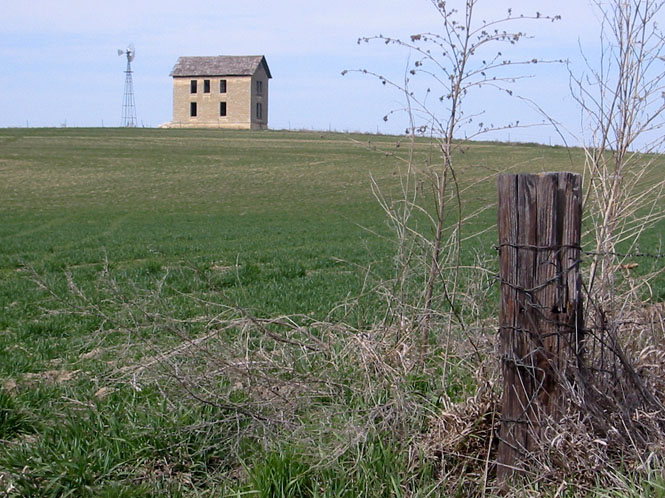
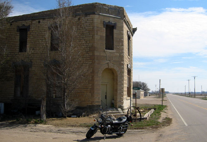
This looks to have been a church. There is no town within sight, so either the town has vanished, or they didn't plan things too well. Or both.
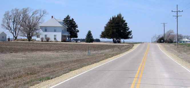
Looking west down the road. That's a typical farm house. By appearances, this area is doing fine.
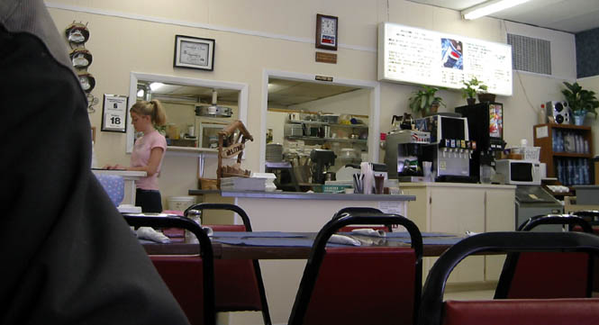
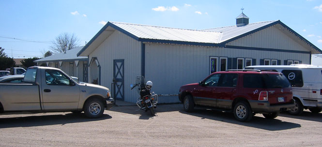
I stopped at Smith Center for lunch.
I often take pictures of the places where I eat. This over-the-shoulder shot is just a little too creepy, though. Really, I wasn't intending to spy on my waitress.
Back on highway 36. What a wind-swept place to build this house. I can't imagine why it wasn't built someplace with just a little bit of protection from the wind. I wonder if they planted any trees? If so, they're all gone, now.
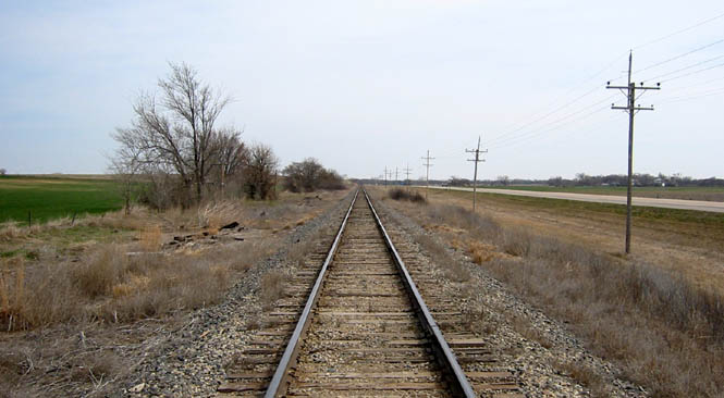
The tracks came first--then the highway.
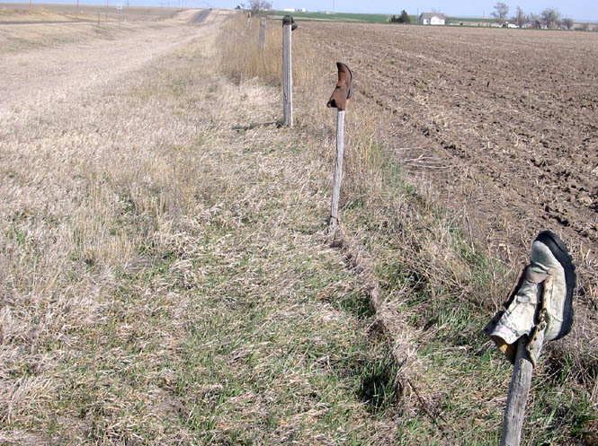
At least along highway 36, it's common to see fence posts protected from the weather by using old boots. It doesn't seem to matter what type of boot. There are hundreds (thousands?) of these things. I've been along this route many times, but never stopped to take a picture.
Bird City, Kansas.
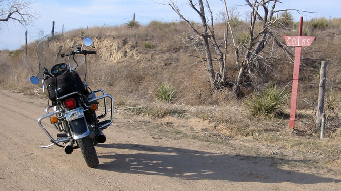
I've reached Cheyenne County. I had a Garmin GPS to help me find the right roads. In fact, there were a few hand-made signs pointing the way, but the GPS help considerably. For this photograph, I had stopped to check the GPS to see if this was the right road, and which roads ahead I needed to take to get closer to the boundary corner.
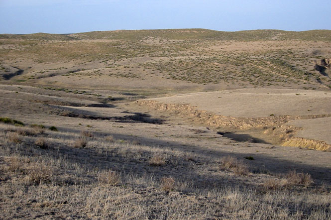
An unexpectedly rugged place. There were a few signs that people had once tried to farm here. Actually, there were a couple of houses in the area that looked prosperous, enough. The road was never steep enough to be a problem, though if the roads had been wet I would not have even attempted it.
 Colorado
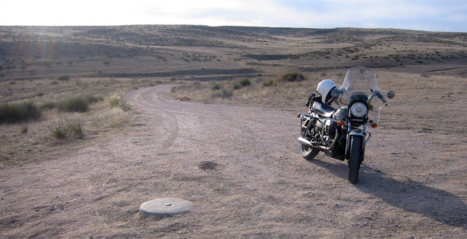
At this point, I was off the maps--this road is likely private. I checked the GPS and thought about walking the remaining distance to the boundary, but decided to just keep to the road to see if it might take me even closer. Turns out I was able to ride all the way.
The road wasn't all that bad. In fact, I prefer bare dirt (as this was) to graded roads. I don't mind bumps and holes (even big ones), but I don't like gravel and soft sand. That monument in the photograph marks the latitude line (not the corner).
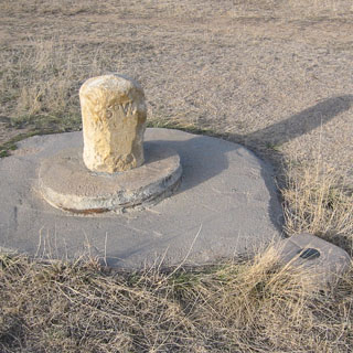
And, here it is. The land owner has done a nice thing. There is a fence around the monument to keep the cattle out. The mail box contains a notebook filled with whatever comments the few visitors thought to leave. I left my name and town. The plaque details a brief history of the surveying parties that did the work over the years to put the state lines into place.
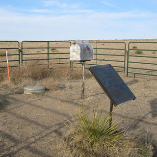
To the left is Colorado. Above is Nebraska, and below is Kansas. The boundary lines are shown on the monument.
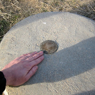
This original monument is not far south from the corner. It marks the 25th West meridian. It's important to note that when the state lines were being surveyed, the US datum was the naval observatory in Washington, and not Greenwich England. The official western boundary of Kansas was therefore 25 degrees west. It is now 102° 03' 02.3"
 Nebraska
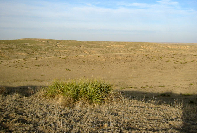
This is a very remote area. I rather like it. It was interesting that while there was a fence line along the Colorado border, there was no fence or any other marking along the Kansas Nebraska border.
Colorado
I stayed on the dirt road heading north until I picked up pavement, and then turned west towards Wray, Colorado. I'd return on US 385 all the way down the Colorado side of the border.
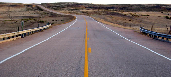
I spent the night at Burlington, Colorado. The next morning I stayed on US 385 south to US 50.
Cheyenne Wells, Colorado. The view west.
And, the view east (with the requisite dog in the photograph).
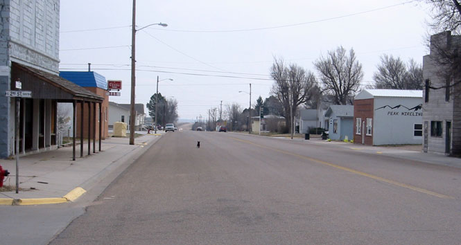
Sheridan Lake, Colorado. While a few people do live in these towns along the highway, the towns themselves are nearly all dead.
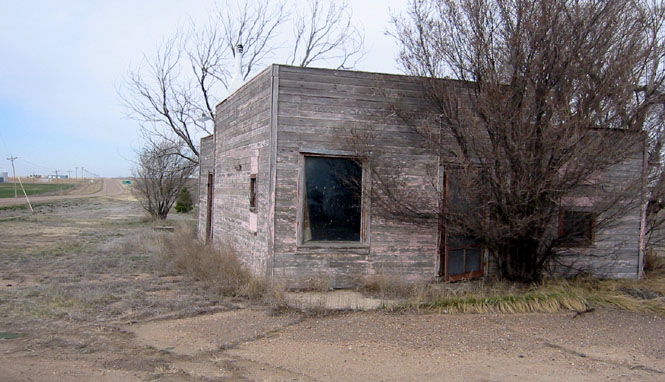
The corner service station.
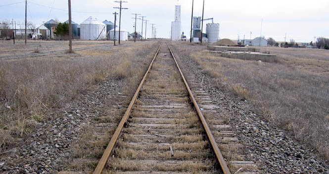
By the looks of these tracks, it won't be long before they're torn up and removed.
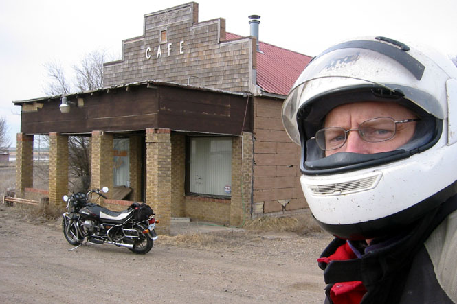
Bristol, Colorado
Back when none of the roads were paved and the typical speed was less then 30 mph and the driving range was very limited, there was a need for many more gas stations. Not now.
Kansas
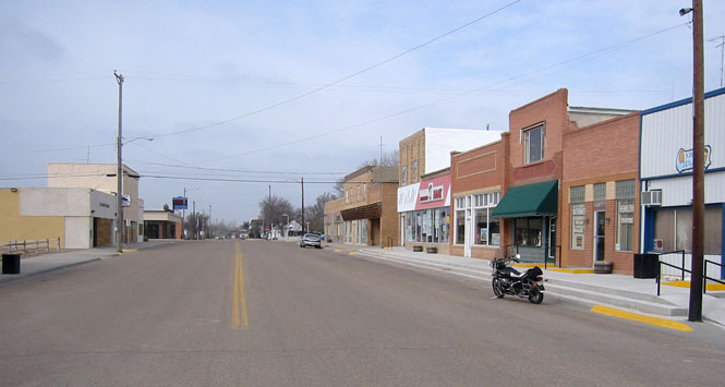
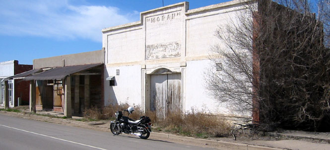
Coolidge, Kansas. This is the bank building. 1888. It's generally the bank that is the first to close its doors. But, it's generally the bank building that is the last to crumble when a town dies.
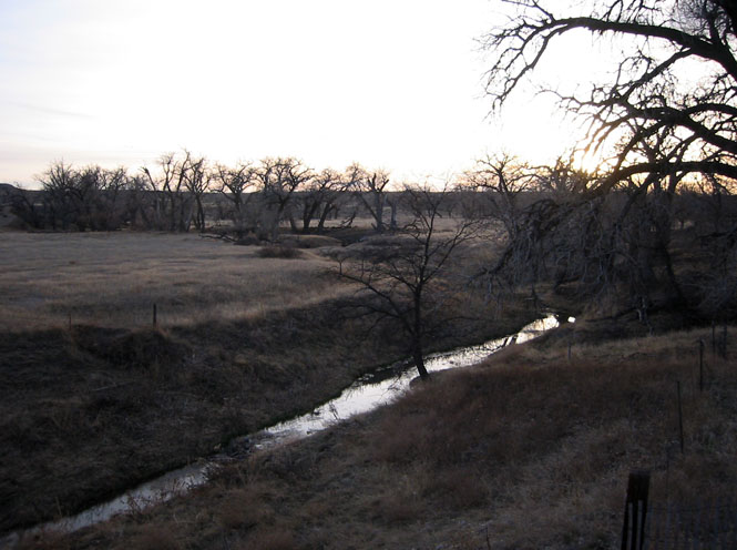
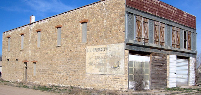
Kendall, Kansas is on the Arkansas River. It's been bypassed by US-50. Back in the days of steam, Kendall would have been prosperous, enough. The tracks are still there.

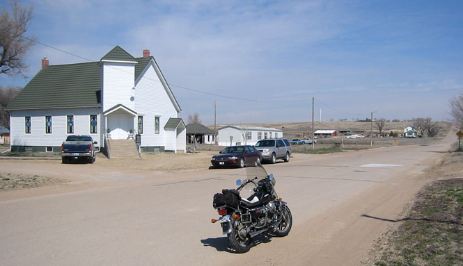
Sunday morning at the nice looking Methodist Church in Kendall. Likely you'd have plenty of open pews to choose from.
Lunch at Lakin, Kansas (and another stalking photograph).
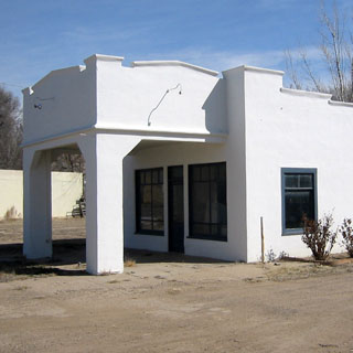
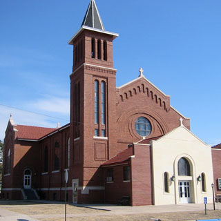
Spearville, Kansas is not very far east of Dodge City. This church sits at the end of the main street through town.
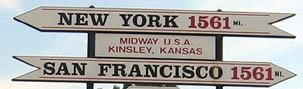
At one time Kinsley was the mid-point of US-50. I really question that now, though. There have been plenty of improvements to the road all across the country, so, is this really still the mid-point? It'd be easy to find out, but I suppose there's no point in taking away their single claim to fame.
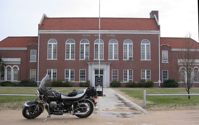
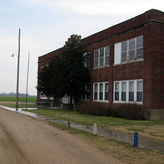
Sylvia, Kansas has an amazingly nice grade school...
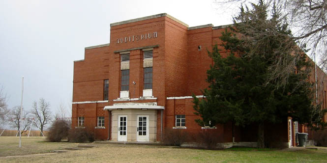
...and nearby Plevna has a rather nice gymnasium.
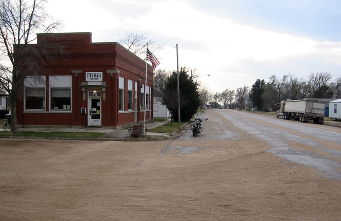
The old bank building is now the city hall.
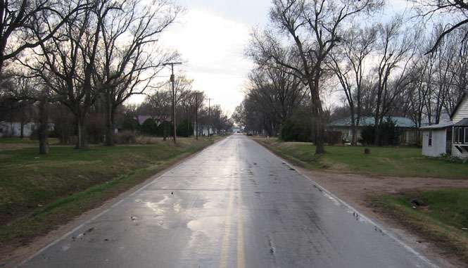
I started to get more and more rain, but it was never so heavy that it was a problem. This is the center of Abbyville, Kansas. I'm well off the main highway at this point.
The Abbyville school.
Now that I've seen the northwest boundary, I need to think about finding the southwest boundary. That one is in the Cimarron Grasslands, so it might require some hiking. This trip was about 900 miles. Quite a nice one.