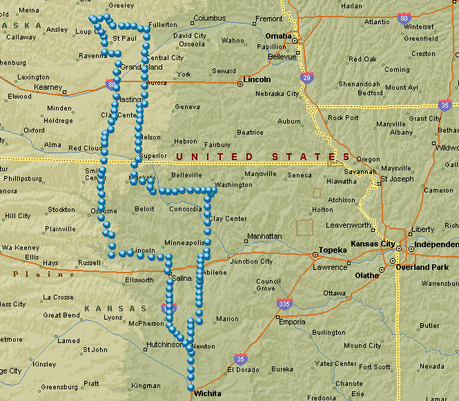
April 23, 2005

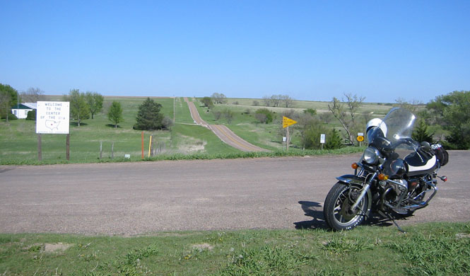
Happy Jack's Peak is a chalk formation just about in the middle of Nebraska.
This isn't a piece of information that I knew anything about before I looked over a Nebraska map for someplace that might make an interesting weekend ride. But, I had been through the general area drained by the Loup River (and its various forks), so I at least had some idea of what the area would look like.
Anyway, Jack's Peak was the destination for this ride.
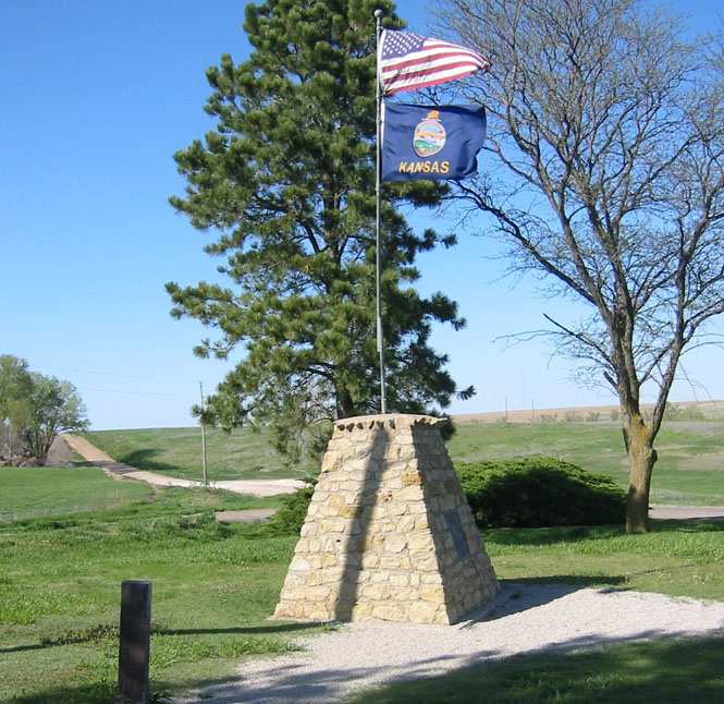
 Kansas
Gaining a bit of ground by staying on US-81 past Salina, I turned west on Kansas 18 towards Tescott--being a much smaller road with almost no traffic.
There's no telling how long this school has been abandoned, but it was certainly built to last.
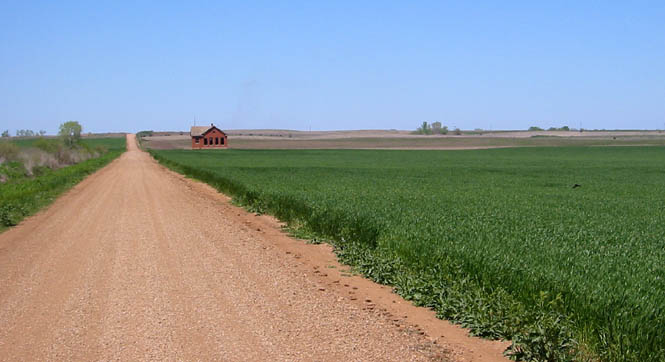
As you can tell, if you drive a couple of blocks west of town, you'll be in a wheat field.
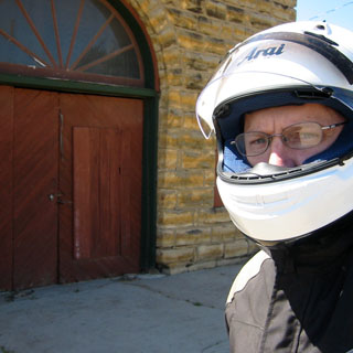
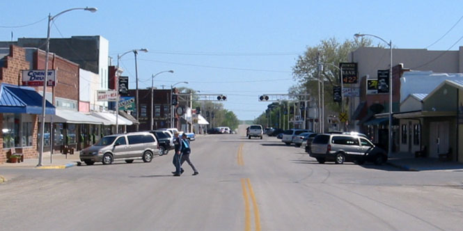
Answer: Yes, people do stare at me when I'm standing in the middle of their Main Street wearing my spaceman riding suit (and sometimes a helmet). No, it doesn't bother me.
Sylvan Grove used to be the home of the National Moto Guzzi rally. Since the 1980's the rally has moved around the country.
Best I can tell, this building used to be the livery stable. It looks like it then took on other roles, but I don't know that it's much used at all, anymore.
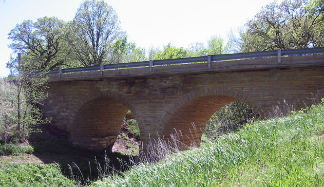
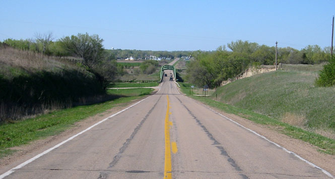
Turning north on Kansas 181 took me through a number of seldom-visited towns. This bridge was built around 1910 and carried the highway until the mid 1990's. Today there's a more capable bridge a few hundred yards away. The new one doesn't look as nice as this one, though.
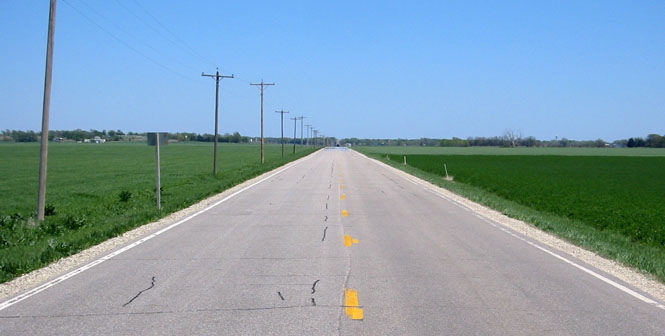
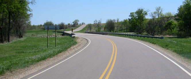
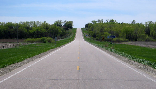
For such a minor Kansas highway, the surface was in terrific shape (there might be a connection). This is a relatively hilly area.
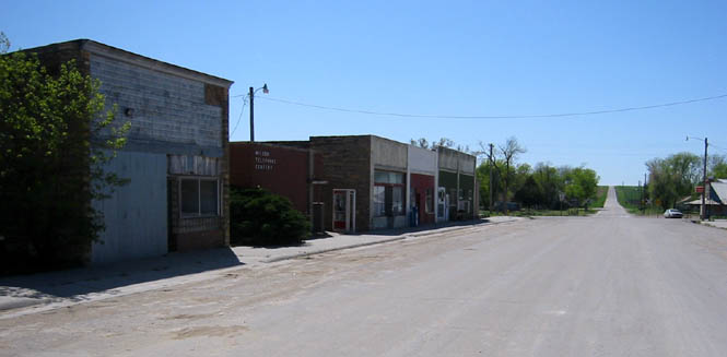
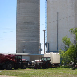
There's not a great deal going on in Hunter, Kansas these days, but at least their grain elevator is still in use.
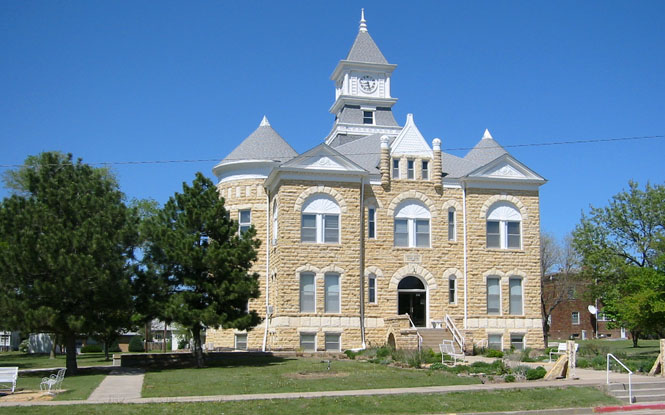
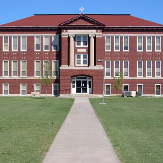
Why was this large Catholic school built in Tipton, Kansas? I don't know, but, I would guess that the whole town could easily fit inside.
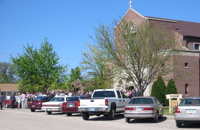
It looks like I stumbled onto a wedding. The church is next door to the school.
I was glad to see the town of Downs as I was running on reserve. Most of these smaller towns do not have operating gas stations, so I was rather hoping that Downs would be big enough to support one. It was, and it did.
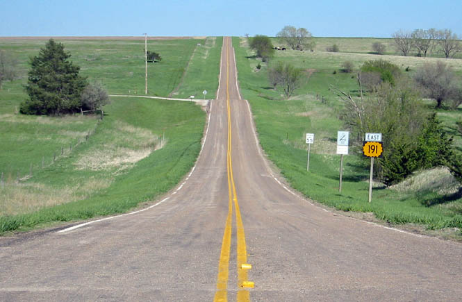
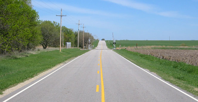
Kansas highway 191 is not long--not much over a mile,
 Nebraska
Eventually, Kansas highway 181 merges with US highway 281, which is what I was on when I crossed into Nebraska. Not far north of the border is the good looking town of Red Cloud. This was the home of Willa Cather, and the town makes a great deal of that.
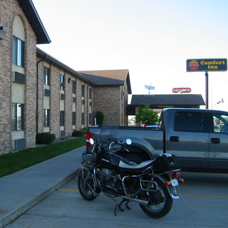
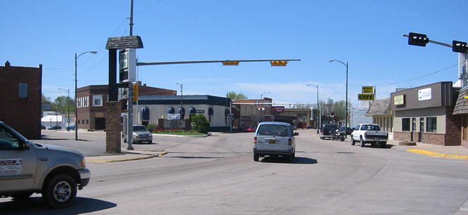
Considering my rather late start (it was afternoon) it wasn't looking promising to make Happy Jack's Peak (I didn't want to get there with the sun going down), so after making it through all the lights of Hastings, Nebraska, I called it a day at Grand Island.
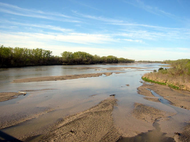
There are three major forks of the Loup River: North, South and Middle. This is the Middle Loup River.
Several of the towns in this area were founded by immigrants (or is that emigrants?) from Denmark. This is Dannebrog, Nebraska.
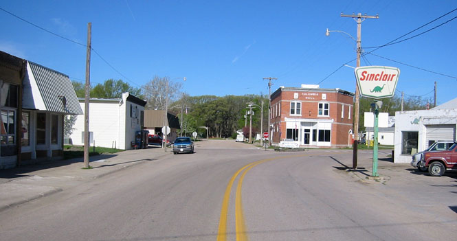
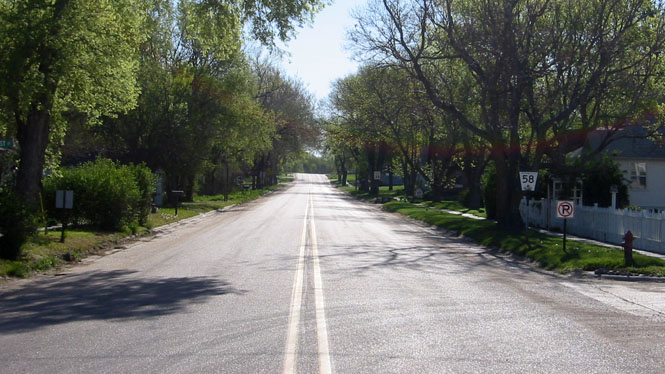
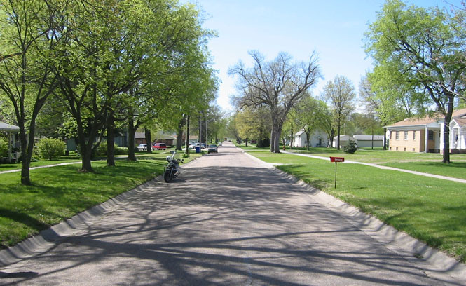
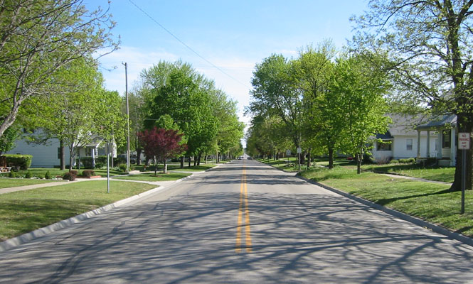
It's a nice little town, with lots of old trees along the streets.
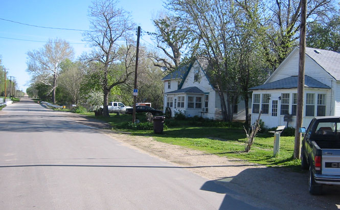
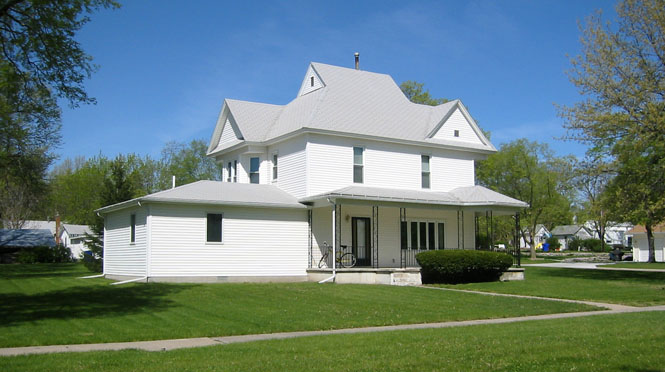
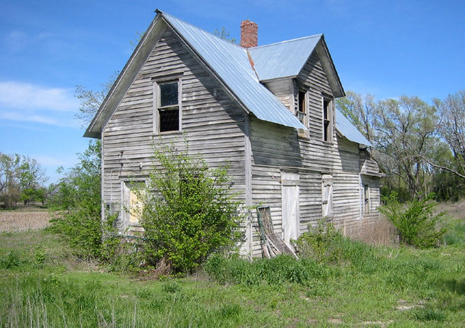
There's nothing significant about the two houses in the photograph; they're just typical for the area. It was a quiet Sunday.
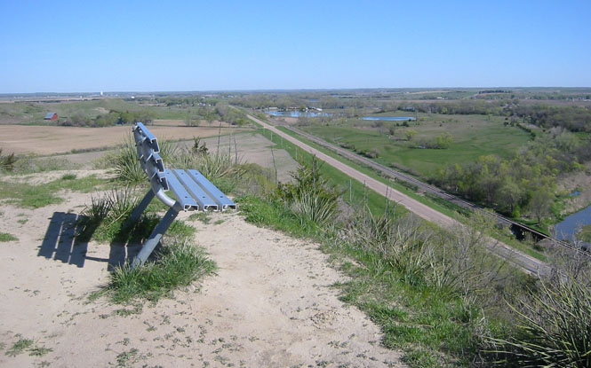
And here we are! At the top of Happy Jack's Peak. There is a rather steep path with stairs made from railroad ties taking you to the top. It was nice to see the bench, although I wouldn't have wanted to be the person to haul it up. A nice view of the river--this is the North Loup. The small town of Scotia is just across the river in the distance. I'd be heading down that highway, and then turning right (east) though Scotia.
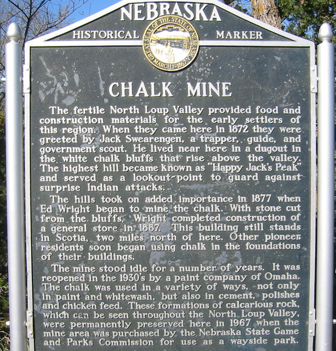
I was not here during the "season" so the mine entrances were closed. There was a park at the bottom of the hill. Of course, this morning I was the only one here.
I picked up Nebraska highway 22 from Scotia and headed over rolling hills to Fullerton before turning south on Nebraska highway 14.
I rode through the business district of Fullerton looking for a place to eat breakfast. There was at least one cafe, but it wasn't open (I counted four cats while taking this shot).
But, Central City, Nebraska was certainly big enough to support a cafe (probably several). You can just see my motorcycle parked under the yellow "Cafe" sign. Good food; no pictures.
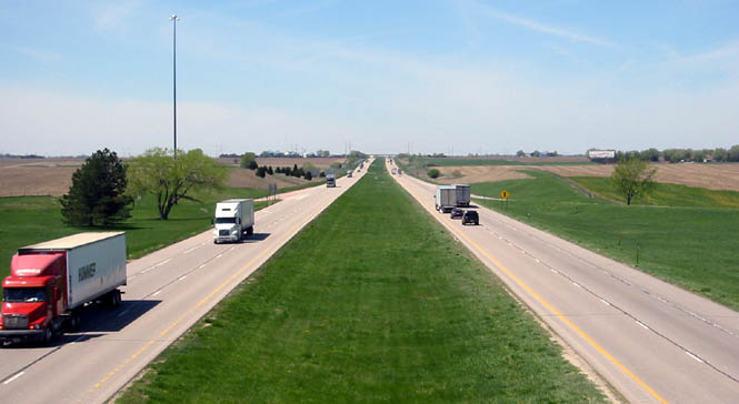
Nebraska highway 14 crosses Interstate 80 at Aurora. I've ridden this section of freeway a number of times, but it's not especially enjoyable. When I have the time, I much prefer to stay on US-30, which is the route of the old Lincoln Highway.
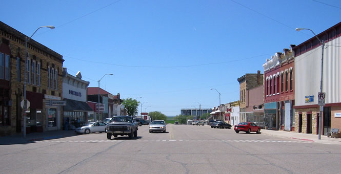
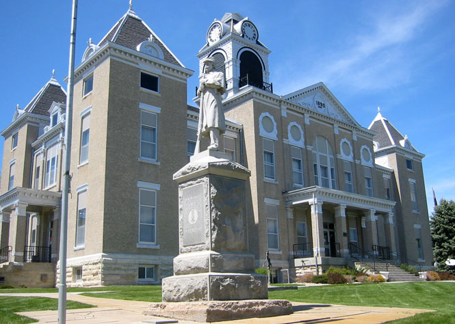
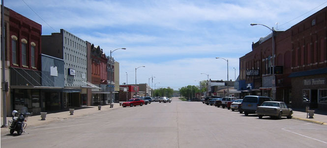
The town of Clay Center, Nebraska is the county seat of Clay county. This should not be confused with Clay Center, Kansas, which is also the county seat of Clay county. The two Clays are not that far from each other. Likely they're used to exchanging mail.
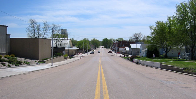
Superior, Nebraska is just north of the Kansas border.
I stopped for a splash of fuel at the border, and found these guys (along with several others) out back.
Kansas
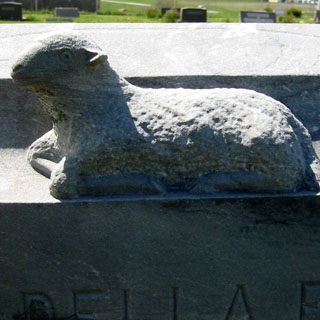
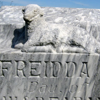
I hooked up with US-36, and took it east for some miles, stopping at a cemetery near the town of Formoso that looked like it might be an interesting one. It was.
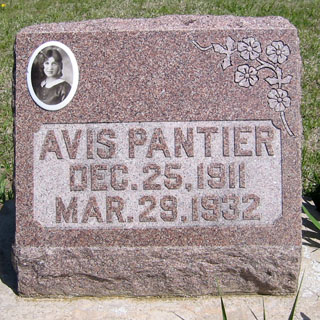
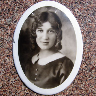
This was a particularly nice example of porcelain photograph printing. Avis was just over 20 years old. Makes you want to know more about her.
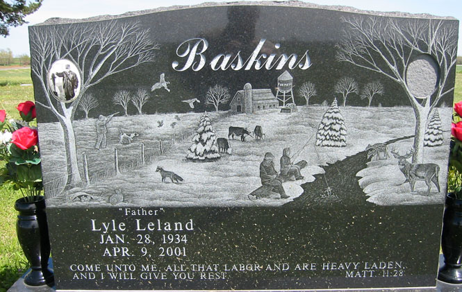
I liked this one. Lyle has died, but his wife apparently still has time to select her own photograph. Lyle is shown with a very large fish.
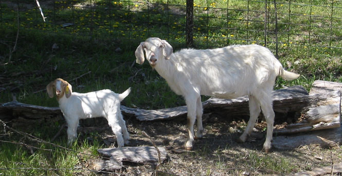
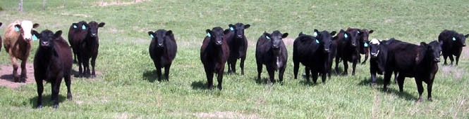
At first these young cattle were rather shy of me. I gave them my best "Mooo", and was surprised that they not only looked up, but they came trotting up to me. Sorry guys, I have no food (if that's what I said in cow-talk).
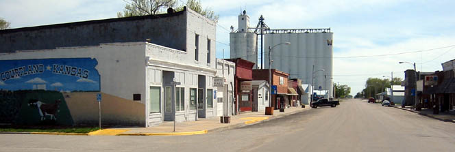
From Courtland, Kansas I dropped south on an unnamed road (only hoping that it would be paved--it was).
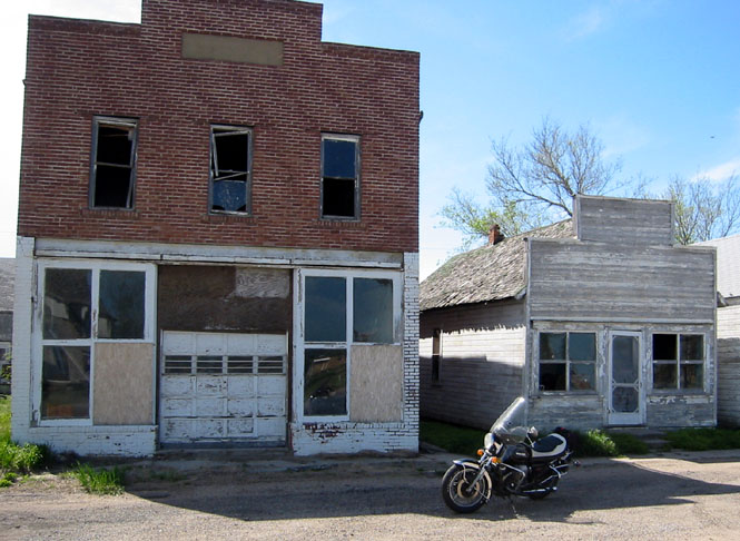
I gather that this is Kackley, Kansas, but you wouldn't know by the buildings.
Norway, Kansas has an extra wide main street, and must have been quite impressive in 1920. Pretty quiet, today.
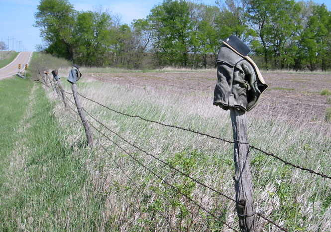
I stayed on Kansas highway 148 and crossed over US-81. Here's another fine example of fence post protection.
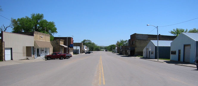
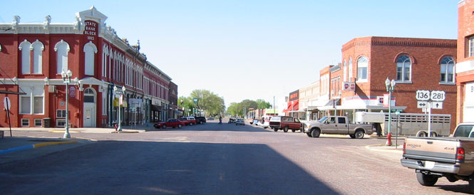
And here is Clay Center, Kansas.
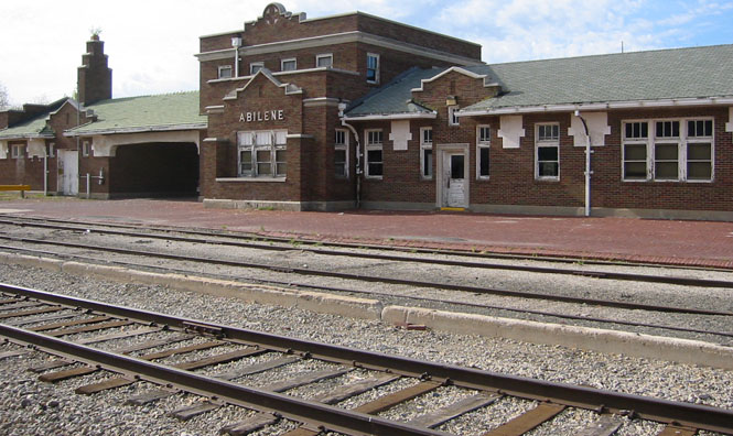
Eventually, I had to turn south, so I picked up Kansas highway 15 and took it through Abilene, and then all the way back to Wichita.
A nice trip, just about 750 miles.