May 14, 2005

What started out as an intended trip to Colorado Springs, ended as a trip to Olney, Texas. I didn't get away until around 1:00, Saturday, so Colorado was out.
I had been to Olney, Oklahoma several weeks ago, and recently found that there was also an Olney, Texas. That seemed a good enough reason to ride down to Texas.
 Kansas
The fast way would be to drop down to Oklahoma City, and then over to Lawton and Wichita Falls. But, what would be the point of that?
 Oklahoma
Instead, I tried to pick up a number of roads in Oklahoma that I hadn't ever ridden. For the most part, OK-34, south of Woodward, was new for me, so I cut across to Anthony and Alva, to Woodward, and then turned south. I intended to get a couple shots of Little Sahara State Park along the way, but the normal entrance was now an exit-only, so I missed my turn. No matter; it was looking very busy anyway.
Vici, Oklahoma is midway between the two forks of the Canadian River. There's not much more to say about it.
The route of OK-34 follows the old cattle trail from Texas to Dodge City. I'd guess that millions of cattle have come through this area. Probably there were very few trees, then. This bridge on the Canadian River is the site of the ford used in those cattle drives. What a scene that must have been.
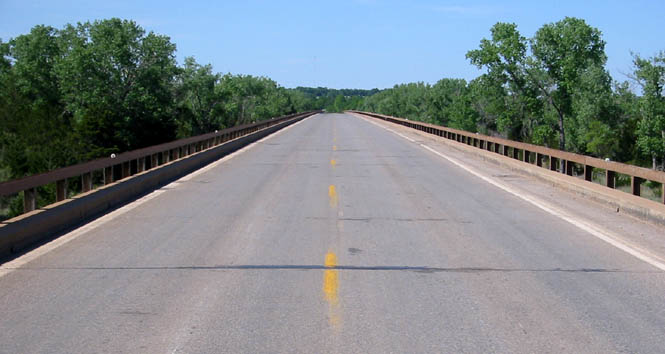
This crossing isn't too far from Camargo, Oklahoma. I can imagine that Camargo was used as a base camp during the cattle crossing. It's all pretty quiet these days.
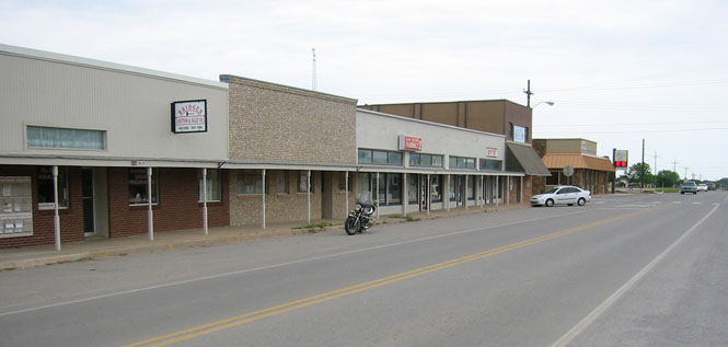
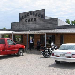
I stayed on OK-34 through Elk City (crossing I-40), and skirted around the Wichita Mountains, which were clearly visible to the east. Mangum, Oklahoma is a fair size town, with the classic arrangement of the courthouse in the center square and the businesses across the four streets that surround the square. Joe's Place (below) seemed to be the only going concern on this street.
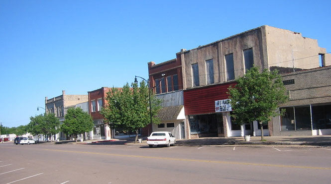
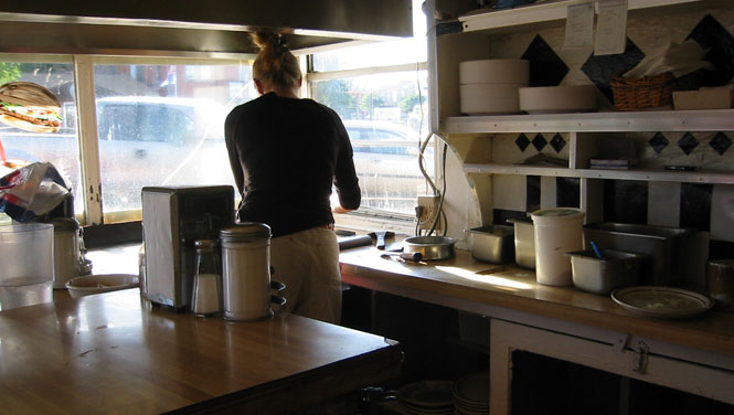
But, I didn't eat at Joe's. I ate at the Hamburger Inn.
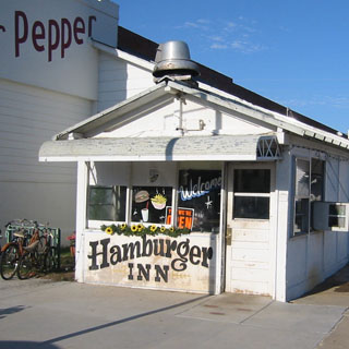
Naturally, enough, I had the cheeseburger: grilled on a bed of onions. Highly Recommended.
I parked my motorcycle under the cover of the old gas station on the corner (on the right) and walked the length of the town. That didn't take long.
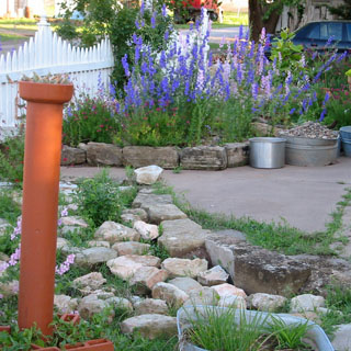
A few people still live in Eldorado. These folks had a nice little garden.
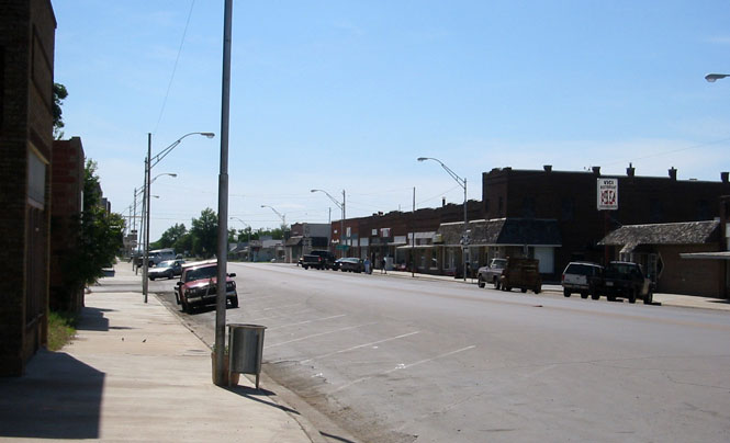
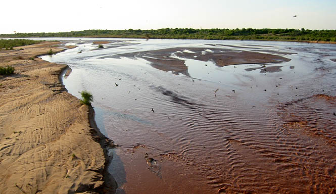
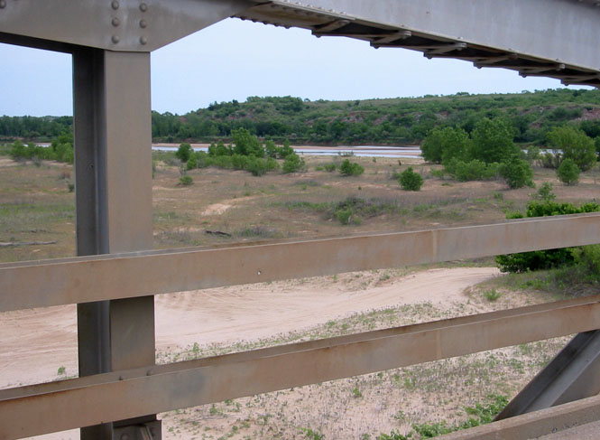
The Red River is only seven miles south of Eldorado. It should not be a surprise, but this river is truly red. The specks you see in the photographs are the birds (barn swallows?) that have nests under the highway bridge.
That's the railroad bridge, below. I couldn't tell if it was still used.
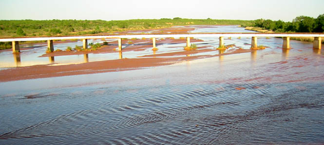
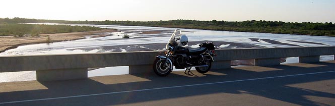
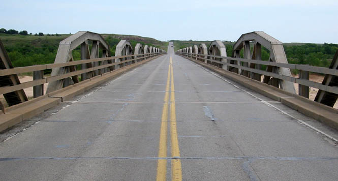
This bridge I'm parked on was obviously fairly new. I'd expect that the old one was a multiple span truss bridge. I hate to see those old bridges replaced, but they do rust, and they were never meant to take the heavy weight of today's semi-trucks. Progress.
 Texas
Texas
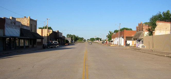
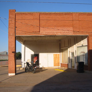
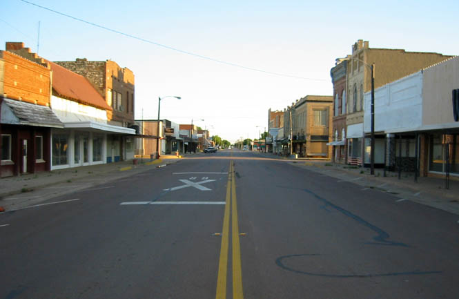
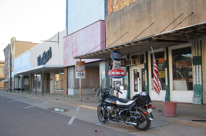
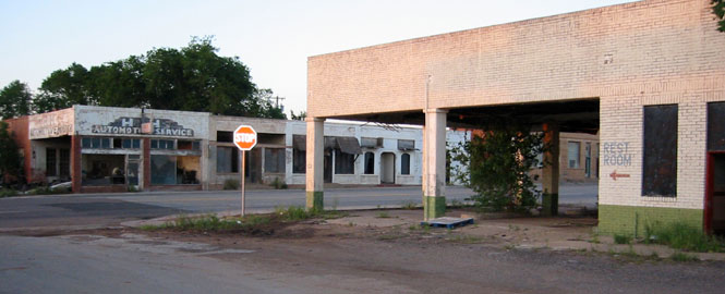
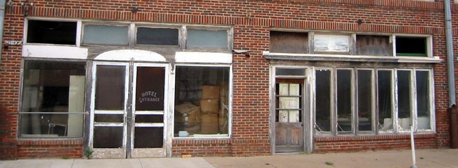
Quanah, Texas is just south of the river and is a miserable looking town. Times have not been kind to Quanah. The only business still operating on main street seems to be the smoke shop.
See that red thing on the road, to the left of the motorcycle? It's a fresh rose. Makes you wonder what the story is.
I turned on US-287 to head generally south and east. This isn't really a freeway, but it is four-lane. Even so, I was not expecting such a nice rest-stop. Quite a change from the towns that this highway runs through. The nicest building in the whole county is at the rest-stop?
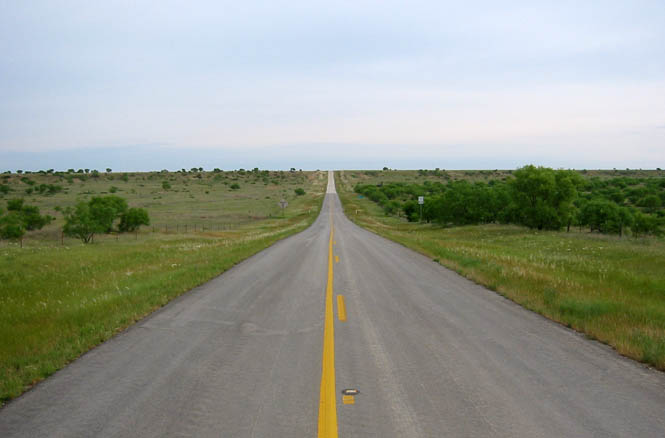
This is really one of the poorest regions I've been to. All the towns looked about this sad. There were few open businesses in Chillicothe, Texas. Curious, that it was not obvious why these towns were here in the first place. There's wheat, cotton, cattle, and oil. I didn't see much sign of any of those. Whatever it was, it didn't last.
I spent the night in Vernon, Texas.
The next morning, I dropped south on US-183 towards Mabelle, Texas. Note that Mabelle really exists in name, only.
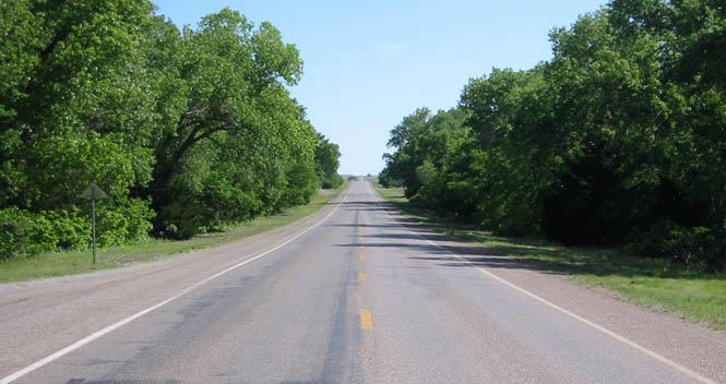
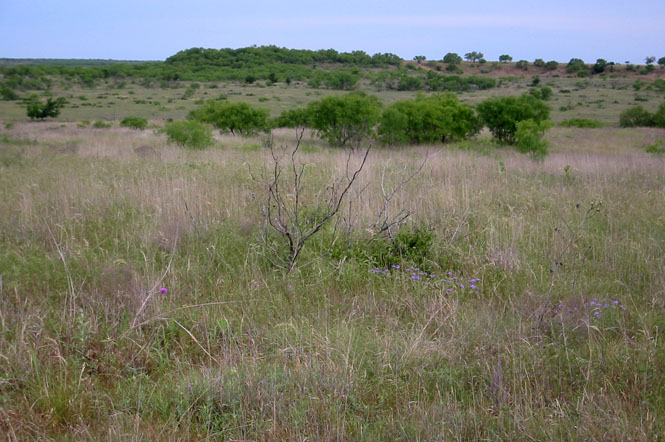
It's not as clear in this picture, but the wildflowers were out in Texas. In some areas the fields were full of color (I can't be expected to stop all the time). This is not exactly flat country, but is made of lower ridges with dry creeks.
From Mabelle, I followed a couple of farm-to-market roads, and then hooked up with TX-114 to Olney, Texas.
Of course, except for the name, I had no real reason to be here. I parked the bike and walked around for a bit. Not much traffic.
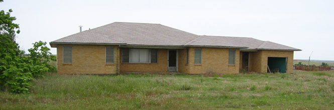
This was a good sized multi-story hotel, just off main street. Not much left to do with it, now.
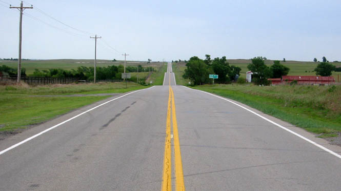
From Olney, the trick would be to return to Wichita along as many new roads as I could find. Unfortunately, I don't carry a map marked with the "done roads." That would be helpful, but too much trouble. I'd head towards Wichita Falls, and then work my way around to the west, again. I certainly wouldn't be going through Oklahoma City.
This is the crossing of the Red River, back into Oklahoma. I'm sure a bridge just like this is what used to be at the other crossing.
Oklahoma
I stopped for fuel in Waurika, Oklahoma, which is just north of the river. Not much activity on this Sunday morning. Nice trees.
I sort of zigged and zagged north and west to the town of Elgin, Oklahoma. Why Elgin? Well, I've been to Elgin, Oregon and Elgin, Kansas, so it seemed reasonable in keeping with the overall theme of this trip to see Elgin, Oklahoma.
The Wichita Mountains cover a large area in southwest Oklahoma. They're not really mountains, of course, but I won't trouble over the name. I can appreciate why somebody put the windmills here, it's just a shame, though, as they do spoil an otherwise amazing landscape. And frankly, I doubt that it's appreciably more windy here than in some wheat field away from this area.
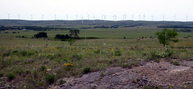
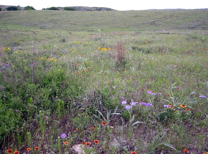
So, we'll face the other way from those windmills. If you look in the foreground, you can see some of those wildflowers that I saw all through Texas and southern Oklahoma.
Oklahoma highways 115 and 54 were mostly un-ridden, so this was a good chance for me to pick up these new roads. This photograph was taken near the very small town of Cowden, Oklahoma. We're looking due east. Most of the roads run north-south or east-west, so you'd need to be pretty incompetent to get too very lost.
Sometimes you can't find a buyer at any price...
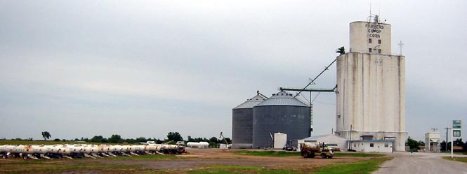
On the Oklahoma map, Corn looked like the sort of town that always intrigues me: a small town at the end of a single paved spur road. As it happens, the pavement does continue through town, just not as part of the state highway system. Corn, Oklahoma is a nice sort of place. I stopped here to get gas at the co-op (unmanned pumps outside of town).
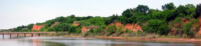
Needing to cross the two forks of the Canadian and the Cimarron rivers, limited my choice of roads. There are not that many bridges across these wide rivers. This is Longdale, Oklahoma, which is between two of those rivers. I stopped for lunch. Good food.
I had been around the west side of the Great Salt Plains, near Jet, but I had never been on OK-38, which runs up the east side.
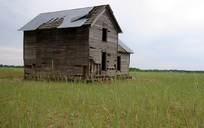
I stopped here to catch a picture of the highway (with an impressive hedge row) as well as the old farmhouse out in the field.
The spillway of the Great Salt Plains Lake:
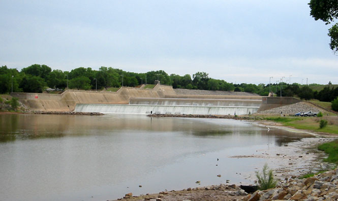
Downstream from the dam, the river can return to its original banks.
Manchester, Oklahoma, is just south of the Kansas line. I like towns that have a definite beginning and ending. You can see the entire town at a glance.
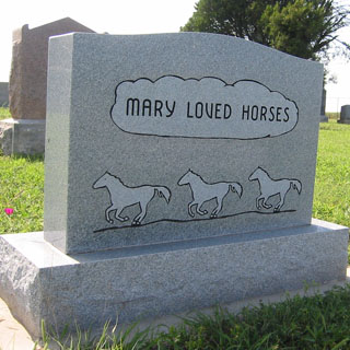
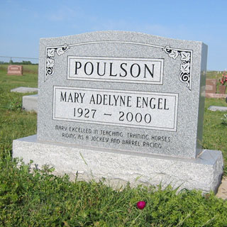
Two sides of a headstone in the Manchester cemetery. You never knew Mary, but you'd probably like her.
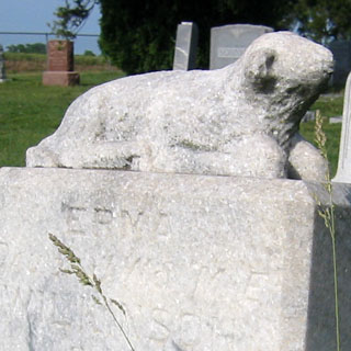
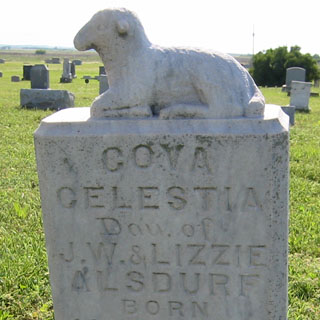
Also taken in the same cemetery:
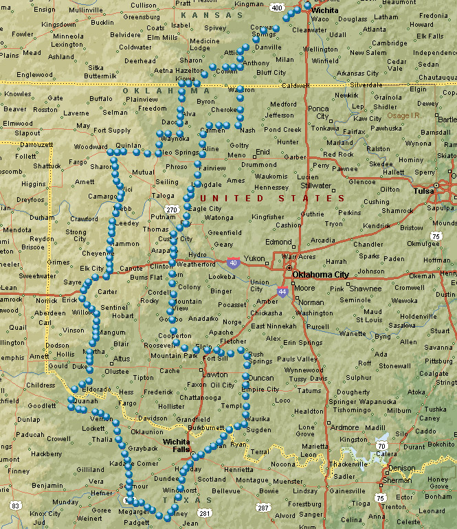
Kansas
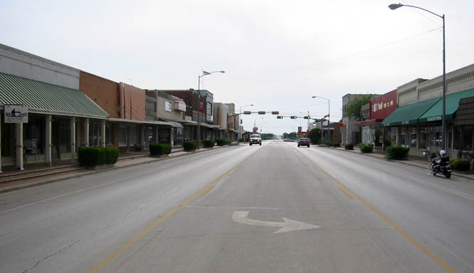
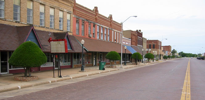
Anthony, Kansas is the county seat of Harper county. Interestingly, it is not built on the classic plan with the businesses surrounding the courthouse. The courthouse is a couple of blocks north.
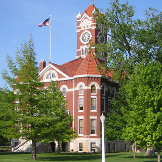
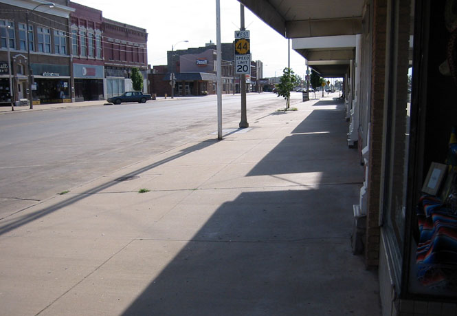
Downtown Anthony, Kansas.
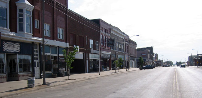
Walking on the south side of the street--not very many window shoppers this evening.
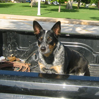
I think on most trips I've taken a picture of at least one animal (headstone sheep don't count). I did see a number of sheep (live) in Texas being watched over by tending Llamas. That would have been a good picture. Instead, you'll have to take this guy, who was guarding his pickup truck:
Nice trip. Perfect weather (just a few sprinkles, and never hot). Just about 900 miles.