February 25, 2012

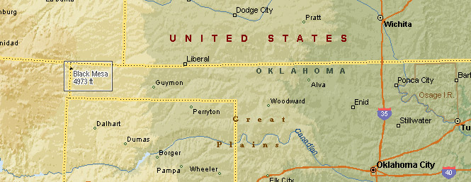
Black Mesa is just about as far west in Oklahoma as you can get without stepping into New Mexico (or Colorado).
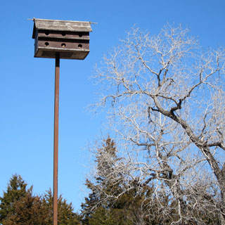
 Kansas
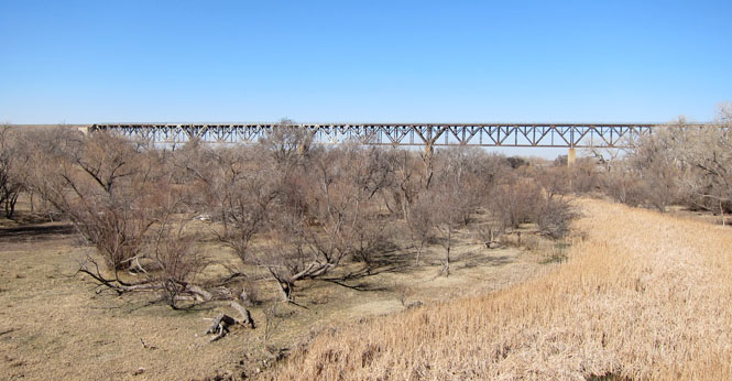
East of Liberal, Kansas the road takes a long drop to the Cimarron river before climbing back up again. It's no wonder that this was a difficult crossing for the railroad. The eventual solution was to build a bridge over the entire thing.
The Samson of the Cimarron bridge over the Cimarron river.
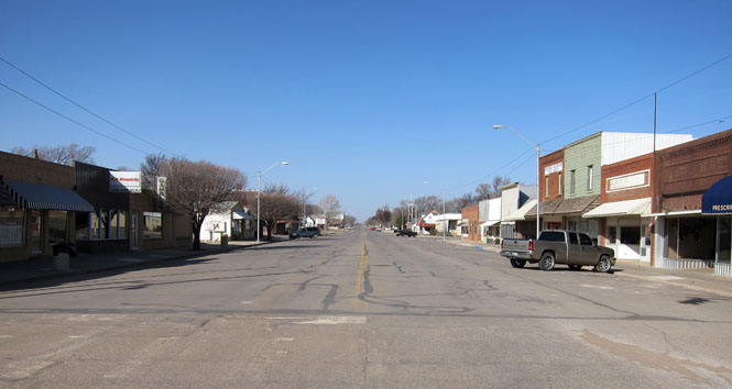
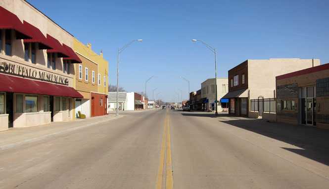
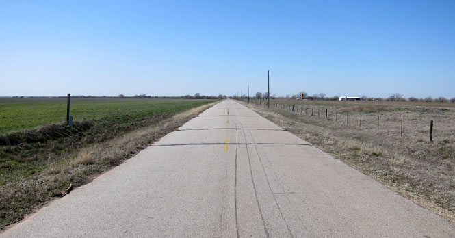
 Oklahoma
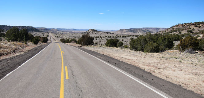
Guyman, Oklahoma is the turnoff point to head west to the very end of the Oklahoma panhandle.
The day was extraordinarily windy. You'll notice the brown haze in the photograph. Dust.
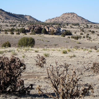
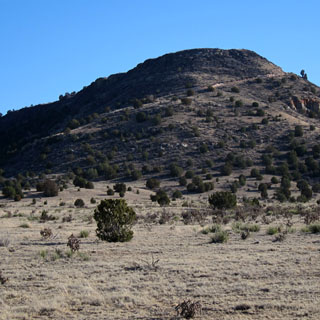
Just beyond this photograph is the small town of Kenton. The Butte in the distance on the right side is Black Mesa.
Q: What's the difference between a butte and a mesa?
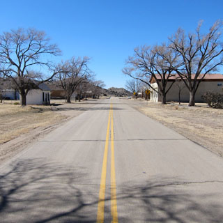
Kenton, Oklahoma. There's even less here than the first time I came through about thirty years ago.
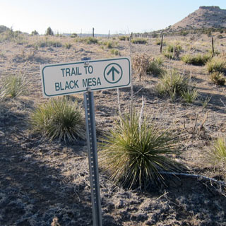
This narrow (but paved) road curls around the right side of Black Mesa.
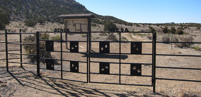
The gate at the parking lot (each panel has a different set of tracks--clever).
This is what Nature Conservancy says about Black Mesa:
Located in Cimarron County, Oklahoma, Black Mesa Nature Preserve
consists of approximately 1,600 acres. In 1991, the Conservancy conveyed its
property to the Oklahoma Tourism and Recreation Department with restrictions
regarding development and other use. The preserve protects about 60% of the
mesa top in Oklahoma in addition to talus slopes and plains habitat. A
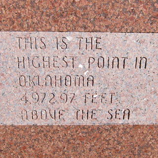
native granite monument marks the highest point in Oklahoma — 4,973 feet
above sea level.
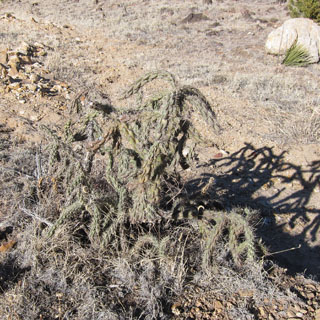
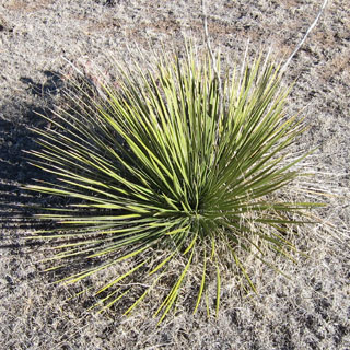
The Black Mesa area supports 31 state rare species
(23 plants and eight animals) and four community types. Here, the Rocky
Mountains meet the shortgrass prairie and it is unique in that it represents
an area where many species are at the easternmost or westernmost portions of
their range. Vegetation on the top of the nearly flat mesa comprises a
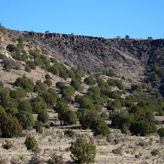
Bluestem-grama shortgrass community. The mesa's talus slopes support a
one-seed juniper/shrub oak community, while similar slopes of neighboring
smaller buttes support a one-seed juniper/pinyon woodland community. The
plains below the mesa support a shortgrass prairie.
Black Mesa is a birder's
paradise any time of the year. Golden eagles, scaled quail, black-billed
magpies and pinyon jays are just a few of the birds that may be observed.
Black bear, bobcat, mountain lion, mule deer, bighorn sheep and antelope are
some of the mammals that may be seen in the mesa region.
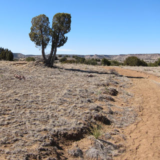
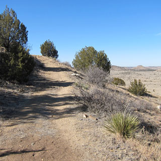
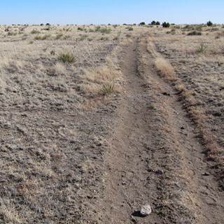
From the parking lot to the summit is about 4.3 miles.
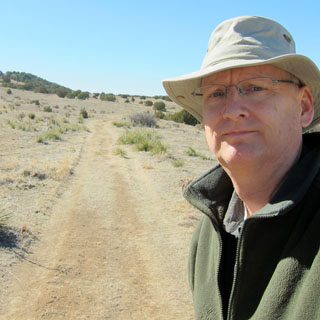
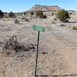
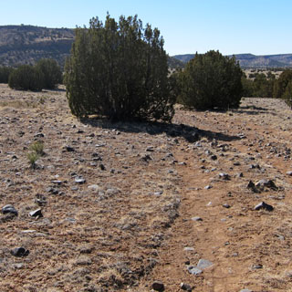
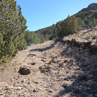
There were enough of these green arrows along the trail that you couldn't become too very lost. The trail--in the beginning--is pretty easy.
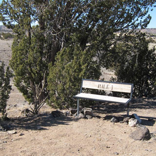
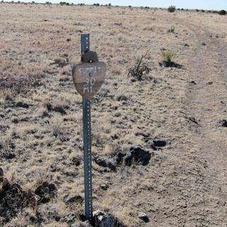
There are helpful benches at one mile, two miles and three miles.
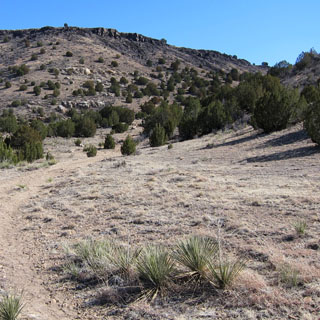
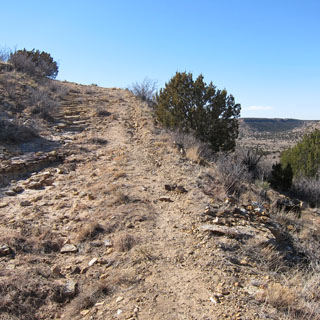
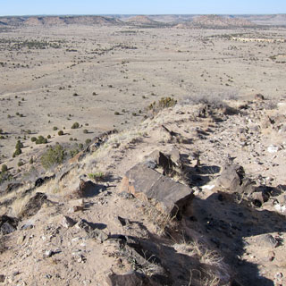
Of course, you know you'll eventually be climbing to the top of the mesa. The trail gets steeper...
...and then steeper, again (not to mention, quite rocky).
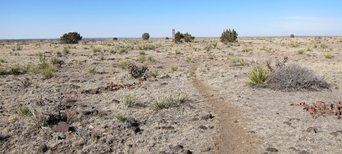
Ah... the top. This last sign says "Summit .30 miles" I looked at it as something of an explanation of why there isn't a bench--you're almost there; keep going.
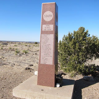
There's the obelisk.
At 4,972 feet, this is the highest point in Oklahoma. Both New Mexico and Colorado are within view.
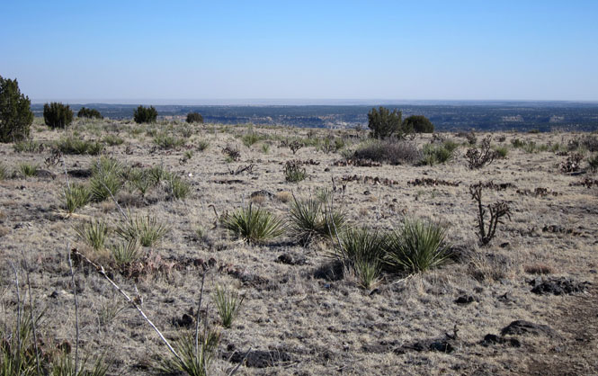
The view south (towards Kenton).
And now, the walk down. It may not be apparent, but I'm standing on the trail while taking both shots.
A terrific view to the north. Some of those more distant hills might be in Colorado.
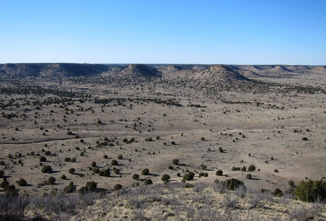
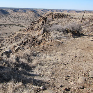
That diagonal slash up the hill? That's the trail I just came down.
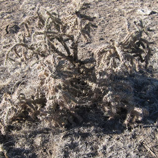
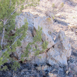
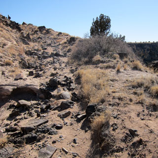
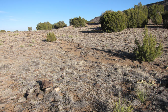
Many, many years ago there were some serious lava rocks being tossed around.
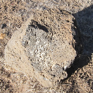
A good place to twist an ankle if you're not paying attention.
A:
A Butte is an isolated hill or mountain with steep or precipitous sides
usually having a smaller summit area than a mesa (Merriam Webster).
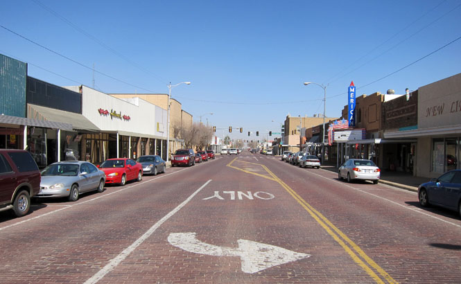
 Texas
Texas
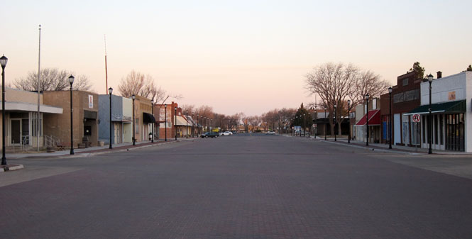
Stratford, Texas just as the sun is rising.
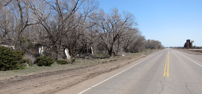
Oklahoma
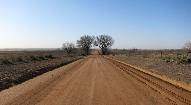
The road south to Logan, Oklahoma. I wasn't sure what I'd find.
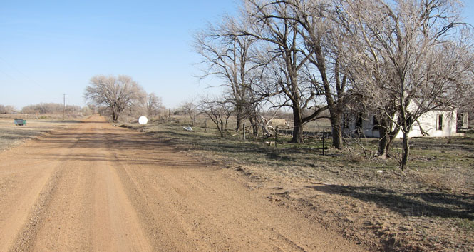
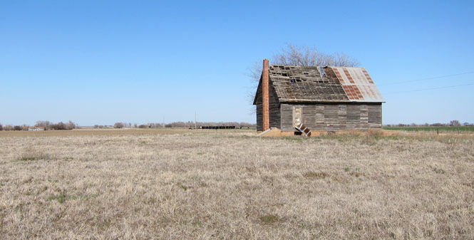
Logan, Oklahoma. I didn't find much. There was evidence of building foundations, but this was pretty much it. Logan was founded in 1888 and once had a hotel, filling station, garage, general store and blacksmith shop.
Laverne, Oklahoma.
Buffalo, Oklahoma.
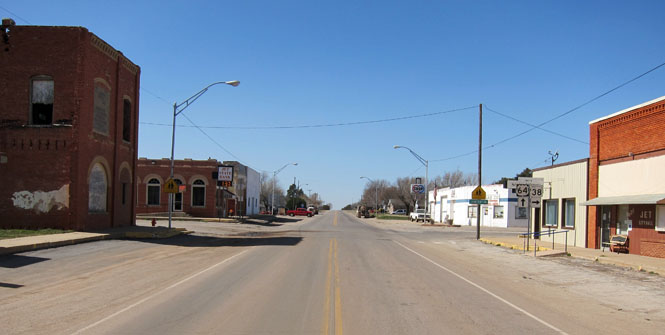
Ingersoll, Oklahoma. That appears to be the main business district on the left. In the distance you can see a couple of elevators that pretty much define the whole town these days.
Cherokee, Oklahoma.

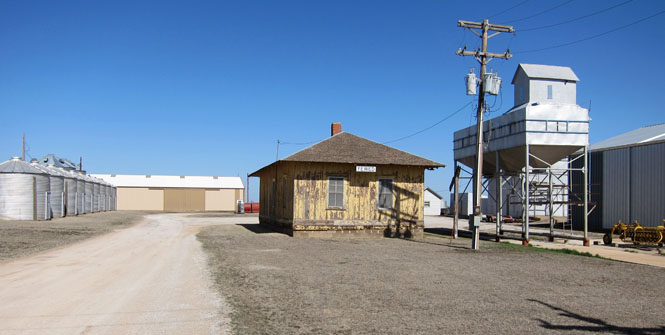
Yewed, Oklahoma. The depot remains, but the tracks are gone. The Yewed post office was opened in 1898. The name is "Dewey" spelled backwards--Dewey being a popular Admiral of the Spanish-American war (evidently, the preferred name was already taken).
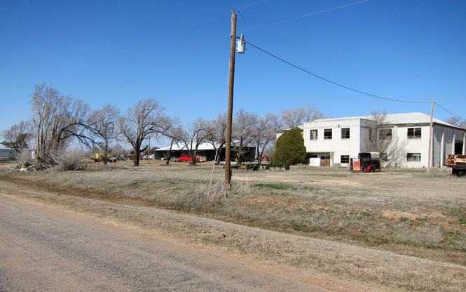
Lambert, Oklahoma. This large school building remains, but the rest of the town is gone. Lambert first had a post office in 1901.
Jet, Oklahoma.
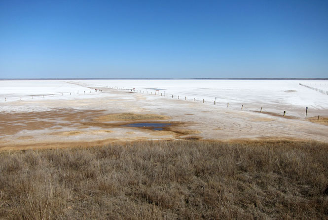
The Salt Fork of the Arkansas river has a large area covered by salt flats. Some of that is now covered by a reservoir. Vining is the nearest small town.

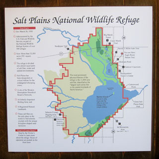
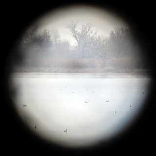
This may (or may not) be the best time for looking at birds.
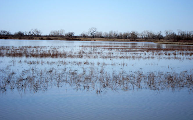
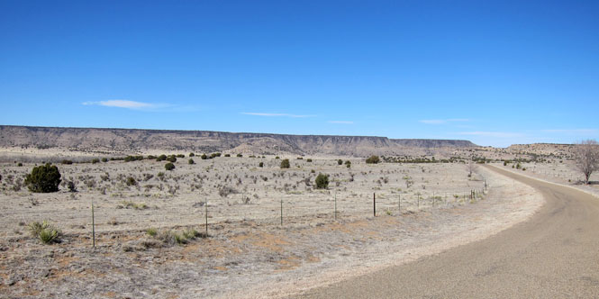
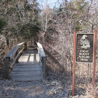
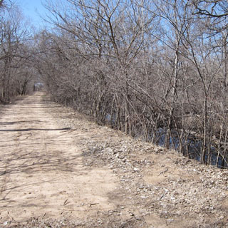
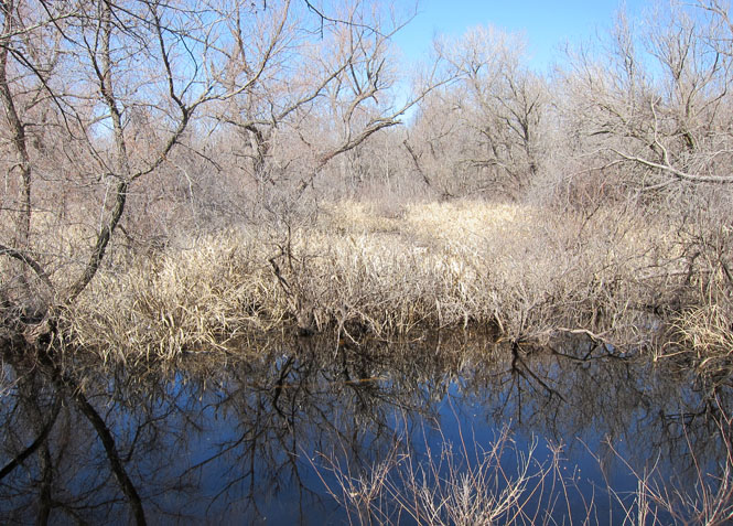
Looping around the west side of the plain to see the salt flats.
This old school was built well to be still standing.
Selenium digging is allowed, but only between April and October.
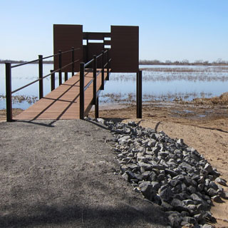
Thirty years ago, this same area looked like this:
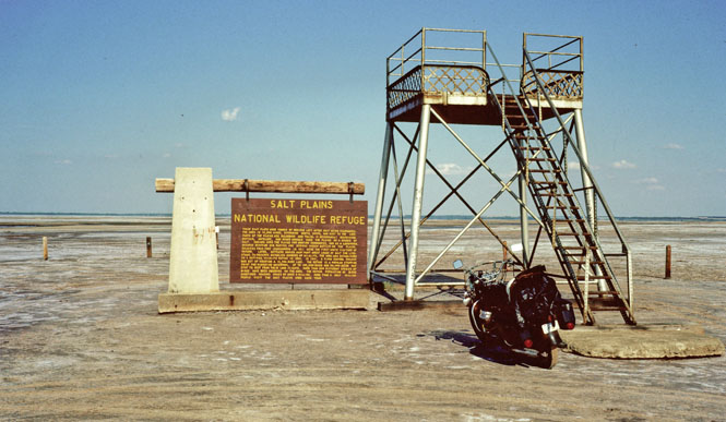
Both the sign and the platform are gone. Possibly, small pond of water indicates where it once was.