May 11 - 12, 2013

Talihina, Oklahoma is in the southeastern part of the state. People are often surprised at how mountainous this region is. Somehow, Arkansas and Missouri get all the credit for the Ozark Mountains, but mountains don't respect state boundaries. Oklahoma does get its share of scenery, too.
 Kansas
I've often stopped in Chetopa at this small cafe. If nothing else, it's a good opportunity to catch up on farm prices by listening to the conversations at the other tables.
 Oklahoma
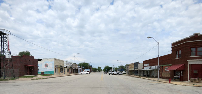
Welch, Oklahoma. I'm mostly following US-59 south through the state.
The Neosho River has a number of dams and lakes on its way to combining with the Arkansas River. This is Sailboat Bridge over the Grand Lake of the Cherokees.
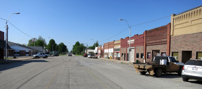
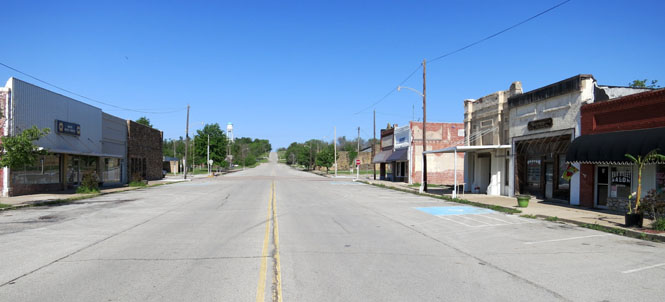
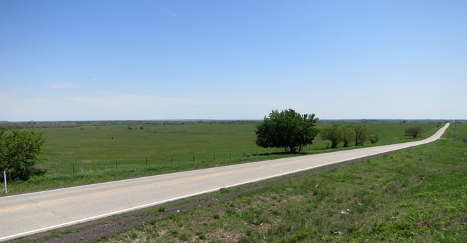
Kansas, Oklahoma. A plausible explanation for the name is that this area was part of Kansas Indian Territory before it was Oklahoma Indian Territory, and afterwards people continued to call it Kansas. In any event, it must be confusing to the post office. That thing in the middle of the road? That's the old community water well; now closed over.
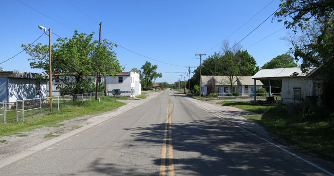
Watts, Oklahoma. With all the nearby level land, why did they choose to build this town on the side of a rather steep hill? I guess it doesn't matter now, as there are not very many people living here.
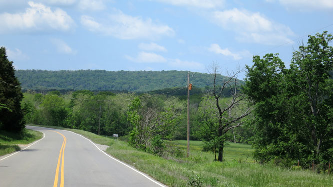
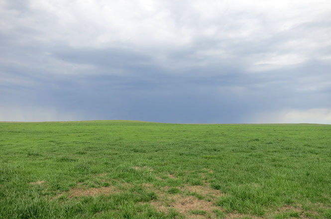
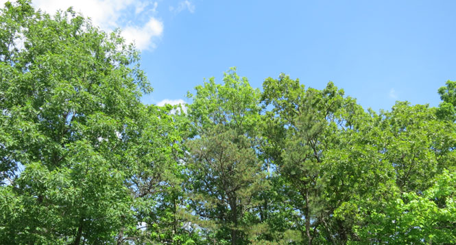
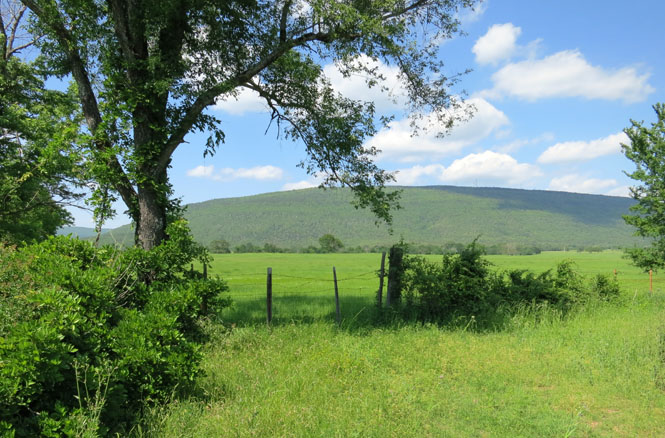
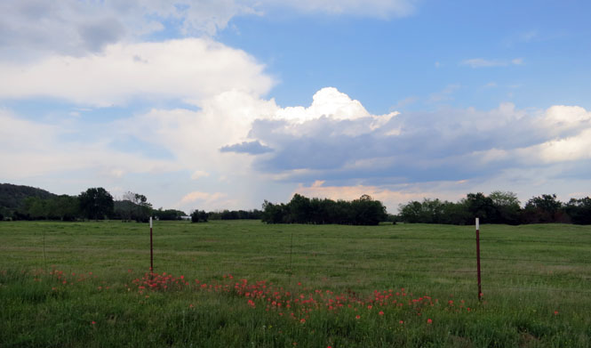
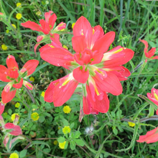
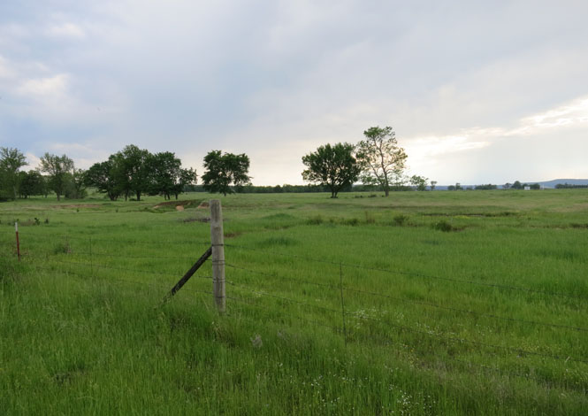
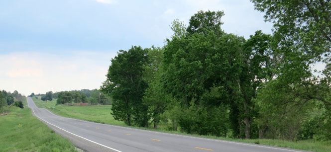
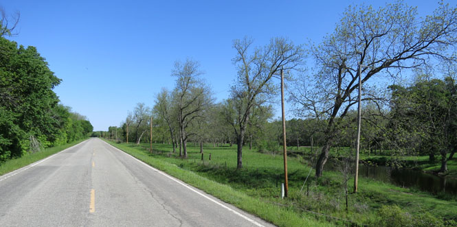
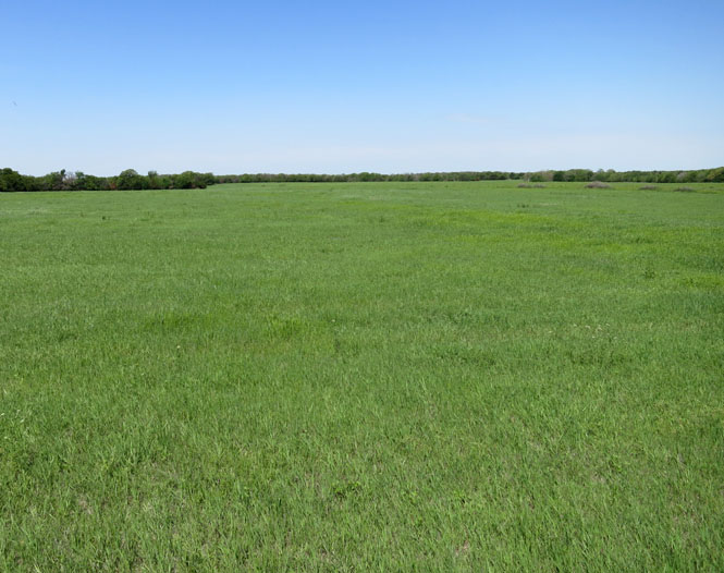
This is a perfect time to ride through eastern Oklahoma. The intensity of green is amazing.
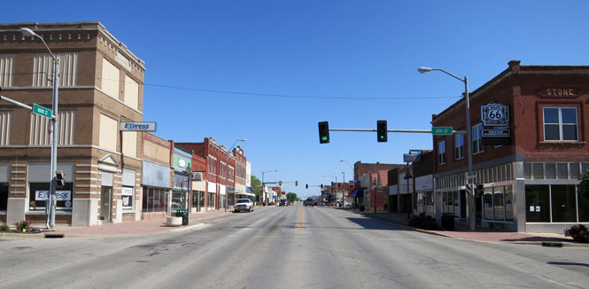
Sallisaw, Oklahoma.
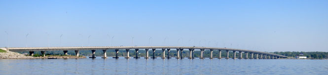
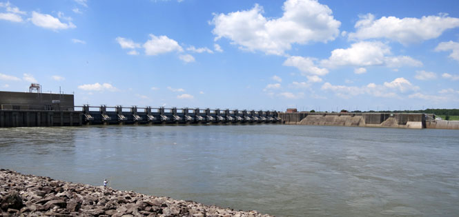
The Arkansas River is navigable all the way to Tulsa thanks to the McClelland-Kerr Locks and Dams. There are seventeen of these between the Mississippi River and Tulsa.
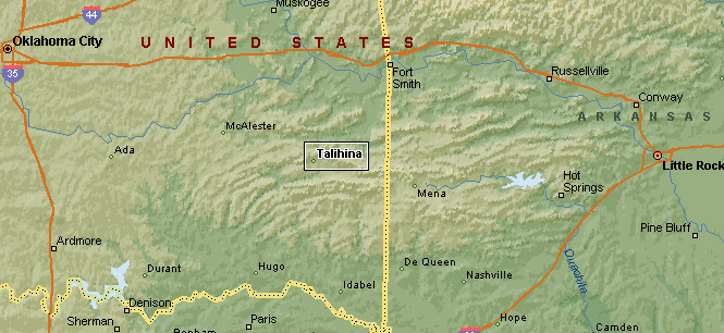
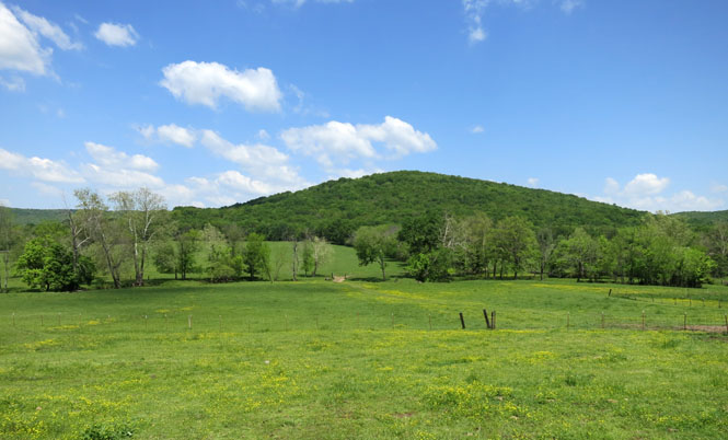
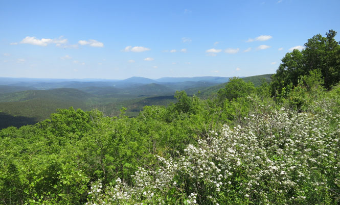
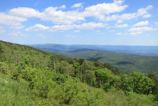
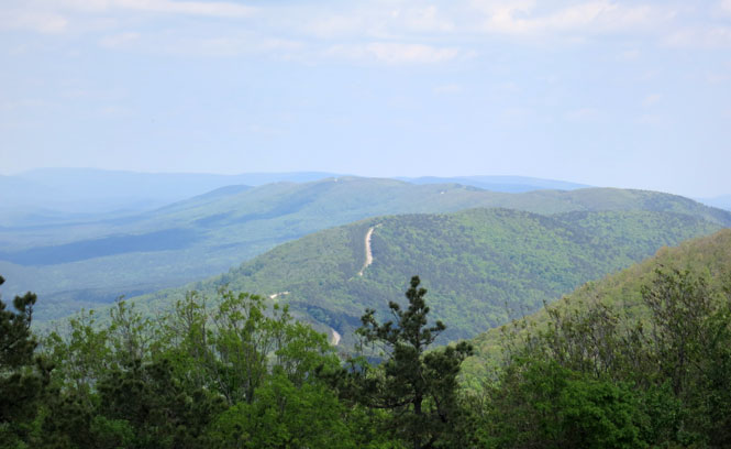
The Talimena Scenic Drive connects Talihina, Oklahoma and Mena, Arkansas. It runs along the ridgeline of the Winding Stair Mountains, which are part of the Ouachita Mountains.
The grades are as steep as 13%, so you might be looking at the back of a slow-moving motorhome. On this day, however, the road was virtually all mine.
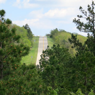
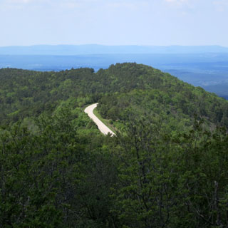
There are frequent pull-over places, and as the road runs the ridge, there are spectacular views to the north and the south.
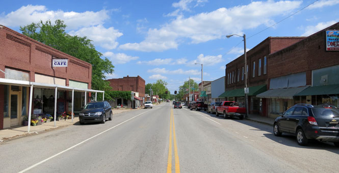
Talihina, Oklahoma was founded when the Frisco railroad came through the Choctaw Nation.
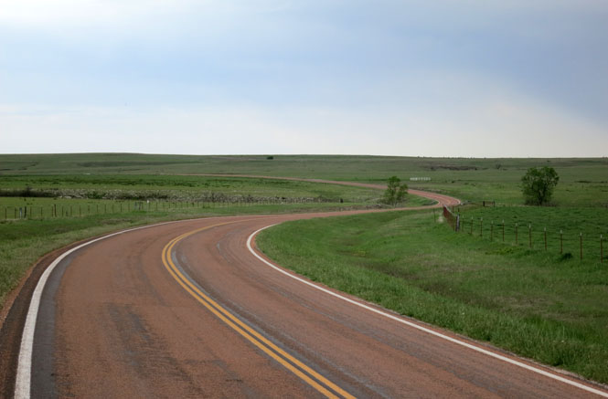
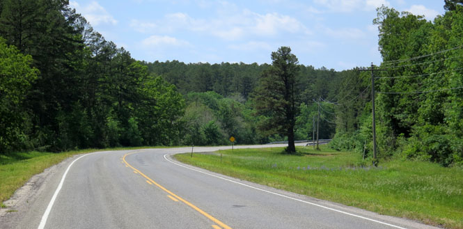
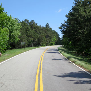
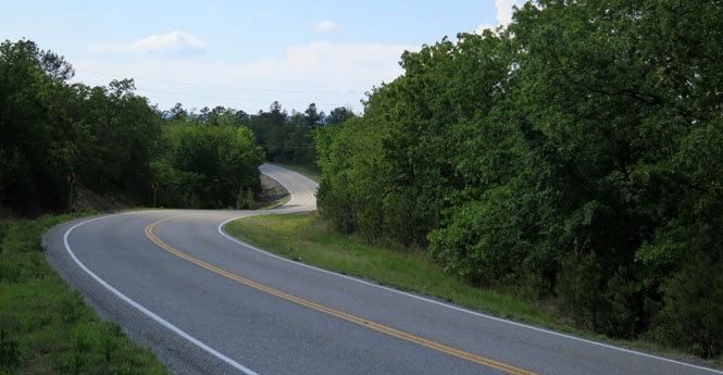
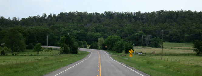
Oklahoma roads are not all dead straight along the section lines.
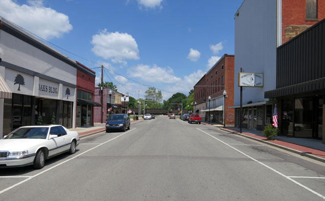
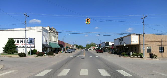
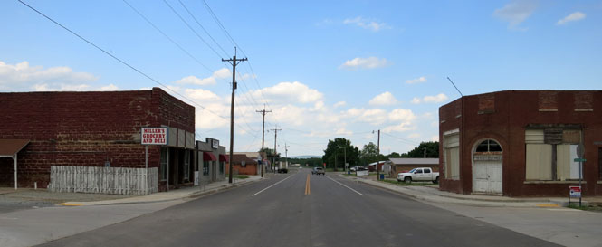
Wilburton, Oklahoma
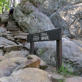
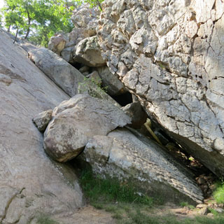
Robbers Cave State Park seems to have been the hideout for all sorts of famous people: Belle Starr, Jesse James, the Dalton Gang... It's likely none of that is true, but it's a good story.
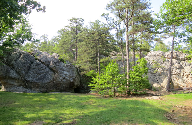
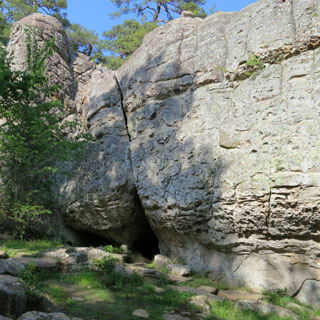
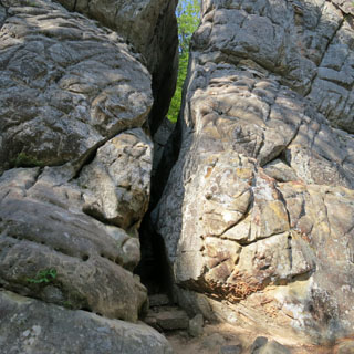
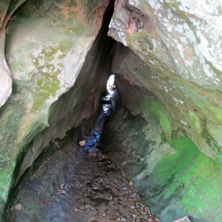
The rocks are huge. Notice the steps in the rock cleft below. You can walk through this.
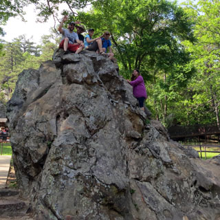
I did not go through this particular opening. Plenty did. Nor did I climb this particular rock, as this group of people has just done.
Kinta, Oklahoma. The word "kinta" means beaver in Choctaw.
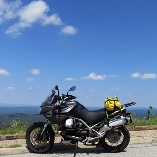
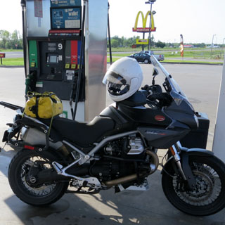
Still early in its life, the Guzzi Stelvio is giving me about 39 mpg with each tankful. At 8.5 gallons, that's pretty good range for a motorcycle.

Beggs, Oklahoma. C. H. Beggs was the president of the Frisco Railroad. Naming towns in Oklahoma seems to have been a casual thing.
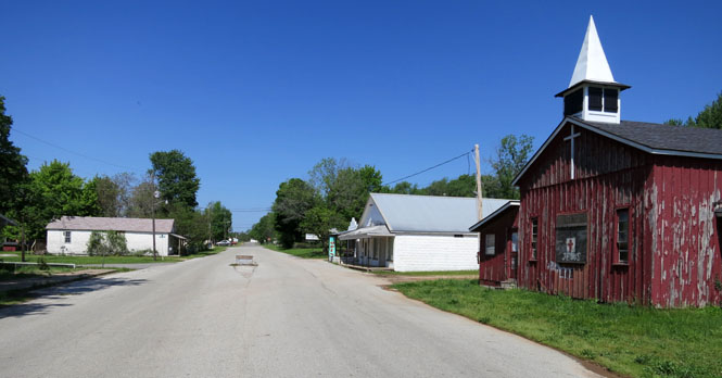
Slick, Oklahoma. Thomas Slick first found oil in the area. Apparently the town once had five thousand people; but, these days, I doubt they could find a hundred.
Bristow, Oklahoma.
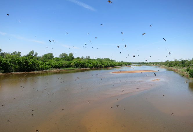
The Cimarron River and lots and lots of swallows. They were so thick, that I kept ducking to avoid being hit by them. I never was. I suspect they would never run into me, regardless of my maneuvers to avoid them.
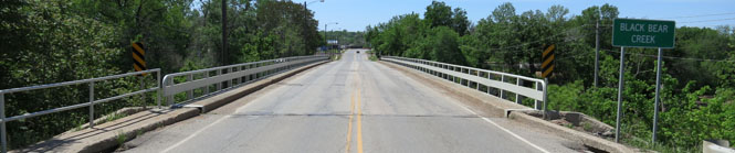
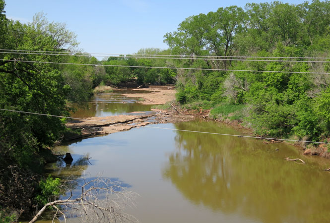
Black Bear Creek runs just north of the town of Pawnee.
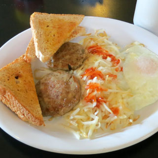
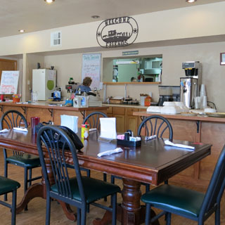
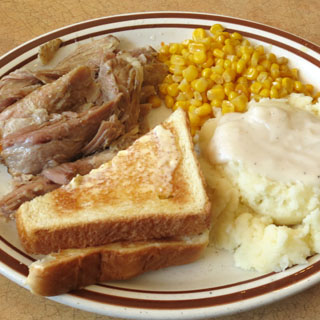
Lunch at the Ralston Cafe in Ralston, Oklahoma.
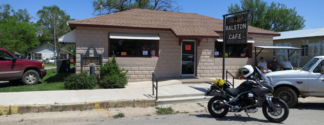
Soon after I arrived, the place filled up.
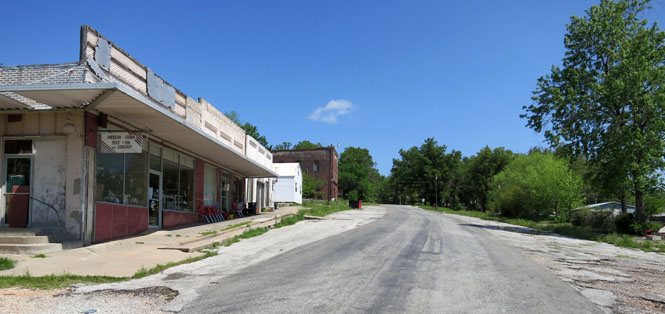
Shidler, Oklahoma. Once an oil boomtown with a population in the thousands, now you can stand in the middle of the road without much worry.
Kansas