July 8, 2016

Chaco Canyon was the center of a wide-ranging network of communities that were connected by roads intended to be much more than simple trails. Within the canyon, construction of the large buildings began in the mid-800s. Over the next 300 years the complexes became quite large and rather elaborate--the major buildings were as high as four stories and were oriented along north-south lines.
But, by 1200, it was abandoned and the people dispersed. DNA testing has connected existing tribes of today to the people of the Chaco Culture, but it's fair to say that Chaco was distinct.
Why did they leave? The usual reasons; it seems that there was an extended severe drought that made staying untenable. They had no choice. Or as the woman in the video said: clouds move on and people must move on as well.
Over the centuries, much of the structures were buried in sand and dirt. They were uncovered in the late 1800s. Rampant looting of artifacts and archeology that was anything but scientific eventually led to this area being declared a National Monument in 1907.
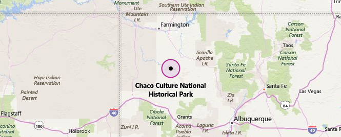
 New Mexico
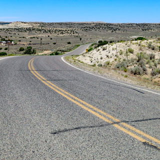
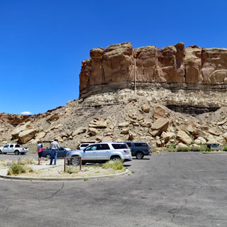
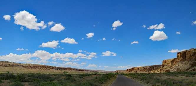
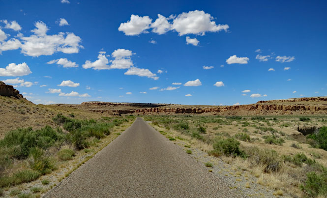
There are a couple of ways into the park; neither of them is especially good. But, the north entrance is the better. Aim for Nageezi on US-550, and turn south on CR-7900 and follow the signs to the park.
CR-7900 is paved, and you might believe it'll be this nice all the way. It isn't.
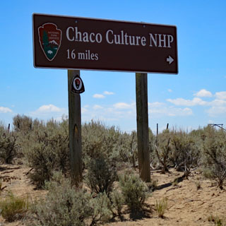
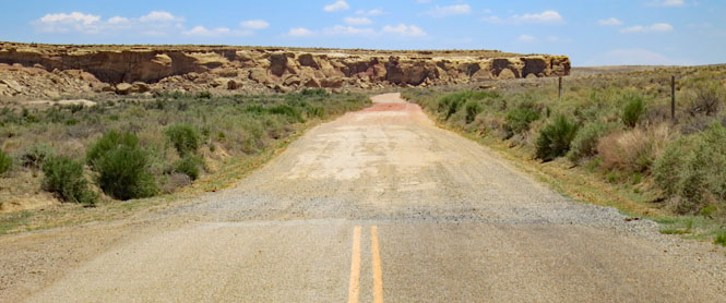
At the turnoff, the road turns to gravel. It's not too bad.
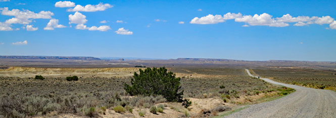
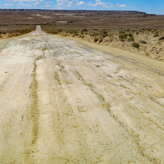
At the county line, the fairly good gravel road becomes a horrid dirt road. It has some of the most severe wash-boarding I've ever seen (and felt). Rough is not a harsh enough word (I'm sure plenty of cars have turned around).
There's a crossing of a dry wash, which is easy enough (the crossing itself is concrete), but the entry and exit has sections of fairly deep sand that you'll want to avoid. If it has rained recently, I might reconsider.
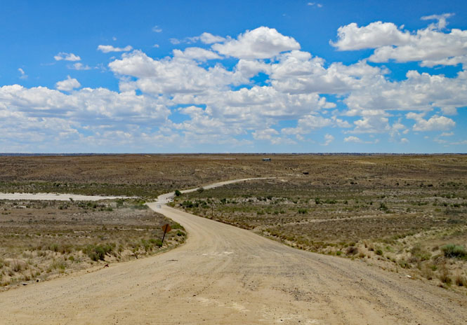
Eventually, you'll reach the park and good pavement. There's no point complaining to the rangers about the road outside the park. it's not their road, and besides, there's no money.
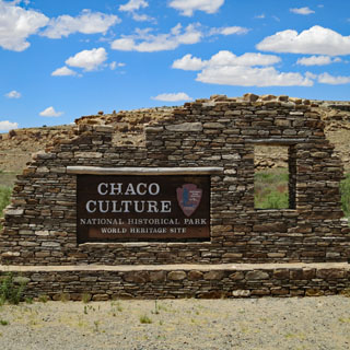
 Chaco Culture National
Historical Park
Chaco Culture National
Historical Park
Visitor Center at Una Vida.
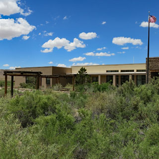
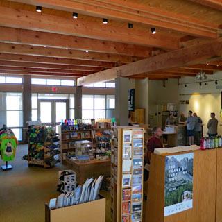
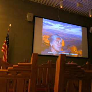
There's a good gift shop, helpful rangers (as they always are), and a fair-sized auditorium where you can watch a film that introduces the park.
But, where are the expected exhibits?
Currently, the exhibit in Chaco Canyon has been dismantled as the visitor
center is being rebuilt. Planning for a new exhibit has begun. Artifacts
from the museum collection can be seen in the park's web exhibit and in
Albuquerque at the University of New Mexico Maxwell Museum of Anthropology
exhibit, People of the Southwest.
--NPS website
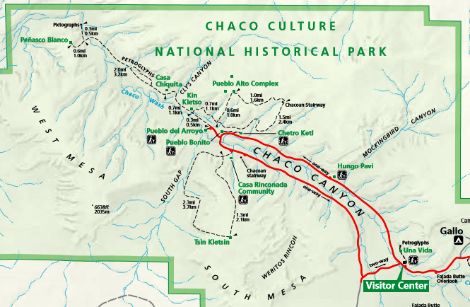
The visitor center is at the south end of the canyon. There's a one-way road that runs north and circles counter-clockwise around Chaco Wash.
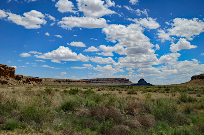
Looking northwest from the visitor center.
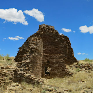
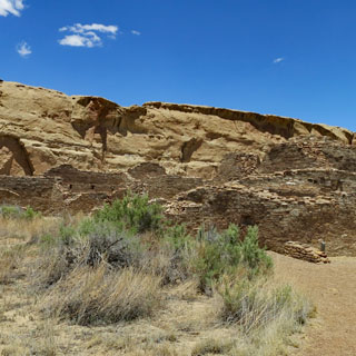
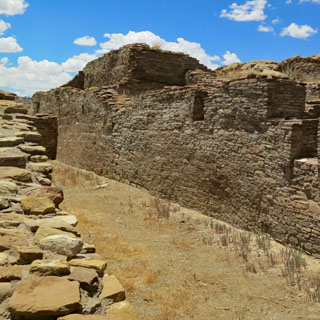
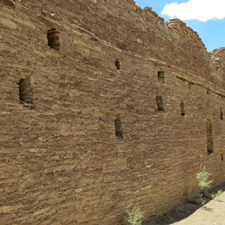
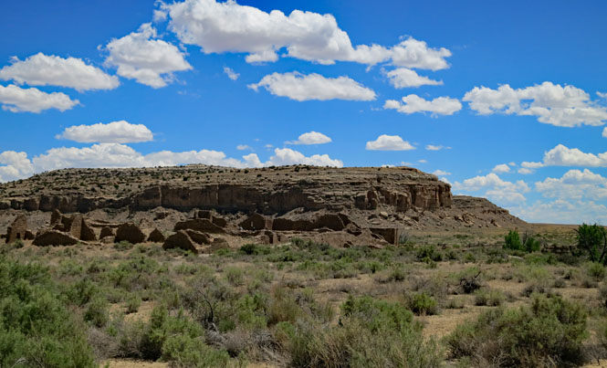
Hungo Pavi.
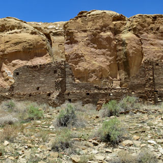
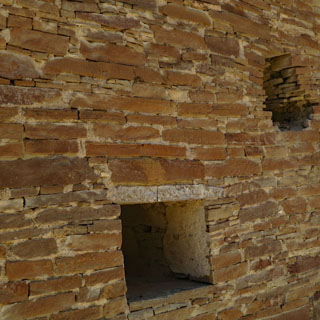
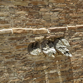
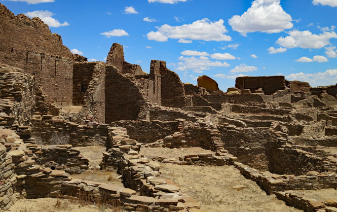
I was impressed by the stone work. Typically, the walls are not made of large, dressed blocks of stone, but instead fairly thin, flat pieces are used. The wood beams are original, and have been found to come from a Ponderosa Pine forest, sixty miles from here.
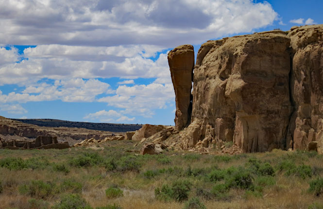
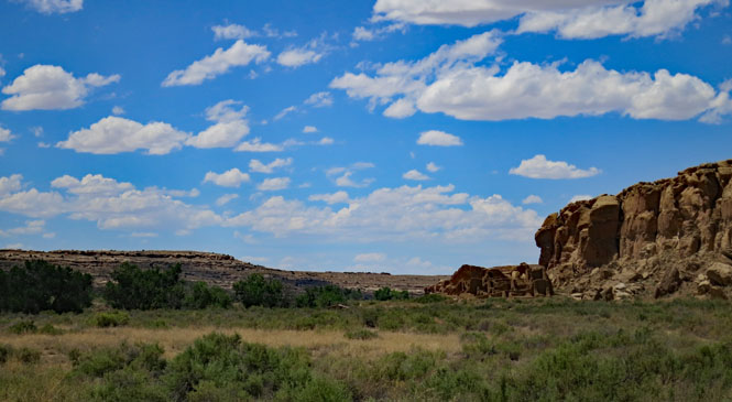
That's Fajada Butte in the distance.
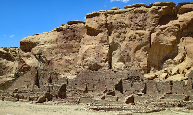
Chetro Ketl
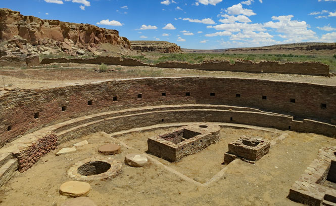
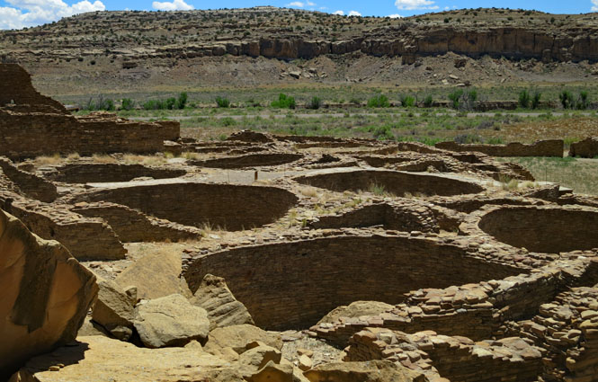
One of the Great Kivas (there are several). This would have been covered by a wood roof.
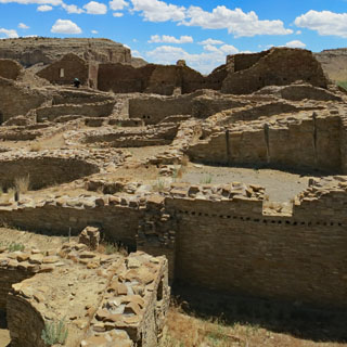
Many rooms, but few entrances.
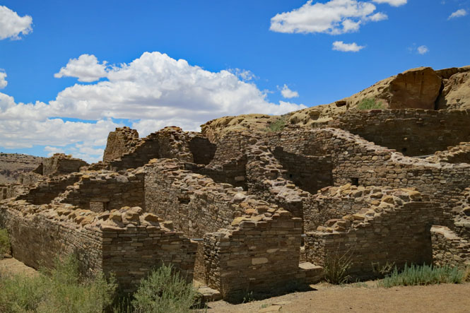
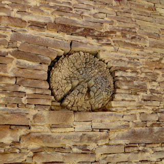
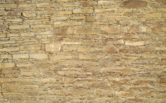
Layer after layer. Larger stones separated by smaller stones. Up close, it looks haphazard, but from a distance you can see the pattern.
From Chetro Ketl looking towards Pueblo Bonito. These large building complexes were in sight of each other.
Pueblo Bonito. This is the largest. It reached at least four stories and had over 600 rooms and 40 kivas. I don't know that you could call this a town--it isn't. It's all one interconnected building. Was it a church (of a sort) or community center? Probably something of both. I'm reminded of the monasteries of medieval Europe.
An artist's impression of what Pueblo Bonito would have looked like at its peak (I'm not too sure about that lone pine). It's an almost incomprehensibly large building--particularly considering that it existed in 1100.
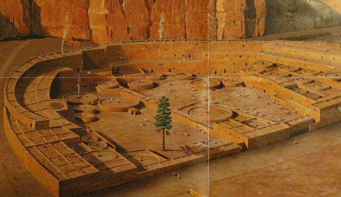
-reference Chaco Culture brochure, NPS
Crops were grown in and around the valley and some of the creeks were dammed to provide water. Yes, it was abandoned, but it did apparently work for 300 years.
Kin Kietso. You need a hiking permit to walk to this one (at the base of the cliff).
Pueblo del Arroyo.
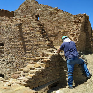
Maintenance--it seems to be mainly top-dressing to help prevent erosion.
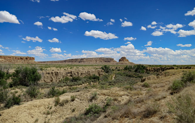
A view of Chaco Wash. It's probably always dry except when it isn't--and, I'd expect occasionally it has quite a bit of water.
Driving the one-way road (enjoy the smoothness of it).
There's no doubt where the park boundary is. I'm not looking forward to returning on this road.
What an amazing (and unexpected) place.