


August, 2016

Sunday |
Monday |
Tuesday |
Wednesday |
Thursday |
Friday |
Saturday |
| 31 Jul | 1 Aug | 2 Wichita Chicago Newark |
3 Milano Lecco |
4 Lecco Colico |
5 Mandello Schaan |
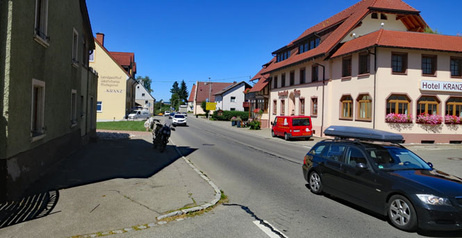
6 Ebeleben |
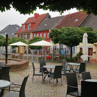
| 7 Schleswig |
8 Hirtshals |
9 ferry |
10 ferry |
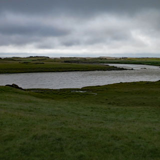
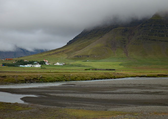
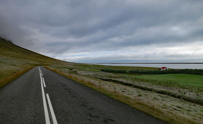
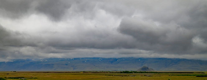
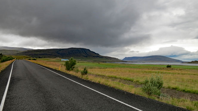
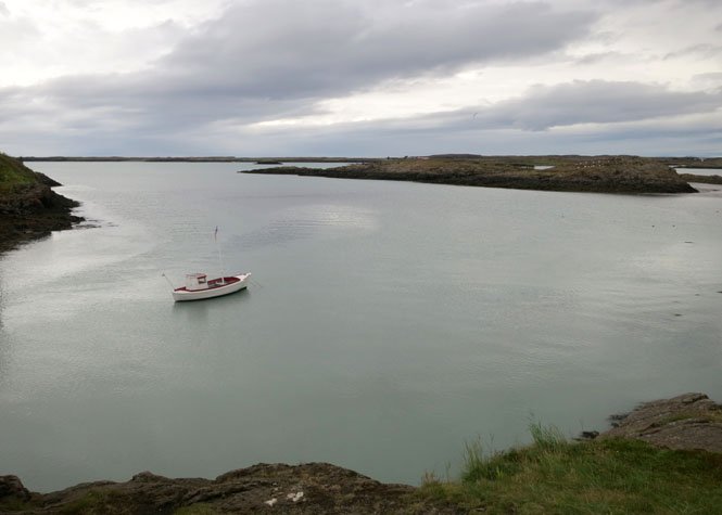
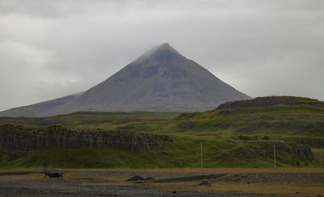
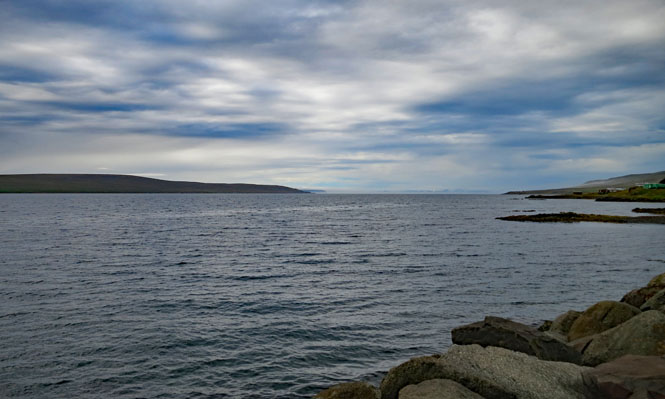
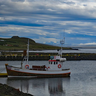
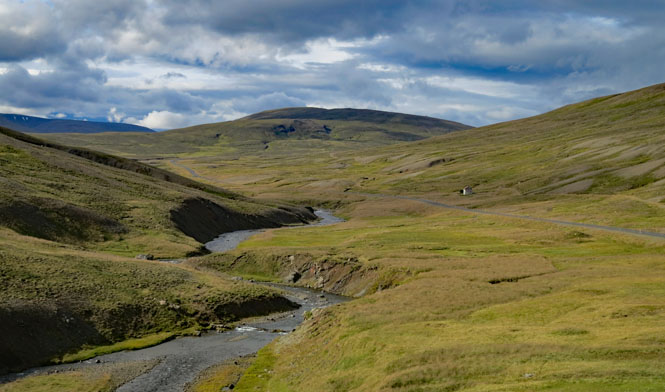
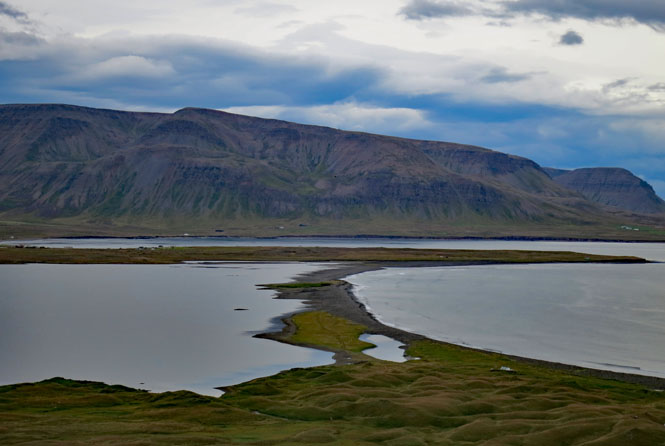
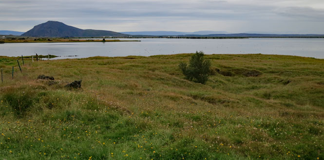
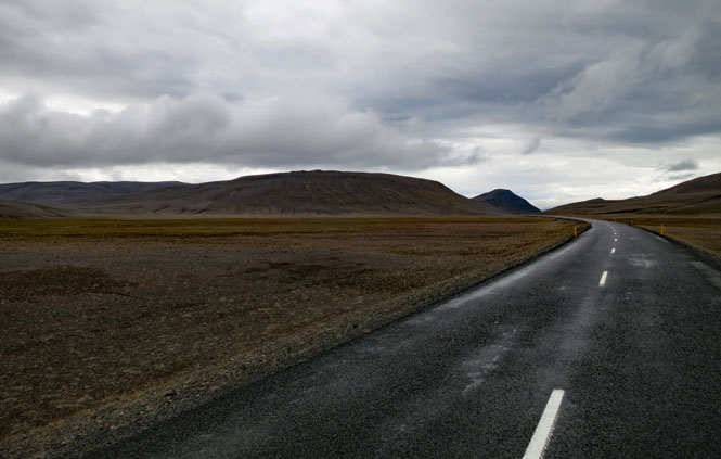
11 Höfn |
12 Kirkjubæjarkr |
13 Hvolsvöllur |
| 14 Reykjavik |
15 Hvammstangi |
16 Laugar |
17 Seyðisfjörður |
18 ferry |
19 ferry |
20 Viborg |
| 21 Verden |
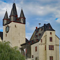
22 Diez |
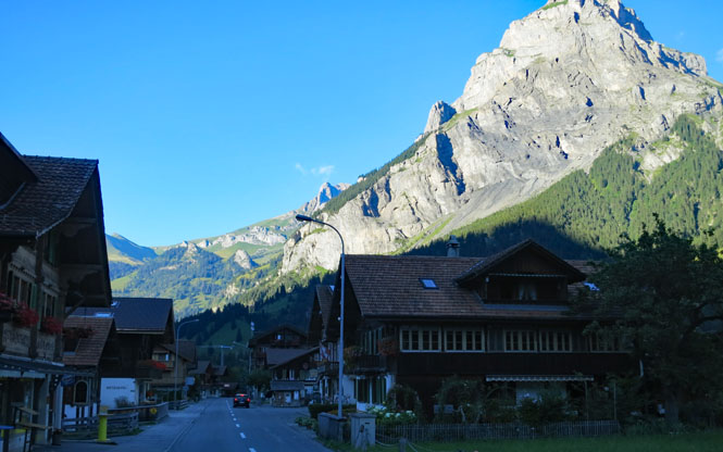
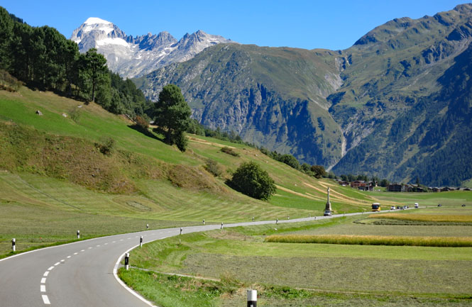
23 Kandersteg |
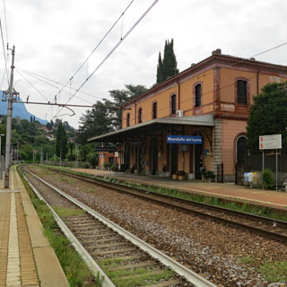
24 Mandello |
25 Milano |
26 Newark Chicago Wichita |
27 |
 Europe Motorcycle Trip #15
Several years back, I wondered what it would take to ride the roads of Iceland. The answer was "more time than I had" and I put the notion aside. This year, it was time to revisit that question. If I need more time; I'll take more time.
This will be a ride of Iceland. I'd first planned to circle the island-country mostly along the ring road and figure the rest out, along the way. But, after checking for an available room in Seyðisfjørður (where the Denmark ferry lands) and seeing how limited the choice is, I realized that I'd prudently need to do more planning for this trip than I've ever done.
I made advance reservations for every night around the island--flipping a mental coin to decide that I'd go clockwise after landing.
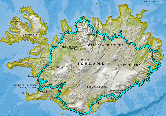
I'd have one week to get around Iceland (to allow for the once-per-week ferry schedule).
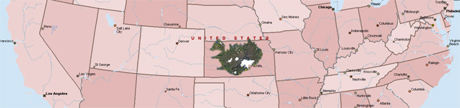
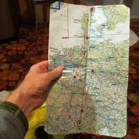
It's useful to have some idea of how the distances compare with something I'm familiar with. Below is Iceland superimposed on Kansas. Seven days to get around? That doesn't look so difficult even accounting for possible poor roads and bad weather. Missing the return ferry would really be a nuisance.
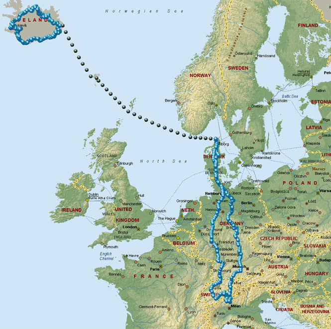
Meanwhile, I'll have several days riding from Mandello del Lario, Italy up to Denmark (and the ferry) and then back that I didn't need to make any reservations or even any plans for. That part of the ride will be easy enough.
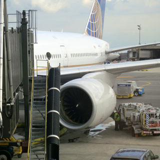
The flights to Milano are almost always the same.
 New Jersey
I don't have any carryon luggage, so there's no reason to stand in the line to ensure there's space in the overhead bin. We're all leaving at the same time...
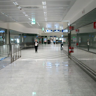
Italy
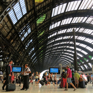
My path to passport control (below, left) looks clear. Unfortunately, the baggage took longer than normal to reach the carousal, so I would probably be missing my best train connection in Milano. Oh, well. There is no customs check, so once you have your bags, you can sail on through.
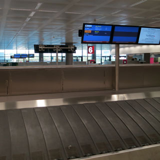
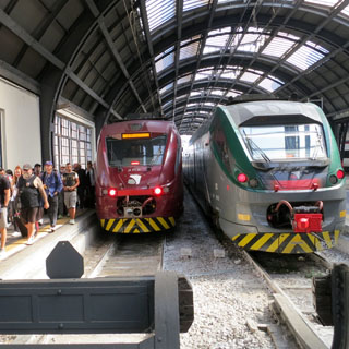
Malpensa Airport is a fair distance from Milano. That's the Malpensa Express (on the left) arriving at the Milano Centrale train station. I'll be catching the regional train to Lecco, but will need to wait a bit less than two hours for the next one. Three flights and then two trains makes for a long day.
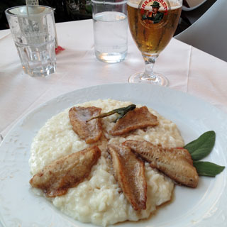
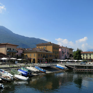
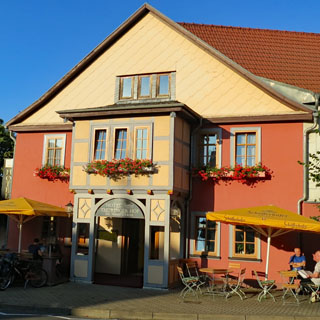
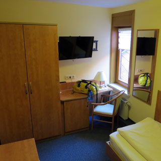
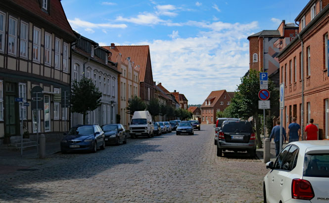
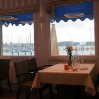
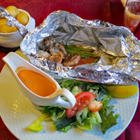
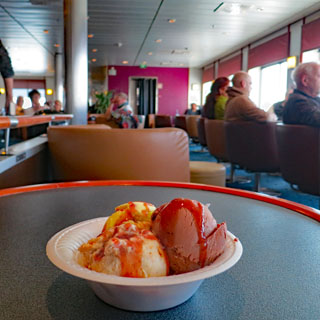
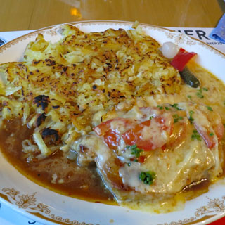
I arrive in Lecco and immediately after checking into the hotel (Buongiorno!), it's time for Risotto and Perch from Lake Como; the classic food from this part of Italy. It's become a tradition for me as I start a new trip and makes a nice ending to a long journey.
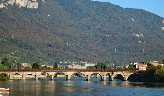
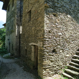
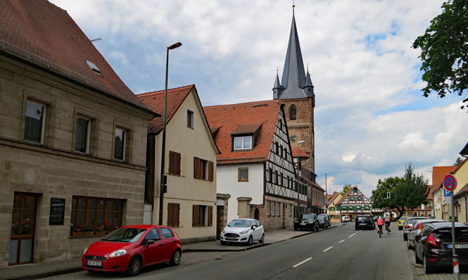
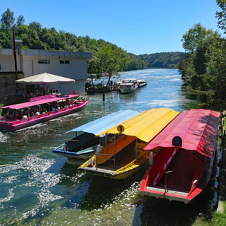
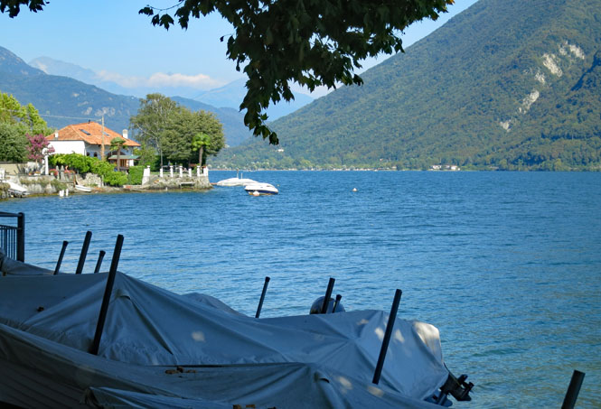
Lecco Italy is on the lowest end of the right-hand leg of Lake Como, where the Adda runs south towards the River Po. This is the Azzone Visconti Bridge (built in 1336).
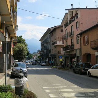
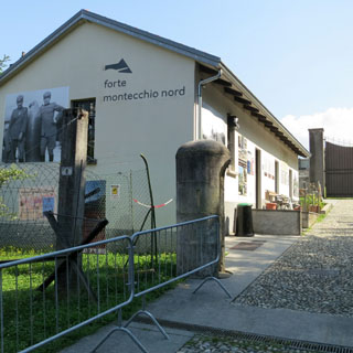
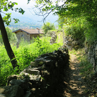
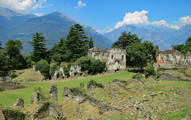
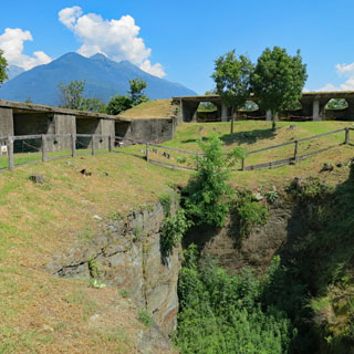
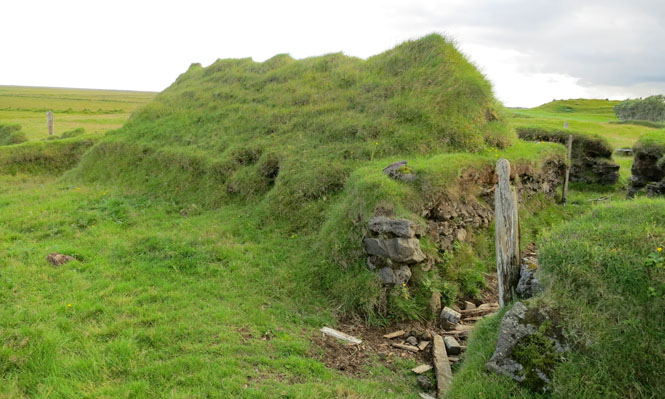
Colico is at the end of the top leg of Lake Como (the three legs are anchored by the towns of Colico, Lecco and Como). If you have plans to invade Italy from the north, you might be coming through Colico. Consequently this town has been fortified for centuries. I'll be visiting two of the historic nearby hilltop forts.
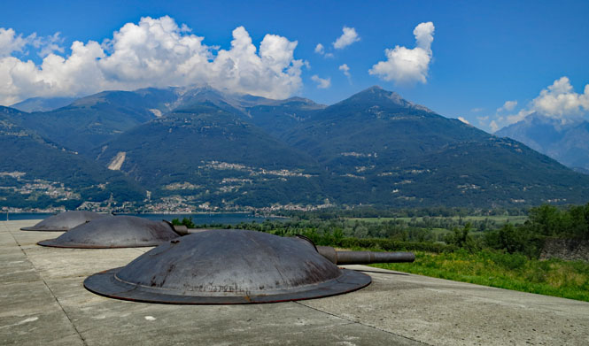
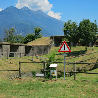
Fort Montecchio was built in 1911 as part of the overall continental buildup to the first world war. It's in a good position to control anybody coming into Italy from Spluga, Maloja or Stelvio passes (meaning the invaders would be coming through Switzerland). It remains probably the best preserved of any of the WW1 forts and still has its original guns in place.
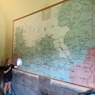
This is quite a fascinating wall map and gives a view of the region from a military perspective. Our tour guide had to be fairly proficient with English and German and French (and, of course, Italian).
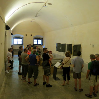
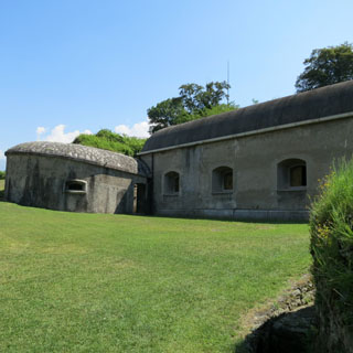
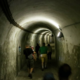
The guns are in one well-protected building while the ammunition and barracks are not far away (and are connected by tunnels).
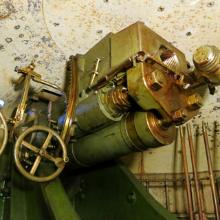
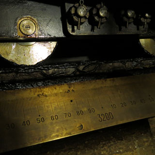
Looking up at one of the four guns (made in France for their navy). The entire dome rotates, and your position is confirmed by the brass scale, which runs all the way around. My guess is that if any invaders did come this way, they could probably have just moved rapidly and avoided too much trouble from these guns. The guns are not big and there's nothing automated or quick about aiming or firing.
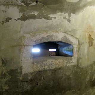
The view of three of the guns, looking towards the invaders coming down from Splügen Pass
If they're coming from Stelvio, you'll need to keep a sharp eye in this direction.
It's a fair walk from Fort Montecchio to Fort Fuentes (from one hilltop to another hilltop). The thing about these paths in Italy is that you're never far from being reminded that this same path was once used by Romans.
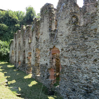
Fort Fuentes was built by Spain in 1603 to guard against invading Grisons from Switzerland (that country not being nearly so peaceable as it is now). And, yes; Spain once controlled this part of Italy.
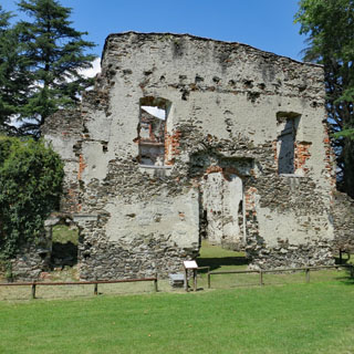
Over the years the fort saw many changes and some substantial new buildings. But, in 1796 Napoleon's army destroyed the place (evidently also at the request of those same Grisons) even though it was no longer a military facility.
At the same time that Fort Montecchio was built, this fort was also reinforced with eight guns. Those guns are gone, but the concrete enclosures still exist.
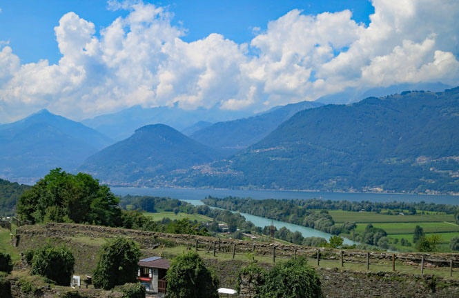
Looking towards Lake Como and the entry of River Adda into the lake.
World War 1 construction on the left (with a view of the hand-dug cistern for water storage). On the right is the remains of the Bishop's palace.
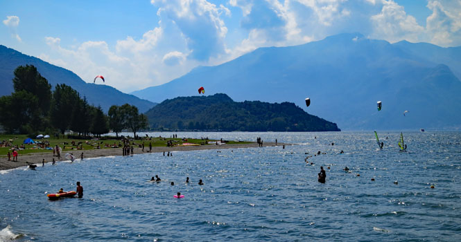
Walking past the public beach towards Colico. The wind is strong here, so you'll almost always see sail-boards.
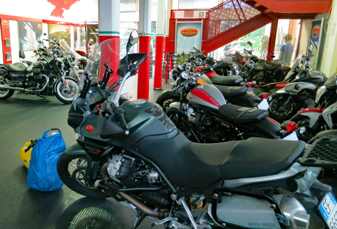
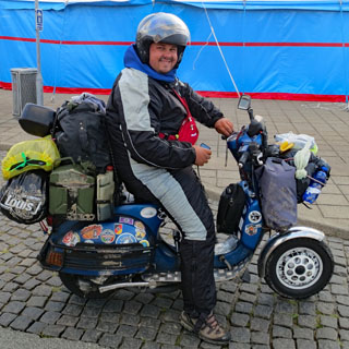
I've had a couple nights to adjust to the time zone; it's time to go riding.
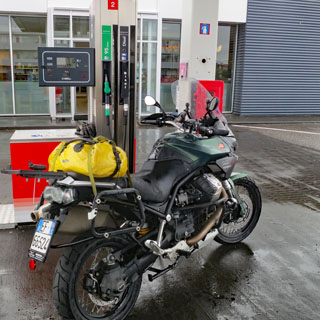
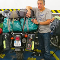
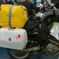
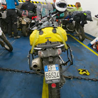
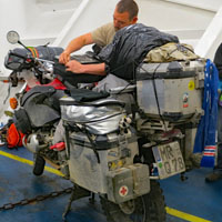
The blue bag contains my helmet, boots and a small air compressor. All of that stays in Mandello. The yellow duffle-bag is what I brought (as checked-baggage). It contains another (smaller) yellow duffle-bag, my riding suit, tools and all the other stuff I'll need while riding.
I'll dump both bags on the floor and repack into the smaller duffle-bag, which is then strapped to the passenger seat (no bungee cords are used). Nothing is on the rear rack except my Spot tracking device (which generated the tracks you see in the top map). I don't use saddle-bags. The air compressor fits into the tool tray under the seat, and I strap the tools I need to the handlebars. The blue bag and larger duffle-bag will stay behind when I ride north.
Agostini srl di Mandello del Lario
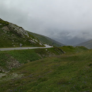
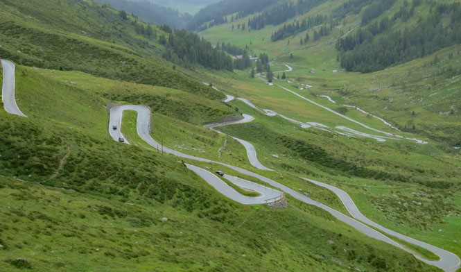
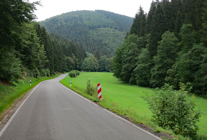
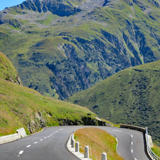
I'd been over Splügen Pass once before, but it has been several years.

This is one crazy road. Zigs and zags and hairpin turns inside a tunnel. Nuts!
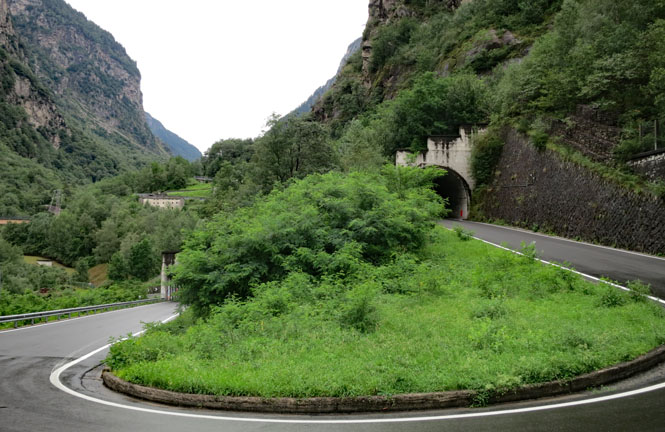
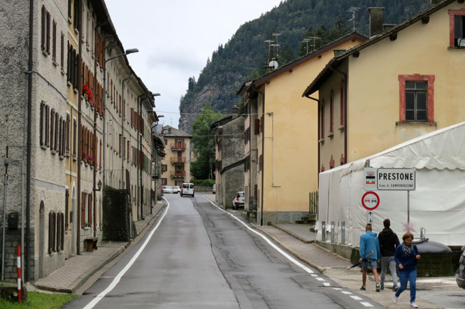
For all the difficulty of the road, you have to be amazed that a town as large as Prestone is here. I don't imagine the town people just "pop down to Colica" to buy some detergent.
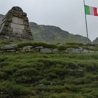
It is cold, wet and very windy at the top. The Italian flag is blowing straight out.
Switzerland
The Swiss side of Splügen is comparatively ordinary; a looping ribbon of road that isn't really so crazy as what the Italians had to do.
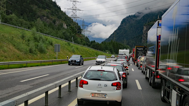
Why are we stopped? I never did figure this one out. Best I can tell, there were just too many cars for the tunnel that narrowed down to two lanes. Creep, creep, creep. Add a little rain and it's less fun.
Liechtenstein
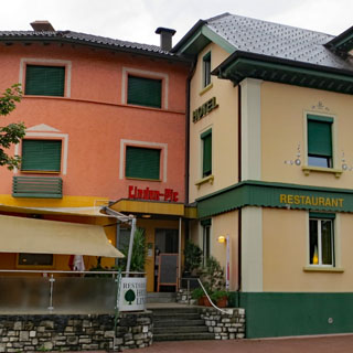
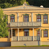
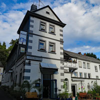
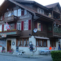
Schaan, Liechtenstein. I've been through here a number of times and knew of this hotel. It's a pretty good one, with a nice restaurant.
 Austria
Lauterach, Austria. Through a quirk of political geography, the eastern bit of Lake Constance is in Austria, so you cannot drive from Switzerland to Germany without going through Austria if you're on the east side of the lake.
Germany
I didn't need to rush too hard through all of Europe to get to Denmark, but I didn't have the option of meandering through the back roads the entire way, either. So, I split the difference: a few hours of autobahn with pleasant roads on occasion.
Klosterlechfeld, Germany exists because of the church (and monastery).
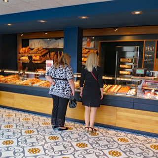
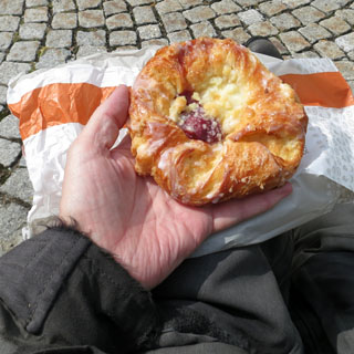
Germany really does bakeries well. I don't know the name of what I bought, but it's very good.
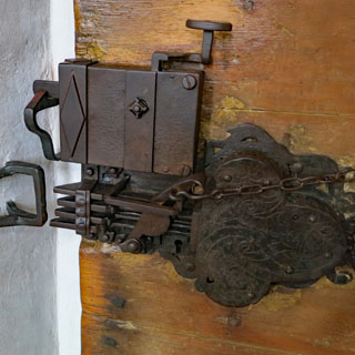
The lock and latch to the front door of the church is an interesting thing.
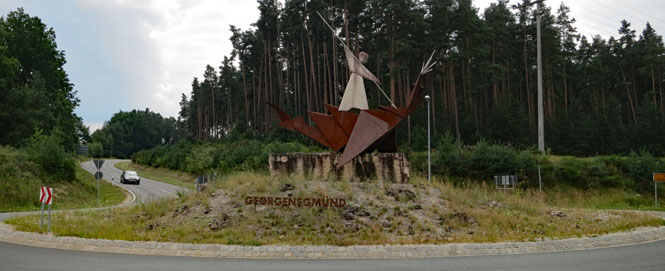
It is amazing how widespread St. George is. This is the town of Georgensgmund, which has an appropriate sculpture of St. George and his poor, perpetually-being-slayed dragon in the middle of their roundabout.
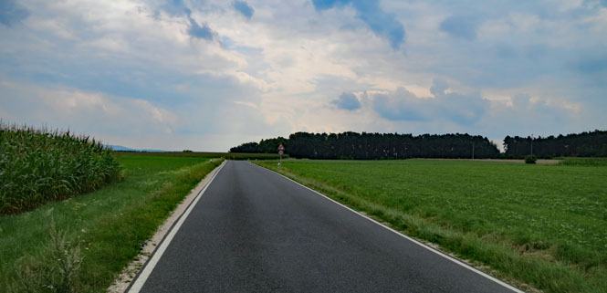
I like the roads that have good pavement, but are too narrow to support a centerline stripe (Germany has standards for this sort of thing). They get you someplace, but there's nothing but local traffic.
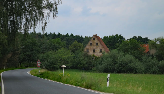
That's a stone house. Remarkable.
Frauenaurach.
Mursbach.
The road I am not on. Even when you wouldn't think the valley was so deep as to require a viaduct, there likely will be a viaduct if it's part of the autobahn system.
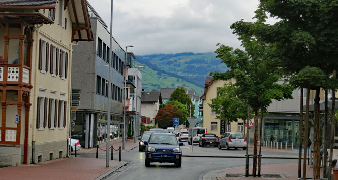
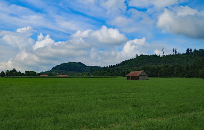
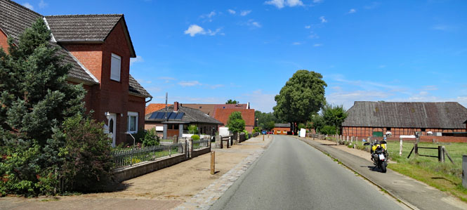
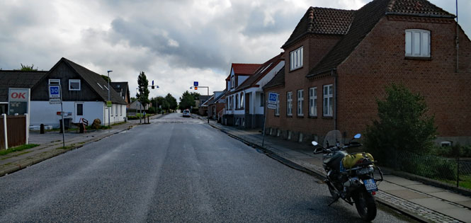
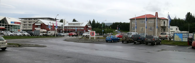
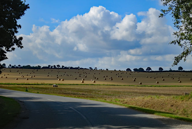
Ebeleben. I'm on my second detour, I believe. Often when construction is being done, the entire road will be closed and you'll need to follow the detour signs (if they exist), which might put you tens of miles from your route. It's also possible that this detour will also have a section closed, so you'll be running quite far from where you thought you were going. Such is how I arrived at Ebeleben for the night.
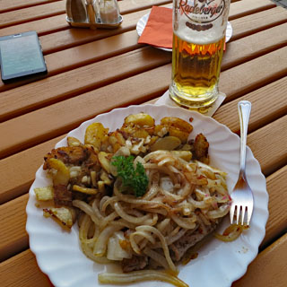
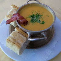
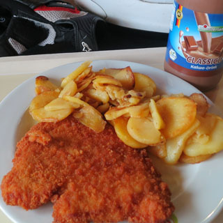
I'm not sure what is being prohibited; playing in the street, perhaps? Under those fried unions and chopped potatoes is a nice piece of pork. The waitress (who is also the hotel landlady) recommended it to me.
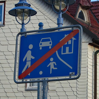
Update: the red slash through the sign means that the special traffic zone has ended.
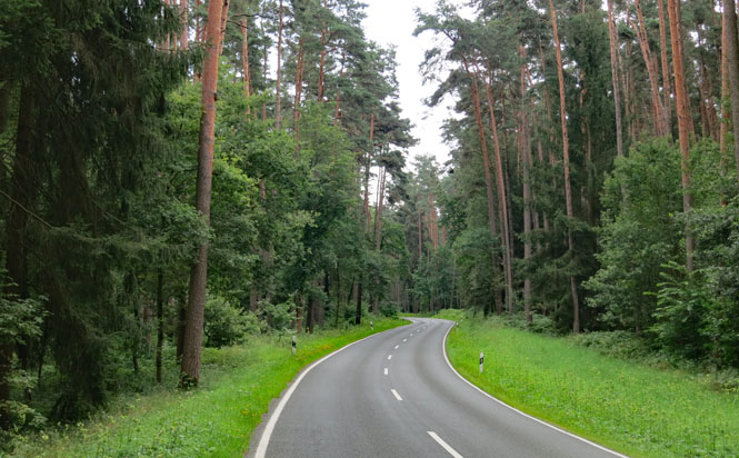
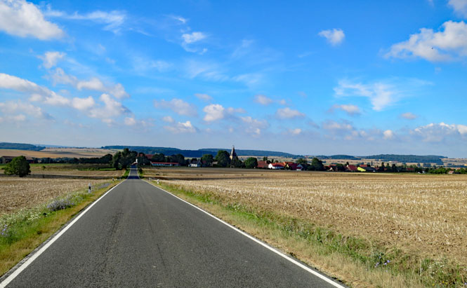
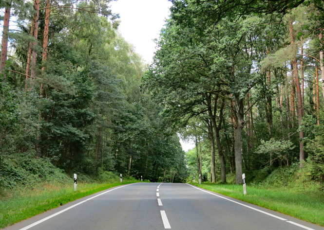
Toba. I'm riding north, back on one of the good roads.
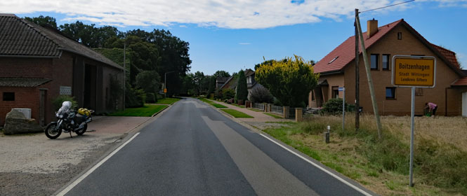
Boitzenhgen. I'm heading north towards the Elba, but still curving far enough east to avoid the congestion of Hamburg. There are not many crossings of that river, so you need to pay attention to the map.
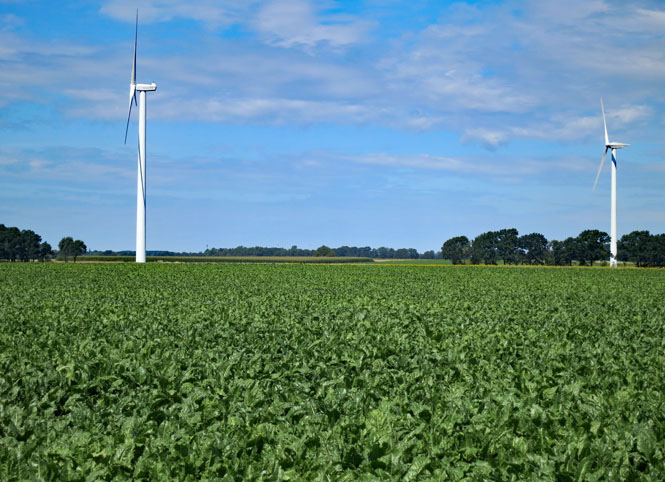
These windmills are...
...far more attractive than these wind turbines.
Bad Bodenteich. Try to spot a car that is not a Volkswagen in any of these towns. You probably won't find a single one. I'm near Wolfsburg (the home of VW). Volkswagens are everywhere.
The River Elbe. There is another (much larger) ferry on the west side of Hamburg, but I've been on that one, and I've not been on this one.
When you cross the river, you're in what was once East Germany.
Boizenburg.
Dalldorf.
I was impressed by this barn (and the relaxing cattle).

Neumunster. Some of these cities take an effort to get through cleanly. When you avoid the larger highways, you sometimes have to contend with the occasional congested city that gets in the way. Such was Neumunster.
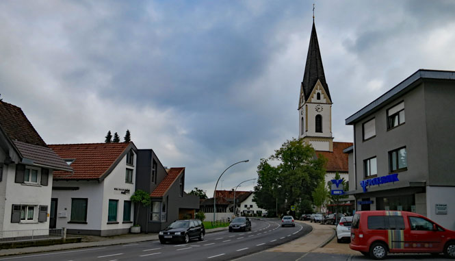
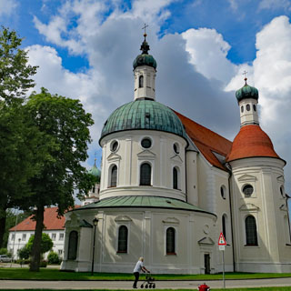
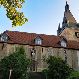
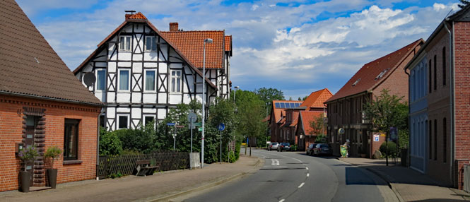
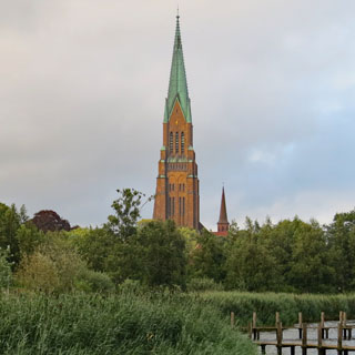
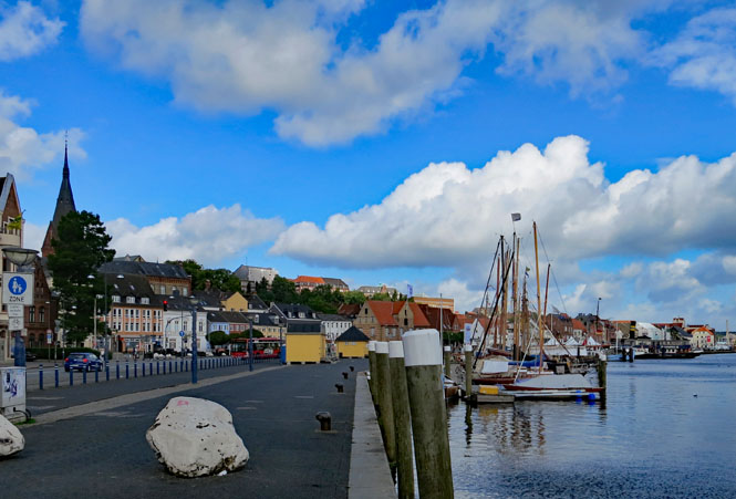
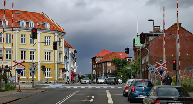
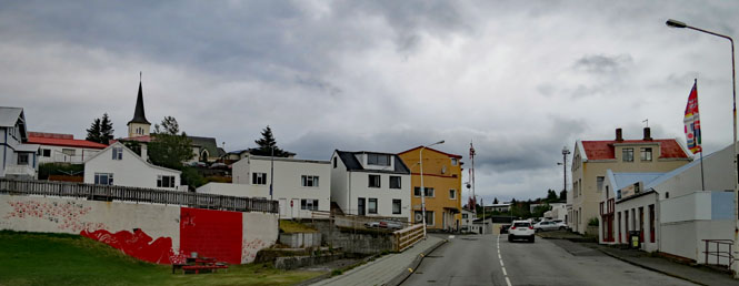
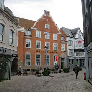
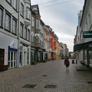
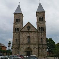
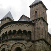
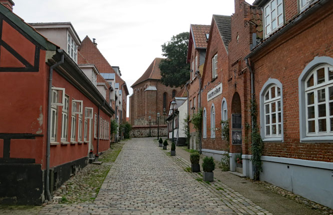
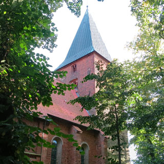
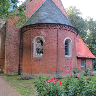
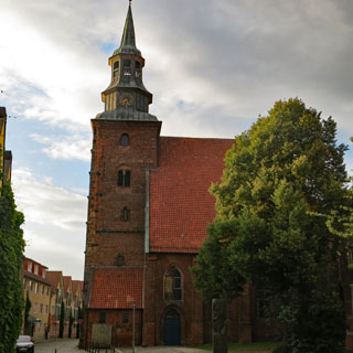
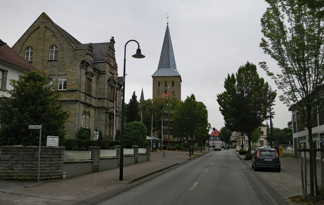
Schleswig. Today I've made pretty good progress, and as it's raining, I think I'll stop just before the Denmark border (even though Schleswig was once Danish).
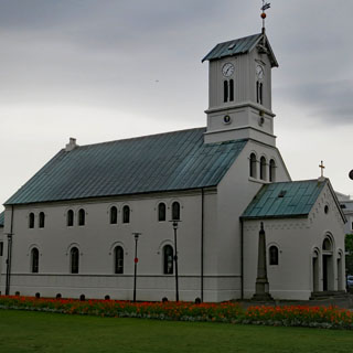
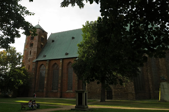
That's the Schleswig Cathedral (Lutheran). Construction began in 1134. Buried within is the body of Frederick, King of Denmark, the Vends and the Goths (died 1533).
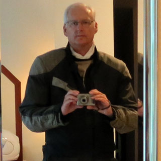
Being a mirror image of your photographer--whenever I'm riding, this is how I'm dressed. Including the riding suit, I've got on five layers. In the picture, I'm not wearing the polartech pull-over or the electric vest, which would bring the layers to seven (six layers is the most I ever needed. I didn't ever ride with the polartech pull-over although I used it for walking around).
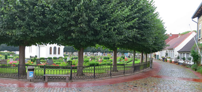
It's curious that the center of town (where you might expect to see a market square) is a cemetery.
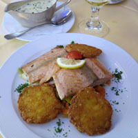
Fish (and some form of pea soup) is on the menu.
It's always nice when the rain stops in the evening.
Flensburg. The last government of the German Third Reich--led by Admiral Dönitz--was located here (ending May 23, 1945 with the surrender).
Denmark
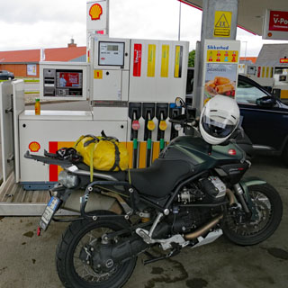
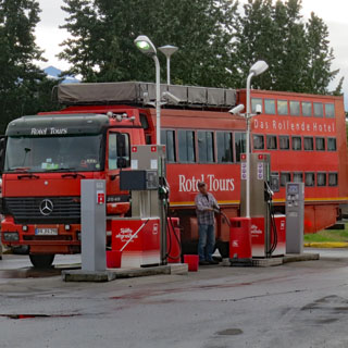
This was the second service station--none will accept my American cards at the self-service pumps and I've got to find one with an attendant on a Sunday. Bother.
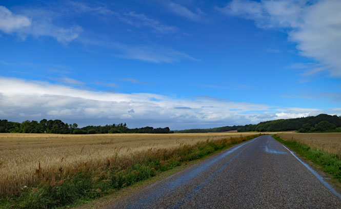
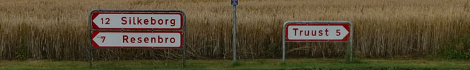
Silkeborg. I am running through the center of the country, pretty well avoiding the freeway.
The rain is heavy when it's raining; but, when it stops, it's quite nice.
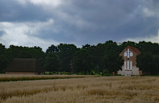
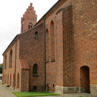
Tvilum Kirke. This is part of a monastery founded in thirteenth century.
Germany road signs are yellow. Denmark signs are red.
Farvang.
I don't really need fuel, but it's raining so hard that I think I'll stop for some road food, just the same. I've learned that even if it's raining so hard you cannot see, it won't last long.
Laurbjerg.
That church was built in the mid nineteen century even if it looks much older.
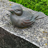
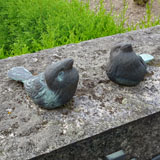
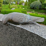
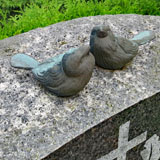
They've an interesting custom in this cemetery: small birds on the top of the headstones.
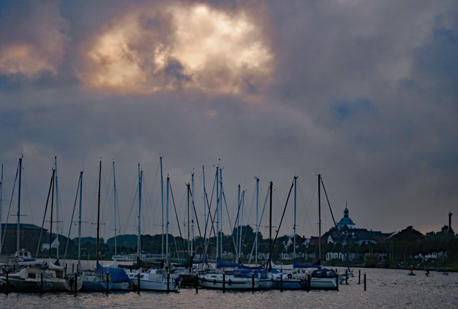
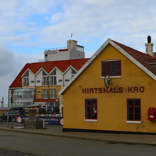
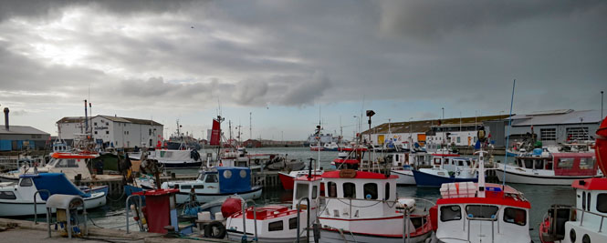
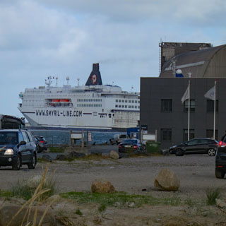
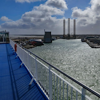
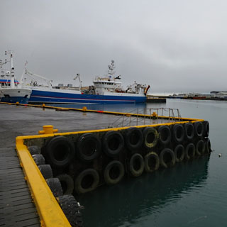
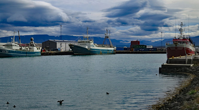
Hirtshals wasn't much until the harbor was enlarged to support ferry traffic to Norway and Sweden (and Iceland) after the war. It's at a strategic location, so you'll see large concrete gun positions slowly decaying into the sand.
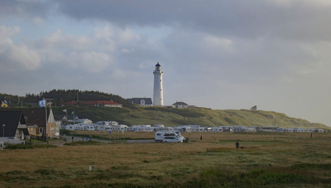
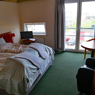
My hotel is close to the water and not far from the ferry terminal. I'll be leaving tomorrow morning.
I'll have fish to start with, and then I'll have the fish. Tak.
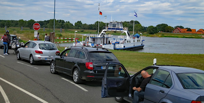
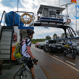
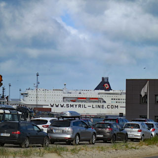
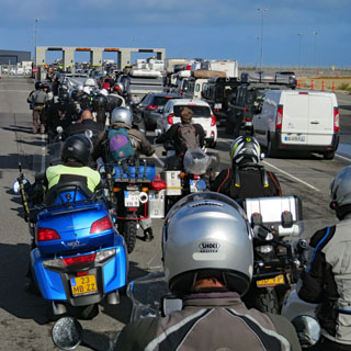
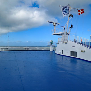
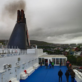
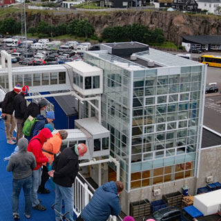
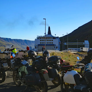
Compared with the Italian ferry I took earlier this summer to Spain, this ferry company is an amazing thing. They're organized, give clear instructions, are friendly and (most important) are efficient.
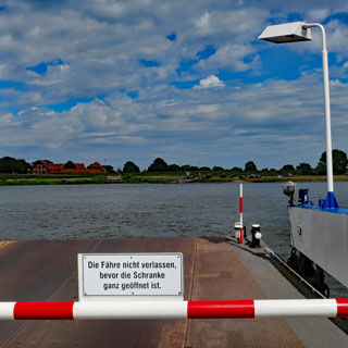
Cars and motorcycles are pre-assembled. When the ferry arrives, we'll go through the pre-check area and assemble in the appropriate lane. Some cars and motorcycles will be departing at the Faroe Islands, so it's important that they be loaded last.
The ferry has arrived, and does a nice turning maneuver before backing into the loading area.
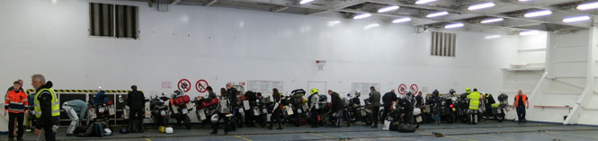
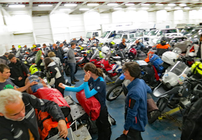
Motorcycles load first and are sent all the way to the forward bulkhead. Straps are provided, and we're admonished to "tie your bikes down, well."
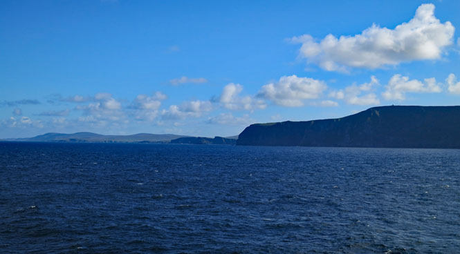
I watched this other ferry thread the needle into the harbor. After it has cleared, we'll be passing through that same opening and out into the North Sea.
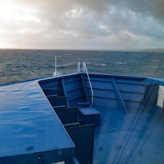
Looking back at Hirtshals and looking forward to the open sea.
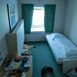
My cabin is all the way forward, and the window looks towards the bow (which is still beyond what you see in the photograph). I don't think this is the best place to be in rough seas. It was not.
The ferry is clean and quite pleasant, but immediately it's difficult to walk in a straight line. This might be a rough two days.

Shetland
Islands
I'm not sure why, but on the east-bound leg, we passed the Shetlands on the south side, but on the west-bound leg, we crossed on the north side. Perhaps that's a way to keep the shipping lanes manageable.
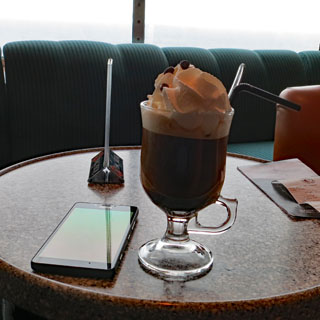
That's an Irish coffee (if you ignore the whipped cream). I think they've missed an opportunity by not offering a Faroe (or Denmark or Iceland) coffee by using whatever fermented drink is native to the Faroes (or Denmark or Iceland)--and, then use real Icelandic cream.
Faroe
Islands
The intrepid on deck looking forward to arriving at the Faroe Islands.
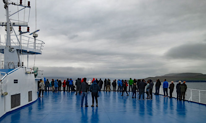
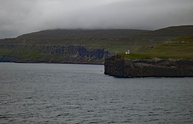
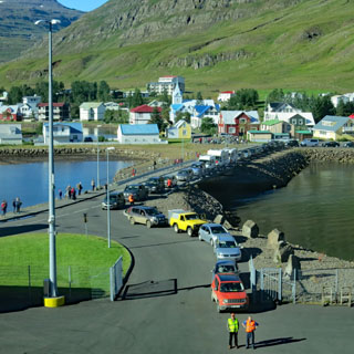
Tórshavn is the capitol and only town of any consequence.
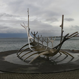
The boat I'm on is the only ferry that does this route. I gather it's common for tourists to stop at the Faroe Islands, and then wait for the ferry to return (either to Iceland, or back to Denmark). It looks like and attractive place (notice the Viking long boat in the cove).
I didn't get off the ferry; we are not here that long.
Iceland
I wasn't able to see the approach to Iceland, we were commanded to go below to the vehicles. While motorcycles were the first to load, it would take longer to unload as we had to wait for the cars to first clear the way to the ramp.
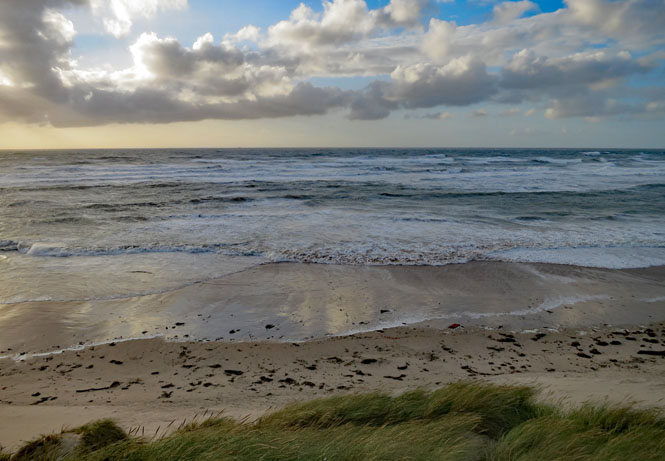
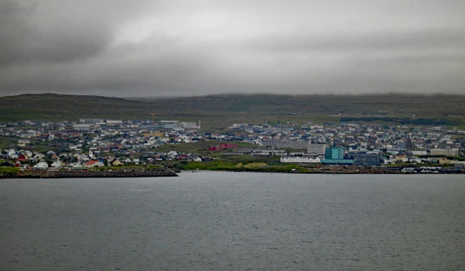
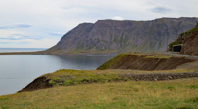
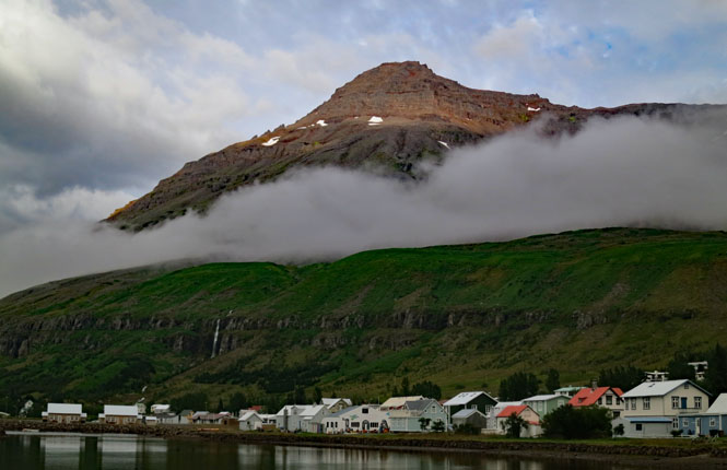
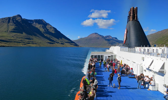
Seyðisfjørður. I'm looking back to the ferry, which is still unloading. It's raining. No matter; I'm happy to be in Iceland.
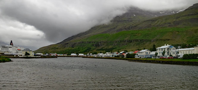
Very low clouds. It's either raining, or I'm just riding inside a cloud.
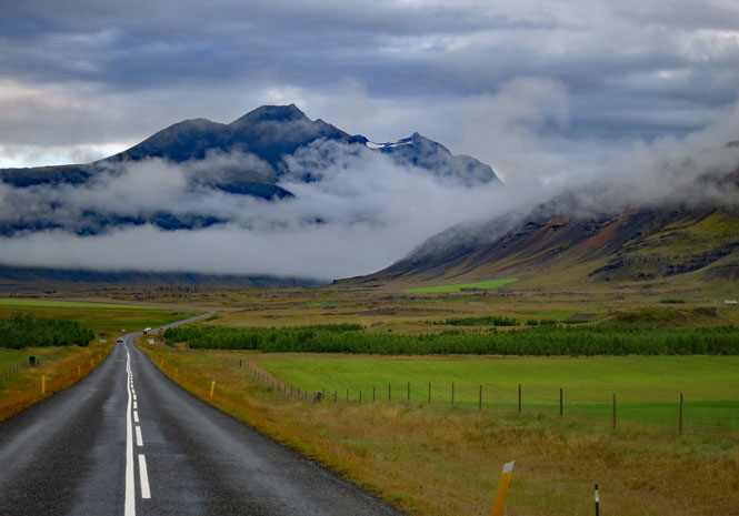
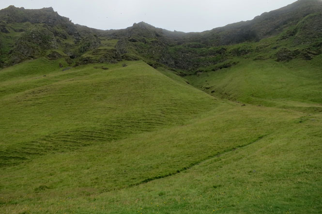
I'll get used to views like this in the days to come.
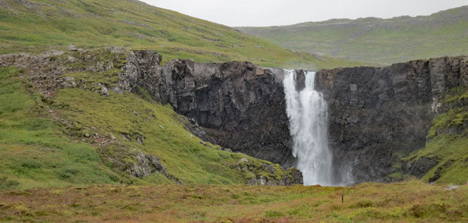
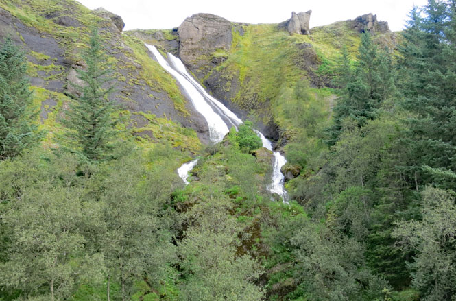
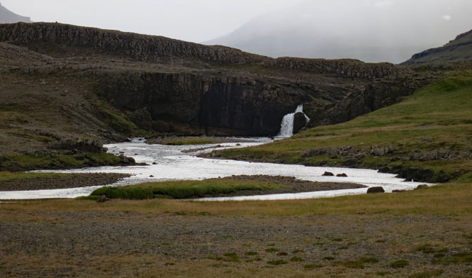
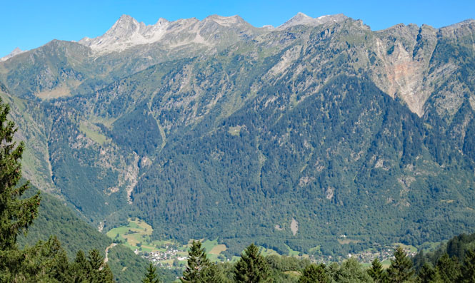
Gufufoss.
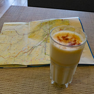
Egilsstaðir. I think I'll stop at this coffee shop (that's actually some sort of Chai Latte drink) to wait out the current rain and to figure out my next move. I'm heading south, but there are a couple of ways to do that. It looks like most of the traffic that just came off the ferry is taking Highway-1, so I believe I'll take Highway-92, instead. Eventually, both roads converge.
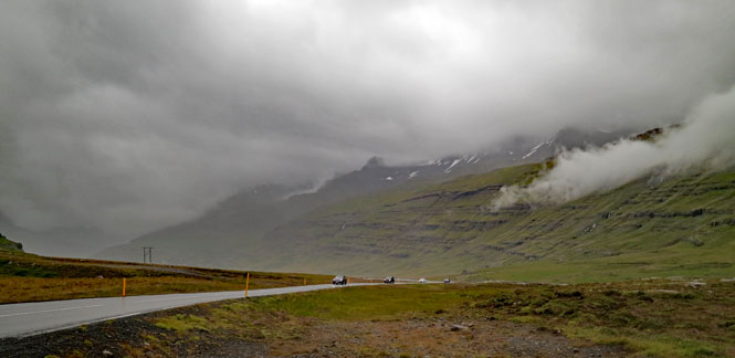
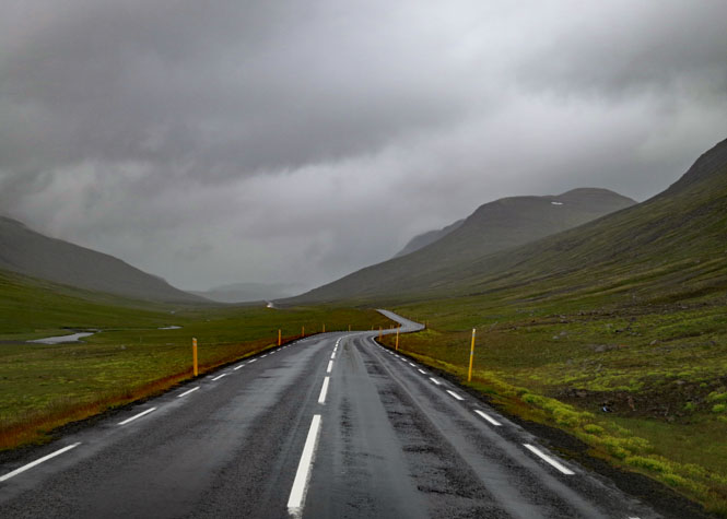
After two days on the ferry, it's nice to be on the road once again. Mostly, it's just a heavy mist, so not really too bad.
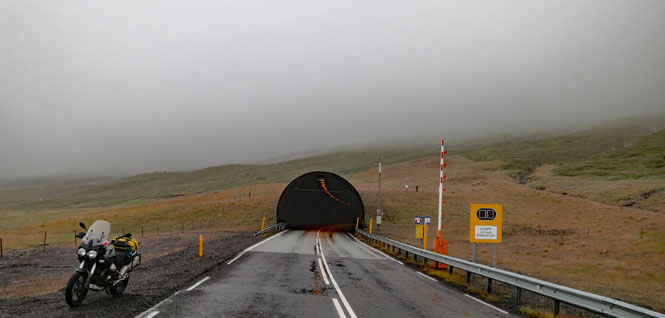
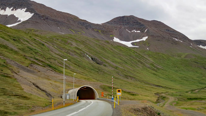
This tunnel is 3 1/2 miles long. I'm sure the mountain it runs through is impressive, but I couldn't say; I never saw it.
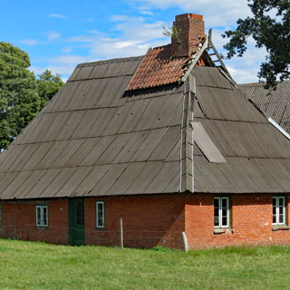
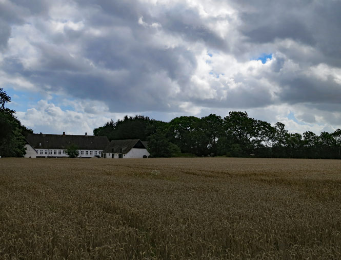
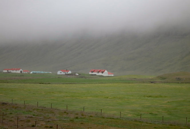
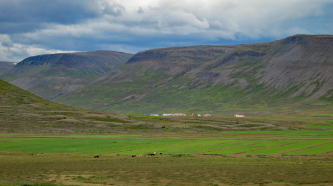
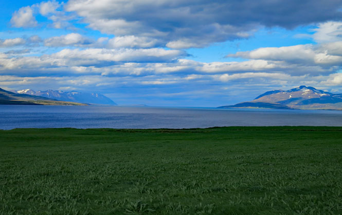
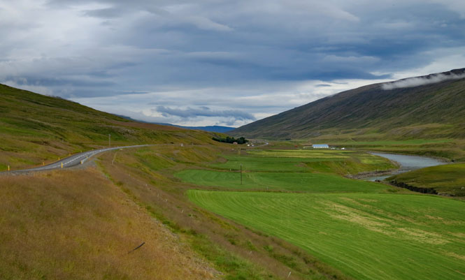
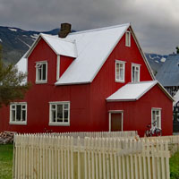
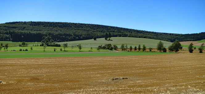
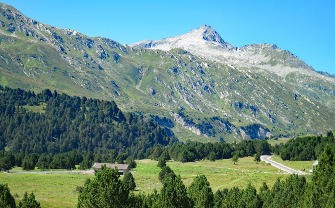
Nice looking farms. None of the buildings on any of the many farms I saw ever looked much older than this.
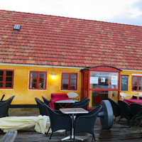
This is Stöðvarfjörður. Not only is it raining (a lot), but it's now cold and windy. I'm stopping at this coffee shop to warm my hands on a real cup of coffee (Chai Latte won't do the trick this time). I'll also put on my electric vest and plug in for some quick electric heat. I'm wondering what I've let myself in for. As it turns out, this is the worst weather I'll see for the entire week. I'll never need the vest again.
When it's raining, I don't want to bring my camera out. But, it stops enough that I can take a moment.
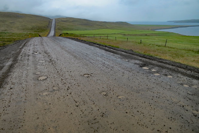
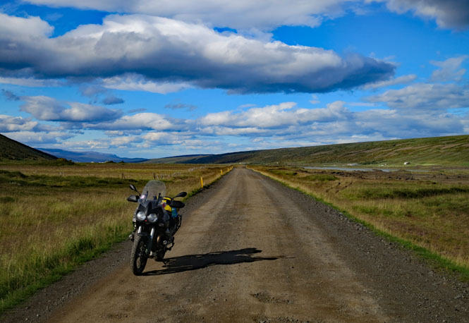
Not all of the National Ring Road is paved, but Iceland is working at it year by year. I think in dry weather I wouldn't even much notice this to slow down, but when it's raining, this isn't much fun. Thankfully, it was never as slippery as it appeared.
I'm sorry I missed the opportunity to take photographs of the coast road (due to rain). I was reminded of California 1 (but, without the trees).
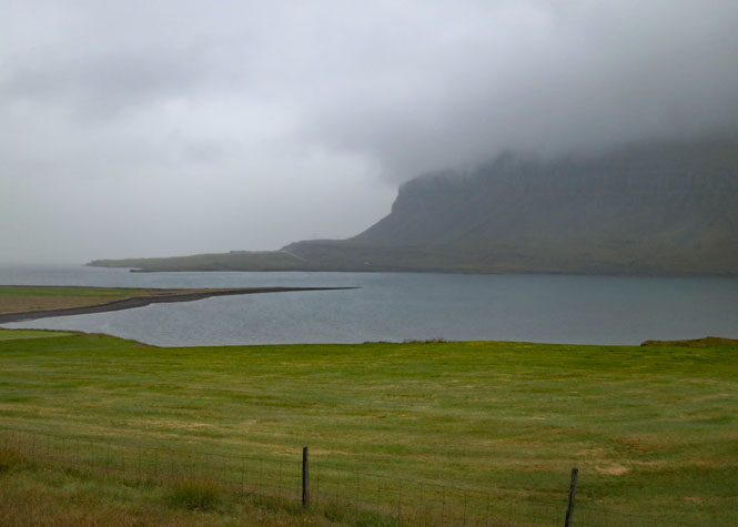
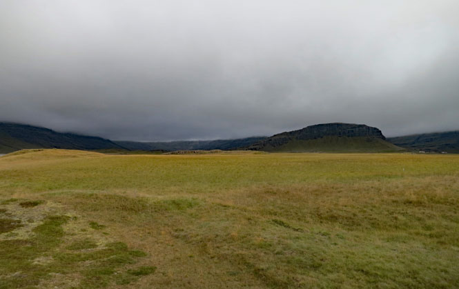
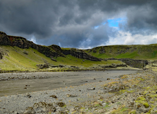
Berufjörður
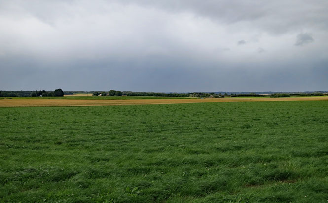
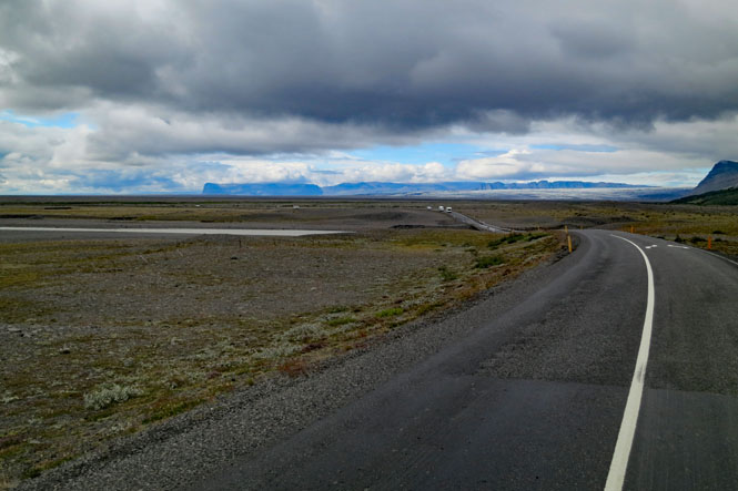
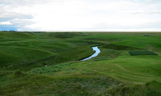
The flood plains are huge. There's no water here, now, but it's clear that in years past, there's been a serious deluge.
Pavement requires material that isn't found on the island, so sometimes the road (I'm standing on it) is super-compressed gravel (similar to chip-and-seal, but never slippery). It works.
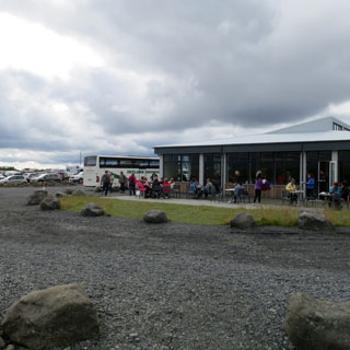
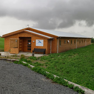
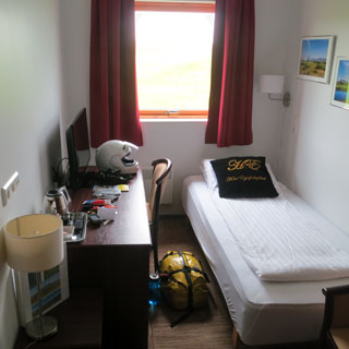
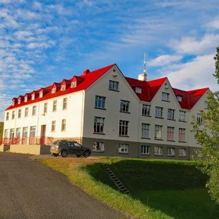
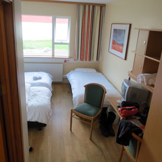
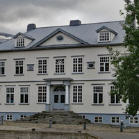
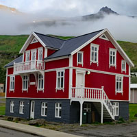
Near Höfn. This is my first scheduled night. I arrived in the rain, but that stopped for the evening, so I was able to walk around. Many hotels in Iceland are converted boarding schools (as is this one). In the summer it's a hotel; out of tourist season, it's a school. It does have the feel of a dormitory, but it's clean (if a little worn). The showers are down the hall.
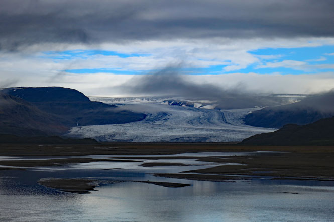
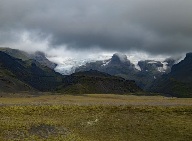
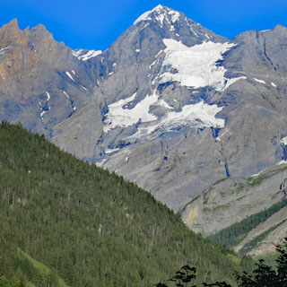
The view from the hotel. Yes; those are glaciers coming down the valley.
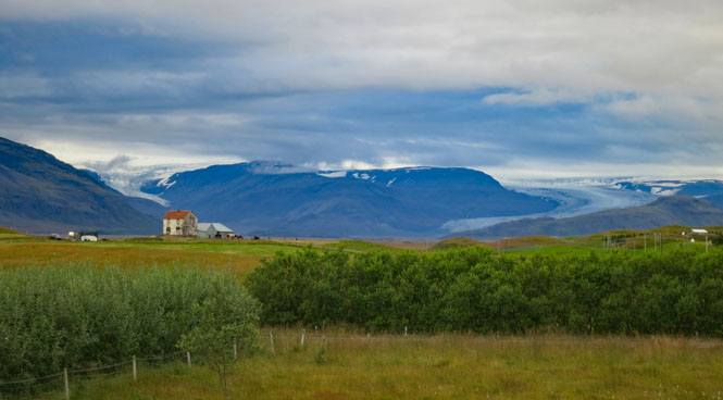
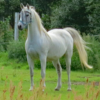
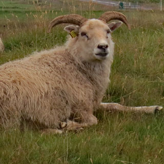
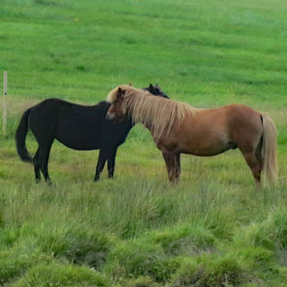
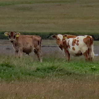
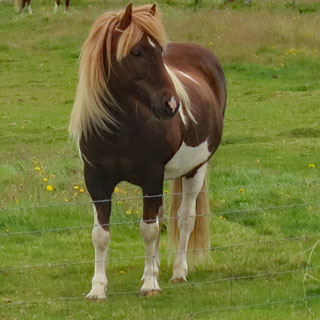
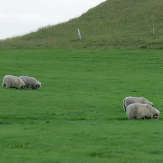
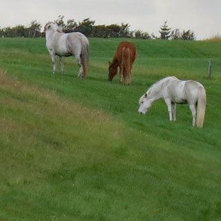
Icelandic sheep and Icelandic horses. This is the only type of horse you will see.
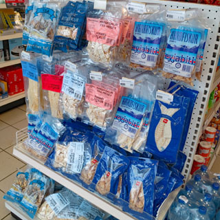
Dropping into Höfn the next morning. You've seen row after row of beef jerky at an American convenience store? Well, here it's dried fish. Who's to say which is the healthier?
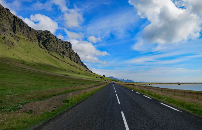
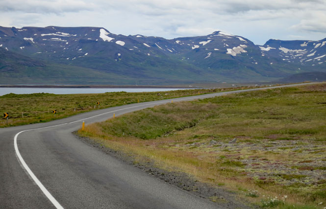
I don't think rain will be much of problem today. The temperature is perfect and this is mostly the way it will be the rest of the trip. I like cool weather, best.
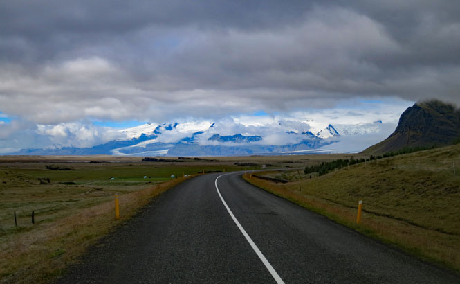
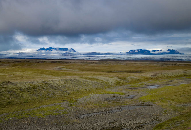
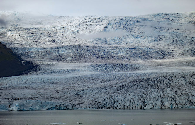
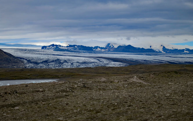
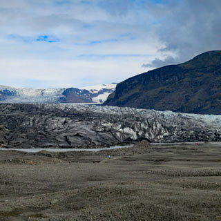
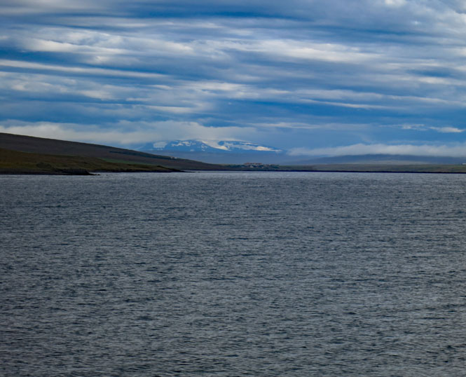
If you look at that map of Iceland at the top of this report, you'll see the large ice cap along the southeastern side. What you see below is just a small bit of it.
Vatnajökull Glacier
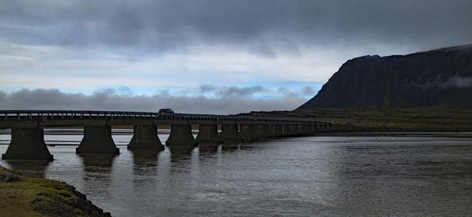
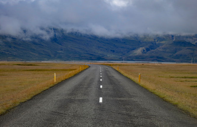
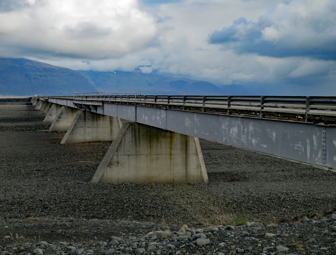
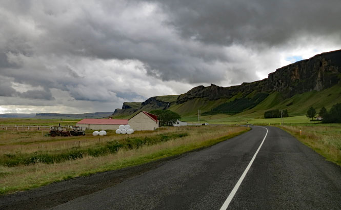
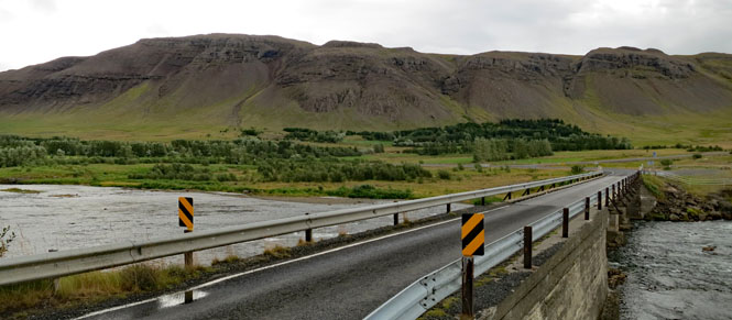
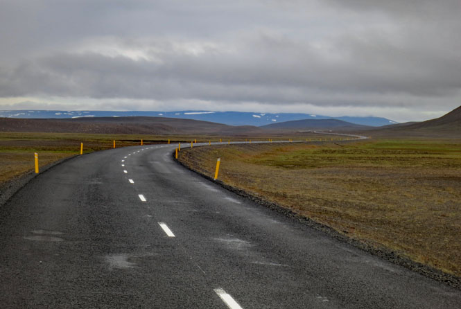
Many of these roads and bridges are recent things. None were here before around 1950. At least not paved and manageable by an ordinary car. This long bridge, like nearly all the bridges, has only a single lane. The longer bridges have occasional pull-out areas, the others, you need to be aware of any traffic that might be on the bridge when you approach and who has the right-of-way. On a motorcycle, it's much less of a concern.
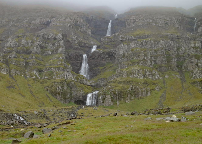
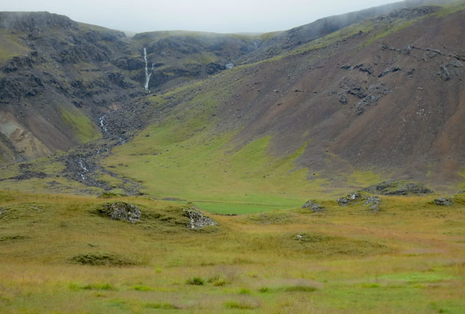
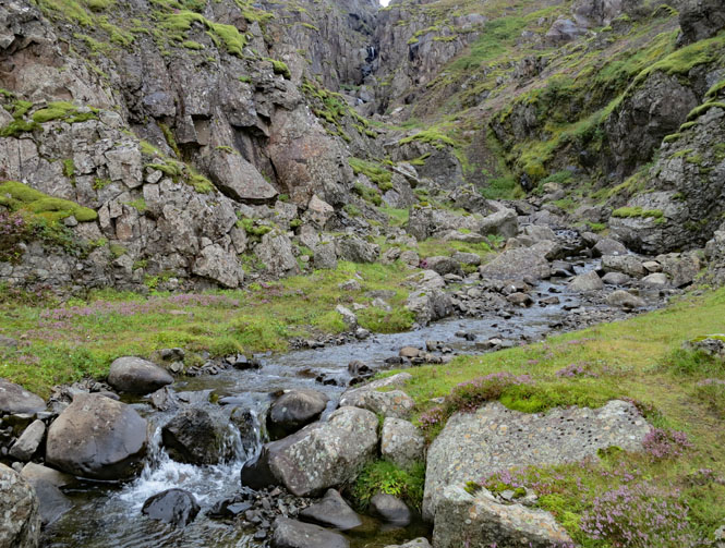
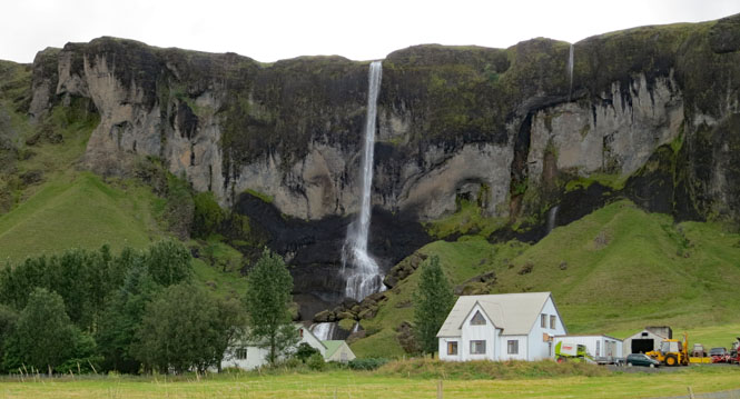
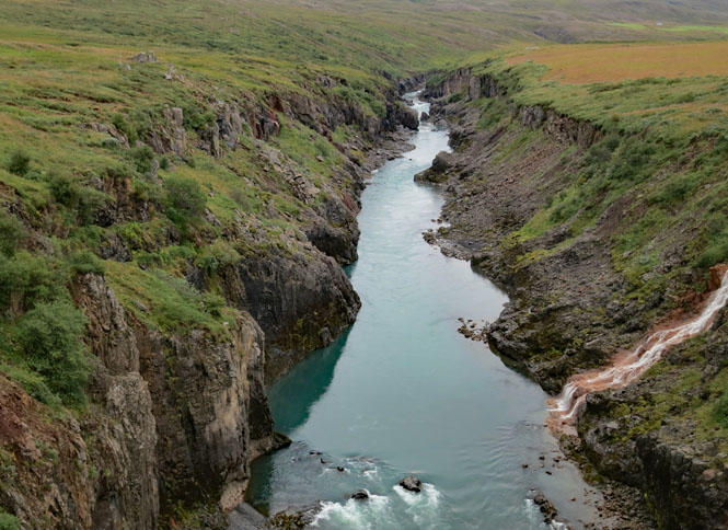
Everywhere, water is pouring off the cliffs creating waterfalls and creeks like this one. This scenery is (un)common.
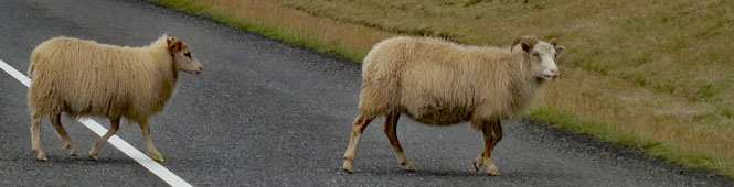
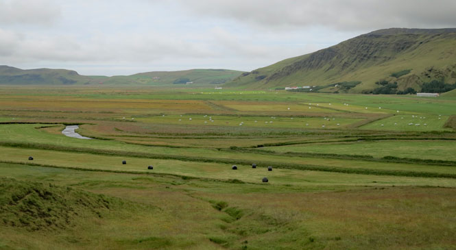
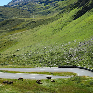
Kalfatellsstadhun. Sheep, crops (grain), horses. That seems to be the order of things for many farms.
Traffic was never an issue.
Do not hit the sheep. I believe they have the right-of-way.
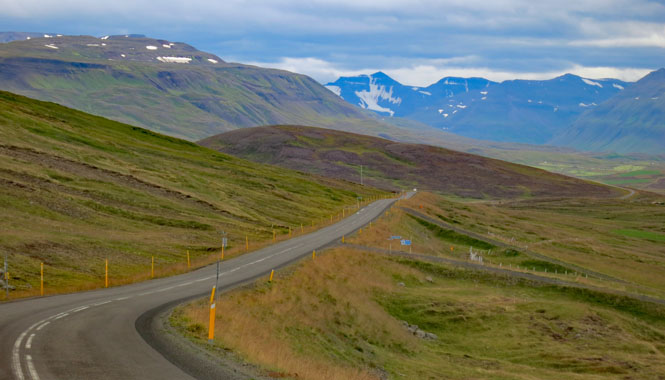
Each turn of the road opens up something new. It's always changing.
The big ice is always "just over there." You feel it.
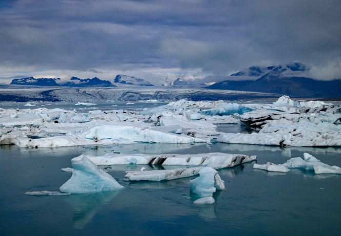
Glacier ice breaking into the river. This is moving quite a bit. The flow isn't high enough for the ice to get out to the ocean (at least not this time of year), so it just circles around in the bay, always moving.
Jökulsárlón Lagoon
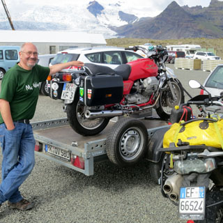
I've no idea what sort of bird that is, but that's a 1989 Moto Guzzi Mille (and its proud owner from the Netherlands).
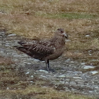
Update: that bird is a great skua (stercorarius skua).
People do hike (and drive) into the interior on the ice, but they had better be very well prepared. Help will likely come from you and nobody else.
Ice and mountains. It's elemental.
This is what the Vikings saw. It hasn't changed.
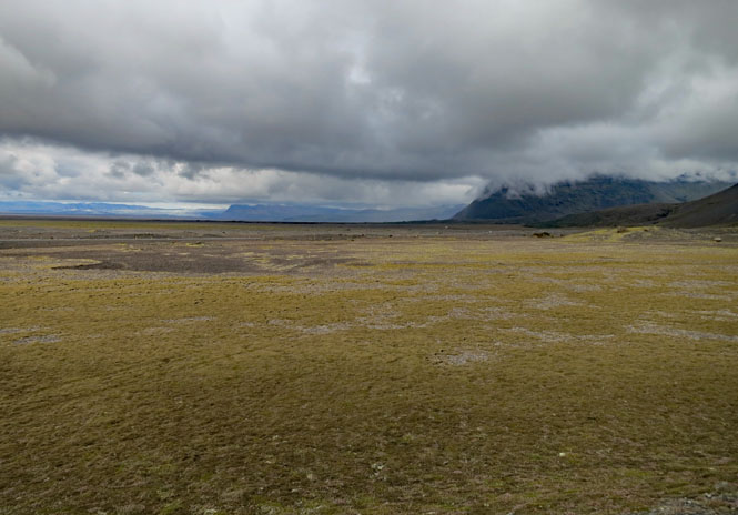
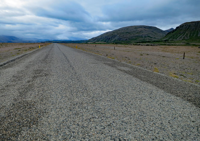
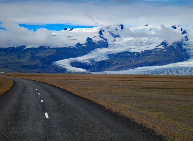
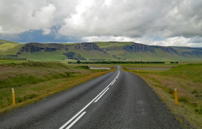
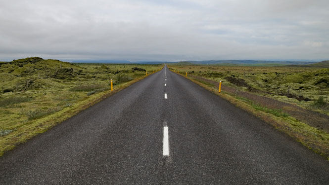
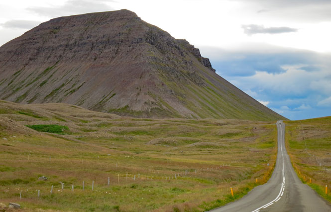
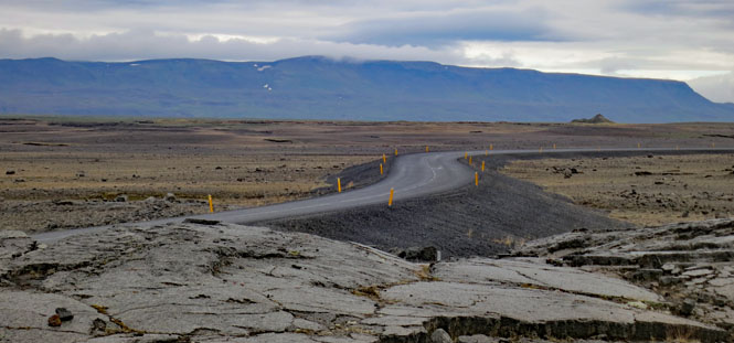
I wasn't expecting such long, flat stretches of road.
Skaftafells Jokull. There's a one mile trail that takes you to the front of the glacier.
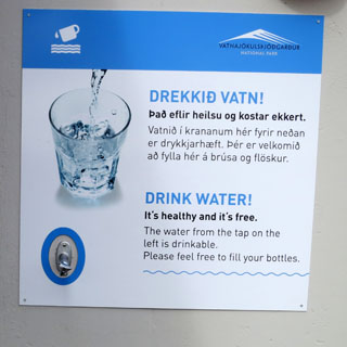
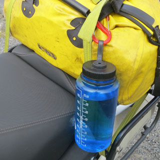
Of course I filled up with pure, fresh glacier water. Drekka vatn!
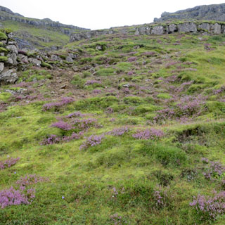
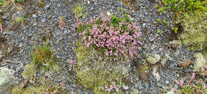
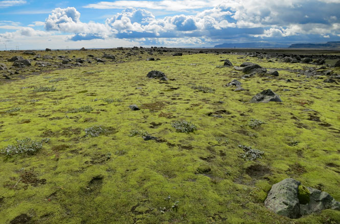
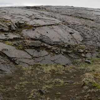
In a certain light, the green cover was extraordinarily bright.
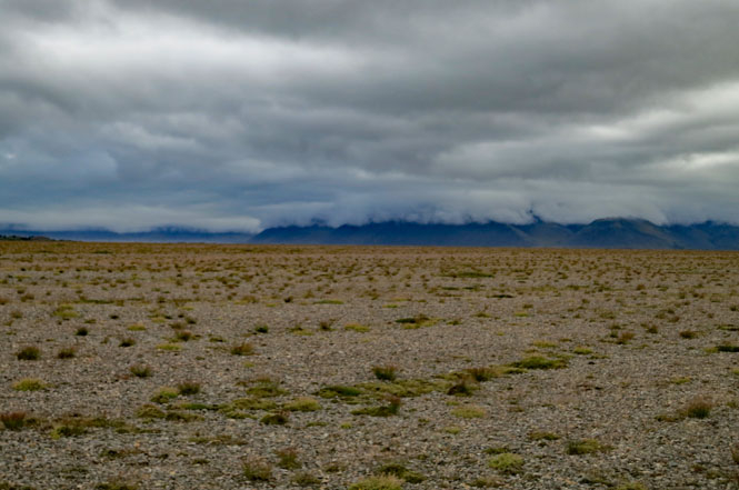
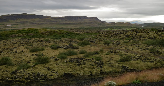
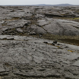
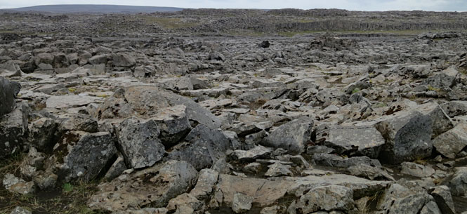
A vast lava field with a soft layer covering it all.
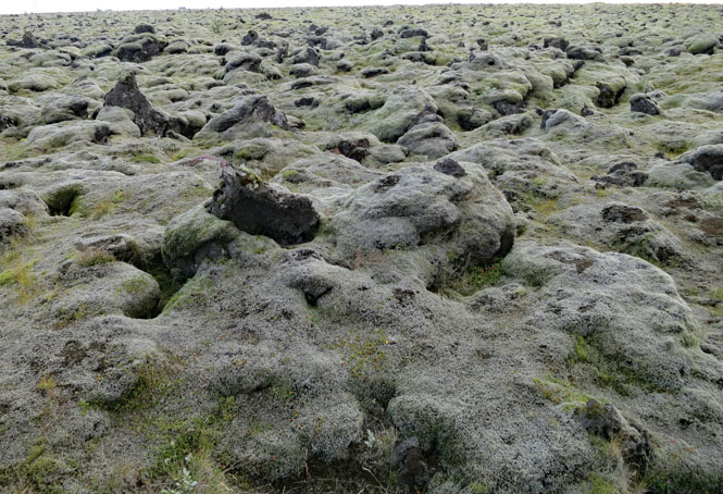
I wouldn't walk too far on this as you really can't tell when you'll break through into a deep crack in the ground.
Icelandic horses are known to have more gaits than your typical horse. Apparently, they're quite comfortable to ride for great distances. There were many places that offered horses to ride, but I never took the opportunity.
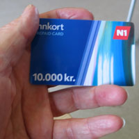
The self-service pumps were a real problem since American cards are generally not accepted. Thankfully, a widely available station "N1" offers a cash card that can be used at all their stations. I bought this 10,000 Kroner card and my problems were ended.
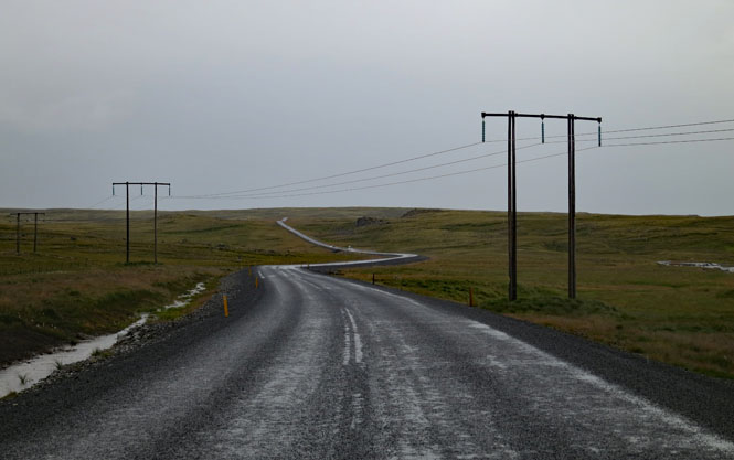
I had reservations at this guest house south of Kirkjubæjarklaustur. You can't easily see it, but there's a gravel road that leads right to it.
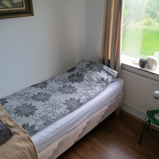
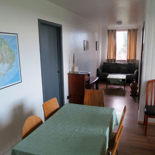
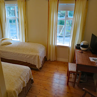
My room was a small bedroom, and nothing more, but the rest of the house was plenty roomy. It also had a full kitchen that was used by other guests (but not me).
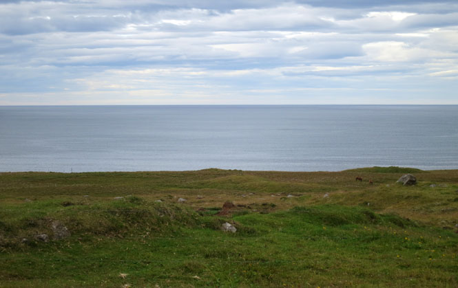
The view from the guesthouse.
More sheep. More Icelandic horses. Both are friendly.
Walking several miles through the open fields in the evening. You can still see some of the old buildings, but they're quickly reduced to the elements.
Kirkjubæjarklaustur.
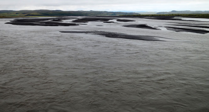
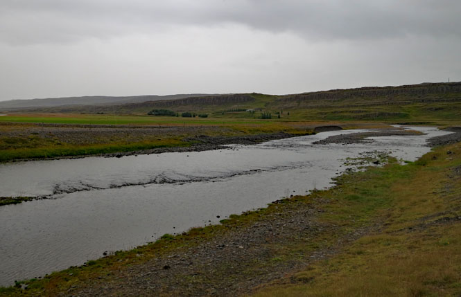
Kúðafljót River
Kúðafljót River is one of the largest glacial
rivers in the country and is, in fact, a river basin where a large number of
rivers merge together from the surrounding area. The source of the river is
considered to be where Hólmsá River, Tungufljóts river and the lake Eldvatn
meet in a place called Flögulón, just north of the national road and flows
further onwards in between Álftaver and Medalland and then towards the ocean
by way of Meðallandssandur. Kúðafljót River was first bridged in 1993 which
became a major asset to the road system in the area.
--www.katlageopark.com
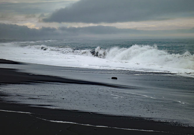
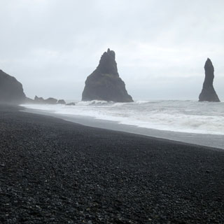
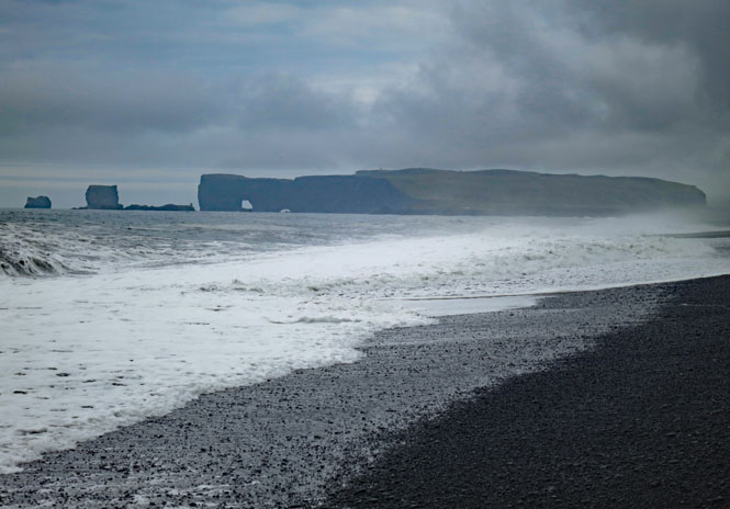
Vík í Mýrdal is the most southern town in Iceland.
The black sand beaches near Vik are always mentioned in guide books, but you don't expect it, just the same.
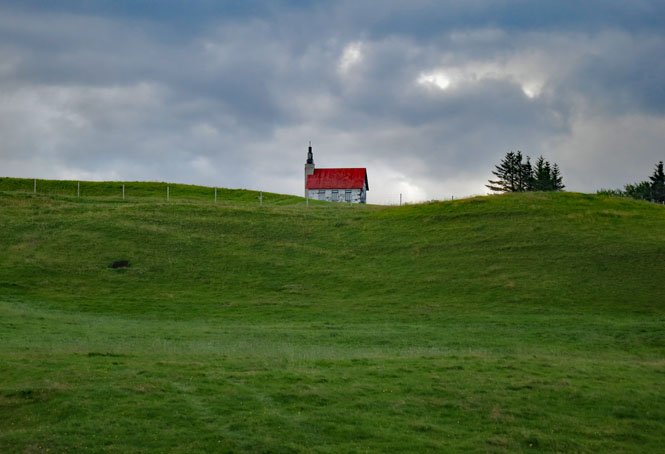
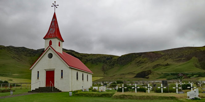
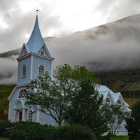
Should volcano Katla let loose (at it last did in 1918), this town is in the path of the expected large flood from melted ice. This church might be the only building that will survive. During training, the townspeople practice rushing for the church and higher ground. They are prepared.
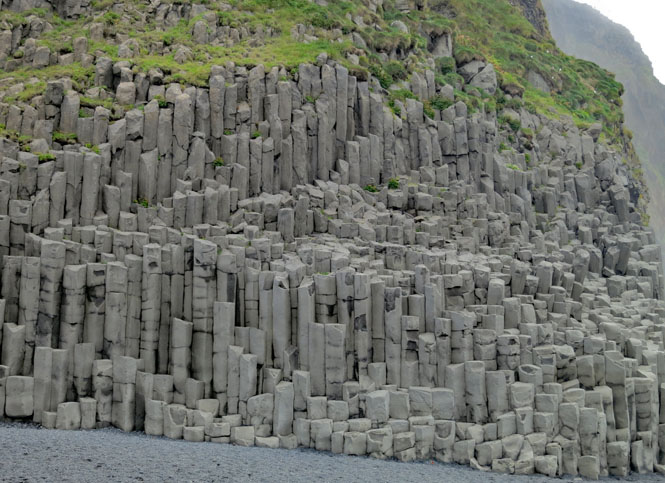
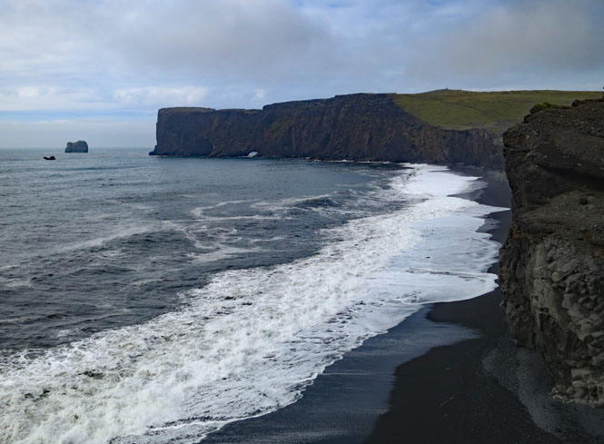
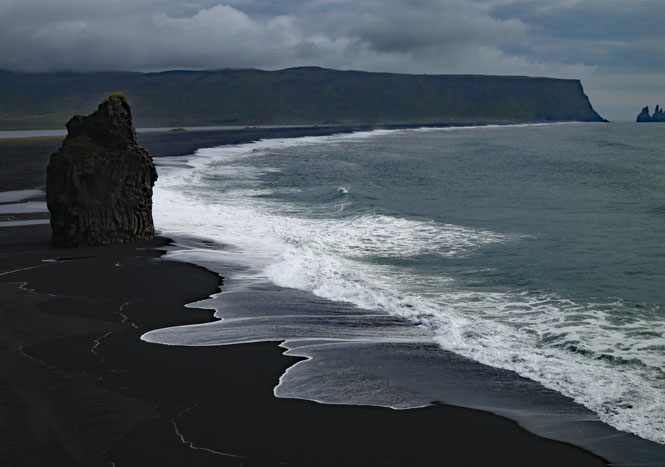
The Reynisdrangar basalt sea stacks. I'm told that two trolls had something to do with their creation--or not. Icelandic trolls can be good and very bad. You definitely don't want to mess with them.
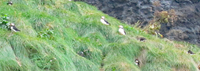
Puffins!
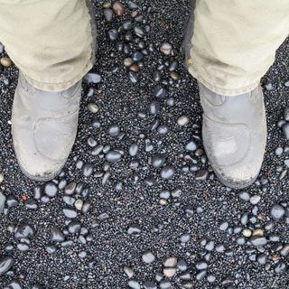
Black basalt sand.
The church at Reynir. This is where Reynir-Bjorn arrived from Norway around 900 AD. There has always been a church here.
The Dyrhólaey Nature Reserve.
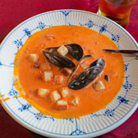
Skógafoss. I've got time. Let's have fish (soup), followed by fish.
This is one of the more classically beautiful falls you'll see.
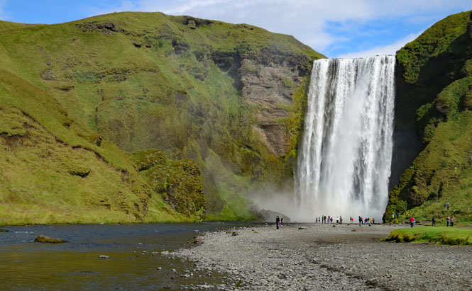
This land is made for waterfalls.
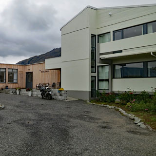
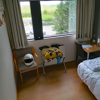
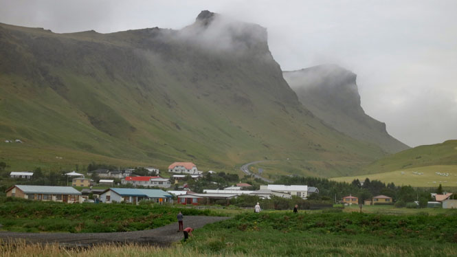
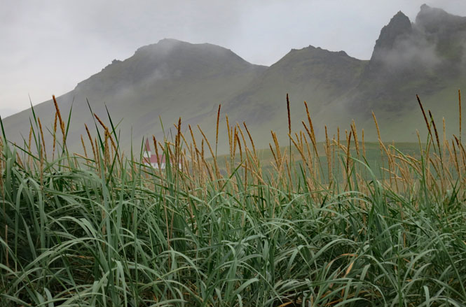
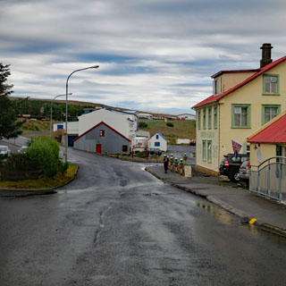
Hvolsvöllur. The rooms are small, but very clean. The breakfast buffet is amazing.
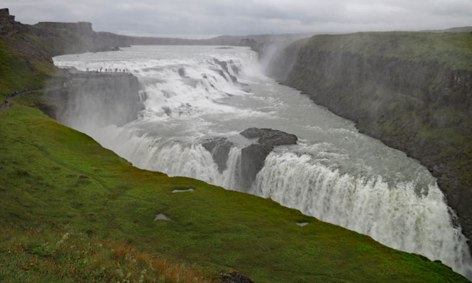
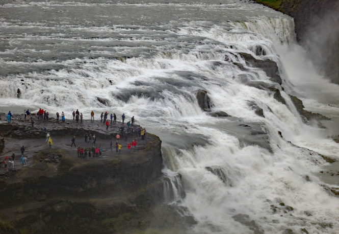
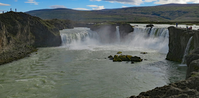
Gullfoss. The water drops across two slashing steps in the canyon of the Hvítá river.
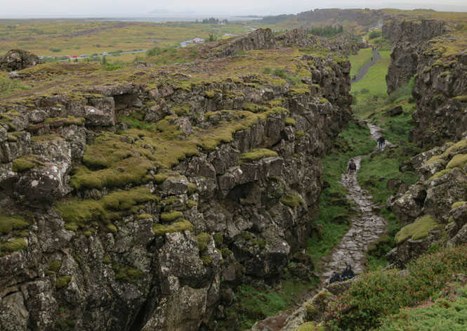
Þingvellir, the "Parliament Plains" is a National Park. The nation's general assembly was established here in 930. This is also where the Atlantic Ridge comes through. You could say that Europe is on one side and North America is on the other.
Lögberg - the law rock is here (somewhere) along the Almannagjá fault. The Law Speaker would proclaim the laws of the Icelandic Commonwealth each year.
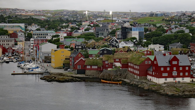
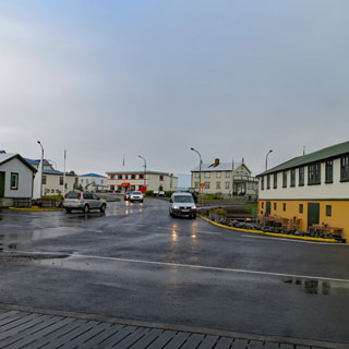
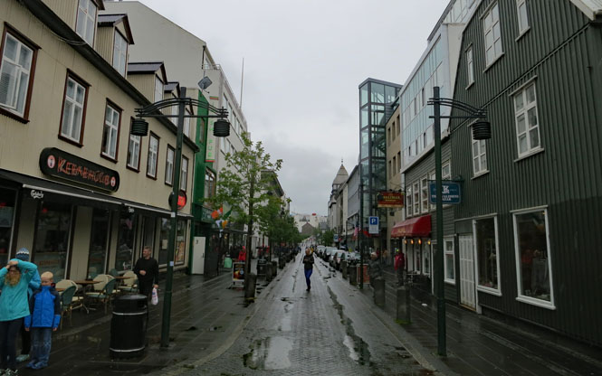
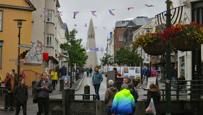
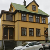
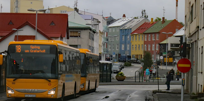
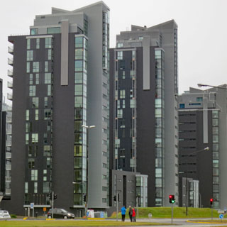
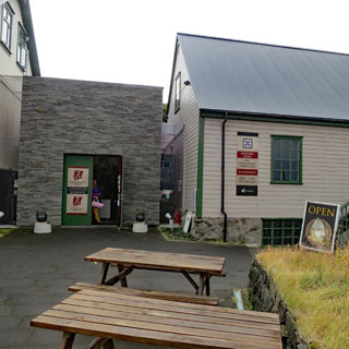
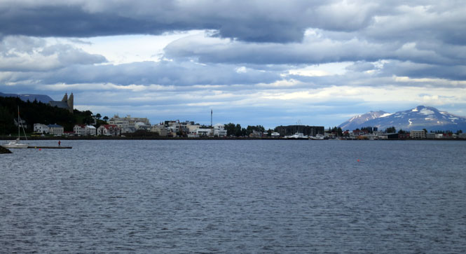
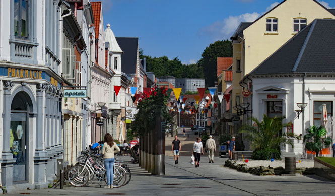
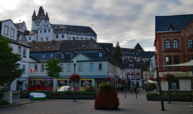
Reykjavik is the largest city in Iceland, and mostly where everybody lives. The core of the city (where I stayed) might look like a small town, but this core is surrounded by a modern city.
I found a good place to park, just outside the entry door. That green building outside my window? Another pub.
This is an easy place for walking. I do wonder, though, how many native Icelanders I passed on these streets. It almost seems the entire world is here, but (perhaps) the locals have gone elsewhere.
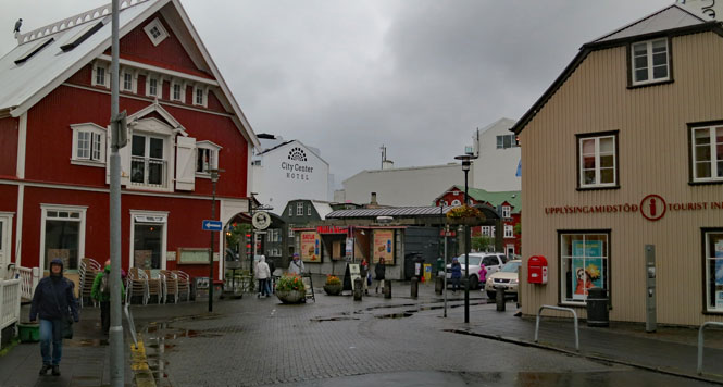
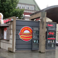
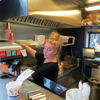
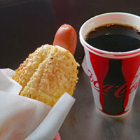
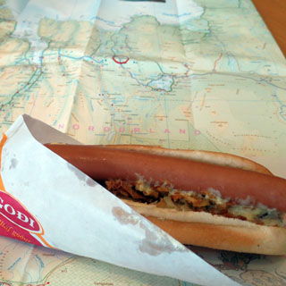
The hotdog might be the national food (after lamb and fish).
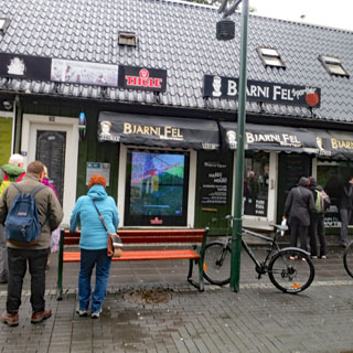
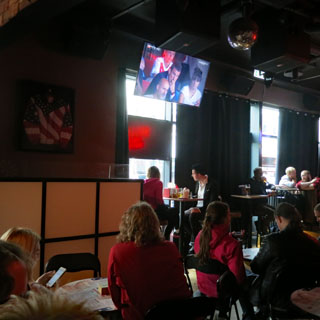
Through my open hotel window I would occasionally hear cheers from the street (I'm on the 4th floor). There are several bars/pubs nearby, and all of them have the Liverpool match on the television.
This bar (below) even has an outdoor screen. Put your head inside and you'll see most people wearing red. Why is Liverpool so popular around here?
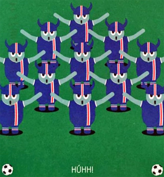
Of course, the local Iceland football team is by far the most popular thing going. Húhh!
I had a difficult time getting to my hotel as many of the streets are for pedestrians only, and the others are one-way. In the end, I rode down one of these pedestrian streets to get there (it didn't seem possible, any other way).
Classic Scandinavian buildings, but these are all made from corrugated steel. I doubt that any are very old.
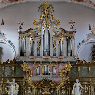
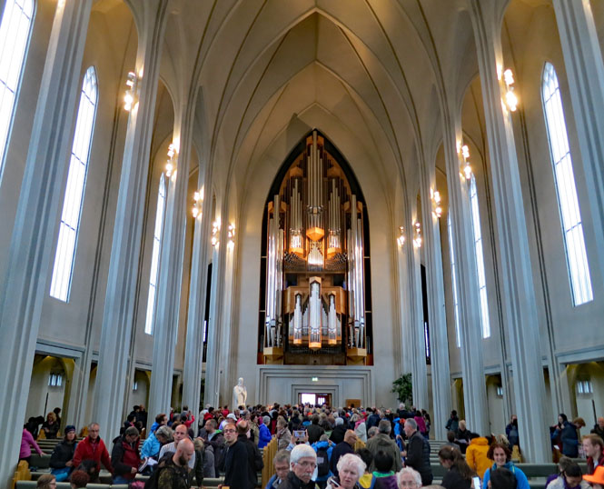
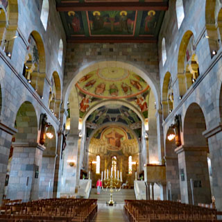
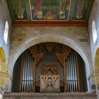
Hallgrímskirkja is the largest church in Iceland (Church of Iceland, Lutheran). The design was commissioned in 1937, but it was not completed until 1986. The design of the tower is meant to be reminiscent of basalt lava flows (of the sort we saw earlier).
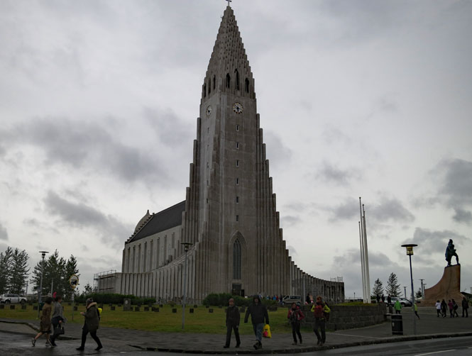
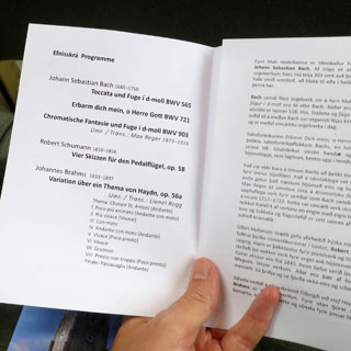
I arrived just in time to buy a ticket to a performance on this organ by Christoph Schöner
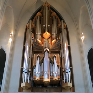
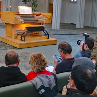
The works selected were thundering things meant to show off the power of the organ (and the skill of the performer). In particular, The Brahms "variations on the Choral St. Antoni" had the large ten-meter pipes vibrating your body.
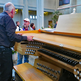
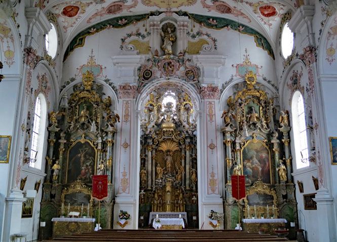
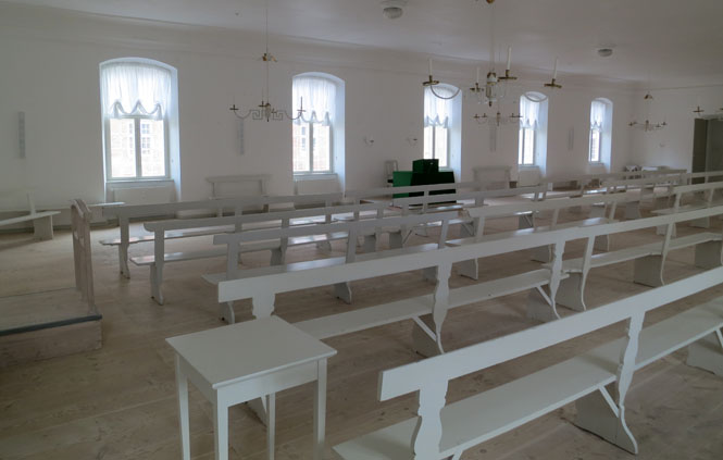
The pews have reversible backs, so the audience was all facing towards the rear of the church (at the organ).
Attractive modern buildings...
...and at least a few old ones.
Not far west of Reykjavik, the ring road dives under an inlet through a tunnel, cutting off quite a few miles of the old road. The weather was looking fine, so I took the old road along the coastline.
Borgarnes.
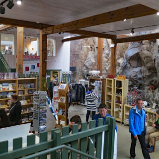
The settlement museum gives a good overview of the settling of Iceland as well as some of the old sagas from the day of the Vikings.
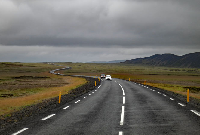
There was a noticeable increase in traffic within a thirty mile radius of Reykjavik. Beyond that, things return to the empty stretches of road that I've become used to.
At times the rain was quite hard, but mostly I was riding in a steady drizzle that seems more typical of Scotland.
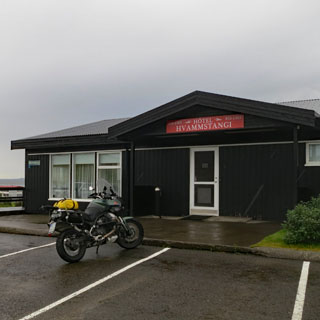
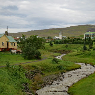
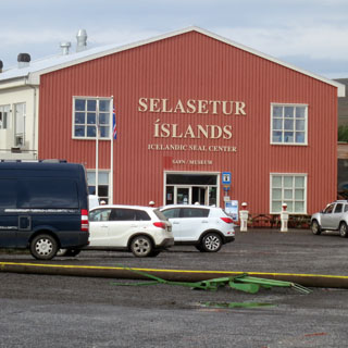
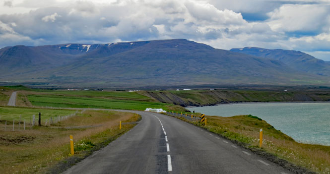
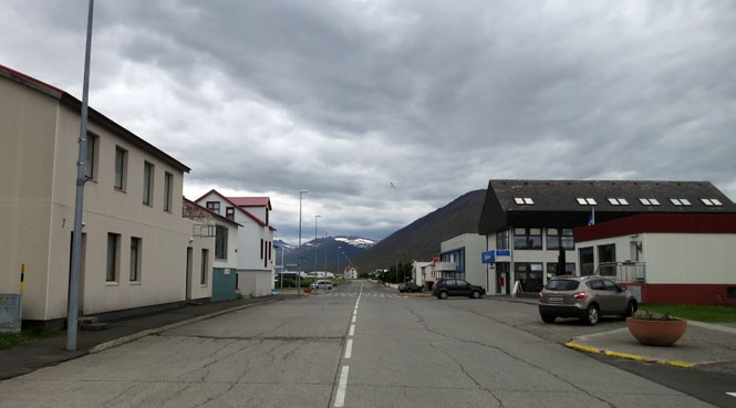
Hvammstangi is on the Miðfjörður fjord, a few miles off the ring road.
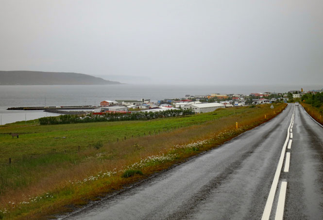
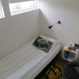
Since I hadn't stopped as often as I might have if the weather was better, I arrived pretty early. I'll sleep with a sad seal looking at me.
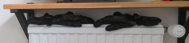
Arriving early is good; It'll give my warm gloves a chance to dry before next morning.
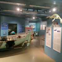
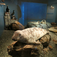
The Icelandic Seal Center sponsors seal research and conservation and has a good museum of the old seal industry.
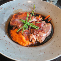
What's for dinner? Lamb.
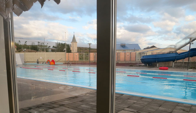
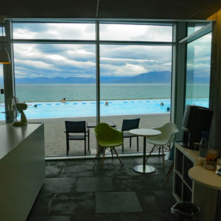
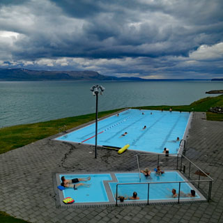
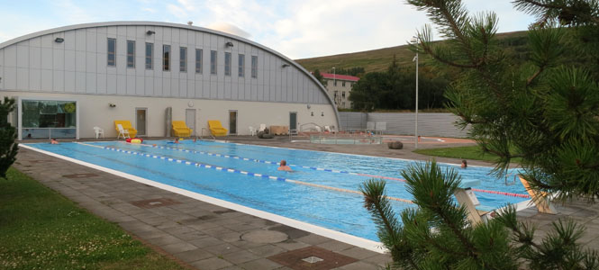
Throughout Iceland, you'll find very nice swimming pools and hot tubs. Seemingly, no matter how small a settlement, they'll find a way to build a pool. The water is naturally heated, and comes straight from the ground without any chlorine added. For this one, my hotel key gave me free admission, but the cost is never that high. On a cold winter's day, I can't imagine anything better, and it's not so bad on a cold summer's day, either.
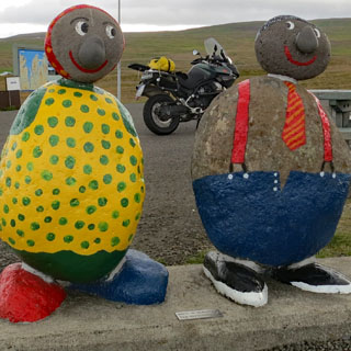
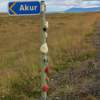
Friendly rock-folks saying hello. What's Icelandic for "hello"? Halló. A sign post, miles from any settlement, is kept warm.
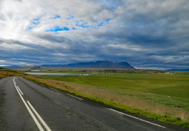
Riding north.
Saudharkrokur.
Hofsós. The population is less than 200, but their pool is amazing. Have a hotdog (with unknown stuff).
Riding the north shore.
That's a 15% grade. You might want to slow down before going airborne over the top...
Keep going that direction and you'll pass over the north pole before landing in Russia.
Perfect riding weather. This is a spectacular place.
You can see the entrance to one of four long tunnels in this area. The older ones are only a single lane wide. There are pull-outs within the tunnel. You need to be aware of which direction has the right-of-way.
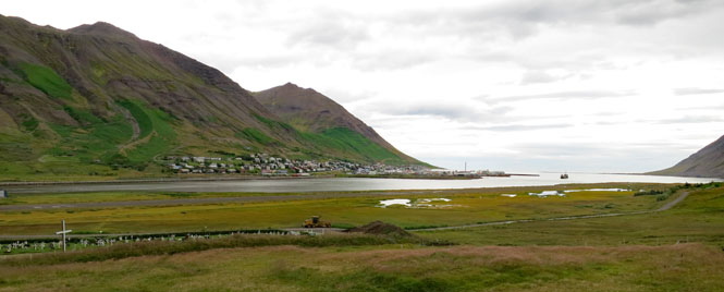
Siglufjörður.
Looking back towards Siglufjörður.
This newer tunnel (about 3 miles long) has two lanes, which is nicer. Before the tunnel? You'd be on that dirt road to the right.
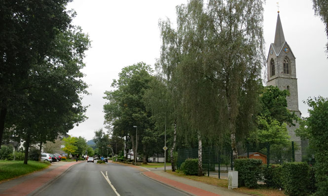
Ólafsfjörður. Let's stop for a break.
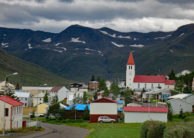
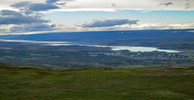
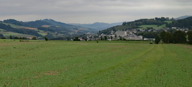
Akureyri is the largest city in northern Iceland, and the fourth largest city in the country. For all that, its population is only 18,000.
Fjord Eyjafjörður.
I misread a sign and rode ten miles down this unpaved road before stopping to check the map. Oh well, it's a pretty area. Turn around.
Góðafoss. In the year 999, Þorgeir Ljósvetningagoði (the law speaker) proclaimed Christianity to be the new official religion of Iceland. He tossed all his statues of the Norse Gods into these falls, and that's where the name comes from (falls of the gods).
Þingeyjarsveit (Laugar). This is a rather large boarding school. I had more beds in my room than I really needed.
Every evening's routine: wash yesterday's things in the sink and charge batteries.
It's such a nice thing, these warm pools.
Lake Mývatn. The name means "midges." Small black flies that are not pleasant. I kept my helmet on when walking about.
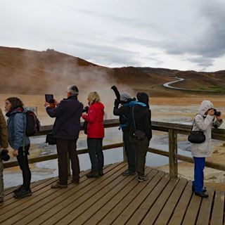
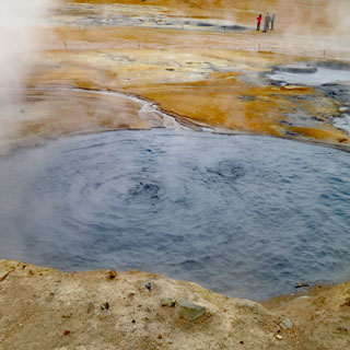
Geothermal activity is everywhere.
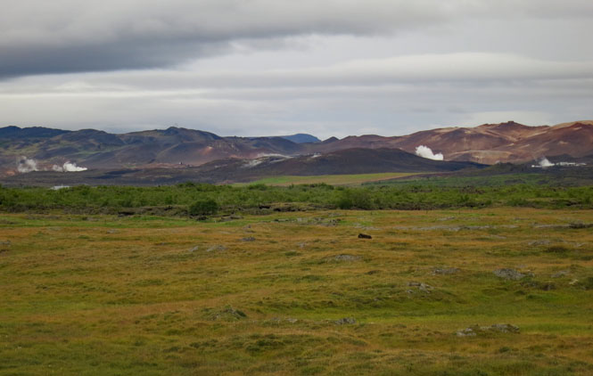
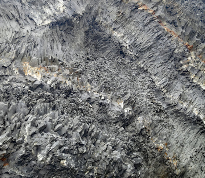
Námafjall, Hverir geothermal area.
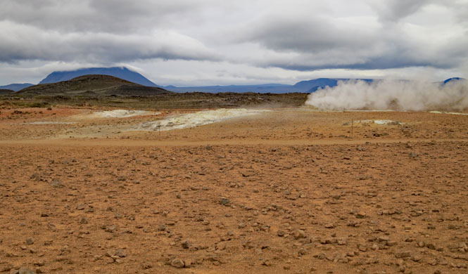
You can walk out there if you want, but if you fall in, it's your fault.
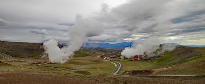
Krafla Power Station produces 60 megawatts and was completed in 1977 (with expansion projects since then).
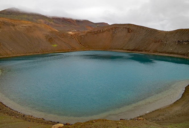
Krafla Caldera.
Ódádhahraun Lava Field.
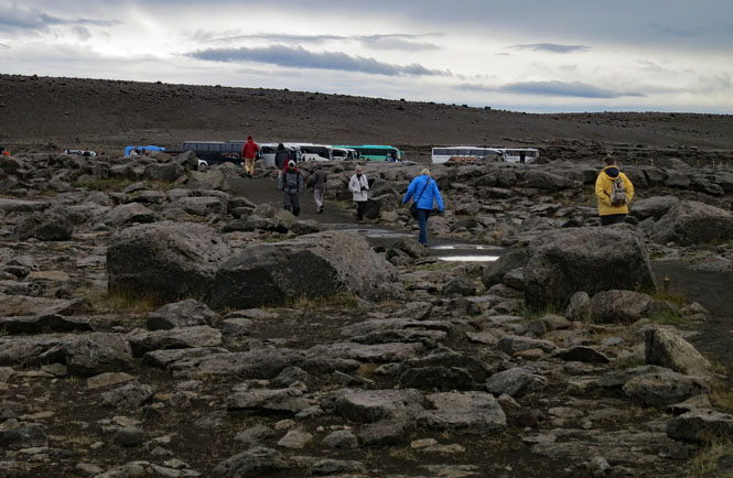
Tour busses parked while people walk the path to see Selfoss and Dettifoss. Not many years ago, the roads on both sides of the river to the falls were unpaved. Today, it's paved to the parking lot.
Selfoss.
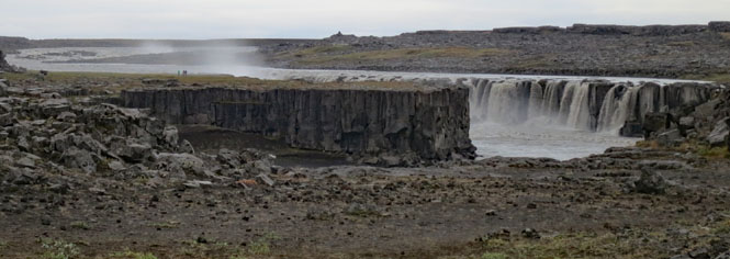
Dettifoss is the largest waterfall in Europe (measured by power). Not only are these falls large, but the ground vibrates. You feel it in your chest.
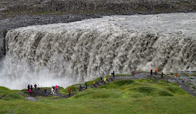
As with many of these locations, if you want to be stupid, you can be stupid. You'll see few barriers beyond the simple rope line next to the pathway.
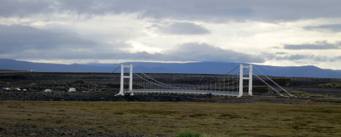
A single-lane suspension bridge over the Jökulsá á Fjöllum.
In the morning, I had every intention of taking the longer coastal road instead of the ring road, which cuts across through the inland region. But, some of that road is unpaved and since it rained all night, and is still lightly raining this morning, I decided to stay on the ring road.
Iceland does have trees, but they're not especially large, and you won't find any around here of any size.
Crossing the Jökulsá á Brú.
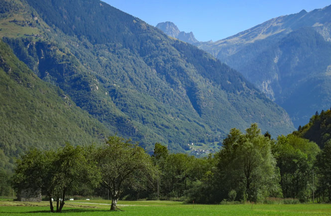
Egilsstaðir. This is where I had that Chai Latte a week ago. I'm back, but coming from a different direction.
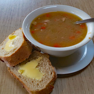
Lamb soup is what is offered. The rich, yellow Icelandic butter reminds me of Jersey butter.
Looking back for a high view of Egilsstaðir and Lagarfljót (Lake). You've got to first climb this hill (there's more behind me) before plunging down to Seyðisfjørður.
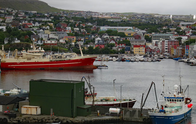
Seyðisfjørður, once more. I've come through the same cloud layer that was here when I first arrived.
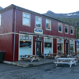
I had a room reserved for the night; they are very limited. Most people taking the ferry are staying in Egilsstaðir (over the hill), but this is a more interesting place and it makes it far easier to have a relaxing breakfast while you watch for the ferry to arrive.
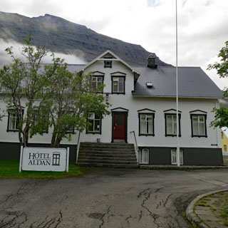
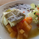
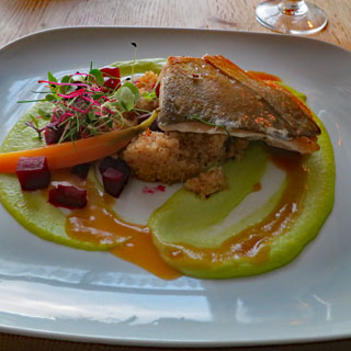
Mostly, in Iceland, you'll be eating lamb or fish (or hotdogs). Tonight I had fish at the Aldan Hotel Restaurant (the best of the entire trip).
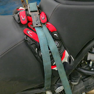
It's a glorious day. The ferry has arrived, and it's time to strap the bike down for the two-day journey back to Denmark. One strap over the seat is really all that's necessary, but I added one more on each side, in case an Icelandic Troll steals aboard. The gloves are there to protect the seat. I strapped my helmet to the passenger seat using the same straps that normally secure the yellow duffle bag.
Motorcycles load first, and then there's a long wait while everybody else loads. Far to the rear, you'll see a few more motorcycles. Those are the ones that will be getting off at the Faroe Islands.
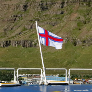
Our ferry flies the Faroe Islands flag (Tórshavn is its home port).
Sigh... Why couldn't I have had days like this during my ride? No matter; the days were fine enough.
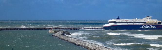
Unlike the rough seas when I came to Iceland, the trip back was calm.
 Norway
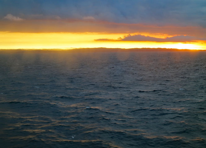
Sunrise over the southern coastline of Norway (looking through my cabin window).
Denmark
Time to unload. Many of the bikes that were on the ferry with me going out, are also with me coming back. I don't know that I've seen so many overloaded motorcycles in one place. To the left of me, the right of me, and in front of me:
That BMW to the right of my motorcycle toppled over just after I took this shot. Luckily, it fell to the right and not to the left, in which case it would surely have taken mine down with it. The owner was unscathed, and with multiple hands we put the thing back on two wheels.
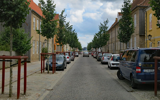
Viborg. The name comes from the Old Norse words for "holy place" and "fort."
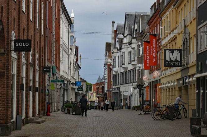
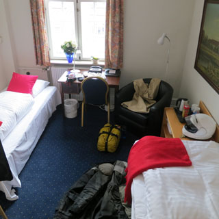
I stayed at the Palads Hotel. My usual routine to find a hotel works well: ride to the center of the oldest part of town, park the bike, look around for a hotel that looks interesting. This won't work in the United States.
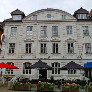
Clearly, this isn't a peak tourist day, nor time of day.
The Viborg Cathedral dates from 1130, but this current building dates only from the nineteenth century (and is now Lutheran). I think bits of the crypt are all that remains from the original.
Straight, vertical walls are rare.
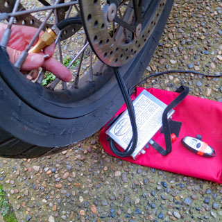
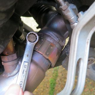
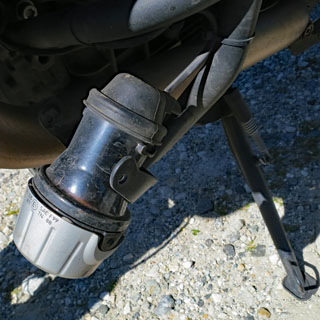
Maintenance: 1) Check the tire pressure, and inflate as needed using the small air compressor. 2) Tighten the exhaust collector flange bolts, which will come loose (after which the engine sounds like a Briggs and Stratton and has about as much power)
Running the back roads through central Denmark.
It's a great morning.
Vejle.
Christiansfeld. This town was founded in 1773 by members of the Moravian Church. It's a UNESCO World Heritage Site.
The Moravians put down the streets in a regular grid. They were not (and still are not) much for unnecessary embellishments.
The pulpit is deliberately not at the head of the room, that wouldn't be showing proper humility.
Germany
I am back to the land of schnitzel and potatoes as the standard menu item (and chocolate milk).
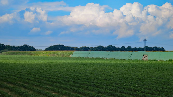
Erdbeeren field (strawberry).
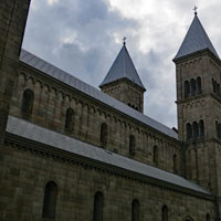
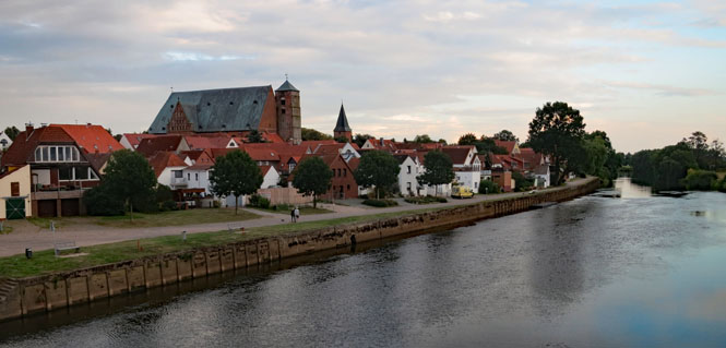
Verden an der Aller. I was intending to ride south along roads I hadn't been on before. I pulled into Verden to look for a likely hotel, but on seeing that cathedral knew "I've been here before." Well, the last time I entered from the south, and this time I entered from the north, so that's different, at least.
This is about as strikingly modern a hotel as you'd expect to see. It's as if they'd rather not even put up a sign for fear it might detract from the look of the thing. The bed has blue glow-lighting around the perimeter that would come on whenever I put a foot down. Clever.
Dom zu Verden was built starting in the twelfth century (these things take a long time to complete).
St Andreaskirche.
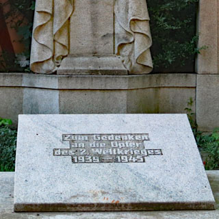
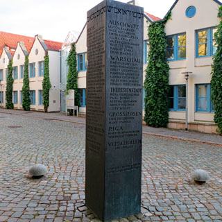
St. Johanniskirche. Next to the kirche is a monument to Jewish citizens of Verden who were sent to the death camps (along with which camp they were sent).
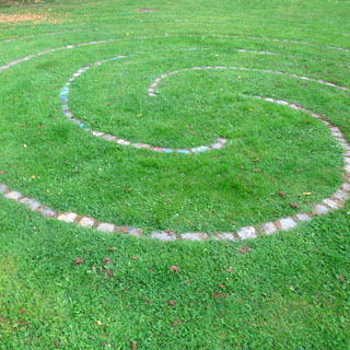
I know a labyrinth is meant for meaningful contemplation of higher things and not puzzle solving (as with a maze), but really, there ought to be at least a slight challenge to the thing.
I did wonder what the internal floors and walls to this house might look like. The leaning is so severe, that surely they'd have to do something to keep all the furniture from sliding to one end of the room.
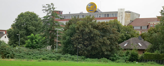
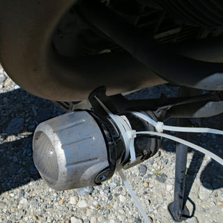
Lippstadt. What's this? It's the headquarters of HELLA KGaA Hueck & Co. They're the supplier to Moto Guzzi for the driving lights that have been the bane of all Stelvio owners. "High quality" is not normally used to describe these lights. "Hell" means "bright" in German. Should I demand to speak to the engineers? No; I guess not...
Anröchte.
Berghausen. I'm now running south on some pretty small roads.
Reiste.
Menkhausen.
Bracht.
My favorite roads: great pavement, but no center stripe (which usually means no traffic).
Diez. It's near a time for stopping, and this looks like a fine place to stop.
My room was more a studio apartment than a hotel room. It embarrasses me to say that I had to ask the landlady for a bath towel, and she smiled and pointed to the large flower on the bed. Oh...
The view from near the top of the Count's castle.
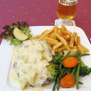
Beer and Schnitzel and potatoes. Of course.
Behla.
I'm on the southern border.
Switzerland
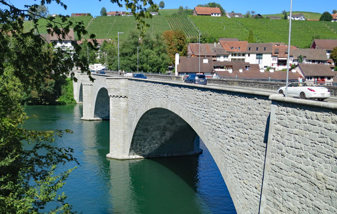
Rheinfall. I'd earlier seen the most powerful falls in Europe, but you might ask what falls are the largest if you don't include Iceland as part of Europe? That would be Rheinfall.
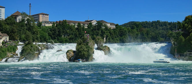
It's only when you notice the people (and two boats) that you get some idea of how big these are. Even so, they're not anywhere near as thunderingly scary as Dettifoss.
After the falls, the Rhine will behave itself all the way through Cologne and then to The Netherlands and the North Sea.
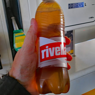
This is something of the national soft drink of Switzerland. It's not especially anything to go out of your way for, but I always have a bottle when I'm here.
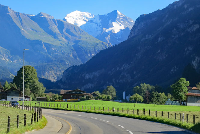
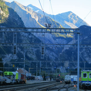
There's an old rail tunnel through part of the Alps starting in Kandersteg that I've never been on. That's where I'm heading.
That bridge carries the tracks as the rails work their way up the valley.
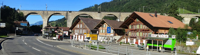
Kandersteg. There are no roads that can cross the mountain. The train tunnel is the only way south.
I keep track of my position on this laminated map so I'll have some idea of getting back to Mandello on the right day.
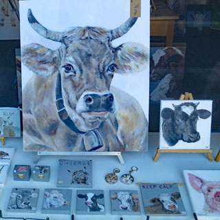
It's an art gallery with only one subject.
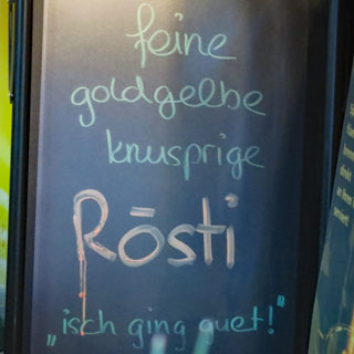
I guess I'll have the Rösti.
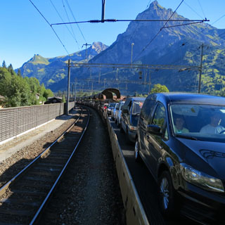
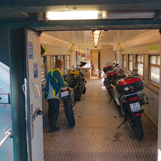
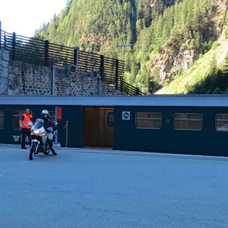
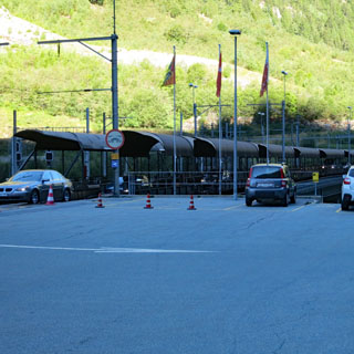
Lotschbergtunnel was dug in 1913 (at a cost of thirty-eight lives). The cars enter from the rear of the train and drive from car to car, all the way forward. Passengers stay in the car for the duration. Motorcycles are in the most forward car, and therefore load first. Ropes are provided, but the ride is so smooth, they probably are not required.
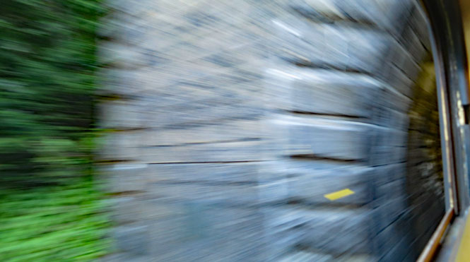
I wanted to catch the exact moment when the train entered the tunnel. The tunnel is nine miles long and takes twenty minutes to get through.
The southern end. From here the road winds all the way down to the Rhone Valley.
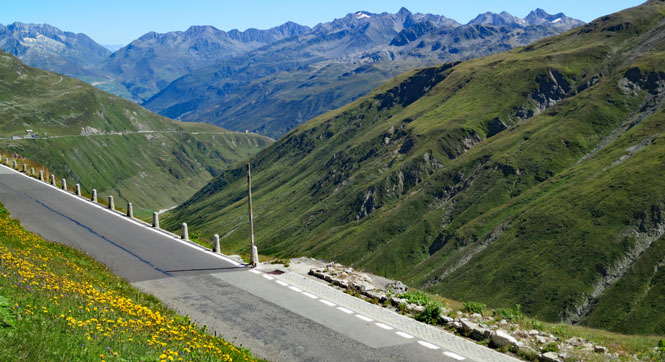
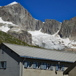
I've been on many of the Alpine passes of Switzerland on previous trips, but have somehow missed Furka--perhaps the most famous of them all. I'll do that now.
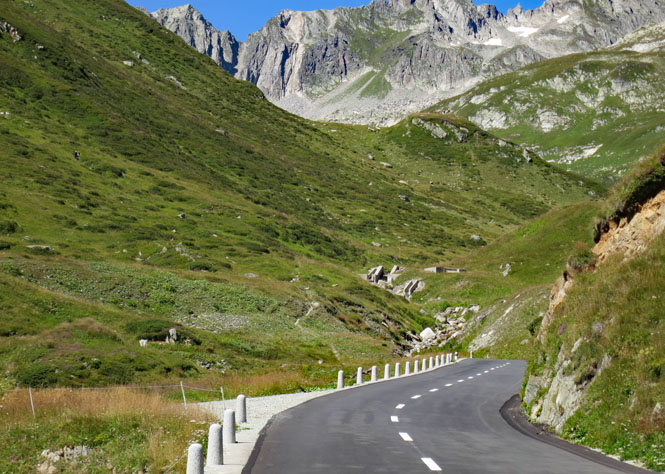
The ride up the valley seems a sensible start, but then the valley ends and the road starts to get serious about climbing.
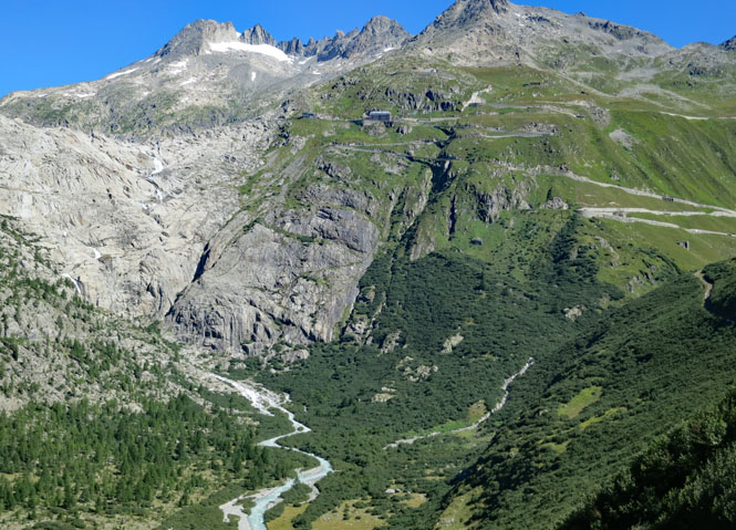
Looking back, that's Grimsel Pass on the right, and the start of Furka on the left. The memorial is a good reminder not to be stupid; there's nothing to be gained.
It cannot have been easy to build these roads. Very likely, foot paths have been here for centuries. You can sometimes see the old trail across the valley.
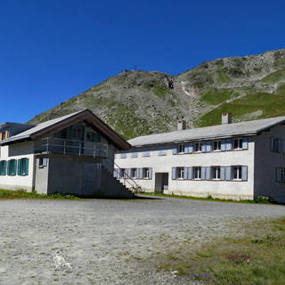
At the top are the old barracks once used by the Swiss Army (watching for invaders). Today, some of these buildings are used for high Alpine scientific work.
It's not really a classic pass, is it? There's a valley on each side of these mountains, but getting across from one to the other is hard work.
A bus and a truck were head-to-head on the road with not enough room for them to pass by each other. There was barely enough for my motorcycle to get by, but cars were stacked up on either side and stopped. I'll assume the drivers worked something out, but I kept riding. How do you convince a whole stream of cars to back up?
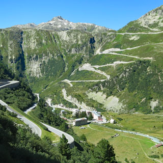
The next obvious route would be to cross south to Italy over St. Gotthard Pass, but I've been on that one enough. Instead, I'm going to cross over Oberalppass at Andermatt and then turn south across Molare Pass, which I haven't been on in several years. I like it better, anyway.
I stopped for the photograph (above) and then notice that both my driving lights are hanging down, held in place only by the electrical wires out the rear. Revenge of HELLA. This is why I carry extra zip-ties. If you check earlier pictures of the bike, you'll notice that the lights look fine. This probably happened today (although the now-failed bolts were slowly cracking for many miles).
Dötra.
The Ticino River Valley. I'm still in Switzerland, but you wouldn't know that by the names of the towns (and rivers), nor by the language that is spoken by everybody (Italian).
Italy
Lago Lugano. Heh; the fact that cars are doing their best to pass me along this shoreline drive tells me I'm now in Italy.
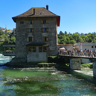
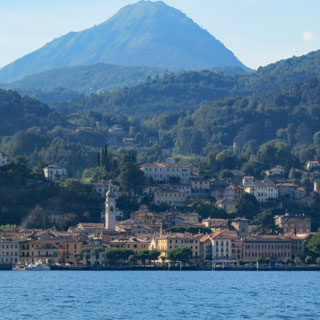
Menaggio. I'll catch the ferry to Verenna across Lake Como here.
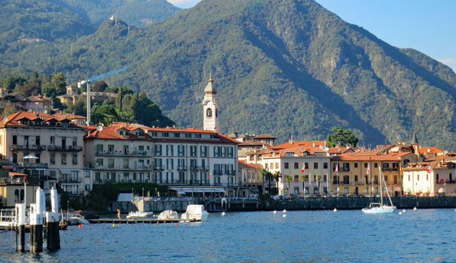
Lake Como and Verenna in the distance. I guess it's appropriate that I finish my trip with another ferry.
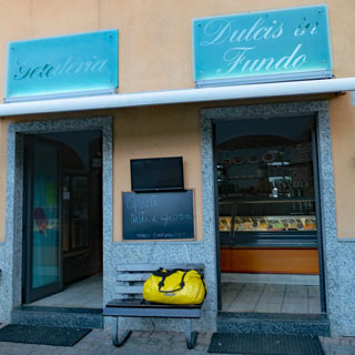
The Gelateria in Mandello del Lario. It's the best. The motorcycle is returned and I've repacked everything into the larger yellow duffle-bag.
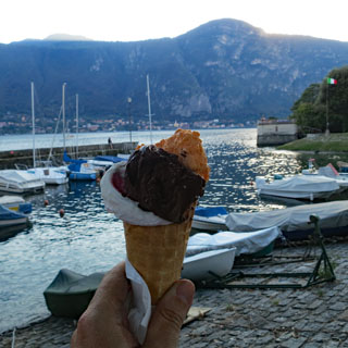
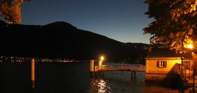
Evening in Mandello del Lario. That's Onno across the lake.
Arrivederci, Mandello.
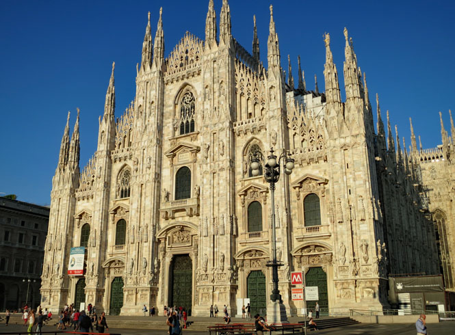
Milano. It's necessary to take the same photograph on every trip.
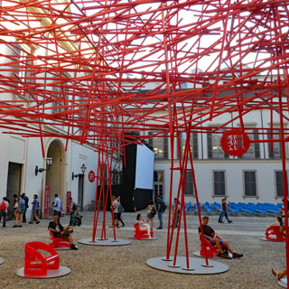
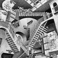
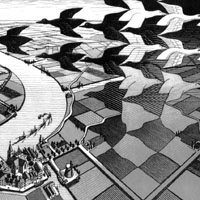
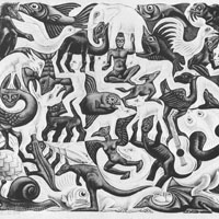
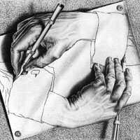
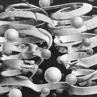
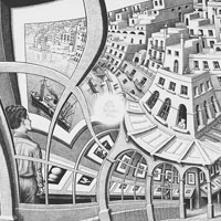
The palace (next to the Duomo) always has several new exhibits. Today is an exhibit of the prints of M. C. Escher.
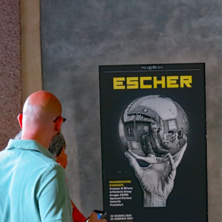
As is usual, photographs are not permitted in the special exhibits, but there were a few places a long the way where you were allowed to pull out your camera (or phone).
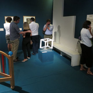
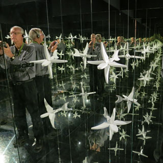
I didn't take photographs of these (instead pulling them off the web), but they were all here. Remarkable works; I learned quite a bit of Escher's techniques and what he was trying to achieve.
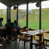
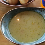
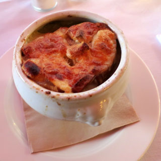
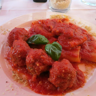
We'll finish the last evening in Milano with onion soup and some sort of meat ball / pasta creation.
This was one of my longer trips, but it never felt that way. Iceland is an amazing place.
Notes
- About 3,300 miles ridden (obviously, not riding on the ferry).
- 1,050 photographs taken (about half are used in this report).
- Iceland Roads has a useful website for current rode conditions. The reference map also will be the most accurate information for which roads are paved, and which are not. It includes links to multiple webcams that will let you know the current weather conditions.
- I had enough concerns about the availability of hotels in Iceland that I made reservations for each night. Perhaps that wasn't necessary; you might be able to do the loop and still find lodging each night.
- There is a temptation to over pack for cold weather. Iceland is just off the Arctic circle, but the summer weather is more like Scotland than you might expect. Multiple layers works well.
- Iceland is expensive. Hotels are perhaps double what you might expect to pay in Denmark or Germany. Food is about half again higher. Beer and wine is double what you'd pay in Germany.
- American credit cards will probably not be accepted at self-service stations. But, there's a 50/50 chance that your debit card will work. The best bet is to just buy a cash card. Fuel stations are common enough along the entire ring road.
- People often say this about Europe, and they're wrong; but, in Iceland, English really is widely understood and spoken.