December 9 - 11, 2017

I don't often have repeat destinations, but Big Bend National Park is an amazing place; it's worth visiting over and over.
 Texas
Texas
This is my fifth time here. I expected to stay just two days in the Chisos Mountain Lodge, but, on the second day I extended that to three days.
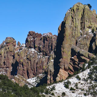
The ancient volcanic heritage of the Chisos Mountains is always present. The lodge is in the basin of the old volcano. It's an ideally central location for exploring the park and there are plenty of Chisos Mountain trails that begin just a few yards away.
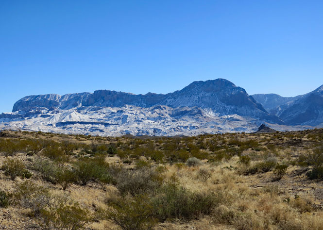
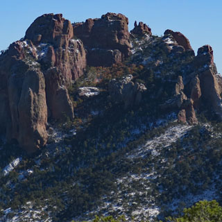
This is the view of the snow-covered Chisos Mountains from the west.
I wouldn't be repeating any of the trails I've done before, so there won't be any close photographs of the two places that are perhaps the most popular: Boquillas Canyon and Santa Elena Canyon.
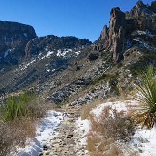
The Lost Mine Trail starts at the summit of the Chisos Basin Road (north of the basin).
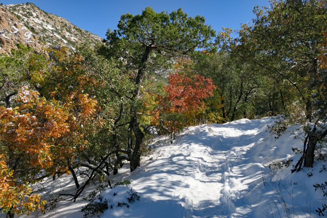
The day before, a large part of south Texas had far more snow than is usual--regardless of the time of year. Perhaps it was a record for the basin, but there is some uncertainty about that. In any event, I wasn't expecting to be hiking through fresh snow on the trail that was at times over a foot deep.
The trail isn't far (about five miles out-and-back), but it is pretty steep--particularly that last 1/4 mile before you reach the top.
The views are amazing; this is looking towards the southeast from the trail ridgeline.
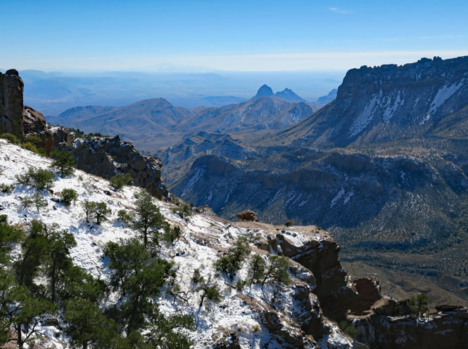
Looking west before starting back down.
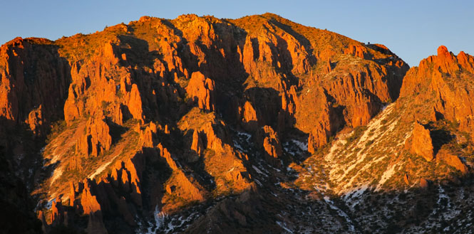
Sunset in Chisos Basin happens several minutes earlier than the surrounding desert floor. I've seen it before, but when that mountainside turns red it's always startling.
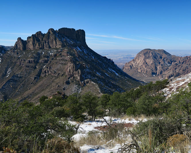
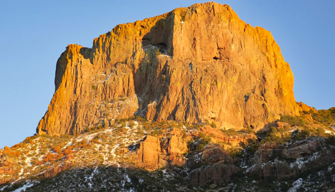
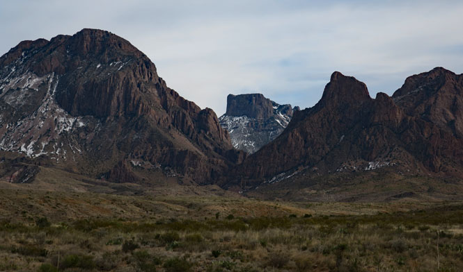
This is Casa Grande (elevation 7,550 feet).
I figured that any trails starting in the basin will be frozen (or muddy) today, so it make more sense to head outward, to lower elevations.
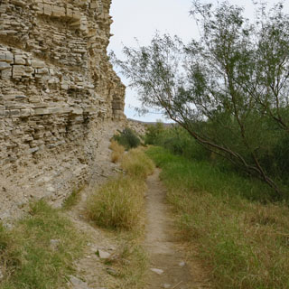
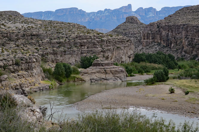
The Hot Springs-to-Daniel's Ranch Trail is about six miles, out-and-back. It generally follows the river, but often is far above the water due to the high cliffs.
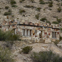
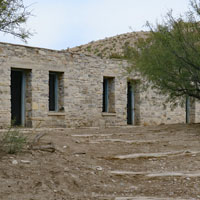
Years ago there was a hot springs resort at this location. Only the remains of a few buildings can be seen, today.
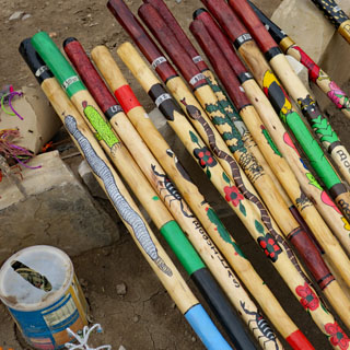
Walking sticks made in the Mexican village of Boquillas. Take what you want; leave the money in the coffee can.
I didn't come prepared (as these people did). I asked if the water was warm and was told that it was hot. That's Mexico across the Rio Grande.
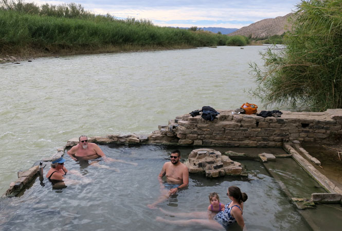
Mexico on the right, the United States on the left.
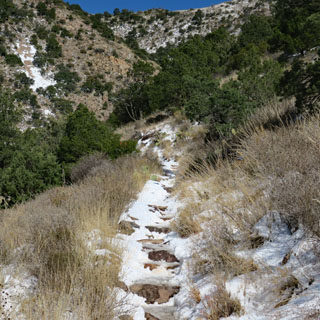
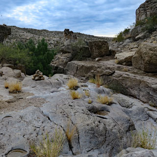
The trail wasn't always obvious, but there were enough built-up cairns that staying on it wasn't a problem.
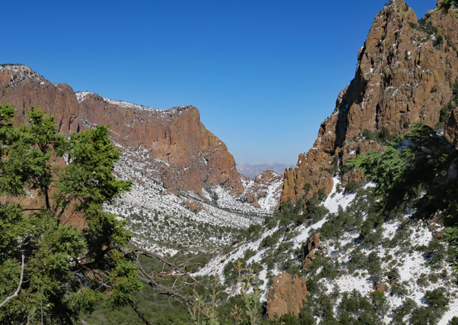
Looking back at the Chisos Mountains from the southeast (the Lost Mine Trail is on the ridgeline on the right side).
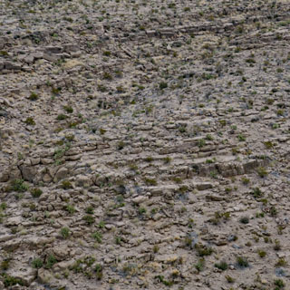
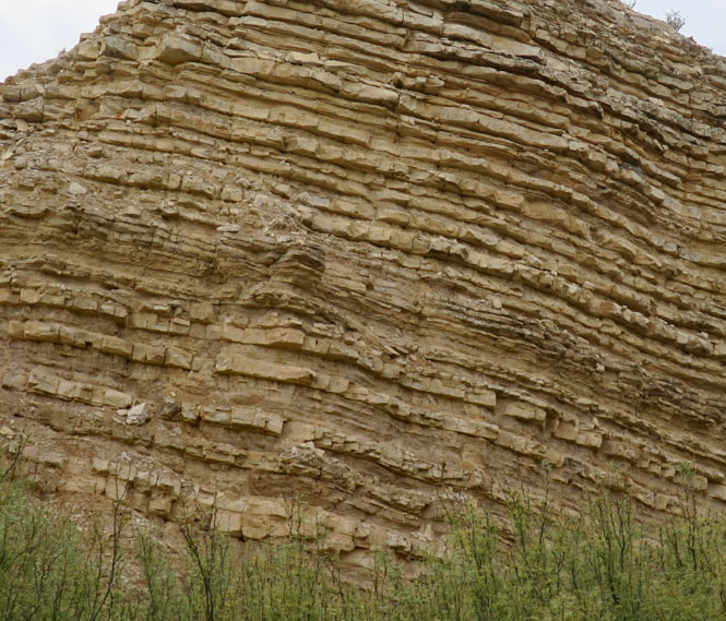
In these rocks, the trail isn't hard to follow, but if you were to wander too far from it, you might have some difficulty finding it again.
Looking west from a high-point on the trail.
The Window is a gap in the basin wall that forever keeps this from being called Chisos Lake. The feature you see through the window (the V-notch) is the same Casa Grande as seen several photographs above.
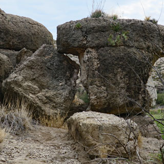
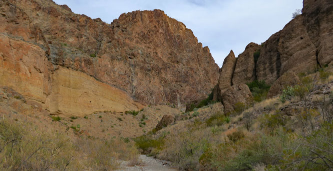
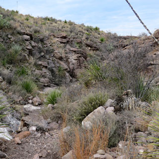
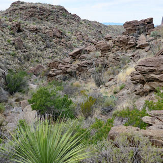
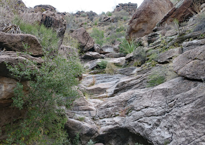
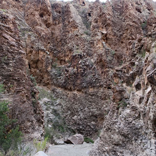
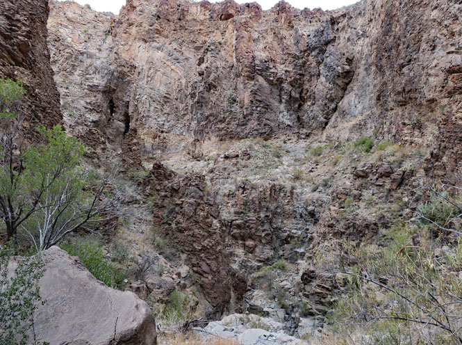
The Lower Burro Pour-off Trail takes you to the bottom of the creek that defines the "pour-off."

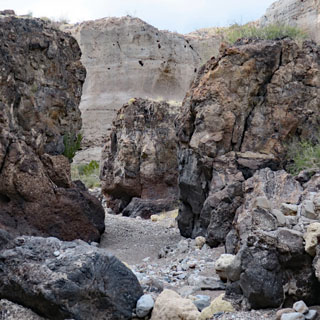
The trail takes you up a box canyon that would not be out of place in a Zane Grey novel (except there were no outlaws shooting at me).
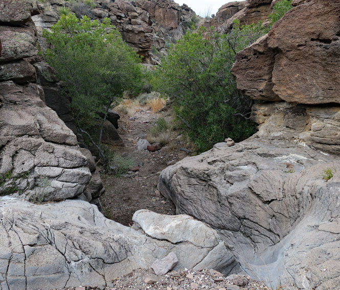
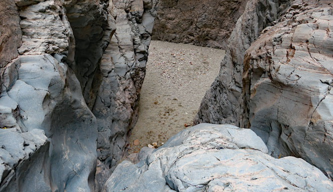
At the end of the canyon...
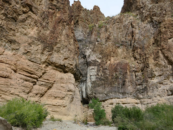
...is the pour-off. The water (when there is water) starts at the top of the grey rock and drops a considerable distance to the sandy floor I'm standing on. Take note of this; I'll be up there, tomorrow.
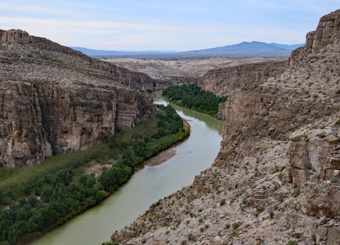
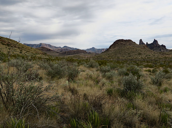
That's Santa Elena Canyon in the distance (at the notch in the mesa).
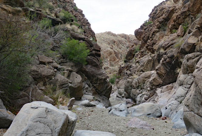
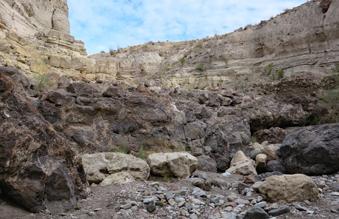
Upper Burro Pour-off Trail was recommended to me by one of the rangers. Curiously, it's not listed in the trail guide that's in the hand-out, although the parking area is clearly marked on the road. But, I would come to understand why they might not want too many casual visitors to go marching down this trail.
It begins easily enough.
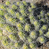
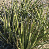
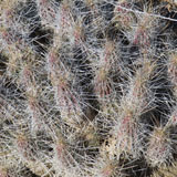
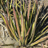
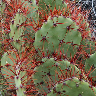
Avoid brushing up against either of these.
Pretty soon the trail requires a bit more care. It's no longer level.
See that small stack of rocks towards the right? That's the easier path. The (seemingly) obvious straight-ahead route is not going to be as easy.
Looking back up the trail that I've just come down.
More natural rock steps to go down.
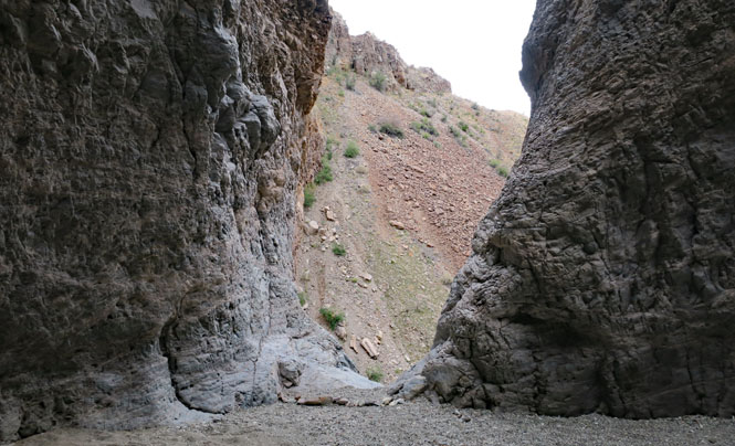
Things are getting more narrow and more steep.
Oh...
...looking back up the trail after I've come down. It would take a bit longer to figure out getting up.
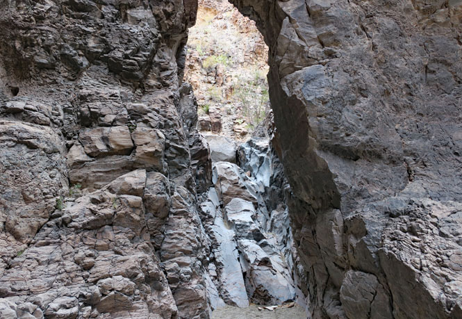
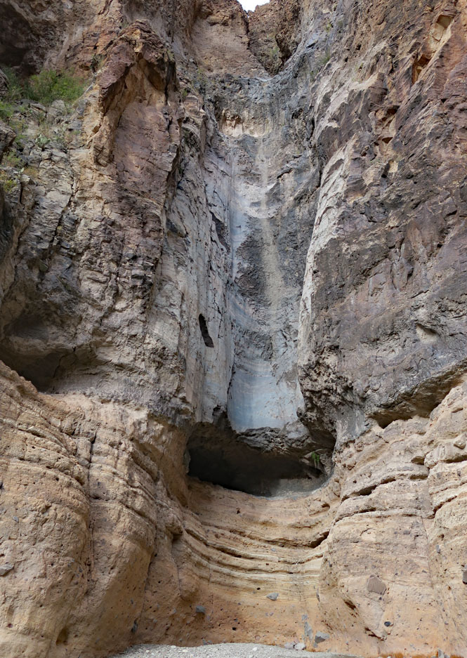
At the end. I know enough not to walk past that small string of rocks at the opening; it's a very long way down. This is the same spot that I saw yesterday from below.
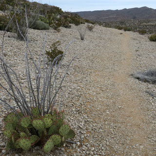
Mule Ears Peaks Trail is named for the distinct formation on the right. I only walked about a mile down the trail before returning to attend to a blister on my left foot that was annoying me, and would only get worse if I did nothing about it.
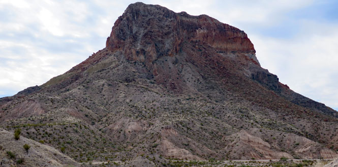
Castellan Peak is not far from the tiny village of Castellan (which has supplies in the small store to help with blisters on your left foot).
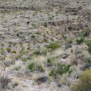
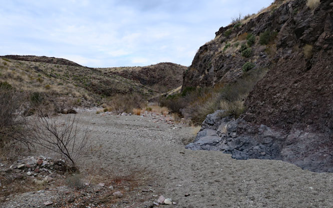
Tuff Canyon (and Blue Creek). This is an unexpected narrow canyon not really that far from where the Blue Creek eventually enters the Rio Grande.
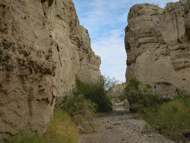
Upstream, the water flow is impeded by this tongue of hard lava. Water won't cut through this nearly as easily as the rest.
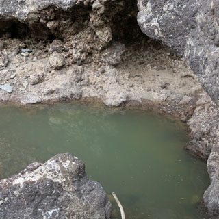
I'm surprised to see a pool of water. I wonder if this is here all the year around?
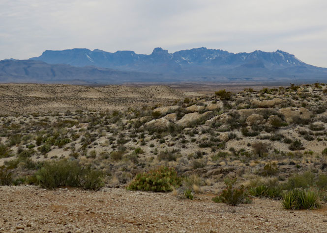
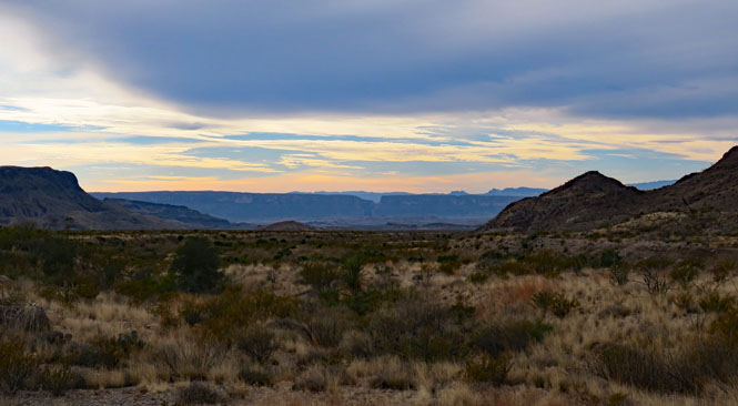
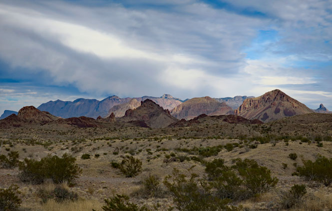
A final view of the Chisos Mountains from the southwest.
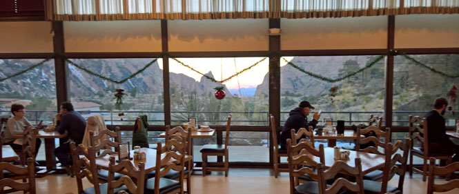
The last breakfast in the lodge before heading back north (my hat is on the table under the red ball).
I've not nearly seen what this area has to offer.
When lists are made of the most visited national parks, Big Bend is often listed last. But, if you were to list all the parks in the order of things to see that you'll not see in other places, it would be nearer the top. I'm sure I'll be back.