March 17 - 18, 2017

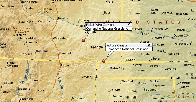
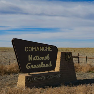
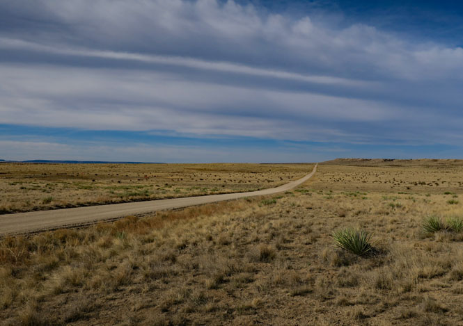
Comanche National Grassland is in southeastern Colorado covering some 440,000 acres over two units. La Junta and Springfield are the only two towns in the region that have any services; this is a remote area.
 Colorado
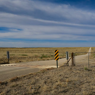
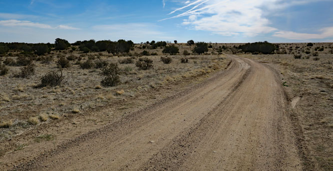
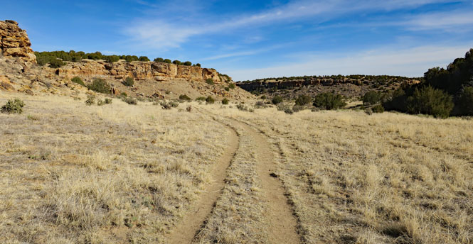
I'll be visiting the northern unit first, then the southern unit the next day. All the roads are unpaved, so it takes a bit more time getting around.

The Santa Fe Trail once came through this area, connecting Spain (then Mexico) with the United States. Afterwards, the area was sparsely settled in the 1870s. In the best of times, it would have been a challenge to live here. You'd need to be completely self-sufficient, and probably would be hanging on from year to year. The dustbowl years were the final blows to the few families that had made it that far. The land became a National Grassland.
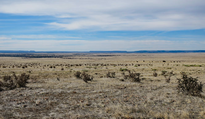
You could walk a very long way and never come to even a paved road, let alone a town.
The roads from the paved highway (CO-109) are actually pretty good.
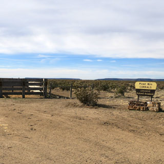
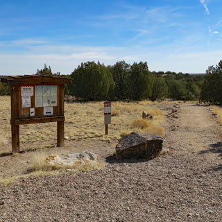
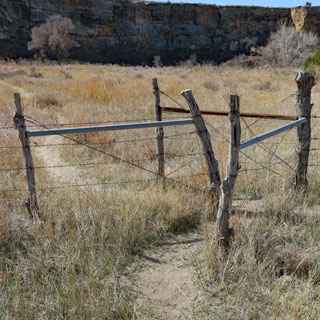
The map says this spot is Picket Wire Corral. It was unexpected to find that there really is a corral here.
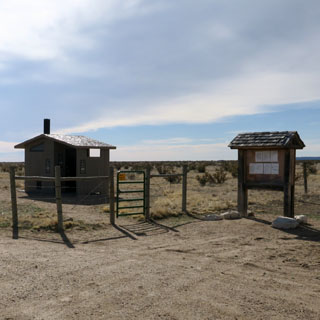
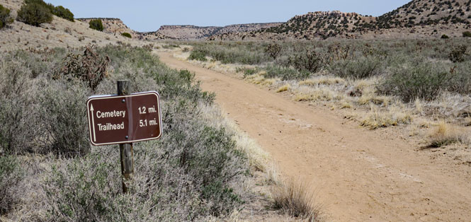
The trail-head is a few more miles down the (rougher and narrower) road.
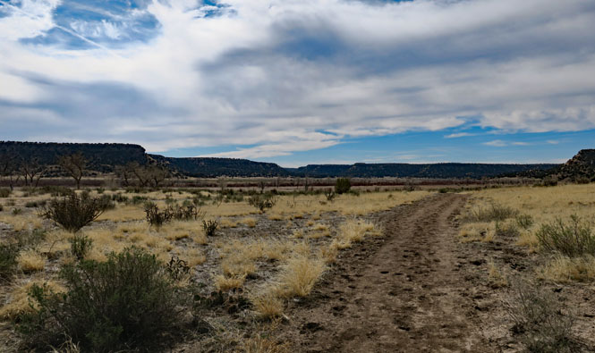
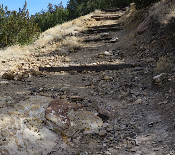
The start of the Picket Wire Trail.
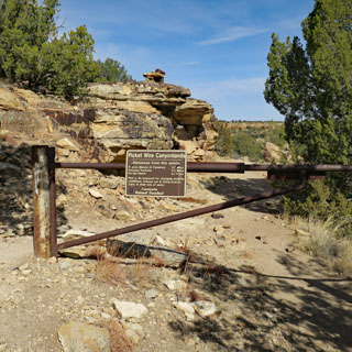
It's a good drop to the canyon floor. This trail is open for horses (however rough it might look), but I didn't see any on this trip.
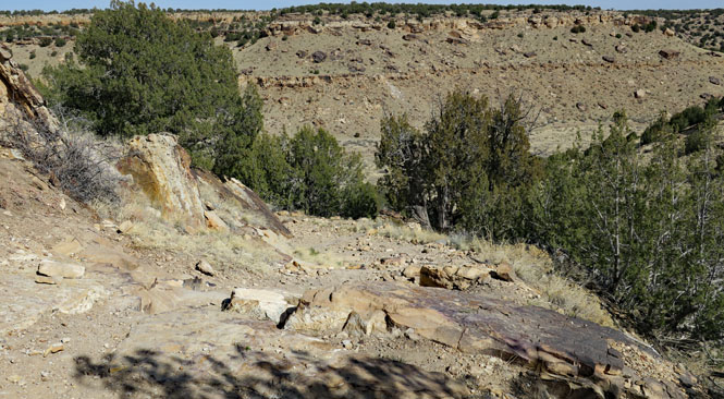
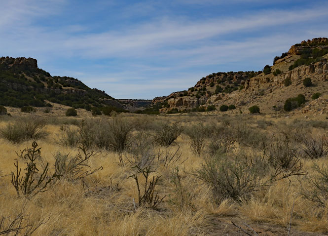
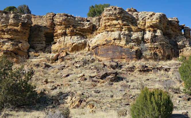
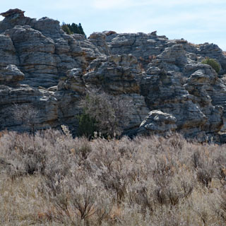
This is a side-canyon that leads to the main canyon of the Purgatoire River (the name was later mispronounced to become Picket Wire).
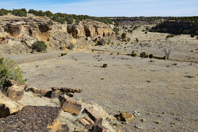
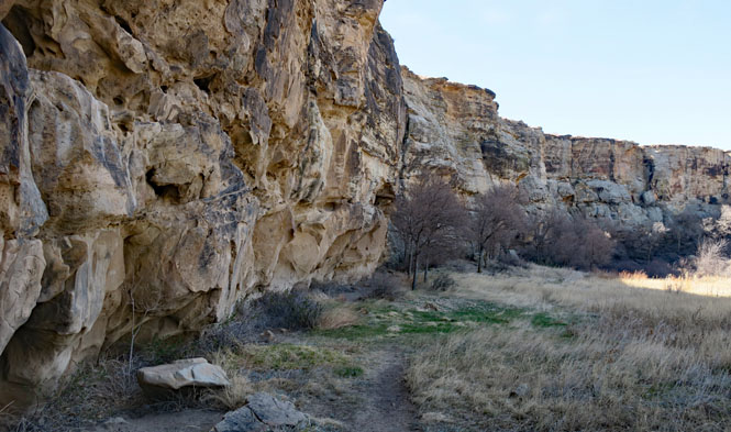
It's nice to walk on level ground after coming down the steep canyon wall.
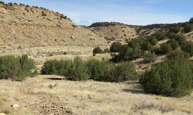
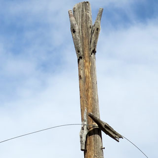
The trail is well marked; you really cannot get lost here. There is no cell phone service.
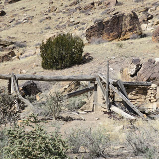
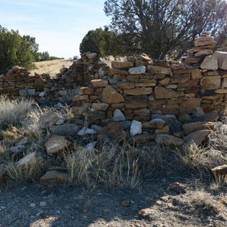
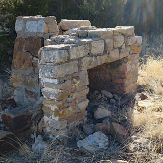
There is still evidence of the people who tried to make a living in the canyon in the late 1800s and early 1900s. You'll see the remains of a few buildings.
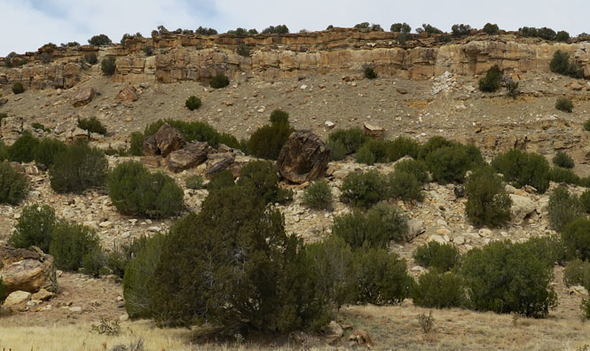
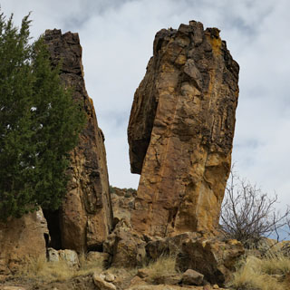
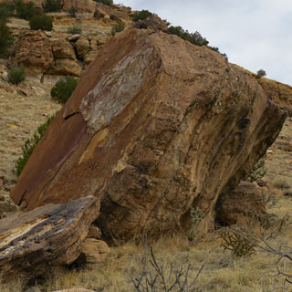
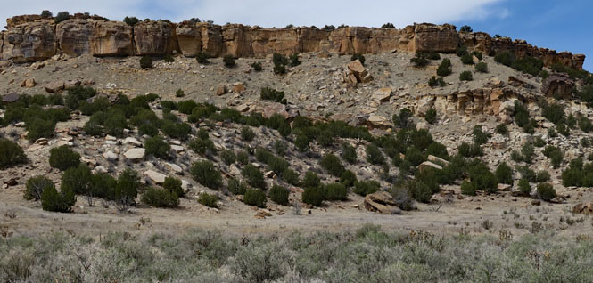
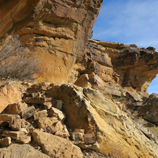
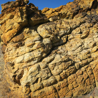
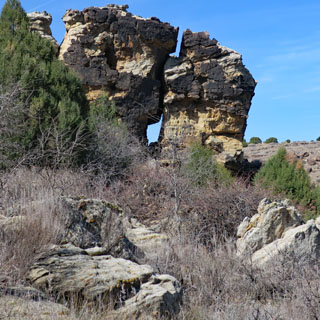
It must be something each time one of these large rocks decides to break free from the cliff and roll down. I'm not sure I'd want to have a house in their path, but that's where they are.
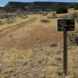
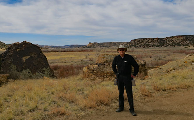
A pair of liter bottles hanging from my belt and a few granola bars in my front pocket is all I'll need for the twelve mile out-and-back walk. It's a beautiful morning for it, and the area is certainly never crowded.
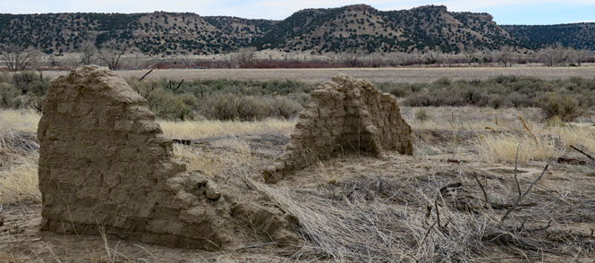
Two adobe corners remain; you can just see the opening of a well (to the right).
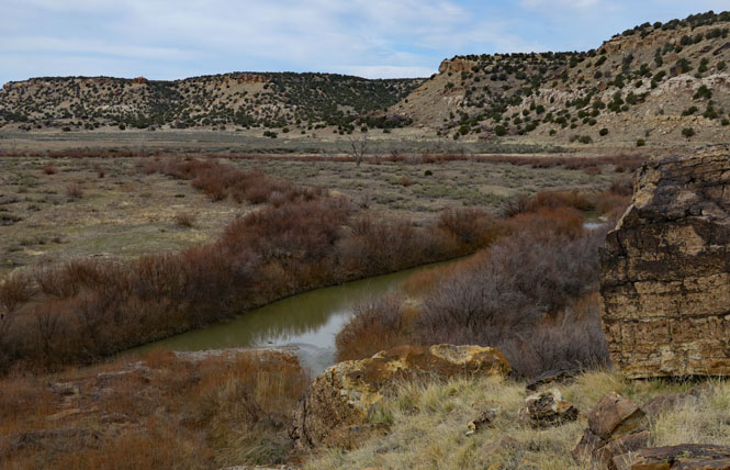
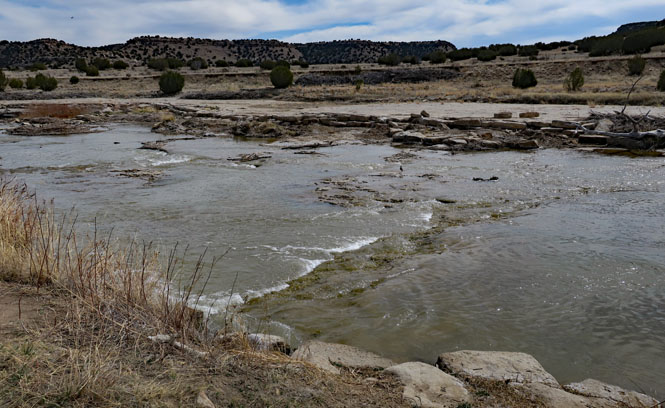
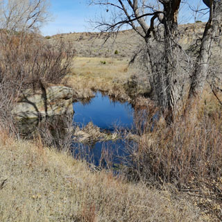
The Purgatoire River is what made living in this valley possible.
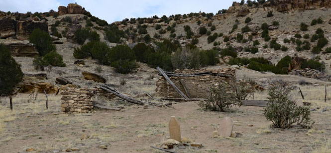
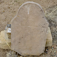
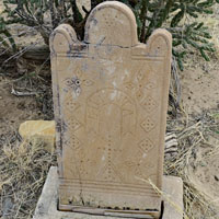
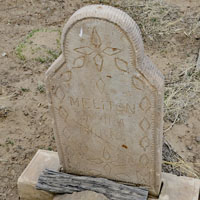
This church was built in the late 1800s (the Catholic church donated this small parcel to the Forest Service in 2007) Most of the headstones are for children. Life here would have been very difficult.
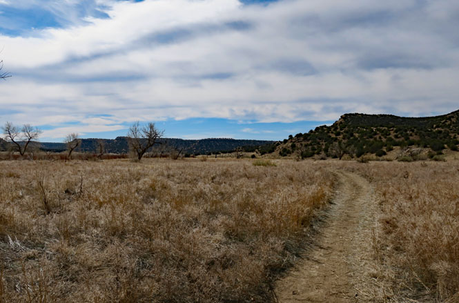
Continue walking up the valley.
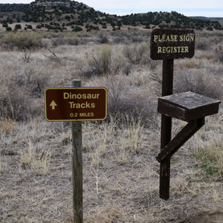
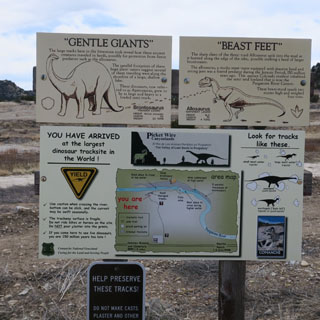
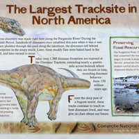
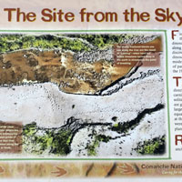
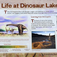
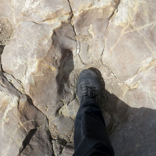
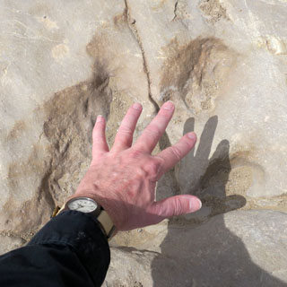
The Purgatoire River Dinosaur Tracks Site. Some 150 million years ago, dinosaurs walked the muddy ground along a shallow lake. The helpful signs explain what the tracks mean and which types of dinosaurs made them. Scientific research continues to be done here, and recently the known area of tracks has been expanded.
The river uncovered the tracks, but the river could also erode the tracks away, so you'll see rocks placed along the ancient mud bank to limit the damage.
It looks like fresh mud, but it's hard rock.
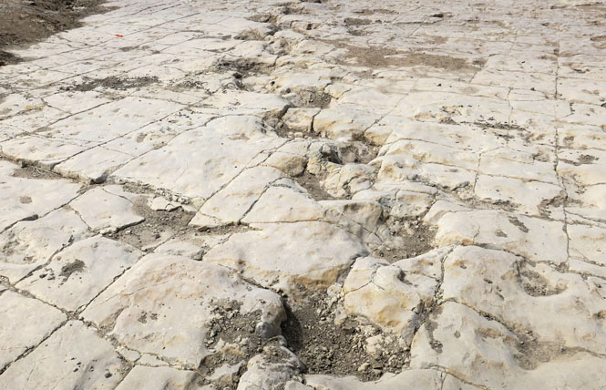
I learned from the signage, that the creature who made the tracks on the left (with my foot) is a large plant eater, while the smaller creature who made the tracks on the right (with my hand) is out hunting for meat.
It's time to turn around and take the same path back to the trailhead.
Turning back up the side-canyon.
Returning up the steep trail takes much longer than it did coming down.
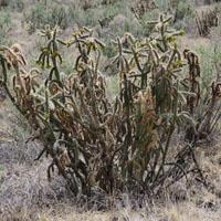
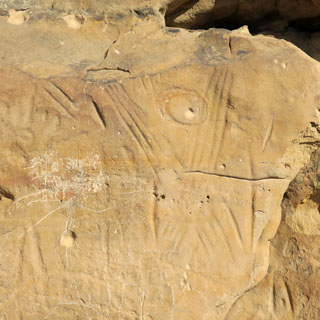
Vogel Canyon is a few miles from Picket Wire. It's especially known for the prehistoric artwork on the canyon walls.
This was once a stage route connecting with the Santa Fe Trail.
This was the last house (and barn) of the families who once lived here. The house was occupied into the 1930's, but the dustbowl years ended it all.
Picture Canyon is found in the southern unit of the National Grassland. It's right on the Oklahoma border.
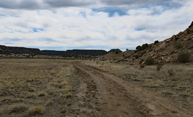
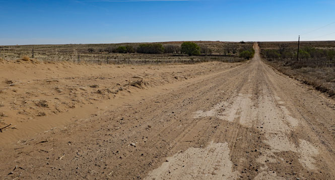
You'll be on many miles of dirt roads to get there.
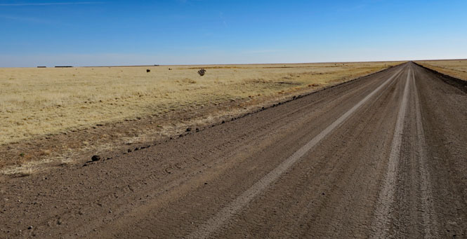
I wouldn't want to be on this road after it rains.
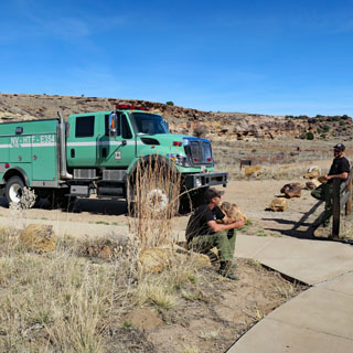
At Picture Canyon. This fire crew had come from Las Vegas, Nevada to help with the prairie fires in Oklahoma and Kansas. They were in the grassland to help with maintenance.
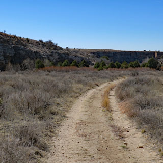
This canyon, too, has quite a number of ancient pictures that have been carved into the walls. Unfortunately, there are even more that have been carved by unthinking and uncaring people of today.
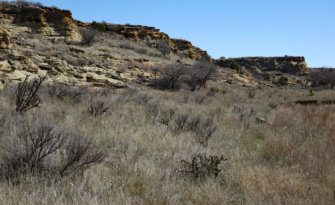
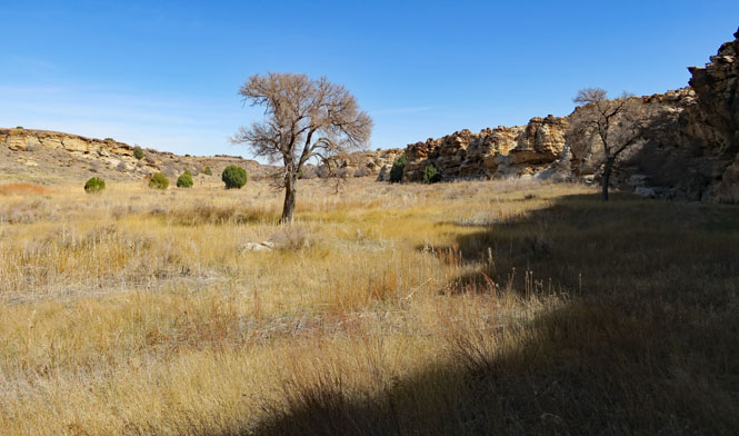
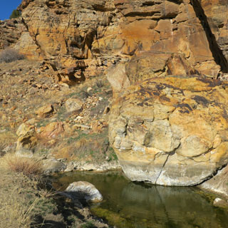
There are springs here (as there were at Vogel Canyon). The wide short grass prairie might seem to be inhospitable, but if you know the land, there is water.
It would take days to see it all; I've only seen a small part. Comanche National Grassland is an amazing place.