May, 2018

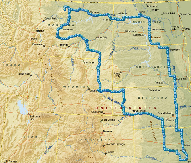
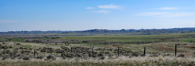
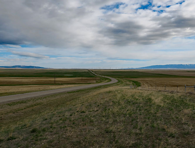
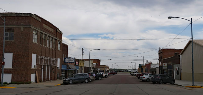
Judith Gap is between two mountains in central Montana: the Little Belt Mountains and the Big Snowy Mountains. It is the natural north-south route that has been used for centuries, perhaps most famously by Chief Joseph and his bands of Nez Perce during the Nez Perce War of 1877.
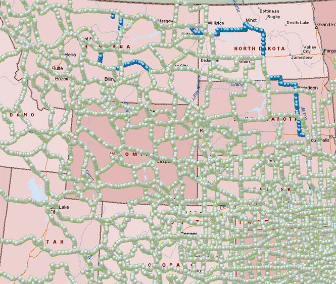
 US-191 is the highway through the gap; it's a
bit of road I've not ever
ridden. That's my goal for this trip. The rest of this seemingly
random route was the result of avoiding rain (as best I could), although I did manage
to hit a few more stretches of roads that were new to me (especially in North
Dakota).
US-191 is the highway through the gap; it's a
bit of road I've not ever
ridden. That's my goal for this trip. The rest of this seemingly
random route was the result of avoiding rain (as best I could), although I did manage
to hit a few more stretches of roads that were new to me (especially in North
Dakota).
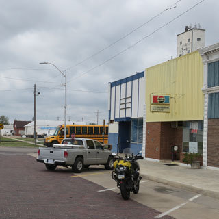
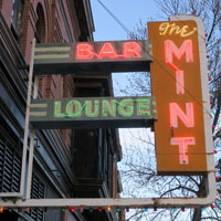
 Kansas
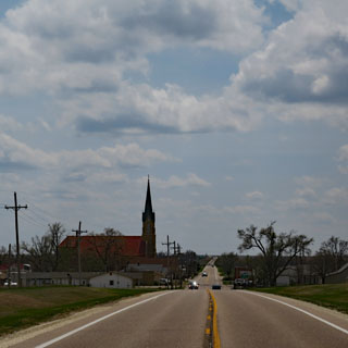
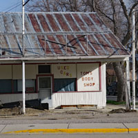
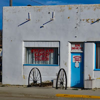
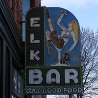
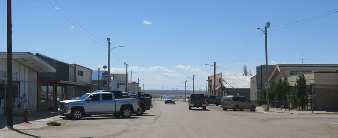
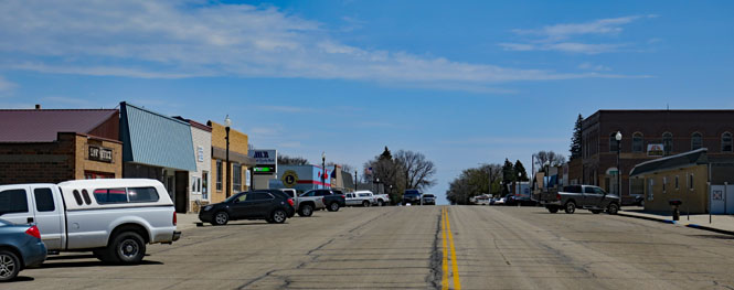
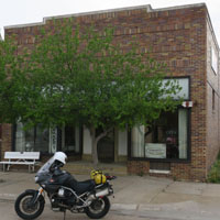
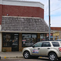
Nickerson, Kansas. It's an unfortunate thing that many of the small-town cafes in the Great Plains are either going out-of-business, currently out-of-business, or just opening up for yet another try at it. I caught the Sunshine cafe for breakfast on a day that it was open for business.
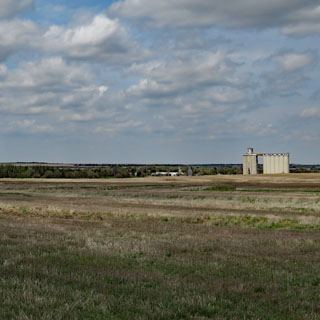
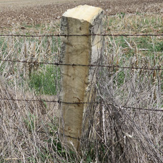
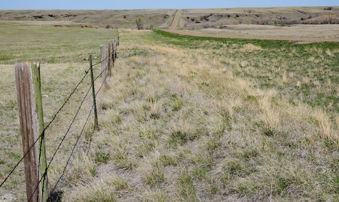
This is post-rock country. You don't need much imagination to know how treeless this area once was. You want fence posts? Then, cut them out of the ground.
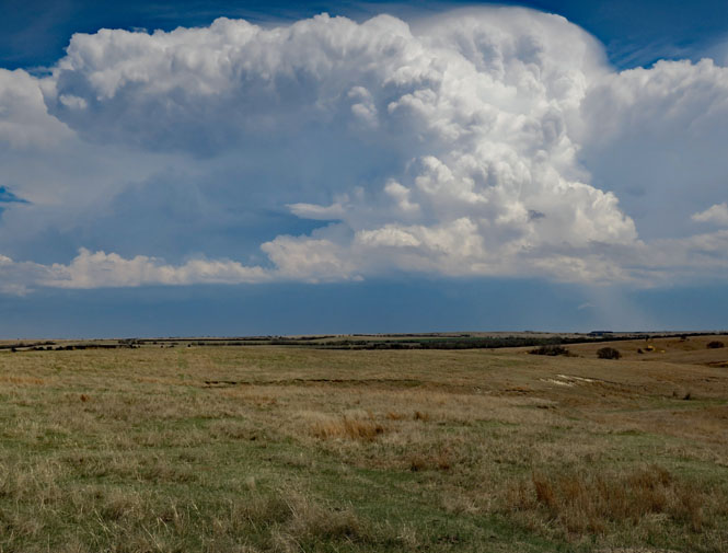
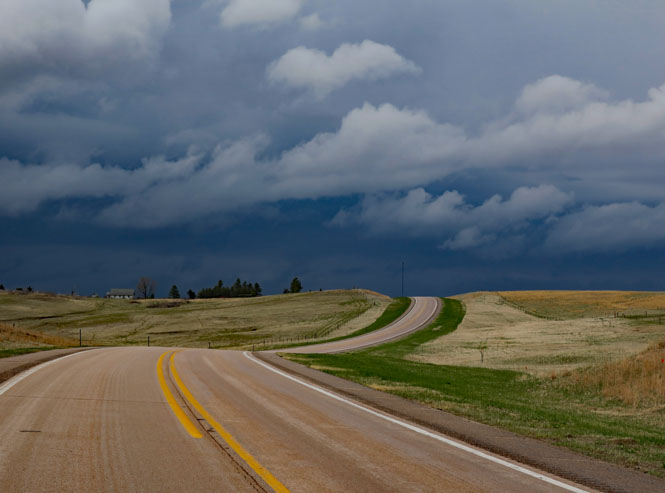
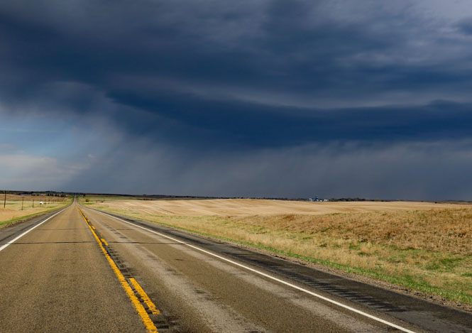
I'd be riding in a strong forty mph tailwind that would switch round to a strong forty mph headwind within just ten miles. Crazy weather. Later that night I'd hear that the storm you see (below) contained a few tornadoes as well as golf ball size hail. I avoided anything too serious.
 Nebraska
This time of year, you've got to expect anything. It's pretty cold; it's staying in the high thirties all morning.
Add a little rain...
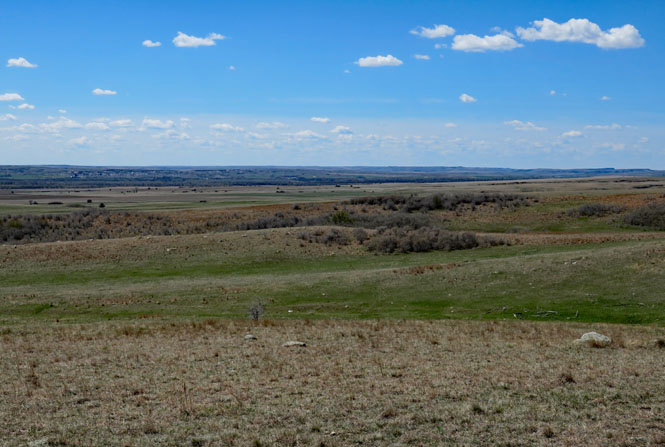
I do like the panhandle region of Nebraska. Except for the map, you'd figure that you were in Wyoming. Even the time zone is Wyoming time (not Omaha time). I'd even suppose that the locals cheer on the Wyoming Cowboys over the Nebraska Cornhuskers.
I'd be leaning over because of the strong side-wind while the clouds are moving in a different direction. Strange.
A little bit of sun is welcome.
Wyoming
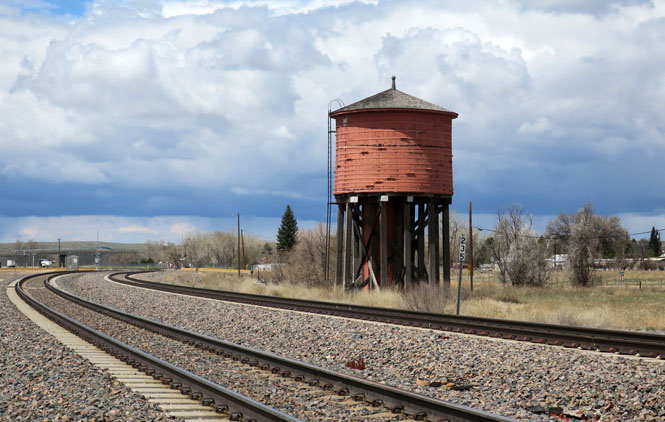
Lusk, Wyoming water tower (built 1886). There are not many existing wood water towers that have not been dismantled. This one looks in fine shape. Evidently, the tank is made from Redwood.
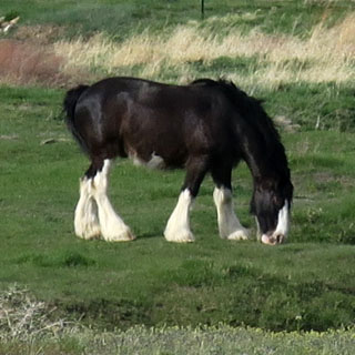
Keep a watchful eye for Pronghorns. They're extraordinarily fast, but they don't know how to jump fences.
If you've ever ridden through coal-country in West Virginia, you'll wonder why they even bother when compared to the vast operations in the Wyoming Thunder Basin.
 Montana
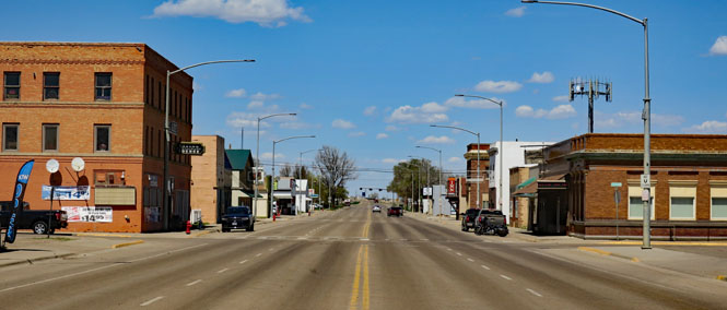
Broadus, Montana. I guess I'm just unlucky, but every time I've been through Broadus, I've had to ride several miles of road-construction dirt. No matter; it's smooth enough. The wait at the light is about thirty minutes.
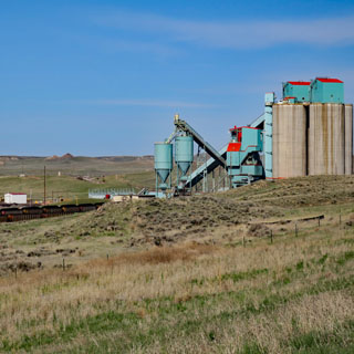
Colstrip, Montana. This might look like a large operation, but compared to the Wyoming mines, it's pretty small.

The tracks into Colstrip don't look much used. Perhaps most all the mined coal is consumed by the power station.
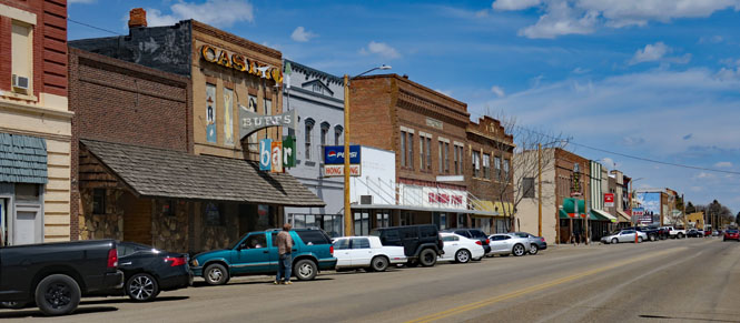
Forsyth, Montana.
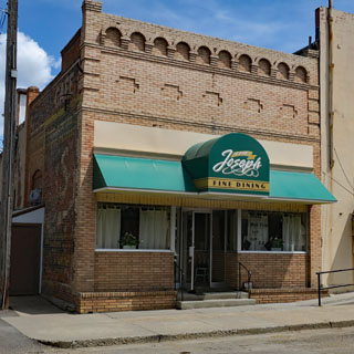
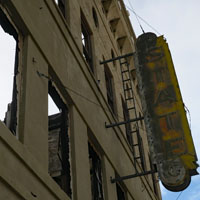
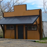
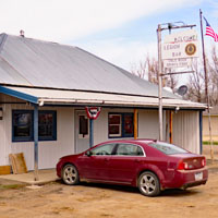
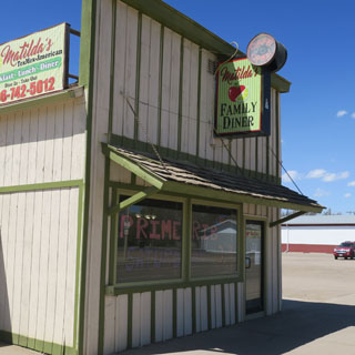
Fine dining (as it says) at the Joseph Cafe.
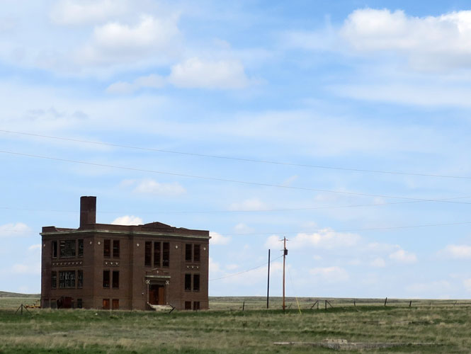
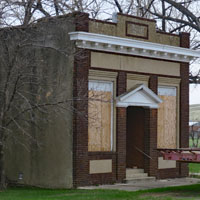
Vananda school (built 1920). These remote towns live and die with the railroad. The railroad has long pulled up the tracks, so the town is gone as well. It's likely that the land didn't turn out to be so bountiful as was first advertised, either.
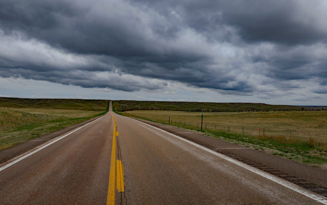
You don't need to worry much about traffic in this part of Montana; but, you'd best keep your tank filled when you have the opportunity. The small towns might have fuel, but you shouldn't count on the station being open.
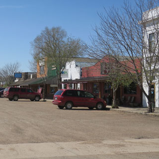
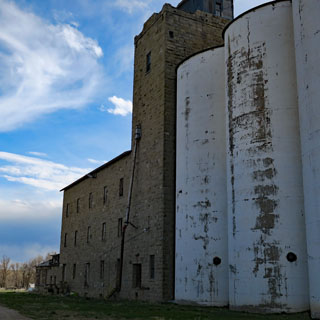
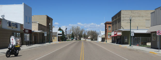
Roundup, Montana.
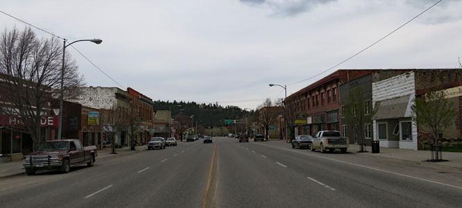
Harlowton, Montana.
Harlowton once had a roundhouse and was the center of railroading in this part of Montana. I believe the high school team is called the "engineers." But, there are no trains through Harlowton.
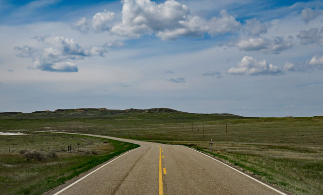
Morning at the Harlowton cafe. This is where I'll turn north towards Judith Gap.
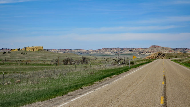
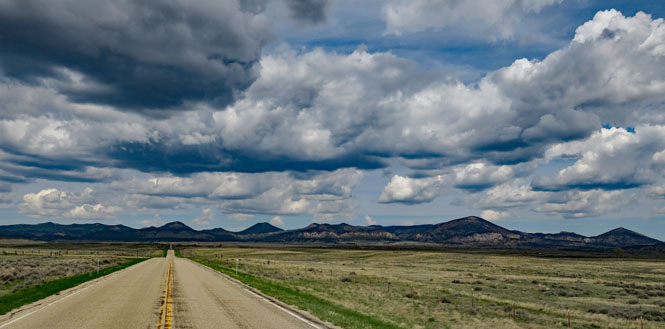
Looking south to the Beartooth Mountains. I don't expect the self-named pass is open yet.
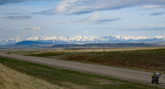
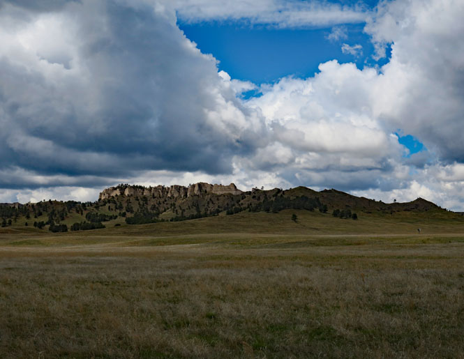
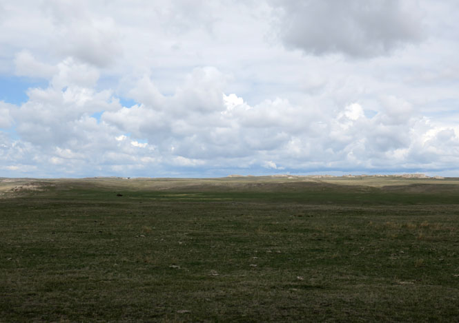
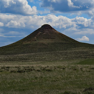
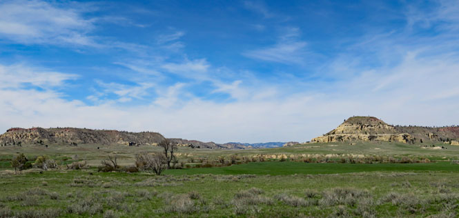
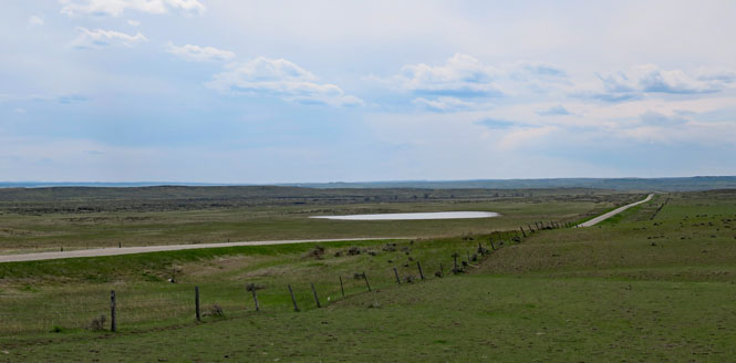
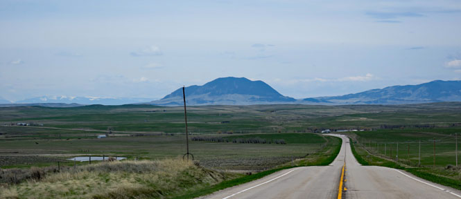
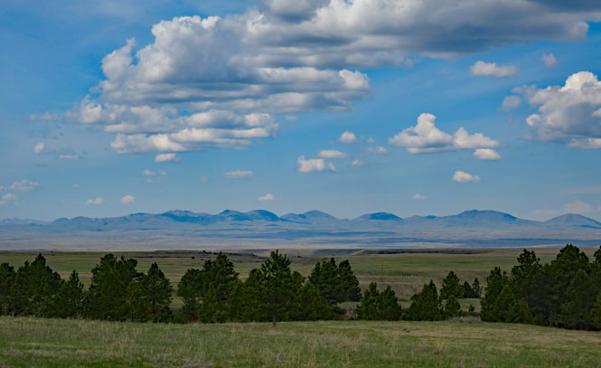
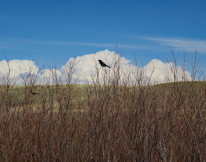
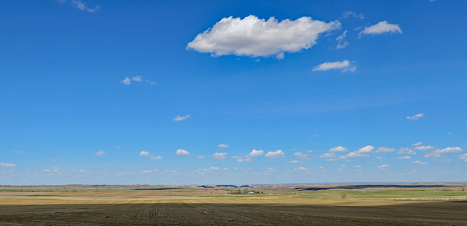
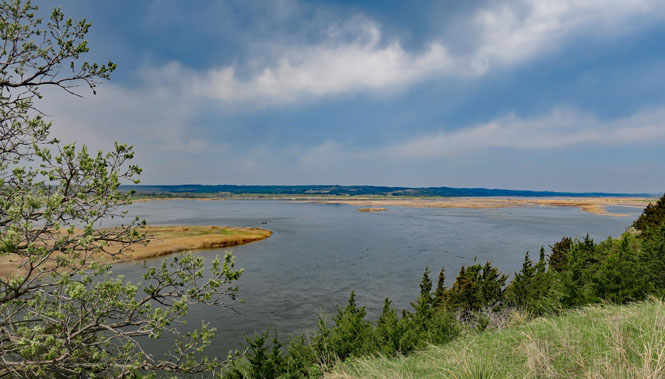
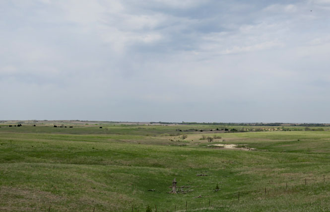
That's the Little Belt Mountains (on the left) and the Big Snowy Mountains (on the right). This is Judith Gap, straight through the middle.
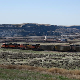
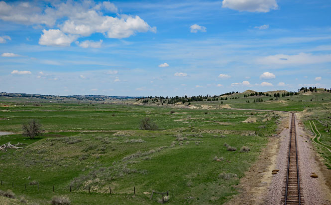
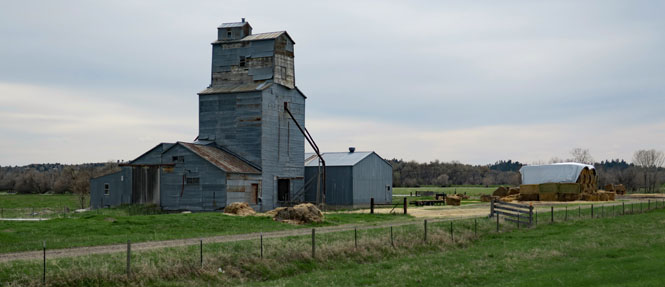
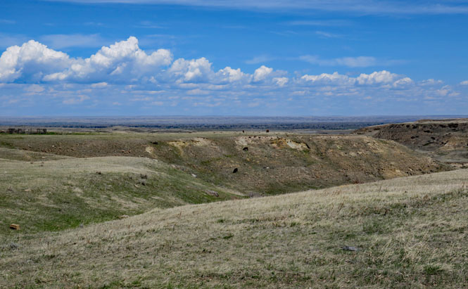
Judith Gap, Montana. There is rail traffic through the gap.
It seems that Judith Gap, Judith Mountain and Judith River were all named by William Clark (of Lewis and Clark fame) for Julia "Judith" Hancock of Virginia. As young Judith did eventually marry William, his plan worked.
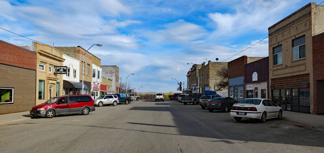
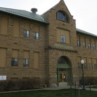
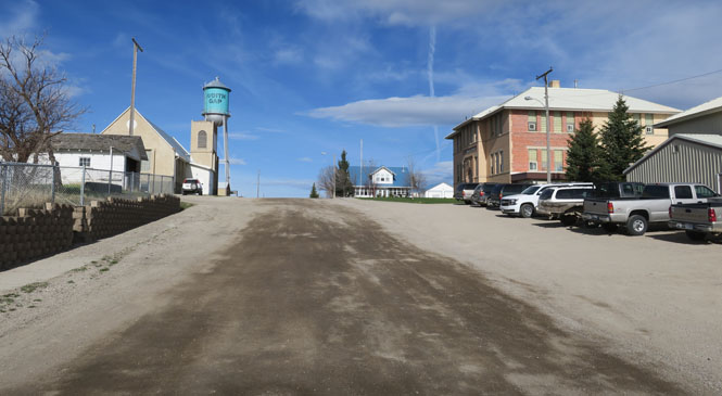
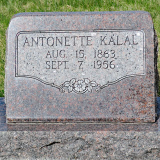
Lewistown, Montana.
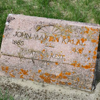
Lewistown Cemetery. My great-grandmother, Antonette (Benda) Kalal was born in Radětice, Bohemia in 1856. She emigrated to Chicago and then moved (with her children) to Roy Montana, which is not far from here.
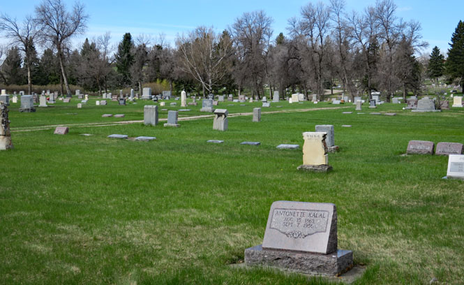
It's a large cemetery, and I was not optimistic about finding the marker; but, I walked right to it within five minutes of starting my search. John Martin is one of her sons.
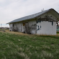
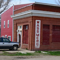
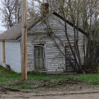
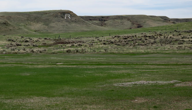
Roy, Montana. It was never large, but it was once much more than this.
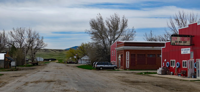
'R' is for Roy.
My grandfather (one of Antonnette's sons) was a founding member of the American Legion Post of Roy (which was once named for him), but these days it's just the Legion Bar, without any connection to what it once was.
Looking south towards the last peak of the Judith Mountains. Roy is just to the right (out of the photograph).
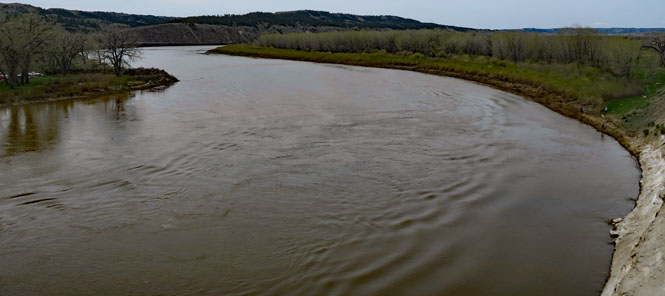
The Missouri River. The water is very high.
The Little Rocky Mountains, riding north.
The Bear Paw Mountains. We're not far from the end of the Nez Perce trek towards Canada and freedom. Most would never make it across the border.
Looking north over the Milk River valley.
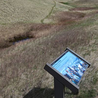
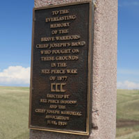
 Nez Perce National Historical Park, Bear Paw Battlefield
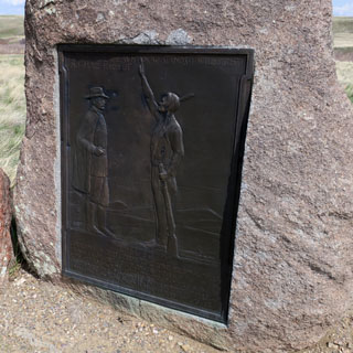
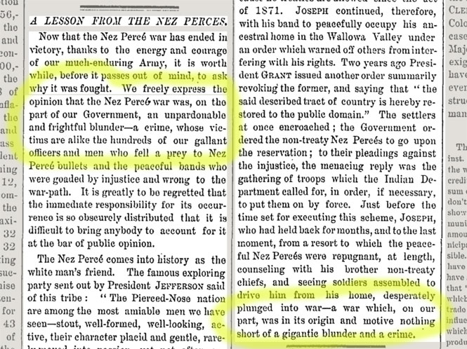
The Bear Paw Battlefield. The Nez Perce were only forty miles from Canada, but after so many escapes from the army, they were engaged in a siege battle that they could not win.
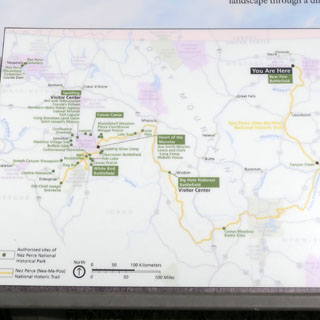
The map (on a display board) shows their long walk from Oregon, Washington and Idaho to this spot, just south of Canada.
Tell General Howard I know his heart. What he told
me before, I have it in my heart. I am tired of fighting. Our chiefs are
killed; Looking Glass is dead, Too-hul-hul-sote is dead. The old men are all
dead. It is the young men who say yes or no. He who led on the young men is
dead. It is cold, and we have no blankets; the little children are freezing
to death. My people, some of them, have run away to the hills, and have no
blankets, no food. No one knows where they are—perhaps freezing to death. I
want to have time to look for my children, to see how many I can find. Maybe
I shall find them among the dead. Hear me, my chiefs! I am tired; my heart
is sick and sad. From where the sun now stands, I will fight no more
forever.
-- Hinmatóowyalahtq̓it (Chief Joseph)
The stone (third photo below) marks where one of the Nez Perce leaders fell. You'll see little trinkets and mementos at other such markers (as is the case at all Indian battlefields I've been to).
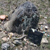
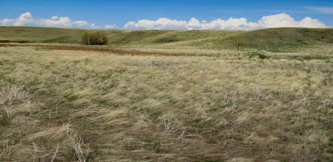
This land must be as close to what it once was as could be expected. The nearest town is Chinook, twenty miles to the north. The road to the south soon turns to dirt, so you won't hear any traffic. All I heard were the many birds.
And editorial from the October 15, 1877 "New York Times" published soon after the final events became known:

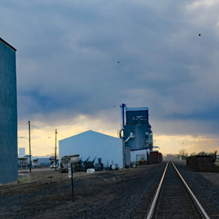
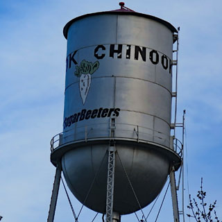
Chinook, Montana.
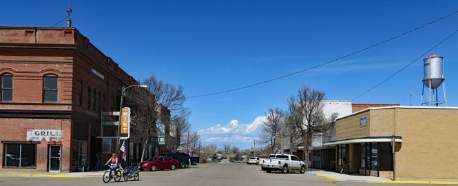
The Chinook SugarBeeters. Are they the "fighting" SugarBeeters? I don't know that sugar beets are even grown around here, anymore.
 Poplar, Montana. I am following the "highline", the route of the
Milk River and the Great Northern Railroad.
Poplar, Montana. I am following the "highline", the route of the
Milk River and the Great Northern Railroad.
Culbertson, Montana.
Fairview, Montana.
 North Dakota
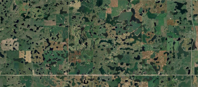
Prairie potholes--thousands of them.
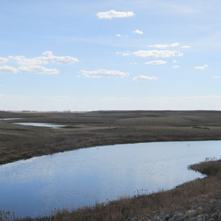
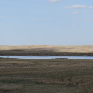
The Prairie Pothole Region is an area of the
northern Great Plains and midgrass and tallgrass prairies that contains
thousands of shallow wetlands known as potholes. These potholes are the
result of glacier activity in the Wisconsin glaciation, which ended about
10,000 years ago. The decaying ice sheet left behind depressions formed by
the uneven deposition of till in ground moraines. These depressions are
called potholes, glacial potholes, kettles, or kettle lakes. They fill with
water in the spring, creating wetlands which range in duration from
temporary to semipermanent.
The region covers an area of about
276,000 sq mi, including parts of three Canadian provinces (Saskatchewan,
Manitoba, and Alberta) and five U.S. states (Minnesota, Iowa, North and
South Dakota, and Montana).
--Wikipedia.org
In this satellite photograph, the road I'm on can be seen at the bottom.
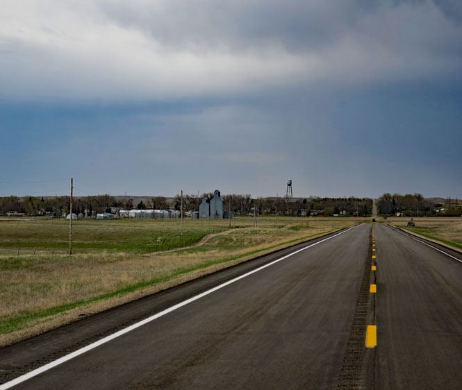
Wing, North Dakota.
I've just come through this storm; I'm still wet.
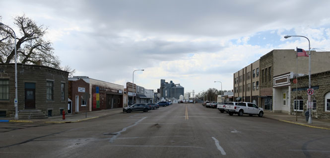
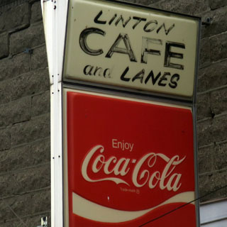
Linton, North Dakota.
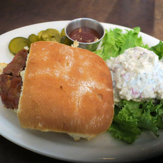
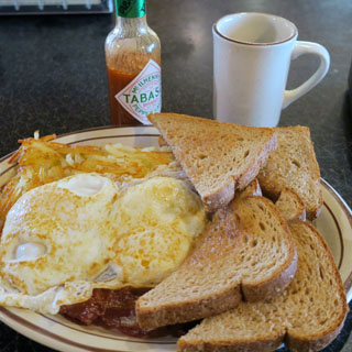
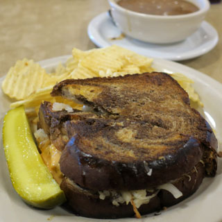
A Reuben is today's special sandwich.
Ashley, North Dakota.
 South Dakota
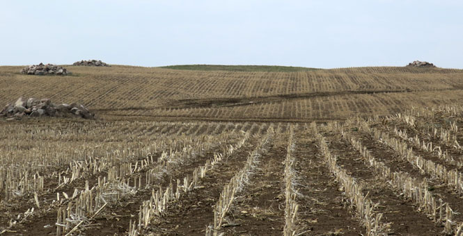
It's our duty. If we do our bit to move rocks from the field to these piles, the next generation will have it easier. And, so it goes...
Crossing the Missouri River.
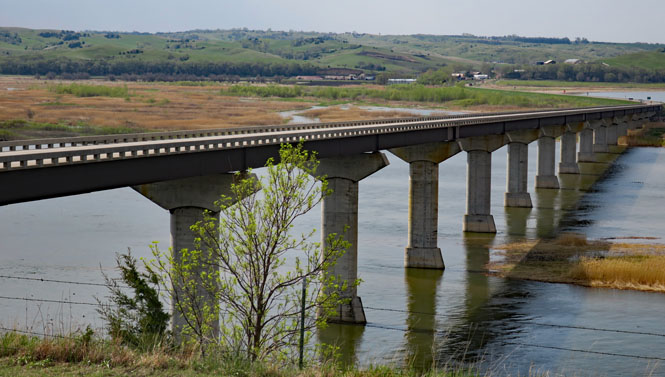
That's Nebraska over there.
Nebraska
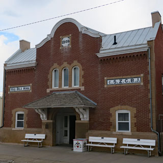
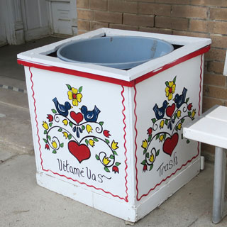
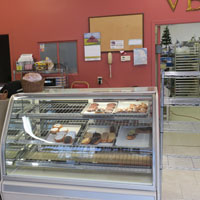
Verdigre, Nebraska is one of several Bohemian towns from Texas to Montana.
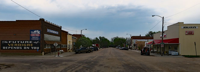
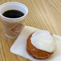
I intended to have a kolache (koláč), but the woman behind the counter said that she only made batches that are sold by the tray. She said the town just isn't big enough to support singles--and they're such a lot of work to make. So, I'll have this raspberry thing (which I think is not Bohemian) with my coffee.
Elgin, Nebraska.
Albion, Nebraska.
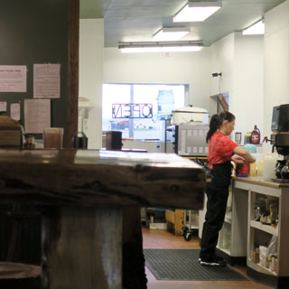
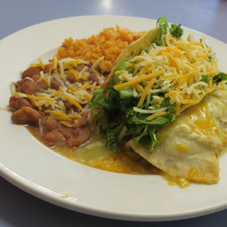
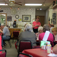
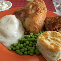
Sometimes I wonder if they're even trying to make a profit at these little cafes. You get an awful lot of really good food for not much. The trick is always to ignore the menu and just order whatever is on the board that day.
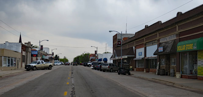
Kansas
Perhaps the weather was not always the best, but for the most part it was just fine. It's good to have ridden through Judith Gap.