January, 2018

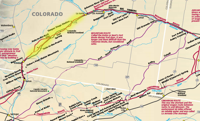
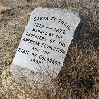
The original (mountain) route of the Santa Fe trail was chosen to provide the best chances for water the entire length. The later Cimarron Route was shorter, but you'd be counting on the iffy Cimarron River for part of the way and there'd be long stretches with nothing.
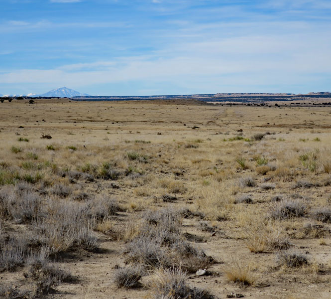
But, even the mountain route was no sure thing. The stretch between La Junta and Trinidad depended on Timpas Creek after you turned south from the Arkansas River, which wasn't likely any bigger than it is today.
I'll be stopping at a few places on the trail near Timpas Creek.
 Colorado
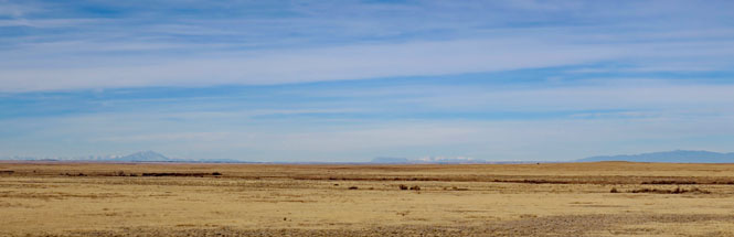
The long view towards the Rocky Mountains.
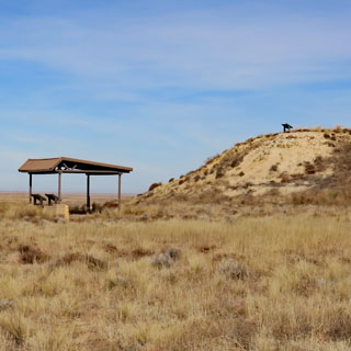
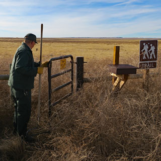
The National Grasslands has marked a short trail from this viewing hill to Timpas Creek (about three miles away). I was there when an employee was moving the tumbleweed so the gate could be opened.
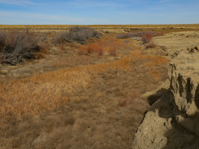
Timpas Creek
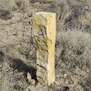
I'm standing on the trail, not far from Iron Springs (that's what the water tasted like). The freight wagons stopped rolling on the Santa Fe when the railroad was completed. This trail hasn't been used for 150 years, and yet there it is.