February, 2018

The goal for this trip was to visit the Organ Mountains National Monument, which was only recently proclaimed. But, there will be other things to see along the way.
 New Mexico
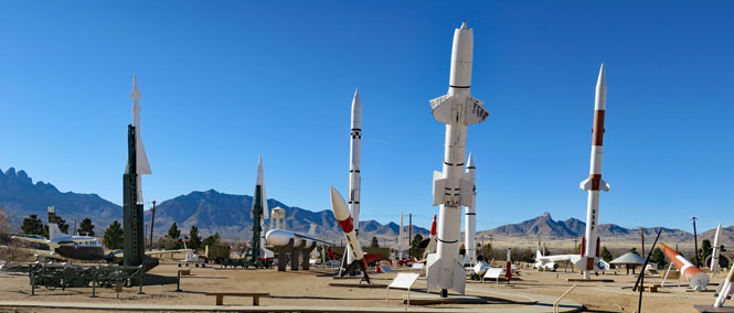
You could make a case that testing in the valley all started with Robert Goddard in the 1930s, but since the 1940's the Army (and to an extent, the Air Force) has operated in the Tularosa Basin of New Mexico. It was here that the first nuclear bombs were tested (Trinity Site), and it was here that captured German V2 rockets were launched.
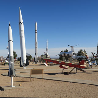
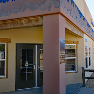
 White Sands Missile Range Museum
The museum is on the Army base just south of US-70, up against the mountains that form the west side of the Tularosa Basin. Years ago (as I heard it) you could simply drive to the parking lot of the museum. Things have changed. You'll need to check in at the visitor building (show sufficient ID and have your photo taken) before passing through the guard check. I found it easiest to just walk through the gate to the museum.
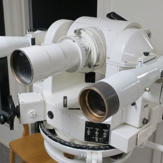
Most of the exhibits are outdoors, but there is a museum building that covers the earliest history of the range.
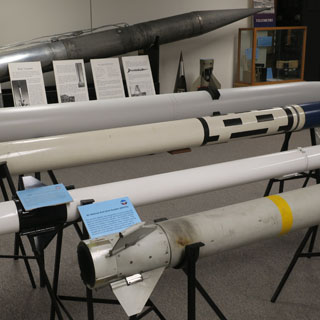
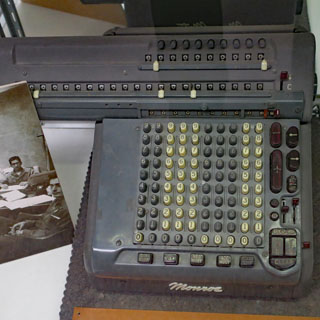
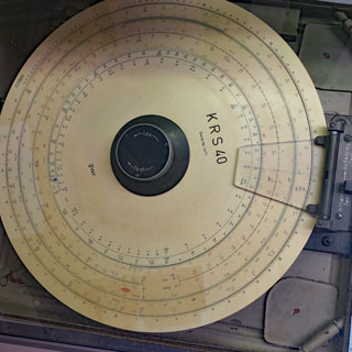
I thought some of the early pre-electronic computers were especially interesting. Some of these would have come with the German engineers who came to work here after the war.

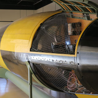
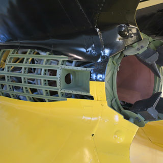
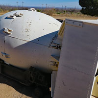
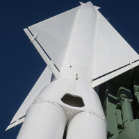
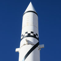
A separate building has a restored and rebuilt V2 rocket, which has enough cut-aways so that you can see how it all goes together. This example was restored at the Cosmosphere in Hutchinson, Kansas, and turned out to be one of the more complete V2s in spite of the years of poor treatment as it was hauled around in parades and otherwise not given much care.
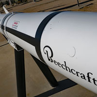
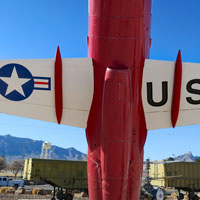
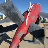
Each of these rockets has a display board that gives a fair amount of information for each.
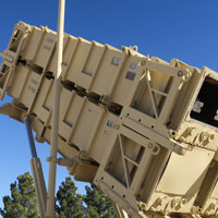
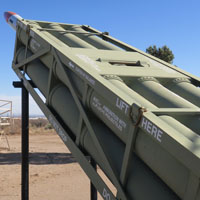
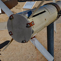
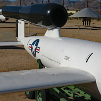
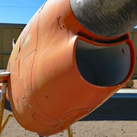
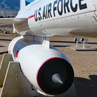
Surface-to-air systems such as these (that's Patriot on the left) are often fully prepared for the field, to the extent that the operators don't actually see or touch the rockets inside the casing. The bomb on the right is an example of a "Fat Man" bomb, the 2nd bomb dropped on Japan.
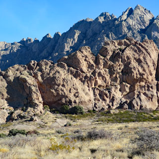
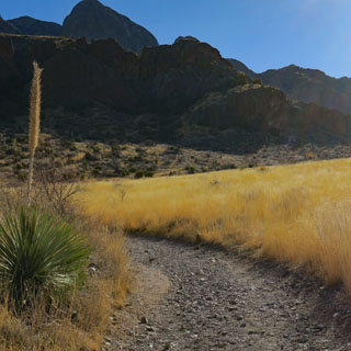
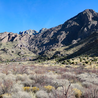
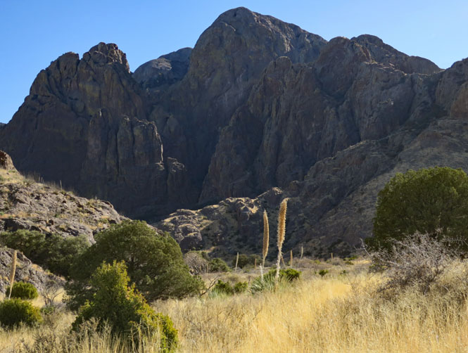
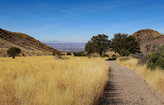
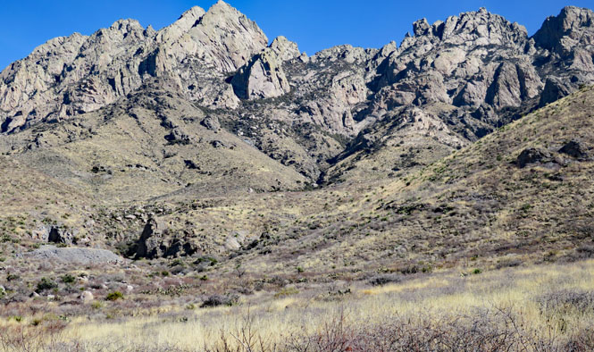
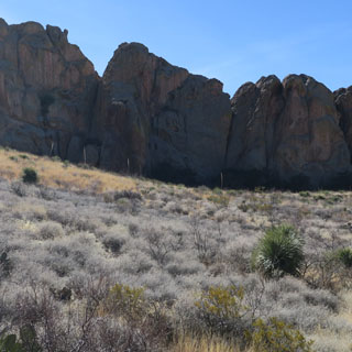
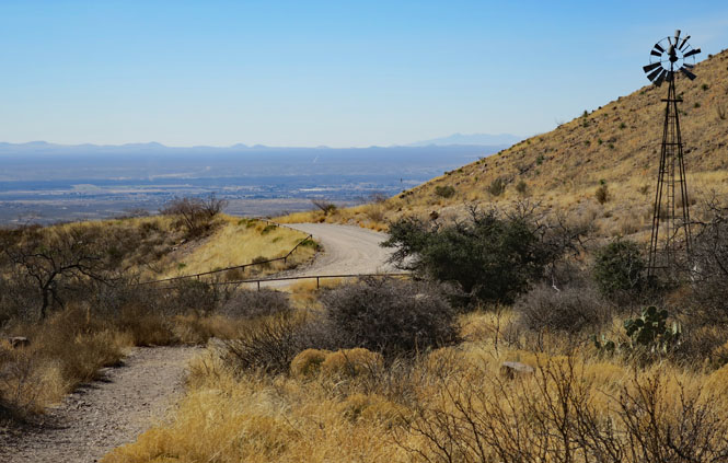
There are three major units of the National Monument; the north and south units are not much developed for visitors (and may never be developed), but the east unit within the Organ Mountains has a visitor center and several established trails.
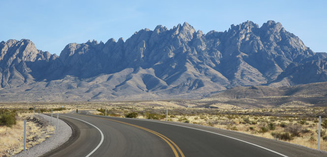
This is the drive heading east out of Las Cruces towards the mountains. I'll note that the speed limit in many places is just 35 mph, and I saw good evidence that you might want to keep it down.
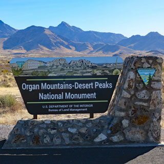
 Organ Mountains - Desert Peaks National Monument
The monument was established by executive order (as is the case for all National Monuments) in 2014. Unlike most others, this one is managed by the Bureau of Land Management (not the National Park System).
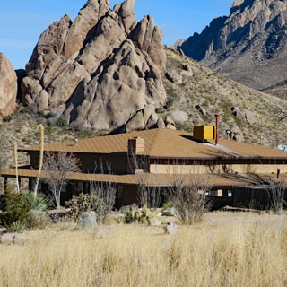
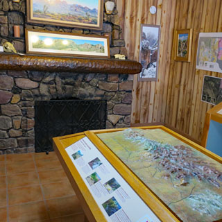
There is a small visitor center with helpful rangers and enough maps to help you decide where to go. For the winter months, there is no water at the center, but the nearby building for the restrooms has an outside faucet that has water year-round.
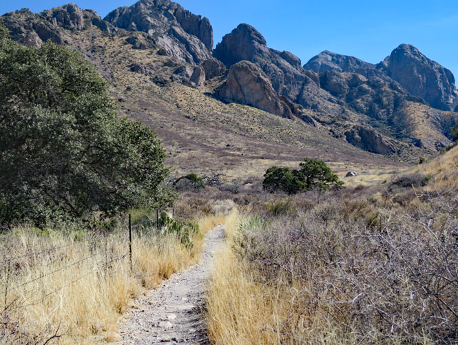
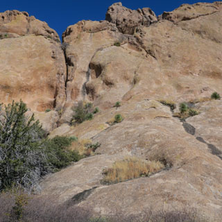
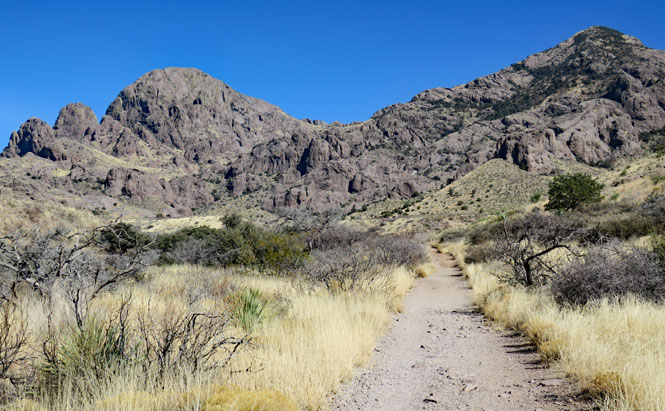
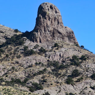
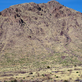
I'll combine a few of the trails into a larger loop.
The Livery outside the old resort camp, which is just up the hill from here. The stage would take visitors all the way up, and then return to this livery where the animals could be cared for.
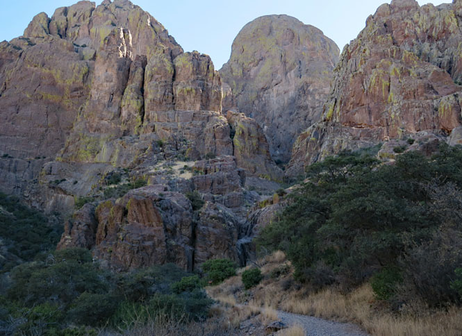
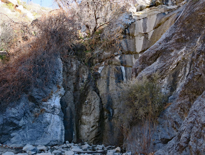
The trail to Dripping Springs.
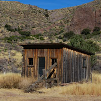
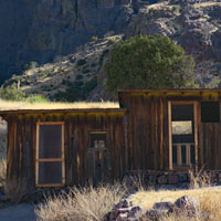
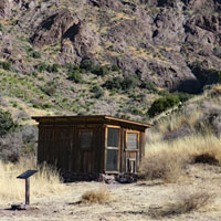
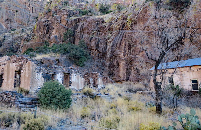
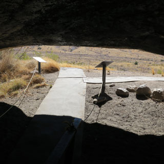
Dripping Springs and Boyd Sanatorium. The Sanatorium operated at the turn-of-the-century (19th and 20th) for tuberculosis patients. Most the buildings are gone, but not all.
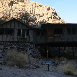
Van Patten Mountain Camp is not far up the canyon from the Sanatorium. It was quite the resort at one time, but once closed, it didn't survive the scavengers who came for the building materials.
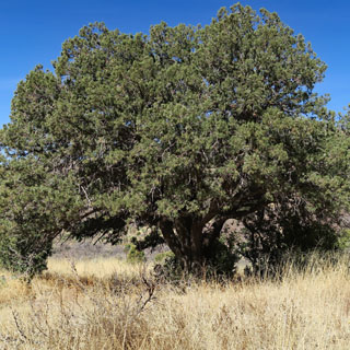
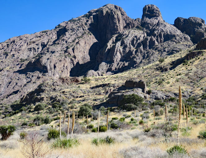
This park has some of the largest Juniper trees I have ever seen.
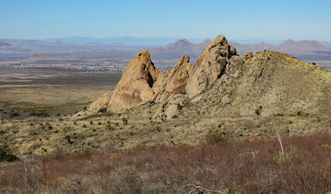
Looking west towards Las Cruces.
Continuing my walk. It's a perfect winter day.
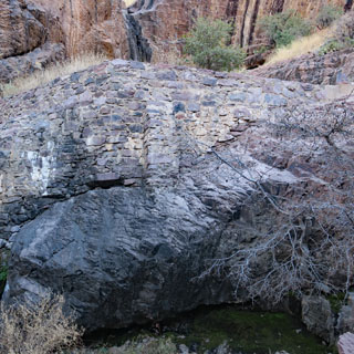
The Modoc Mine was a struggle for silver. It started with an assumption of a good water supply, but then had to shift to dry operations. It made money, but has been closed for a long time. Very little remains of the small community that was once here.
Drip, drip, drip. There is water, but perhaps you shouldn't count on much.
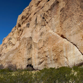
La Curva. There's an opening below that cliff that makes a good shelter. An Italian-born hermit once lived here, as have countless people before him.
Soledad Canyon is a few miles south of the Dripping Springs area.
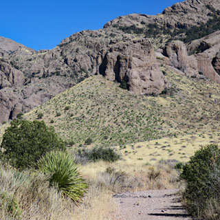
It's a remarkable place and well worth being a National Monument.

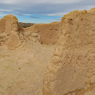
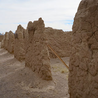
Fort Selden is right up against the north unit of the National Monument, but is maintained by the state of New Mexico.
A couple of reenactors, both were very knowledgeable of all the happenings at the fort.
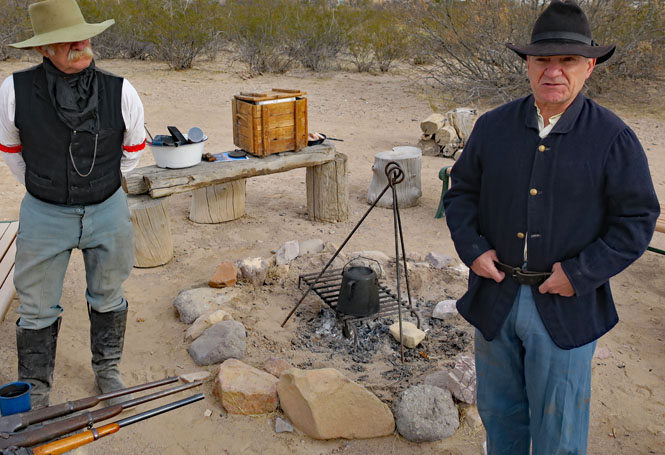
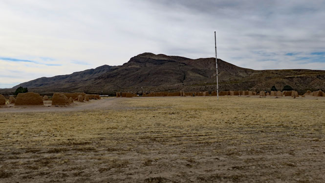
I recently visited Fort Union (which would have been the supplier to this place). They have an annual program to protect and retain the old adobe structures. That doesn't seem to be the case here, so eventually it will all melt back to the earth.

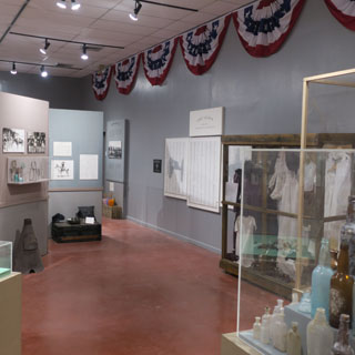
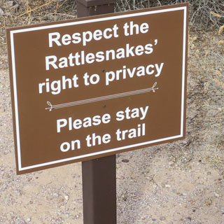
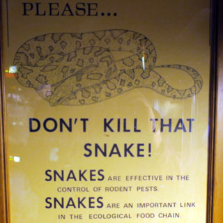
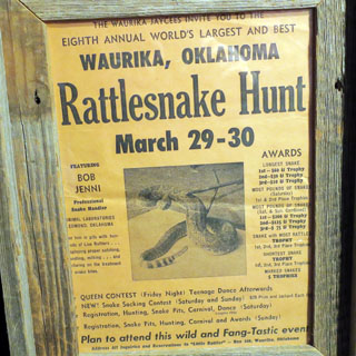
This is an unexpectedly nice museum, seemingly miles from anything. In particular, they have all the rattlesnakes of the region in well-made displays.
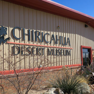
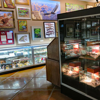
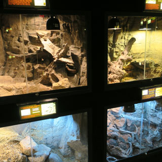
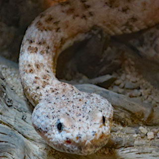
Two opposing views of the worth of snakes. This museum respects snakes; you can imagine that they'd have nothing good to say about what happens in Waurika, Oklahoma.
 Arizona
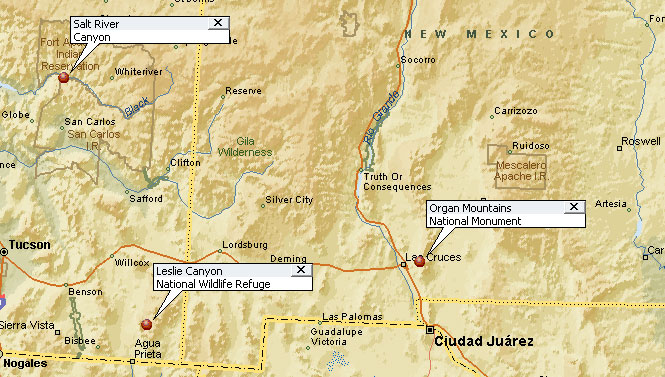
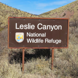
 Leslie Canyon National Wildlife Refuge
The 2,765-acre refuge was established in 1988 to protect
two of the eight native fish species of the Río Yaqui watershed, the Yaqui chub
(Gila purpurea) and the Yaqui topminnow (Poeciliopsis sonoriensis). In addition,
the refuge protects a unique velvet ash-black walnut-cottonwood forest along
Leslie Creek that is important for many migrating and nesting birds.
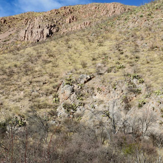
Leslie Canyon National Wildlife Refuge lies at the junction of the Swisshelm
Mountains to the north and the Pedregosa Mountains to the south and east. Leslie
Creek does not always have water in it but it was a tributary of Whitewater Draw
in the Sulphur Springs Valley, which itself is a tributary of the Río Yaqui. The
Rio Yaqui is a large river that historically drained portions of southeastern
Arizona and southwestern New Mexico in the United States, as well as eastern
Sonora and western Chihuahua in Mexico. It is the remaining portions of this
once-massive watershed the U.S. Fish and Wildlife Service is working to restore
and protect on the Leslie Canyon and San Bernardino National Wildlife Refuges.
Between the Leslie Canyon and nearby San Bernardino Refuge, at least 334
bird species have been recorded, including many nesting birds. In addition, 67
mammal, 43 reptile, 13 amphibian, and eight fish species have been documented.
The two refuges are critical in maintaining a sanctuary for at least 34 plant
and wildlife species of concern.
--NWR website
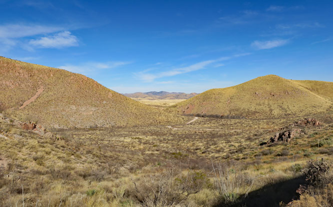
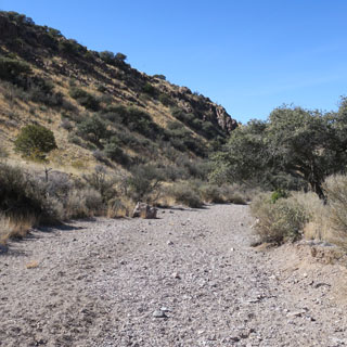
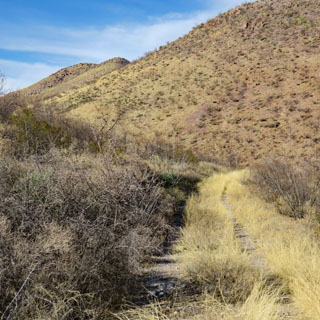
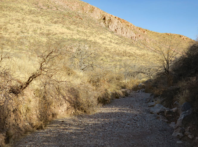
You'll have several miles of unpaved roads to get here, but that only means you'll likely have the place to yourself.
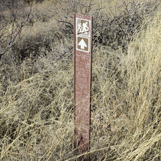
I'm following Leslie Creek.
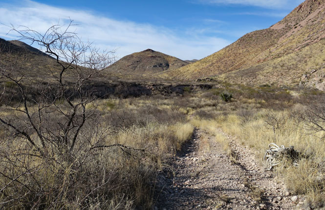
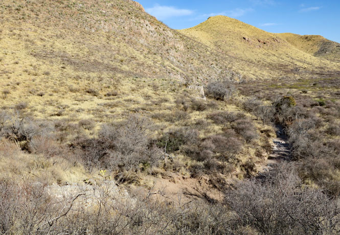
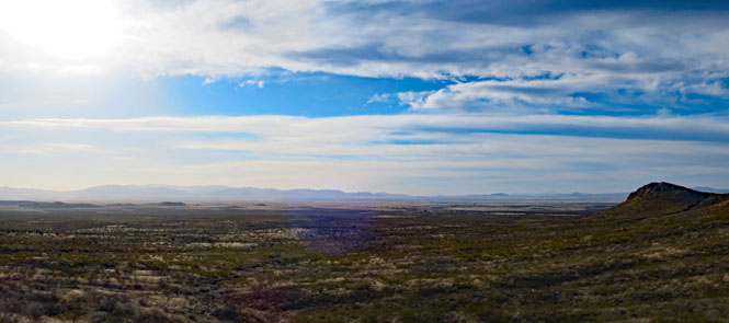
The long view to the west.
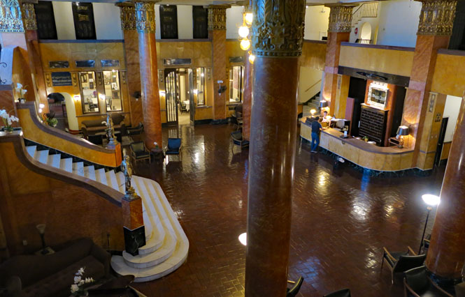
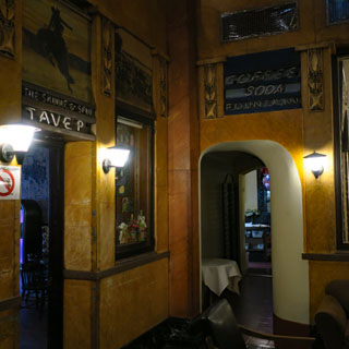
The Gadsden Hotel, Douglas, Arizona.
I'd been through Douglas, before, but wasn't here when I needed a hotel. Certainly, the Gadsden is a good one. It represents a time when the copper mines were booming and the stock market hadn't crashed.
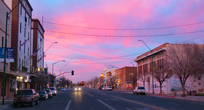
It is said that Pancho Vila rode his horse (named Siete Leguas) up that grand staircase.
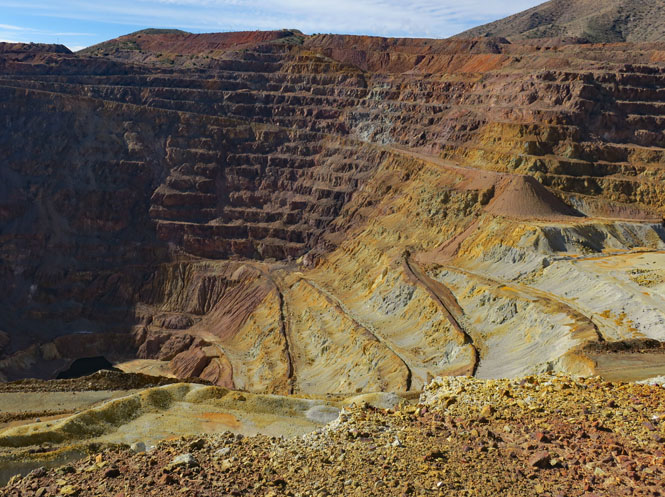
The Lavender Pit Mine, outside Bisbee, Arizona is no longer being worked, but it's safe to assume that should the price of copper go up sufficiently, things will begin to wake up around here.
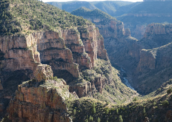
The Salt River.
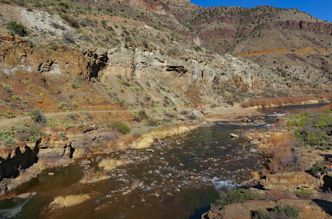
Salt River Canyon, Apache Nation.
New Mexico
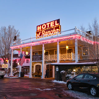
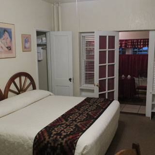
I've stayed at the El Rancho Hotel in Gallup several times. It was built when the studios needed a good place for the crews to stay while filming in the area, and the brother of D.W. Griffith built just the thing. The Fred Harvey company trained the staff.
When Route-66 was replaced by I-40, things took a bad turn, but it's nice to see that the place is back. I stayed in the Kirk Douglas room (presumably, so did he). That back door leads to a kitchen with a small table with chairs and a further door out to the patio.