


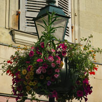
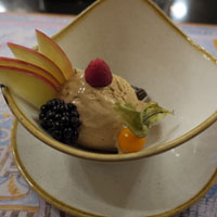
June, 2019
Sunday |
Monday |
Tuesday |
Wednesday |
Thursday |
Friday |
Saturday |
| 26 May | 27 | 28 | 29 flight cancelled |
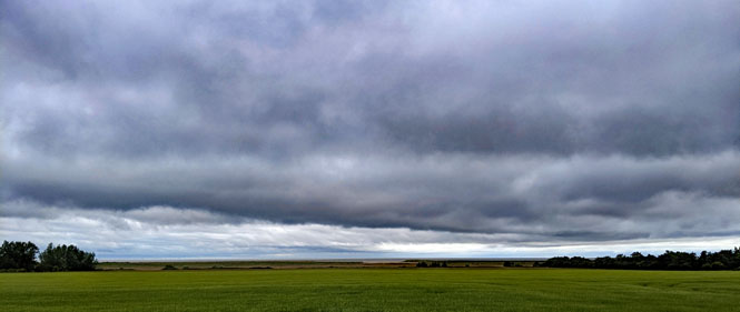
30 Wichita Denver Newark |
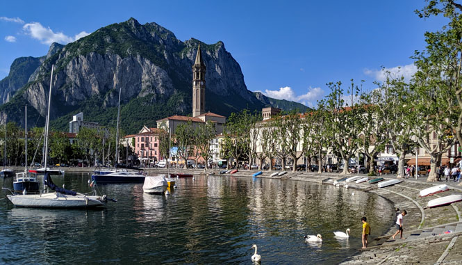
31 Lecco (Italy) |
1 June Grenoble (France) |
| 2 Ambert (France) |
3 Saint-Jean-d'Angely (France) |
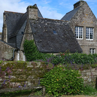
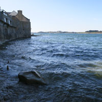
4 Brest (France) |
5 Roscoff (France) |
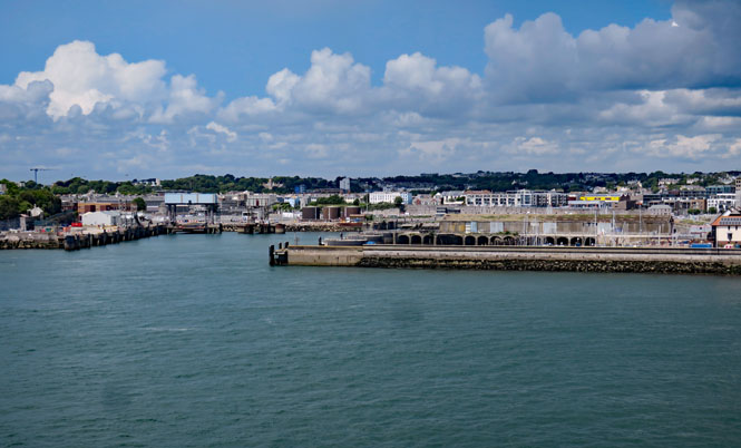
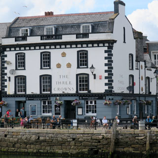
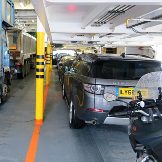
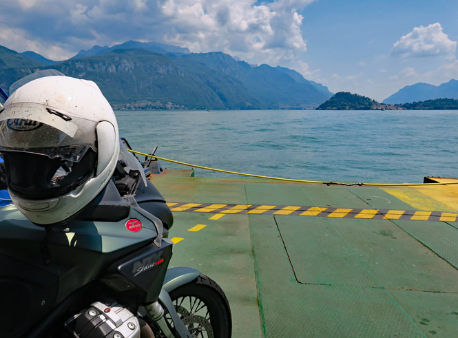
6 ferry Plymouth (U.K.) |
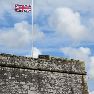
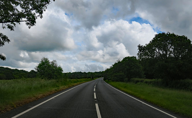
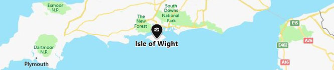
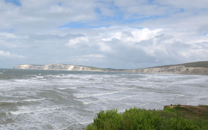
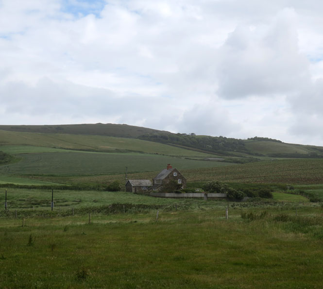
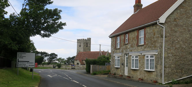
7 Isle of Wight (U.K.) |
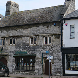
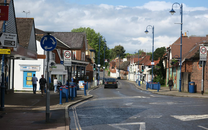
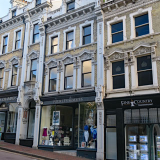
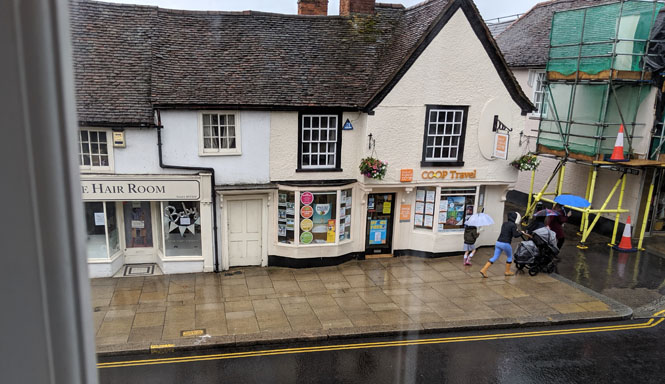
8 Tunbridge (U.K.) |
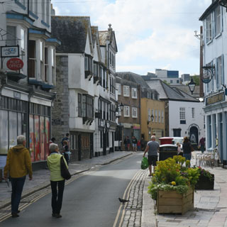
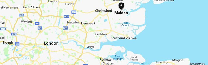
| 9 Maldon (U.K.) |
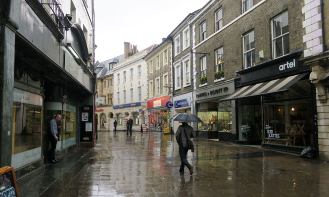
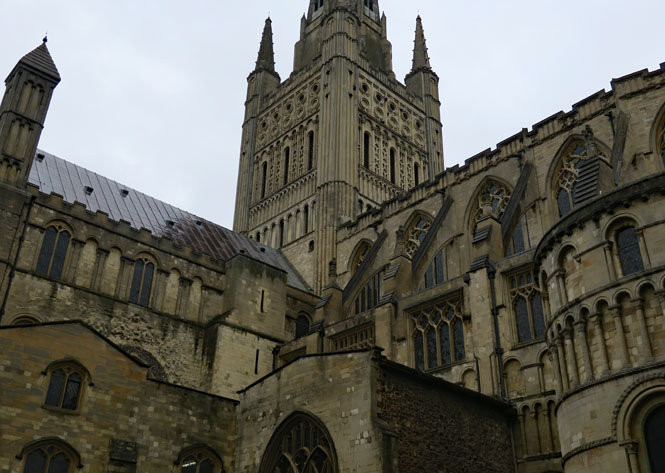
10 Norwich (U.K.) |
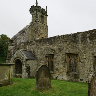
11 Tichwell (U.K.) |
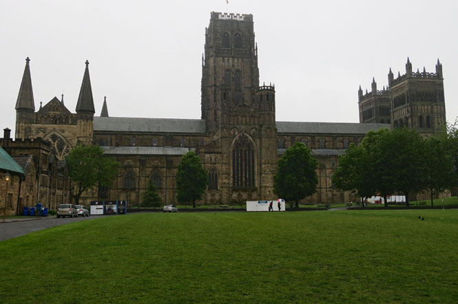
12 Durham (U.K.) |
13 North Shield ferry (U.K.) |
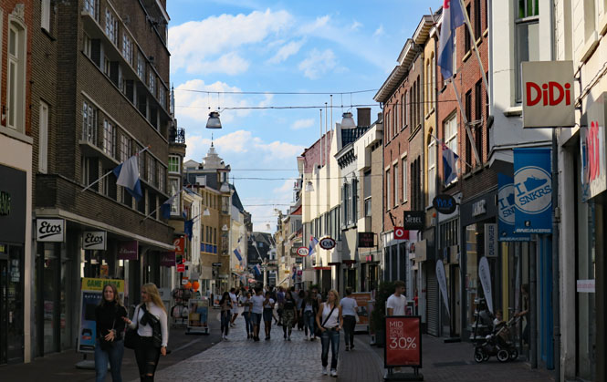
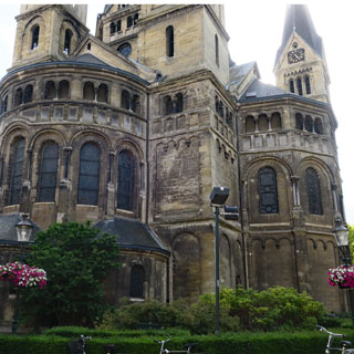
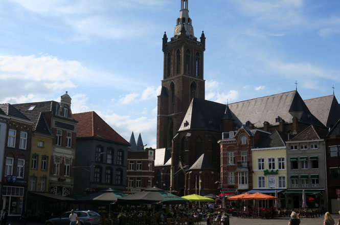
14 Roermond (Netherlands) |
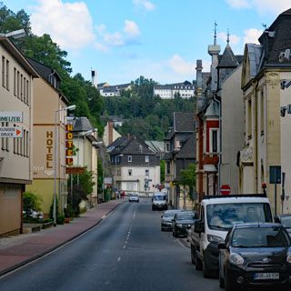
15 Idar-Oberstein (Germany) |
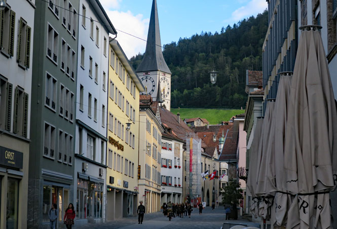
| 16 Chur (Switzerland) |
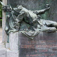
17 Mandello del Lario (Italy) |
18 Milano (Italy) |
19 Newark Chicago Wichita |
20 | 21 | 22 |
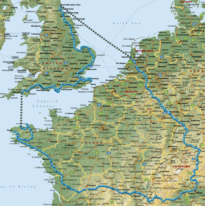
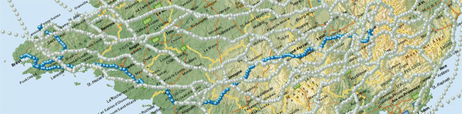
I'm used to making changes on the fly, but this trip wasn't at all what I had planned. The original idea was to ride to Spain and explore the Pyrenees Mountains before continuing to England by ferry. But, a fire in the engine room and then a damaged rudder control changed all that (on the day of my departure); I'd instead be riding across France before taking a different ferry to Plymouth, England.
 Europe Motorcycle Trip #21
From Plymouth, I'd ride around the south and east coast (more-or-less) up to Newcastle and then take a night ferry to Amsterdam before returning to Italy. Some trips have a theme, but I don't know what the theme of this one might be.
 New Jersey
The morning of my early departure I watched (with increasing concern) the incoming text-messages from United Airlines: delay, delay, longer delay...
It seems that heavy rain over the Great Lakes region was disrupting flights. All my connections were lost, so I immediately rescheduled for the next day--but, this time re-routing to Denver before flying to Newark to avoid any possible storms in the Chicago area.*
* A wise precaution, as it turned out; the next day's Wichita-to-Chicago flight was again cancelled.
Losing that first day didn't mess with the rest of my schedule (meaning the schedule I thought I was on) as I've always planned for two days in Lecco to recuperate from the flight and to further adjust to the time-zone changes. The cancellation would only mean I'd be starting the ride without that day of rest.
Italy
After landing in Malpensa, I'll take the express train to Milano Centrale Train Station and then another train to Lecco.
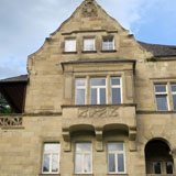
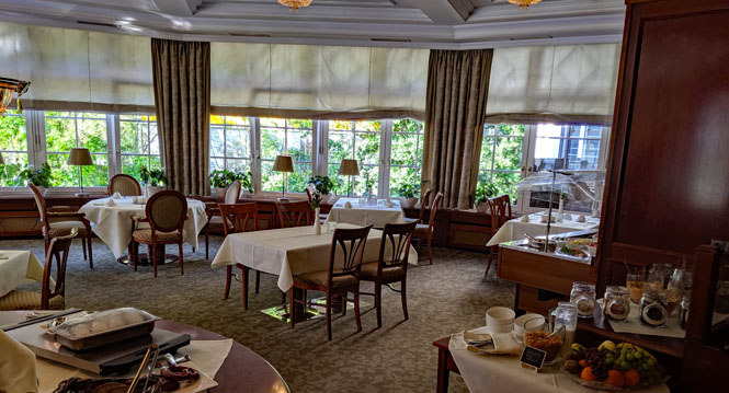
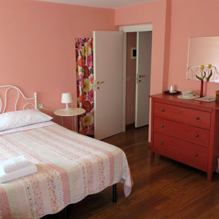
Lecco, Italy. A nice place to relax (the best I can). I'll be starting my ride the next morning.
Today is when I received notice from Brittany Ferries that they were "very sorry, but the ferry from Santander, Spain to Plymouth, England has been cancelled--please, call this number"...
I am probably more flexible than most of the other several thousand people who were trying to salvage their plans for their holiday. I talked with a very helpful woman (based in Plymouth) from the ferry company who worked with me on a new reservation that would leave Roscoff, France and arrive the same day in Plymouth that I was originally supposed be there.* Now, I only needed to ride across France to get there.
* Brittany Ferry would eventually 1) reimburse me the difference in the cost of the new ferry to Plymouth, 2) give me about $200 for extra travel expenses and 3) give me a 25% discount-voucher for any future booking with them.
Finding a map in Lecco of France wasn't hard (I bought one of those crispy bedspread-sized Michelins). The trick would be to see if I could get from Mandello del Lario to Roscoff while avoiding the same roads from any previous trips. I think I did ok.
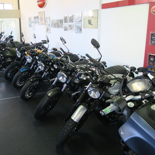
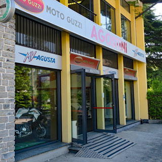
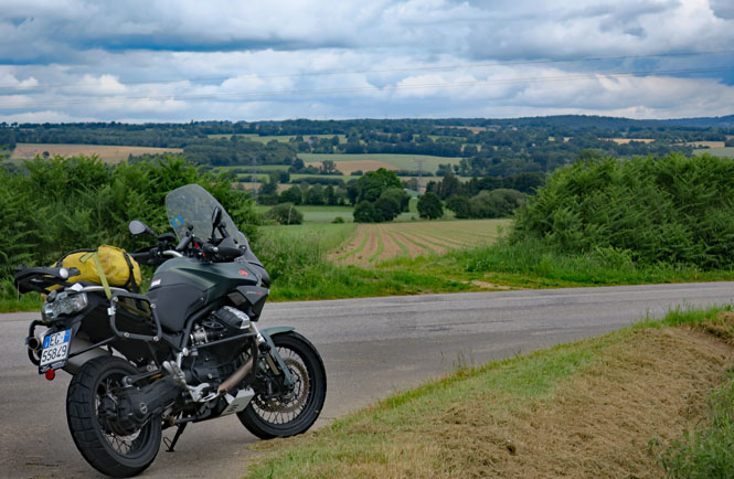
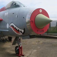
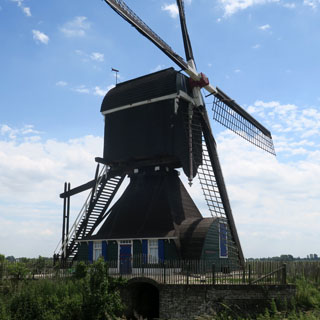
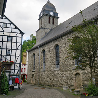
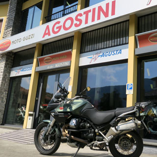
All trips start at Agostini's in Mandello del Lario. It's something to note that the showroom is moving lots of V7s, only a handful of V9s and practically none of the larger 1400 Guzzis. I'll be on the same Stelvio that I rode last year--this time with new driving lights after the mounting screws all failed on the originals.
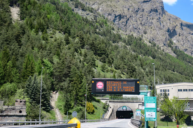
Riding the Autostrada west...
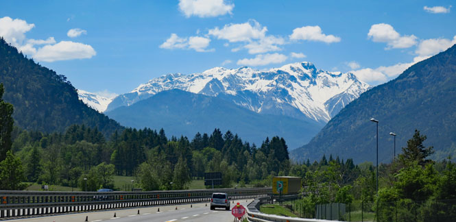
The Frejus tunnel is a long one, but curiously, it doesn't suffer from the high temperatures of the Mont Blanc tunnel or the Gotthard tunnel, which are not that far away.
France
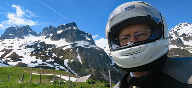
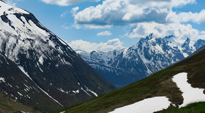
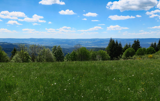
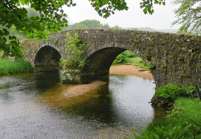
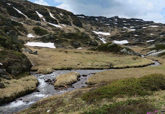
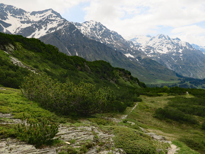
Crossing the Col du Glandon over the Dauphiné Alps. This is my second attempt at this route after finding it closed a couple of years ago. It typically opens around the end of May, but of course, you cannot depend on that.
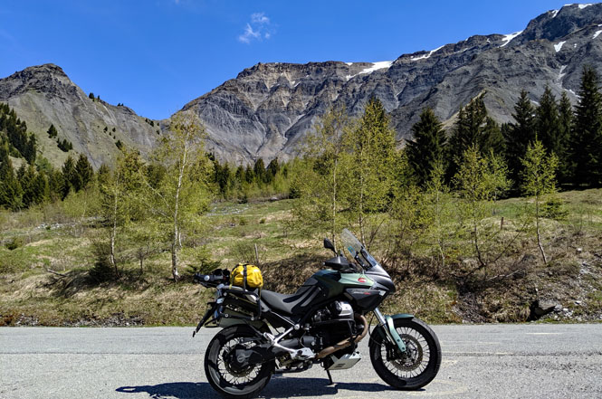
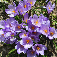
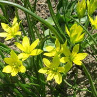
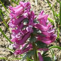
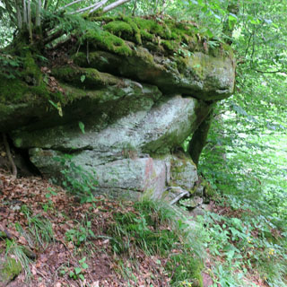
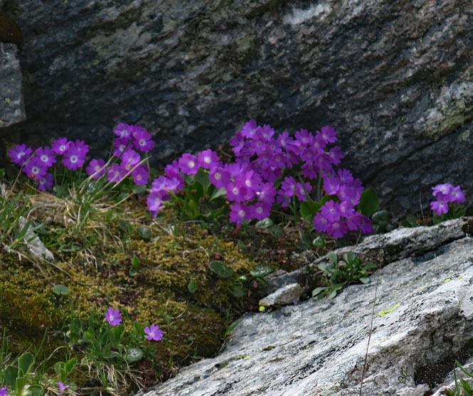
Nothing big grows up here, but you'll almost always find small plants in the protection of the rocks.
This route is often used in the Tour de France bicycle race, which seems completely nuts to me (the road has a long 12% grade at the top).
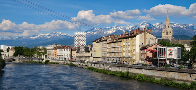
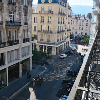
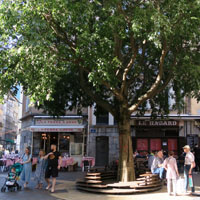
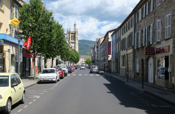
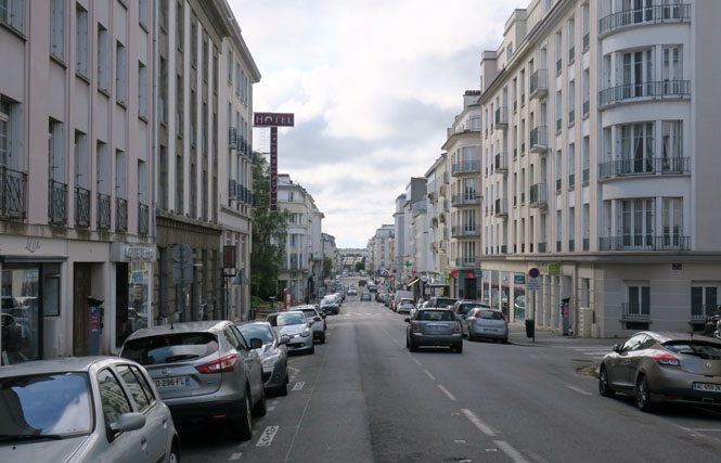
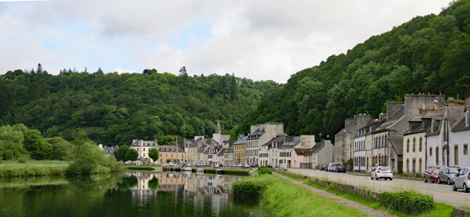
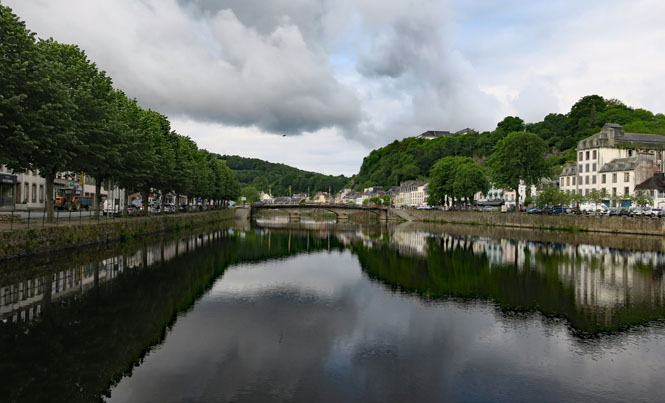
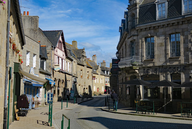
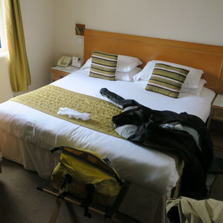
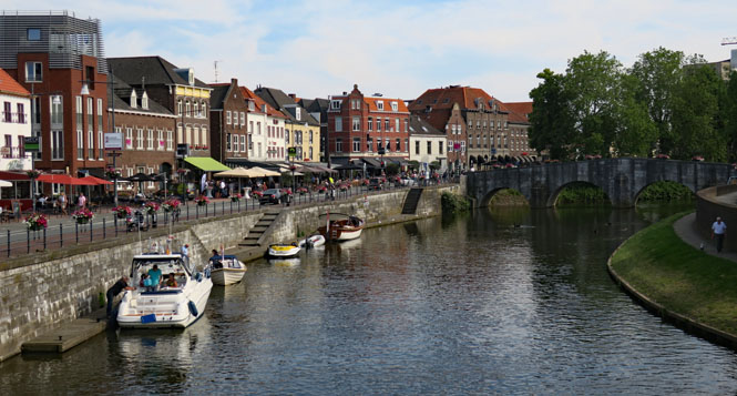
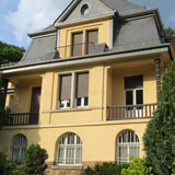
Grenoble, France on the Isère River. I've struggled to get cleanly through this city on earlier trips; this time I'll need to navigate my way to the center of town to find my hotel. There's nothing sensible about the layout of the streets.
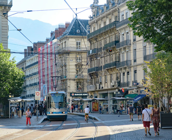
Streets can change from two-way to one-way to no-way without any notice (or at least, none that I could see). I have a GPS to help, but had to be a bit wary with it as it didn't always know which way traffic ran, either. I ended up riding between traffic bollards to get to my hotel since there didn't seem to be any other way.
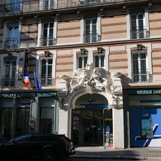
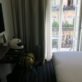
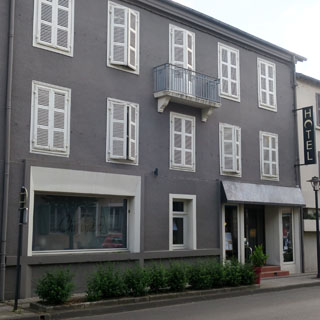
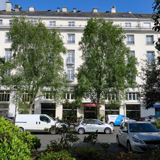
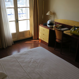
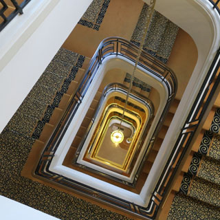
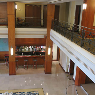
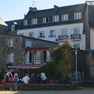
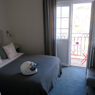
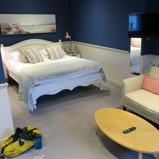
My hotel (below, left) and the view from the balcony.
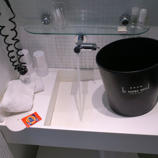
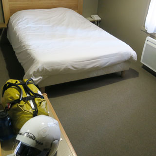
Doing laundry every evening means I need a sink to fill with water, though, sometimes the drains are too clever for me, so I need to resort to a water-tight waste-bin. I had this "problem" several times on this trip.
The outskirts of Grenoble (meaning any part not in the core) are rather forgettable and not much different from any other city sprawl, but the historic center is interesting, and easy to walk.
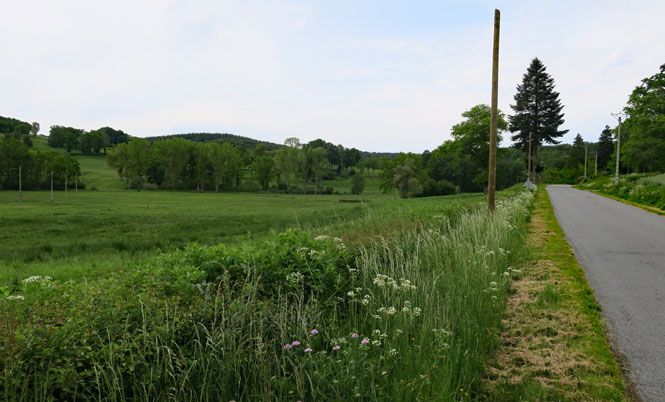
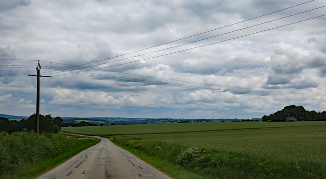
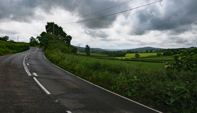
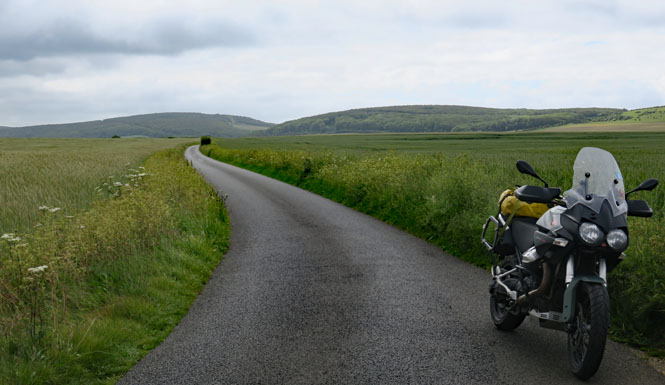
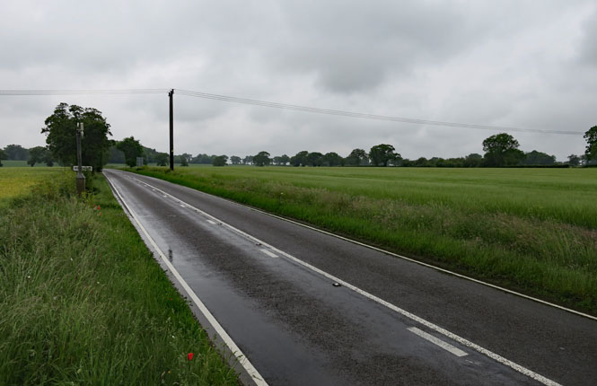
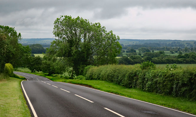
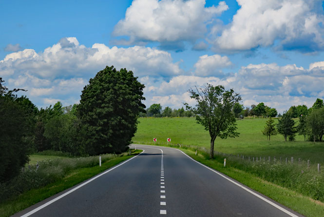
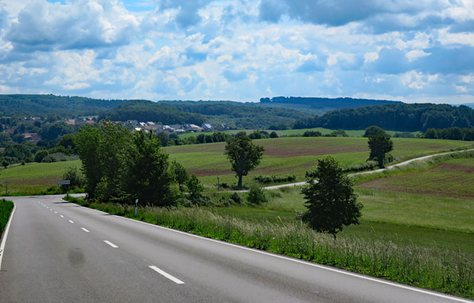
Riding west on (it is hoped) all-new roads for me. I'm avoiding all Motorways and trying also to avoid any larger cities.
Prieuré de Saint-Romain-le-Puy (10th century). I understand that the town once crowded up the hill to the monastery, but it's now much smaller and people prefer to live on flatter land.
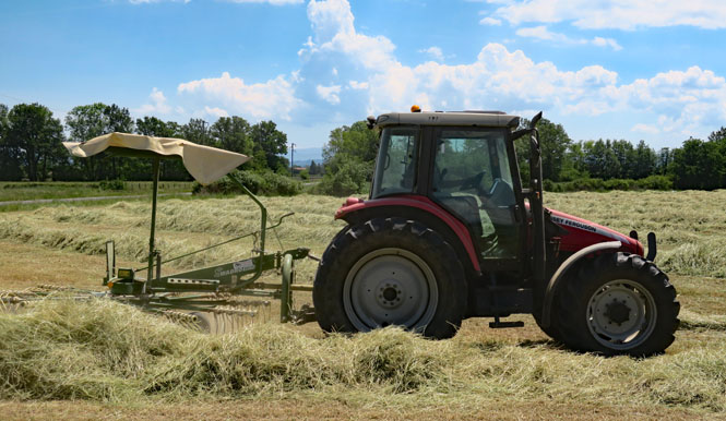
Turning the hay so it can dry in the sun. The task is the same, everywhere, but it's interesting how different the equipment can be.
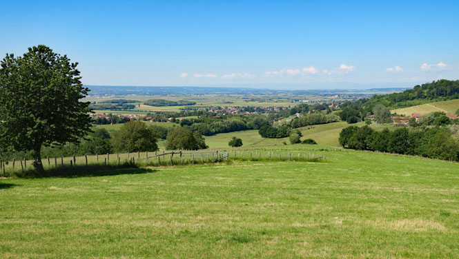
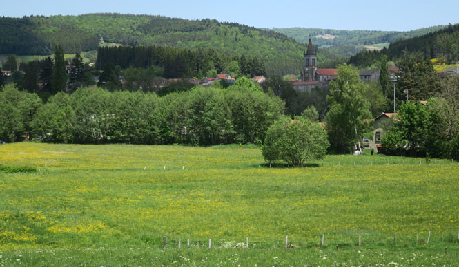
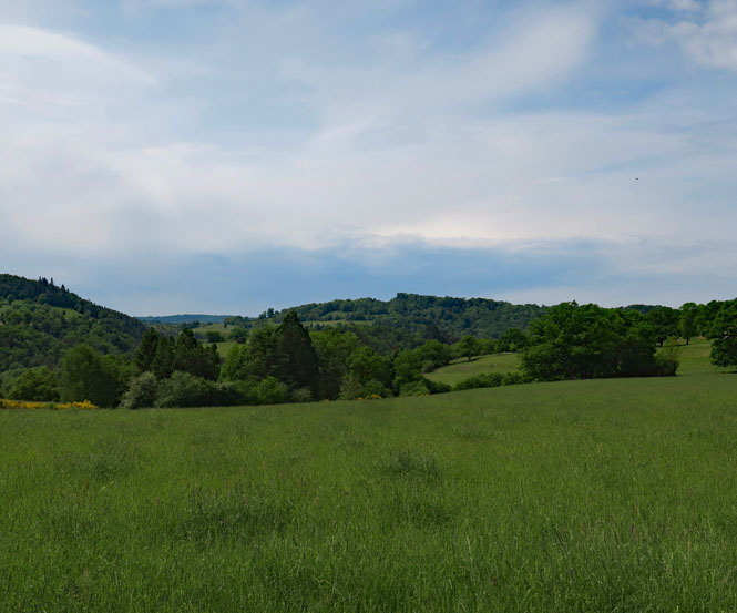
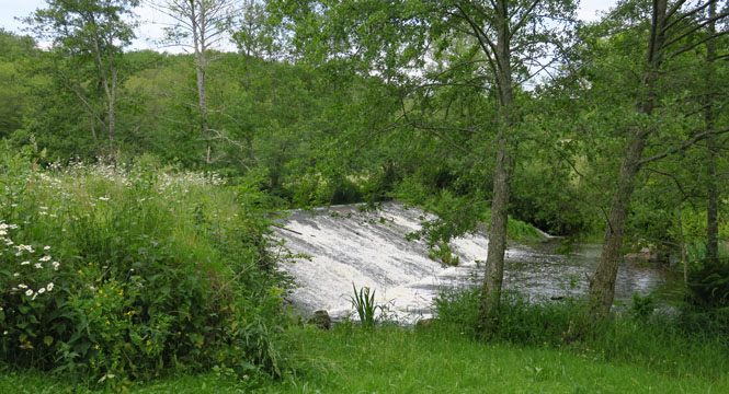
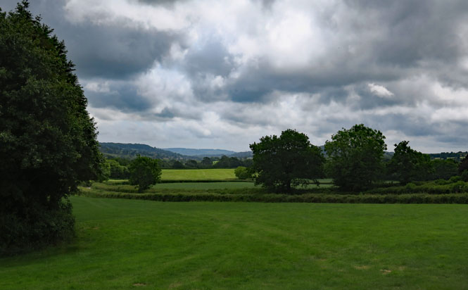
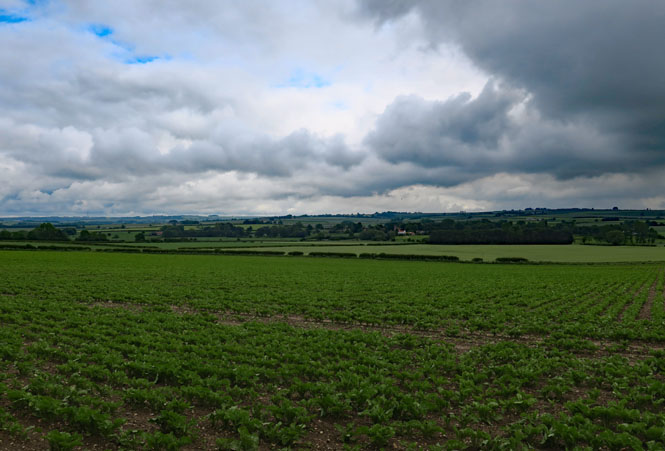
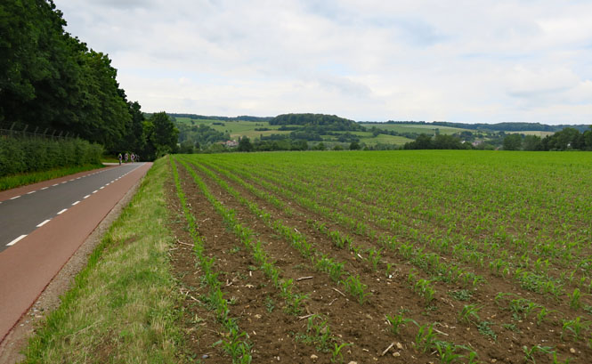
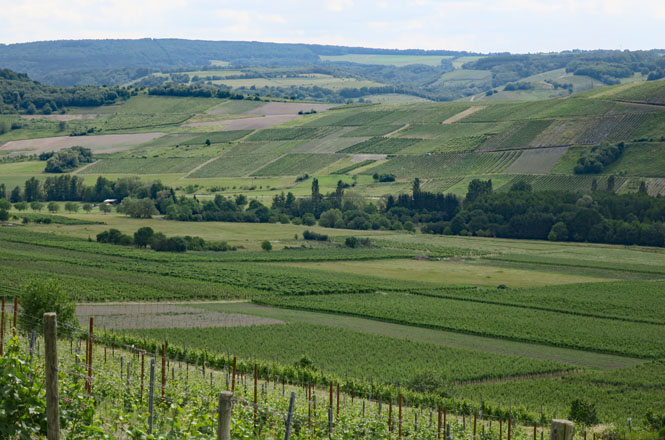
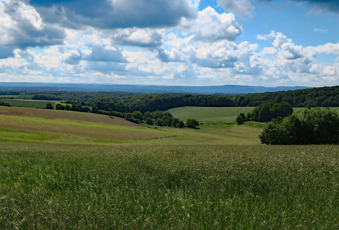
Several miles west of the Alps, but not in the flats, either. This is a really beautiful part of France.
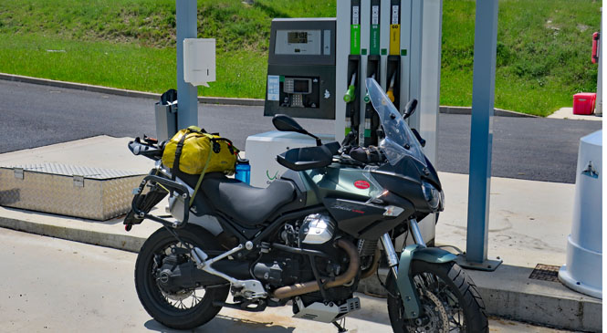
Prior to this trip, I had several conversations with the Bank of America folks who were insistent that their new Travel Visa would be just the thing to solve all my previous chip-and-PIN issues. This card would be accepted. We shall see.
Sigh. It turned out that no; this card is not accepted everywhere. It behaves like all the other chip-and-signature cards, just like virtually all other American cards, and is not accepted in these remote French unattended petrol stations. Of course, I also brought along a proper chip-and-PIN cash card (out of the U.K) that is accepted here and everywhere, so I wasn't inconvenienced too much. Perhaps some day, American cards will step up to the challenge.
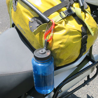
A view of the pack. I keep this blue Nalgene water bottle in Mandello. I've never needed more than the one bottle (unlike my travels in the southwest U.S.) so, I just carry the one. My walking shoes are packed so that the sole of a shoe is flat against my back when riding and provides some lower-back support.
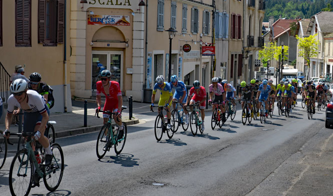
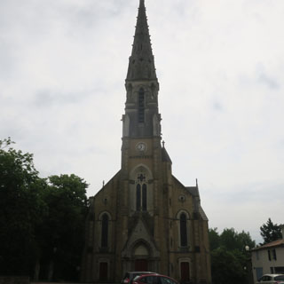
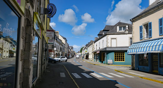
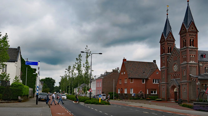
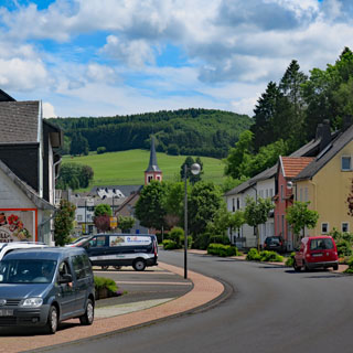
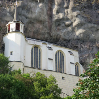
Ambert, France. Frankly, I'm now feeling the loss of that extra day of rest before starting the ride. I'll stop early in Ambert to let my body catch up.
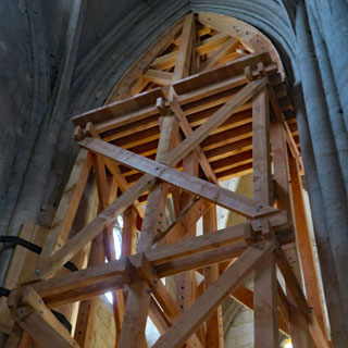
It's been said that if a church didn't collapse while being built, it would last forever, but that's not really true. There are plenty of tall stone churches that have been collapsing in slow-motion for centuries. Is the plan to keep the wooden support in place? I don't know.
France is very good about organizing their bicycle races. This was a long distance affair with the riders only passing through Ambert, but there were plenty of police on hand to restrict auto traffic at every intersection, and lots of race organizers to keep things clear and the racers pointed in the right direction.
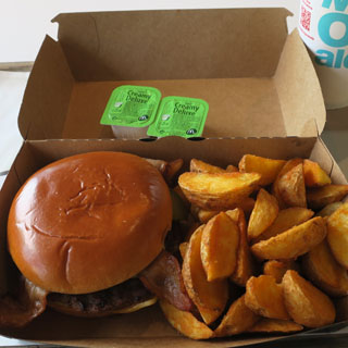
What's open on Sunday? Not much, unless you want to have beer for dinner (which I did, but I needed something more). It turns out that McDonalds is open. I haven't had a McDonalds hamburger in many years, but if all U.S. McDonalds were as good as this, I might reconsider.
This was a second chance to see if my new Visa card would work at the ordering-kiosk (nobody was ordering food or paying at the counter). Nope; it was rejected just as soon as I pushed the card in the slot. Sigh.
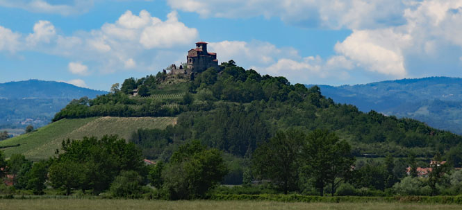
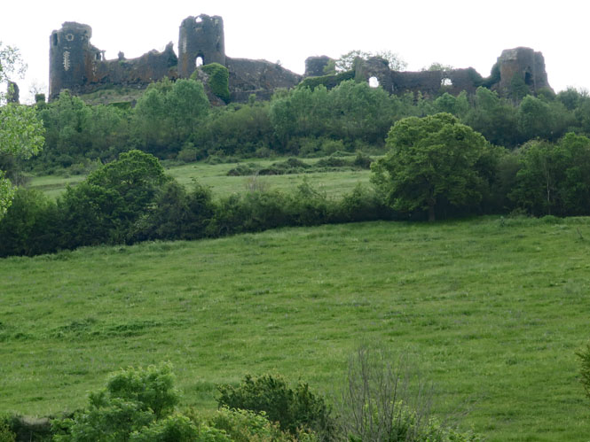
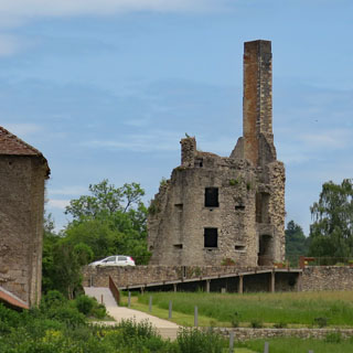
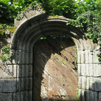
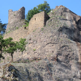
Château de Mauzun (13th century). Nearly every tall hill with a good lookout will have something like this (usually just ruins, of course)
I've had rain off and on all day, and that never stopped.
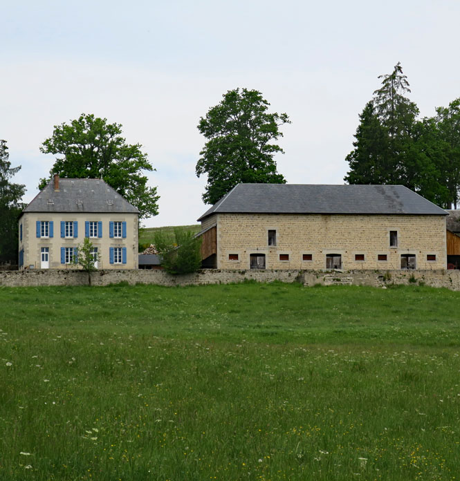
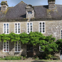
A typical French farmhouse and barn? Perhaps, nicer than most, but pretty usual.
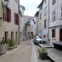
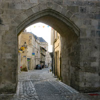
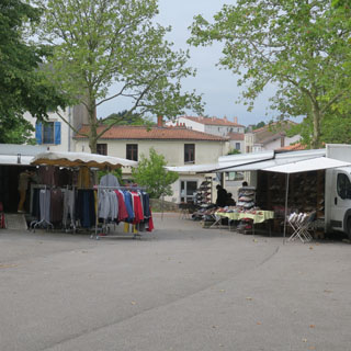
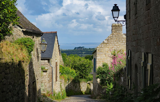
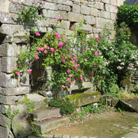
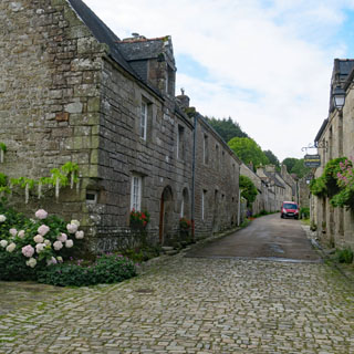
Pontcharraud, France. I rode through many villages that looked just like this one. It's sometimes a trick to find a place to park (to get a photograph) as the road is rarely wide enough for two vehicles to pass. A motorcycle is the easier choice.

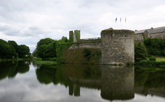
Les Cars, France and the ruins of Château des Cars (12th century)
This might be an old mill-pond. I'm not sure as I didn't see a mill.
I'm riding in the region of Cognac, so I suppose we can assume that these grapes will end up in a bottle of cognac.

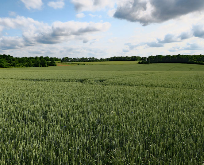
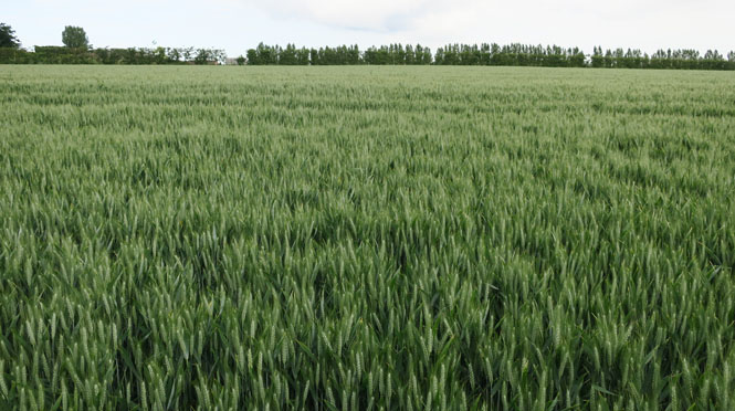
Wheat or barley or... I'm never quite certain.
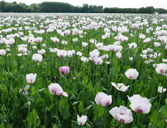
Poppies... But, to what end, I don't know.
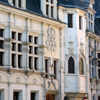
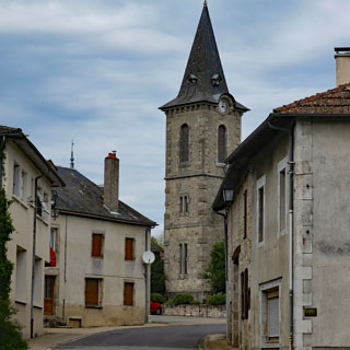
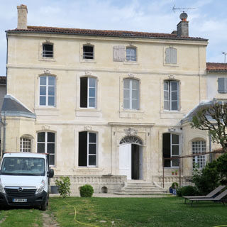
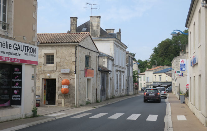
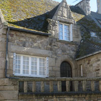
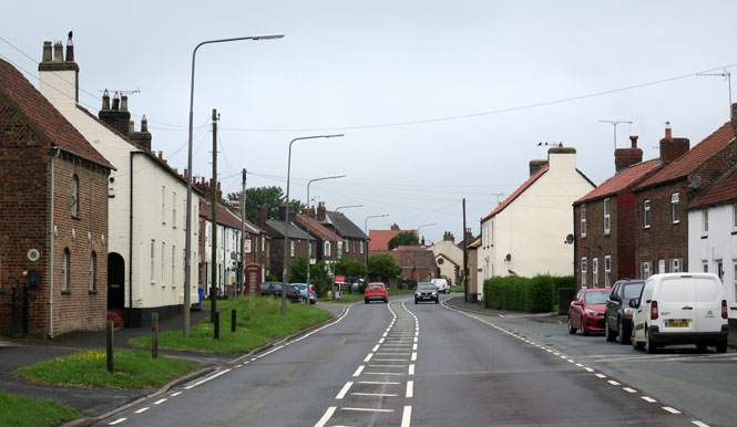
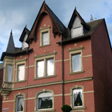
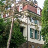
Saint-Jean-d'Angély, France. It wasn't easy finding this hotel. That is, I found it by the address, but it seemed to be only an abandoned shell of an old building.
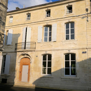
It turned out that only the top floors are in use, while the lower floors are under renovation from a fire a few years ago. My room is on the right of the top floor (above). The building dates from just after the revolution.
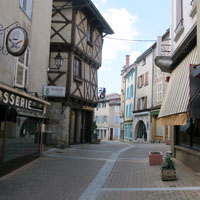
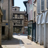
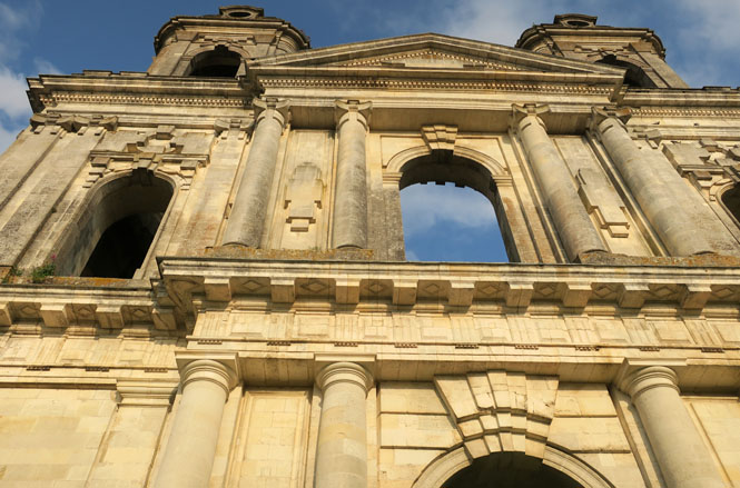
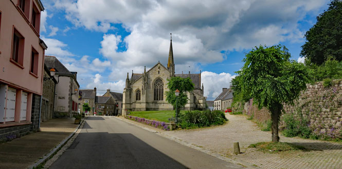
Saint-Jean-d'Angély is one of the larger towns that seems to have retained all of its old medieval character. It has somehow avoided the destruction of many others.
The old abbey was built and destroyed and built and destroyed until they just gave up on the thing around the time of the revolution. The towers remain.
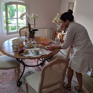
My hostess laying out breakfast in the morning. I used my phone translator, which worked very well. Just push the button to swap from French to English and back while the phone speaks both languages. The food is all very fresh, organic and all local (save for the coffee).
Benet, France. Sometimes, I'm just stopping to look at the map to figure things out. So, while I'm here, I'll snap a photograph of a routine, nothing special place.
Bournezeau, France.
Closer to the coast, the steeples become taller and thinner. Why? Just the style, I suppose.
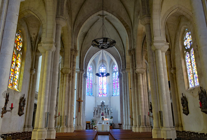
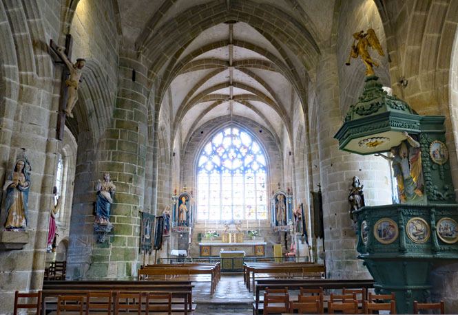
Inside the church of Bournezeau. I'll often stop to look at churches as they will almost always be the very best that a town has ever done.
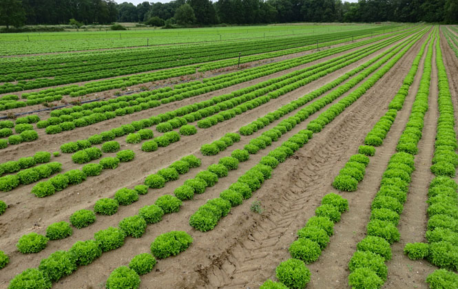
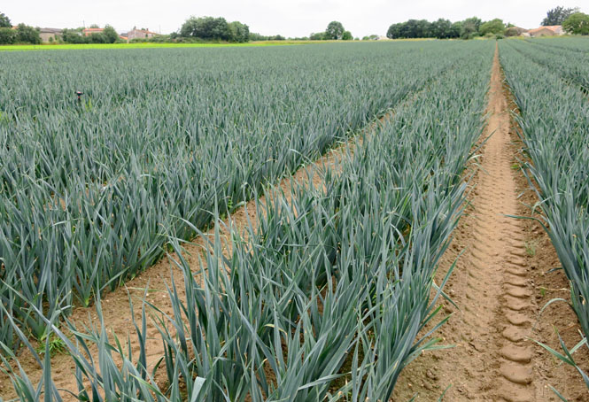
I suppose you could just call all these different crops, "salad."
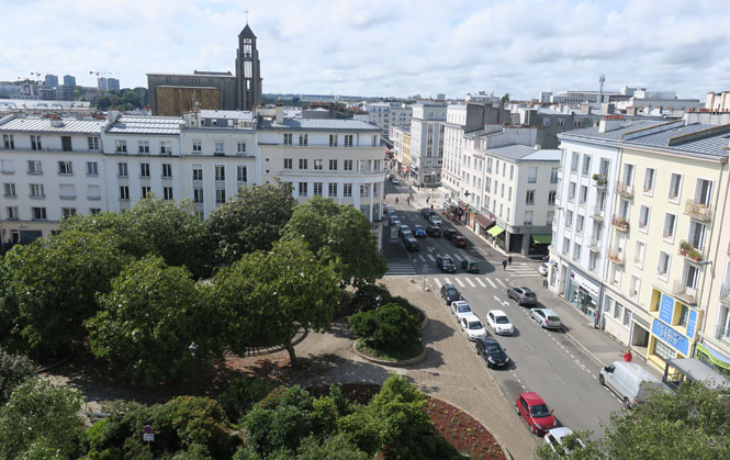
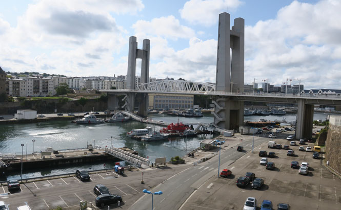
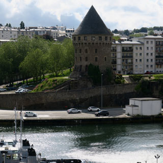
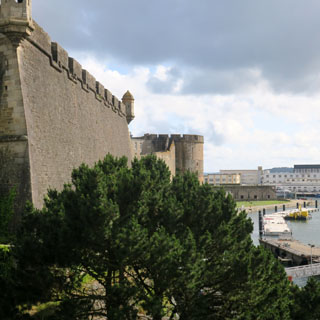
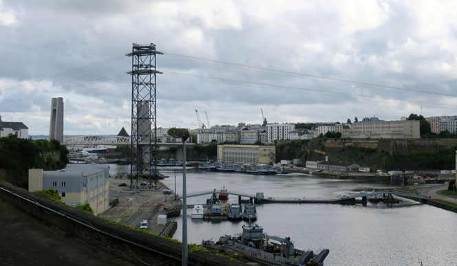
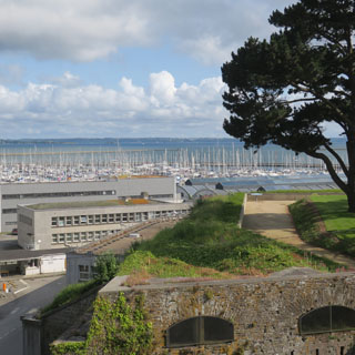
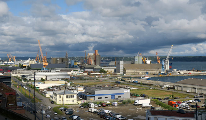
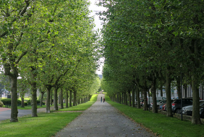
Brest, France. It's immediately clear that Brest was so heavily damaged during the war that they chose to clear-and-build-anew rather than attempt to re-create what was once here.
My hotel is in the center of town, which makes it easy to walk around. Parking is just across the street.
Make a note of that cathedral with the open tower.
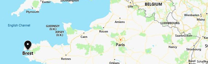
Why was it important for Germany to capture Brest and for the Allies to remove them as soon as possible? The map makes that clear enough.
The French navy now occupies some of the harbor and that area is not accessible.
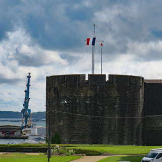
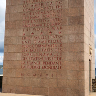
A monument to the cooperation between the French and U.S. naval forces.
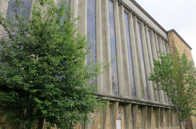
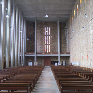
The completely rebuilt Église Saint Louis. If you wanted to build a new cathedral out of the rubble, but with a total break from the past, this is it.
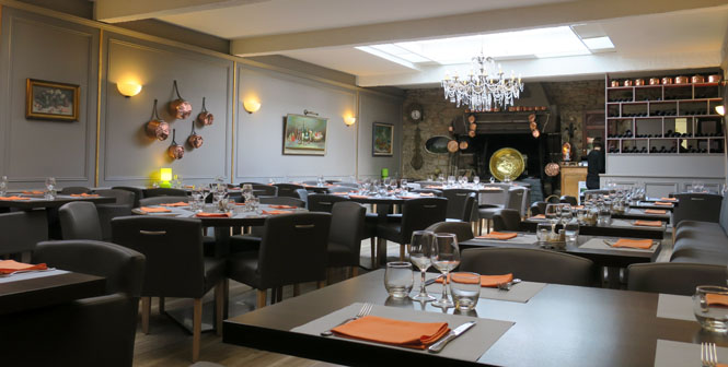
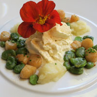
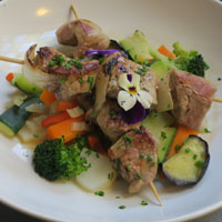
Restaurant La Chaumière. I'm early (7:00pm), but the place did mostly fill by the time I was ready to leave. I asked at my hotel front-desk for a good place to eat (particularly food from Brittany), and they sent me here. They were right.
I've got a full day to just ride around Brittany before ending at Roscoff, from where my ferry will depart tomorrow morning. Naturally, the forecast is for rain all day--but, with some periods of no rain.
Port-Launay, Finistère.
Châteaulin, Finistère. I would sometimes get confused about which way to the ocean. It all flows to the Atlantic, but it's not always so clear which direction the river takes to get there.
Locronan. The town is a bit too pretty as there were a couple of tourist busses that soon arrived, letting loose lots of people.
On the horizon you can see the Atlantic Ocean. If I stayed on this narrow road, it would eventually become a footpath to take me there.
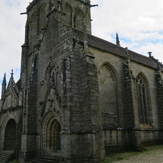
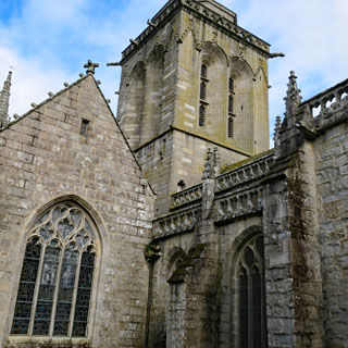
This church has had layer-after-layer of new construction over the last thousand years, or so.
Scaër, Finistère.
Kernascléden.
L'église Notre-Dame de Kernascléden (current structure between 1420 and 1464). What was once an entrance, no longer is; things change.
No question, but that we're in Brittany.
The Danse Macabre. These old murals were uncovered in the 19th century. Such images (of the poor and the rich alike being equal after death) are out of fashion, but luckily they were only covered up and not destroyed.
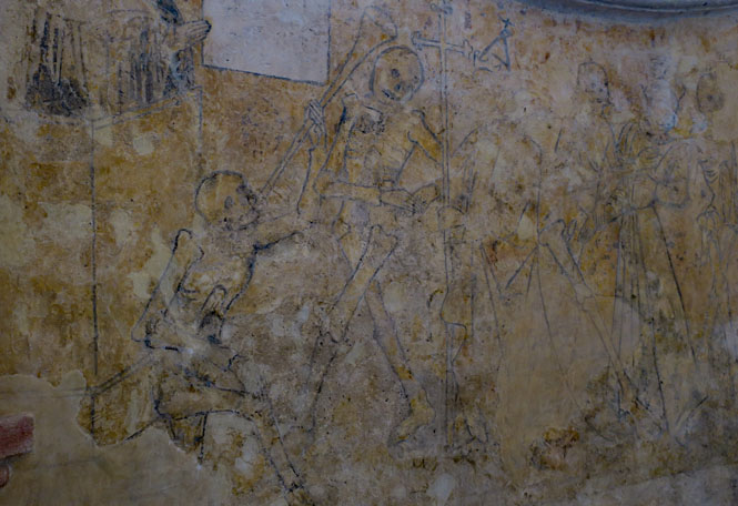
Really amazing artwork; and, especially that it is still here.
Cleguerec, Morbihan.
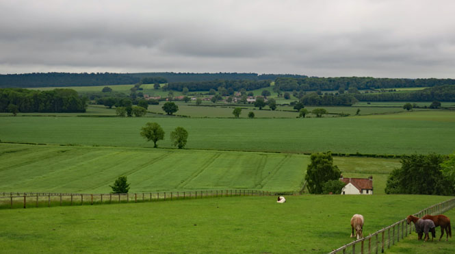
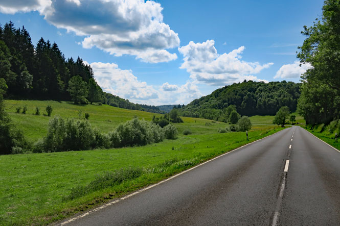
A view of the Brittany countryside. It's a nice region of France to ride through. It has its own character.
Château de Corlay (12th century).
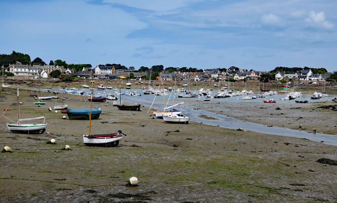
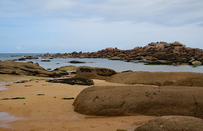
Trégastel. There's clearly a healthy tide around here.
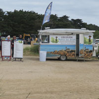
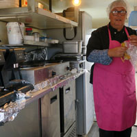
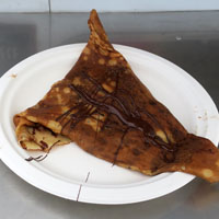
Diben Braz . I cannot ride any farther without hitting water. I'll stop at this small craperie-on-wheels for a chocolate and banana crepe before heading to Roscoff for the evening.
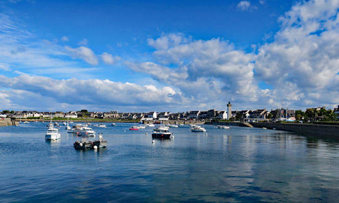
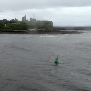
Roscoff, France. Of all the ferry ports for crossing to England (or Ireland), I think this is the best. It's comfortable, has plenty of places to stay, and the short route to the ferry terminal isn't confusing.
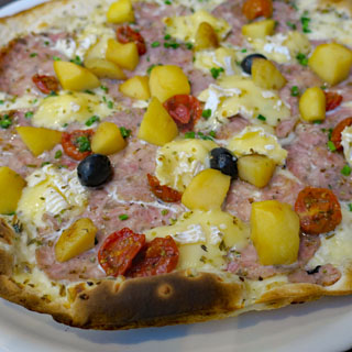
My pizza is locally sourced. Would I have it again? Perhaps not, but it was good.

This will be the end of my grand re-routing from my intended ride to Spain. Once I land in Plymouth, I'll be back on course.
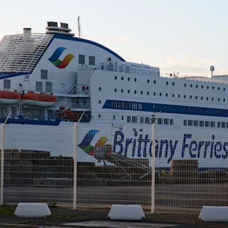
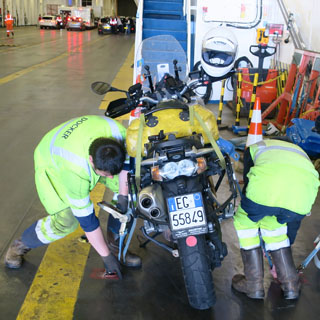
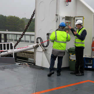
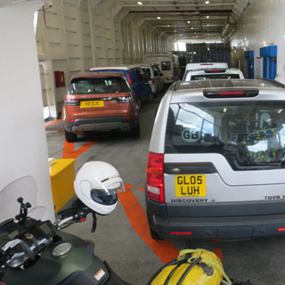
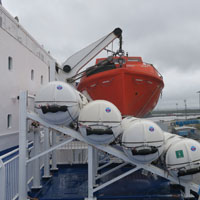
Brittany Ferries does the very best job of any ferry of organizing the loading process. They also take care of strapping-down every motorcycle and they do it with care and competence and the right equipment.
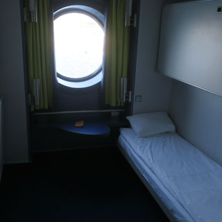
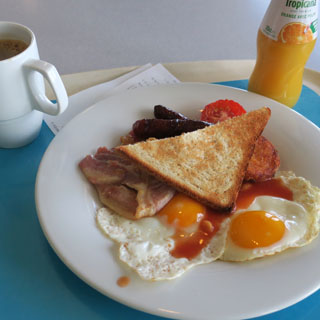
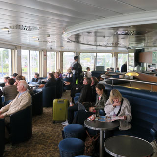
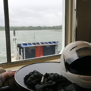
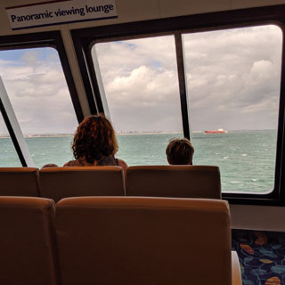
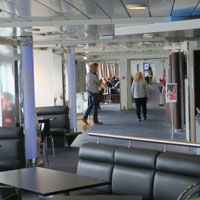
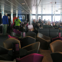
I'm boarded in the early morning and have settled into my cabin; let's go have a proper English breakfast.
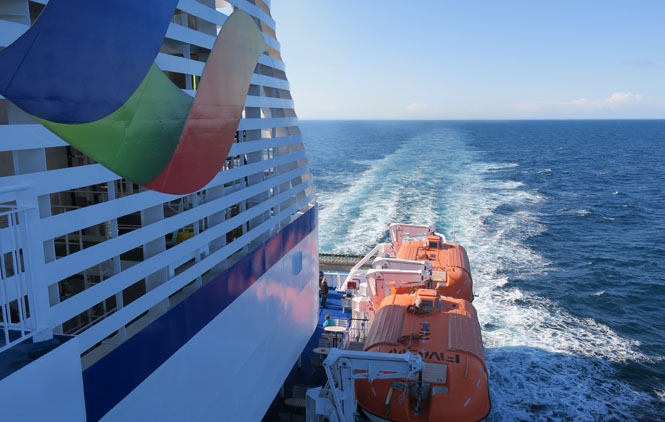
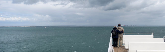
As with other Brittany Ferry crossings, there are volunteer whale (and dolphin) watchers taking notes and gathering statistics. I asked, and was told they hadn't seen anything yet this morning. I suppose no numbers is still valid data.
The United
Kingdom
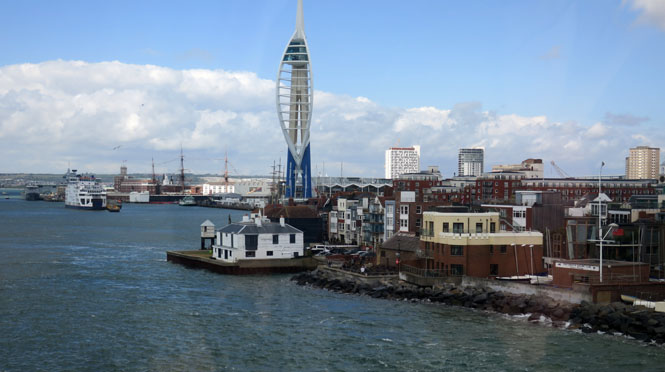
The ferry arrives at Plymouth, England.
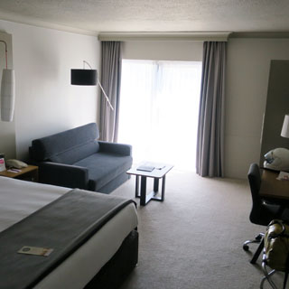
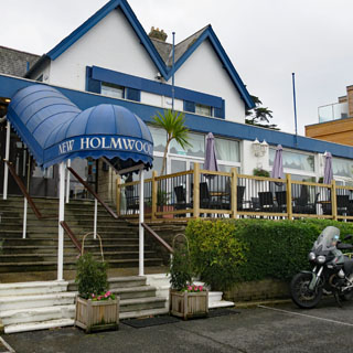
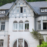
I've stayed at this hotel before. It's nice, is in a good location, has a great view (see below) but is otherwise properly boring. But, I now know where to find the underground parking without any trouble.
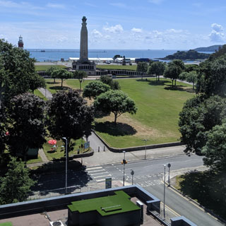
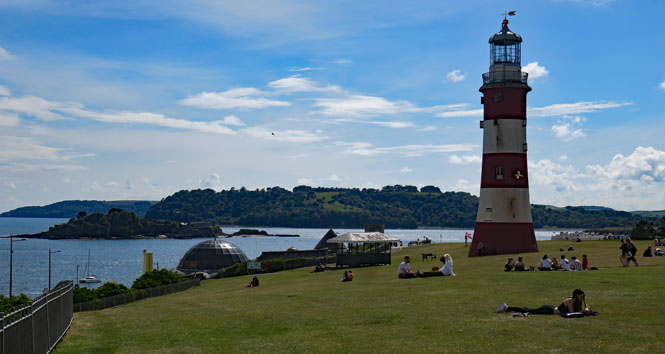
The Plymouth Hoe. Folks are out for the sun. It wont last, so best to enjoy it. Today is the anniversary of the D-Day landing, some of the support and landing vessels originated here.
The ratio of sitting-around-drinking-and-talking to playing is high, I think. Anyway, I never saw any action.
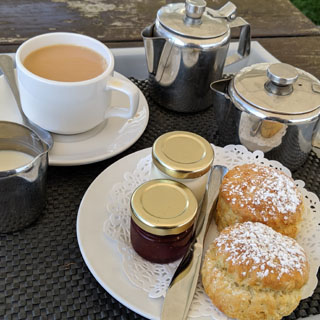
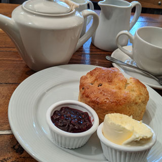
I failed last year to have a proper cream tea at the Royal Theater (at the suggestion of my aunt Ruth), so I made an effort to do that this time (even if not at the theater). This was good. Devon is especially proud of their cream tea and everything that goes into it (even if they must make reference to Jersey cream and butter).
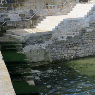
The crew and passengers of the Mayflower (sailing to Plymouth, Massachusetts) started from these very steps (even if these look a little too nice and new).
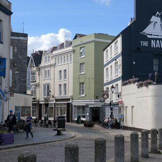
Walking the Barbican of the Plymouth waterfront. There remain enough sketchy people (who might yell most anything at you) to give the place character.
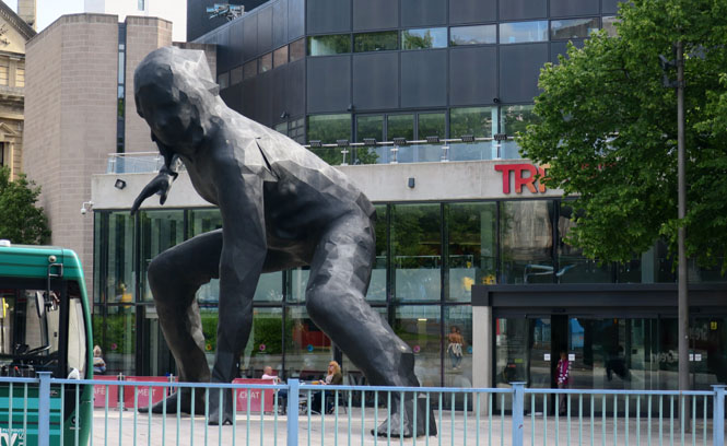
This extra-large sculpture was first called "Bianca" but, is now known as "Messenger." It arrived in Plymouth from the foundry in Wales on March of this year, in time for the 2020 celebration of the 400th anniversary of the Mayflower sailing. It's in front of the Theatre Royal.
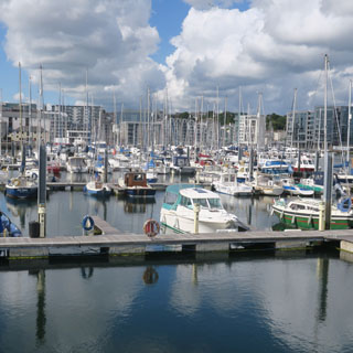
The view from my hotel top-floor lounge of the old harbour and the barbican district (notice the gin distillery smokestack). The Royal Navy base is on the other side of Plymouth, which is why this oldest part of Plymouth didn't receive nearly the same bombing destruction.
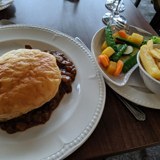
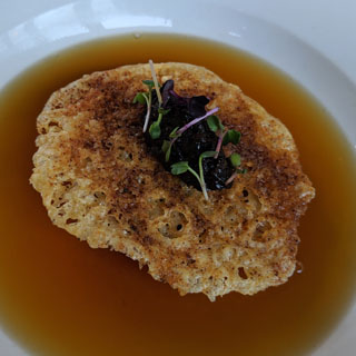
I'm becoming accustomed to British food.
Riding north into Dartmoor. It's raining (of course), but it's also quite foggy.
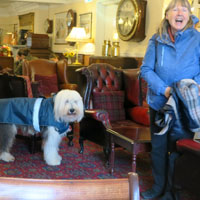
Two Bridges, Devon. This is one of the bridges over the Dart River, the other is gone. It's raining so hard, I really need to stop and let the worst pass over (if it will). I'll have a cuppa tea, thank you.
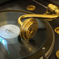
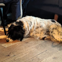
...and a dog named Tiger. Our hostess has just bought a new 78 record for her vintage Victrola. It's a Little-Richard original--pressed in the U.K. I didn't realize that what would have been a 45 in the U.S. was still released in the U.K. on 78.
Turning east, and following any road that isn't blocked and closed. I hit even more closed roads in Brittany, but that wasn't so much a nuisance as I really wasn't going anywhere. I think I hit close to thirty roadblocks on my last day there.
These road closures were becoming a problem. Little warning and no directions as to where to go next. In this instance, a man rolled down his window and told me how to get to the next town.
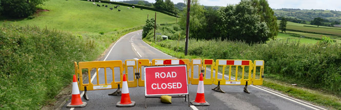
I followed his instructions, but I wasn't too sure I wouldn't end up in a creek...
...this is better.
It's nice to see some blue sky.
Tonight I'll be on the Isle of Wight.
The ferries run about every hour (or more). I hit this one perfectly. I rode up to the ferry building to buy my ticket and was then able to roll onto the ferry without any waiting.
Between the Isle of Wight and the mainland is a waterway known as The Solent. My hotel faces it. The British have always pretended that the Isle of Wight is a warm Mediterranean get-a-way. It isn't, of course (certainly not when I was there), but it's nice to think of it that way.

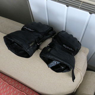
I'm hoping that things will be mostly dry by tomorrow morning. The Aerostich Roadcrafter R3 suit is waterproof as are the boots; but, my heavy cold-weather leather gloves are a concern.
Goodness, what a pleasant place this is.
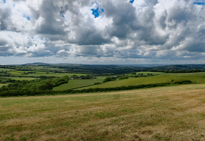
I'll mostly be riding around the island.
My photos don't show it, but there are several good-sized towns on Wight.
Looking at the far western tip of Wight from nearby the village of Brook. Not quite visible here is the formation at the very tip called "The Needles."
Chale.
The wind along this southern coastline is fierce.

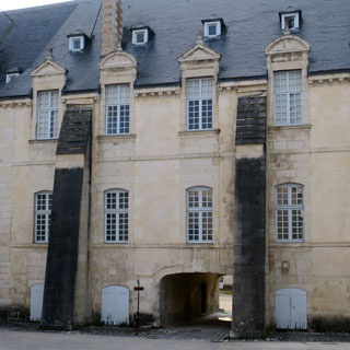
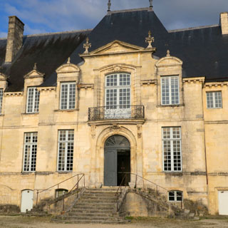
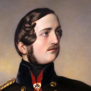
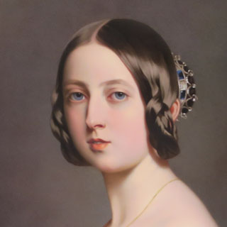
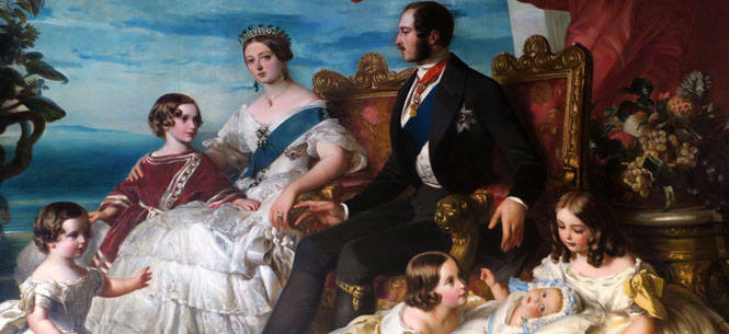
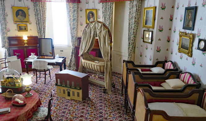
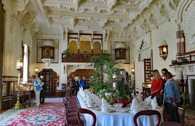
Osborne House was the retreat for Queen Victoria and her husband, Albert. They bought the estate that once was here, Albert directed the building of the Italian villa, and the two of them furnished it and selected all the artworks inside.
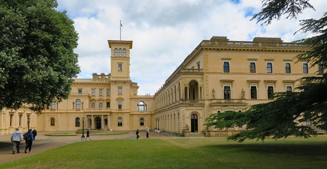
They were both quite knowledgeable about art (both paintings and sculpture). I asked one of the attendants if today's art historians think they did a good job at putting the collection together and he said they do. Much of what Victoria and Albert bought was new at the time, but they did a good job at selecting what was worthwhile.
The house is now run by English Heritage. What is inside is little changed from how it was before Victoria died.
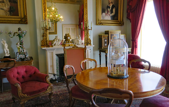
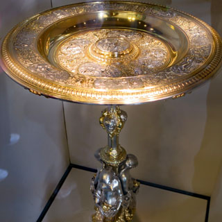
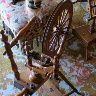
The table, or Rosewater Dish (below, left), was a gift to Victoria from Albert and is a copy of the original in the Louvre, Paris. It was so admired that a copy of the top would become the Ladies' Singles Trophy for the Wimbledon tennis championships. On the right is Victoria's spinning wheel. She started spinning after Albert died.
Albert's desk was left unchanged from the time he died.
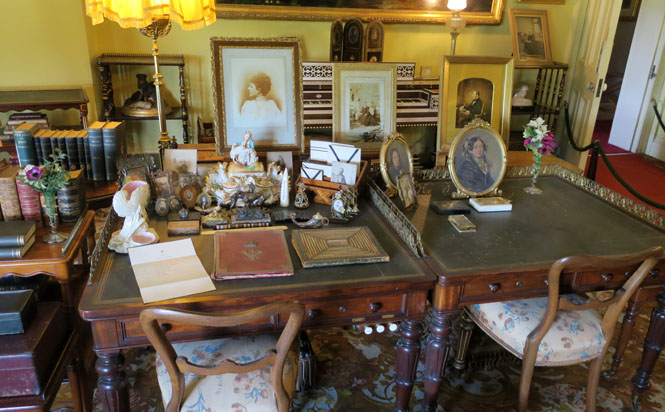
Victoria's desk.
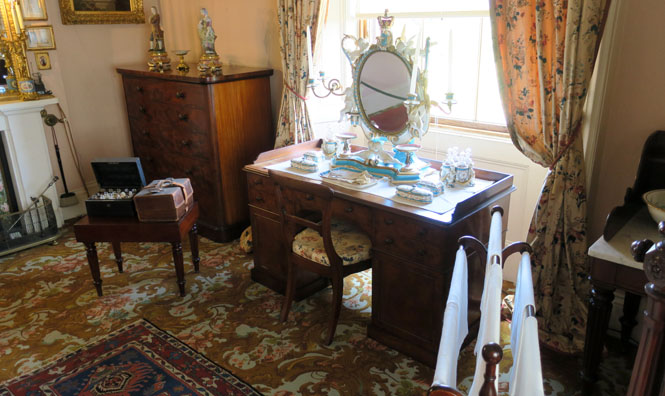
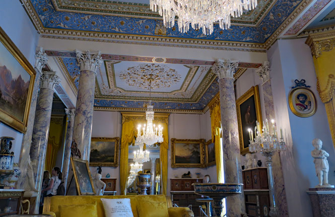
The dining room for state occasions.
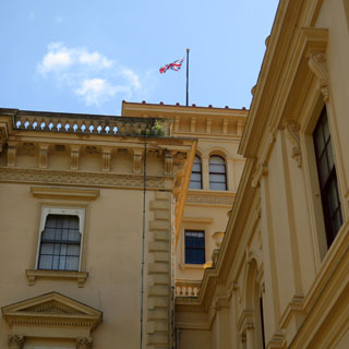
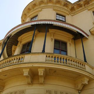
Looks like Italy, right? That was the idea.
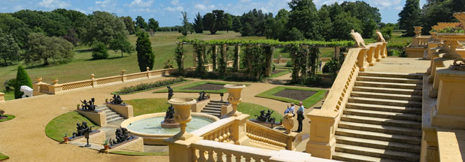
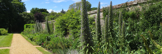
Inside the walled garden. Notice the "V" on the trellis.
I came onto the island from the west end (at Lymingon), and will be leaving by a much larger ferry to Portsmouth. It's about twice as far on this trip. Again, I was lucky; the ferry was loading just as I rolled up.
Portsmouth. Whenever I see that tower, I think it looks like the eye of a giant needle that's been stuck deep into the ground. But, it's supposed to look like a spinnaker sail. Oddly (it seems to me) the city sold the naming rights to the tower so that it is now known as the "Emirates Spinnaker Tower."
I found my way out of Portsmouth surprisingly easily. Their signage is good (and it helps that I've been here before).
Billingshurst, West Sussex. I stopped here (on the sidewalk) to figure out where I wanted to go, and realized that the "button roundabout" just in front of me is where I needed to turn right. Off we go.
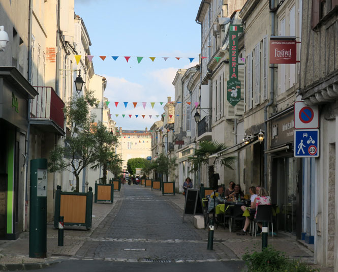
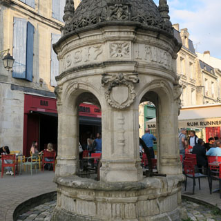
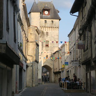
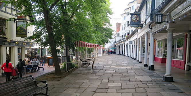
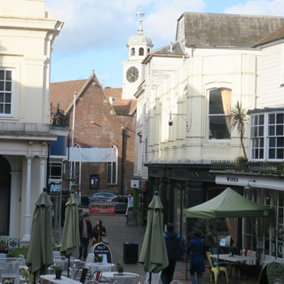
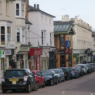
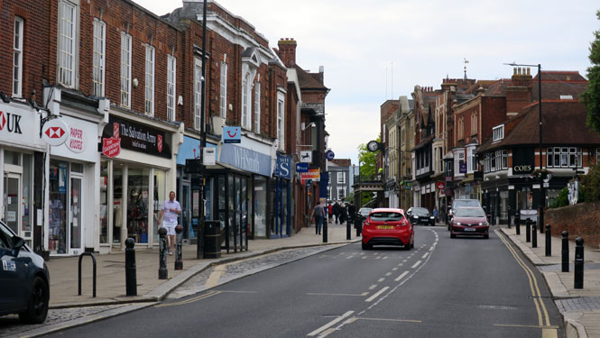
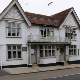
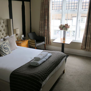
Royal Tunbridge Wells, Kent. This looks like a nice place to stop for the night.
This long pedestrian area is known as "The Pantiles", the promenade where the best people could be seen (including a young Queen Victoria). The columns were put here after a fire of 1687.
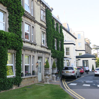
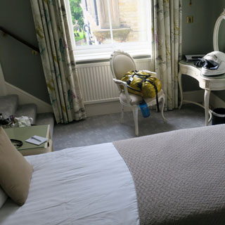
My hotel has been here many years. The stairs go to the bath.
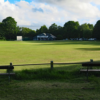
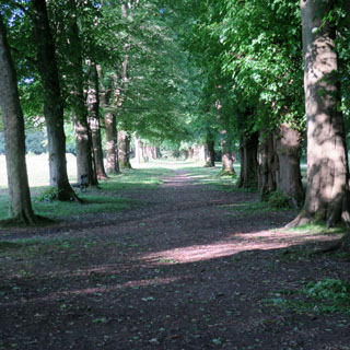
Walking across the commons from the hotel to the city. This was once common grazing land, but since that all ended around the time of the first war, the ancient forest has started to come back. It's now being managed.
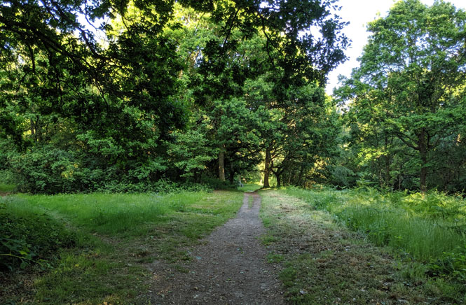
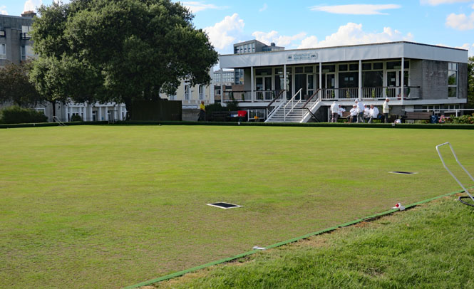
An unexpected cricket field surrounded by what seemed to be untouched forest (it isn't, of course).
Tunbridge Wells has long been a place where people would come for the beneficial waters. It's what is known as Chalybeate Water, which evidently means it contains minerals including iron salts. What does the water do? It cures...
"the colic, the melancholy, and the vapours; it made the lean fat, the fat lean; it killed flat worms in the belly, loosened the clammy humours of the body, and dried the over-moist brain."
Incidentally, only three towns in the U.K. are allowed to have the prefix of "Royal."
The back view of the hotel.
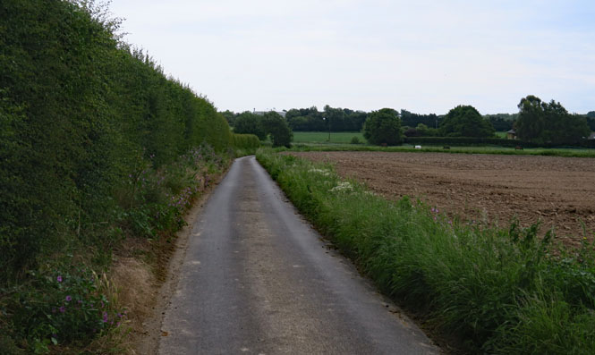
Continuing east. Sometimes the roads aren't so wide, but this is an extreme example.
I knew I'd be riding through Canterbury, the location of perhaps the most well-known cathedral in England. I decided that if the weather held good (no rain) and the traffic wasn't nuts, I'd stop and modify the rest of my route for that day. Else, I'll just keep going to the coast. I kept going; perhaps I'll see Canterbury Cathedral on another trip.
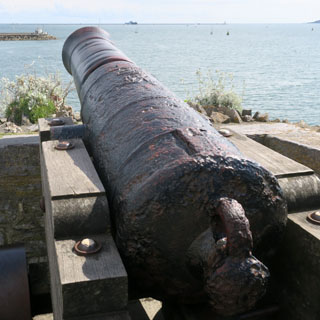
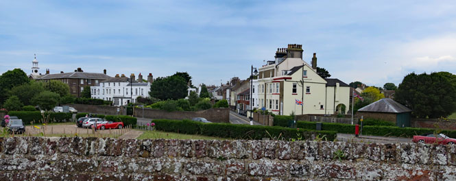
Deal, Kent. It's possible that this is where (more or less) Julius Caesar landed, starting an occupation by the Roman Empire that would last the next 450 years.
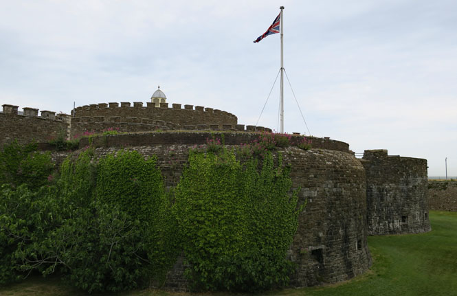
It was Henry 8th who had this defensive castle built (and others along the southern coast) to protect against a possible invasion by France.
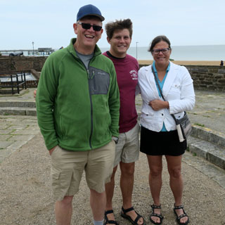
What are the odds? I've known Sid since my days at Cessna (a place that neither of us works, today). So, I'm talking with a museum volunteer and look up, and there's Sid! Hey; I know you...
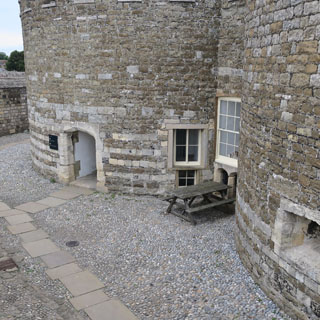
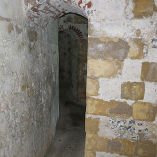
The castle has had a long history since it was built (including being used as a house and being bombed during WW2) so, it's in a remarkable good state after being renovated as a museum now owned by English Heritage.
A flashlight is advised if you want to walk the lower passageways that encircle the castle (giving access to all the cannon placements). It's very dark down there.
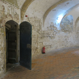
Some of the artifacts that have been found are on display.
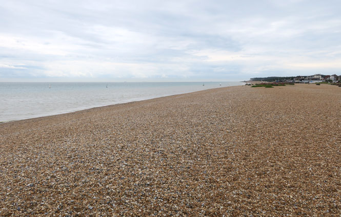
On the beach of Deal. Just on the horizon (and within sight) is the coastline of France. This would be an obvious landing-place for an invasion from that direction, so it makes sense to put the castle (and later WW2 observation installation), here.
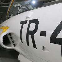
RAF Manston Station, Kent.
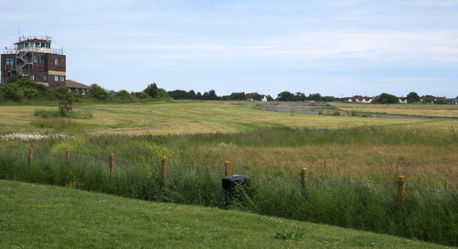
RAF Manston is just up the coast from Deal. The map shows why there was an RAF station here, and also shows why this airfield was heavily bombed by the German Luftwaffe during the Battle of Britain. The RAF (then called the Royal Flying Corps) was here in WW1, as well, to protect against Gotha Bombers.
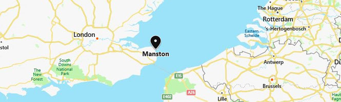
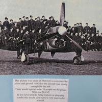
Manston Station was a base for Hawker Hurricanes, but all types would have come through. In fact, so many airplanes set down here during emergencies that the bone yard of crashed airplanes became a source of spare parts to keep the others flying.
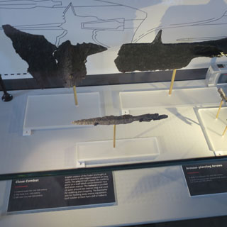
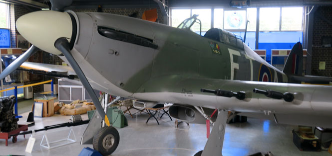
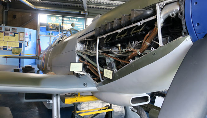
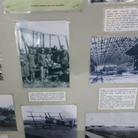
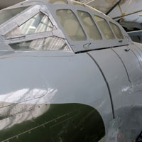
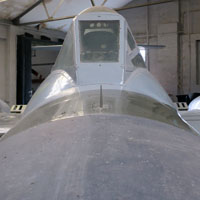
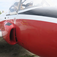
The Spitfire & Hurricane Memorial and Museum at Manston.
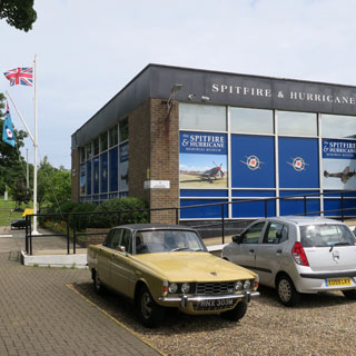
They have nice examples of both a Spitfire and a Hurricane.
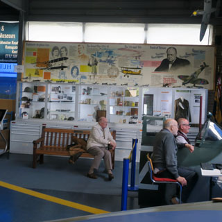
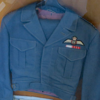
There's also an impressive collection of items that have been donated back to the museum by the families of the men who served here.
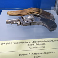
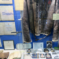
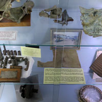
I was especially interested in the many planning and mission documents--just the ordinary paperwork that would need to be done even in the highest pressure during the battle-of-Britain, but could so easily have been tossed away, but for the interest of the people who saved it all.
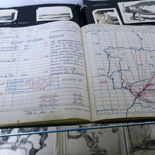
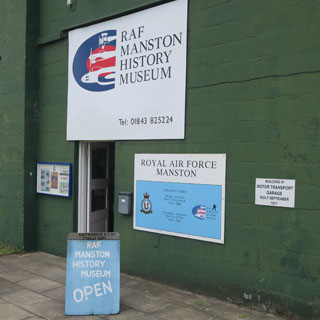
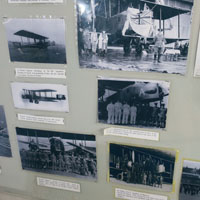
Just next door is the RAF Manston History Museum. The two museums have no connection, but I would imagine the people involved are well-acquainted and supportive with both.
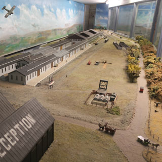
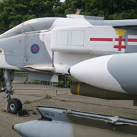
The history museum covers the time before and after WW2 at the field. There's a good outdoor display of some of the RAF planes from the 1950s through 1970s that were once based here.
I had other destinations in mind, but the weather wasn't helping. So, I'll just get around London (meaning over--or under as it happened--the River Thames) and then carry on towards the north.
Maldon, Essex. The huge Thames Estuary is formed not just by the River Thames, but several other rivers as well. Here, it's the Blackwater River.
I'm staying at "The Swan." That's the wrong sort of bird flying over the roof.
High-street runs right down to the river (becoming Church Street), and the docks.
St Mary's church dates to Saxon times and was rebuilt by the Normans in 1130. Repairs were made in 1636 (notice all that red brick in the upper part of the tower).
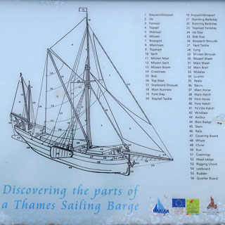
Thames sailing barges were built in Maldon and were used for centuries to move goods up and down the rivers and along the coast. If you look at the map and think in terms of water transport instead of roads (for crops, coal and construction materials), the need for lots of sailing barges makes sense.
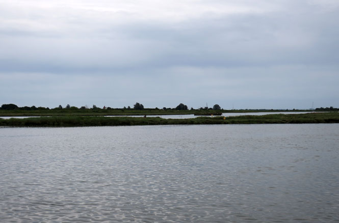
These boats have a very shallow draft (using side keel boards), so any conventional sailing ship would be well-advised not to try to follow one of these over the mud flats of the estuary.
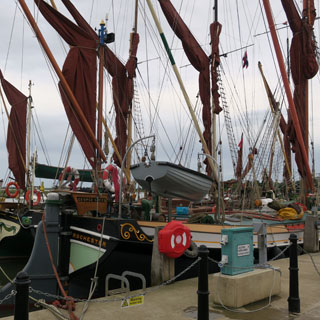
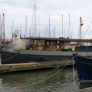
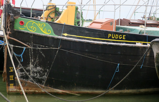
Thames sailing barge Pudge was built in 1922 and is one of the last wooden barges to be built. Her last freight run was in 1968.
Her working life as a cargo carrier was interrupted in spectacular fashion by the Second World War when she was requisitioned in May 1940 whilst in Tilbury, drafted to Dover and thence to Dunkirk to aid the evacuation.
Three barges including Pudge were taken in tow by a tug and crossed the Channel under cover of darkness. As they reached the beaches at Dunkirk an explosion lifted Pudge out of the water and, in the words of her skipper, “she came down the right way up”. She took onboard survivors and set off for England, picking up a tow from a tug on the way, to arrive safely back at Ramsgate.
Pudge is one of only four of the Dunkirk Spritsail Barges that survive. Pudge is a member of the Association of Dunkirk Little Ships and is entitled to fly the flag of St. George.
--www.bargetrust.org
At "The Swan" for breakfast. This was the best.
The next morning, it's pouring down, again. This is becoming tiresome. The bike is not under cover, so I'll be setting up and starting out under a steady rain.
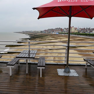
Felixstowe, Suffolk. It has been raining all morning, so I think I'll stop here in Felixstowe for a pot of tea and toast. I don't think it's ever going to let up, but I can hope.
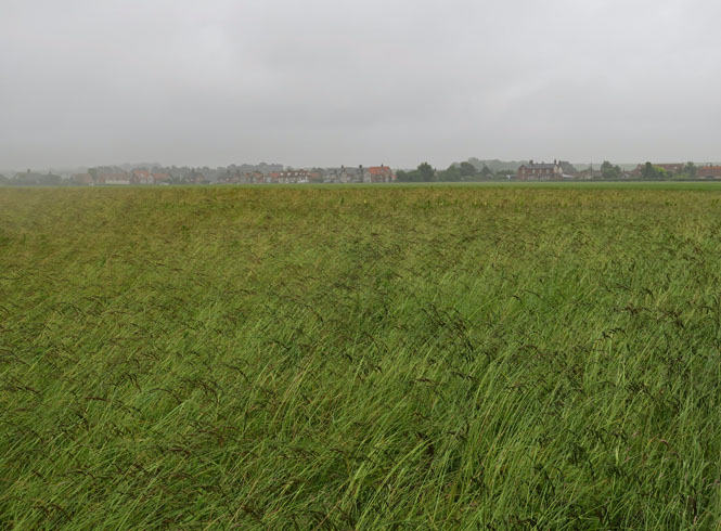
This is fen country, which means marsh, which means very flat. I don't know that it takes much rain for things to flood (we're just at sea level) and water is beginning to pool on the roadway. At times, I'm slowing down to ride through water that's a few inches deep.
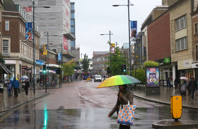
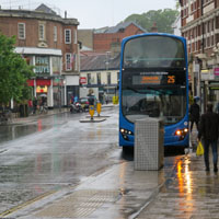
Norwich, East Anglia. I'm early for stopping, but I've got plenty of slack in the schedule and since there's little point in riding through blinding rain (at times), I'll stop in Norwich if I can find a good centrally located hotel.
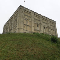
Norwich Castle (below, left) dates from the conquest. Rather unfortunately (to me) the castle was renovated in 1839, which gives it the updated Victorian appearance it has today.
This is both a cathedral town and a university town.
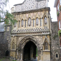
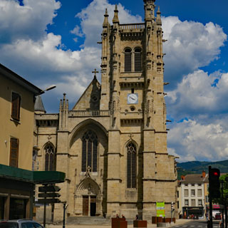
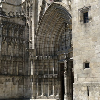
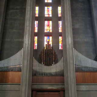
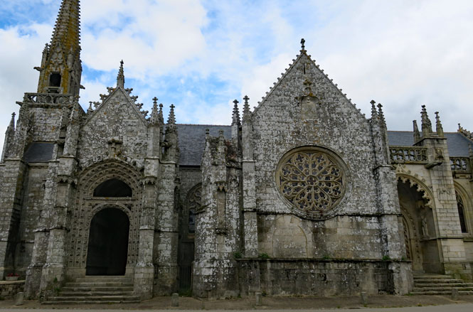
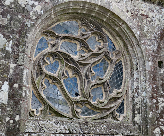
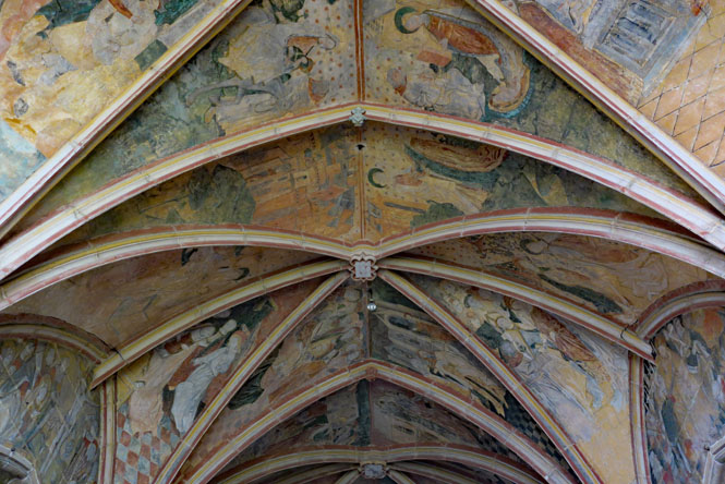
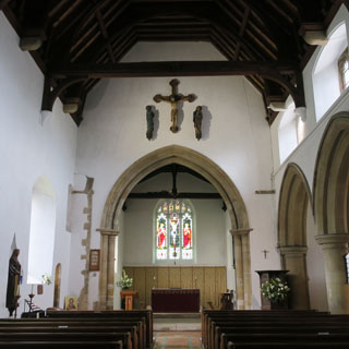
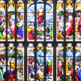
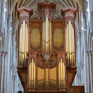
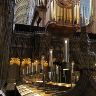
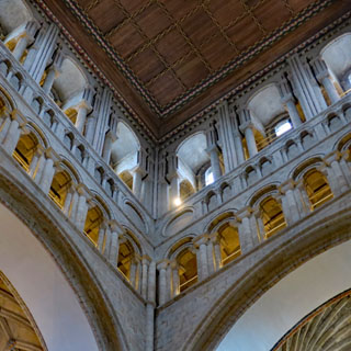
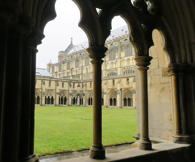
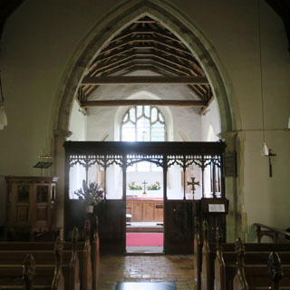
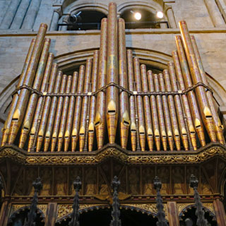
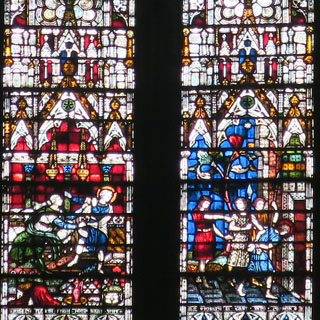
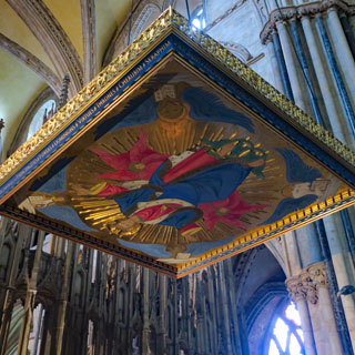
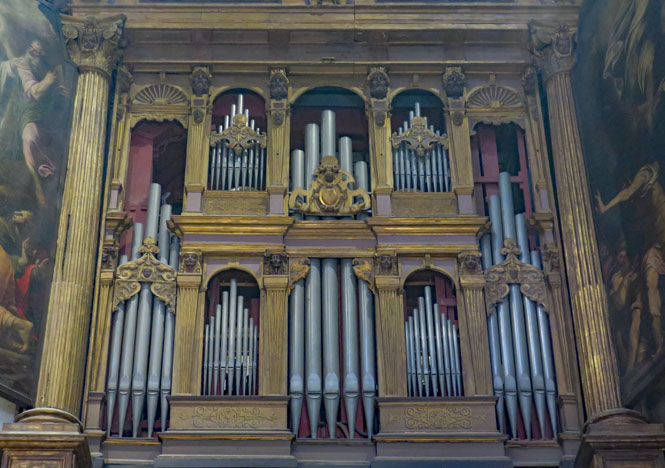
Norwich Cathedral (11th century).
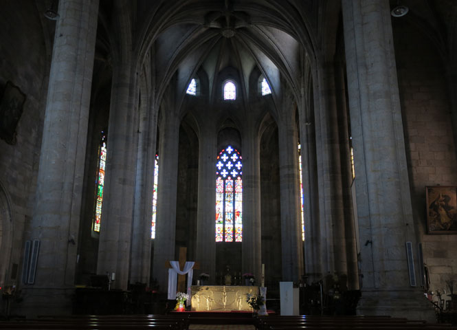
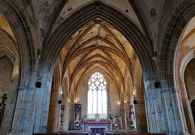
The Nave.
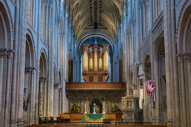
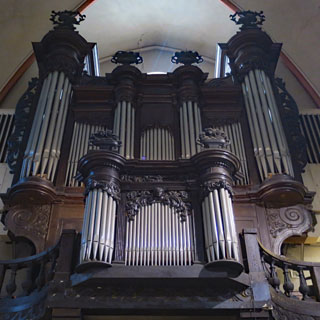
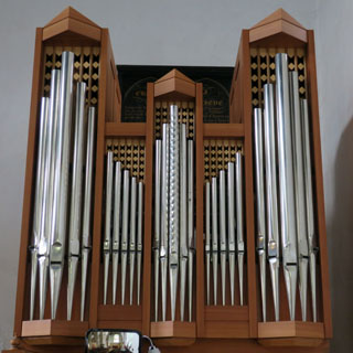
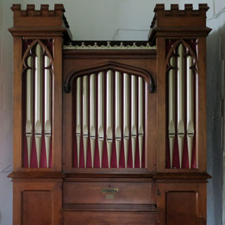
The pipes above face east and the pipes below face west. How many boys did it take to pump the bellows to power all this?
The Presbytery.

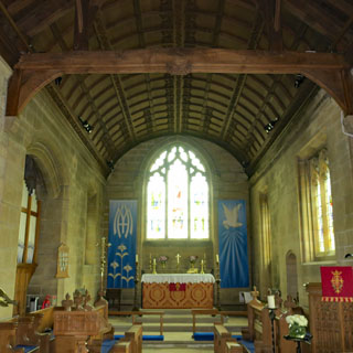
The Quire. I stayed for evensong, which was accompanied by the organ--it was exceptionally well done.
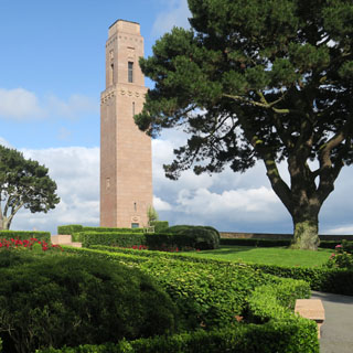
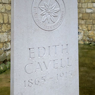
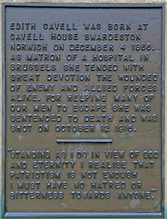
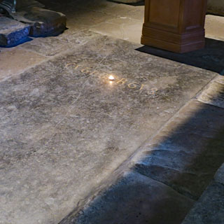
Nurse Edith Cavell was executed in 1915 by the German army and is buried here, next to the cathedral.
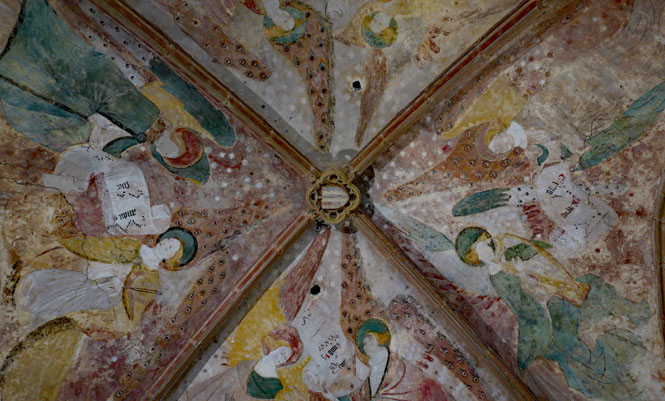
A view from the cloisters
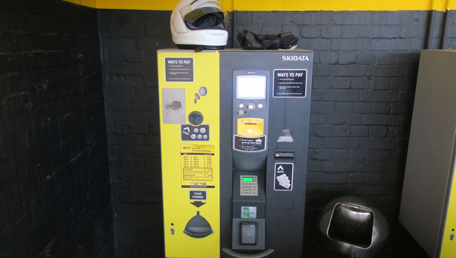
This is the most complex parking payment system I've seen. It starts with
taking a ticket on entering, then you need a second ticket to partially validate
the first (you get that from the hotel desk).
Insert the first in this
machine, then insert the second, then insert your credit card and receive yet
another ticket. Now, insert that ticket when you leave and the boom will
rise. Except I never got past the second step without all sorts of
computer errors.
After talking on the intercom with an attendant, a real person arrived
and after more trouble (he had to return to his station to reset the
computer) I had the magic ticket and was able to leave the parking garage.
All for a couple of bucks. And, it's raining.
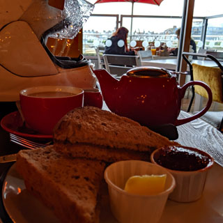
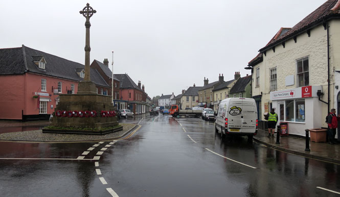
Holt. It's time for my morning cream tea to get out of this bloody awful rain. Of course, I'm not in Devon (so how good can it be?), but it's pretty good and I'm not so sure I can tell the difference. General good advice I try to follow: don't order coffee if everybody else is drinking tea; the tea will be better.
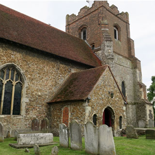
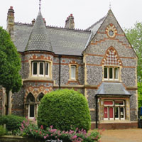
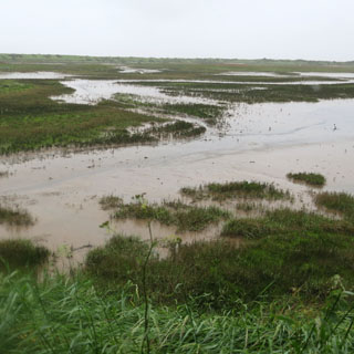
Titchwell, East Anglia. There are times when I really cannot see much in front of me for the fog and rain, so I think I'll stop at the next nice looking place. This is a pretty isolated coast, but clearly, plenty of people come here to watch the birds, or to just get away from things, so finding a hotel turns out not to be a problem.
The narrow horizon (below) is the ocean just beyond the hedge.
The Titchwell Manor Hotel and The Oyster Shed in back (that's my room) on this converted farm complex.
Will my gloves dry? It turns out, "no", but they're much better in the morning. Of course, I don't want to cook them, so I don't put them directly on the vent.
The guest lounge is nice, and dogs are welcome (and all are well behaved). Beer and bread and butter seems the standard thing, and that sounds very good to me.
I noticed they had Jersey potatoes on the menu, so I made sure to have a bowl.
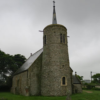
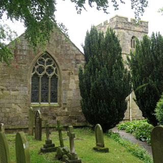
The parish Church of Saint Tichwell, St. Marry (possibly 11th century) this is an unusual round-tower church, which I've learned is rare in most of England, but is more common here in Essex. The church bulletin board had a notice for recruiting bell-ringers, so it seems a friendly place.
I've walked towards the ocean on a footpath before turning back to take this photo of Tichwell (my hotel is towards the right). By now, I'm being pelted by horizontal rain.
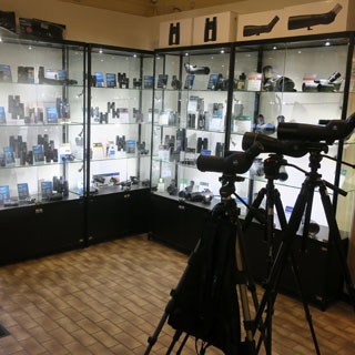
The Titchwell Marsh Nature Reserve, RSPB (Royal Society for the Protection of Birds) is about a mile walk from the hotel. They have an impressive selection of scopes for sale, just in case you've not brought yours.
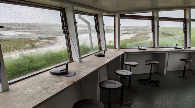
Another half-mile towards the ocean there are two observation stations to watch the birds. These are quite nice, although opening up one of those windows will drench you, today.
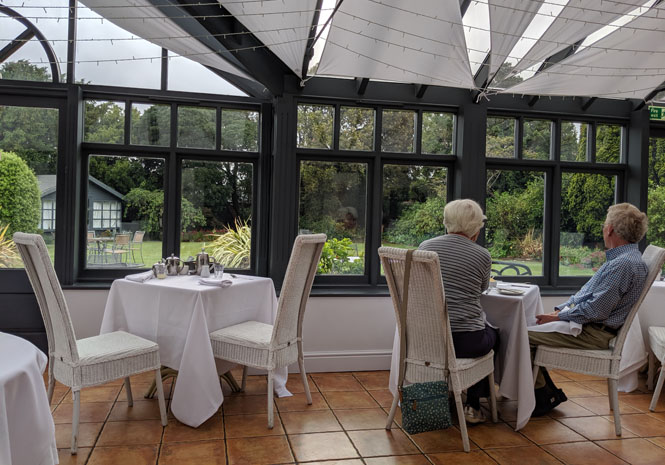
Breakfast the next morning is served in the solarium. Is it as nice as breakfast at Maldon? Perhaps. I guess all the dogs are still sleeping.
I've used up a fair amount of my slack in the schedule, but I'm still not in any rush to ride north. It's always nice to see a bit of blue.
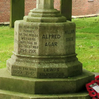
Wetwang, Yorkshire Wolds (called Wetuuangha in the Domesday Book). The poor town has been the butt of jokes forever, it seems. Perhaps they should have kept the old name.
St. Nicholas' Church (Norman era).
You'll find a similar WW1 memorial (modified for the next) in every town.
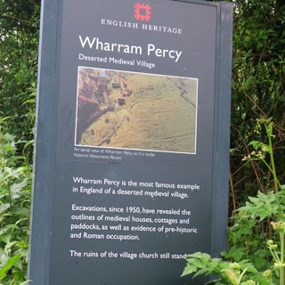
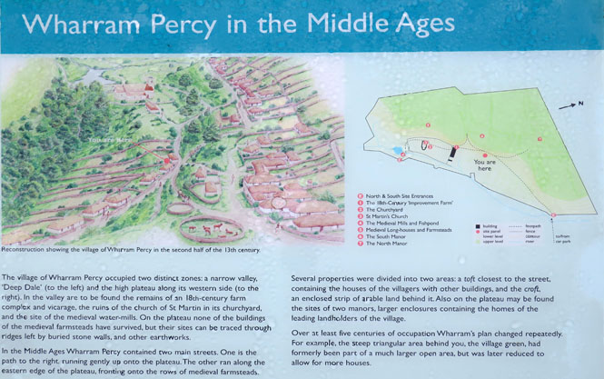
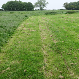
The Village of Wharram Percy is now an English Heritage site and is one of the better researched medieval villages. The path to the village site is not quite two miles from a parking area (which, in turn, is well off the main road).
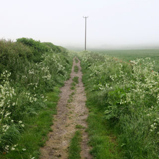
Evidently, this same sunken walking path is what was always used to get to the village.
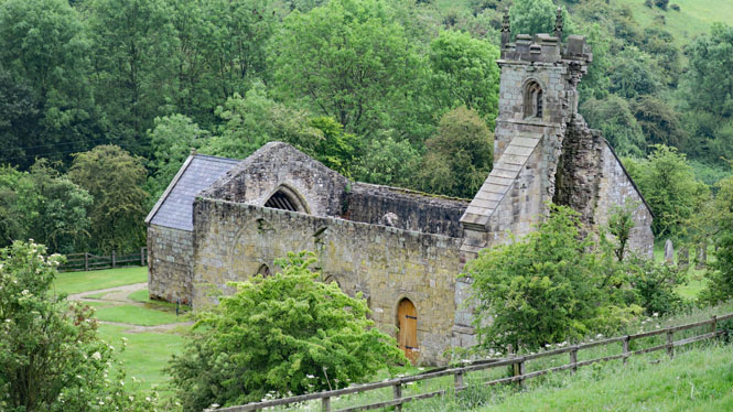
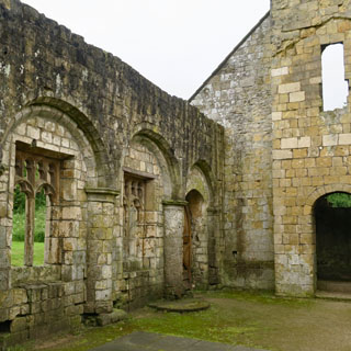
This farmhouse and the nearby church are the only buildings that remain.
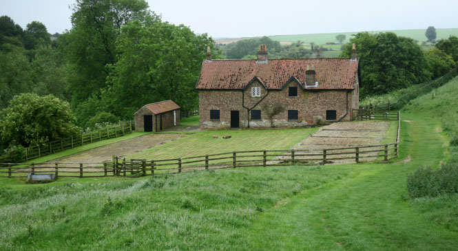
The residents of the town were all evicted by the land owner in the early 16th century to convert the land to more profitable sheep pasture. That was the real end of Wharram Percy. Only the outlines of the old town remain.
Later, sheep-farming again gave way to crops and new buildings were put up for tenant farmers, but in the 19th century, these were also demolished (save for the main farm house you see).
There's probably an appropriate saying about it being better to own the land than to work the land.
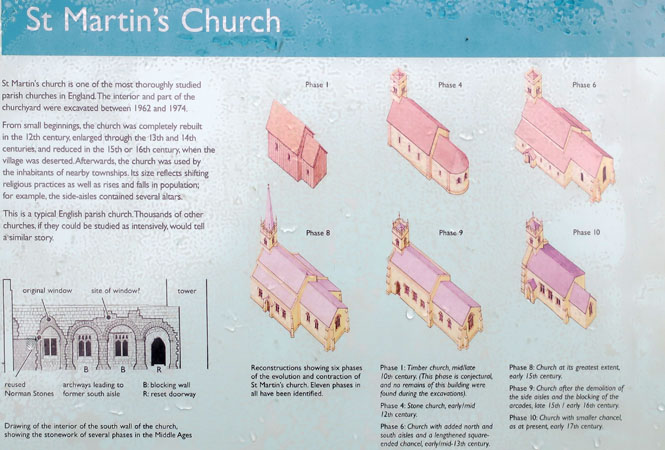
English Heritage has done a very nice job with signage throughout this archeological site. I've included just two.
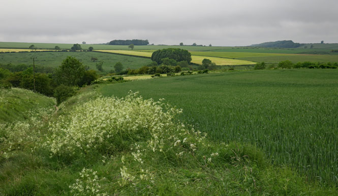
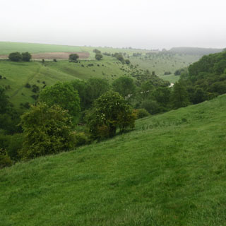
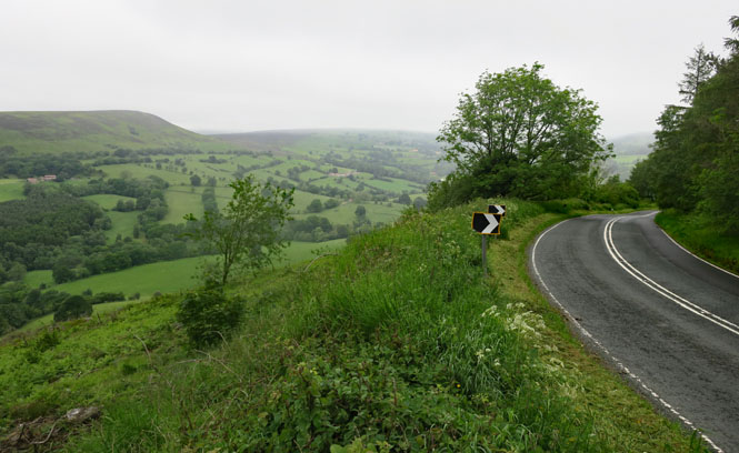
Riding the Yorkshire Moors. This is a beautiful area and there's little traffic.
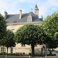
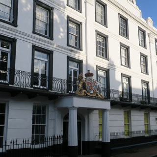
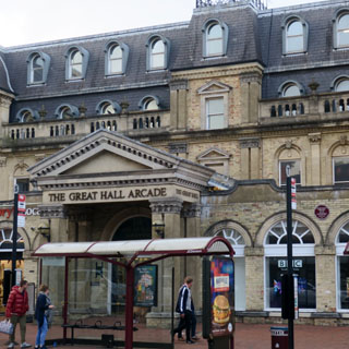
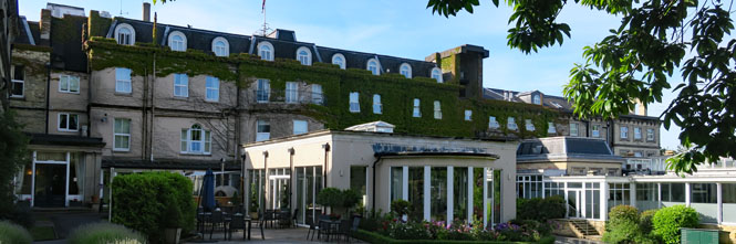
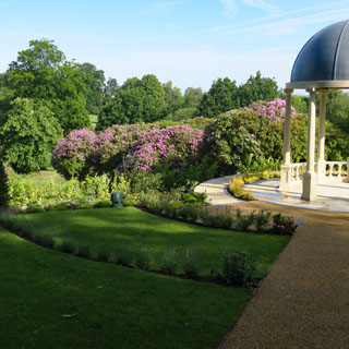
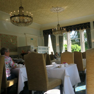
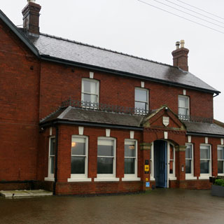
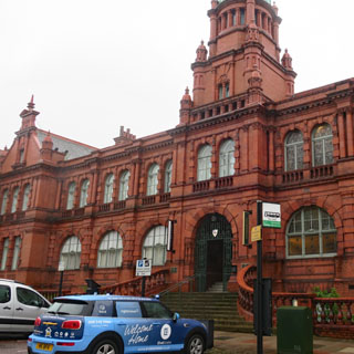
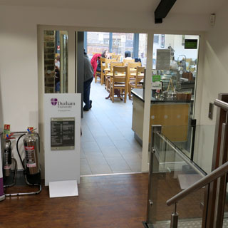
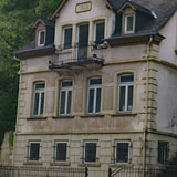
Durham. I knew I'd be staying in Durham (tomorrow I catch the ferry to Amsterdam), so I already had reservations, which is not my normal way on these trips. This used to be the city council house of Durham before being converted to a hotel. I've been unexpectedly upgraded to a rather nice suite.
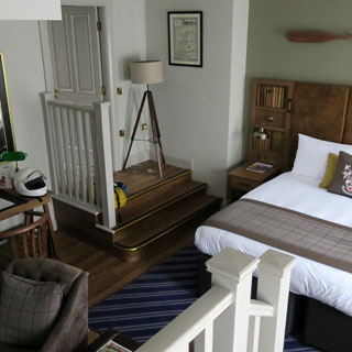
The nice thing is that as my ferry doesn't leave until evening tomorrow, I can just stay here (they're fine with a late check-out). The forecast is for lots more rain, so I won't want to be riding anywhere. Now, my gloves will be able to dry, completely.
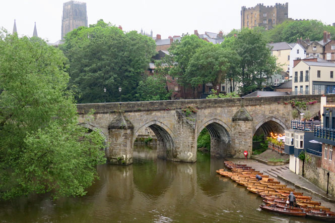
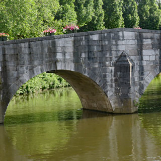
Elvet Bridge (1160) over the River Wear. My hotel is on Elvet Street, so this is all very handy.
Market Place.
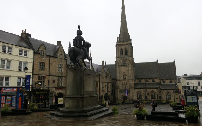
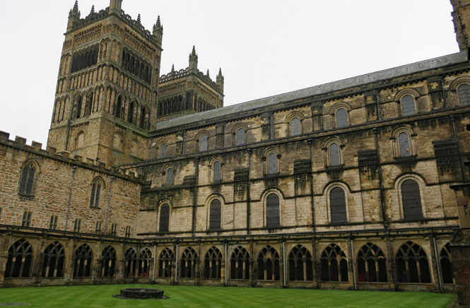
Durham Cathedral was begun in 1093. While moving inland to avoid invading Vikings, monks holding the remains of Saint Cuthbert were following a milk-maid and stopped here while being blocked by a dun-colored cow. That was the sign, so this is where they built the cathedral. Anyway, that's the story, and the street leading to the Cathedral is still called Dun-Cow Lane. I've read other slightly different versions of this story (all involving the cow), so I'm not sure...
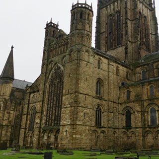
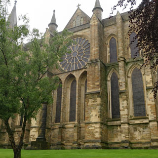
The view from within the cloisters
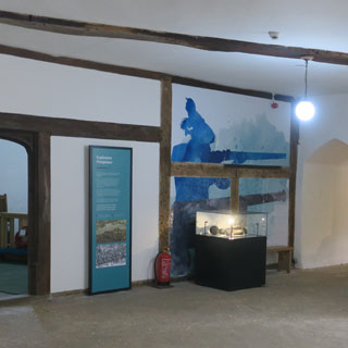
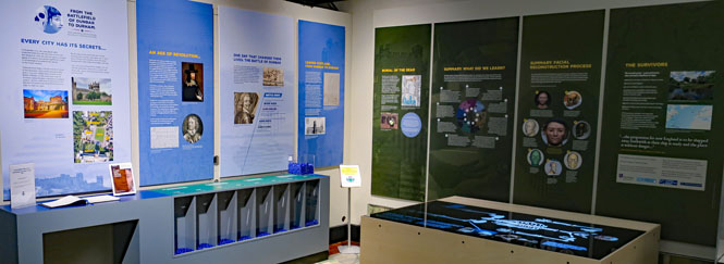
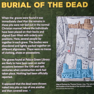
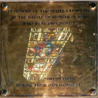
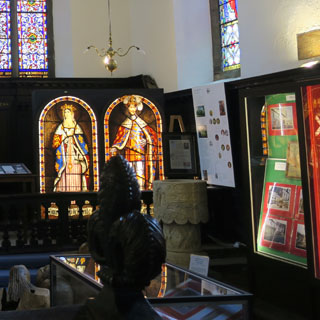
A primary reason that I'm here in Durham is the story of the Scottish soldiers who died in the cathedral* when it was used as a prison during the English civil war. There's a small display in the University Library and a special plaque just outside the cafe where part of the mass grave was recently found.
The display covers both walls as well as the lighted tabletop that explains what they've been able to tell about the physiology of the solders who were buried here.
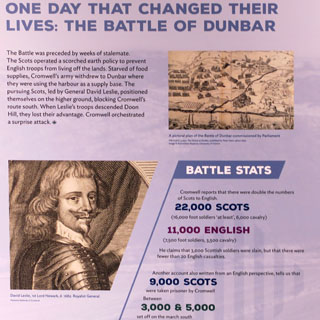
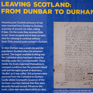
The Battle of Dunbar was one of the shortest and most brutal battles of the Seventeenth Century civil wars. In less than an hour the English Parliamentarian army, under the command of Oliver Cromwell, defeated the Scottish Covenanting army who supported the claims of Charles II to the Scottish throne.
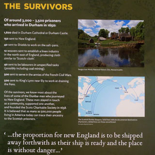
After the battle thousands of soldiers were marched over 100 miles from the South East of Scotland to Durham in North East England. Around 3,000 soldiers were imprisoned in Durham Cathedral and Castle, at a time when the Cathedral was empty and abandoned.
An estimated 1,700 prisoners from the battle died and were buried in Durham.
Those that survived imprisonment in Durham were transported to different parts of the world including France and New England, USA, where they worked as indentured servants.
---University of Durham website.
*My connection to one of the soldiers (who was transported) is as follows:
Henry Merrow (b 1625 Inverness, a highland soldier from Scotland,
transported to Massachusetts)
Deborah Merrow (Massachusetts)
Daniel Meserve (New Hampshire)
Joseph Meserve (New Hampshire)
Joseph Meserve (New Hampshire)
Joseph Meserve (Maine)
John Meserve (New Hampshire)
Fannie Meserve (Nebraska)
Joy J. Laughlin (Oregon)
Awanna Kalal (Oregon)
Daniel Kalal (California)
After considering options, including transferring the bodies to Scotland, it was decided to instead bury them in Durham.

When I was here a special visit by busloads of school children was happening, so large areas of the cathedral were often closed and photographs (in particular of the children) was prohibited at times.
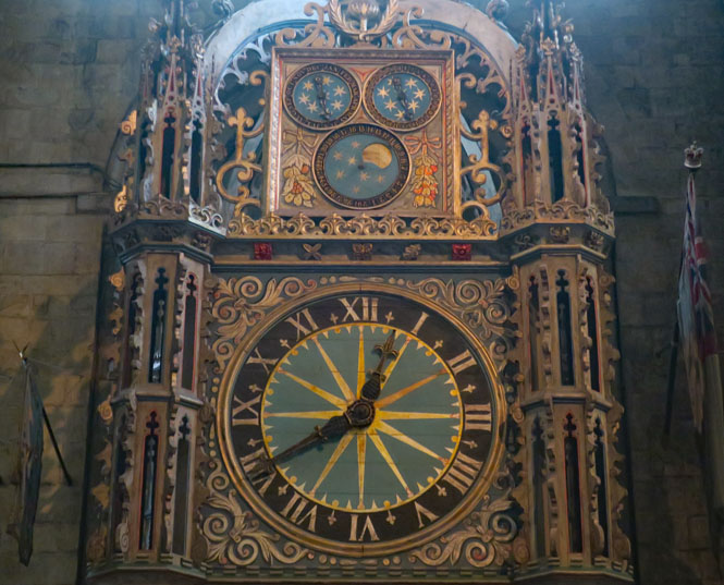
The Scottish prisoners were here under horrible conditions, and burned everything they could find to help keep warm. The one thing they did not burn was this large clock--owing to the Scottish thistles in the ornamentation.
Take note that there are 48 minutes in the hour. When did 60 minutes become the accepted standard? I don't know.
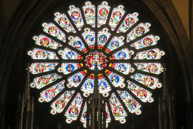
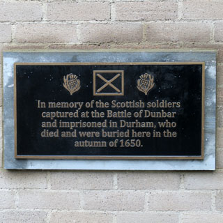
There is a brass plaque under the rose window on the east end of the nave to the Scottish soldiers. I would suppose there was less certainty of the numbers when this earlier plaque was installed as it's vague on the total.
IN MEMORY OF THE SCOTS CAPTURED
AT THE BATTLE OF
DUNBAR IN 1650
WHO WERE IMPRISONED IN THIS CATHEDRAL
MANY HUNDREDS
DIED
DURING THEIR IMPRISONMENT
The tomb (and canopy) of Saint Cuthbert.
The most remarkable things I saw are the books that the monks brought with them at the same time they brought the body of Cuthbert. They could only bring their most valued items (the Vikings having already looted anything of intrinsic value) and that would be their books--books with unadorned covers that were therefore ignored by the Vikings.
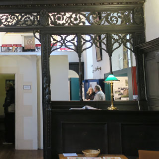
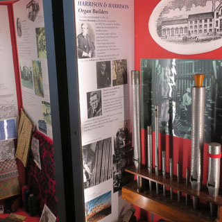
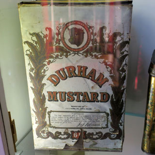
The Museum of Durham is in an old church, just a few steps from the cathedral.
Little did I know that Durham was known for rugs, pipe organs and mustard.
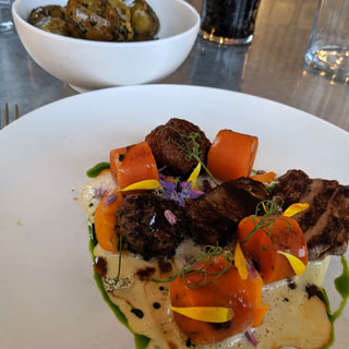
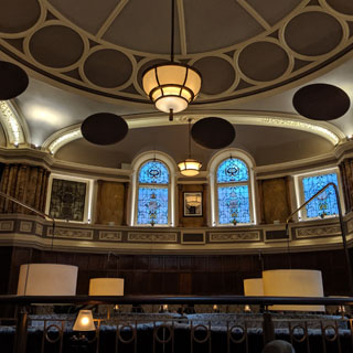
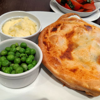
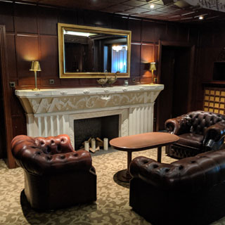
Dinner in the old council chambers (now the hotel restaurant). What I ordered seems a little understated for the surroundings.
North Shields (not far from Newcastle-upon-Tyne) isn't too far north from Durham, but it was a particularly unpleasant trip for all the rain and the uncertain signage that would guide me to the docks. But, I found it.
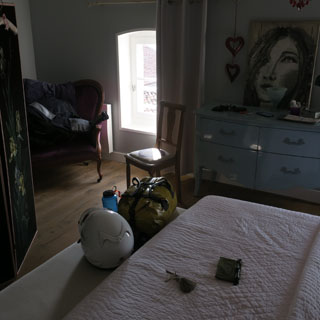
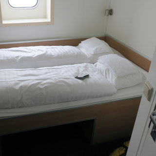
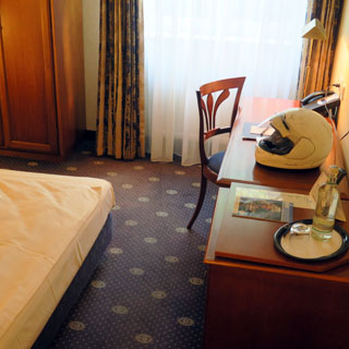
I expected a narrow bunk-bed single (that's what I ordered), but I got a queen-size bed that was really much too big for the cabin. There's hardly any room to stand in this room, let alone put your stuff in some accessible place. Oh well; it's a good bed and I have a nice view of the water even if I don't have the expected desk and chair.
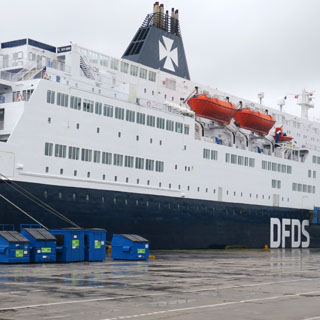
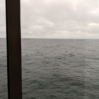
Leaving the Tyne River and entering the North Sea; the difference is easy to feel by the motion of the ferry--from dead smooth to a gentle roll.
The
Netherlands
Naturally, it was raining the next morning, but I could tell by the radar that it would be fine about twenty miles inland.
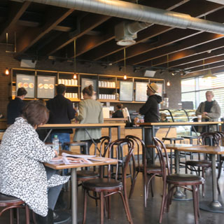
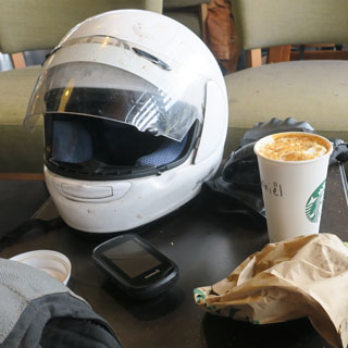
This is the Starbucks in Maarssenbroek. It's like every other Starbucks, but a good place to spread a map.
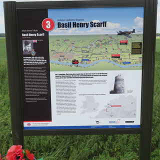
Individual monuments dedicated to loved ones who died in the war are not uncommon. But, while this information-sign for Basil Scarff was put up by his family, young Basil did not die when he bailed out of his RAF Mustang. He survived to carry on and have a family and a full career with the RAF.
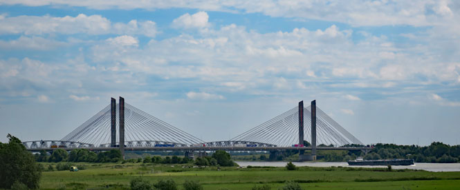
The A2 bridge over the Waal, near Waardenburg. You can expect most any new bridge to be a cable-stay bridge.
As this is The Netherlands, the speed limit on this unpainted road is 80 kph (probably)...
...while, the red paint indicates the speed limit on this road is 60 kph (probably).
Roermond, Limburg. It isn't obvious that Roermond was heavily bombed and sustained an enormous amount of damage. There was an important bridge across the Meuse at Roermond that the allies were intent on destroying in order to prevent the German retreat. The bombers never did hit it, but they must have destroyed everything else. Once the German army was across the Meuse, they destroyed the bridge, themselves.
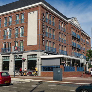
I'm staying at the Hotel Roermond, which is next to the train station and at the edge of the town center.
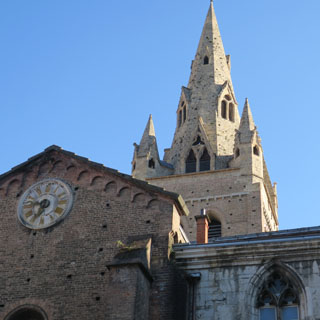
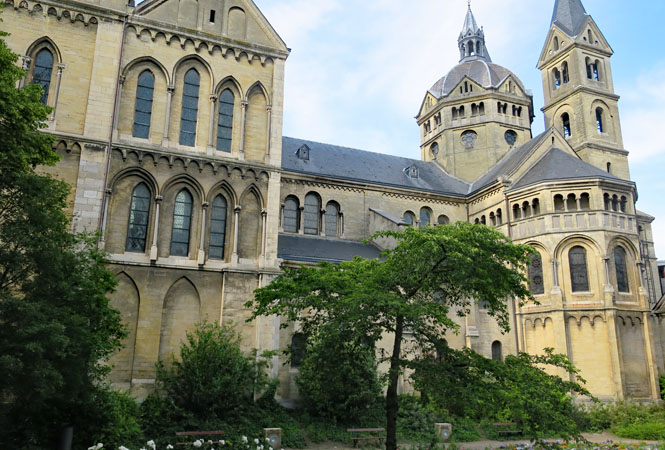
Munsterkerk (13th century)
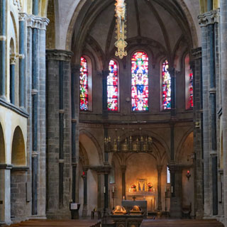
Markt Plaza with Sint Christoffel Kathedraal (15th century) in the background. On the very day of liberation, the departing German army blew up the cathedral tower; what you see is a complete rebuild.
Stadhuis Roermond.
The Roer River, which shortly meets the far larger Meuse.
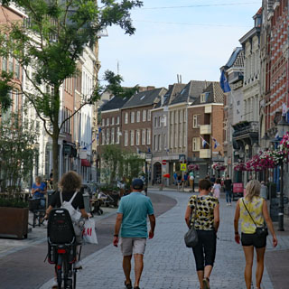
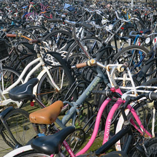
A sea of bicycles. That's normal in The Netherlands.

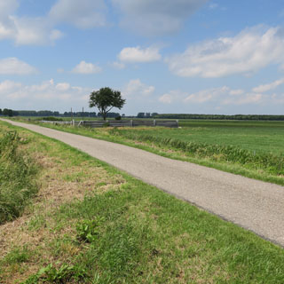
Leaving Roermond, I'm roughly following the border along The Netherlands, Belgium and Germany (following the Roer River).
Lemiers, Limburg. I wish I had gotten a close-up of the amazing brick work of the church.
Germany
Monschau, Germany. It's possible to look at a map and select towns that will likely be scenic and worth visiting just by looking at the shape of the rivers and roads and the position of the town. That's why I selected Monschau as a way-point to ride to, but I think it's a little too perfect; there were quite a few people here. This is still the Roer River.
Belgium
I wouldn't be riding too many miles in Belgium.
Germany
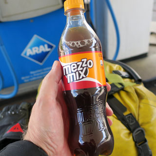
Stadtkyll, Rhineland. Both Coke and Pepsi make an orange-cola mix. This is the Coca-Cola offering.
Near Essingen after hitting several closed roads and getting thoroughly pointed in the wrong direction trying to make any headway.
The Mosel River valley near Mulheim.
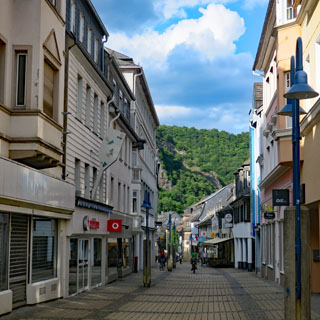
Idar-Oberstein (along with several towns all strung together) along the River Nahe, which ran just outside my window.
The town exists for the gemstones which were once mined in this area. It remains a center of gemstone cutting and selling, but the mines are closed.
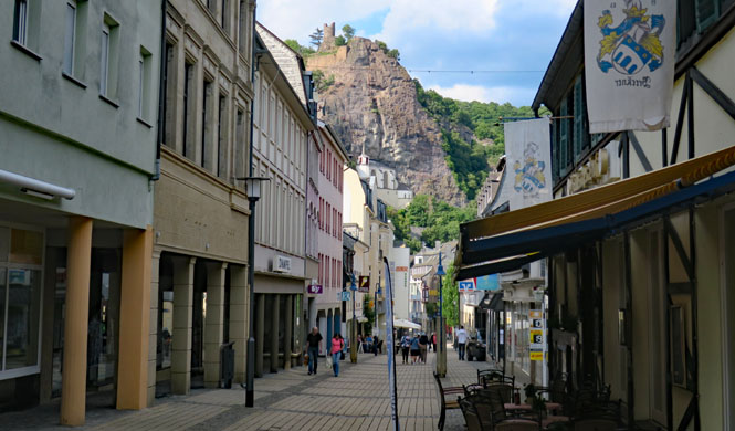
That's Castle Bosselstein (below, left) and Felsenkirche (below, right). It seems two brothers (Wyrich and Emich) argued over a girl. Wyrich tossed brother Emich out the window of the castle and killed him. For penance, he built this church at the point where Emich died. The two brothers are now in the same tomb. Is that true? I doubt it, but, there you go. The church was built in 1484.
The gem business must have been very lucrative. There are some nice houses along the road just outside the town (and a few remain as individual homes)
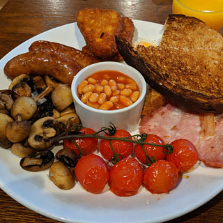
Breakfast at the Park Hotel. I've had some pretty good breakfasts on this trip.
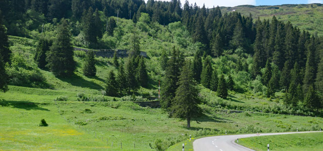
Staying off the main roads the best I can, I'm pointing towards the Alps.
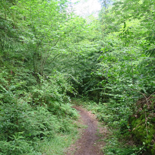
Stopping for a break and walking just a bit into the forest. Walking trails are common with good signage and good parking at the trail-heads.
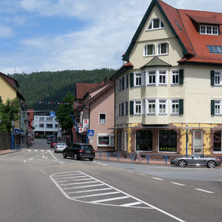
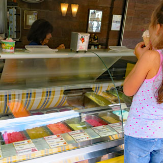
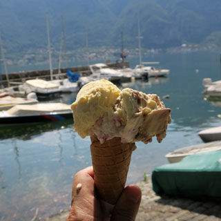
Bad Liebenzell. Stopping to look at the map and to take a gelato break. Today is a day for making a fair amount of miles even if I'm not being very efficient about which roads I'm taking.
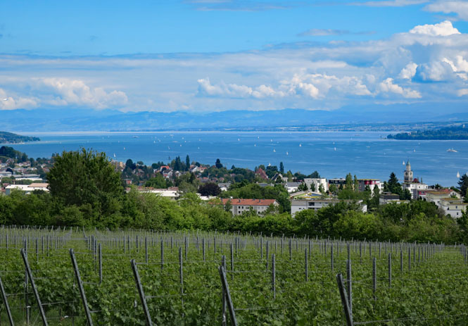
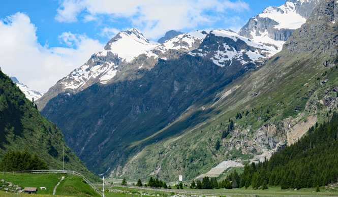
Überlinger See (the upper finger of Obersee) or Lake Constance.
There are a number of ferries that cross the lake into Switzerland, but I've decided to just ride all the way around and through Austria before crossing into Switzerland.
Austria
The Austria Autobahn requires that you pay for a sticker before using their highway, something I avoided doing this time.
Switzerland
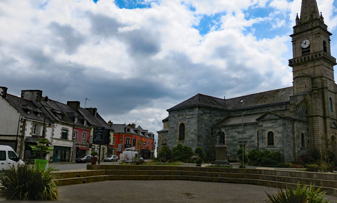
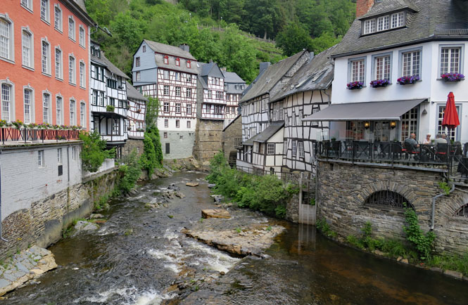
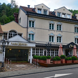
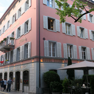
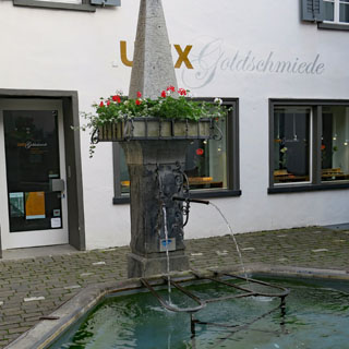
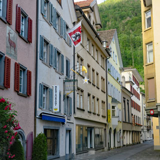
Chur, Grisons. I've stayed in Chur a few times before. It's a nice place to stay before riding over the Alps into Italy.
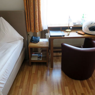
The Hotel Stern.
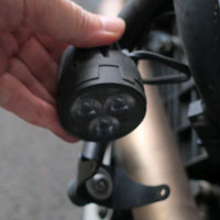
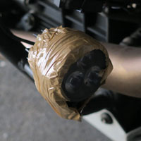
Oh, dear. Once again my auxiliary driving lights have broken their attachment screws and are hanging by the wires. I've kept an eye on these things, and so caught it before I lost the lights entirely. A yard of packaging tape for each and they're good (of course, I won't turn them on). This has happened many times.
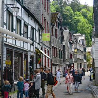
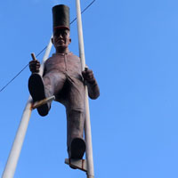
Interesting sculptures in Chur.
The hotel Stern prides itself on its Romansh menu. Perhaps the coffee ice-cream doesn't fit that description, but the rest does.
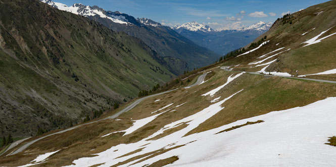
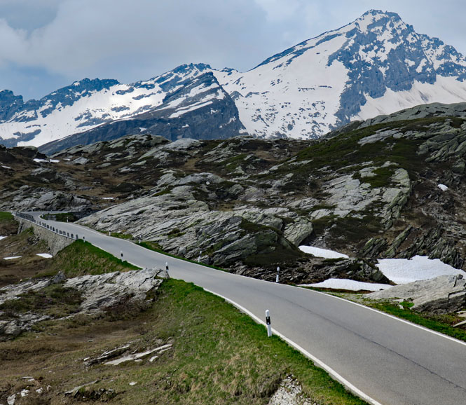
Following the Hinterrhein (river) through the Kreis Rheinwald (valley) towards San Bernardino Pass. I've not yet been through the long tunnel, but today is so nice, I won't be doing that this time, either.
Plattenbach Falls.
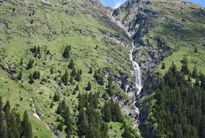
That's Lorenzhorn straight ahead (I think), elevation 10,000 ft.
The thing about the San Bernardino Pass route, when it starts it starts right now. You can see the first zig and zag on that hillside. It only goes up.
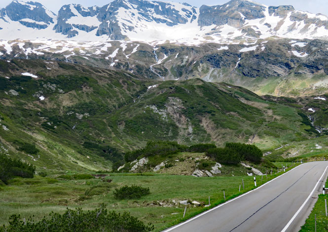
Well above the tree line. This route was used by the Romans (and well before)
Each Alpine pass I take is (at that moment) the most beautiful. Really, you cannot go wrong with any of them.
The old trail is still easily seen.
The Stelvio waits as I climb a short hill.
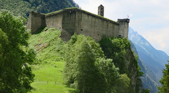
Castello di Mesocco (7th through 13th century). The passes are full of these fortress castles.
If you took the tunnel under the mountain, this is the road you'd be on.
Italy
Lake Lugano. The other half of this lake is in Switzerland.
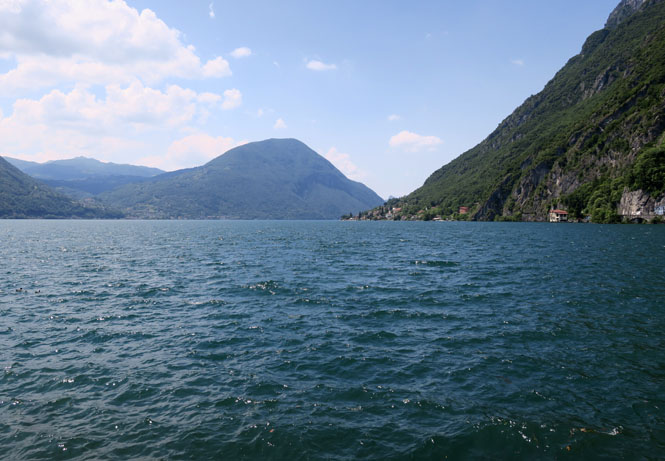
Menaggio.
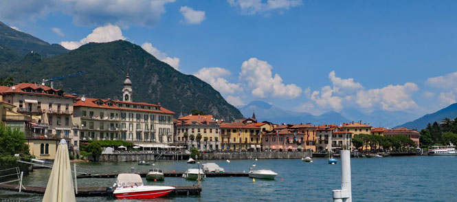
I have a choice to ride around Lake Como or to wait for the ferry. As is almost always the case, I'll wait. It's a beautiful place.
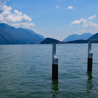
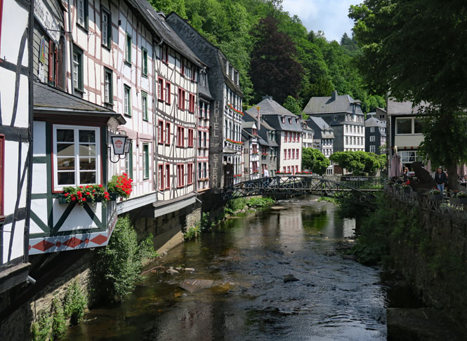
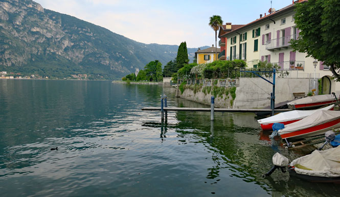
Lake Como. Varrena is just ahead and Mandello del Lario is not far after that. I'm just about home.
Mandello del Lario. I'll repack what I'll be taking with me, and put the rest in this blue bag that I keep in the back room. In the bag are my boots, helmet, electric air pump, water bottle and wiring harness for an outlet for the pump and my electric vest (which I didn't ever plug in even though I wore it in England).
As always, I'll stay the night at Mamma Ciccia's, in the old town.
Mandello del Lario is a restful place.
Arcipretale di San Lorenzo Martire (the ceiling). The site dates from the 13th century; the current appearance is from 1613.

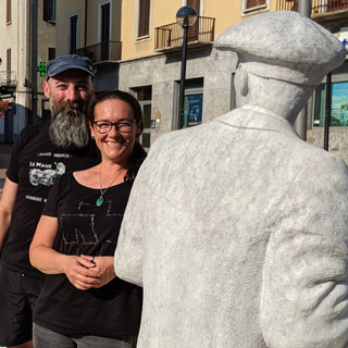
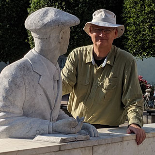
That's Karina and Martin, who are in Mandello on their own Guzzis, having ridden from Austria (Martin rides a very nice Cal2). They are the owners of the Guzzi support website: www.guzzi4you.at Good people. Carlo looks on with approval (I hope).
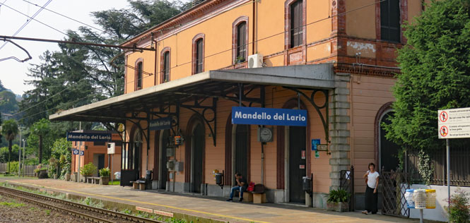
A final image of Mandello del Lario before catching the train to Lecco and then to Milano.

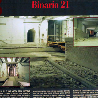
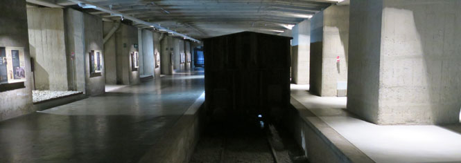
Binario 21 is a forgotten rail platform that is under the main tracks that lead to the Centrale Station. During the war, this is where Italian Jews were loaded into individual cars, which were raised via an elevator to be assembled into a full train of cattle cars whose final destination was Auschwitz. Up to 1,200 people were sent to their death from this spot.
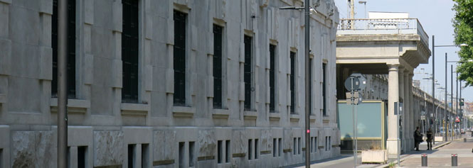
I've known of this memorial for years, but their hours and days of operation are quite limited and I was never here when they were open.
INDIFFERENZA
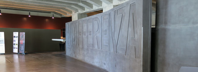
It isn't a museum. It's a place that is meant to give you the feeling of what was here and what happened. You are intended to feel a bit disoriented and unsure which way to go. There's very little in English, but there is a phone app that is available for English-speaking visitors, which does a nice job explaining things.
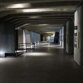
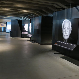
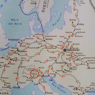
As the map makes clear; this was just one node on a vast and interconnected network, all for one purpose.
VIETATO TRASPORTO PERSONE
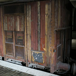
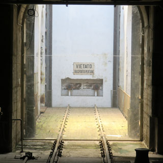
The sign in the elevator is original. So are the cattle cars.
Galleria Vittorio Emanuele II. The original shopping center (or at least one of the best).

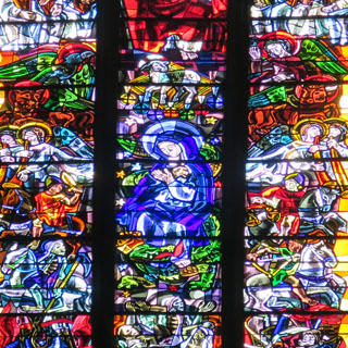
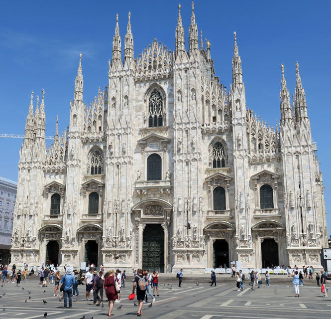
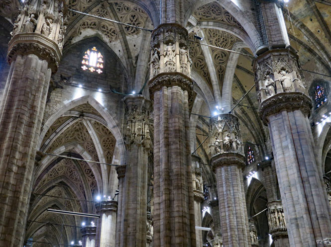
Duomo di Milano (14th century).
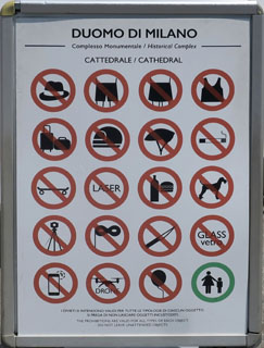
Ladies, be careful what you wear, else an attractive white covering will be provided for you. As for flying a drone or riding skateboard? I'd hope not.
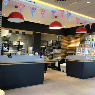
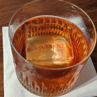
There's a Starbucks in Italy? Really? Yes; but, it's a Starbucks Reserve Roastery and it's the most amazing Starbucks you've ever seen.
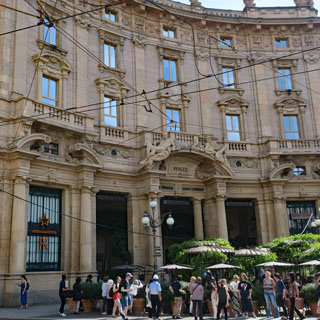
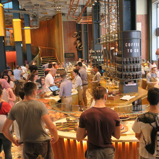
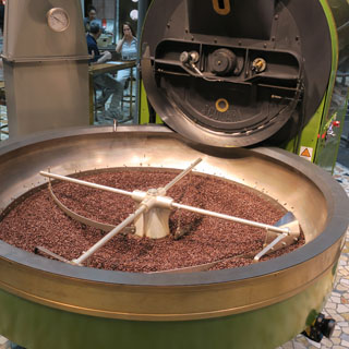
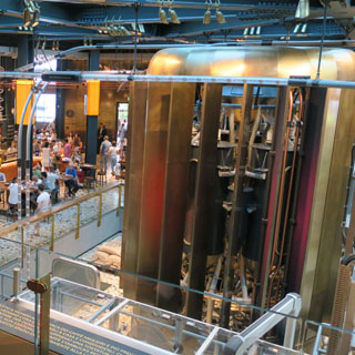
Obviously, it's not only about coffee (although that's a big part of it).
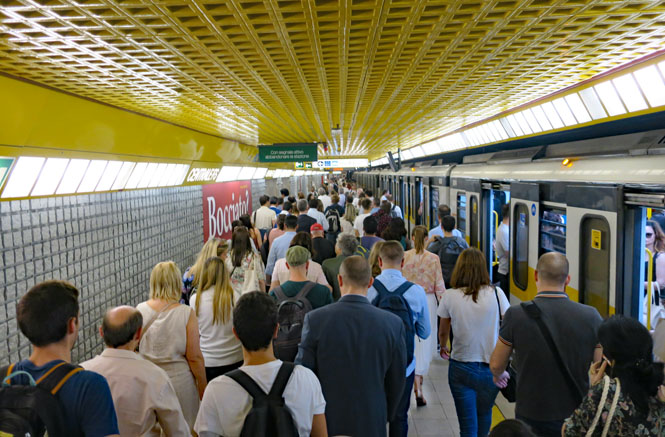
I am taking the metro yellow-line (can you tell?) back to my hotel.
Excellent trip.