April, 2019

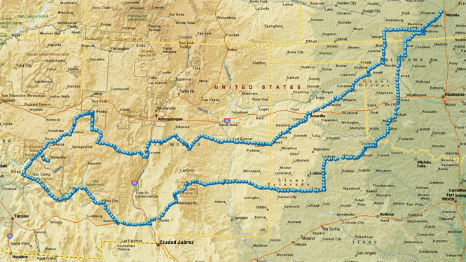
Fort Apache in Arizona wasn't my goal the evening before my departure, but it turned out that way. I had intended to ride north into Nebraska and beyond; the weather north of Kansas looked fine at the time. But, the forecast said things would turn really nasty in a few days, so I swapped out my northern great plains maps for maps of Arizona and New Mexico.
 Kansas
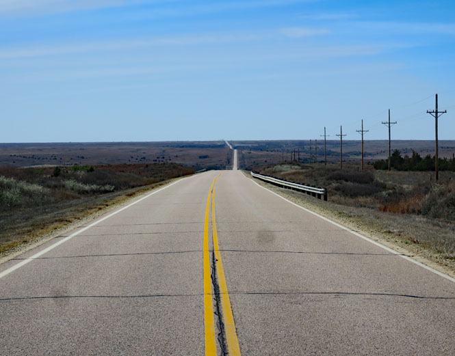
Still without a real destination, I'm heading south and west along one of the better roads across Kansas. US-160 in the Gypsum Hills.
 Oklahoma
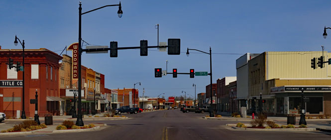
Woodward, Oklahoma.
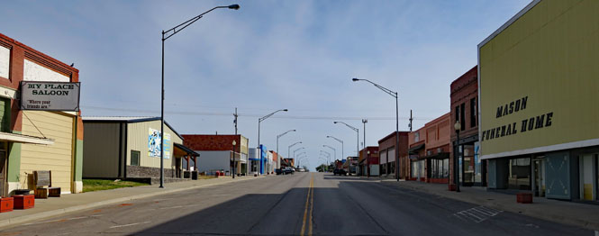
Shattuck, Oklahoma.
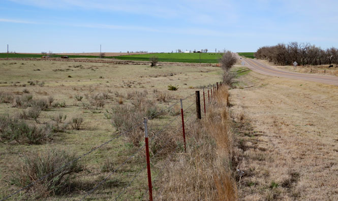
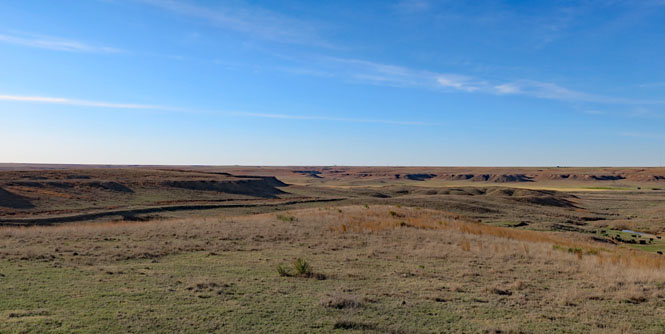
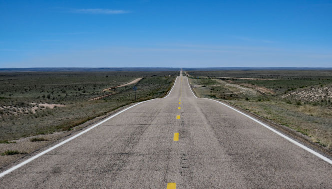
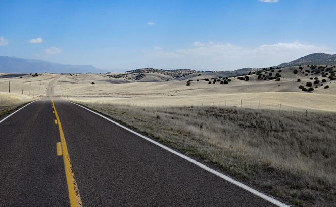
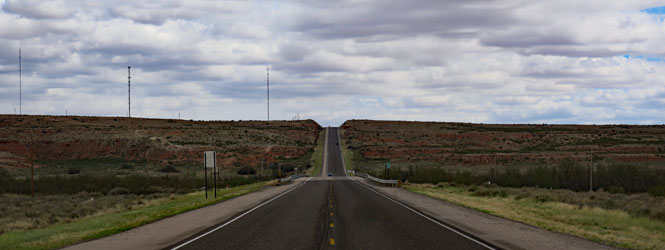
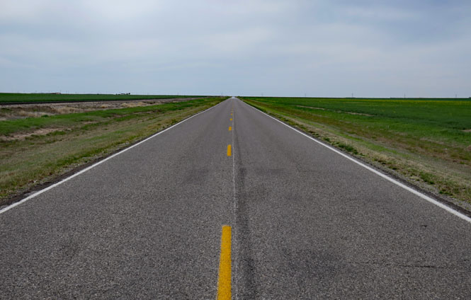
On US-283 following a long diagonal to the southwest.
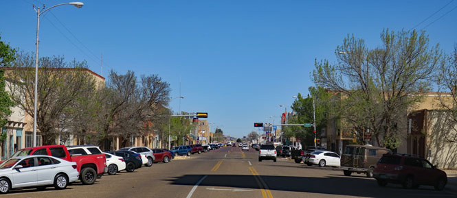
 Texas
Texas
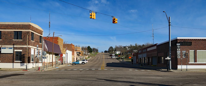
Miami, Texas.
US-60.
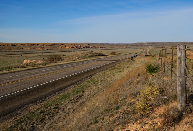
Crossing the Canadian River valley.
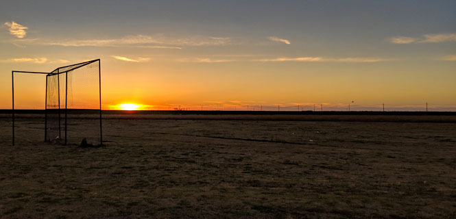
A ball field outside Panhandle, Texas.
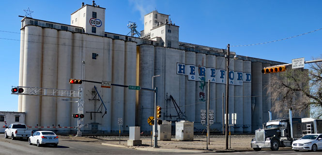
Hereford, Texas calls itself the "beef capital of the world." You might wonder if Herefordshire in England agrees (or is even aware).
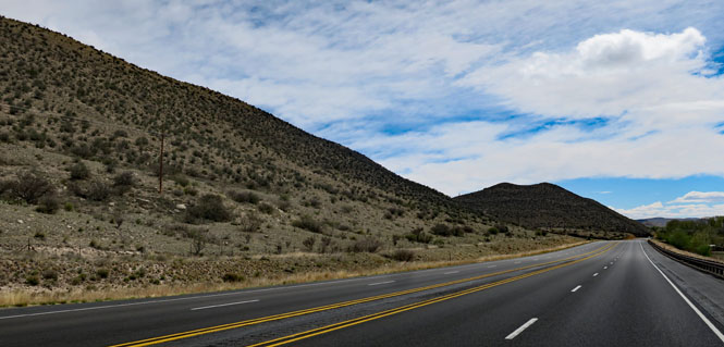
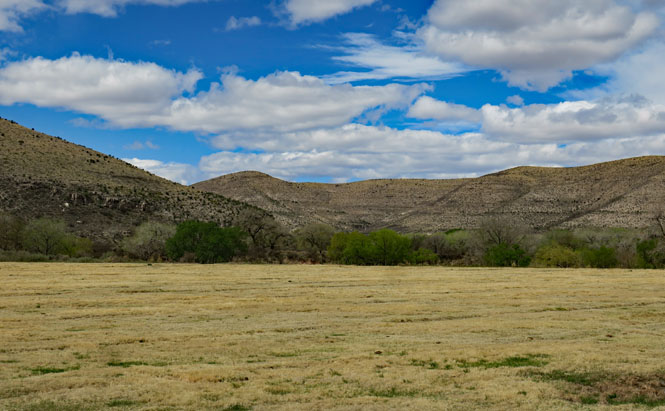
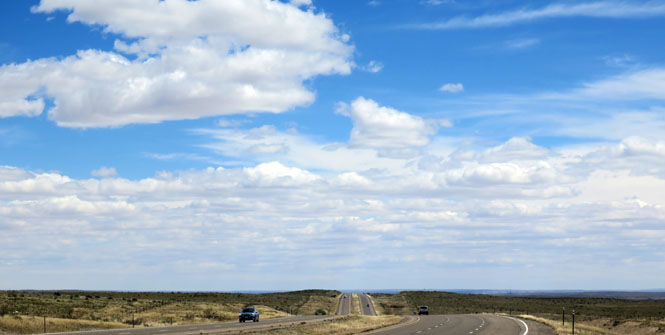
 New Mexico
Clovis, New Mexico is where Buddy Holly and Roy Orbison recorded their first hit records.
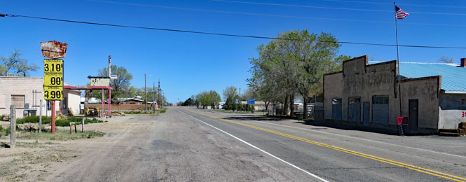
Yeso, New Mexico. Does anybody live here? In any case, the speed limit is pretty slow and every time I've come through here, I'm careful to watch my speed figuring that it might be a lucrative speed trap for somebody.
The Yeso mercantile building still stands.
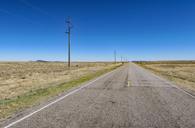
US-60 heading due west.
I saw more Pronghorn than I did cattle.
Cedarvale, New Mexico might have more people than Yeso.
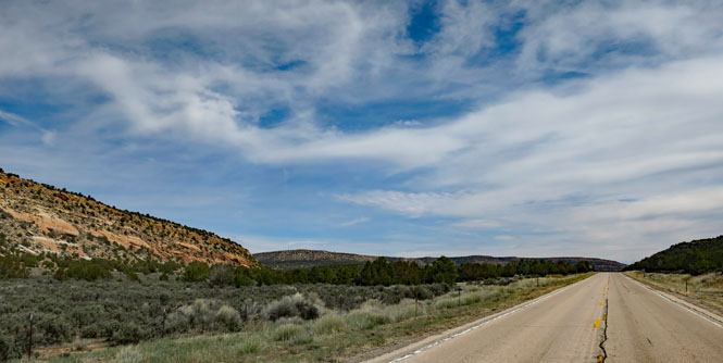
NM-42. I'm cutting across on a stretch of road I've not ridden before; that's why I'm here.
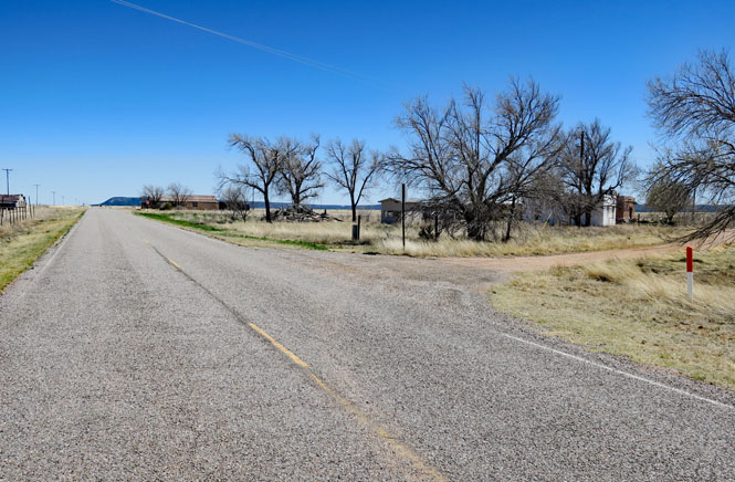
Willard, New Mexico. Likely when cars were much slower and had less range, Willard did a good deal of business. There's little reason to stop, these days.
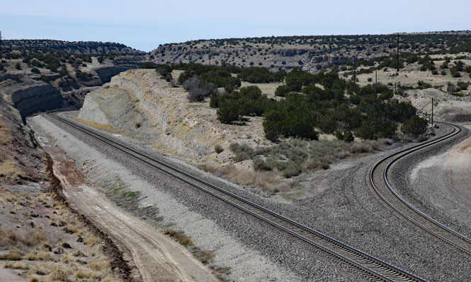
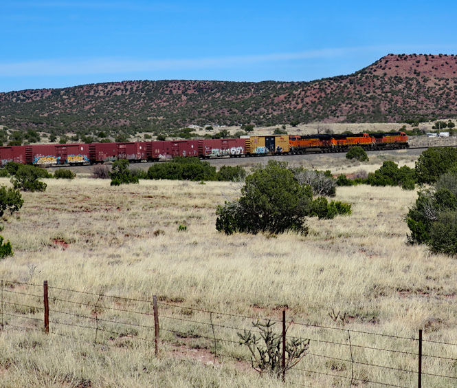
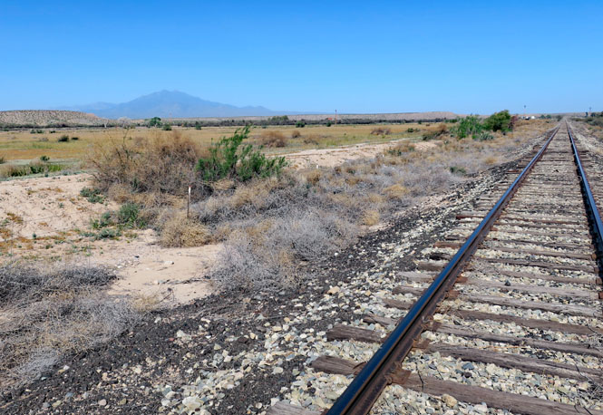
The Belen Cutoff through Abo Canyon. The double-tracking you see is quite recent. It was the result of an enormous engineering project by the Santa Fe Railroad to fix a major bottleneck on their main trans-continental route when there was but the one track. This route long ago replaced the steeper route over the Raton Pass in Colorado.
Three engines pulling hard up the grade. There are additional engines at the rear.
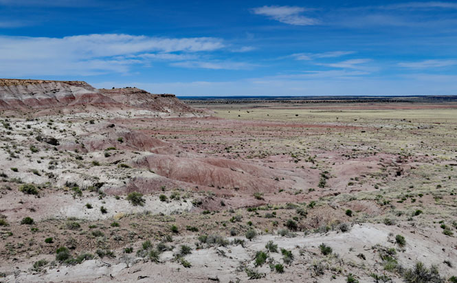
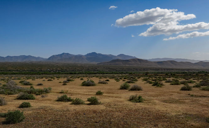
Socorro, New Mexico dates from the early 1600s, but after the Pueblo Revolt of 1680 the city would be abandoned until the early 1800s when it was resettled.
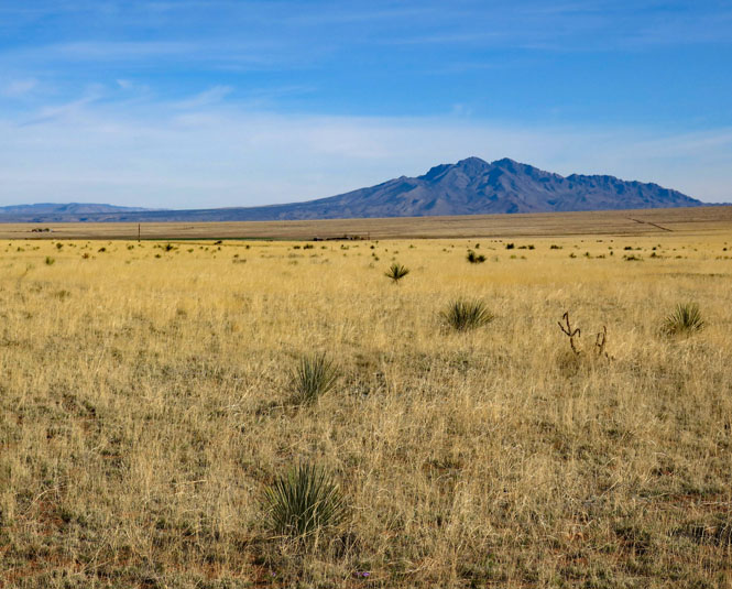
Strawberry Peak west of Socorro.
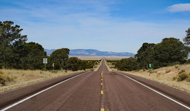
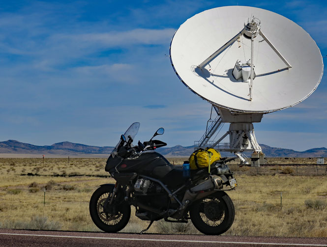
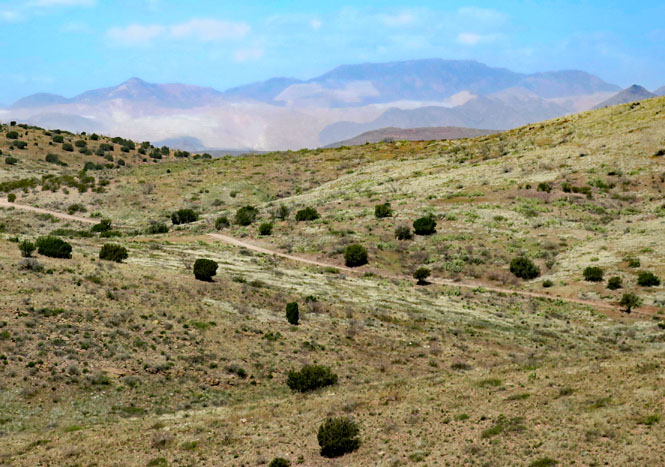
Looking to the Plains of San Agustin and then across to the Crosby Mountains. You can just see a few dishes from the VLA (Very Large Array) observatory.
Twenty-seven of these dishes are arrayed in a large "Y" shape in the plain. They can be moved on rails to configure the overall receiver depending on which frequencies need to be detected.
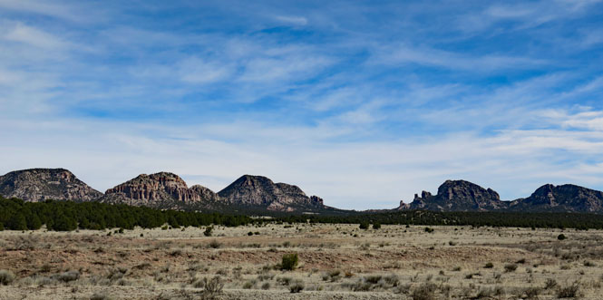
Capital Dome (the rounded second peak from the left) and Lone Mountain (the spikey fourth peak).
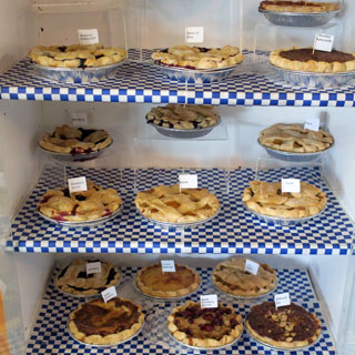
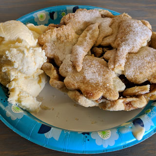
Pie Town, New Mexico started as a place to buy pies, and so it remains.
The pie shelf (there're always more pies coming) and my selection: apples, pine nuts and green chili with ice cream on the side.
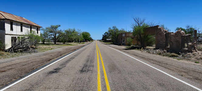
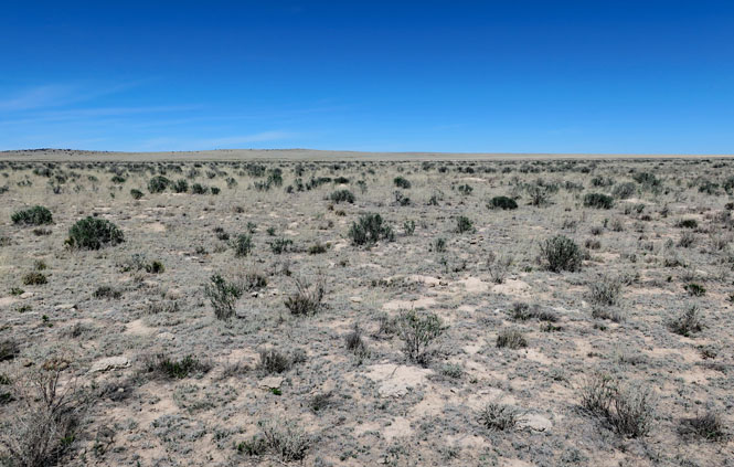
The town of Fence Lake. You might see a few fences (although uncommon), but you will not see a lake. Don't expect to find a service station.
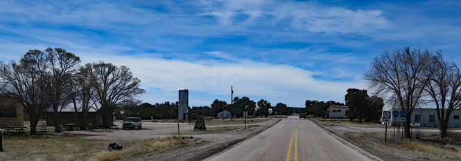
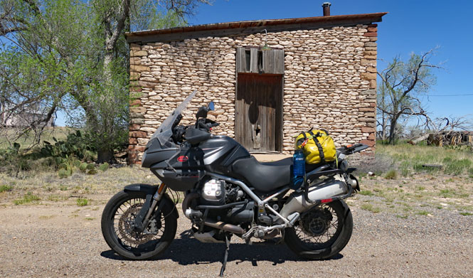
NM-36 running north out of Fence Lake. It's safe to assume that you will not see any cars.
Zuni Nation.
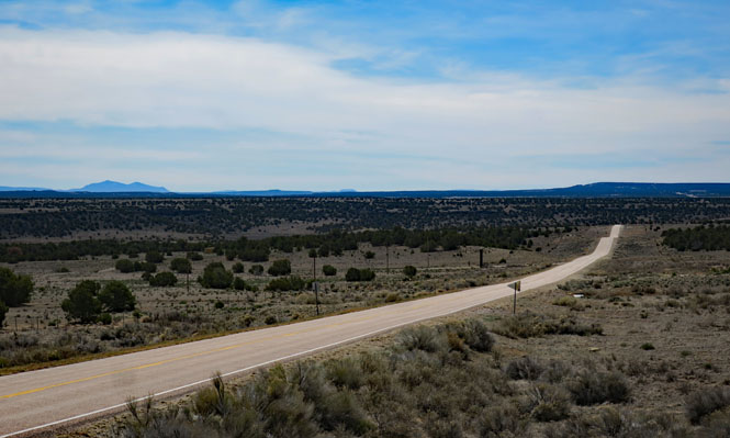
Running west on NM-53. I'm hesitant to go any further north as there is a serious weather front coming my way and I'd prefer to stay ahead of it.
 Arizona
US-191.
It has become seriously windy, but as yet, any rain is still miles to the north. I'll try to keep it that way.
St. Johns, Arizona.
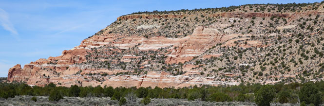
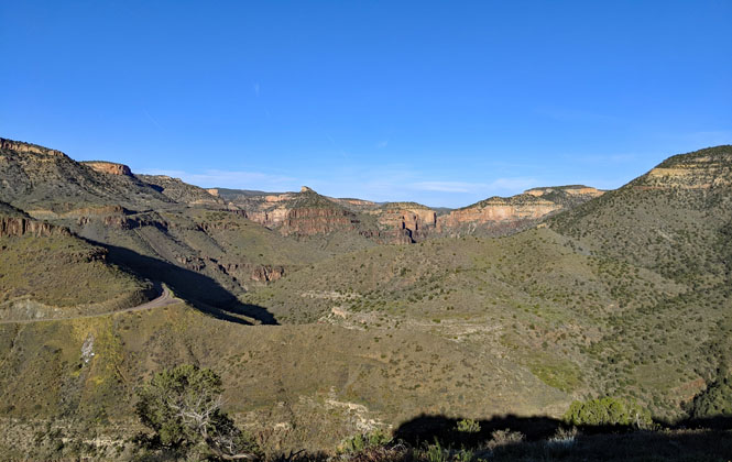
Silver Butte. I'm taking the spur to Fort Apache, Arizona.
AZ-73.
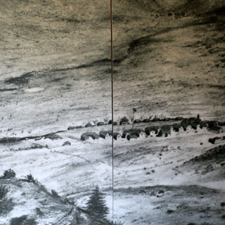
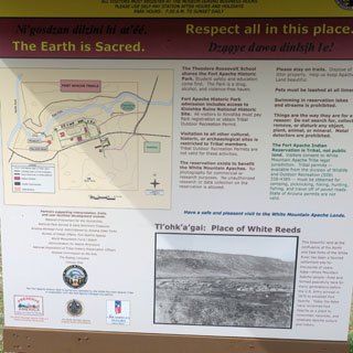
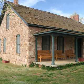
Fort Apache, Arizona dates from 1871 and lasted until Geronimo surrendered in 1886. Of course, the White Mountain Apache have lived here long before then, and continue to live here, today.
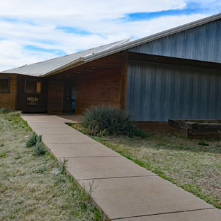
There's quite a good museum, but photographs are not allowed inside.
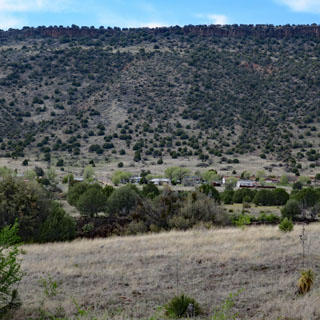
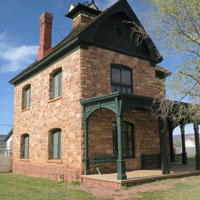
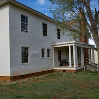
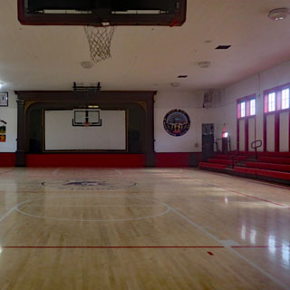
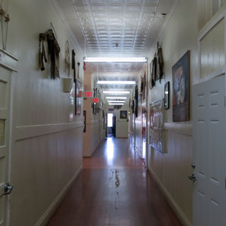
Many of the buildings of the fort remain and are in good condition.
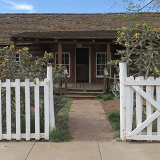
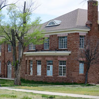
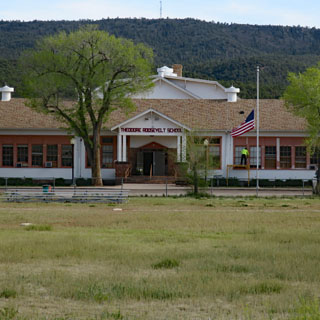
The Theodore Roosevelt Boarding School (home of the Warriors) has been in continuous use for a hundred years.
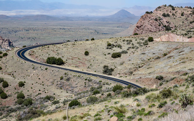
The Salt River Canyon would have been a struggle to build a road across. This is the land that the Apache occupied, and the land that the Army was ordered to remove them from.
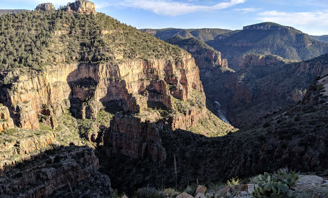
A bit of US-60 is just visible on the left.
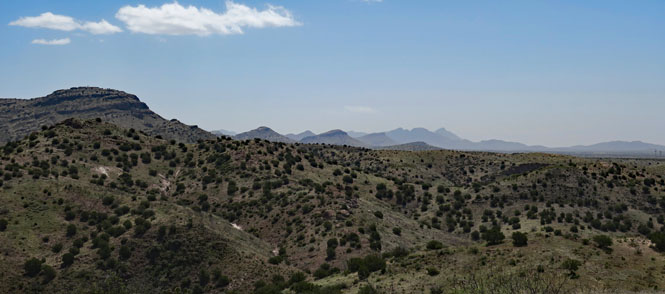
The Gila Mountains. I've turned to the east.
Mt. Turnbull in the distance.
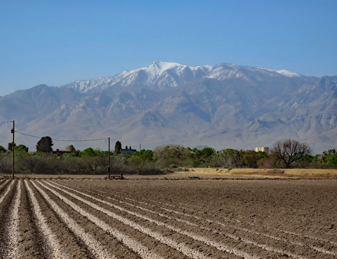
Mt. Graham (Dził Nchaa Sí'an to those who were here first) still has snow on its peak (just under 11,000 feet).
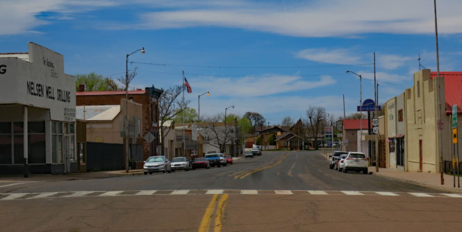
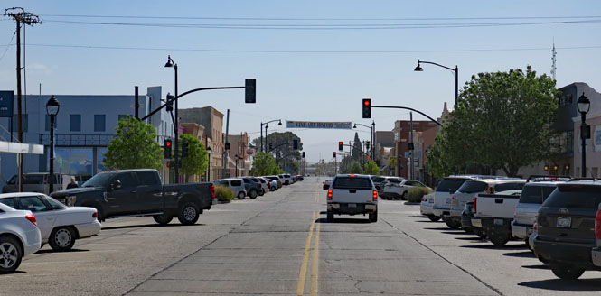
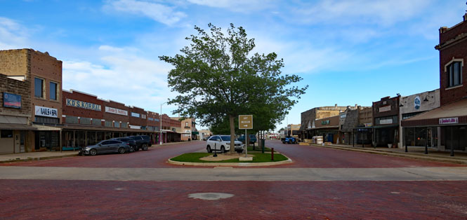
Safford, Arizona on US-70.
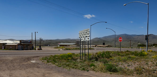
Three-Way, Arizona. The unlikely name comes from the junctions of highways AZ-75, AZ-78 and US-191.
US-191 running north.
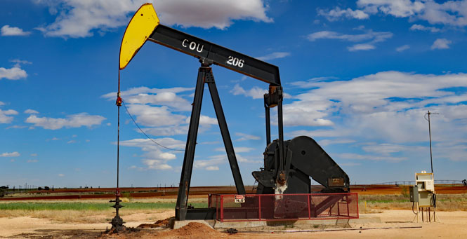
In the distance, that's the Morenci Mine (owned by Freeport-McMoRan). It's the largest copper mine in North America.
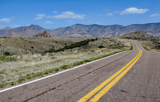
AZ-78 making its way over the hill.
AZ-78.
New Mexico
NM-78.
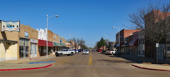
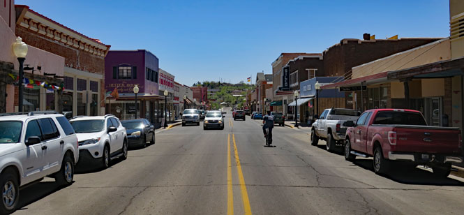
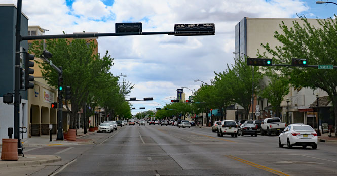
Silver City, New Mexico.
From Silver City, the wind picked up to pretty fierce levels (I'd guess a steady 50mph) and the dust was a concern. It was never so bad as to produce zero visibility, but it was getting to that point.
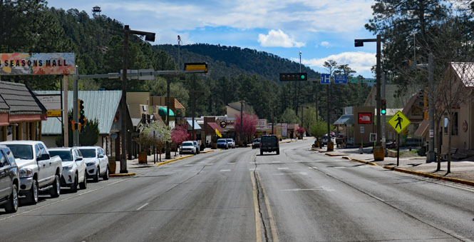
Ruidoso, New Mexico. I would have preferred taking the route across the mountain just south of here (through Cloudcroft), but it was down in the low thirties over there and it was a bit warmer (low forties) here in Ruidoso. Cold and windy.
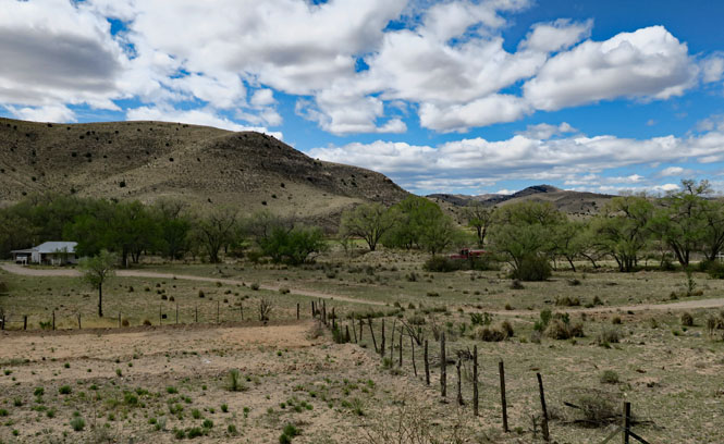
Making a living (although I'm not sure how) along the Rio Hondo.
US-70.
Farther down the river, the valley opens and the land looks more productive.
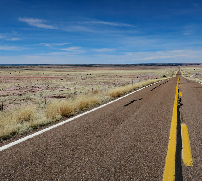
US-70 isn't a freeway, but it's close enough to be a dull ride.
Roswell, New Mexico.
US-380, climbing up the caprock.
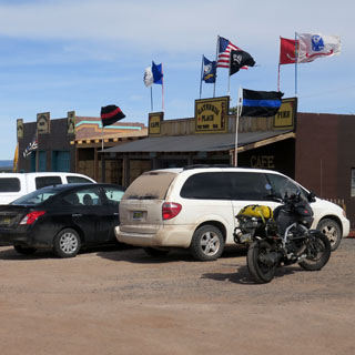
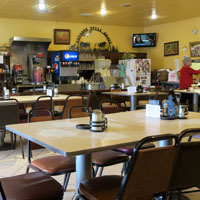
Tatum, New Mexico.
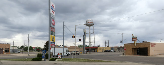
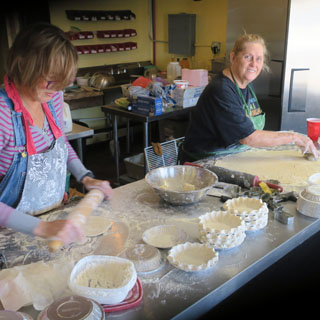
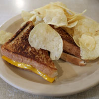
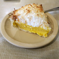
I'll have lunch at the cafe (seen above, on the right). Grilled ham-and-cheese followed by a pie that looks good (it was).
Texas
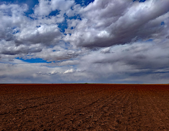
Early wheat coming up.

I've no idea what might be going in here.
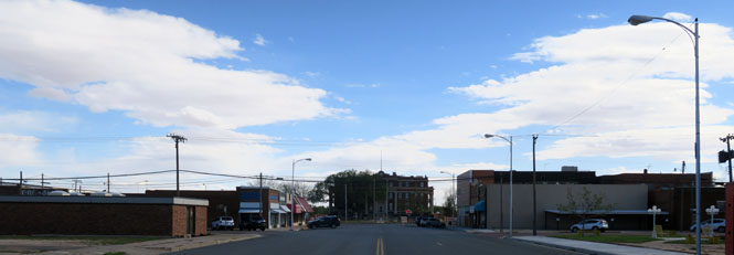
Tahoka, Texas.
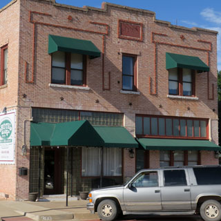
Post, Texas.
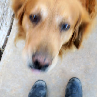
I'm staying at the Hotel Garza in Post. The hotel dog is doing a fine job at greeting the guests with enthusiasm.
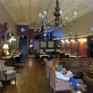
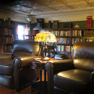
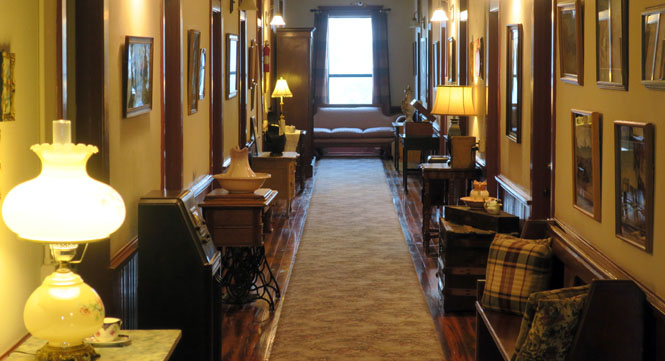
Inside the hotel. There's a nice library at mid-level between the first and second floor.
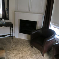
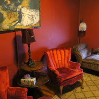
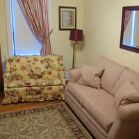
I had a chance to look into some of the unoccupied rooms upstairs.
Each room is different and represents a different period.
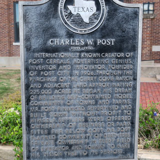
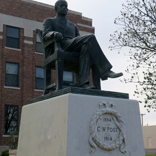
Post, Texas was founded by the remarkable C.W. Post. From Grape-Nuts to Postum, this man had a lot to do with what we eat for breakfast.
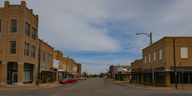
Paducah, Texas.

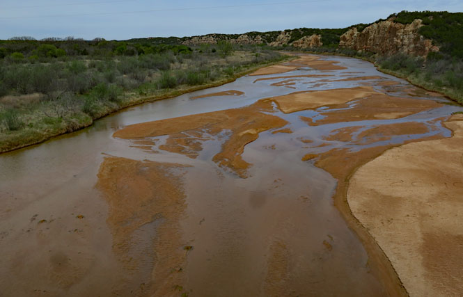
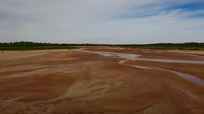
Crossing the Pease River.
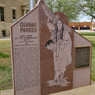
Quanah, Texas is named for the last chief of the Comanche (or last "free chief"...it should be understood what is meant).
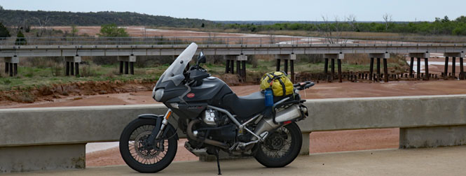
Crossing the Red River.
That's Oklahoma on the left and Texas on the right. Most all of the really interesting truss bridges across the Red River have been replaced by this boring sort of concrete bridge.
Oklahoma
Running north on OK-5.
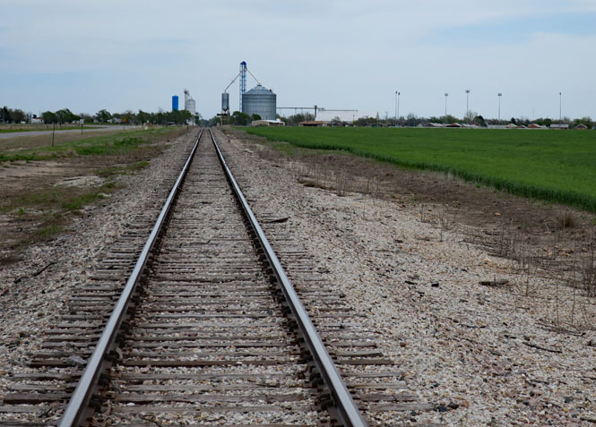
The rails into Olustee, Oklahoma.
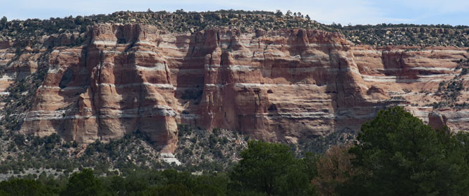
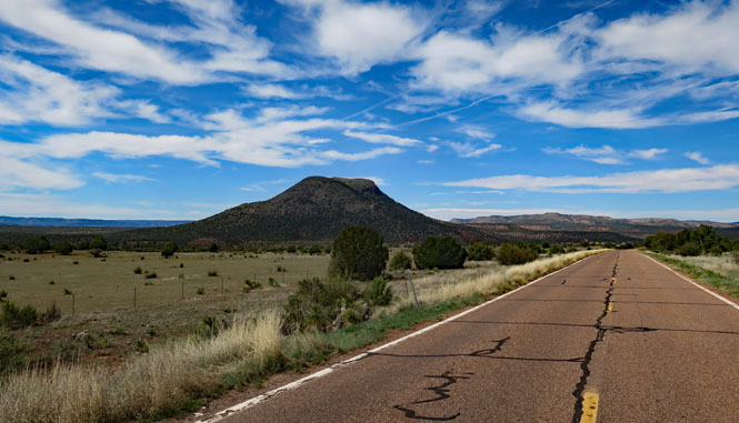
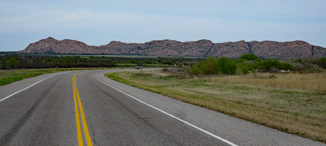
OK-44 Quartz Mountain (the westernmost extent of the Wichita Mountains). The granite outcrops are unexpected.
Kansas
Some wind and it was pretty cold at times, but rain was avoided. If I'd taken my earlier planned trip to South Dakota, I'd have been extra miserable.