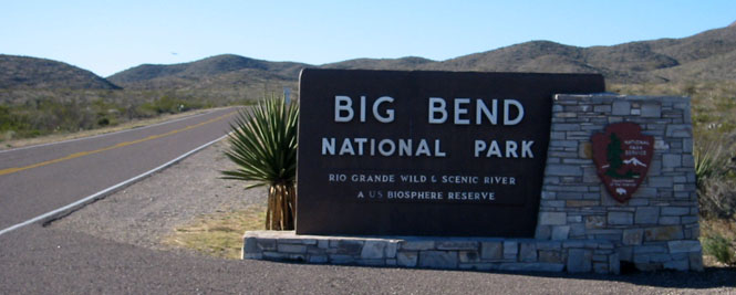
Focus on Big Bend National Park

There are only a few places that I'll return to, over and over. My thinking has been that there are just too many other places I've never been. But, Big Bend is different; it's worth going back, and in any case, there is so much to see that I've not yet repeated any of the trails.
This is a photo-journey of the park using photographs from seven previous trips.
 Texas
Texas
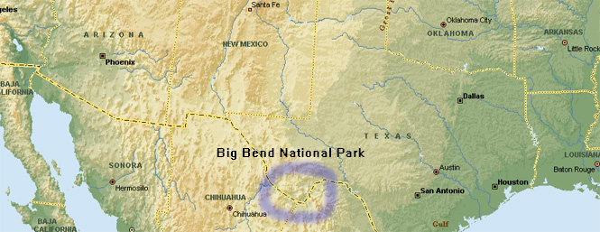
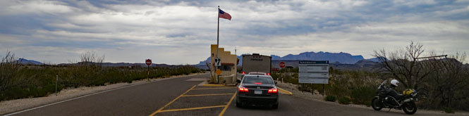
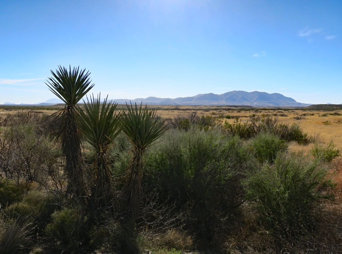
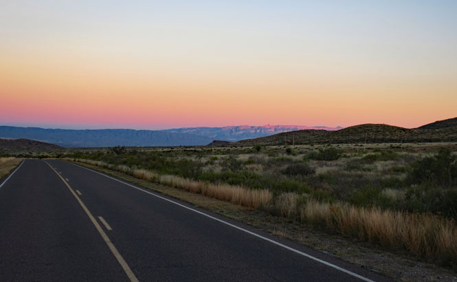
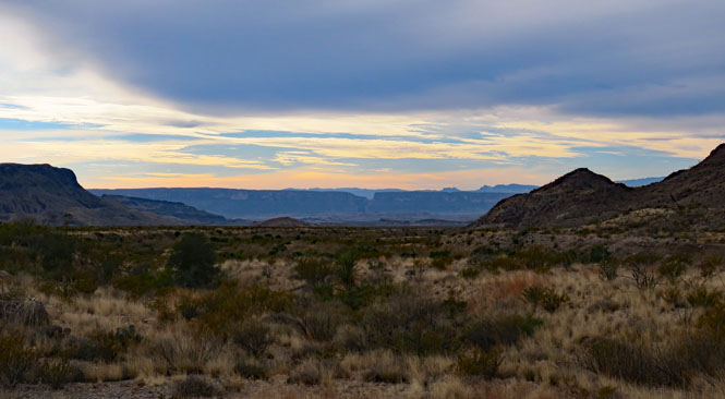
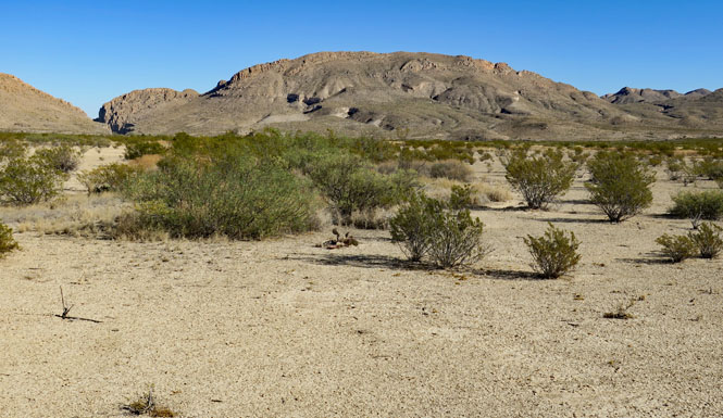
Big Bend is not on the way to much anything else, and it's many miles from the nearest freeway. The small towns of Study Butte and Marathon have services (including hotels), but those will be limited.
Big Bend National Park was authorized by Congress in 1935 to preserve and
protect a representative area of the Chihuahuan Desert along the Rio Grande
for the benefit and enjoyment of present and future generations. The park
includes rich biological and geological diversity, cultural history,
recreational resources, and outstanding opportunities for bi-national
protection of our shared natural and cultural heritage.
--NPS website
I've organized this alphabetically by each location (either a place or trail) visited:
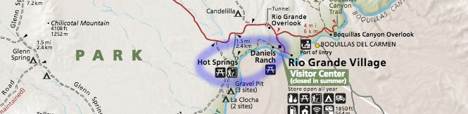
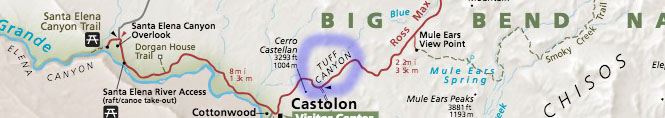
Out and About - Getting around Big Bend
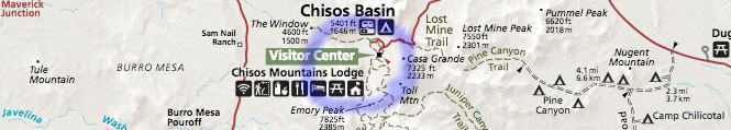
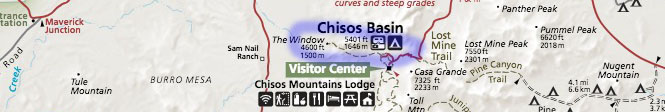
Chisos Basin - The Central Hub
Blue Creek Trail
Boquillas Canyon Trail
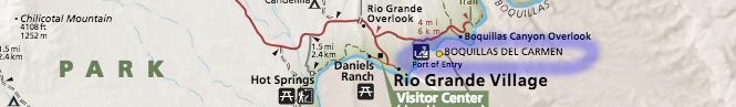
Boquillas del Carmen (Mexico)
Burro Mesa Pour-off
Devil's Den
Dodson Trail
Dog Canyon Trail
Grapevine Hills and Balanced Rock
Hot Springs
Lost Mine Trail
Santa Elena Canyon
Window Trail
Tuff Canyon
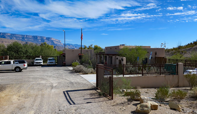
Out and About - Getting around Big Bend
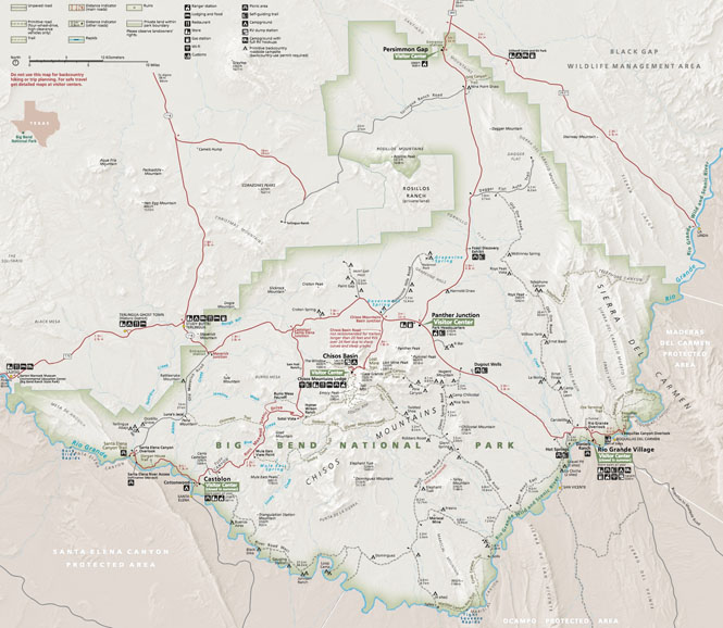
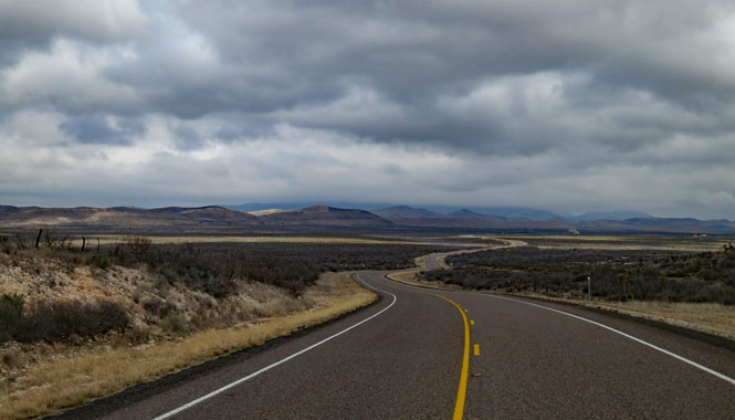
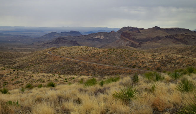
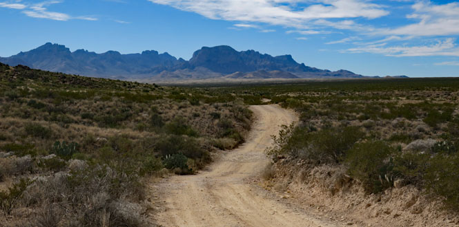
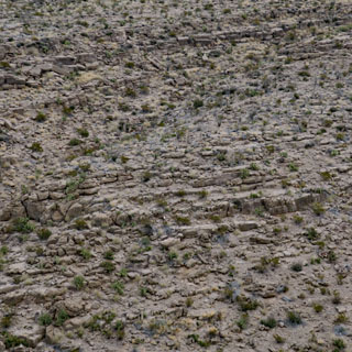
This is a big park with a maximum speed limit of 45 mph. If your starting point each morning is Chisos Basin, you'll need to allow an hour's travel pretty much wherever you're going.
Within the park, the roads shown on the map as paved are in very good shape. The unpaved roads can be good, but they can also be quite terrible (wash-board)--including the roads that are generally considered suitable for most passenger cars.
If a road is noted as being for high-clearance 4wd vehicles, you should consider that the truth. Any large Adventure Bike (such as a BMW GS or Guzzi Stelvio) will easily handle the basic unpaved roads, but might still be too unwieldy on the 4wd roads.
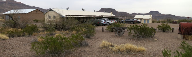
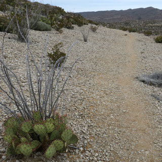
Castilon, Texas has the basic things needed for hikers--food, water, first-aid kits and the like.
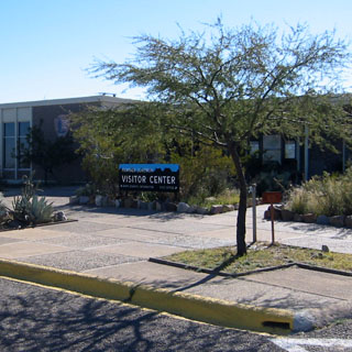
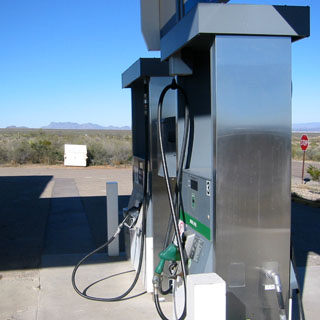
Do know that Panther Junction does have fuel.
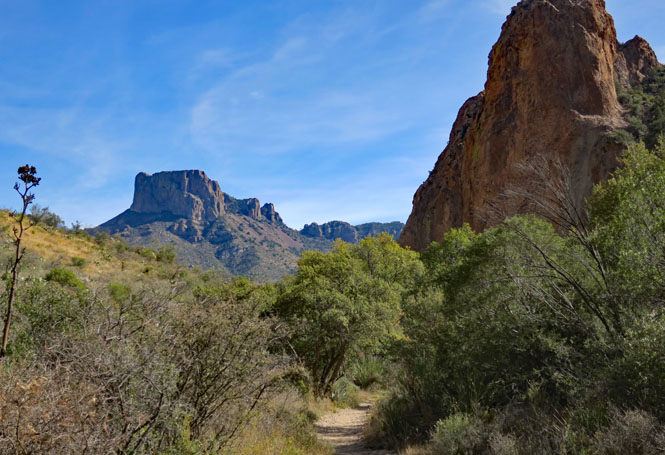
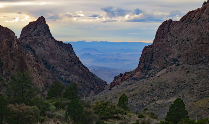
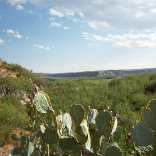
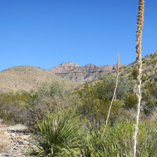
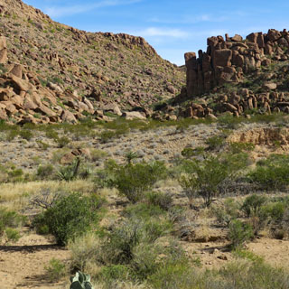
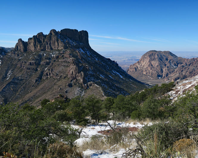
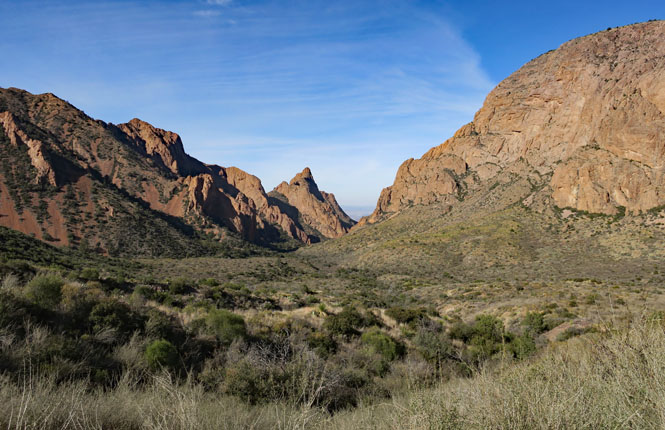
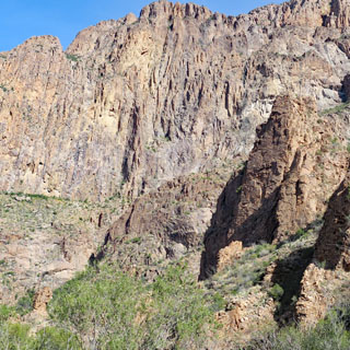
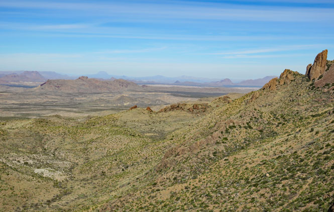
The Chisos Basin. Note the V-notch; that's "the window."
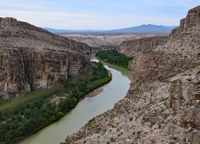
That's Elena Canyon in the distance.
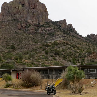
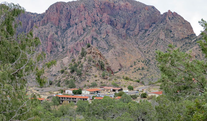
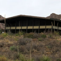
Chisos Basin - The Central Hub of the Park
There are a few RV camping places in the park, but there's only one lodge, and that's in Chisos Basin. If you cannot be flexible with your dates, you'd be advised to make early reservations. I've found, however, that if you are flexible, you'll be able to find a room in the lodge easily enough, plus-or-minus a few days.
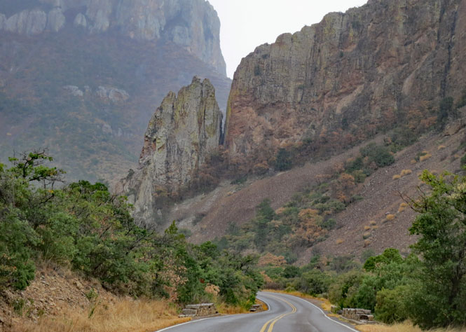
The road climbing into the basin.
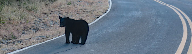
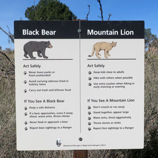
Yes; these bears are common. Don't even think of feeding one or bothering one. The rangers are very strict about that sort of thing.
There are three sections that comprise the lodge. This is the motel section, which is what I've always used. It's pretty much a 1965 motel. Don't expect a T.V.
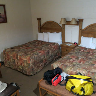
They support "dark skies" in the basin, so at night it's very dark and can be a bit tricky even just walking around. But, that only means you can see more stars (including the Milky Way) than you are probably used to seeing.
This building holds the restaurant, bar, gift shop and hotel registration. There are no guest rooms here, but you'll need to come here first to check in an get your key.
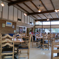

I've always had breakfast in the dining room, but generally, I'll have dinner at a table in the bar (no waiting and the menu is identical).
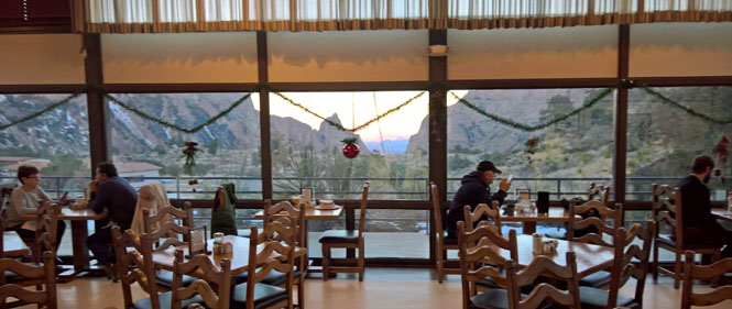
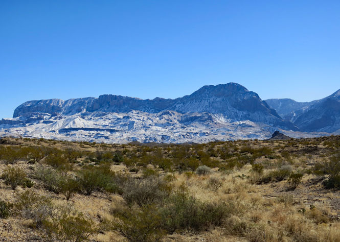
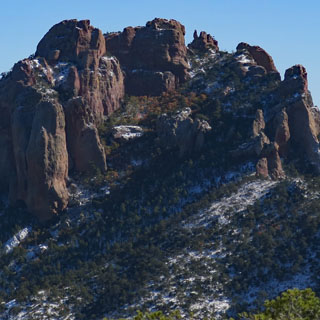
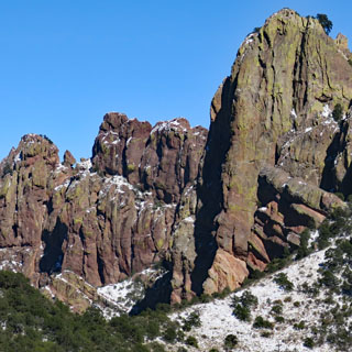
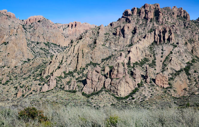
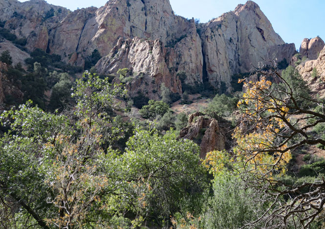
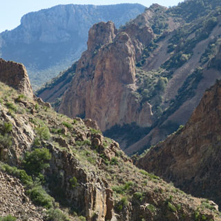
The basin is surrounded by stunning mountains in all directions. Sunset brings all the photographers out.
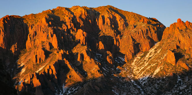
This is Casa Grande (elevation 7,550 feet).
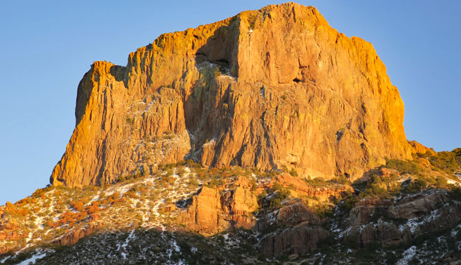
The Window. Is this the most photographed view in the park? Possibly. I've got several, myself.

The basin is the starting point for several trails that climb into the surrounding mountains. Consequently, these will be the only trails (including, perhaps, the Lost Mine Trail) that might be considered to ever be crowded. I've actually only done the Window Trail and have only walked a couple of miles on some of the others, so they're not (yet) here.
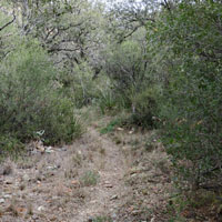
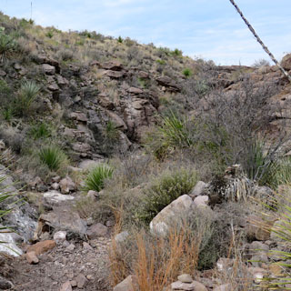
Blue Creek Trail
This is the back-way to the South Rim. By far, the more common way to get to the rim is to start within the basin. The trails are connected.
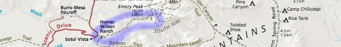
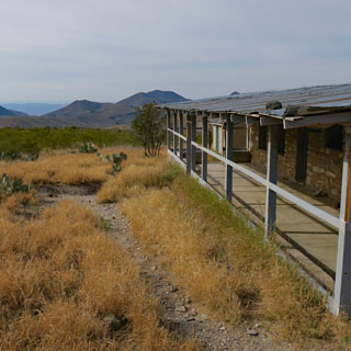
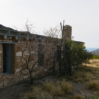
That's the Homer Wilson ranch house alongside Blue Creek.
The building was abandoned in the late 1940s but still looks in pretty good shape.
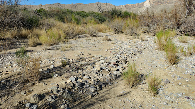
Much of the Blue Creek Trail follows the bed of Blue Creek, so there's a fair amount of sand and gravel, which can make walking more of a chore.
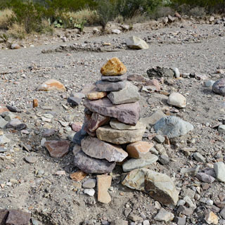
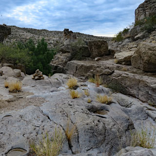
As is the case, you'll find lots of cairns where they're of no real help--it's not hard to follow a creek bed.

That big rock, below (right)? Squint your eyes and you'll see a husky elephant looking back at you. At least, that's what I see.
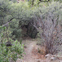
There are lots of interesting rock formations to walk through. It's a more scenic trail than I expected.
The trail runs to the bottom of this mountain and then turns right.
Looking back.

I'm only about two miles from the rim, but that would be two really steep miles to climb. I'm not going that far. And, in any case, I'm down about half my water, so it's time to turn back (I never violate that rule).
The walk back follows the same trail, but the sun is lower and everything looks a little different in the new light.
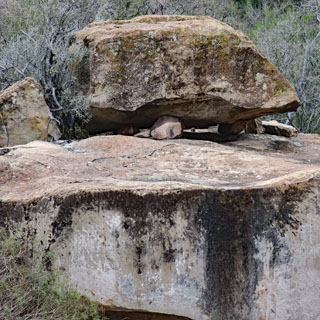
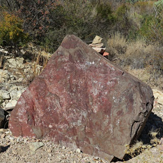
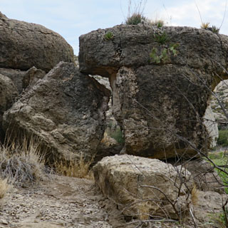
That's a heavy boulder that is held up by a few smaller rocks on top of that even larger boulder. It's a curious thing.
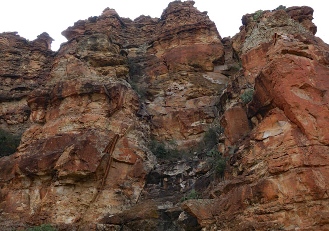
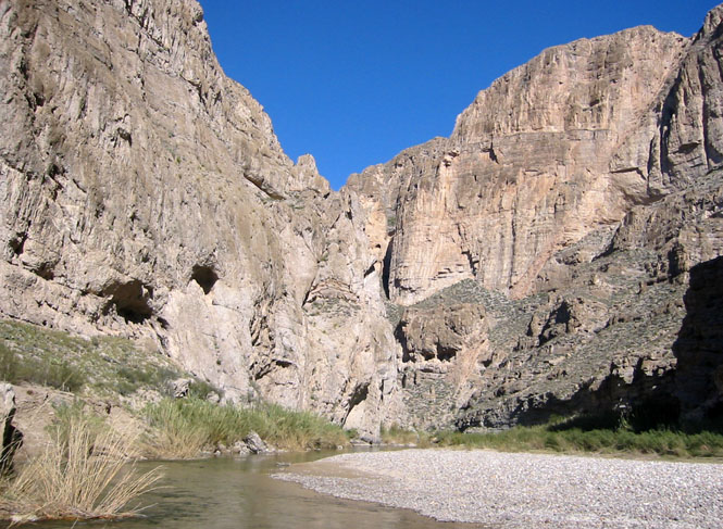
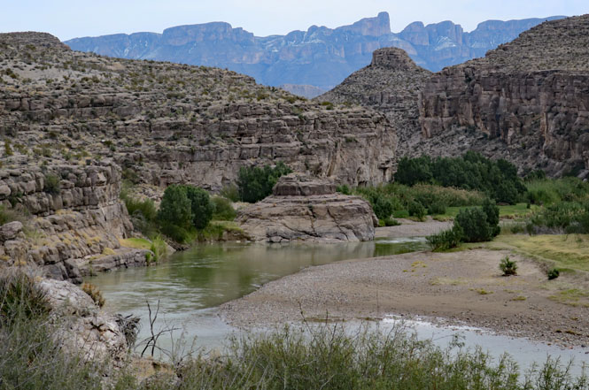
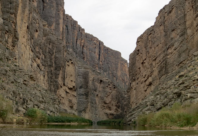
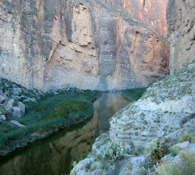
Boquillas Canyon Trail
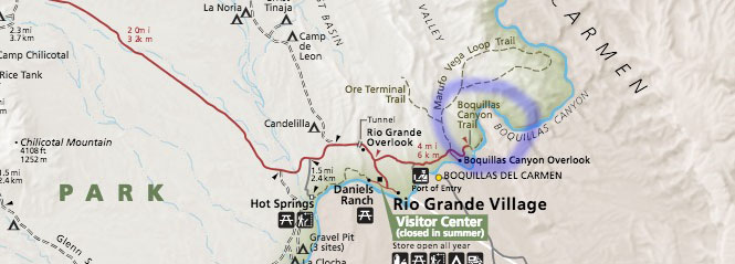
There are two Rio Grande canyons within the park that are easy to get to: Boquillas and Santa Elena. Both are worthwhile.
Most of these photographs are from 2001.
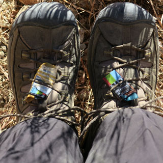
I almost always swap my motorcycle riding boots for walking shoes.
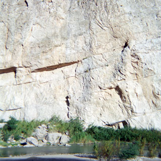
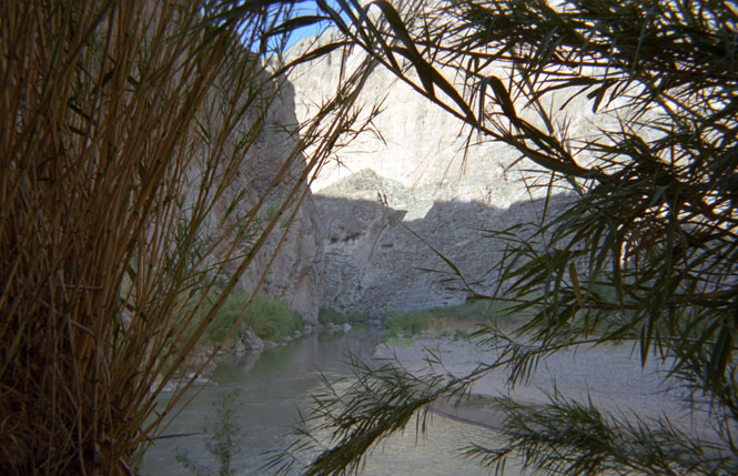
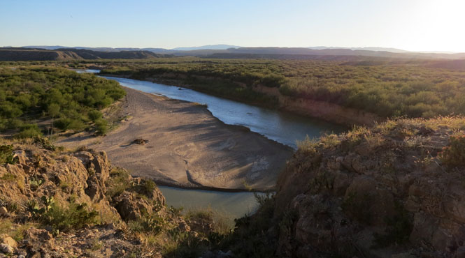
The river continues, but the path ends here. That's Mexico on the other side of the river.
Boquillas del Carmen, Mexico
First: you will need your passport.
On my first visit to Big Bend (on a motorcycle), I came to the crossing, but didn't continue since it was getting late and I didn't have anyplace to spend the night. I wish I had made that crossing since that was well before 9/11 changed everything.
After 9/11, it was illegal to cross the river into Mexico and the small village of Boquillas suffered. A new port-of-entry facility opened in 2013, so now you can cross into Mexico on an approved boat.
You can also just wade across, as that man in the background is doing. It only costs $5 by boat (round trip).
 Mexico
The Rio Grande changes its course over the years, but the international boundary does not. Consequently while I'm standing in Mexico on the south bank of the river, the other side of the river also is in Mexico.
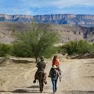
You can ride a donkey into town, but I decided just to walk. It's not much more than a half-mile.

Boquillas del Carmen, Coahuila was founded in the late 19th century to support the nearby silver mines on both sides of the river (the silver being sent to El Paso). The mines shut down with the end of World War 1 and Boquillas has since depended on tourists from the United States. The nearest town to Boquillas within Mexico is still 160 miles away. This is a remote place unless you cross the river.
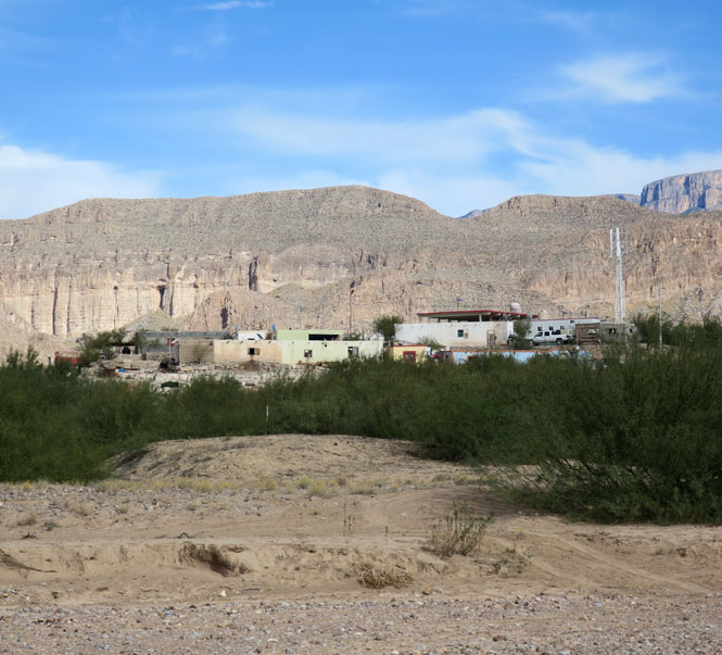
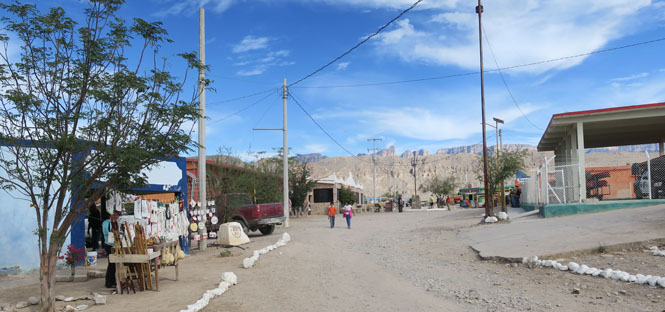
Selling things and food to tourists is mostly how the town makes a living.


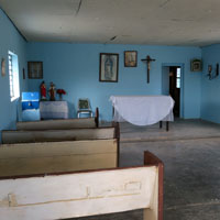
A bar, a school, a church.
Electricity for the town is supplied by solar cells.

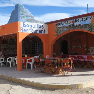
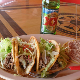
There are two restaurants in town (connected by family ties) that are just across the street from each other. I had cabrito tacos at the Boquillas Restaurant, which are not available at the other.
Burro Mesa Pour-off
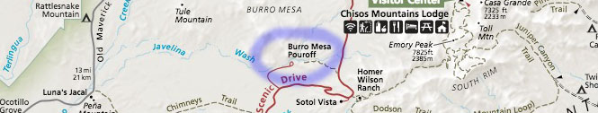
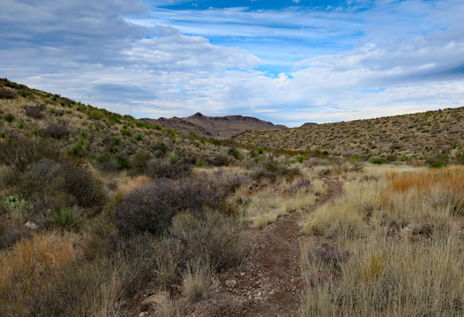
Upper Burro Pour-off Trail was recommended to me by one of the rangers. Curiously, it's not listed in the trail guide that's in the hand-out, although the parking area is clearly marked on the road. I would come to understand why they might not want too many casual visitors to go marching down this trail--they might not easily come marching back.
It begins easily enough.
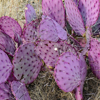
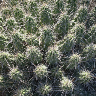
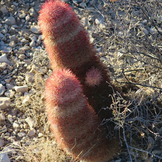
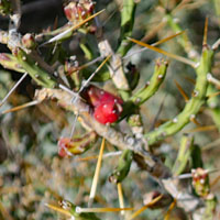
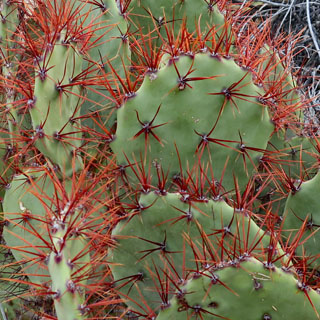
Avoid brushing up against either of these.
Pretty soon the trail requires a bit more care. It's no longer level.
See that small stack of rocks towards the right? That's the easier path. The (seemingly) obvious straight-ahead route is not going to be as easy.
Looking back up the trail that I've just come down.
More natural rock steps to go down.
Things are getting more narrow and more steep.
Oh...
...looking back up the trail after I've come down. It would take a bit longer to figure out getting up.
At the end. I know enough not to walk past that small string of rocks at the opening; it's a very long way down.
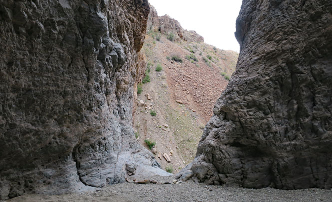
So, let's hike up another canyon to the bottom of this pour-off. At the end of the canyon...
...is the pour-off. The water (when there is water) starts at the top of the grey rock and drops a considerable distance to the sandy floor I'm standing on.
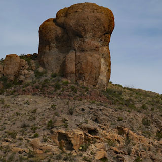
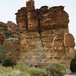
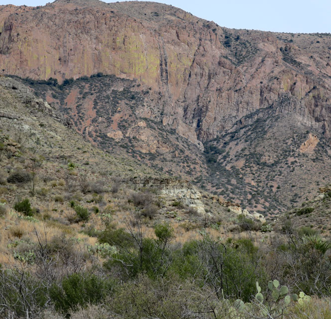
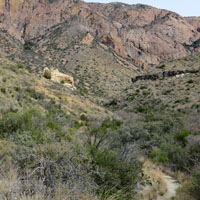
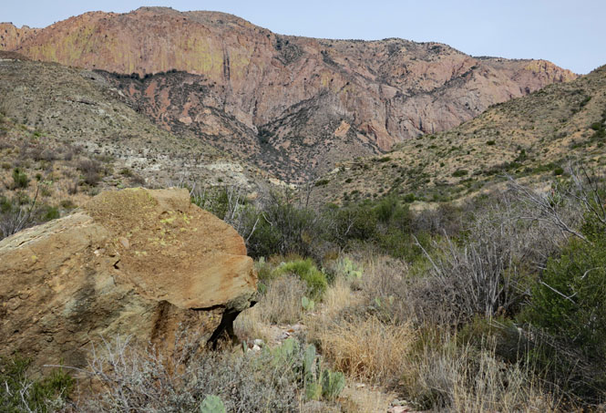
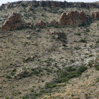
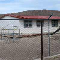
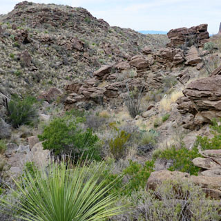
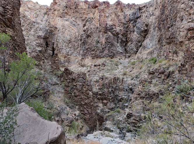
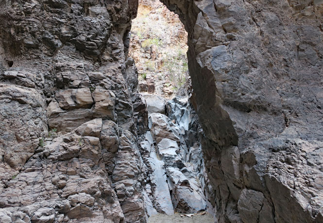
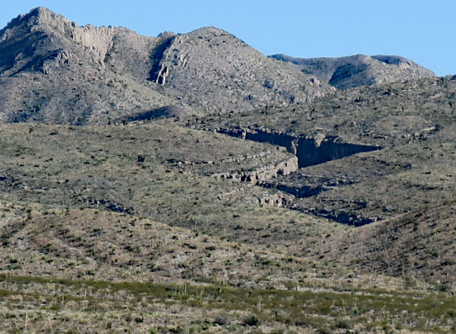
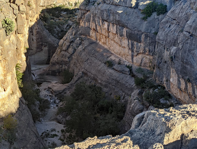
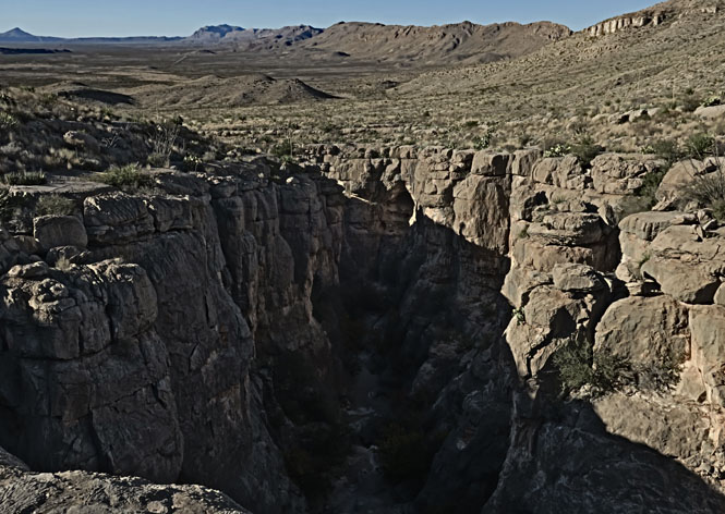
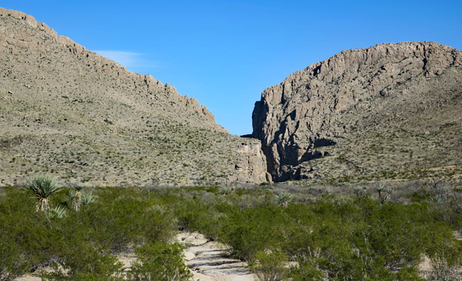
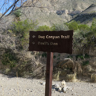
Devil's Den

Dog Canyon is the more spectacular, but Devil's Den is worth visiting (even if it's not shown on the map). In the photograph (below), Dog Canyon is seen on the left. If you look to the far right, you'll see what looks like a crack in the hills. That's Devil's Den.
Here's a closer view of that same area. It is generally possible (albeit, difficult) to stay down in the canyon, but, I'll be up top on the south (right) side.
The trail signs would have you walking to Dog Canyon and then turning right to get to Devils Den. Instead, I'll be walking straight across the desert. It's visible from the start (as you saw in the photo), so why not?
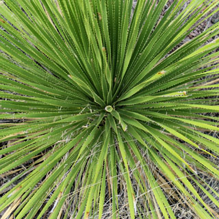
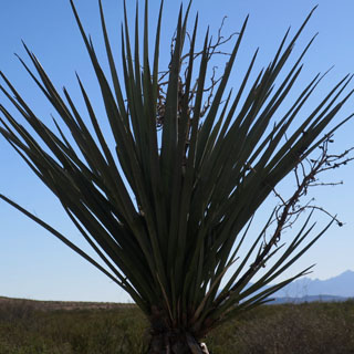
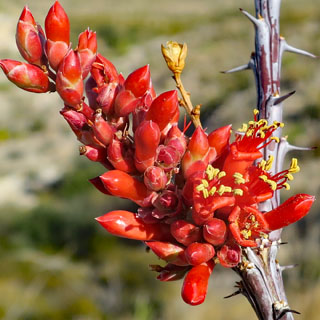
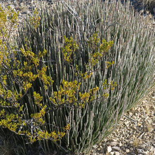
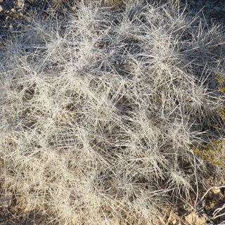
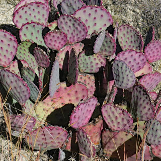
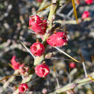
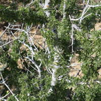
It's always good advice not too touch any desert plants and to avoid even running your hands along your pants. These little thorns are hard to remove.
I'm much closer and still staying on the upper level. I think many people naturally drop down into this broad area, but then find themselves entering the canyon without an easy way to climb up the sides (except to turn around).
Looking back to where I started. Before starting the hike, I noted that peak on the horizon as my goal on returning. If I aim for that mountain, I'll end up at the road where I started.
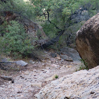
The canyon deepens.
There's no running water this time of year, but it's obvious that in the springtime, there can be quit a bit. You can see the difficulty of walking down there--climbing all those small waterfalls would be a chore--but, I'll bet it's an amazing place to be.
The view looking back.
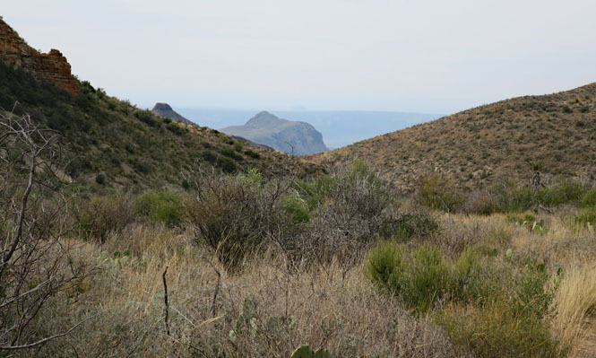
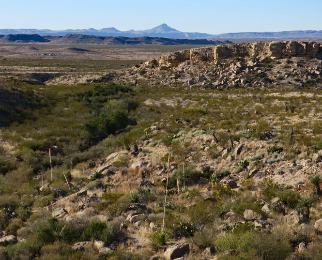
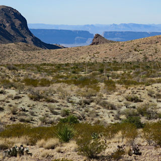
Dodson Trail
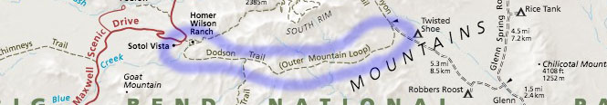
Usually, the start of a new trail is where it's easiest to follow. But, here, it's not so obvious.
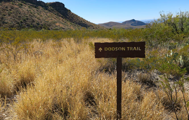
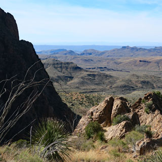
All the trails that start within Chisos Basin can be busy--or at least you will likely meet other people on occasion. But, these trails on the outside of Chisos Mountain are never crowded. You can expect to never see another person all day.
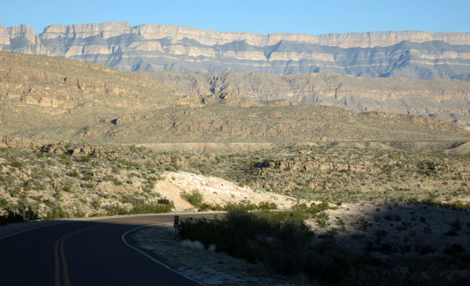
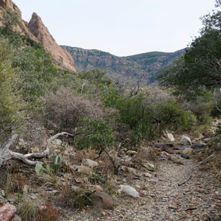
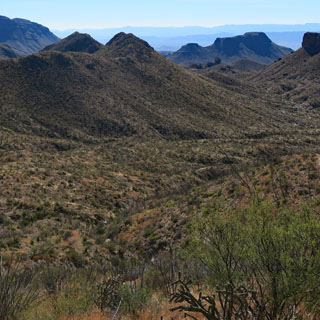
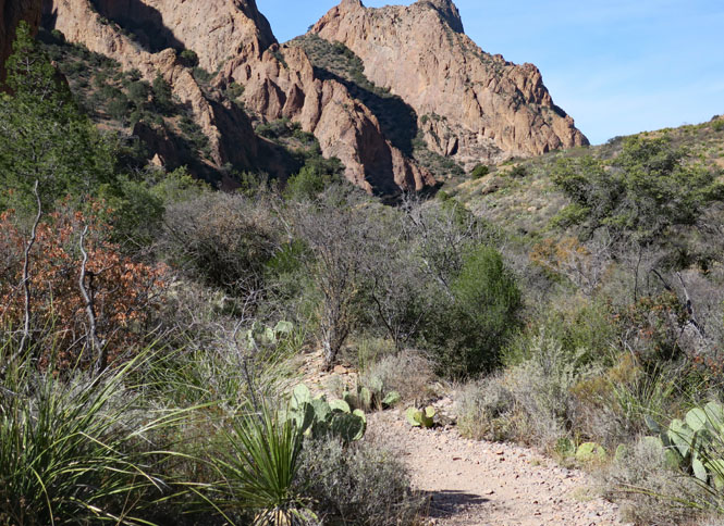
That far gap with the triangular point in front? That's Santa Elena Canyon, where the Rio Grande flows.
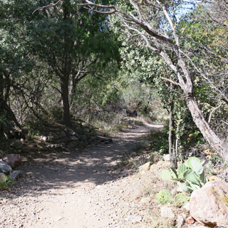
Some of the trail is in a creek bed; this is not a difficult trail to follow. Where needed, there are usually a few cairns to let you know you're on the right path.
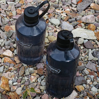
I've reached a high ridgeline, so this is a good place to rest before turning back. I carry two one-liter bottles. When I've used half my water, it's time to go back. But, what to do with the empty (but, sticky) wrappers from the energy bars you've just had? Strap them down with laces and walk them out.
The view looking back on the trail. I'll be walking around that castle-looking formation on the right.
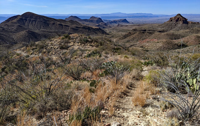
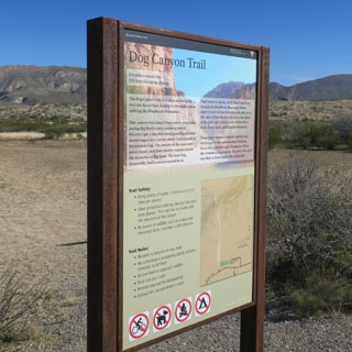
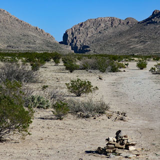
Dog Canyon Trail
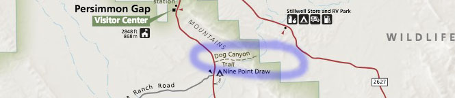
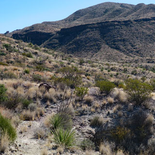
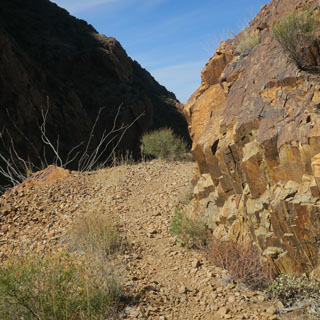
Dog Canyon Trail is just south of the entrance station, and I imagine that most folks will pass it by becaue they're in a hurry to get to the more famous parts--that's what I used to do.
The trail begins with a fair amount of level walking across the hard desert floor. It's almost always the case that you'll see far more trail cairns where you don't need them, and almost none where you do.
I'm sure if I were to dig down several feet I'd come to some water; but, there's no water in Dog Canyon today.
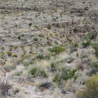
It's a beautiful area. It's not likely that you'll ever see anybody else on this trail.

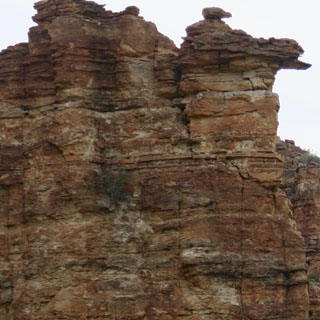
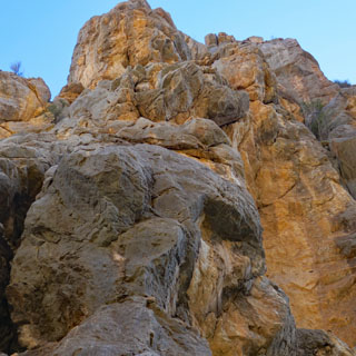
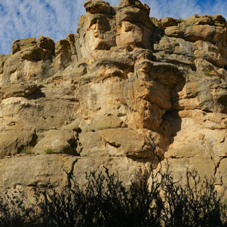
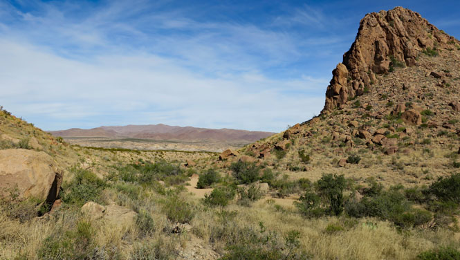
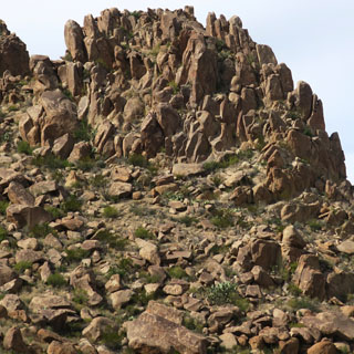
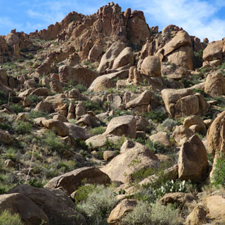
Grapevine Hills and Balanced Rock
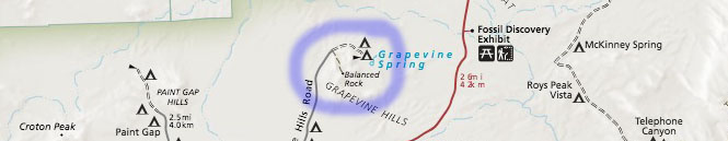
The map shows that the entry road to the trail is a prepared dirt road. Perhaps that's so, but you'll want to be very careful. The roads shown by a dashed line are pretty bad and only four-wheel-drive vehicles are recommended.
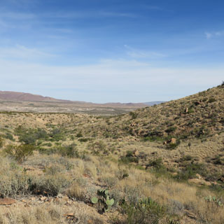
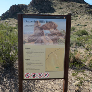
It's an easy trail and not all that long. But, the last 200 yards to see the balanced rock are a struggle that many people should not attempt.
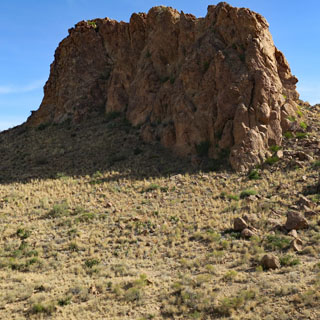

The photo (below, right) gives an idea of what the final trail looks like. In parts, it's mostly vertical with a few hand-holds that have been made. Going up is much easier than coming down.

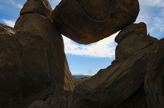
Here we have the promised balanced rock and the view beyond.
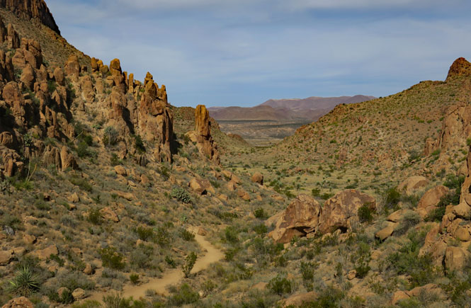
Looking back on the trail that has brought me here.
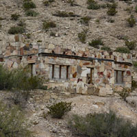
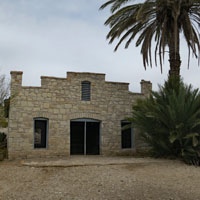
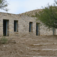
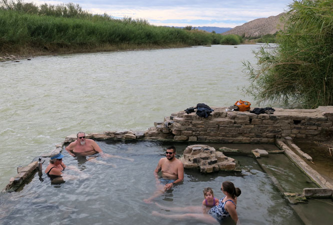
Hot Springs
Many years ago, these buildings supported the intrepid tourists who came to the hot springs, which were through to cure any number of ills.
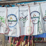
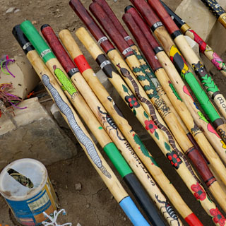
Walking sticks made in the Mexican village of Boquillas. Take what you want; leave the money in the coffee can.
I didn't come prepared (as these people did). I asked if the water was warm and was told that it was hot. That's Mexico across the Rio Grande.
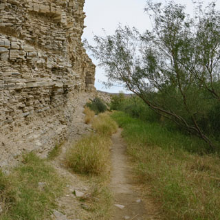
Mexico on the right, the United States on the left. I'm on the trail to Daniel's Ranch.
The trail wasn't always obvious, but there were enough built-up cairns that staying on it wasn't a problem.
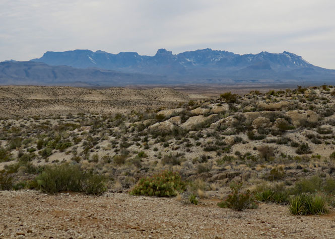
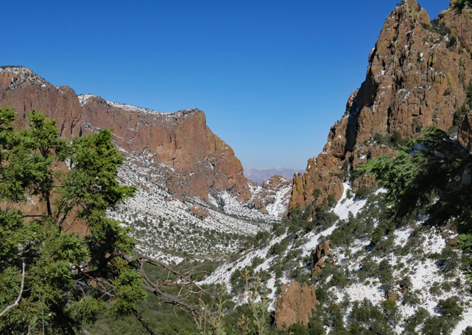
Looking back at the Chisos Mountains from the southeast (the Lost Mine Trail is on the ridgeline on the right side).
In these rocks, the trail isn't hard to follow, but if you were to wander too far from it, you might have some difficulty finding it again.
Looking west from a high-point on the trail.
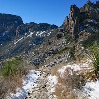
Lost Mine Trail

The Lost Mine Trail starts at the summit of the Chisos Basin Road (north of the basin).
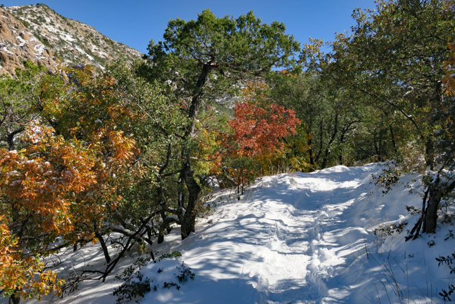
The day before, a large part of south Texas had far more snow than is usual--regardless of the time of year. Perhaps it was a record for the basin, but there is some uncertainty about that. In any event, I wasn't expecting to be hiking through fresh snow on the trail that was at times over a foot deep.
The trail isn't far (about five miles out-and-back), but it is pretty steep--particularly that last 1/4 mile before you reach the top.
The views are amazing; this is looking towards the southeast from the trail ridgeline.
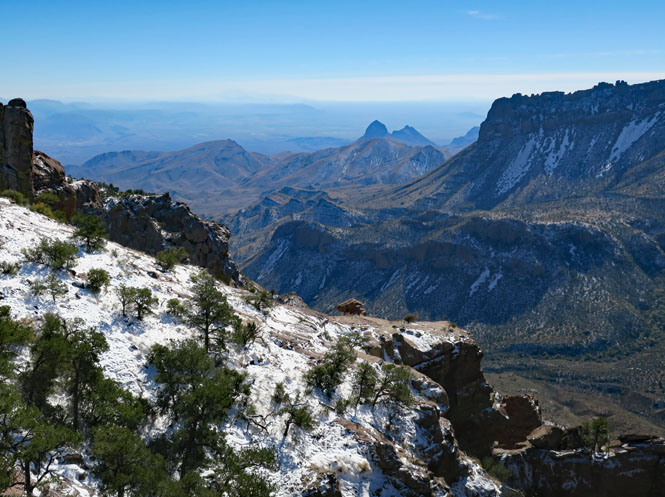
Looking west before starting back down.
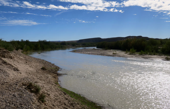
Santa Elena Canyon
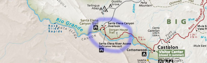
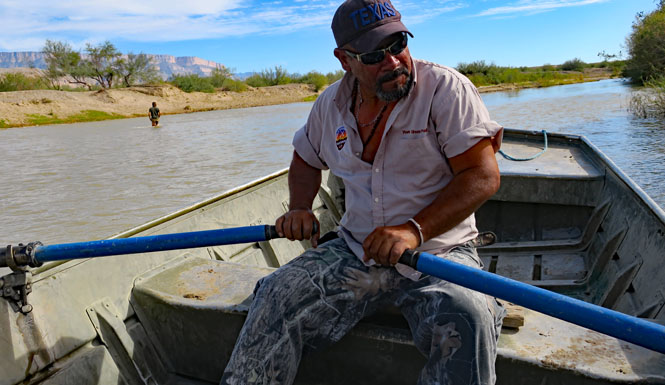
You won't be hiking too far into the canyon. Rafting is an option.
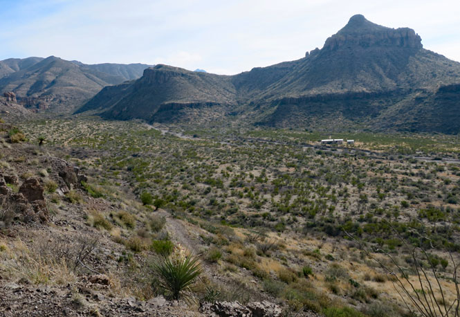
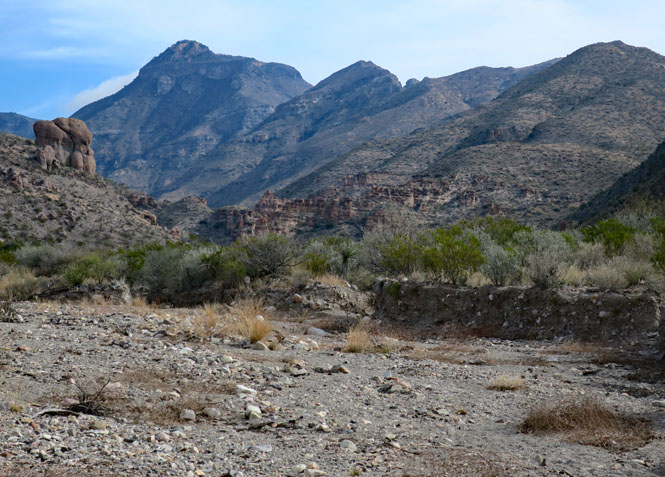
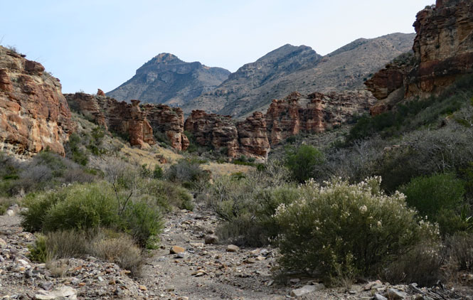
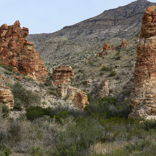
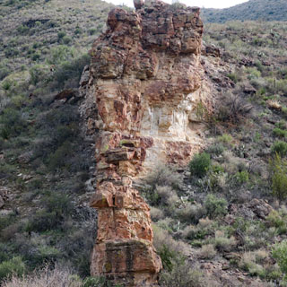
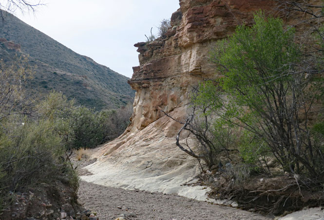
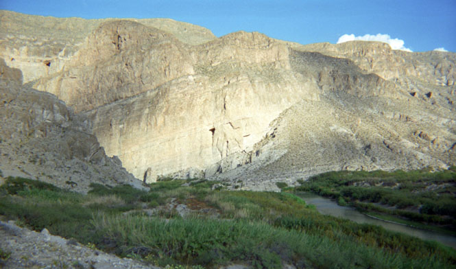
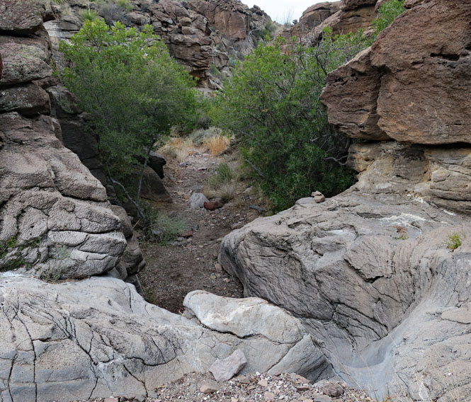
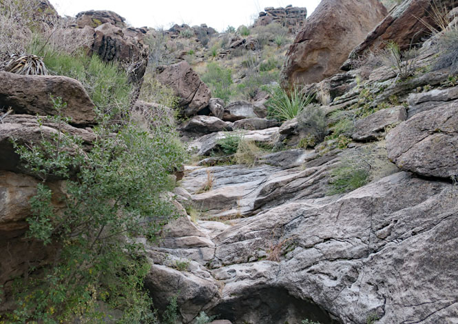
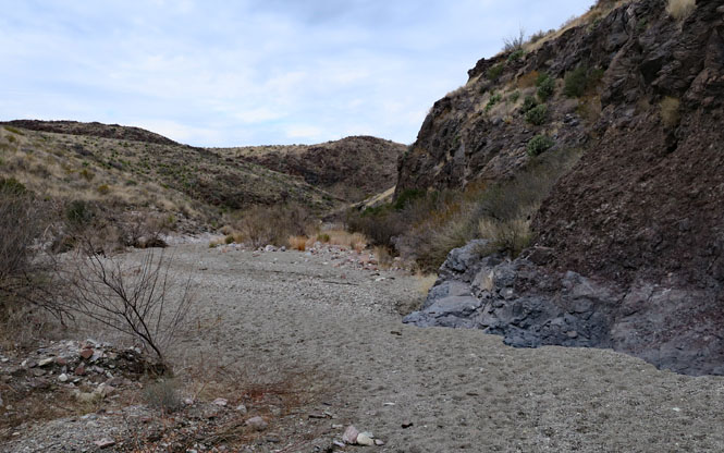
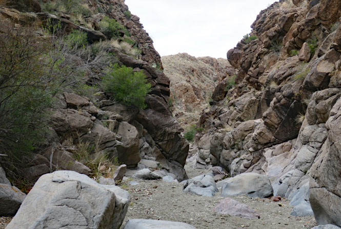
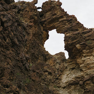
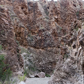
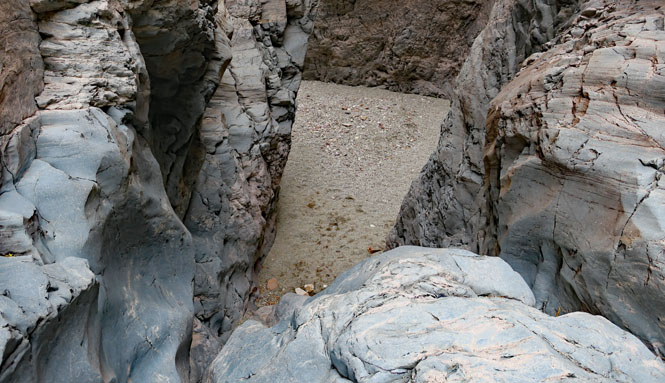
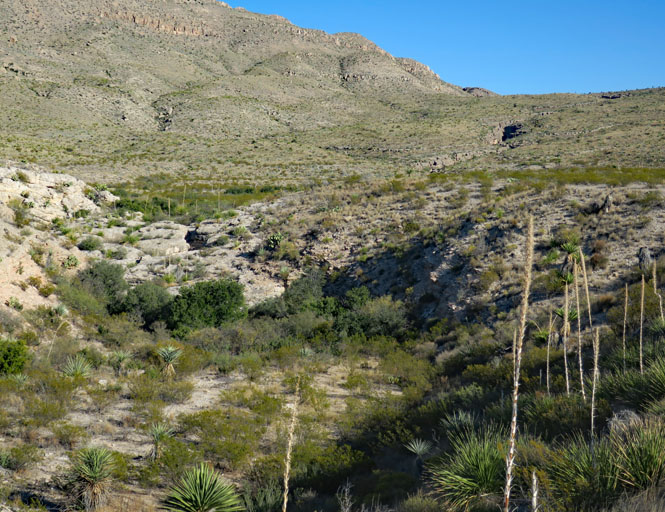
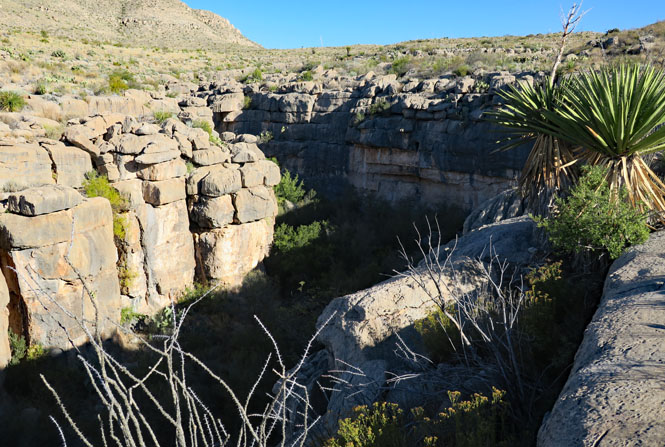
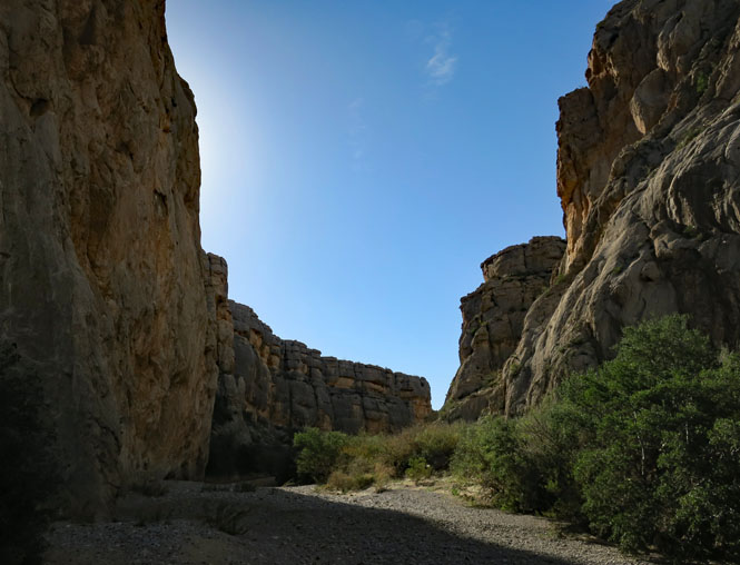
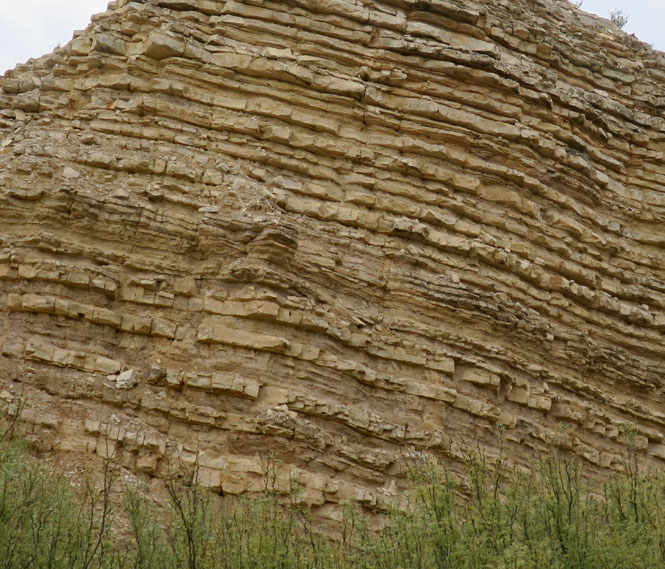
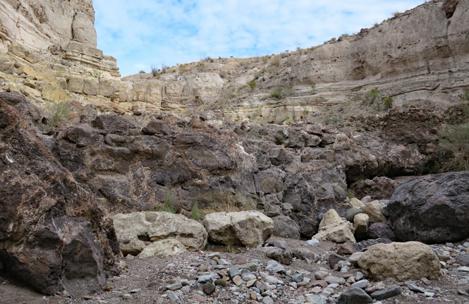
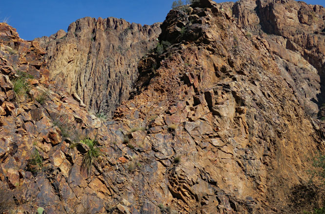
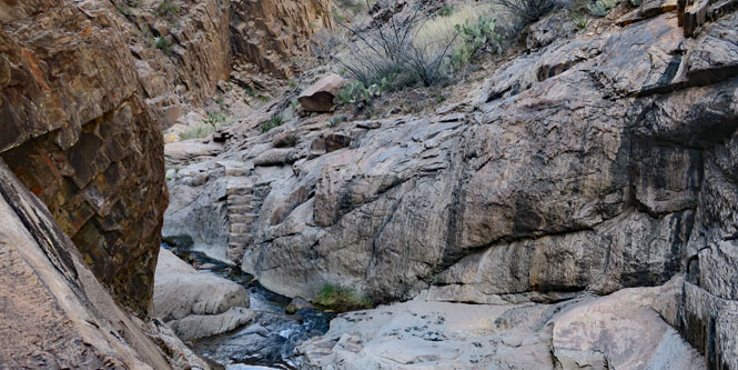
Tuff Canyon
Tuff Canyon (and Blue Creek). This is an unexpected narrow canyon not really that far from where the Blue Creek eventually enters the Rio Grande.
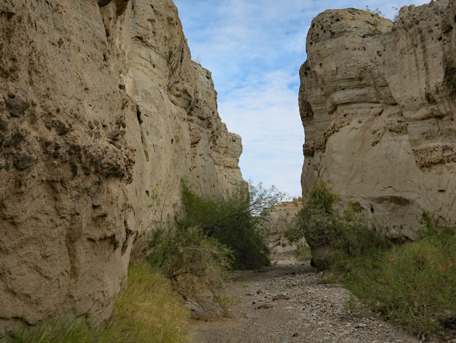
Upstream, the water flow is impeded by this tongue of hard lava. Water won't cut through this nearly as easily as the rest.
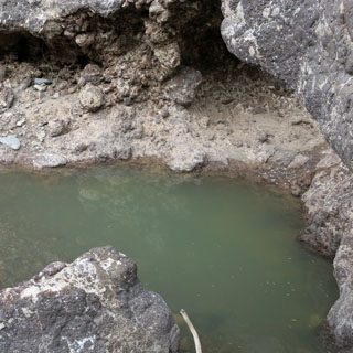
I'm surprised to see a pool of water. I wonder if this is here all the year around?
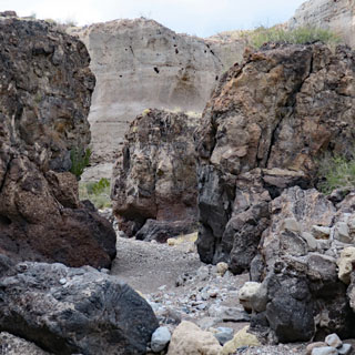
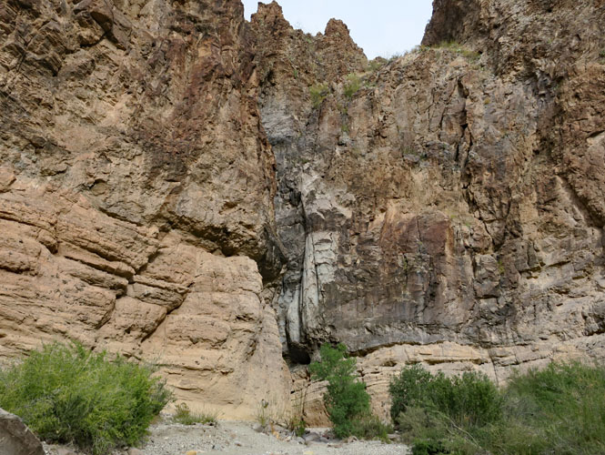
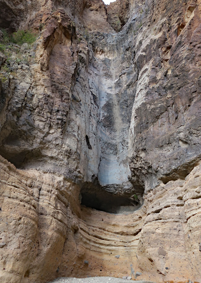
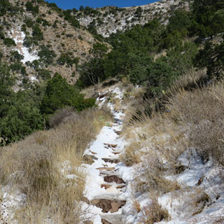
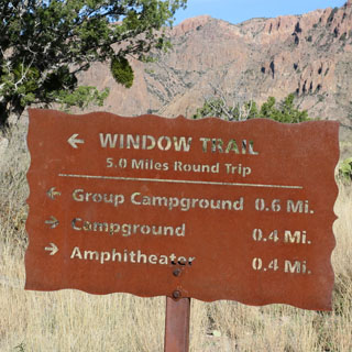
Window Trail
I'll be walking the Window Trail, which is one of the more popular basin trails.
Naturally, it's all downhill from here.

There are quite a few steps in the beginning, but then things level out before the trail reaches the narrow window.

At times of the year, Oak Creek will be running full; not today.
The trail is in the creek bed. At this point, there's running water.

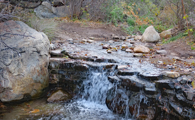
Not far from here, the creek reaches the pour-off ledge, and drops out of the basin.
Oak Springs Trail. There's another trail, which joins the Window Trail, that continues following down to desert floor. I'll take it just far enough to reach the summit.
The view looking towards the northwest.
It's a pretty steep trail; nothing insurmountable, but take care of the loose rocks that can have you rolling downhill with each step.
The return back to the trail head. It's the same trail up as you took down--it only seems steeper.