Focus on Nevada

 Nevada
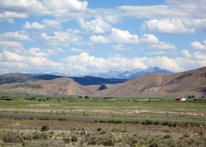
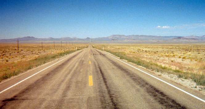
Nevada has the same straight, artificial boundaries as the other western states (save the border defined by the Colorado River), but even so, its geography is as unique as if it were defined by natural features. It's mountainous, but because a much taller mountain range to the west shields it, the moisture needed to turn its mountains green and covered in trees isn't there--so it has a reputation of being nothing but a wide flat dessert, which it isn't.
The photos, below, are from twelve separate trips taken over forty years of traveling (including one obvious shot taken from a train). Conspicuous by their absence are any photographs of Lake Tahoe (shared with California) or Reno or Las Vegas. I'm not sure how that happened.
Not knowing any better way, this is organized by highway number.

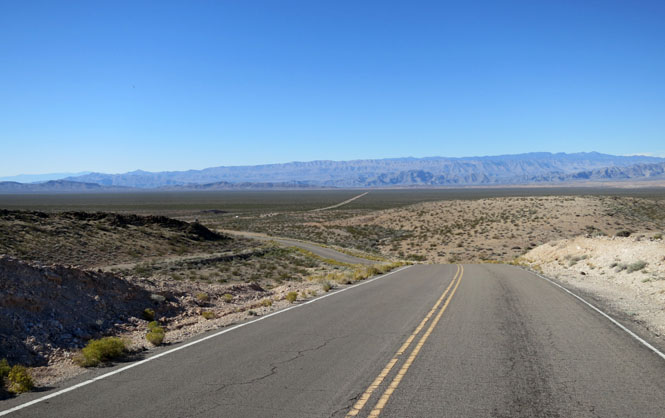
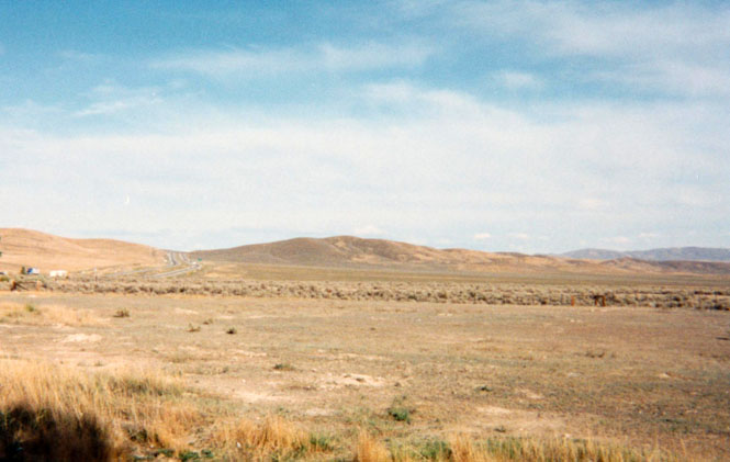
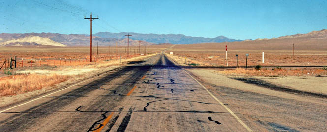
The interstate takes the general path of the emigrant California Trail--later the Victory Highway--across northern Nevada. The route generally follows the Humboldt River until that river dies in the Humboldt Sink. For that reason (the water), the first transcontinental railroad also followed this route.
For California emigrants, the western connection of the Hastings Cutoff linked with the California Trail at about this point. If you were traveling with a large, slow, wagon train, it was best to avoid these risky cutoffs as the Donner Party learned with disastrous results.
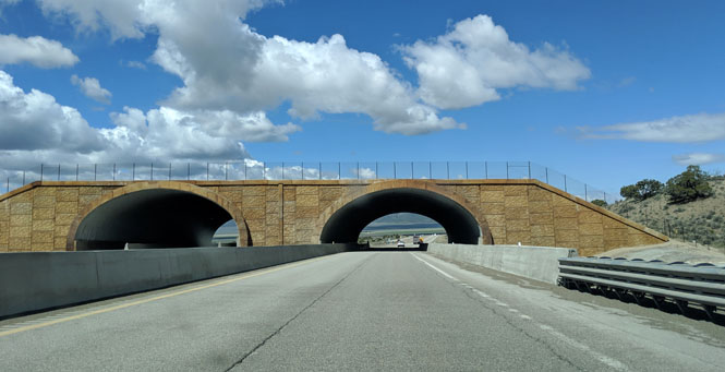
There are a few freeway crossings to help the deer and antelope continue their north-south migration without smashing either themselves or cars. They've learned where the crossings are and I think it has been a successful program.
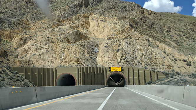
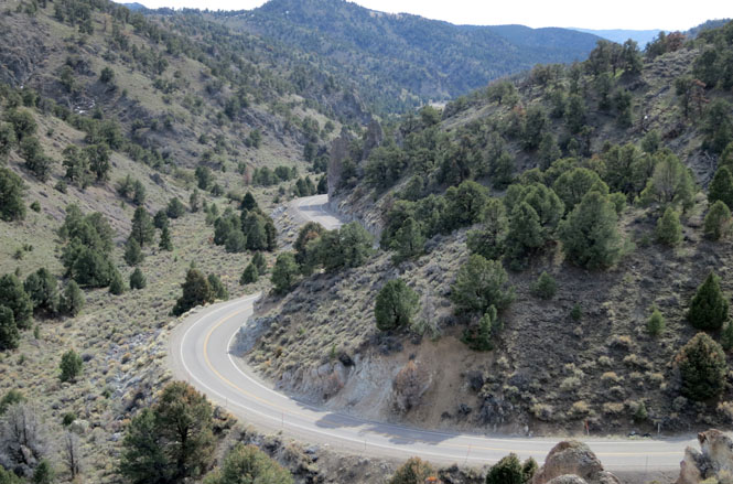
There are just three tunnels on I-80 across the United States; this is the Carlin tunnel, which avoids the sharp bends of the Humboldt River that the old Victory Highway followed.
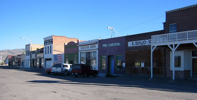
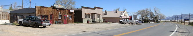
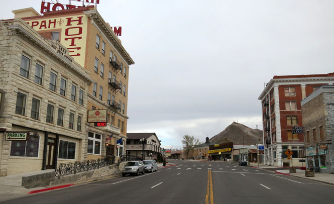
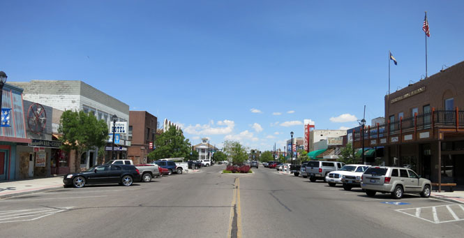
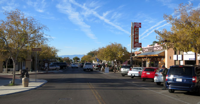
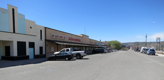
Elko, Nevada. Most all the towns along the route of I-80 were established because of the railroad, but later lived or died according to the success of whatever mine was nearest.
You'll often find three separate main drags through any of the towns along I-80: 1) the old Front Street next to the tracks (as with this photograph), 2) Main Street and the route of the old Victory Highway and 3) the interchange out on the freeway.
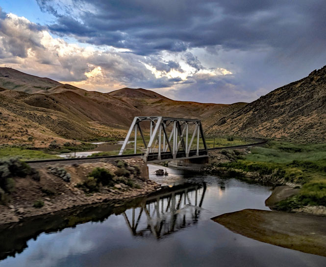
The railroad is not always next to the freeway, but rarely strays too far from any source of water. There are two historic competing railroad lines along the route: the Western Pacific and the Southern Pacific. As both of these lines are now part of the Union Pacific Railroad, the separate lines (often running on either side of the river) are used to expedite east-west traffic.
This is the Humboldt River, when it might still seem to be a conventional river to those first emigrants to California. It was a cruel joke when the river (by now undrinkable) ended at the Humboldt Sink and vanished into the desert while they still had many miles to go before picking up the Truckee River.

This highway is limited in length, and is the route through the Red Rock Canyon, west of Las Vegas. Within that city, the road is called Charleston Boulevard.
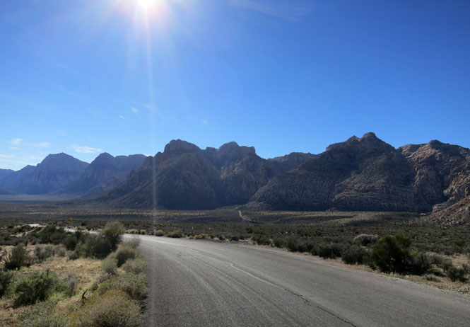
You're not far from the big city, but you wouldn't know it. All this depends on the local council maintaining a firm hand--over what must be enormous pressure--to keep the sprawling development of western Las Vegas from climbing to the ridgeline that overlooks this area. The views would be spectacular for the lucky few homeowners, but this valley would be ruined.


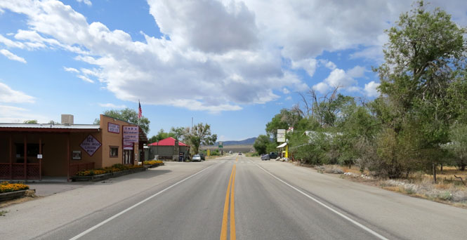
This state highway is a connector between US-6 on the northwest end and US-93 on the southeast end. Do not count on any fuel along the way (although somebody in Rachel might help you out in a pinch).
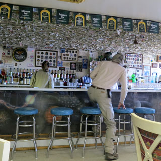
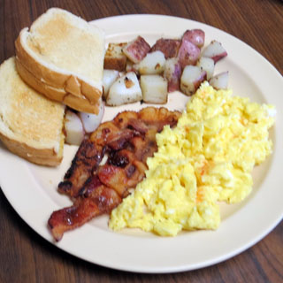
Rachel. There's a fair amount of Area-51 and UFO nonsense around here, but, the locals do what they can to ensure a steady (if small) stream of cars stopping at the cafe.
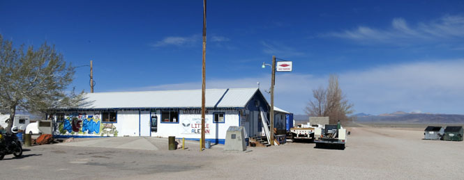
The cafe is worth stopping at. The breakfast is acceptable and the money stuck to the ceiling is pretty funny.


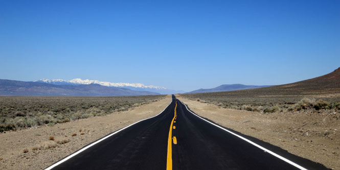
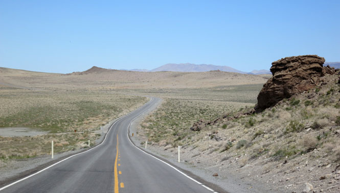
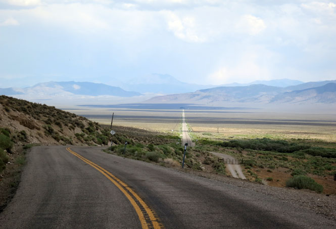
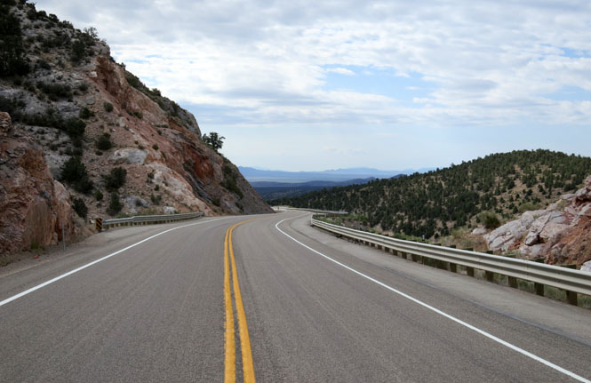
Nevada has three east-west routes that manage to cross (or go around) the largely north-south mountain ranges. Between those mountains, you'll find a few very remote state highways that connect all three. NV-376 connects US-50 with US-6 between Austin and Tonopah.
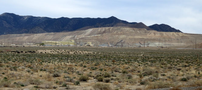
Mines such as this one, can be seen all across Nevada. This is the Round Mountain Gold Mine.

This state highway connects two remote areas that hardly see any visitors: the northeast corner of California and the northwest corner of Nevada.
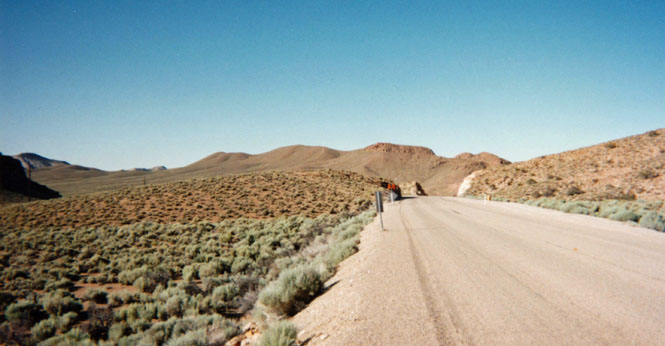
Do not expect to see a single car on this road.
Gerlach. The area is known for land-speed record attempts at the nearby Black Rock desert as well as the Burning Man festival.
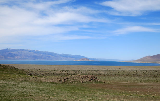
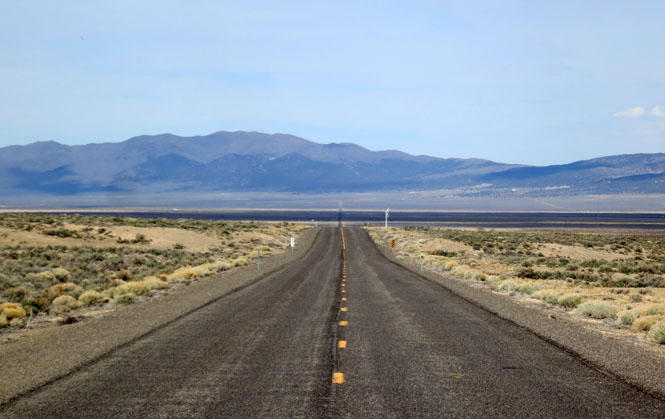
Pyramid lake drains the Truckee River, which starts at Lake Tahoe and the Sierra Nevada Mountains. Everything flows into the lake; nothing flows out.
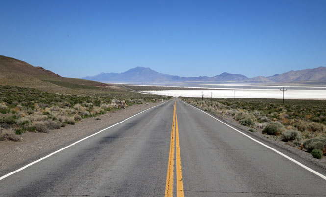
As you'd expect from an evaporative basin, there're plenty of mineral flats.

Instead of running west out of Ely towards Delta, Utah, NV-487 lets you angle to the southeast, to connect with Beaver, Utah. It's a shortcut that evidently not many people need--with one exception. If you're visiting Great Basin National Park, you'll need to take NM-487 to Baker.
Baker.

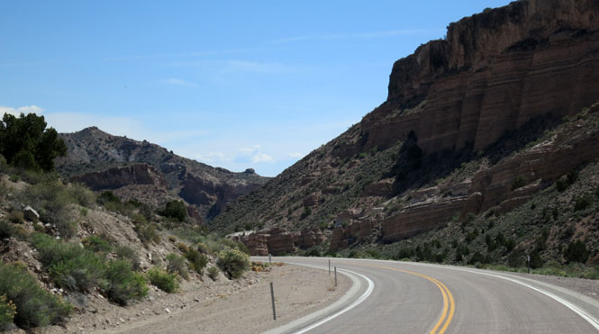
The original route of US-50 (which means the Lincoln Highway) followed this scenic, mountain route. But, by 1967, today's routing of US-50 was completed, which ended most all traffic not related to the local ranches.

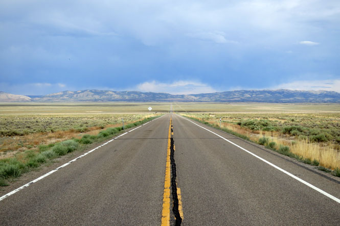
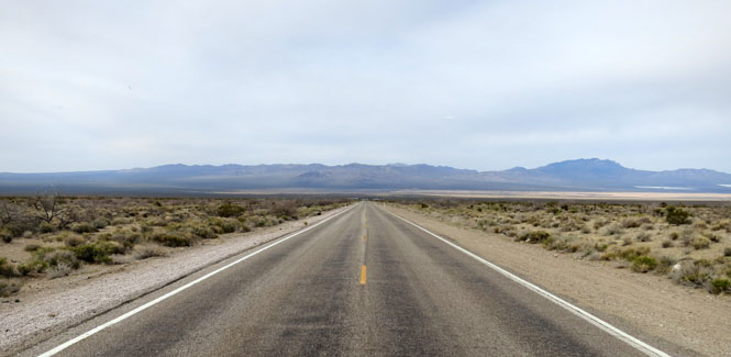
This is one of the three highways across the state from east-to-west, but it's not really used much for that, I think. The problem is that neither end is actually on the way to anything else, so this will hardly ever be an efficient cross-country route.
On separate trips, I had either miles of fresh chip-seal or miles of fresh tar. Pick your favorite.
US-6 is anchored by the mining towns of Tonopah at one end and Ely at the other (but, I think I'll file Ely under US-50).

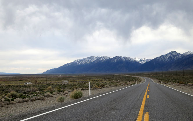
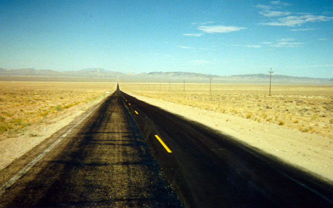
This is a route of historic importance. It's the route of the Pony Express, The Overland Stage and the Lincoln Highway. Many years ago, a Life Magazine article proclaimed it to be the "Loneliest Road in America." That wasn't really true then, and it's certainly not true today, but the local communities have embraced that slogan, and you'll see it, often.
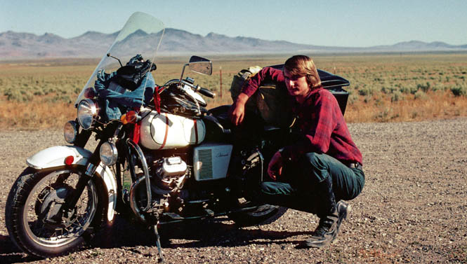
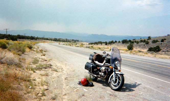
A photograph taken with a timer from over forty years ago with a 1973 Guzzi California Police. I used to pack more (but then, I used to camp more, too).
A failed U-joint several miles east of Ely. It'll be a long wait for the next car to come along and even longer before a car stops (this being before cell phones).
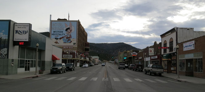
Ely is the largest town on the east side of US-50 in Nevada.
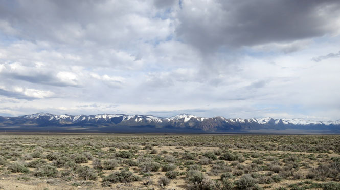
The Toiyabe Range.
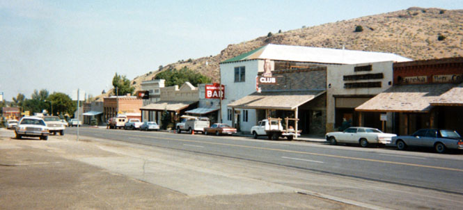
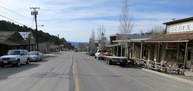
Eureka is a mining town that has had several booms (and busts).
Fallon is known for the nearby Fallon Naval Air Station, the Navy's primary flight training facility.
Austin is another mining town.
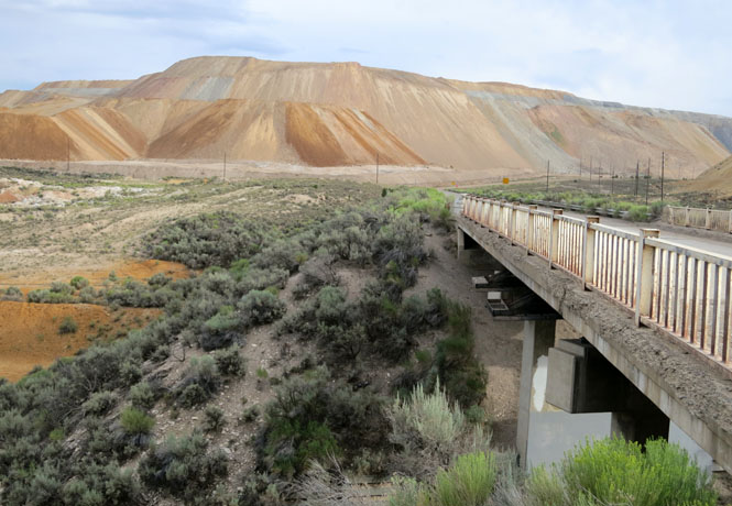
The Robinson Copper mine in Ruth.
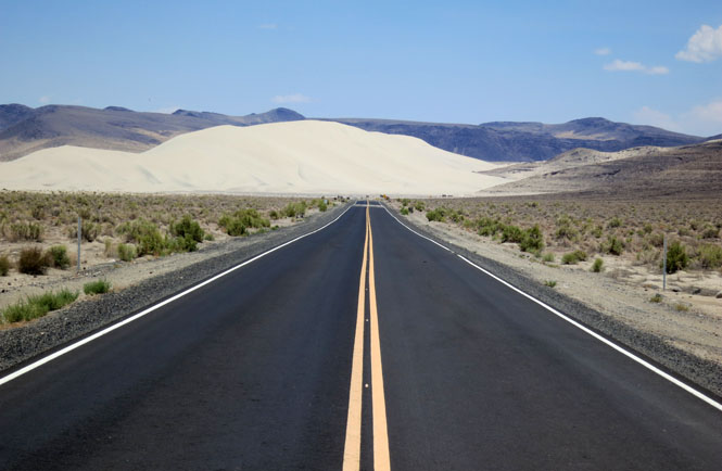
Sand Mountain and a short spur that leads from US-50. You can try to walk to the top; I've never made it.

This route crosses the country from north to south and runs through all of eastern Nevada.
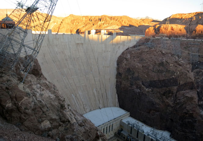
Boulder City was built especially for the construction workers of Hoover Dam (then called Boulder Dam being built in Boulder Canyon). It's a planned city that has never allowed gambling.
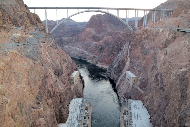
The highway now crosses the Colorado River over a high bridge; it used to cross over the top of Hoover Dam.
Calienta was always more important as a railroad town, but it seems to be hanging on.
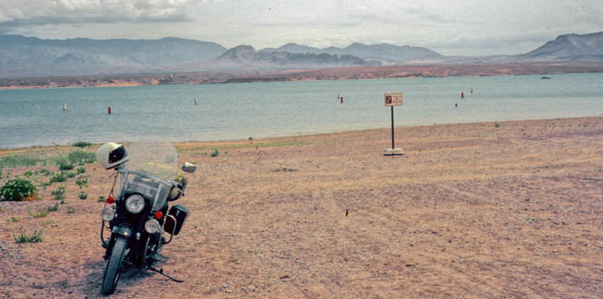
Lake Mead.

Like US-93, US-95 also crosses the country north-to-south, but US-95 stays on the western side of Nevada. Both US-93 and US-95 funnel through Boulder, but US-95 never crosses the Colorado River into Arizona.
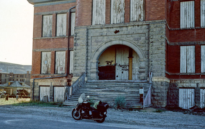
The old schoolhouse in Goldfield. It sometimes looks as if they thought the gold and silver mines would last forever so these grand buildings were built for a bright future. Seeing all the temporary houses (often on wheels) adjacent to today's working mines shows they've learned that lesson.
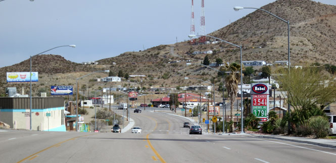
Searchlight, along the direct route between Las Vegas and I-10.
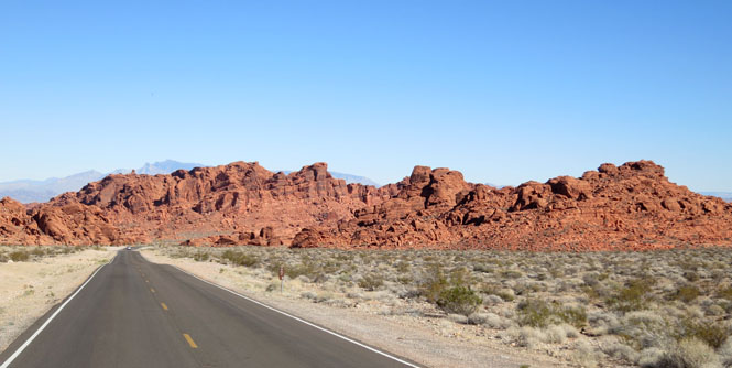
 (Valley of Fire Highway)
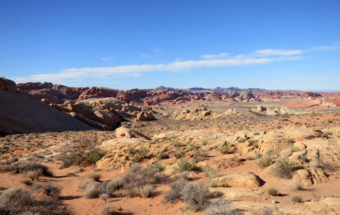
This was loop was once called State Route 40 (and you'll see that designation on some maps). It's quite a remarkable area, not too far from Las Vegas.