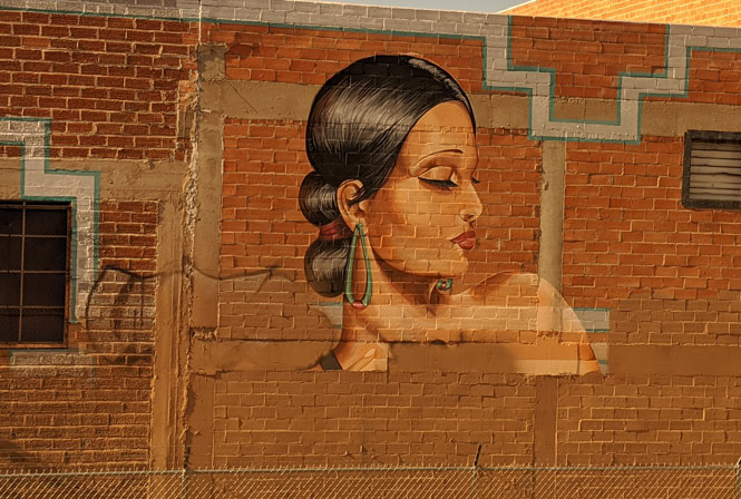
Focus on New Mexico

 New Mexico
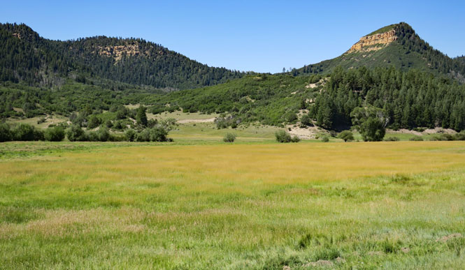
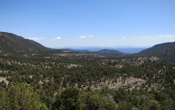
New Mexico is a particularly diverse state, including portions of the great plains on its east and southwestern desert on the west. Right down the middle is the southern extent of the Rocky Mountains.
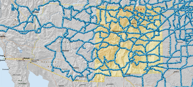
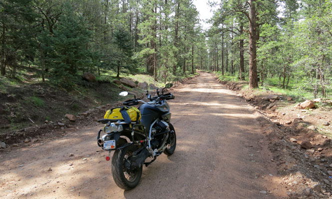
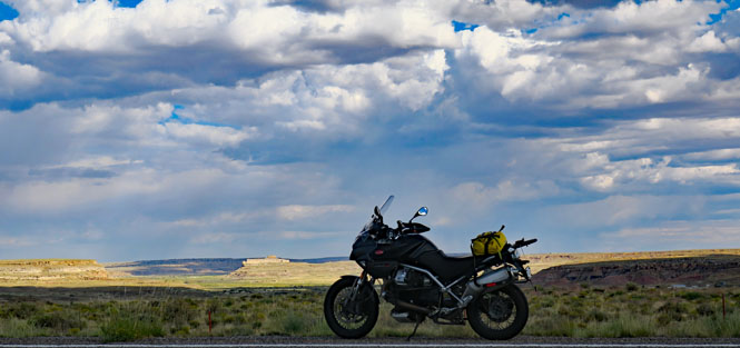
This is a broad photo-journey of the state using photographs from forty-five trips starting in 1982. Most of the trips were by motorcycle (those are shown in the map, above), with the rest being by car and a few by train.
There is no best way to organize this, so I've done it by state and U.S. highway number arranged in numeric order. I tried to arrange photos either north-to-south or west-to-east.
It's often the case that any town will have more than one highway crossing it, so when showing a photo from a town, I just picked one highway number to list it and ignored the others. Likewise, the same stretch of road will sometimes have several highway numbers assigned. That's why you'll not find US-62 in this report, but you will find US-180 (because, in New Mexico, it's the same road).

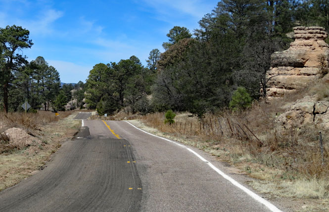
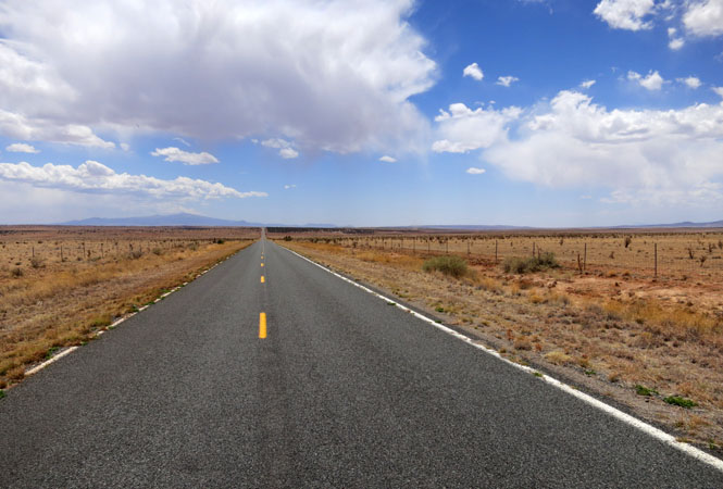
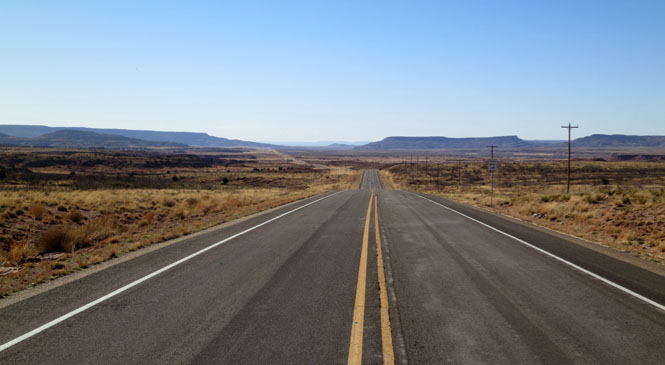
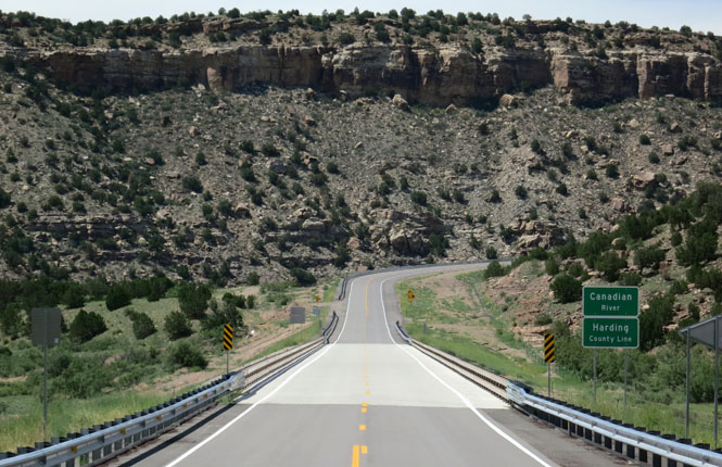
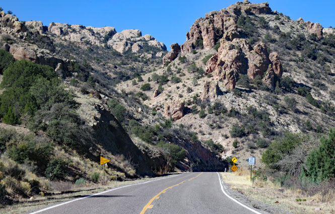
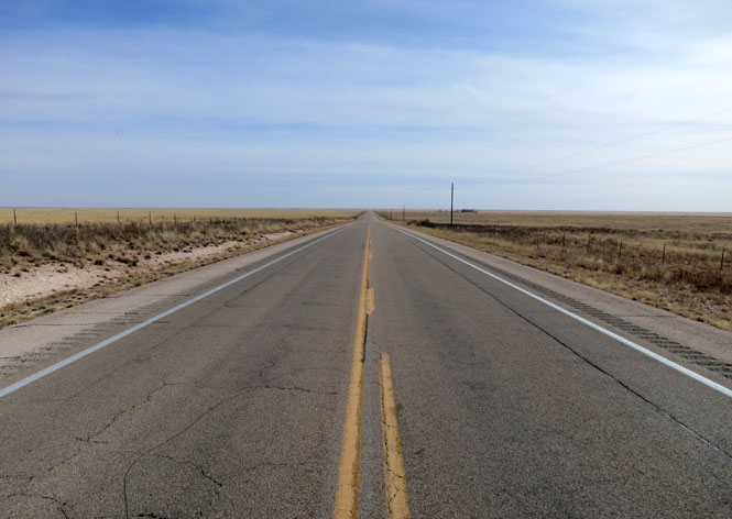
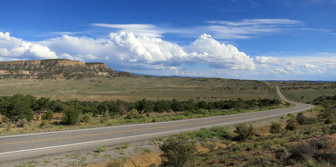
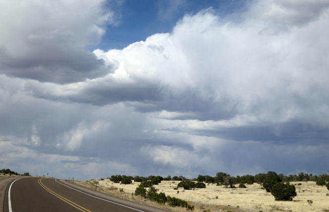
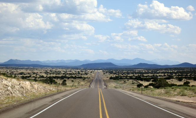
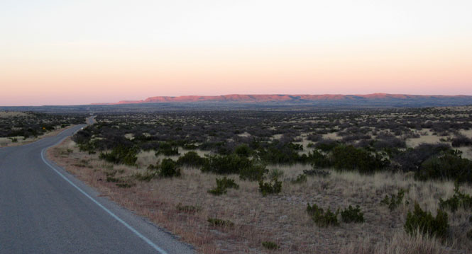
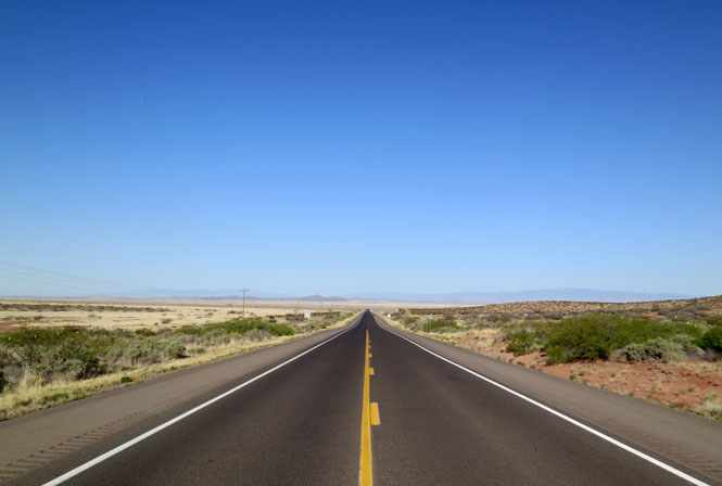
From the Arizona line to Las Cruces, this is the fastest route across the bottom, left-half of New Mexico.
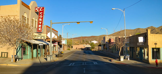
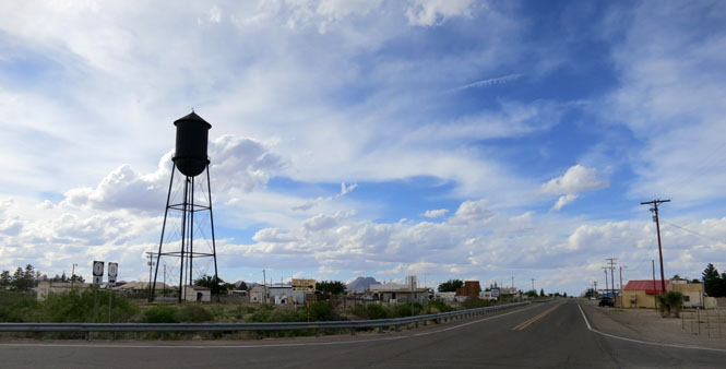
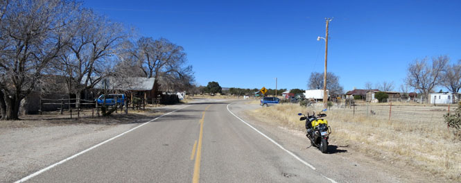
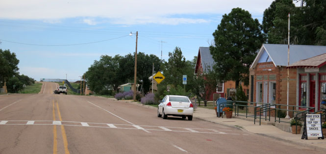
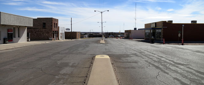
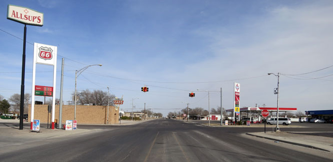
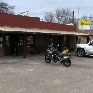
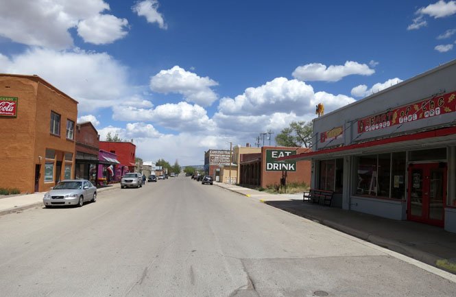
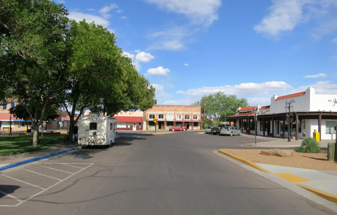
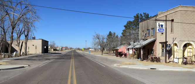
Lordsburg, New Mexico
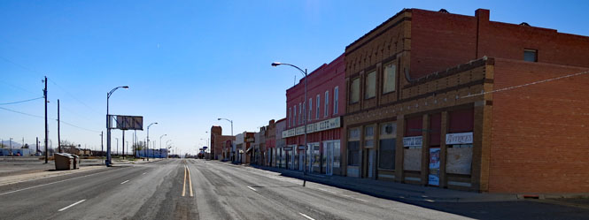
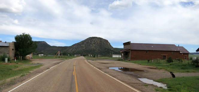
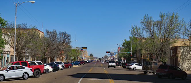
Deming, New Mexico.

This freeway takes a looping route from Denver to El Paso, but that's because it follows the old Santa Fe Trail as it crosses the Rocky Mountains.
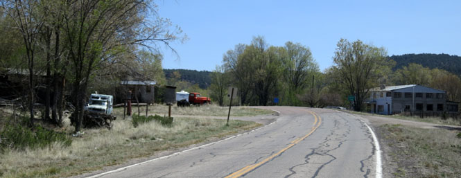
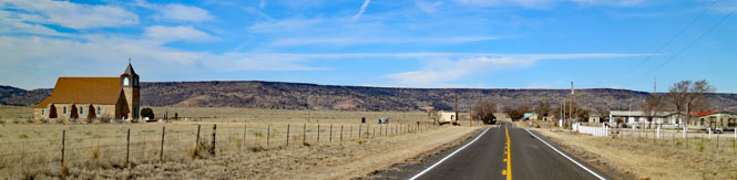
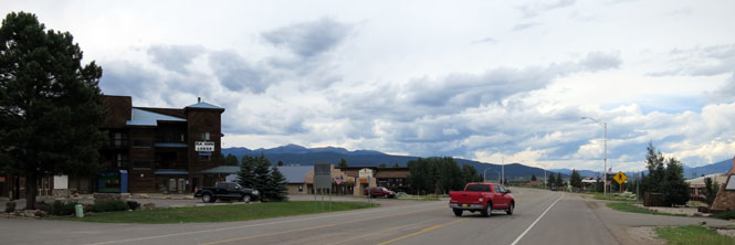
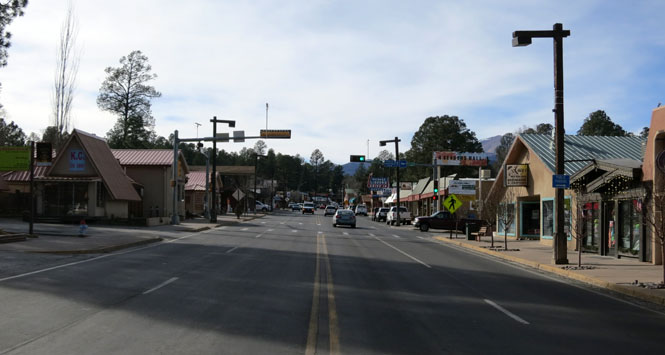
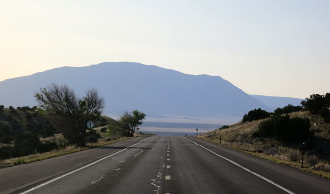
Raton, New Mexico is the first town you'll come to after crossing over Raton Pass on the Colorado border. The town you see today is here because of the Santa Fe Railroad many years ago. The only train traffic today is a daily Amtrak passenger train each direction; the freight traffic now takes a different route.
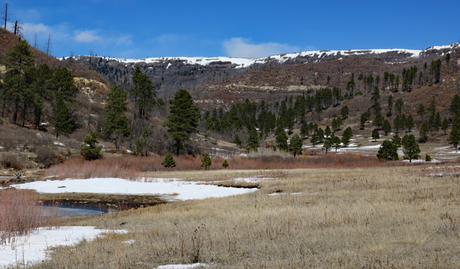
Maxwell National Wildlife Refuge. You are almost guaranteed to see interesting birds and animals, but don't expect to see any people.
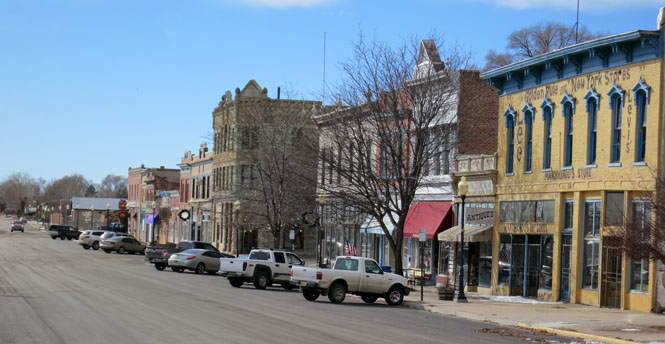
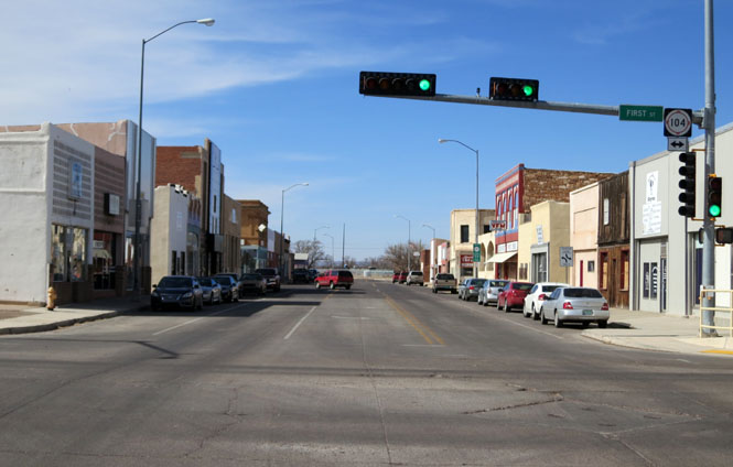
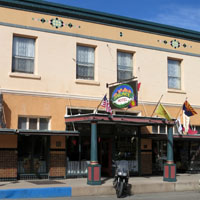
Las Vegas, New Mexico. This was once one of the larger cities in the entire southwest United States. It's not that, today, however, you can still see where the multiple tracks used to be (and even the old roundhouse still exists).
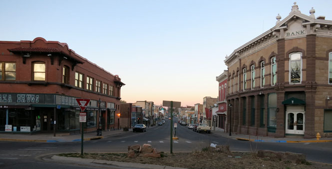
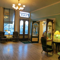
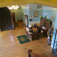
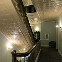
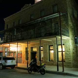
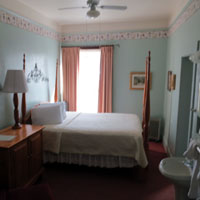
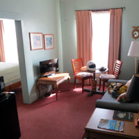
The Plaza Hotel (Las Vegas).
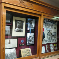
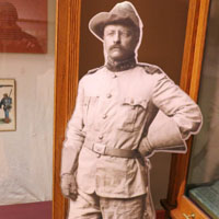
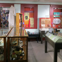
The Theodore Roosevelt Rough Rider Museum (Las Vegas).
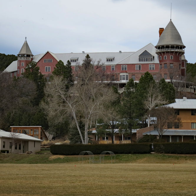
Montezuma Castle - This was once a grand Harvey House hotel serving a great number of daily passenger trains--and it wasn't even the only Harvey hotel in the city. Today, it's the United World College (Las Vegas).
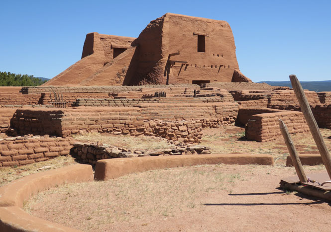
Pecos National Historical Park.
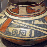
Cicuye Pueblo was here from around the 1300s. It was the Spanish who renamed it "Pecos" (along with the river).

Battle of Glorieta Pass National Historic Site.
While not a large battle (in comparison to what would come later) it was of tremendous importance to limiting any Confederate westward spread from Texas. That possibility stopped, here.
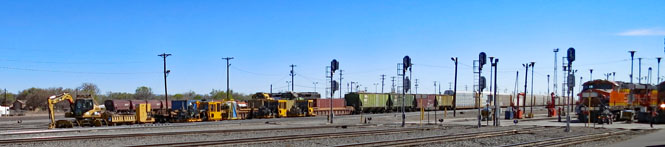
Belen, New Mexico now gets all the rail traffic that Las Vegas used to get. It took a fair amount of work to complete, but the pass over the mountains is much easier here than over Raton Pass.
Just a part of the extensive rail yards (Belen).
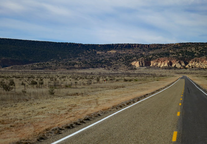
Cruise control is your friend, but pay attention. This freeway takes some unexpected turns as it crosses deep river canyons.
Truth or Consequences. They changed their name, but I'm not sure it made any difference.
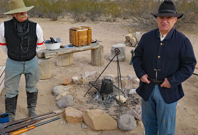
Fort Selden Historic Site. Fort Union was the main base, supplying many forts in the American Southwest, including Fort Selden. I've always found that reenactors are very knowledgeable about the time and place they're portraying.

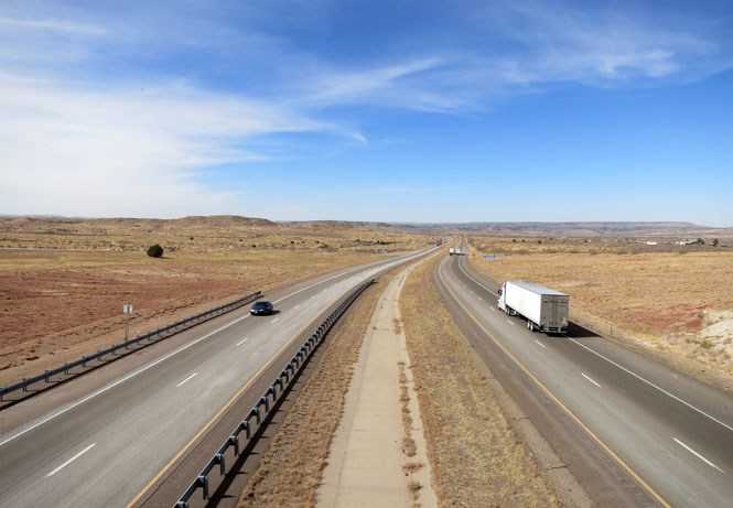
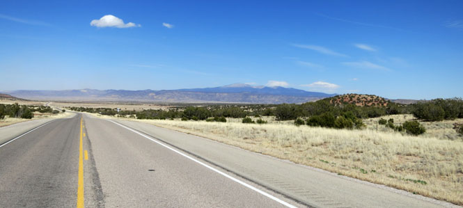
This freeway takes you all the way across the state--right through the middle. Albuquerque is the only place you need to really pay attention to which lane you're in--the rest is endless droning.
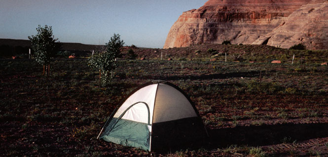
Camping on the Ariozona border. I'm not sure what's here now, but many years ago I think there was a weigh station here. In any event, it was very late and I needed a place to stop. I took this photo the next morning at sunrise.
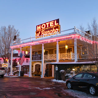
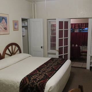
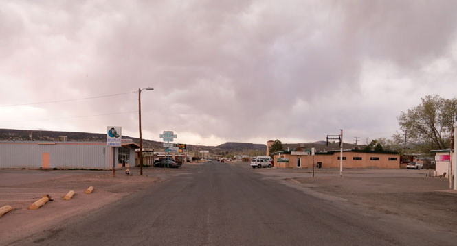
Gallup, New Mexico.
Staying the night the El Rancho Hotel; I've stopped here many times. Gallup had perhaps the very best Harvey House (designed by Mary Colter and it was her favorite), but--as happens--it was foolishly demolished.
Grants, New Mexico once prospered because of nearby Uranium mines. That's not the case, now.
The New Mexico Mining Museum (Grants).
Laguna Pueblo, New Mexico.
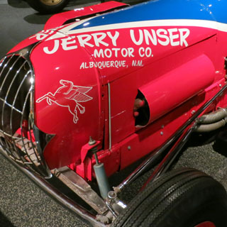
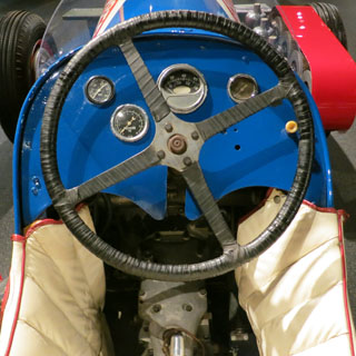
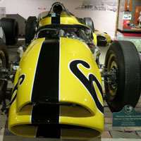
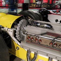
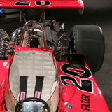
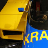
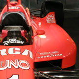
The Unser Racing Museum (Albuquerque) is just north of I-40. You might forget how important dirt track and Indy car racing used to be in this country. The Unser family was there for it all.

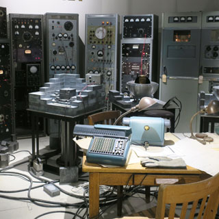
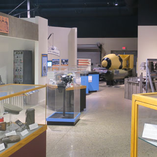
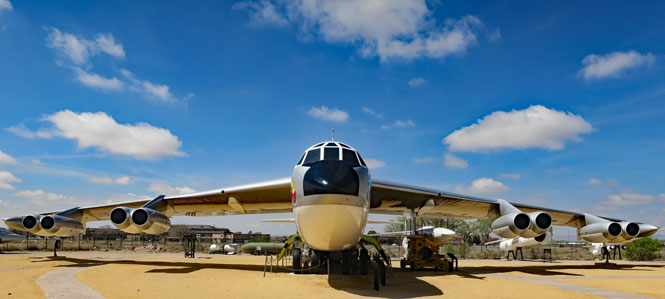
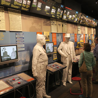
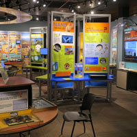
The National Museum of Nuclear Science and History (Albuquerque).
The museum has had a number of names; I think the problem is that they're not certain of their role. In summary: you'll get the history of nuclear warfare foremost, along with related information on power generation.

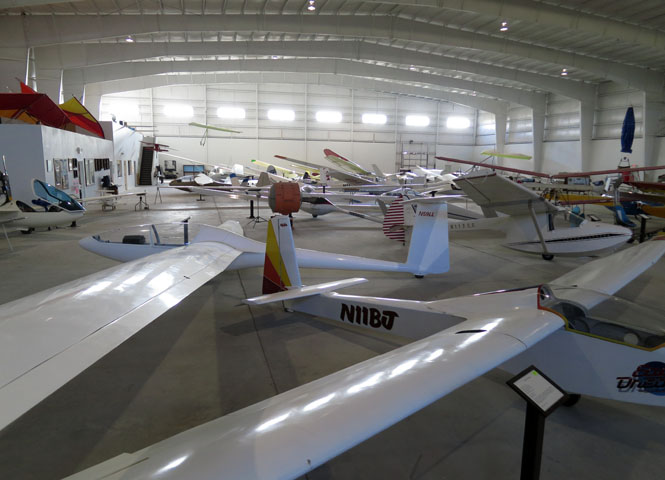
The Southwest Soaring Museum (Moriarty) is worth stopping for if you have any interest in things that fly. The volunteers are very helpful.
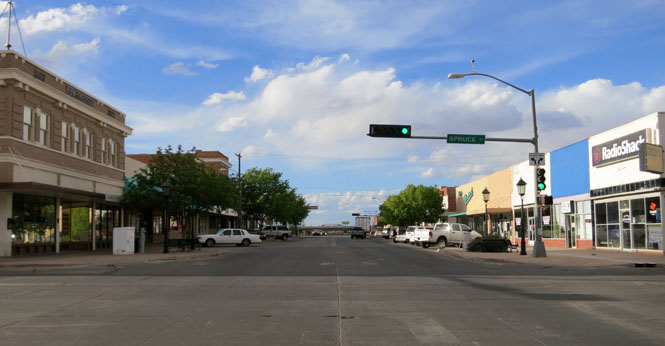
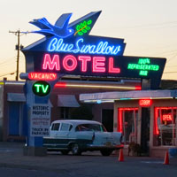
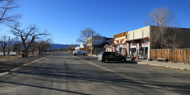
Santa Rosa, New Mexico.
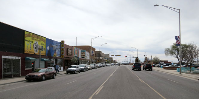
Tucumcari, New Mexico has three "main streets": 1) the first, based on the railroad, 2) the second, to support route-66 traffic, and 3) I-40 and the two interchanges supporting all the traffic that no longer cares about Tucumcari at all.

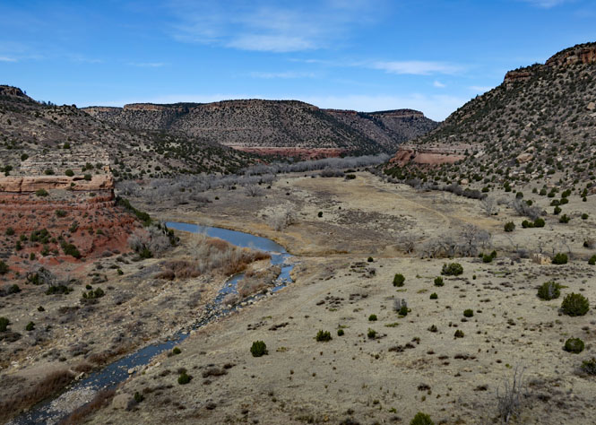
Villanueva State Park.
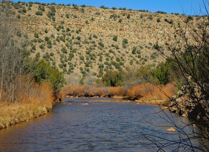
The Pecos River.
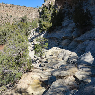
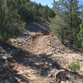
It's a beautiful area with nicely done trails.

Jemez Historic Site.
Long before the Spanish built a mission here (in the late 1500s) it was the location of the Gíusewa Pueblo. Today the site is maintained by New Mexico.
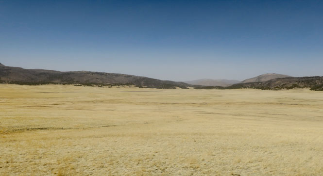
Valles Caldera National Preserve.
After what must have been a really, really loud explosion, this thirteen-mile wide caldera was created, along with hundreds of feet of volcanic debris that was spread over hundreds of miles. The last large eruption was 1.2 million years ago, but there have been later, smaller, volcanic events since then (the last about 50,000 years ago).
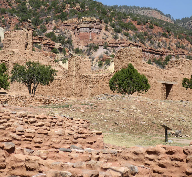
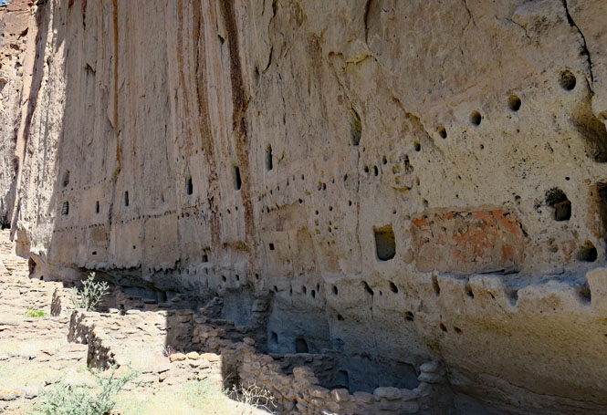
Bandelier National Monument. It meets all the needs for a safe and prosperous place to live.
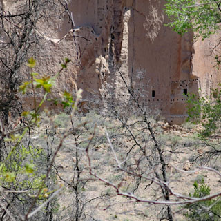
What you don't see are the timbers that formed part of the ancient buildings.

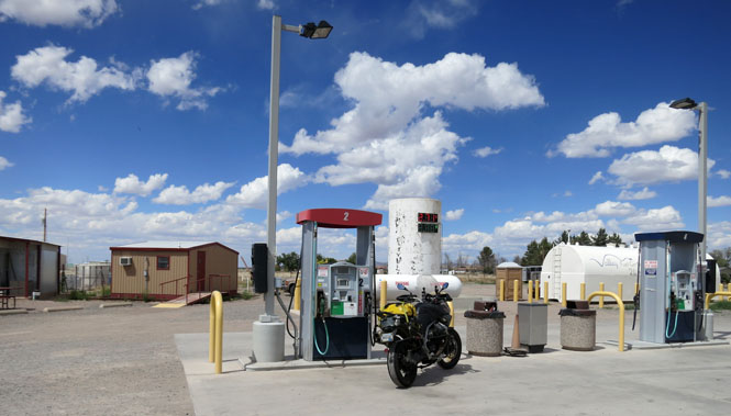
Animas, New Mexico. Around here, if you see working fuel pumps, top-up. We're running just north of the Mexico border.
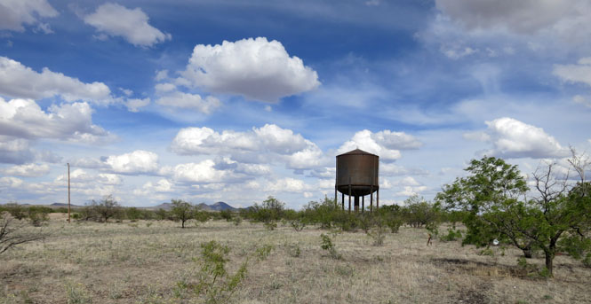
Hachita, New Mexico--another railroad town.
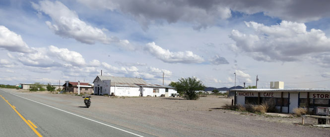
That large water tower (built for the steam engines that will never come again) will last for many more years.
Columbus, New Mexico. In 1916, Pancho Villa's army of 500 men (but not Pancho Villa himself) attacked this town. General Pershing was then ordered to pursue and capture Villa (which he never managed to do).

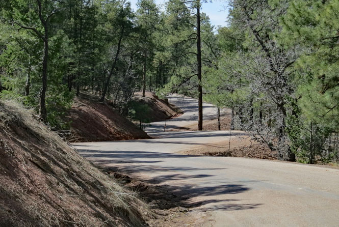
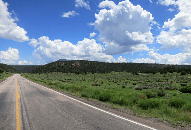
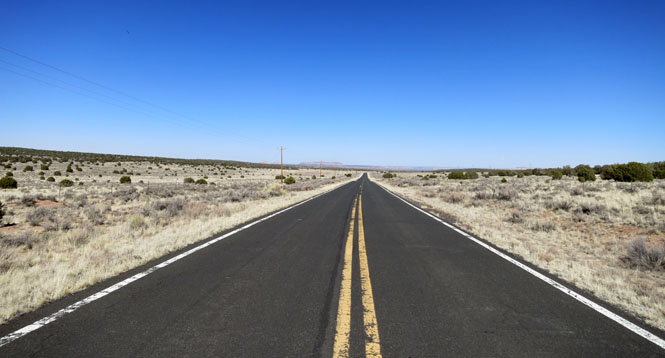
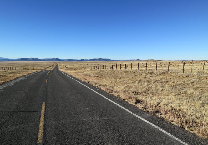
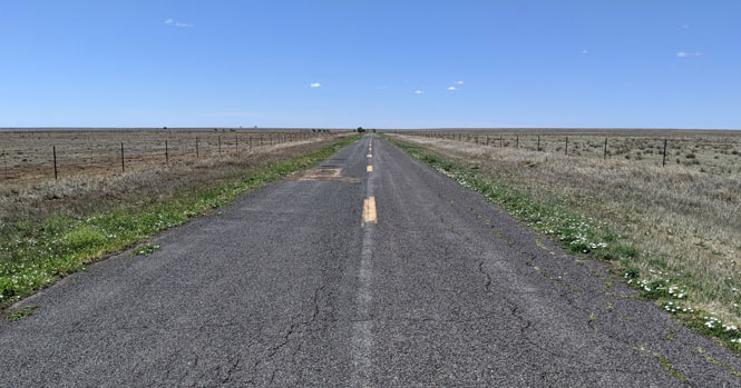
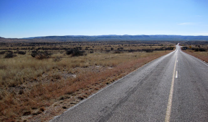
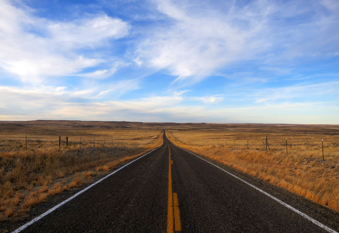
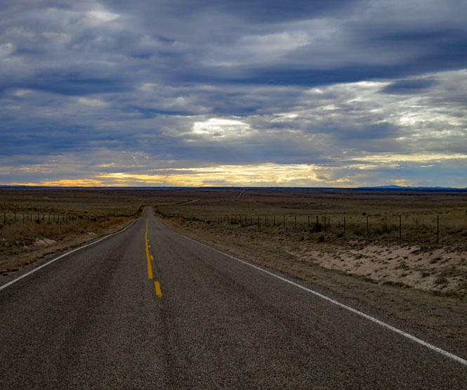
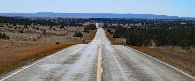
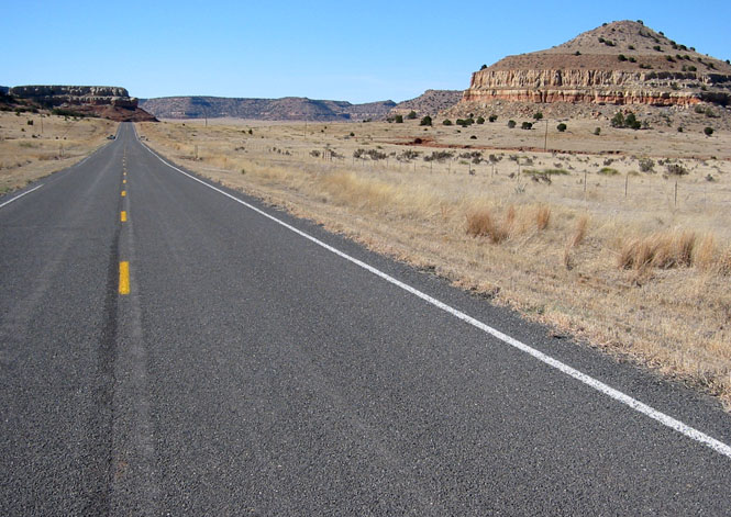
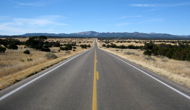
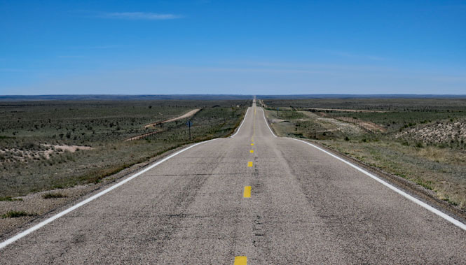
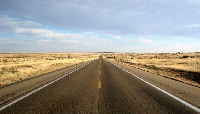
Like so many New Mexico highways, you've really got to have a reason to be here, or you're just looking for a nice road to ride.
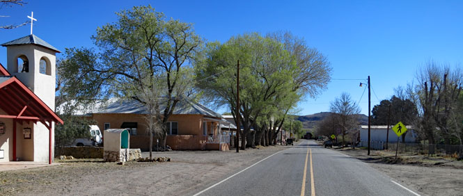
Aragon, New Mexico is just on the western side of the continental divide.
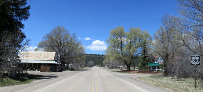
Reserve, New Mexico.

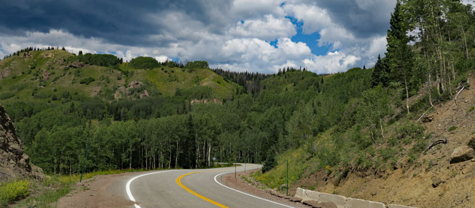
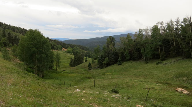
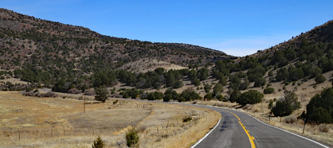
This is something of the longer, more scenic, tourism route between Santa Fe and Albuquerque.
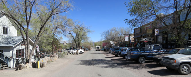
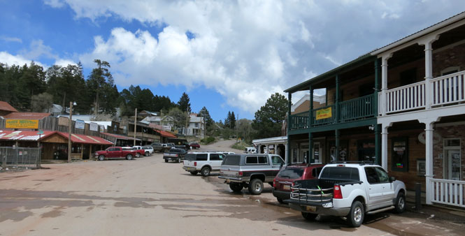
Madrid, New Mexico.

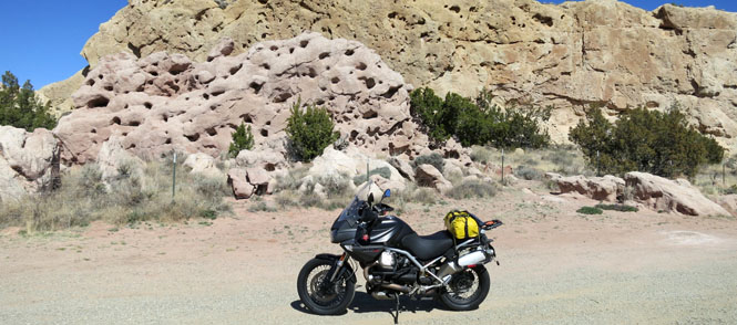
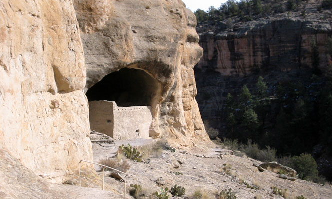
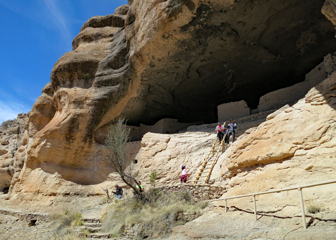
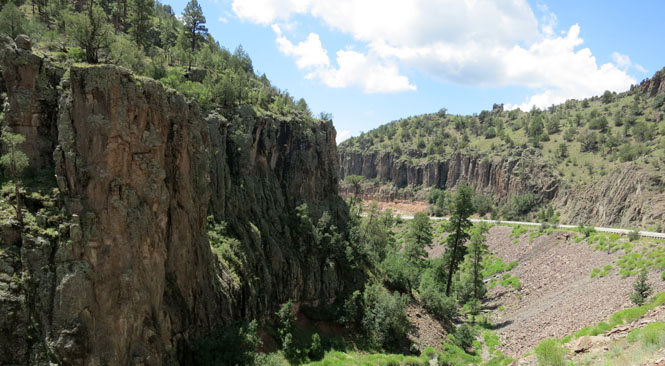
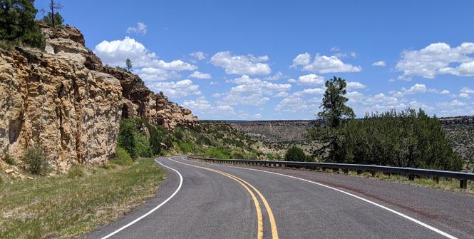
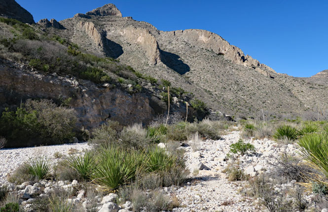
Gila Cliff Dwellings National Monument. You'll need to hike to get to the buildings, but it's easy enough to do and worth it.
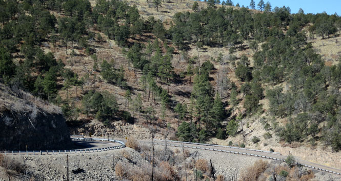
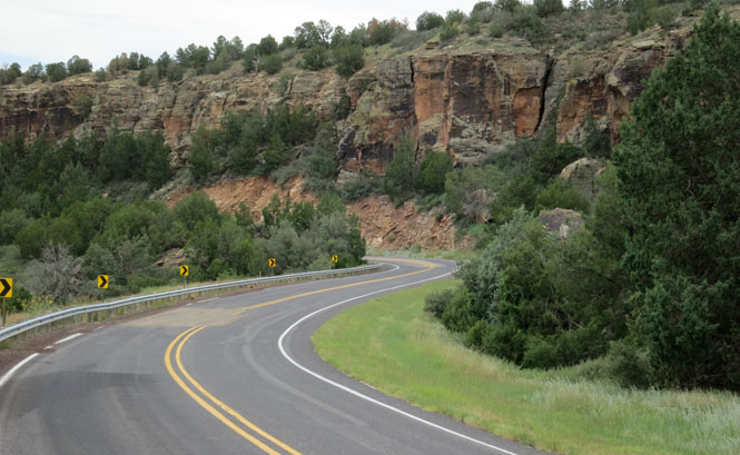
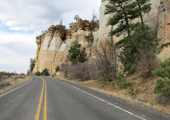
Beware; there is no shoulder on this road. This is the road to Silver City.

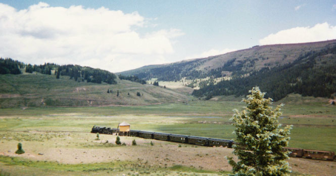
La Manga Pass, north of Chama.
The highway follows a portion of the route of the Antonito-to-Chama Railroad.

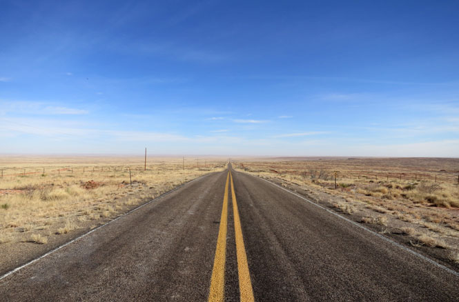
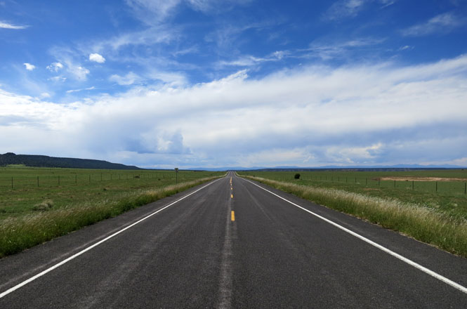
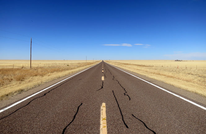
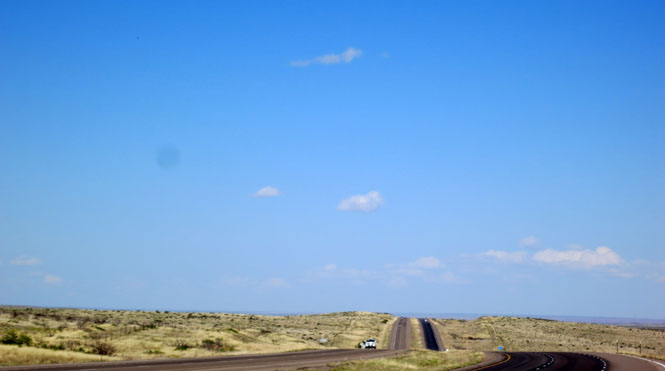
Long vistas with no traffic is what you need? Come here. We're between Roswell and Fort Sumenr.

A view of the "tooth of time" a landmark formation on the Santa Fe Trail. The trail would hug-the-hills because of water, not because it's a direct route. Consequently, this is a place where a major highway did not replace the Santa Fe Trail.

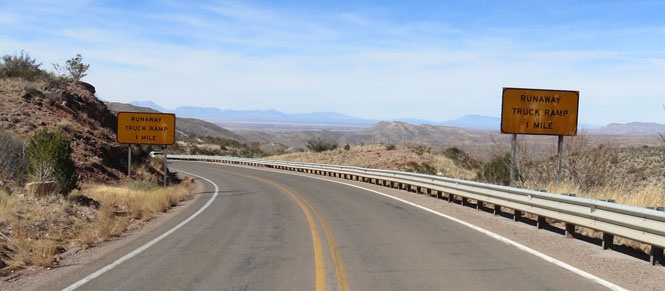
A side loop south of Cloudcroft.
Piñon, New Mexico.

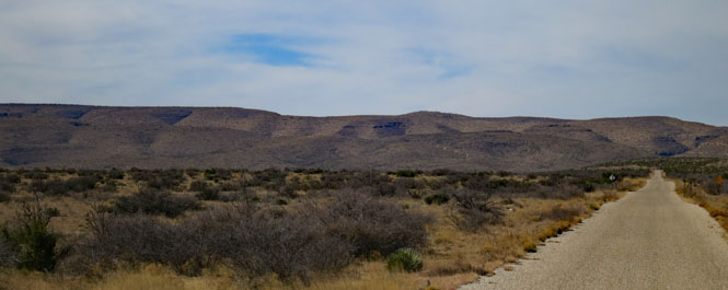
Quemado to Apache Creek.

This is one of the roads to the Gila Cliffs. Both routes seem designed to discourage large RVs.

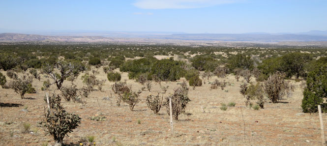
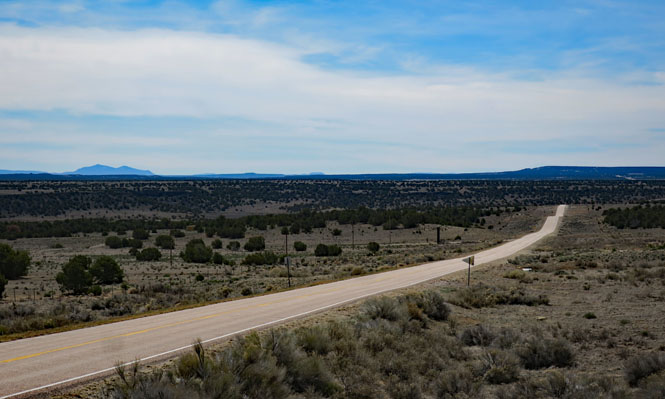
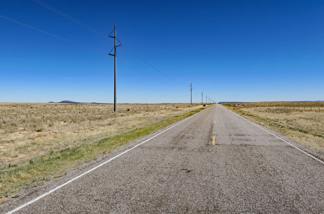
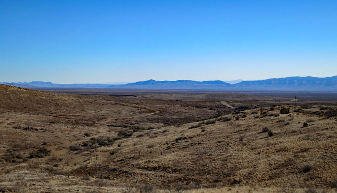
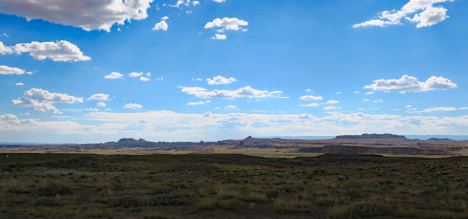
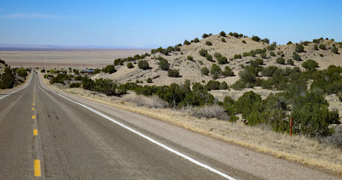
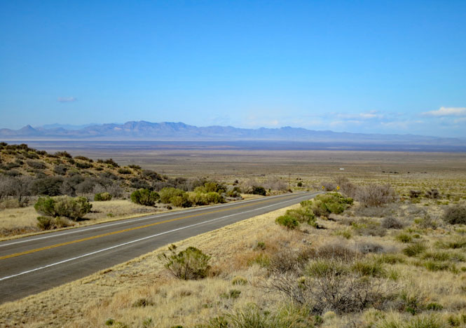
Northwest New Mexico is remote. Fill up when you can.
Fence Lake (no services).
North of Quemado.
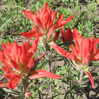
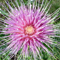
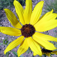
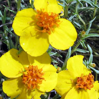
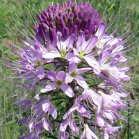
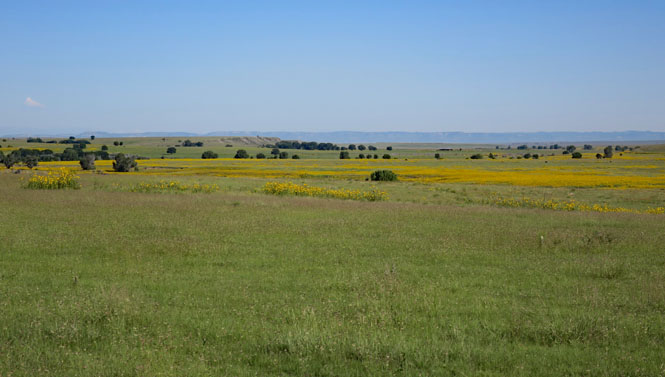
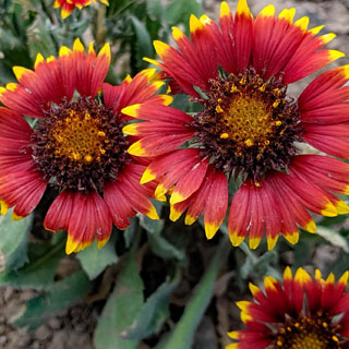
Don't expect fields of flowers, but if you look closer, you'll find them.


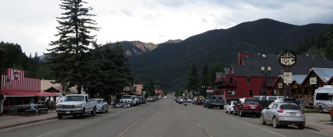
Red River, New Mexico. This is something of the back route to Taos, but it isn't empty of tourists, and in season you'll be in stop-and-go traffic just to get through it.

South of Abbott. People have tried both crops and sheep in eastern New Mexico. Not much works.
Mills, New Mexico.
Kiowa National Grasslands. The dirt road leads to Mills Canyon.

Descending into Mills Canyon.

Mills Canyon (Canadian River). The stage line once followed this river, you can just barely see the old road on the right.
Roy, New Mexico.
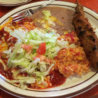
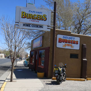
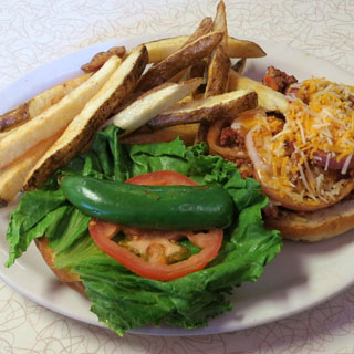
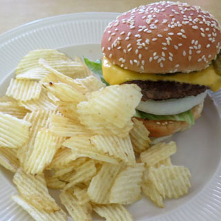
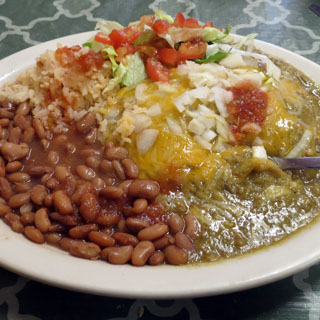
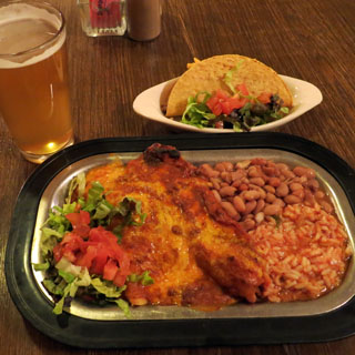
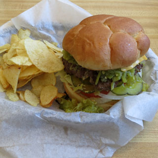
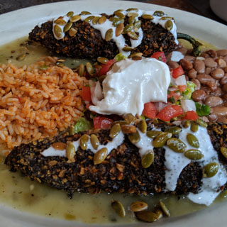
A green Chili cheese burger is the state food; order it often.
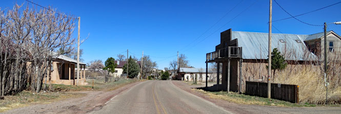
Mosquero, New Mexico. This remote town is the county seat.
The road up Carpenter Mesa.

This is your best (and only) route between Corona and Willard.
Cedarvale, New Mexico.

Near the Arizona Border (Zuni Nation).
Zuni, New Mexico. The (far more interesting) part of this ancient town had a notice prohibiting both photography and outsider traffic, so here's a less interesting shot.
Ramah, New Mexico was established as an extended settlement from Utah Mormon pioneers.
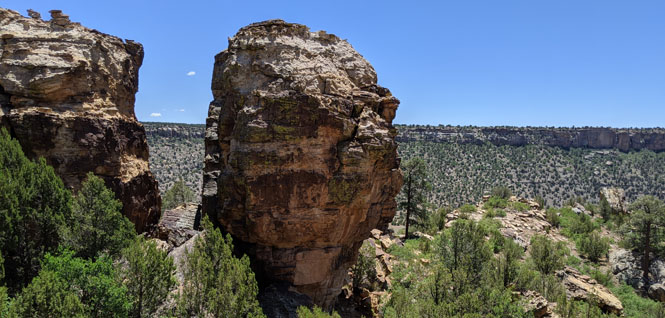
El Morrow National Monument has a year-round source of water, so it's a certainty that it has been part of a trail system for thousands of years.
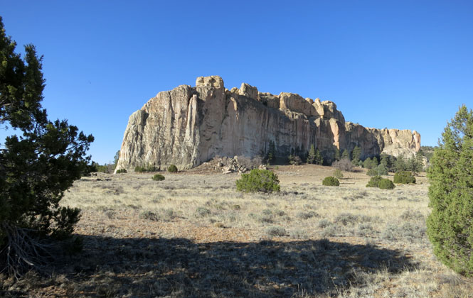
The ruins of ancient (somewhat restored) structures on top is not expected.
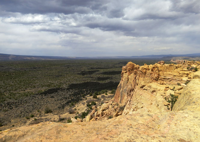
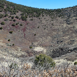
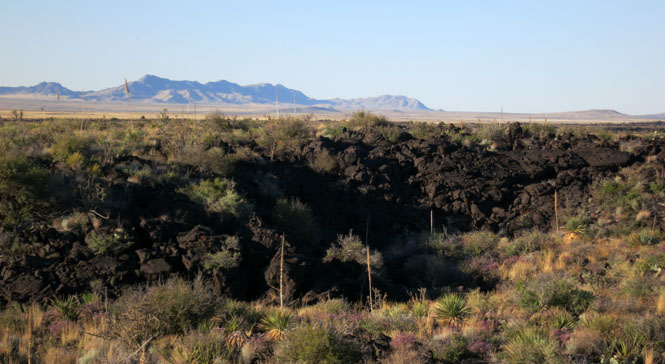
El Malpais National Monument (the western side). Lava burped out of the ground.
Nearing Grants.

Torreon, New Mexico.
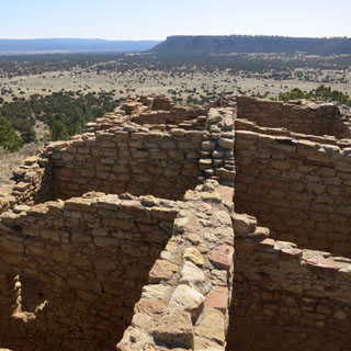
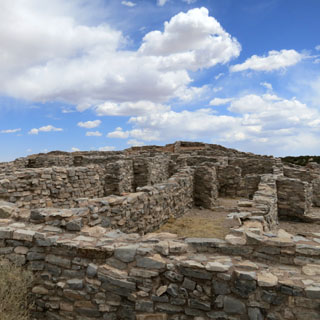
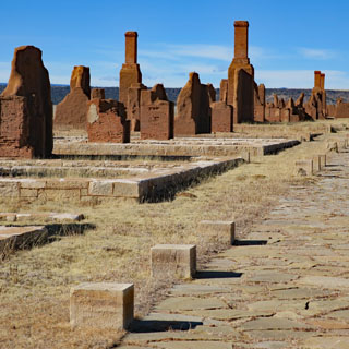
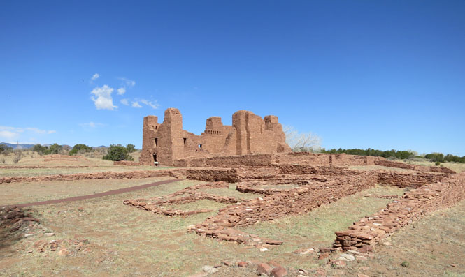
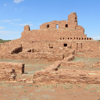
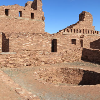
Gran Quivira Ruins. People lived here long before the Spanish came, but that event changed everything, forever. They revolted and recovered their land and religion, but it did not last.

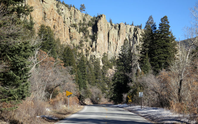
Between Cimarron and I-25 is this shortcut; not many seem to use it.

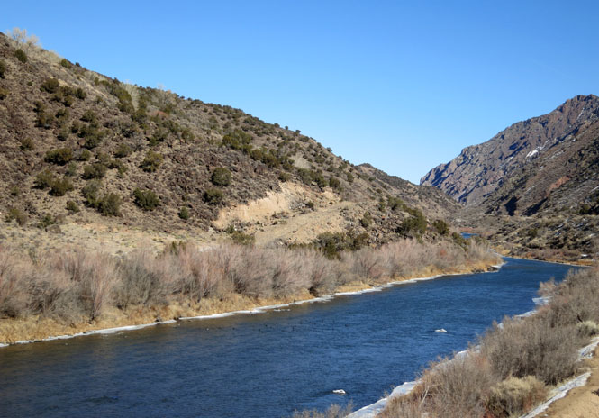
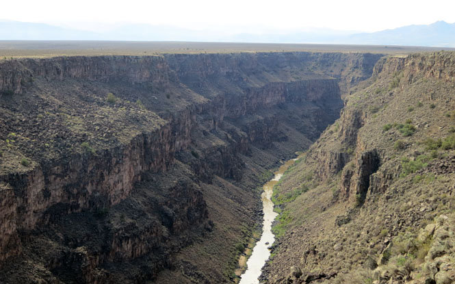
Between Santa Fe and Taos along the Rio Grande.

The Chiricahua Desert Museum. Why is this museum here, miles and miles from anything? It's a good one.

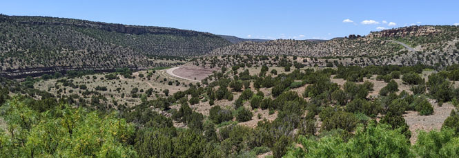
The road that takes you to Cuba.

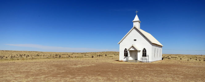
Bueyeros, New Mexico. A church is the first building for a new settlement, and often is the last building to decay away. This town started before any of this was part of the United States.

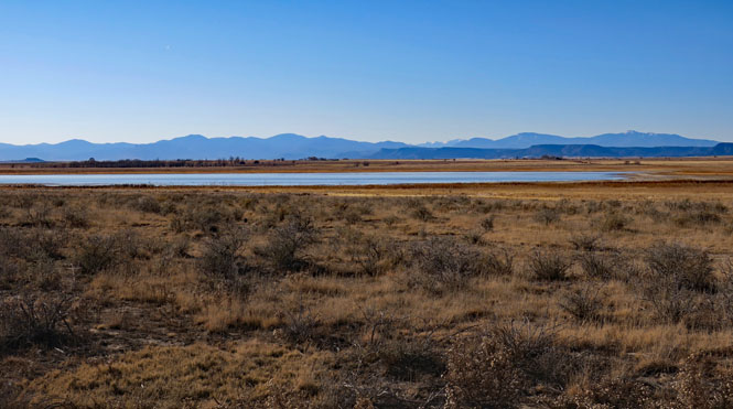
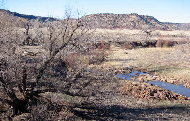
Las Vegas National Wildlife Refuge. The earliest pioneer settlers did try to establish farms, but they didn't really know what they were up against. It's a harsh area.
East of Las Vegas.
The Trujillo Mesa. You don't expect this.
Variadero, New Mexico.
North of Tucumcari.

El Malpais National Monument (the eastern side). You can walk across that large lava field, but you might also step in a lave blow-hole and break your ankle. It's deceptive ground
South of Grants, New Mexico.

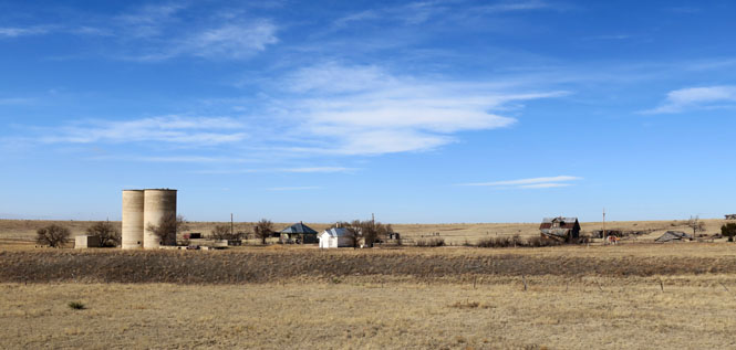
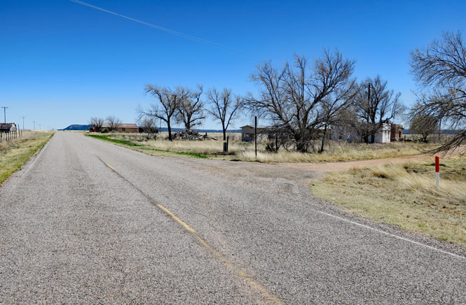
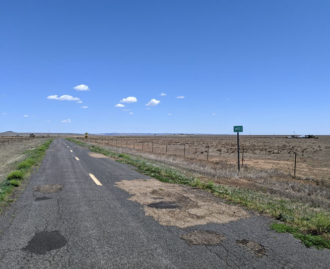
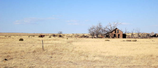
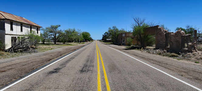
Near the missing town of Yates. Maps are not always updated when a town vanishes.
Yates. This is it.
Crossing the Canadian River the easy way. Think about doing this crossing with cattle and without the bridge.
Ocate, New Mexico.
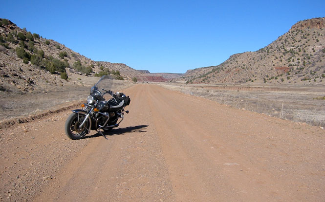
East of Ocate, the pavement ends (but it still remains NM-120). Keep going, eventually you'll reach more pavement.

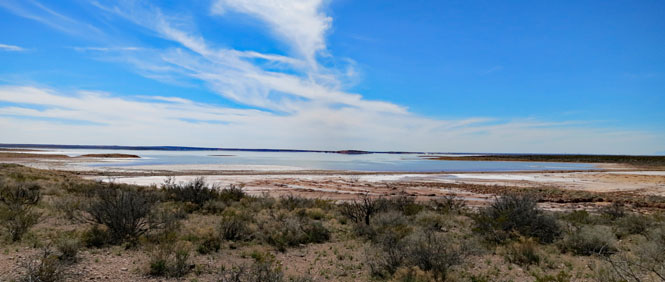
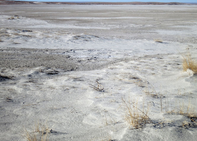
Salt Lake.
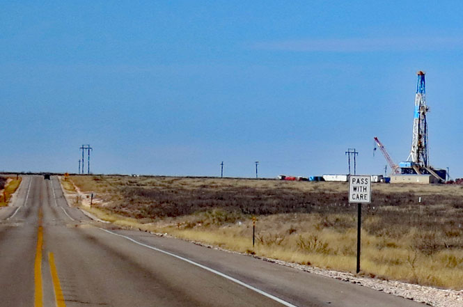
Drilling equipment, but don't expect to find any fuel in the southeast corner of New Mexico.
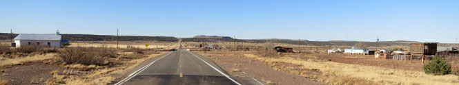
Jal, New Mexico. It's mostly an empty town in the very corner of the state.

West of Carlsbad.
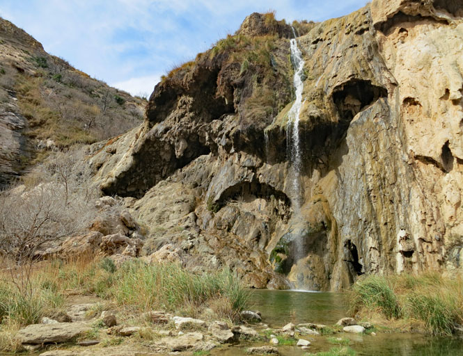
Sitting Bull Falls. I think there is always water flowing, even if not much (the location has nothing to do with the Lakota leader).

A possible way to Gila Cliffs.
Hillsboro, New Mexico.

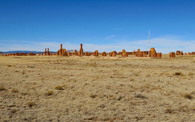
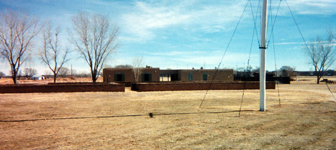
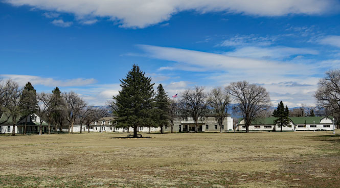
Fort Union. The eventual goal for the Confederates who fought at the battle of Glorietta Pass was to gain control of this fort. They never reached it. At one time, this place had hundreds of wagons every day passing through. It was the army's central supply hub for a vast area of the country.

Mostly Navajo, but also others.
Torreon Wash.

Dora, New Mexico.
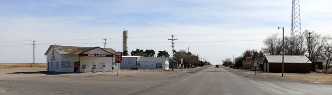
Pep, New Mexico.
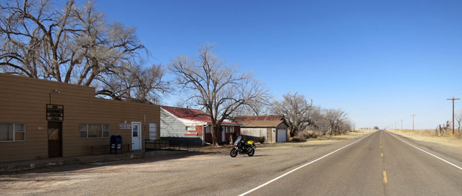
Tatum, New Mexico.

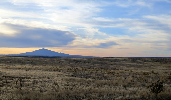
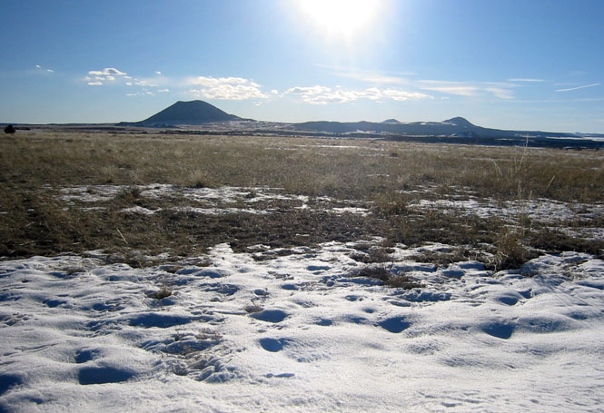
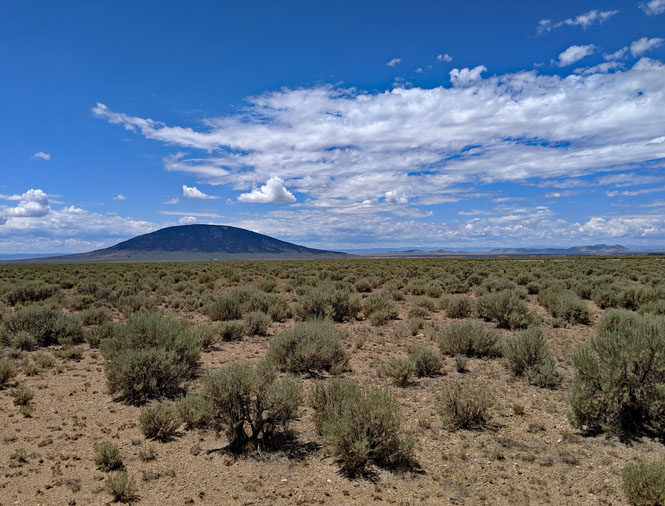
Sunset Peak.

The Capitan Mountains.

Folsom, New Mexico.
Mt. Capulin.
Capulin Volcano National Monument.
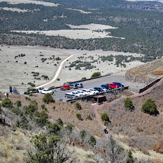
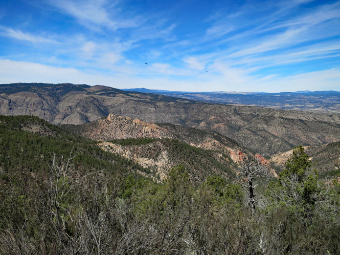
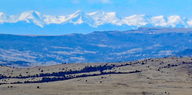
The westward view of the Rocky Mountains from Mount Capulin.

Runing down the east side of the Rocky Mountains.

Between Farmington and the Chaco River to the south.

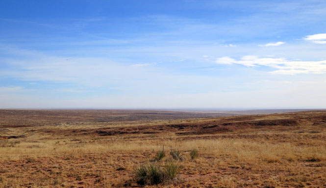
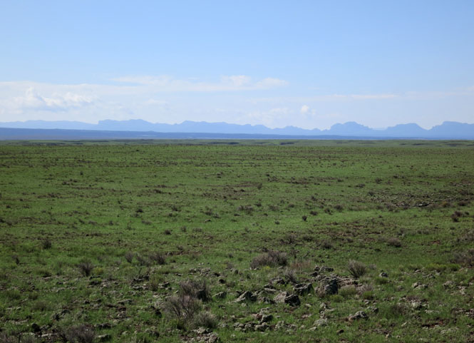
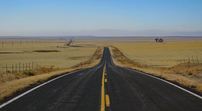
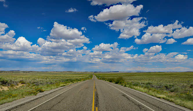
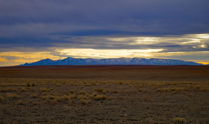
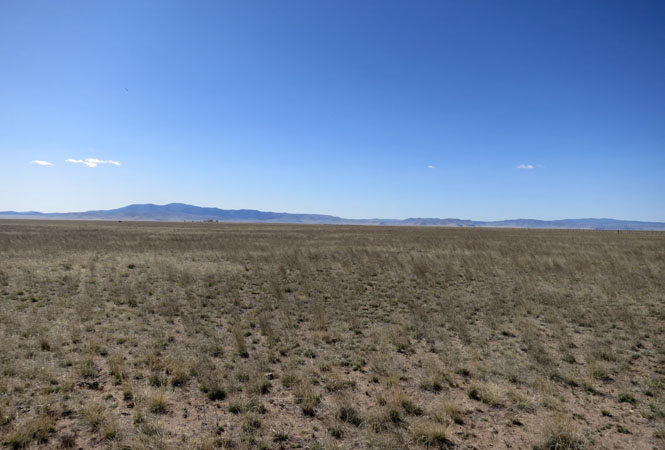
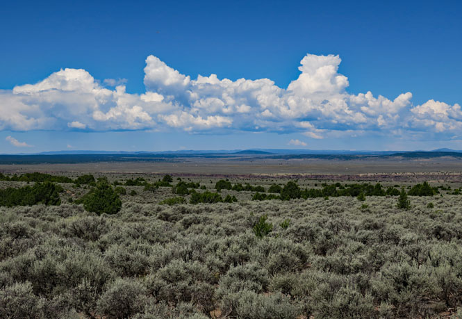
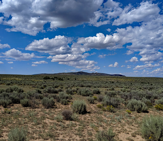
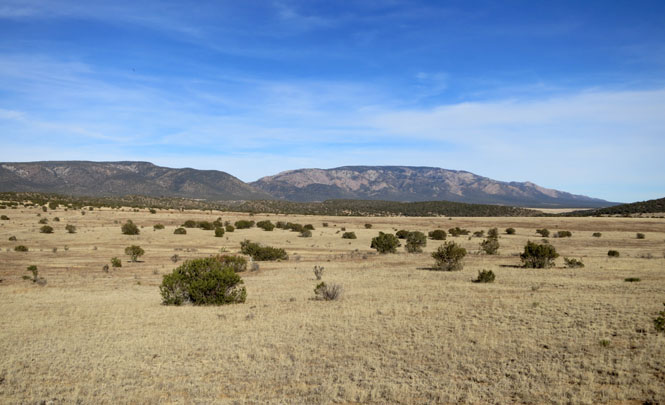
The eastern plains.
Amistad, New Mexico.

Rabbit Ears Mountains, another important marker for the Santa Fe Trail. You can see it for 40 miles; point your wagon towards it.
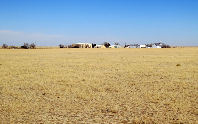
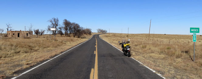
Moses, New Mexico.

These days, Angel Fire is mostly condominiums for the ski resorts.

West of Kenton, Oklahoma. Why is such a nice road always empty? Because it stops...
...or rather, the pavement stops. For 17 miles. There are at least modern concrete bridges at the water crossings.
The headwaters of the Cimarron River.

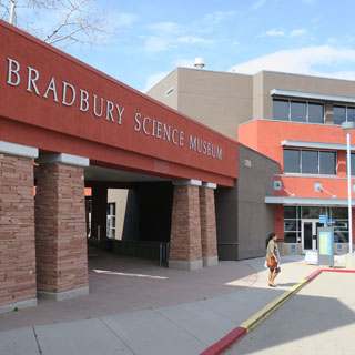
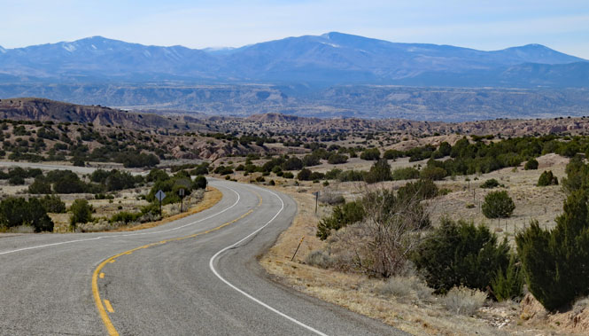
Los Alamos, New Mexico
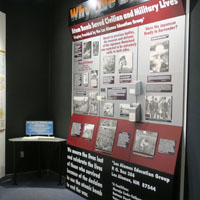
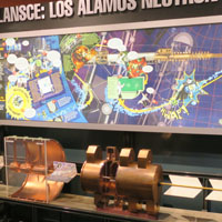
The Bradbury Science Museum (Los Alamos). This is a far more comprehensive museum of nuclear things than the museum in Albuquerque. But, the Albuquerque museum does a better job of presenting the delivery systems (airplanes, missiles). If you're interested in how the Manhatten Project really came together, this is the best place.

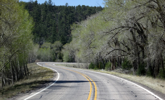
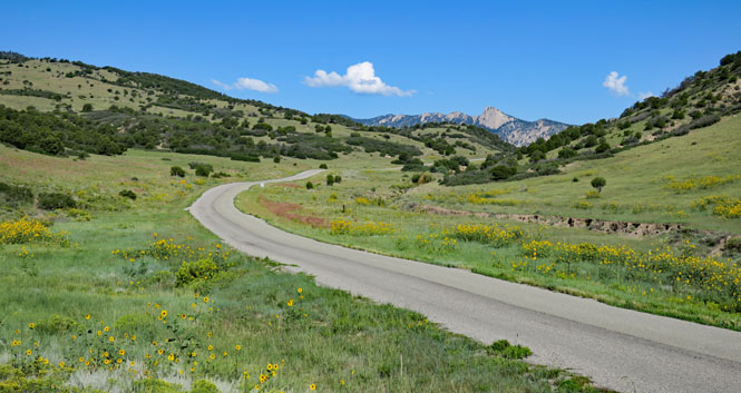
The high road to Taos from Santa Fe.

North of Grants.

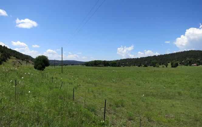
Mora, New Mexico.

Ute Mountain.
Rio Grande del Norte National Monument.

Sugarite Canyon State Park includes the remains of a coal mine that supplied coal for the railroads.


Quarai Ruins. These were thriving places, but the clash of cultures was just too great.

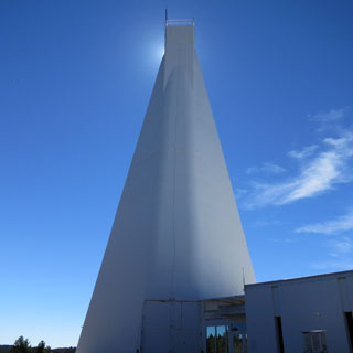
The number is meaningful. Solar scientists having their fun...
The National Solar Observatory.

Nara Vista, near the Texas border.
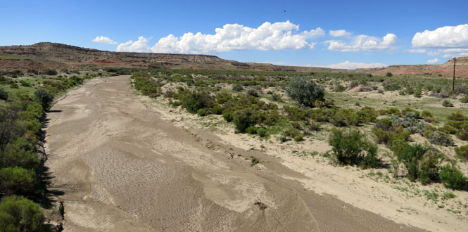
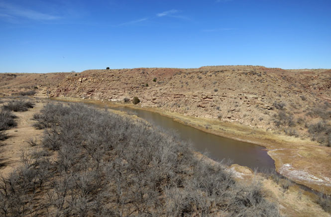
The Canadian River.
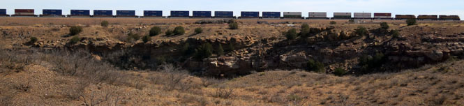
A Union Pacific freight-train, south of Logan.
North of the Vaughn crossroads.
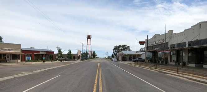
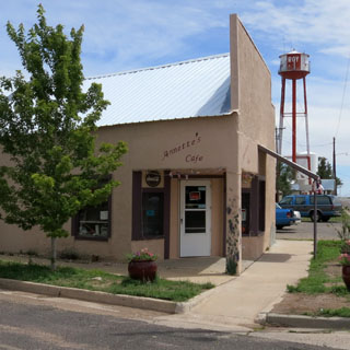
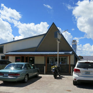
Corona, New Mexico is always worth stopping for if it's near lunchtime.
South of Corona, New Mexico. Incidentally, the posted speed limits on this miles-long stretch are baffling: between 45 mph and 65 mph without any apparent reason (apart from revenue, of course).
Looking south towards Carrizozo.
Carrizozo, New Mexico.
McGinn Pistachio Tree Ranch. It's not a tourist trap. It's all good things, and a very good place for pistachio ice-cream. I generally stop.

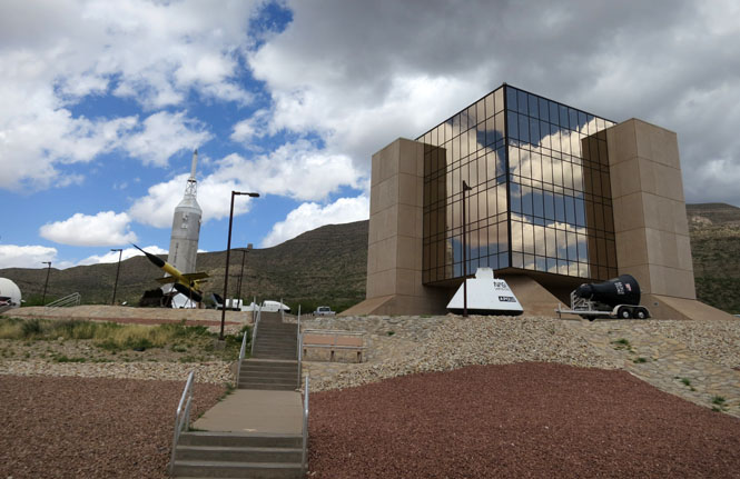
Alamogordo, New Mexico.
The International Space Hall of Fame in Alamogordo is especially worthwhile.
The Oliver Lee Memorial State Park.

This is somewhat the route of the Santa Fe Trail.
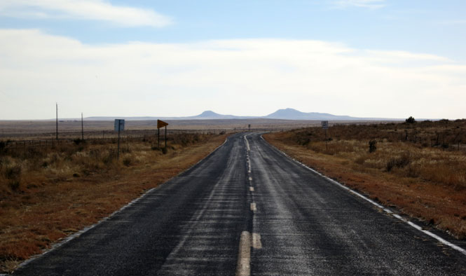
West of Clayton.
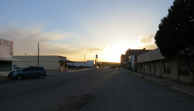
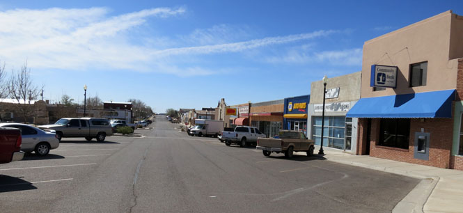
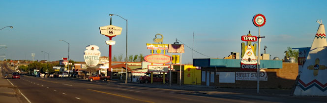
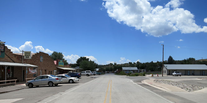
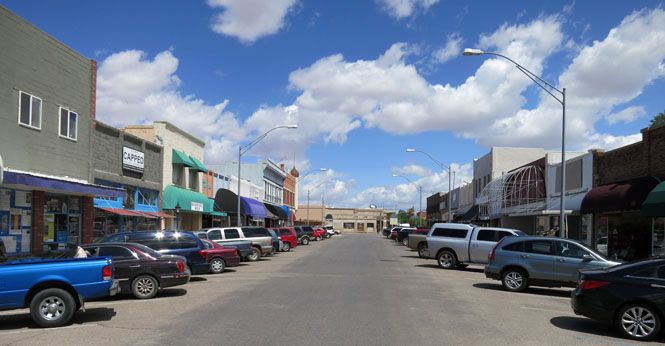
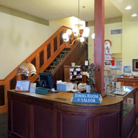
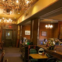
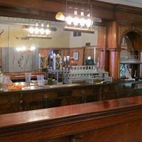
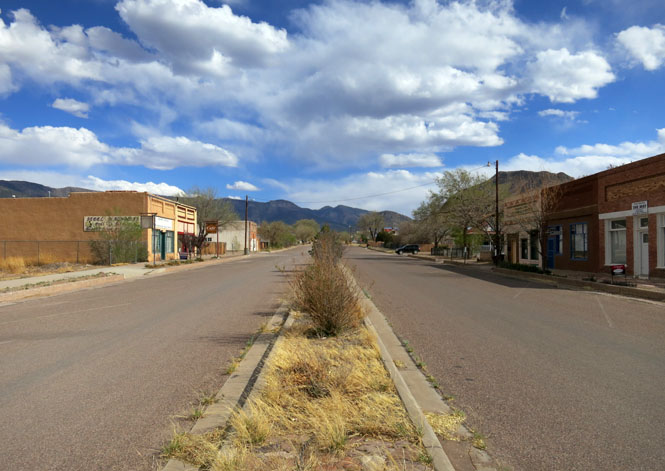
Clayton, New Mexico.
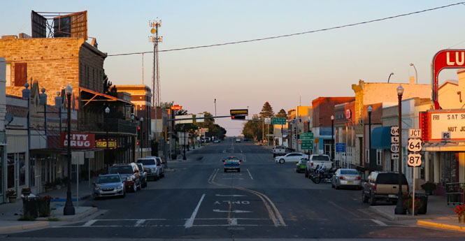
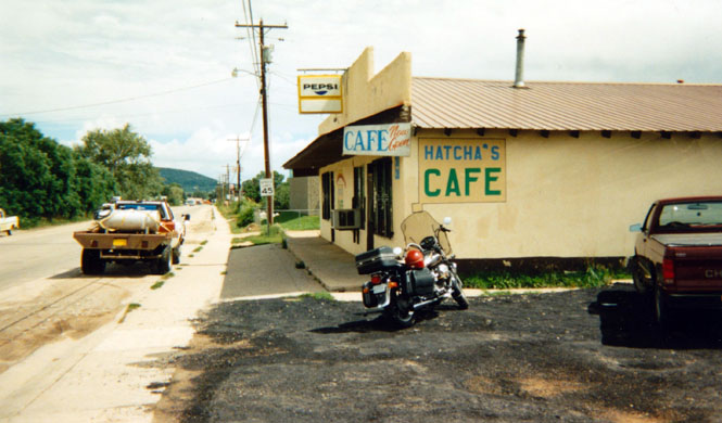
I don't know how many nights I've spent at the old Eklund Hotel. Quite a few, and I also always eat at the attached saloon.

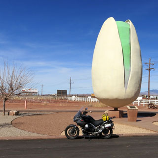
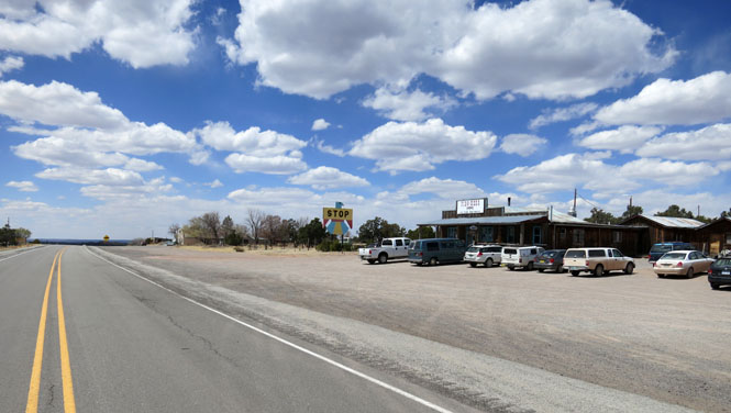
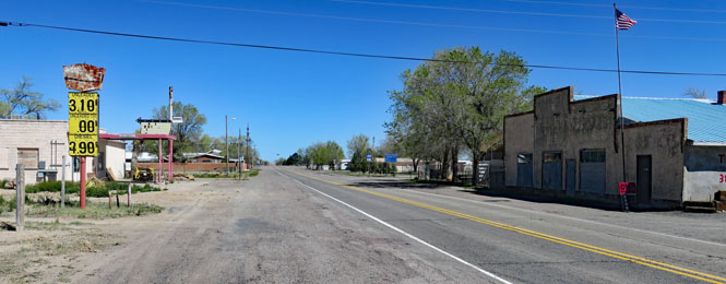
Quemado, New Mexico.
Green chili cheeseburger; don't forget.
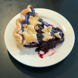
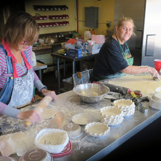
Pie Town, New Mexico.
They make all sorts; just grab one, it'll be good. You'll find two places in town that sell pies. Don't worry about it; they're both owned by the same outfit.
The Mangas Mountains.
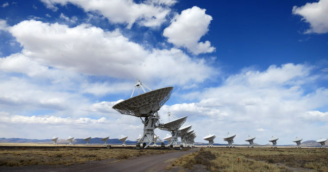
National VLA observatory. The nearby museum is very good and will explain everything.
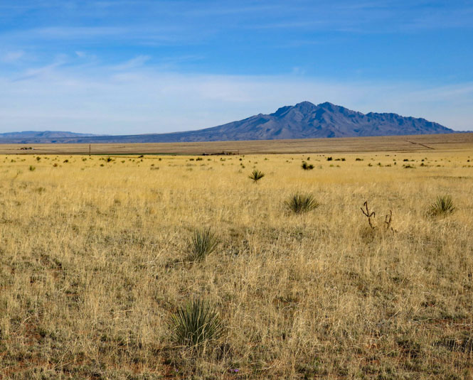
Magdalena, New Mexico.
Socorro Peak.
Socorro, New Mexico.
The climb from the broad Rio Grande Valley.
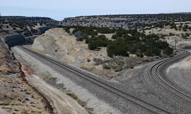
Abo Canyon is where the trains go these days. And, lots of them. Double-tracking through this narow canyon was a major achievement.
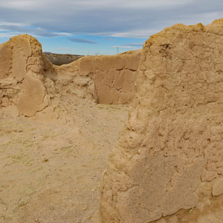
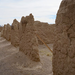
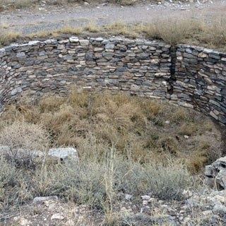
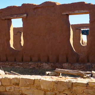
Abo Ruins.
Willard, New Mexico.
West of Vaughn, New Mexico.
Fort Sumner, New Mexico,
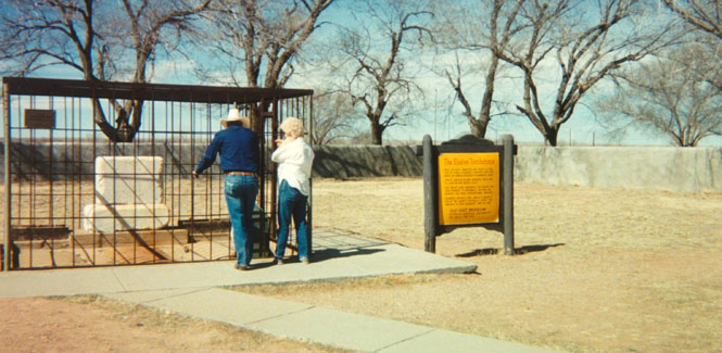
Billy the Kid's grave. Evidently, people have tried to steal the marker.
Bosque Redondo Memorial and Fort Sumner Monument. I'd advise people to stop here; not any of the Billy places in town.
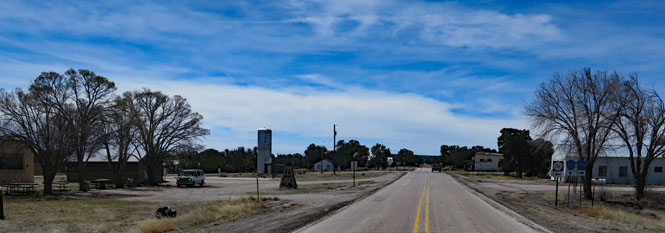
Yeso, New Mexico. Nobody lives here.
Texico, New Mexico.

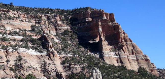
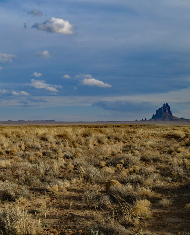
Shiprock (Tsé Bitʼaʼí) rising nearly 1,600 feet above the desert floor.
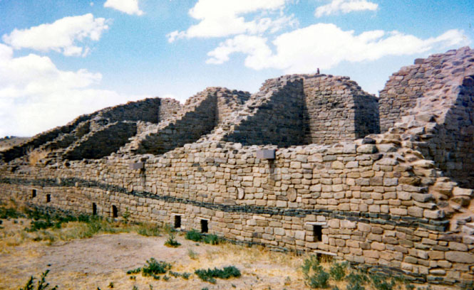
Abandoned Pueblo Indian structures (Aztec Ruins National Monument) near Farmington, New Mexico.
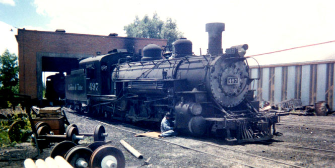
Chama, New Mexico.
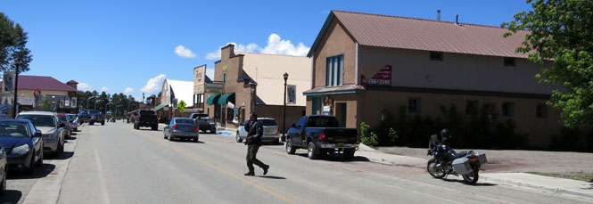
The maintenance yard for the railroad.
Crossing the Rio Grande on the high bridge.

Taos, New Mexico.
There are only two places I'd recommend staying in Taos: the Taos Inn is one (Hotel La Fonda is the other).
East of Taos.
Eagle Nest Lake.
Palisades Sill.
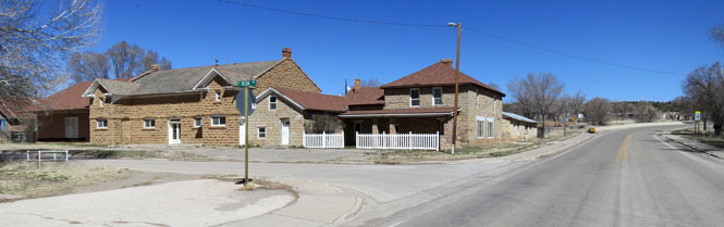
Cimarron, New Mexico.

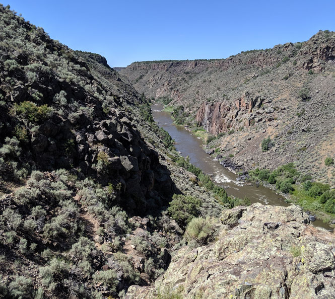
The Rio Grande valley southwest of Taos. Look close, and you'll see the river canyon in the center of the photograph. There aren't many bridges over that river.
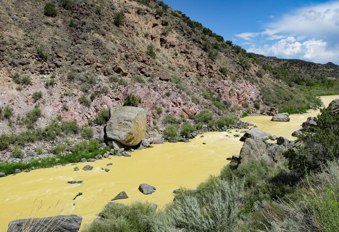
The Rio Grande is running yellow, today.

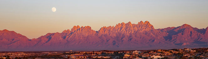
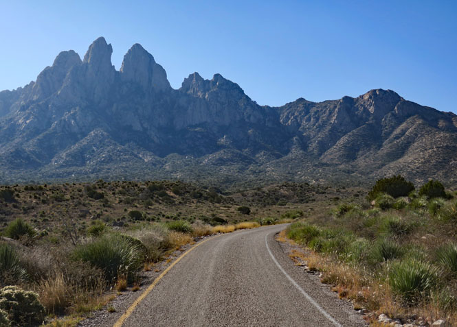
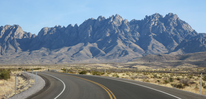
Organ Mountains National Monument, West Side.
The view from Las Cruces. I've been to this monument several times, it's a favorite place.
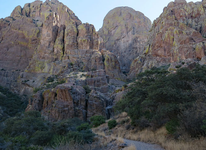
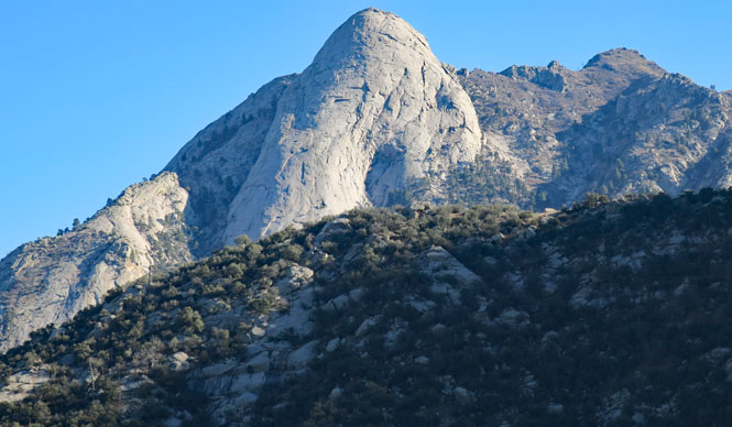
Organ Mountains National Monument, East side
The Needles
Crossing over the Caballo Mountains with a view of the White Sands Missile Range.
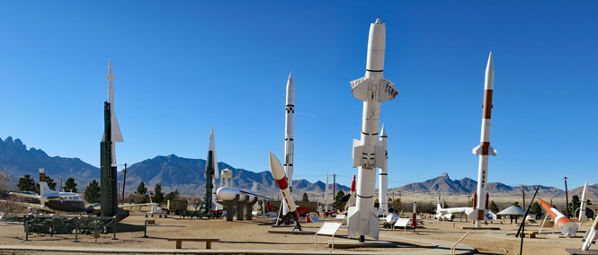
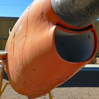
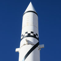
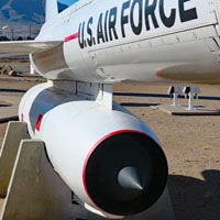
White Sands Missile Range Museum. You'll need to fill out some forms and have them do an I.D. check on you, but the museum is very good.
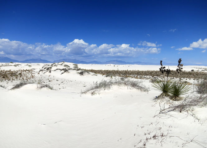
White Sands National Monument. It's not your normal beach sand.
Ruidoso, New Mexico.
Dropping into the great plains. After this, it's mostly a gentle grade to the Mississippi River.
Portales, New Mexico.

Grulla National Wildlife Refuge. Birds like it.

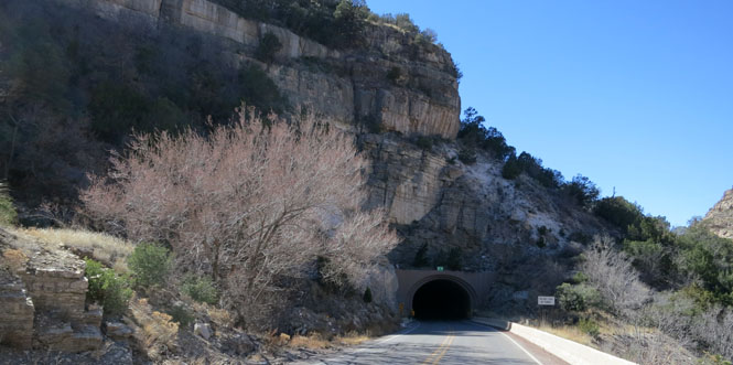
There aren't many tunnels in New Mexico, here's one.
Cloudcroft, New Mexico is high in the Sacramento Mountains.
Hope, New Mexico.
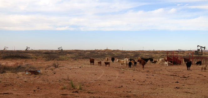
Cattle and oil.

Just south of the Colorado line.
North of Fort Sumner.
Clovis, New Mexico.

It's a very long coast from here.

There is very little of US-160 in New Mexico, but it does just catch a bit of the state as it passes by the southeast edge of Four-Corners. This photo was taken in 1982; things have changed.

Luna, New Mexico, near the Arizona border.
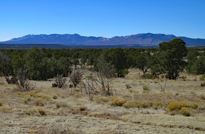
The San Francisco Mountains.
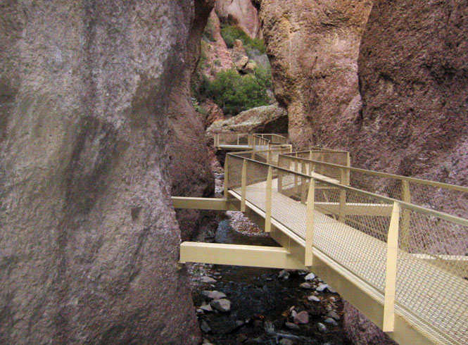
Glenwood, New Mexico --The Catwalk Trail. Recent floods may have taken much of this out.
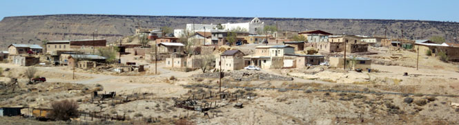
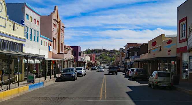
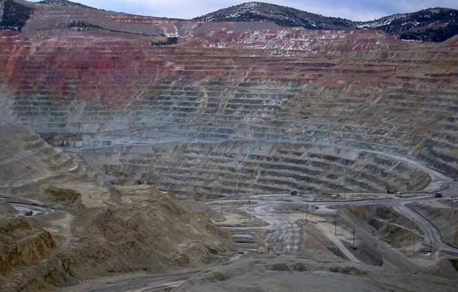
Silver City.
The Palace Hotel (Silver City). It's old and it's interesting.
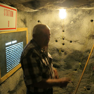
Silver City Copper Mine
Carlsbad Caverns National Park.
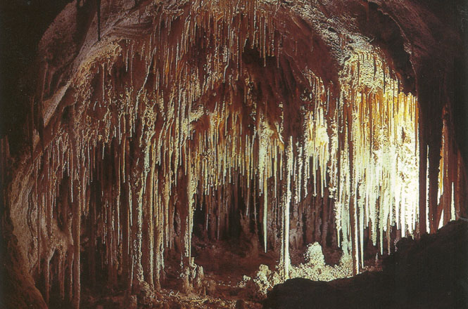
There's much more than just the caverns (which is virtually the only place everybody visits).

San Antonio Mountain, not far south of the Colorado border.
Cerro Mountain.
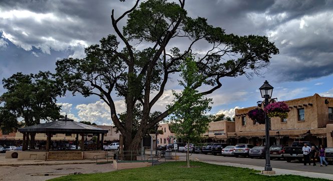
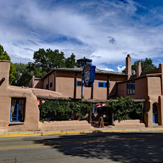
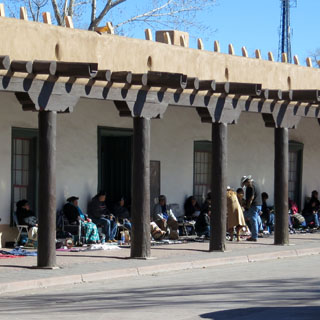
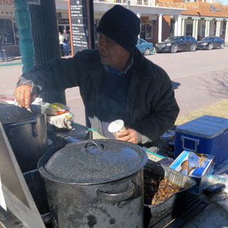
Santa Fe, New Mexico. You'll always find street vendors, here. I've never been disappointed.
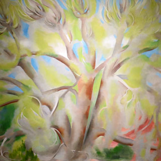
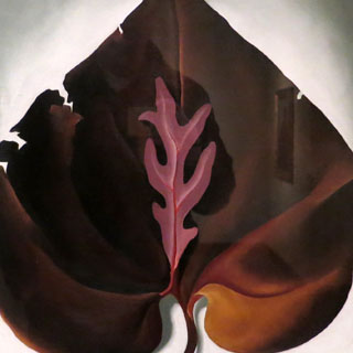
Georgia O'Keefe art in Santa Fe. There are several museums within easy walking of the plaza.
North of Carlsbad.

Trinity Site is not too far to the south of here. Annual tours are given; I've never been.
The Oscura Mountains.
Crossing the Jornada del Muerto (route of the dead man) west of Carrizozo. Large lava fields would make this an especially difficult valley to cross on foot (and that name wouldn't give you much hope of success).
Between Capitan and Lincoln.
Capitan, New Mexico.
The Capitan Mountains.
Fort Stanton Historic Site.
The fort was first established as part of the campaign to suppress the Mescalero Apaches, but has had a number of different roles since then, which largely accounts for how it has managed to remain (mostly) intact to this day.
Lincoln, New Mexico.
Roswell, New Mexico.
The Museum and Art Center (Roswell).
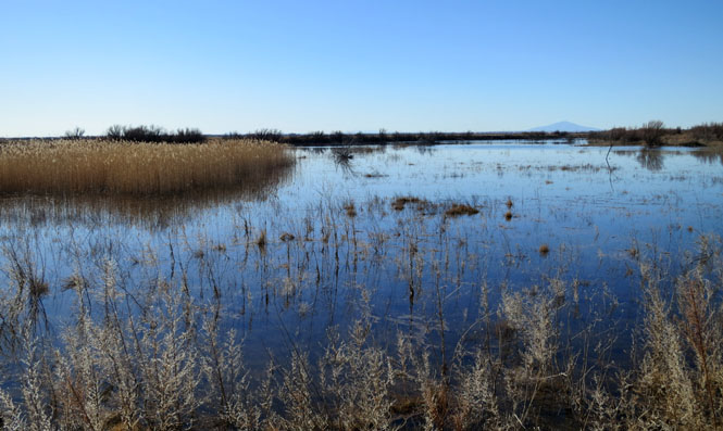
Bitter Lake National Wildlife Refuge.

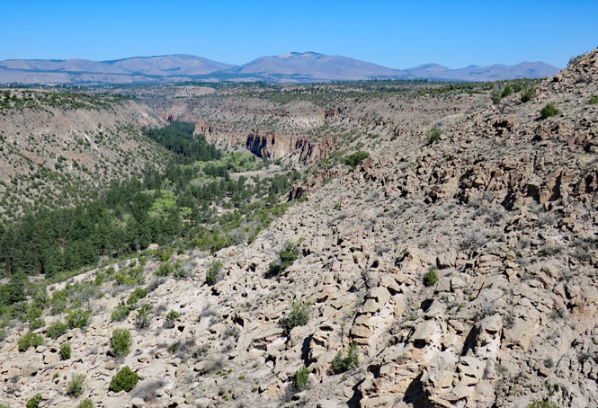
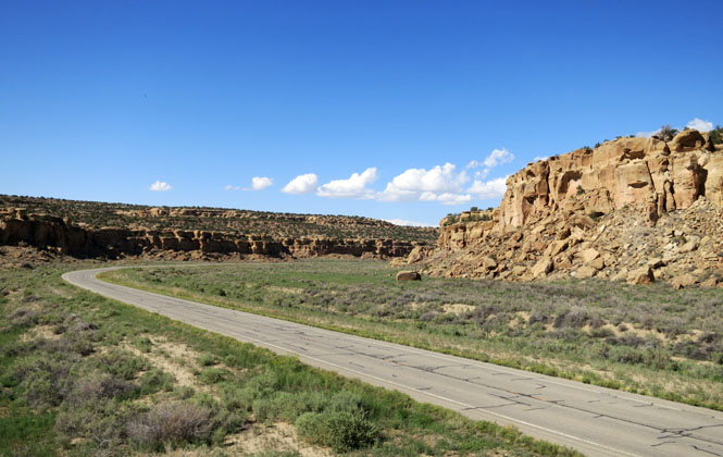
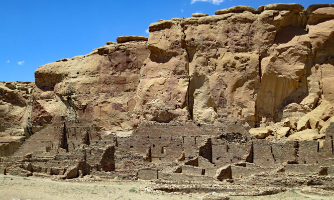
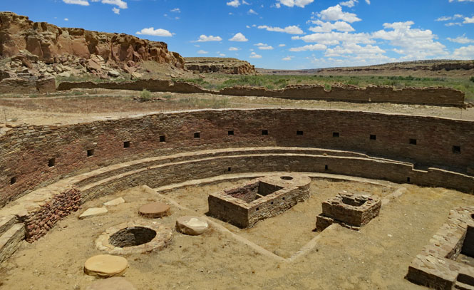
Chaco Culture National Historic Park. This is one of the really remarkable places I've visited. The entry road is not paved and is pretty horrible, but persevere.
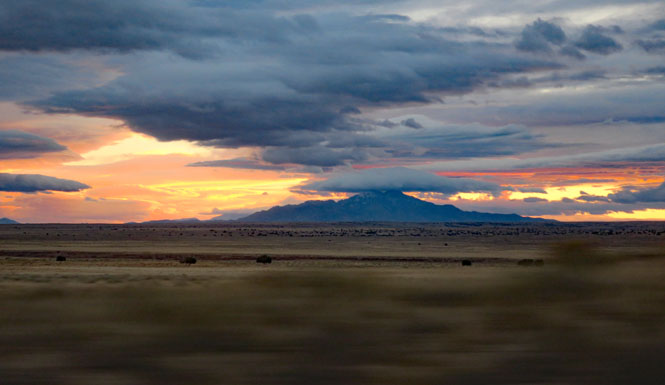
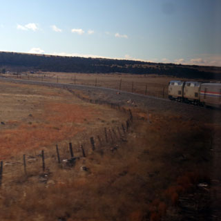
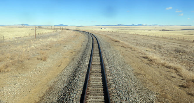
 Burlington Northern Santa Fe Railway
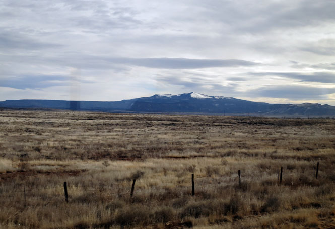
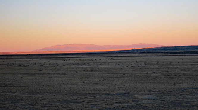
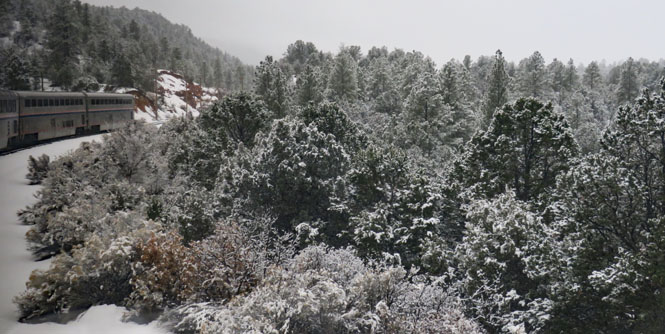
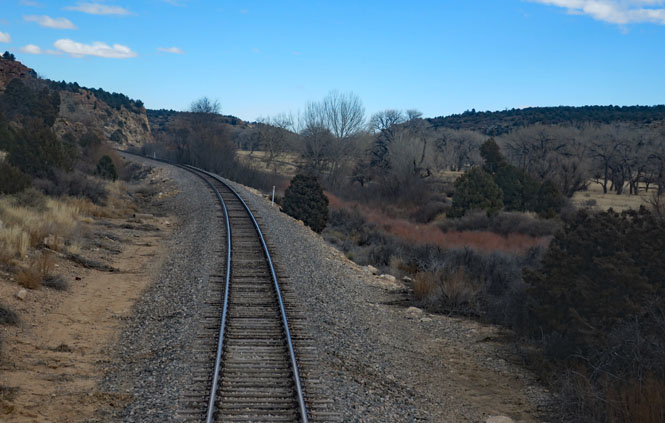
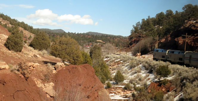
 Amtrak
Ladron Peak.
Sandia Peak over Albuquerque.
West of Albuquerque.
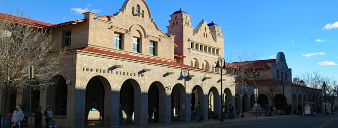
Albuquerque, New Mexico (the train and transit station).
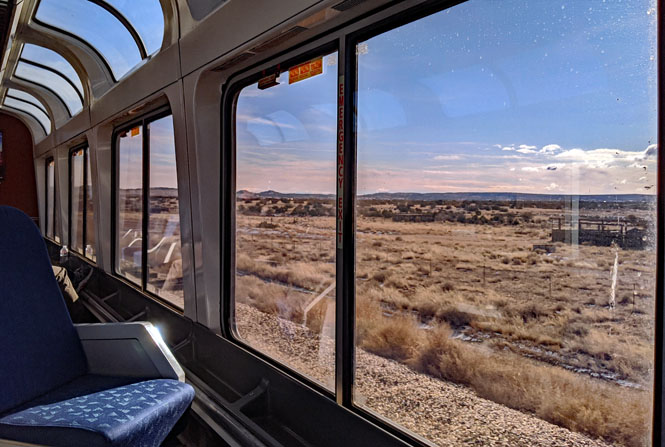
The view from the tracks that only rail passengers can see, Albuquerque.
Glorieta Pass.
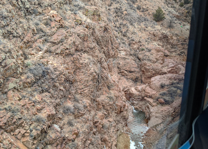
On the Apache Canyon Railroad Bridge over Galisteo Creek near Lamy, New Mexico, which was constructed in 1892. The train doesn't run fast through this narrow canyon, but you've still got to be quick with the camera to capture the creek.
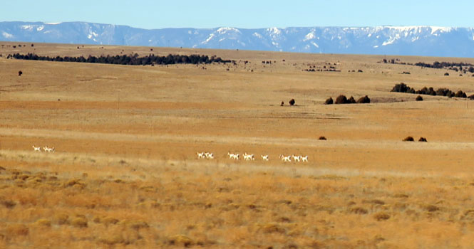
North of Las Vegas.

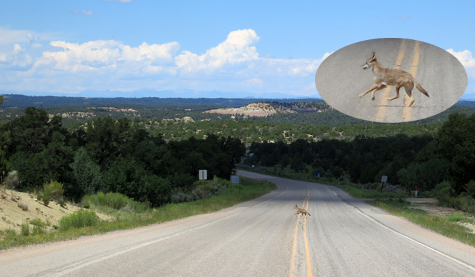
Pronghorns on the move.
Cattle not on the move.
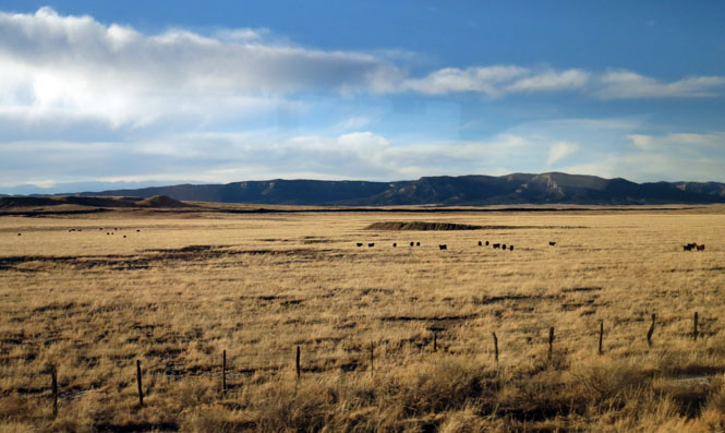
North of Waltrus.
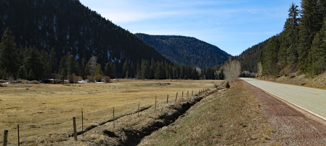
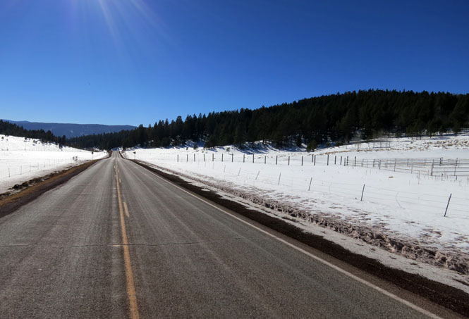
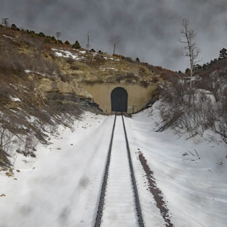
Climbing to the Raton Summit Tunnel, which is entirely in New Mexico.
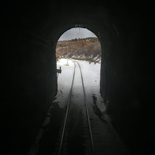
Seconds after emerging from the tunnel, you're in Colorado.