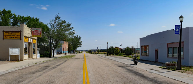
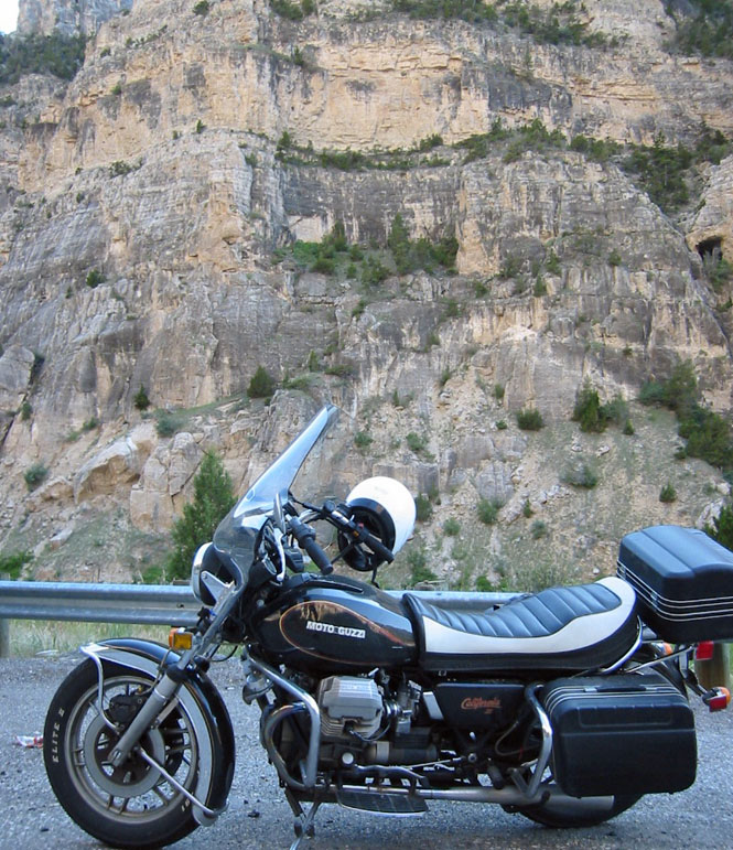
Focus on Wyoming

 Wyoming
I think when people think of Wyoming, they think of the old west, of open ranges, of cowboys and perhaps of outlaws. But, virtually the only part of Wyoming that is visited is the northwest corner of the state: the Grand Tetons and Yellowstone, which have little in common with those things.
This is a broad photo-journey of the state using the photographs from twenty-three trips.
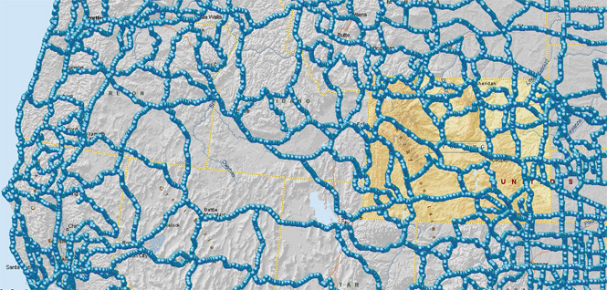
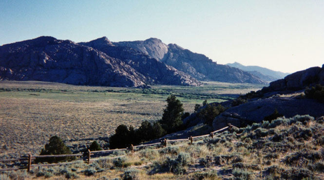
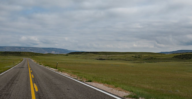
When touring Wyoming, you'll need to keep in mind four mountain ranges: Absaroka Range, Wind River Range, Big Horn Mountains and the Laramie Mountains. That's because there are nearly no roads that cross those mountains (and there are none over the Wind River Range), so getting around means accepting some long detours.
I've arranged this by highway number. More than most states, Wyoming roads have multiple highway routes that occupy the same bit of pavement. It's not unusual to see a stack of numbered signs at intersections. So, to organize this, I just picked whichever numbered highway made the most sense for a given spot.

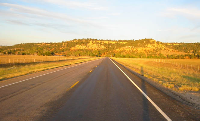
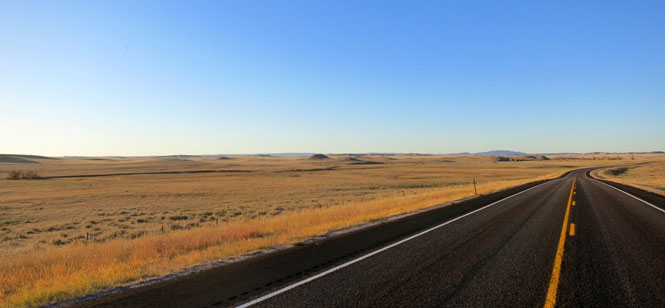
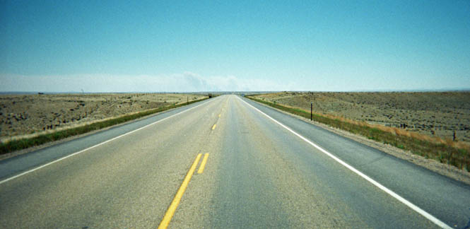
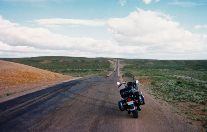
This is the only north-south freeway in Wyoming. It's the connector between the two east-west freeways: I-90 and I-80.
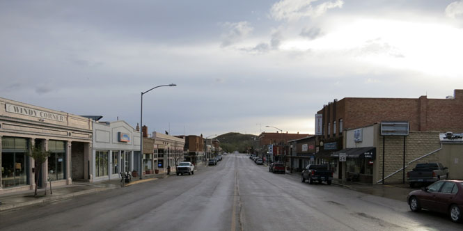
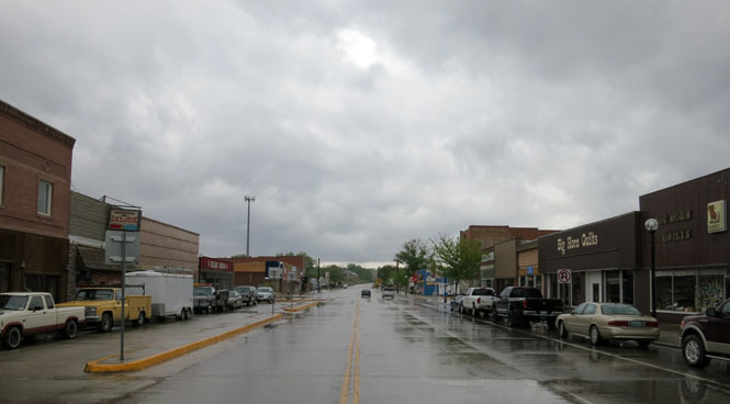
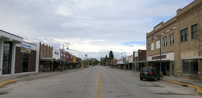
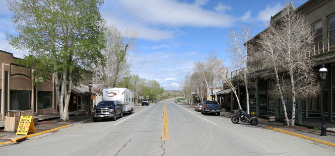
Buffalo, Wyoming.
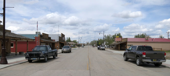
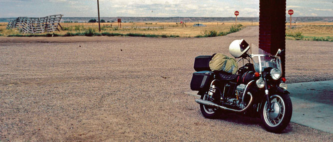
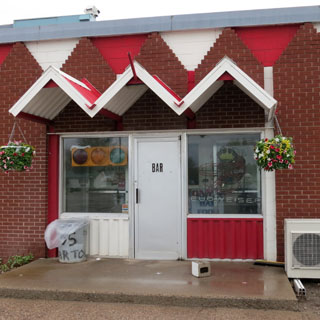
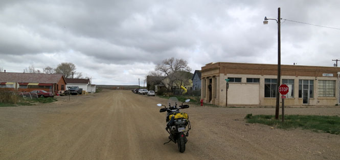
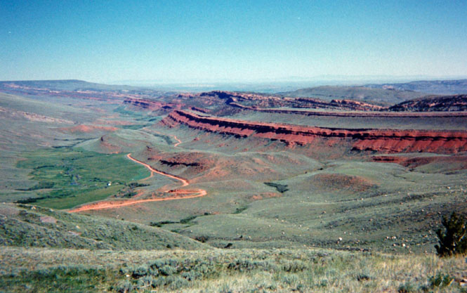
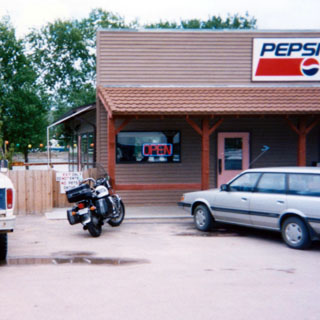
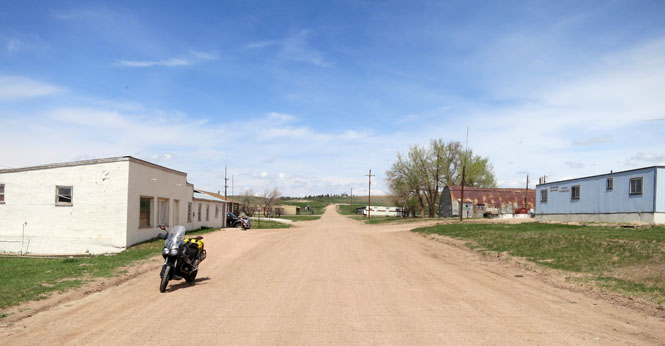
Kaycee, Wyoming.
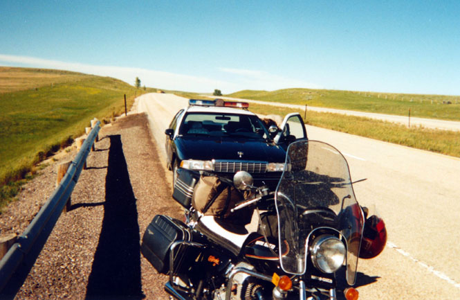
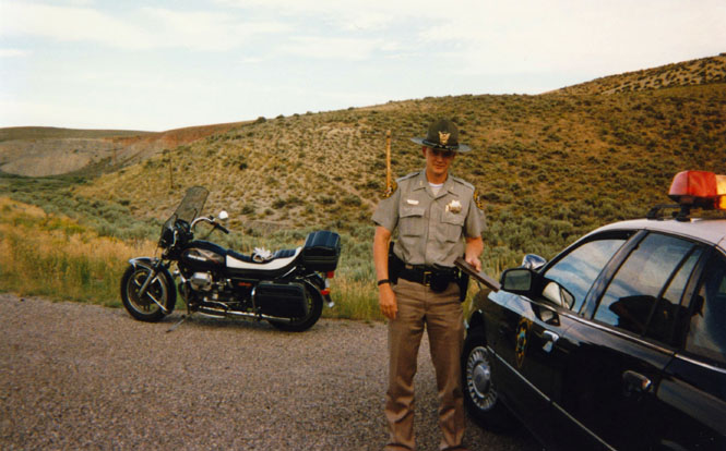
Three times on the same trip... all just warnings. I think I've been stopped more often for no apparent reason in Wyoming than every other state and country combined.
The National Trails Museum, Casper. This is quite a good museum. The Oregon Trail is the best known, but there were also others that came through this area. The museum is worth an hour's stop.
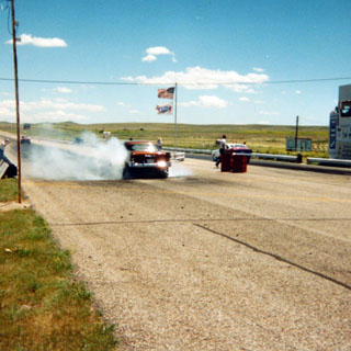
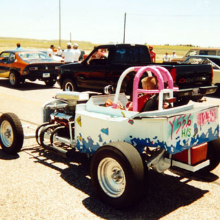
At Douglas I stopped for perhaps two more hours watching a drag race event.
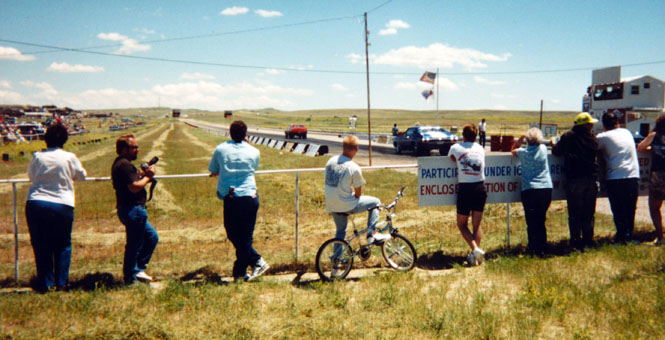
This was only a local affair but it was a lot of fun to watch. They certainly had looser spectator safety requirements than most such races that I've been to.
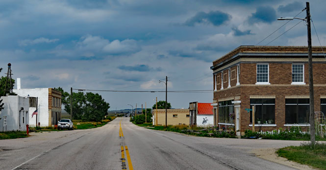
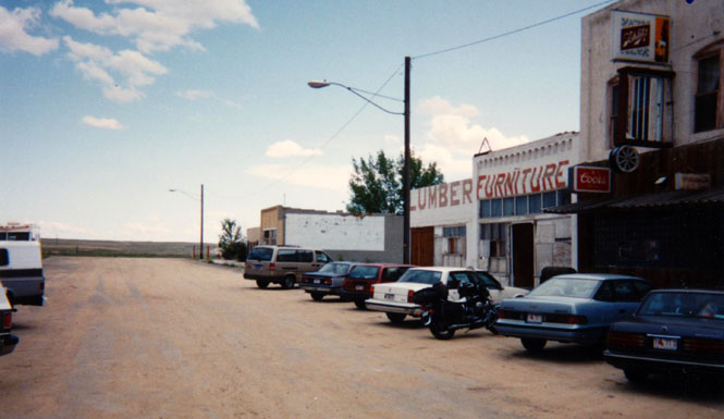
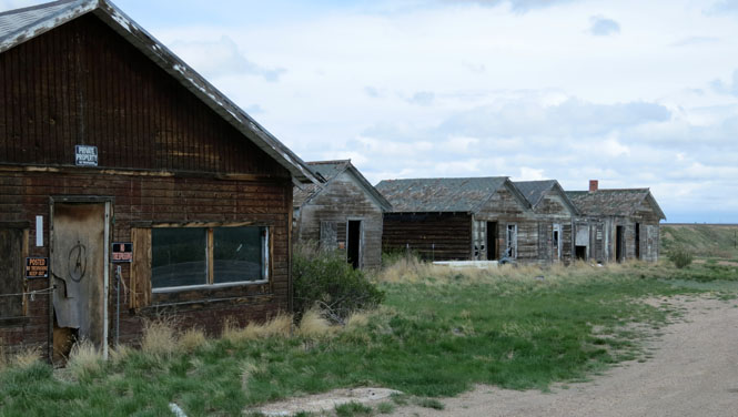
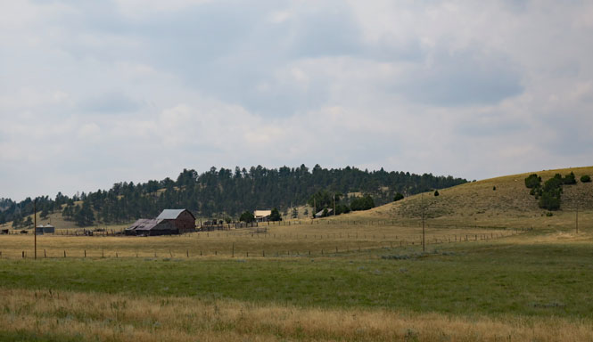
Chugwater, Wyoming. Many of these slowly vanishing towns are here only because of the steam locomotives, and those have been gone since the late fifties. It evidently takes a long time for a town to die.

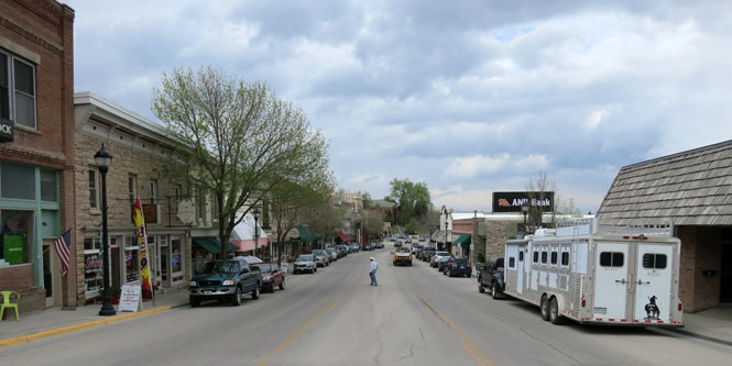
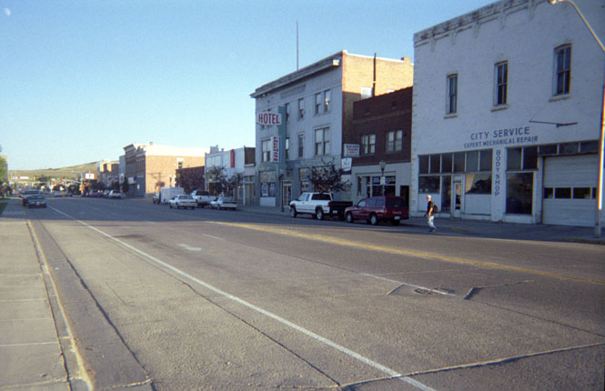
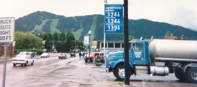
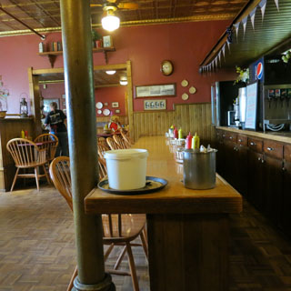
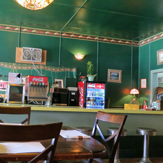
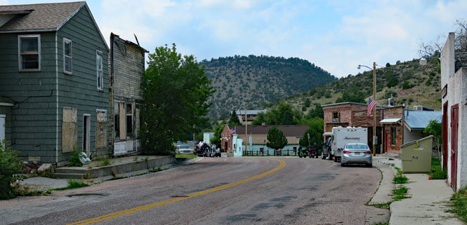
Downtown Evanston. I had dinner at a small Chinese restaurant near that old hotel on the right. It was unexpectedly excellent.
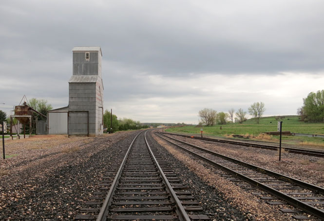
Green River. No matter where you stay, you'll be hearing trains all night.
Rawlins, Wyoming. The prison museum is worth stopping for.
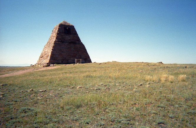
The Ames Monument. I was actually trying to find a marker for one of the founders of the Lincoln Highway. Instead, I came across this, a nearly forgotten monument to Oakes Ames, a railroad promoter (but more notoriously, a corrupt individual who saw that there was a lot of money to be made during the building of the transcontinental railroad and did his best to get as much as he could).
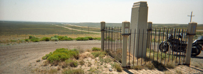
This is the monument I was looking for. Henry Joy had as much to do with the creation of the Lincoln highway as any other man (next to Carl Fisher), so it is appropriate that there is a memorial to him on the original route. This monument has been moved to a rest stop on I-80. The original was so obscure (once the freeway replaced the old Lincoln Highway) that it was impossible to see, and just as hard to get to.
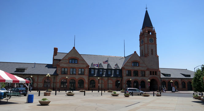
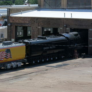
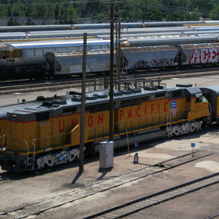
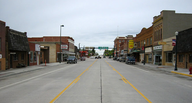
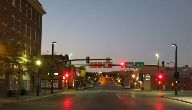
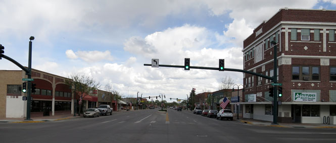
Cheyenne, Wyoming.
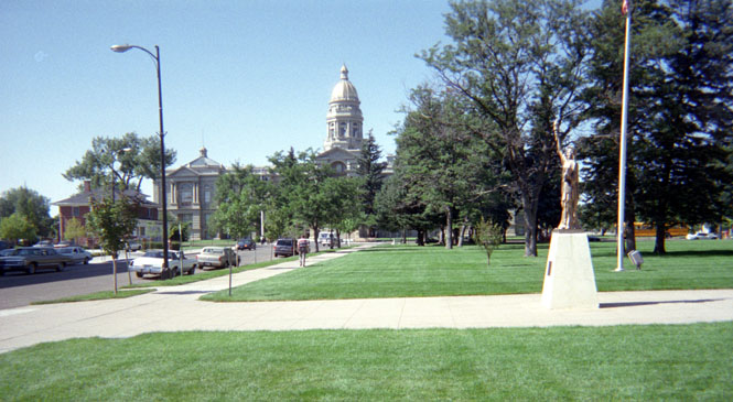
Cheyenne is all about the Union Pacific, and the museum in the old depot is a good one. The Union Pacific stream shops are also here, but there are no scheduled tours offered.

Ranchester, Wyoming. From Buffalo to Ranchester, I'd been riding in some very heavy rain. It's time to stop, since I'm not going to cross the Big Horn Mountains in this weather.

Greybull, Wyoming.
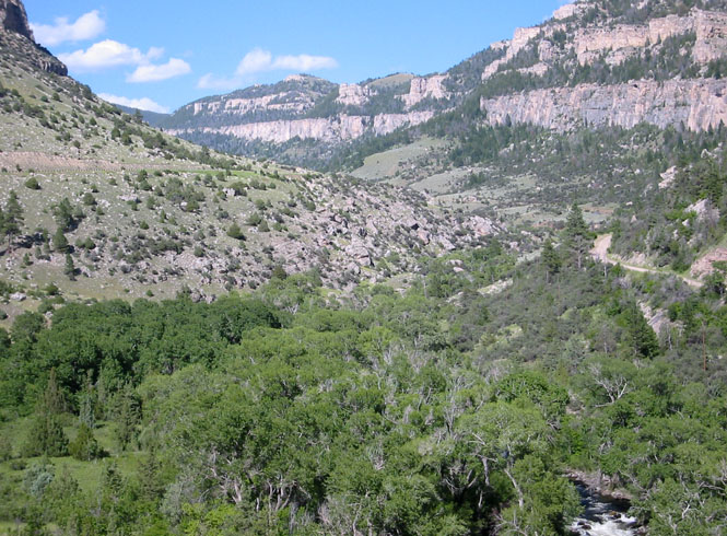
Climbing into the Big Horn Mountains. There are three routes across these mountains: 14, 14A and 16. There is no "best"; all three are good.
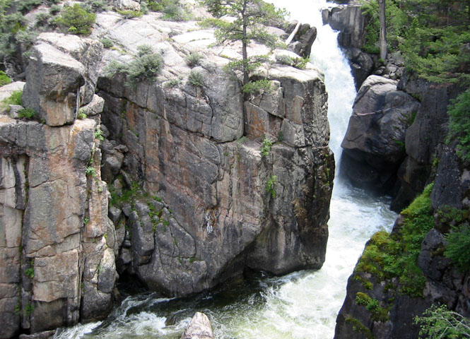
Shell Creek is scenic enough, that it might just tilt the three-way balance to favor this route.
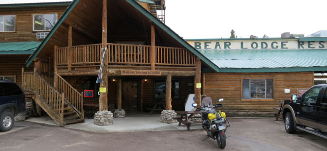
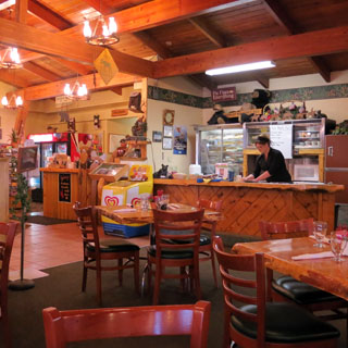
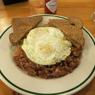
Burgess Junction. I think I've never been through Burgess Junction without stopping for food.
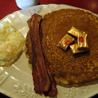
This morning it would be corned beef hash with eggs and brown toast. It was raining pretty steadily, so I waiting an hour, or so, for things to settle down before continuing.
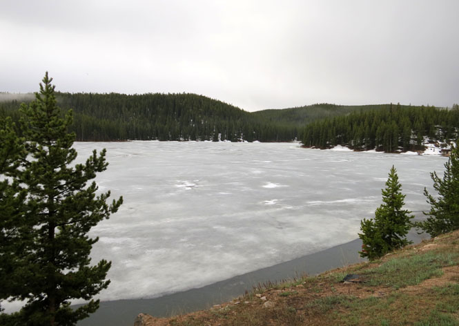
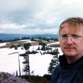
That's a lake, and yes, it's frozen as are my hands.
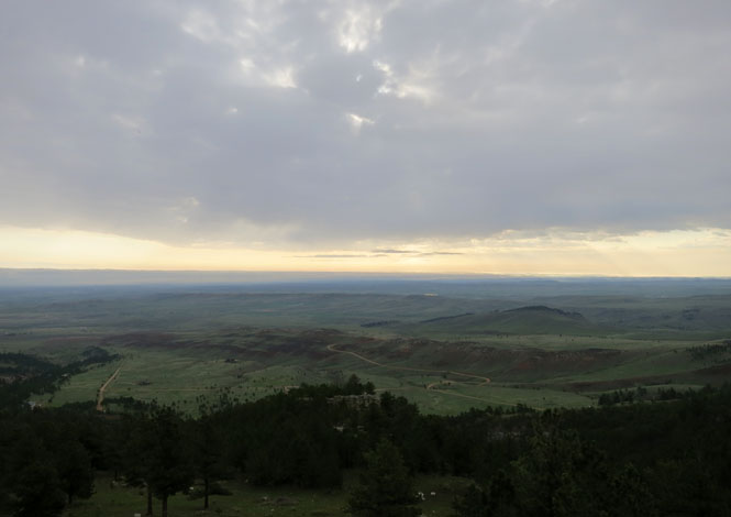
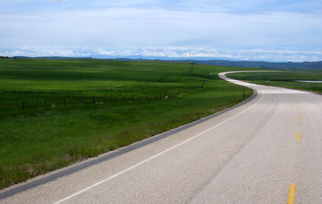
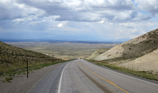
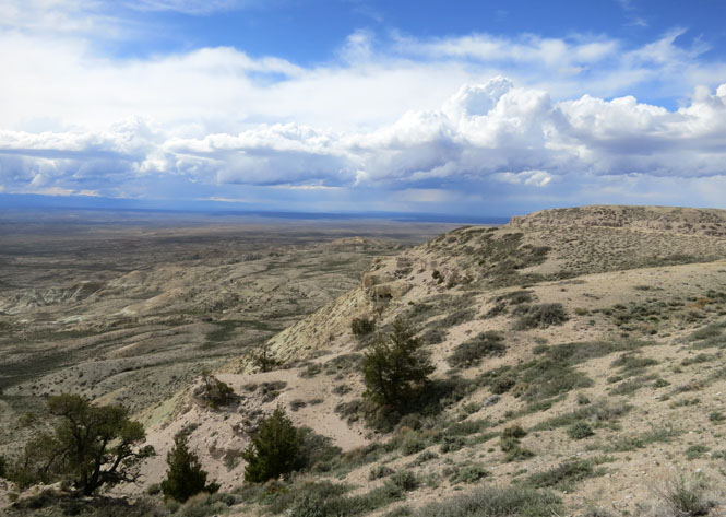
The view looking to the east across the start of the Great Plains.
The descent is rapid. You'll not be riding in flat lands for a good while, yet, but you're clear of the Rocky Mountains--the weather patterns are entirely different.
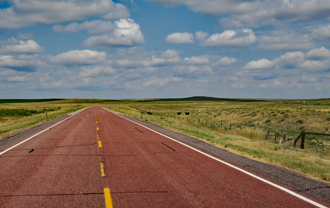
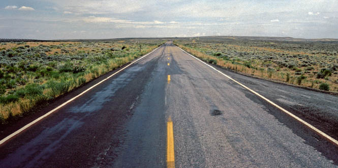
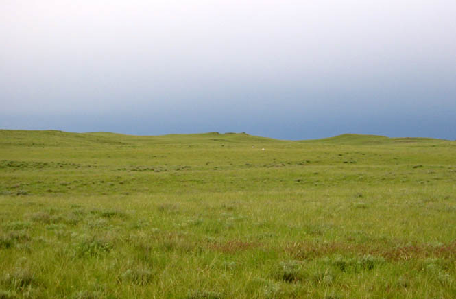
East of Sheridan. This part of US-14 gets very little traffic.
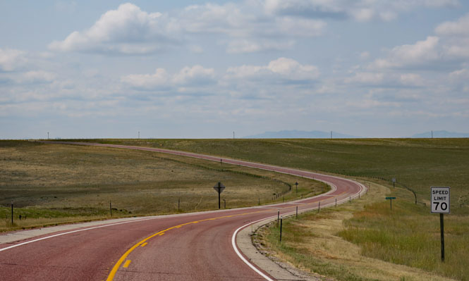
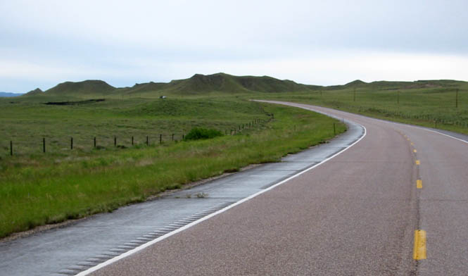
West of Ucross. You'll not find any fuel; don't be fooled by the towns on your map.

This is another route over the Big Horn Mountains.
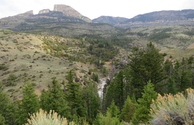
The view to the west (towards Yellowstone).
The sign is for truckers to give them warning for where the steepest grades will be found and suggestions for avoiding them. These are all mild roads for motorcycles, though.

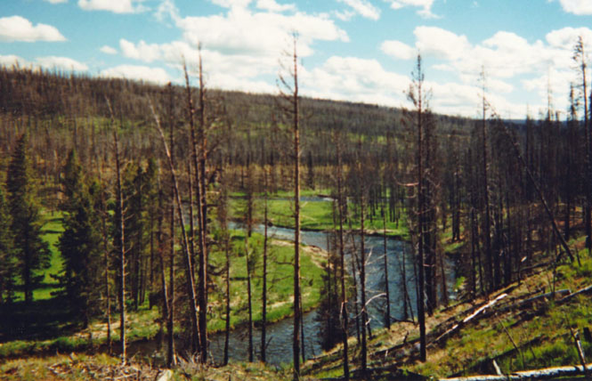
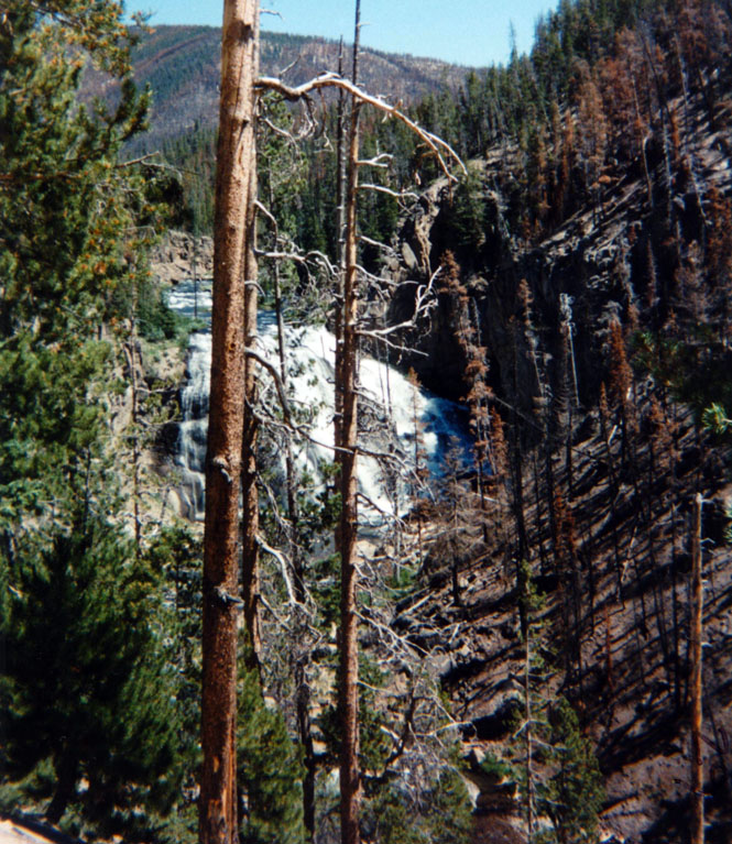
Near the western boundary of Yellowstone. There have been serious fires in this area that will take decades to recovery.
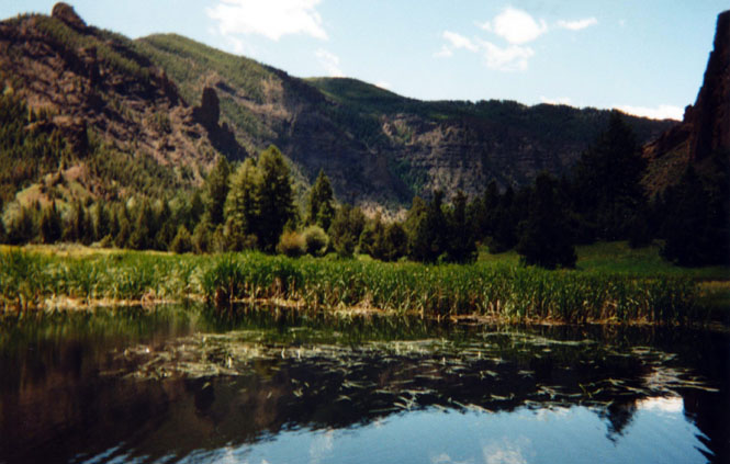
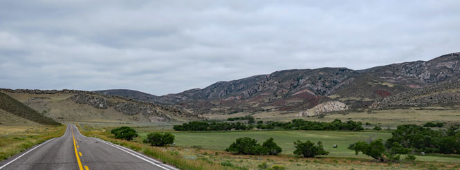
West of Cody.
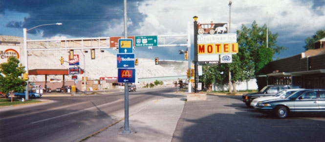
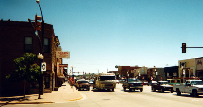
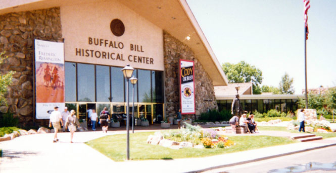
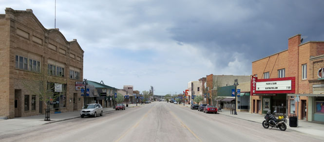
Cody, Wyoming.
There are three museums within this center; you should expect to spend at least that many hours.
The third way through the Big Horn Mountains.
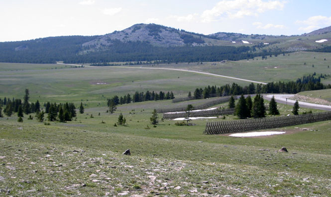
Powder River Pass.
West of Buffalo.
Near Clearmong after crossing the Big Horns.

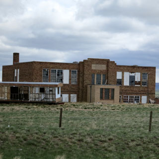
Newcastle, Wyoming.

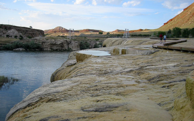
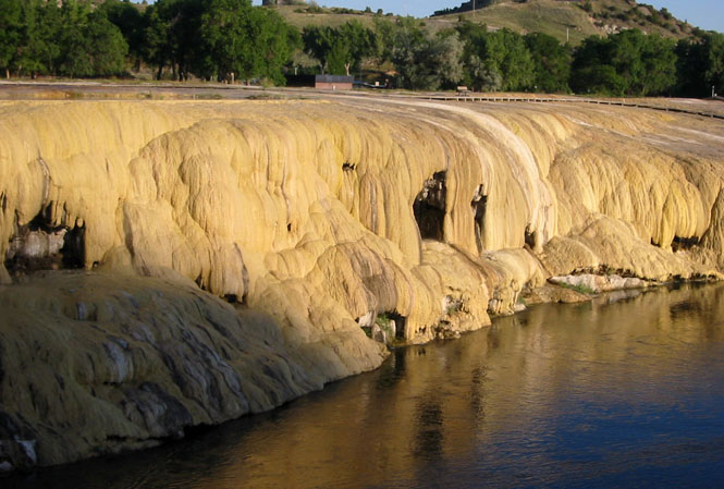
Thermopolis, Wyoming is home to one of the world's largest hot springs. Places like this used to be much more popular (in Europe, too).
Thermopolis Hot Springs.
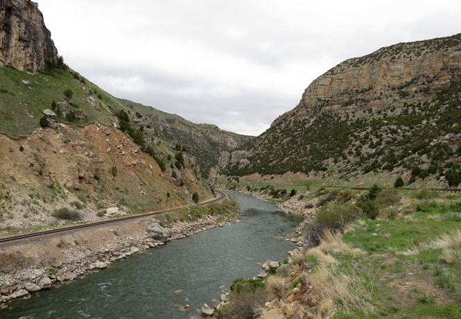
Wind River Canyon. It's a lovely sweeping road that runs through the canyon.
I'm looking for (and not finding) mountain sheep. I've been on this road a number of times, but haven't seen any animals up there (although they might have seen me).
Manville, Wyoming.
Lusk, Wyoming. In this town, there might be as many people going to the Black Hills (or Sturgis) as there are going to Yellowstone, and I've often found the hotels to be nearly full.
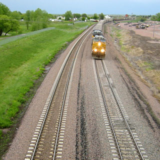
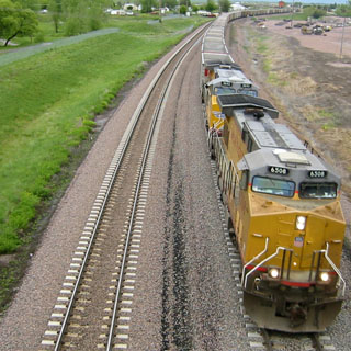
Coal trains. In this case, were looking at the empty cars coming back for more.
Van Tassell, Wyoming is at the edge of the Nebraska line. Before the road turns, you'll be in Nebraska.

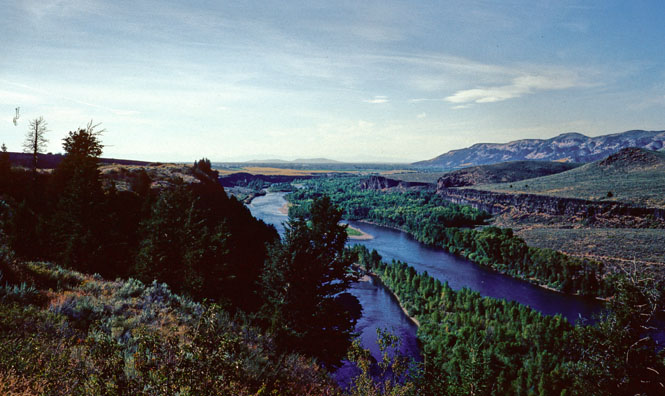
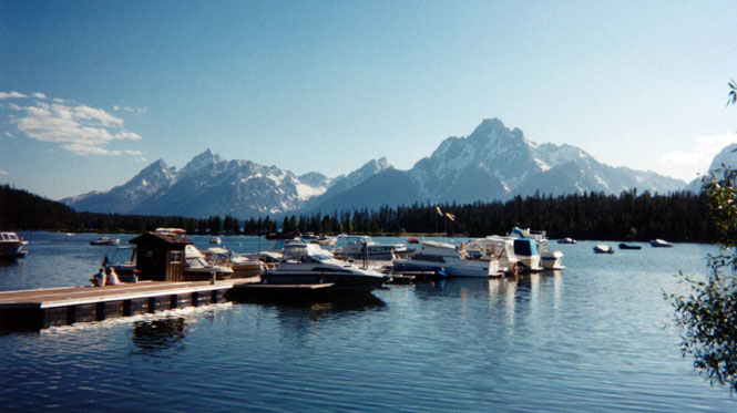
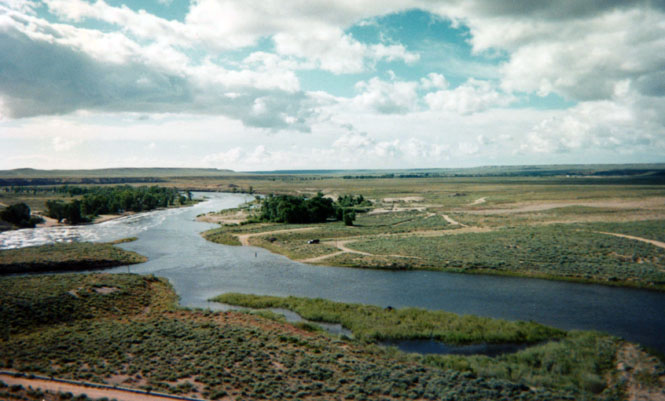
The Snake River.
Jackson, Wyoming. While tourists visit the somewhat mythical place of Jackson Hole, residents live in, and only talk of (just plain) Jackson.
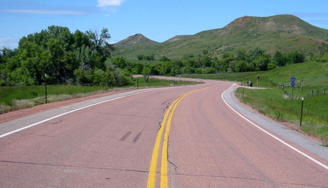
I crossed over to the Tetons at Togwotee Pass (9,500 feet). This is a very motorcycle road.
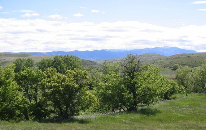
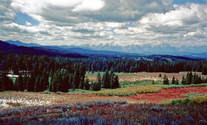
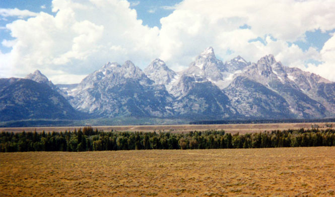
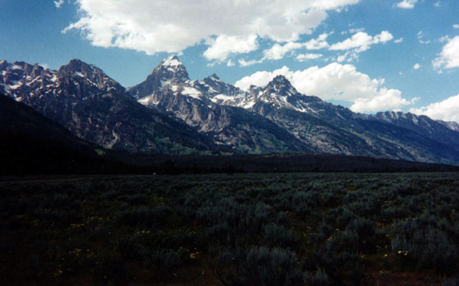
The distant view of the Grand Teton mountains from near the summit.
Riverton, Wyoming.
Horrible side winds took half the windshield off. In all my years of riding, this day remains in memory as the worst and most dangerous for side winds. I-80 across southern Wyoming has automatic signs that require trucks to stop when the winds are beyond a certain level--it's common enough, and seeing a semi on its side will convince you.
Shoshoni. Where Main Street ends, the prairie begins.
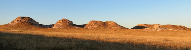
Hell's Half Acre.
I camped at Hell's Half Acre, which is on the south fork of the Powder River, about 50 miles west of Casper. It's quite an amazing place.
I did not camp close to these guys who were traveling on their Gold Wings. This was their first big trip, and they were excited about all of it. I couldn't figure out why they were all so concerned about covering their motorcycles for the night. They were puzzled by my clipped windshield.

Guernsey, Wyoming.
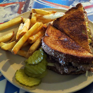
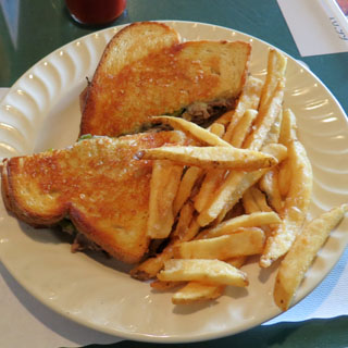
You (usually) cannot go too wrong with a patty-melt. This was a good one.
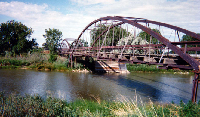
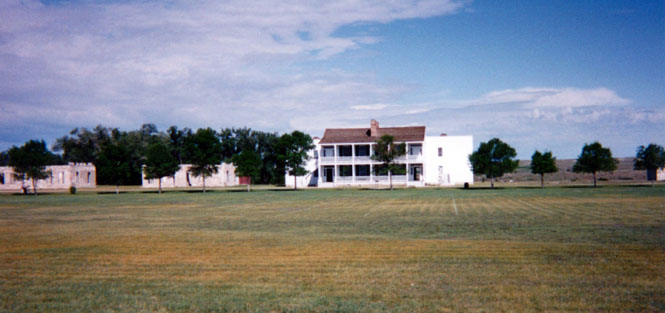
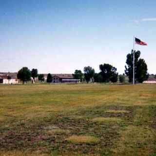
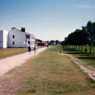
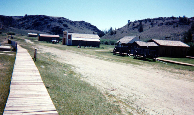
Not too many miles across the state line into Wyoming is Fort Laramie National Historic Site. This bridge over the Platte River (built in 1880) is no longer used by anything except foot traffic.
Fort Laramie, Wyoming. It's worth stopping for.
Torrington, Wyoming.

Near Kemmerer. Sheesh; it never seems to end in this state! Never a ticket, however. Just a nice chat with a friendly officer (I'm not being ironic, they've all been quite good) and I'm on my way.
Near Granger, Wyoming.
Hanna, Wyoming. It's much too cold this morning, so I'll duck into Hanna to find some shelter and to warm my hands on the cylinder heads.
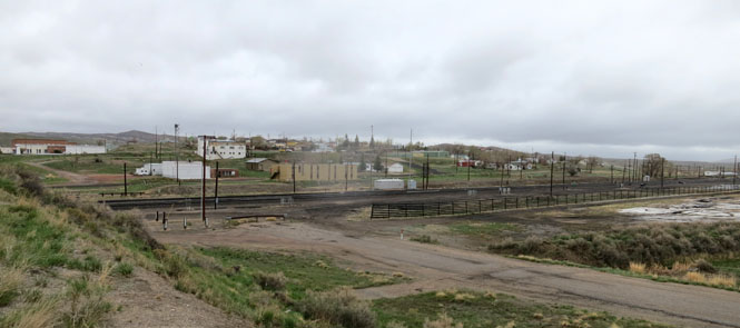
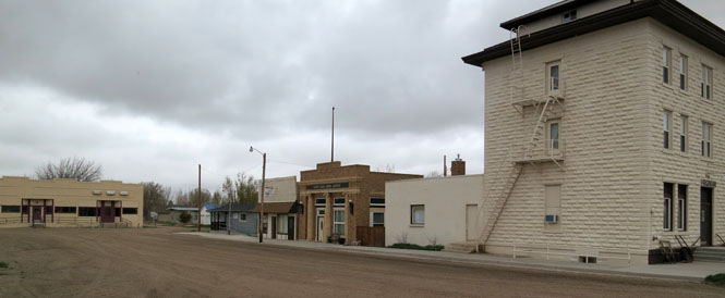
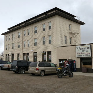
Medicine Bow (after getting still yet another warning ticket by a friendly Wyoming trooper). This town was the setting of the novel "The Virginian" (there are plenty of signs to remind you of this).
The Virginian's
pistol came out, and his hand lay on the table, holding it unaimed. And with
a voice as gentle as ever, the voice that sounded almost like a caress, but
drawling a very little more than usual, so that there was almost a space
between each word, he issued his orders to the man Trampas: "When you
call me that, SMILE." And he looked at Trampas across the table.
- The Virginian [Owen Wister]
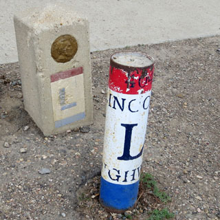
The old Lincoln Highway came through here. The route of the freeway that replaced it is many miles to the south.
Rock River, Wyoming.
Bosler, Wyoming probably was busy enough as a stopping point on the Lincoln Highway. But, it's been a long time since these cabins were used. Time stopped when the new Interstate Highway took traffic many miles away from here.
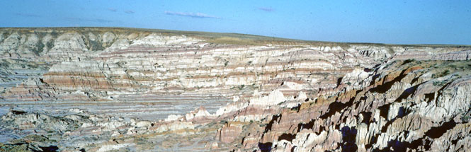
Fossil Butte National Monument is not really much of a tourist destination. This photograph was shot from the visitor center (a trailer).
The actual fossil beds are about three miles up the trail. I didn't walk much further than this, though. Places to go, miles to ride...

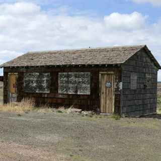
Weston County, Wyoming.

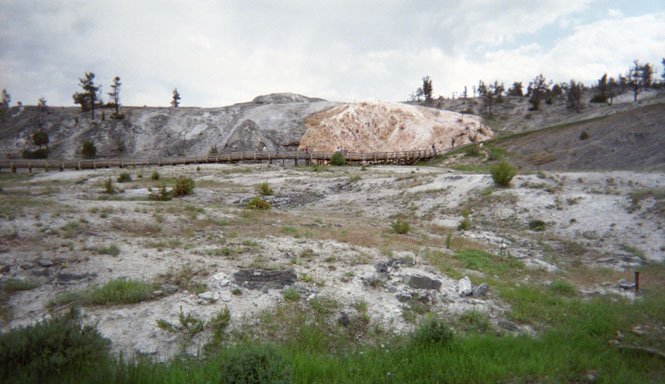
Mammoth Hot Springs. There are lots of highway numbers that run through Yellowstone. I think I'll just group all the photos here.
Gibbon Falls, Yellowstone. Some of the burned hills are visible in the picture. Overall I didn't think the burned areas detracted from the scenery.
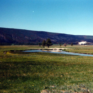
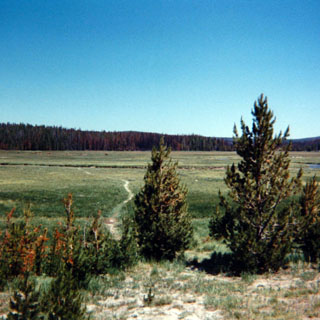
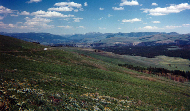
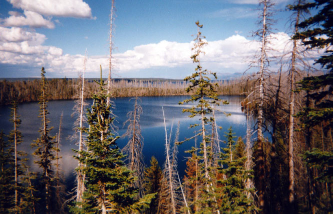
There are many meadows in the park that look just like these.
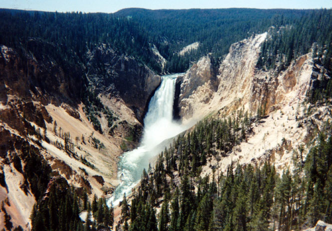
Yellowstone Falls (or rather, what's downstream from the falls).
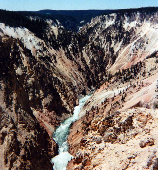
Yellowstone Falls. Other than possibly Old Faithful, this might be the most photographed view in the entire park.
This trip gave me the opportunity of driving around the east road. Most tourists stay on the west roads, so I had this half of the park pretty much to myself. This was one of the prettiest areas.
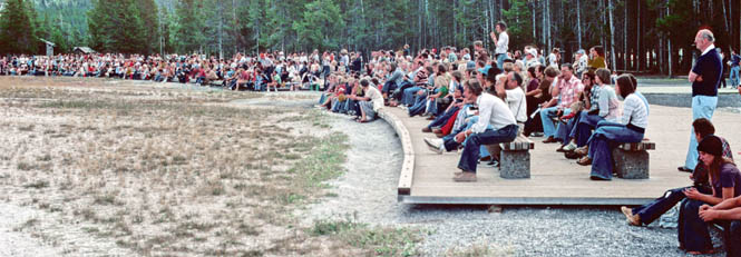
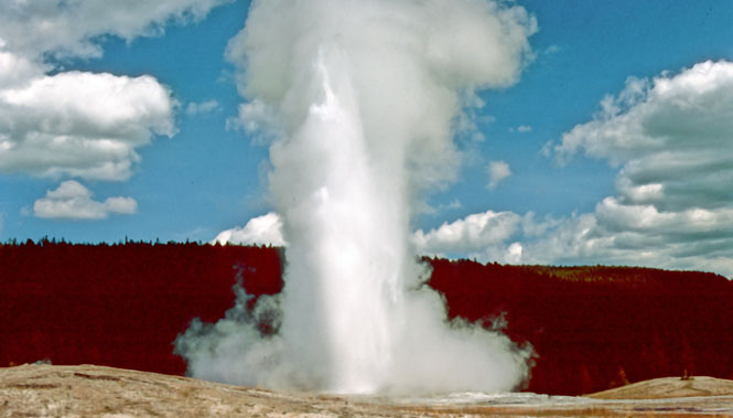
Yellowstone's old faithful and the people watching.
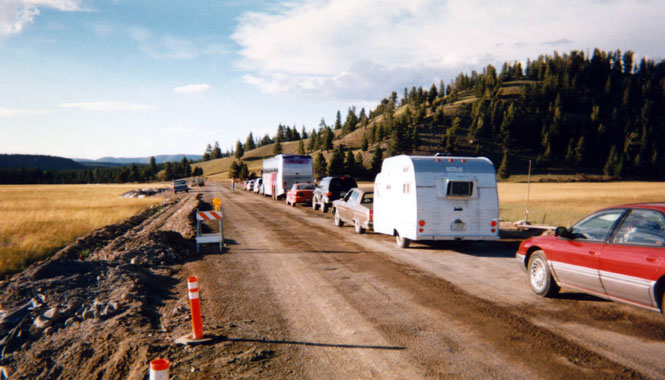
It happens that the best time to repair the roads is also the best time to visit the park. That's the way it goes; expect it.
Grand Tetons.
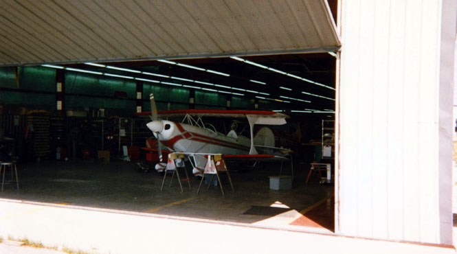
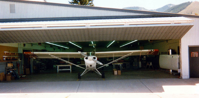
Afton, Wyoming is the unlikely home to a small aviation industry. Call Aircraft (CallAir) built airplanes here as did Curtiss Pitts and others (Christian Eagle, Aviat), since. The museum is a must-see.
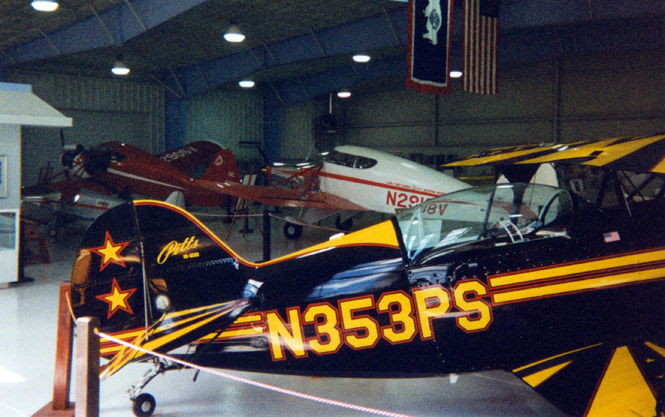
I was able to tour the factory with the guidance of a young intern. It was like stepping back through fifty years of airplane technology from what I'm used to.

This is a shot of the Grand Teton Mountains from within the park.
Jackson Lake, in Grand Teton Park:
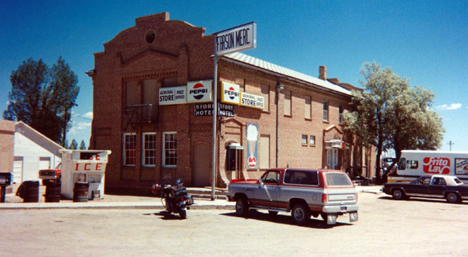
Farson, Wyoming. The temperature by this time was well into the nineties so I stopped here to cool off for a bit.
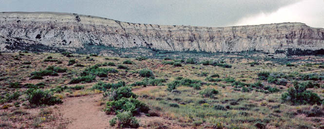
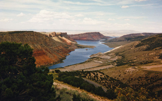
Flaming Gorge is just over the plateau in the photograph. It's an amazing place, unlike anything else in the country.
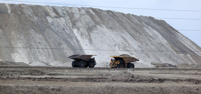
Coal is not the only thing taken from the ground in Wyoming (phosphorus, for instance).
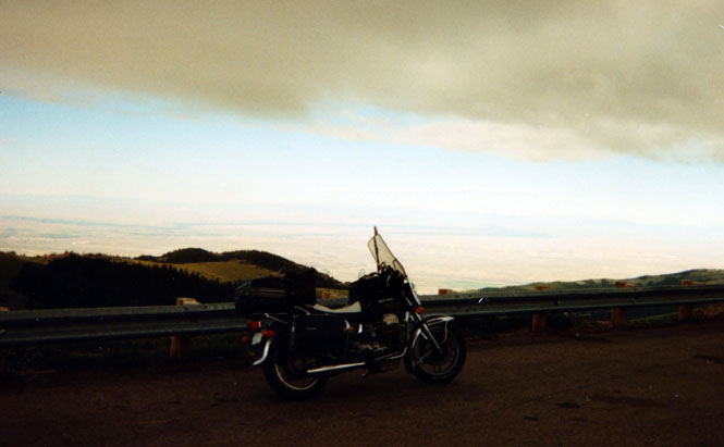
The scenic shortcut that wasn't, exactly that. Eventually, I had to turn around; I'm on the wrong motorcycle if I want to do much of this.

Jeffrey City, Wyoming. During the boom-times of Uranium mining (in the fifties), this place was very busy. That's all done and will not likely return.
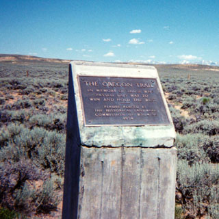
Staying on the route of the trail, this is the view looking west from Devils Gate. The Oregon Trail follows the Sweetwater River through the valley.
Devils Gate. The Oregon Trail passed right through it. The old highway did too, but the newer one passes to the south of the narrow opening in the rocks.
Split Rock and the Oregon Trail.

Hulett, Wyoming.
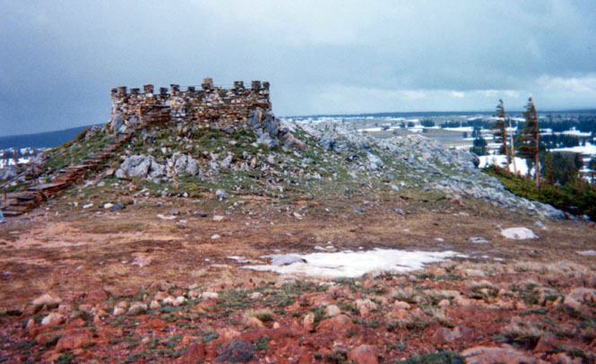
Devil's Tower.
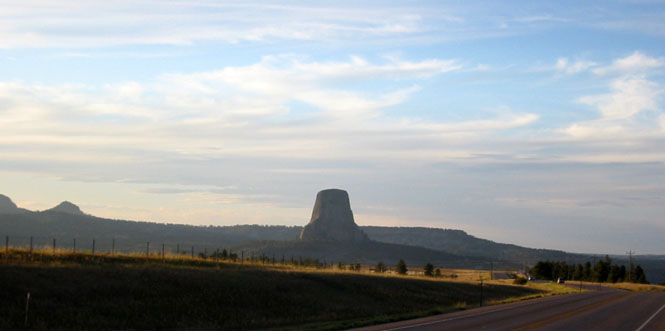
and, closer...
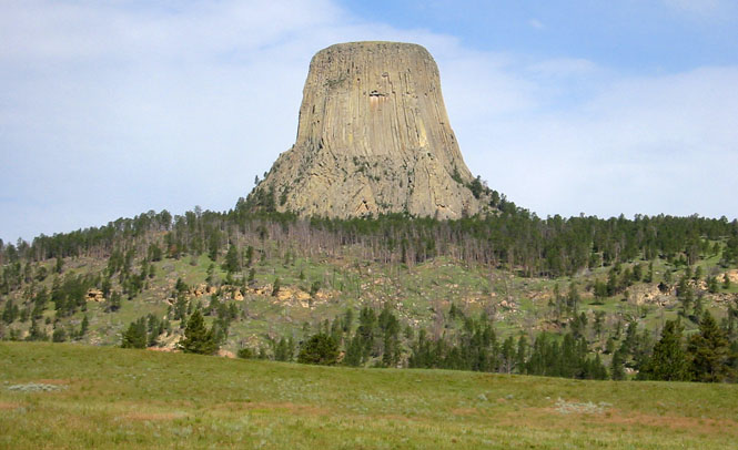
and, still closer.
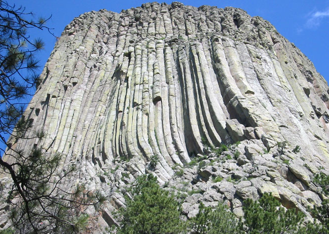
There's a trail that will take you around the tower.

South Pass, Wyoming. Aside from the name, this town had little to do with the Oregon Trail, being an old gold rush era town. It is being restored by the state of Wyoming.
The school was last used as recently as in the late sixties. South Pass; home of the first woman Justice of the Peace in the world--or so the sign said.
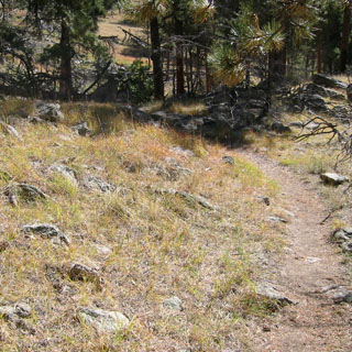
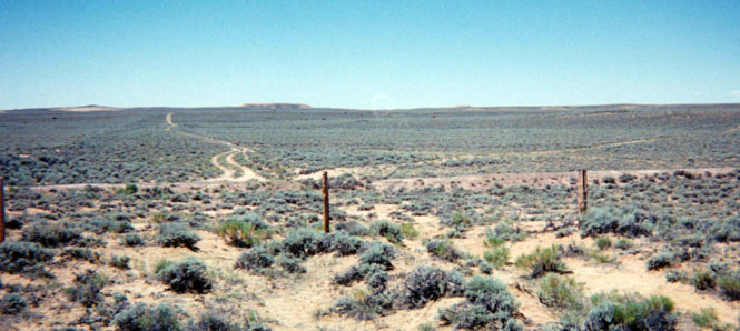
I had several miles of dirt road to ride in getting from South Pass back to the highway. When I stopped the bike, it was very, very quiet. Not much traffic, I shouldn't think. In any case, I saw no other vehicles.
This is the real South Pass of the Oregon Trail: the low and easy pass over the Rocky Mountains that made possible the trail. It's discovery made all the difference to the country. I've always found it interesting that a mountain pass as important as this once was remains much the way it has always been. For various reasons (related to the needs of steam engines), the transcontinental railroad took a different route, and the Interstate doesn't even come close. There's a lot of history at this spot and you can still see it.
One of several trail markers.
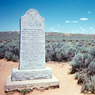
The 'Parting of the Ways'. The trail straight ahead (you will note the different color of the brush as a wide band just to the left of the dirt road--that's the original trail) leads to California, and the one to the right to Oregon. There were actually several places along the trail where a person could make this choice, so it wasn't quite as defining as the monument makes it out to be.
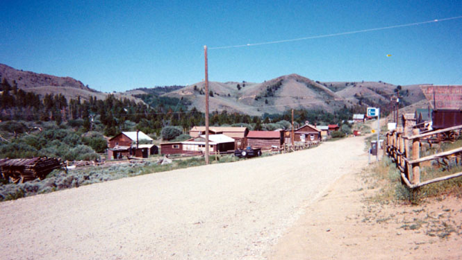
The town of Atlantic City is a near-deserted old gold town well off the main highway.
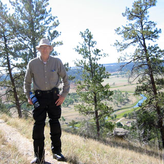
Looking north towards Lander.

This is your fastest route between Laramie and Wheatland, but evidently, not many people actually care about getting from Laramie to Wheatland.

Coal.

Wright, Wyoming. The Stelvio is just a bug to this thing.
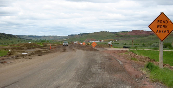
When the Wyoming highway department repairs a road, they do it all at once, both lanes.

Baggs, Wyoming. I was looking forward to riding Wyoming-70 across the continental divide.
Savery, Wyoming.

Meeteetse, Wyoming. It's time for lunch.

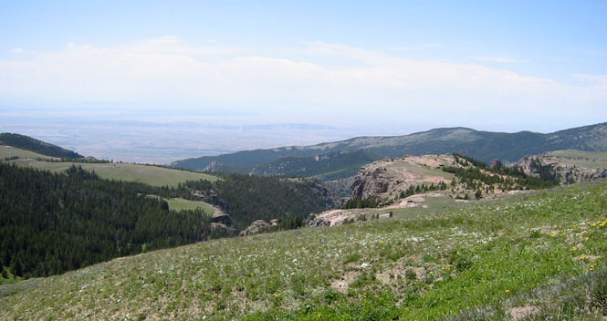
Saratoga to the Medicine Bow Mountains. It's always cold on this pass.
The summit of the Medicine Bow Mountains.

This road is a shortcut south out of Riverton (also called Sand Draw Road), but I think people mostly prefer to take a US highway instead of a Wyoming highway, so you'll probably never see a car on this road.
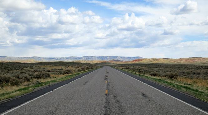
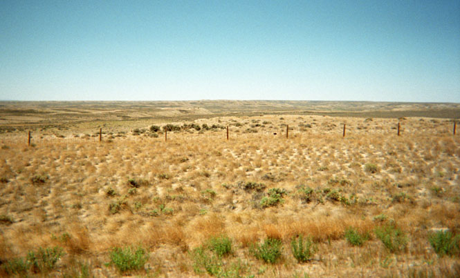
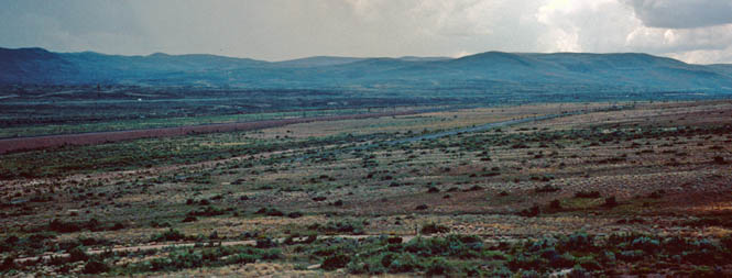
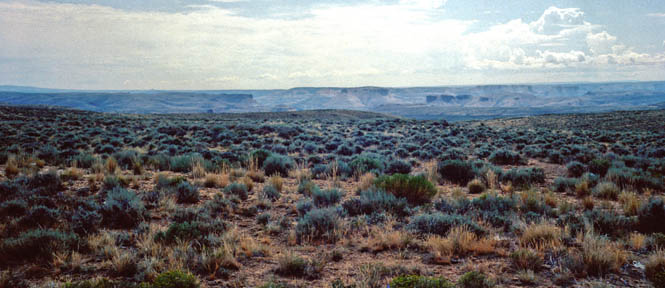
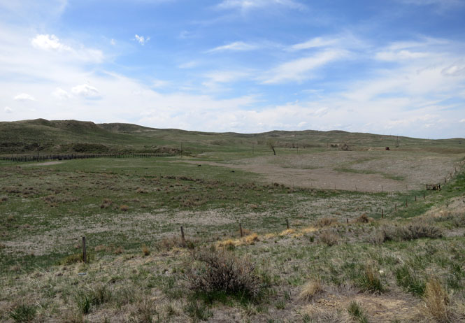
The view of a wide and empty basin.

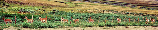
Those are pronghorn antelope. Have you ever smelled the prairie after a thunderstorm?
Goshen County, Wyoming.

Linch, Wyoming. When something needs mining, a town springs up. When the mine is through, there's not much of the town that remains. That's Wyoming.

Eventually, this beautiful highway turns to dirt (or mud on this day).

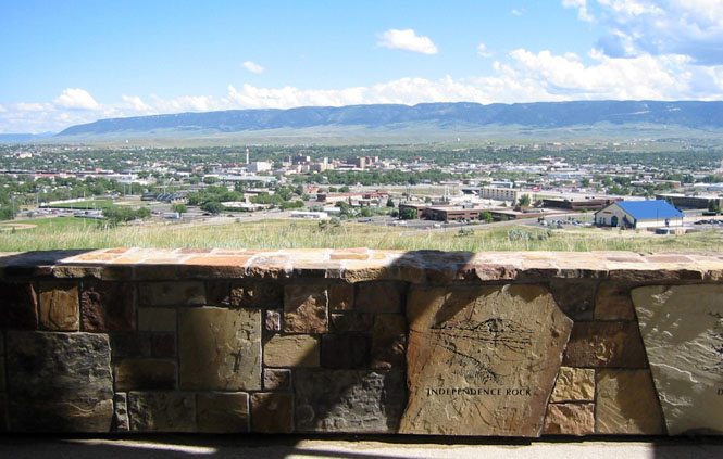
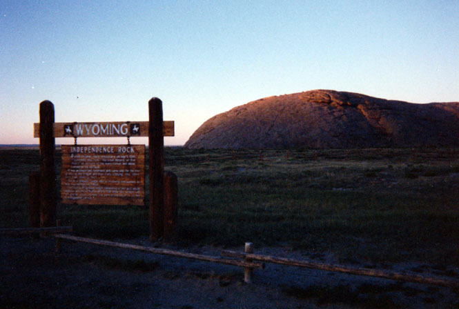
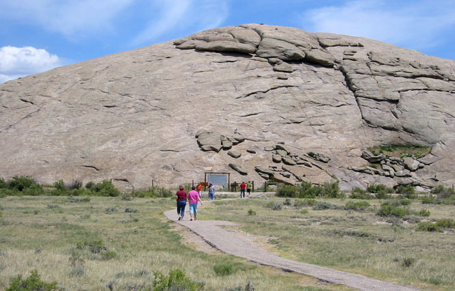
Independence Rock, where I spent the night in a rest area (it said "no camping" but I didn't think they really meant it). The rock was well covered with graffiti, both old and more recent. This was one of the most famous landmarks on the Oregon trail and I sure hit it on the right date. The next day was Independence day. Generally, it was a good rule to be at this point by July 4 to avoid the snows in the Blue Mountains of Oregon. This year (1989 when I took this first photo) was the 149th anniversary of the trail.

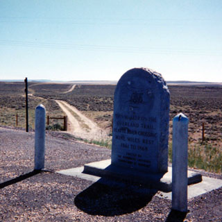
This monument marks the Platte River crossing of the Overland Trail not far from Saratoga (not to be confused with the Oregon Trail; the Overland was the stage route, not the route of the pioneers). In places the dirt road is on the trail and in others it's still possible to see the old trail markings.

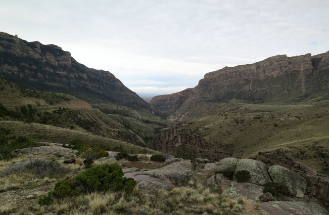
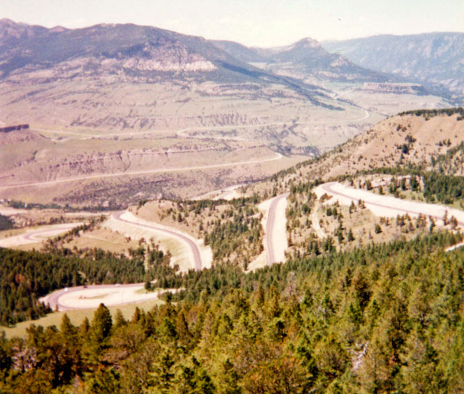
Dead Indian Pass; this is a common vantage point for a photograph, which means there are hundreds of photographs that look just like this one.

Hartville, Wyoming is on a generally empty road between the busier US-26 and US-20 through some beautiful Wyoming hills.

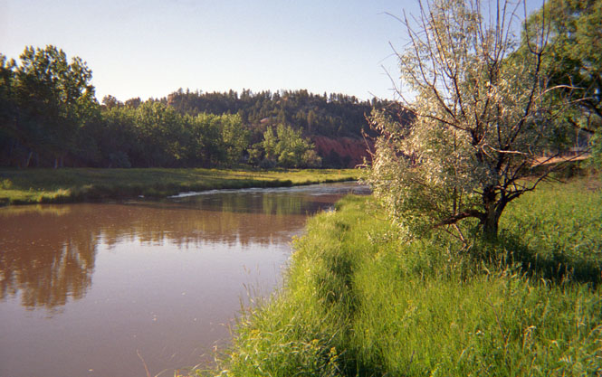
The photograph, below, is just downstream from Fontenelle Reservoir on the Green River. This isn't too far from one of several Oregon Trail crossings of that river.


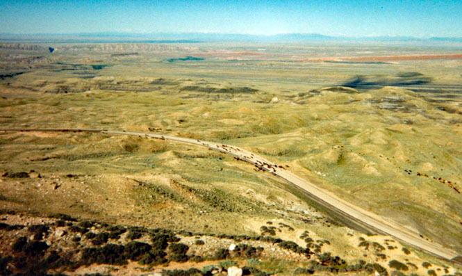
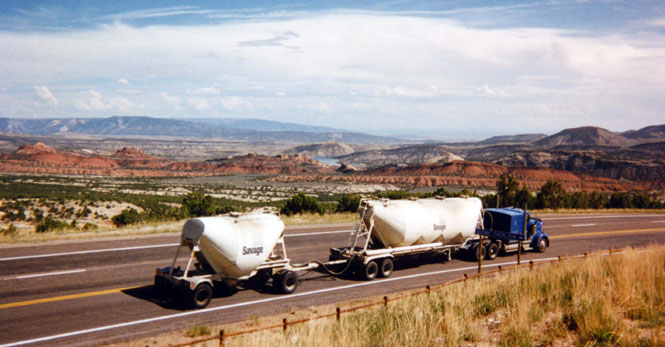
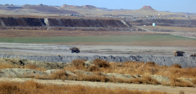
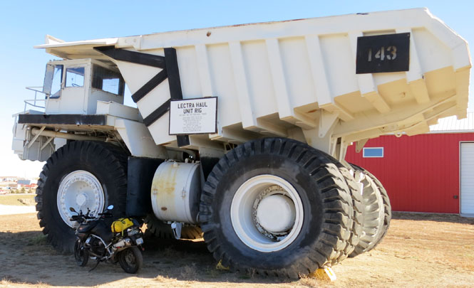
Thunder Basin Coal. There is an enormous amount of coal in Wyoming. It's on a scale that makes the coal mines of West Virginia and Kentucky look insignificant.

near Buckhorn