November 6, 2011

Geuda Springs is southeast of Wichita not far north of Oklahoma. It developed and grew due to the mineral springs of "healing waters" and at one time was a fairly thriving resort town. The 1912 Kansas Cyclopedia says:
Geuda Springs.—On the line between Cowley and Sumner counties is a remarkable group of salt springs that flow from 100 to 450 gallons each per hour, that have been known since the earliest settlement of that section. These springs are situated on a branch of the St. Louis & San Francisco railroad, a little to the north of the town of Geuda Springs and about 7 miles from Arkansas City. The waters from these springs strongly impregnate the waters in the creeks in the vicinity. A lake formed by the creek near these springs has been greatly enlarged and improved by damning the creek and now covers about 50 acres, making it the largest body of salt water in the state. Geuda is said to be an Indian word, Ge-u-da, meaning healing springs, and the place must have been a well known stopping place with the Indians.
Many improvements were made at the springs during the latter '80s, including bath-house and hotel, improving the lake, laying out drives, etc. Much of the water has been bottled and shipped to points in Kansas and adjoining states, an analysis showing them to contain sodium chloride, sodium phosphate, sodium bromide, sodium iodide, sodium nitrate, sodium bicarbonate, sodium biborate, potassium sulphate, lithium chloride, calcium sulphate, calcium bicarbonate, magnesium sulphate, magnesium chloride, iron bicarbonate, alumina, silica, and organic matter. About 1890 a dam with a flume outlet was built across the salt marsh just north of the springs, which was the means of covering the whole marsh with water and affording excellent boating.
If you've read all that, note that the railroad is gone, the lake is gone, the buildings mentioned are gone. In fact, there's very little left of any town at all.
 Kansas
Approaching Geuda Springs from the south. The grain elevator and those few other buildings gives the impression of there being more to this town than there really is.
Best I could tell, this is the center of the business district. Or at least it once was.
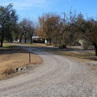
Yes; there is a post office. It's interesting that as the lots become vacant, the through-streets take a broader curve instead of following the original town grid.

In 2003 the city council passed an ordinance requiring households to have guns and ammunition (with a penalty for non-compliance). I have no idea if that ordinance is still in force or if it was even upheld to begin with. Either way, this would hardly seem to be a dangerous place.


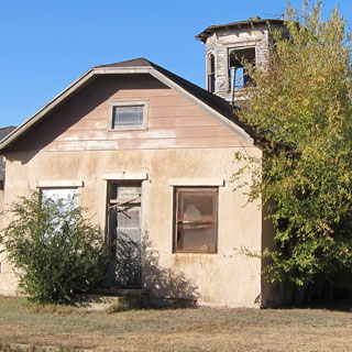
Some of these brick buildings off in the woods were very likely part of the facilities built around the "healing springs." The streets that these buildings were once on are entirely gone.


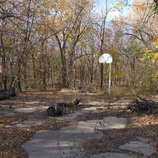
I presume the lake was once here.
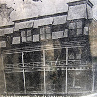
Outside the post office was a kiosk that had photocopies of old photographs of the town as it once was. The second photo shows the fire of 1908 that destroyed many of the buildings.


Riding north of Geuda Springs. In the distance you might spot two or three cotton harvesters. As they reach capacity, they dump their load in this yellow bin where the cotton is then compressed into a gigantic bale.
Stay on the same paved road that runs through Geuda Springs and you'll be in Oxford.
It doesn't take long to ride through the business district.
This church was built in 1873 (although it is no longer used as a church).

I stopped for a late afternoon dinner at Luciano's--a surprisingly good Italian restaurant in Mulvane.


