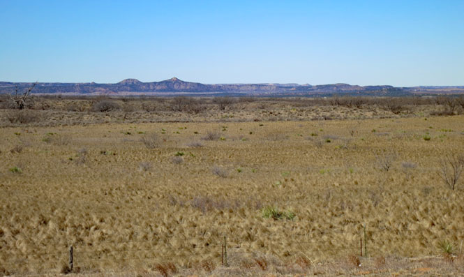
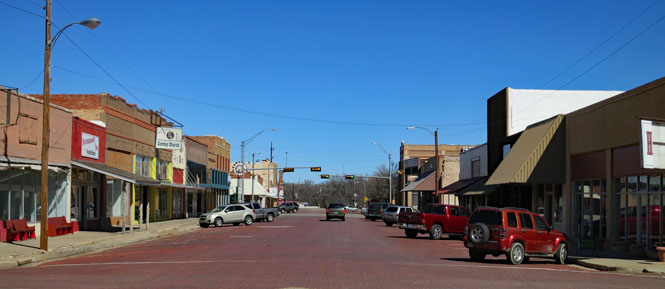
February, 2016

There are a couple of obscure roads in the eastern plains of New Mexico that I've long wanted to ride. I had a window of good weather in February to work with, so NM-102 and NM-419 were first on the list; I'd work out the rest of the journey along the way.
 Oklahoma
Prairie fires aren't too unusual in the panhandle of Oklahoma, but generally they are intentionally set and easily contained. This is different; it's the largest I've ever seen. It takes a strong wind to keep the fire burning through the short winter grasses, and the wind today out of the west was very strong. I passed several fire trucks, rushing to get in front of the fire.
Incidentally, I rode a large loop, yet managed to have a headwind for almost every bit of it.
The sun setting on the far western tip of the Oklahoma panhandle. The day was unusually warm, but once that sun dropped down this became a chilly ride.
 New Mexico
Clayton, New Mexico.
I'm staying at the Eklund Hotel. I've had breakfast and dinner here on other trips, but have never spent the night in this historic 1892 hotel.


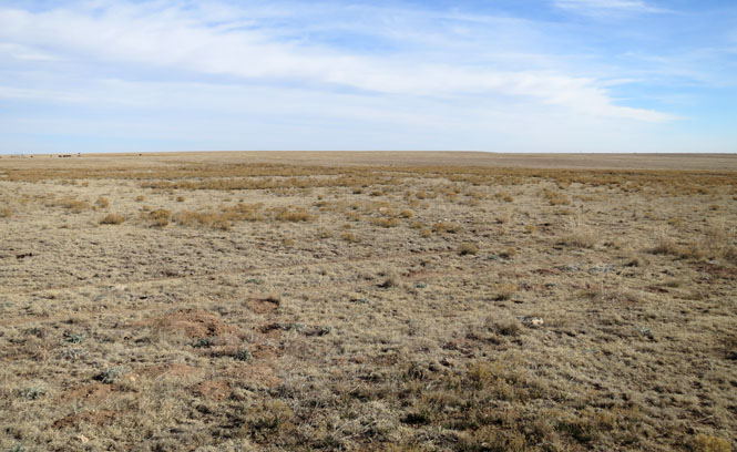
I guess it takes an appreciation for this sort of landscape to go out of your way to ride NM-102. I didn't pass a single car.

Bueyeros, New Mexico is the only town you'll see along the way.
Mosquero, New Mexico
That's NM-419 running through the gap in the hills.
The map suggested I'd be riding through the town of Trementina, but all I saw was the Trementina school (which has not seen a student in many years).
Now on the comparatively more important NM-104, which connects Tucumcari on the east with Las Vegas on the west. Still no traffic.
After climbing the plateau, looking back to where I've been. You can just see the road on the left.
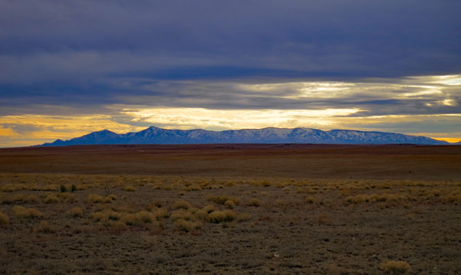
The Rocky Mountains of New Mexico.
This remarkable building was built by the Santa Fe Railroad as a luxury 400-room hotel (Harvey House) on the site of hot springs. When Las Vegas, New Mexico was a major stop on the transcontinental route it was very popular, but when the route of the railroad changed (no longer using the Raton Pass), that was the end. Since 1981 the building has been part of the United World College (original funding by Armand Hammer).
I rode a bit into the mountains, saw too much snow, turned around. Let's ride south, instead.
La Loma, New Mexico. Sometimes it's hard to take a photograph of a town.

Corona, New Mexico. I've often stopped at this small cafe for lunch or breakfast.

Here's another road I'd been aware of, but hadn't yet ridden. It's NM-247 between Corona and US-285. I wasn't sure if it would be paved the entire way; it is. It isn't shown on all maps.

A narrow opening in the clouds over the Capitan Mountains at sunset. Amazing light.
Taking NM-137 around the backside of Carlsbad and the Guadalupe Mountains to Sitting Bull Falls.
Sitting Bull Falls. The drop is 150 feet, so this isn't some small trickle of water. The site was developed in the 1940s by the CCC. Why does it have this name? Who knows...
There's a town in the southeastern corner of New Mexico named Jal. That's interesting; let's go there.

Salt Lake.
Not much to see except oil and gas works. Pretty much the only traffic you'll see is connected to the oil fields.
Jal, New Mexico. Cattle were marked JAL (for John A. Lynch) and the name stuck to the town. It may have had some success as a ranching town, but doesn't seem to have done much good as an oil field town.
 Texas
Texas
At this point, it only seemed reasonable to keep riding south to the Big Bend region.
Alpine, Texas.
 What's this? A restaurant named for the bike I'm riding? Yes
and no. The waiter told me some story about the name for a sidecar
motorcycle rig that delivered pizza being "Guzzi." He'd never heard of
the motorcycle with that same name. I think they need to do more research.
Anyway, the food was fine.


It's uncommon, but it's always nice to see this sort of sign (at my hotel).
Riding south from Alpine, but taking the time to look back at the town off in the distance and well below me.
Study Butte for fuel. Alpine is the nearest town with any real services, and it's 100 miles away. Always fill the tank when you can.
 Big Bend National Park. This is the west entrance, not far from
Study Butte/ Terlingua.
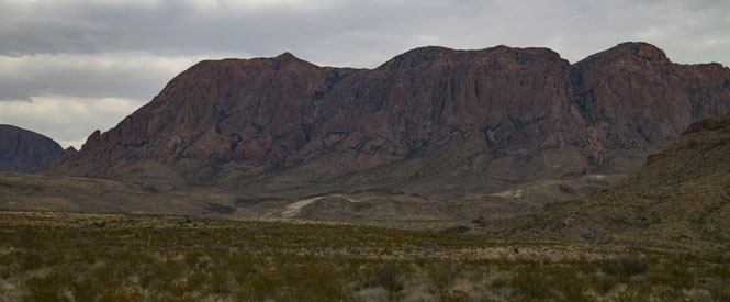
Chisos Mountain. Take note of that 'V' notch in the center. We'll soon see that same notch from the other side.
If people come here expecting a flat desert, they're in for a surprise.
Yes; that formation is called "mule ears."
Santa Elena Canyon. That's the Rio Grande flowing towards us. On the left is Mexico.
Castilon, Texas. The town was started as a military outpost, and then was a trading and supply center for both sides of the border. It's now within the park and is the residence for many park employees.
The speed limit within the park is 45mph, but you wouldn't really want to be going much faster than that, anyway.

Climbing to the Chisos Mountain basin. If you think of a volcanic mountain that has blown its top, you'll have an idea of the place.
I don't know that I'd recommend counting on a room at the lodge without advance reservations, but it worked for me. Later in the day a sign was posted: "no rooms available."

Lunch at the lodge. This park isn't nearly as old as the other big ones (Yosemite, Grand Canyon, etc.) and it never had a lodge built in the classic National Park style. But, it's nice enough. And, the food is good. Rooms are cheaper, too.

The visitor center.

The basic rule if you are approached by either a lion or a bear: don't be a coward.


Many trails start at the basin. I was violating one of the lion/bear rules by being out here near sunset, although I never saw any animals (except birds).


The view of the lodge from higher up on the trail.
Some very big chunks of lava were tossed around.

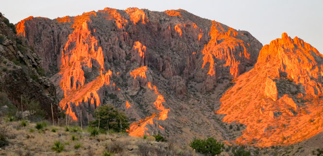
Back at the basin to watch the sun go down. Remember that notch in the mountain? This is it: "The Window."
This mountain changed colors in almost an instant. You could see everybody grabbing their camera (or phone in most cases).
The next day, riding down the hill on a very cold morning. It'd be even colder when I dropped below those clouds and lost the warming sun.
Riding north towards Marathon, I'm on a different road than I was on coming into the park.
Sanderson, Texas. This time I'm aiming for TX-2886. It's an obscure road between Sanderson and I-10 that I've not been on.

But first, it's time for lunch at the Eagles Nest Cafe.
This isn't New Mexico, but they're still offering green chili cheese burgers as their best thing. Further north, that option mostly goes away to be replaced by bbq and chicken fried steak for lunch.

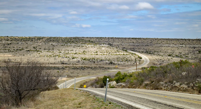
This is Texas-2886. There's no need to look behind you when you stand in the middle of the road to take a photograph.
Each little creek sends the road winding down and then back up, again.
Sheffield, Texas. The Interstate has mostly killed places like this.
Iraan, Texas. Ira and Ann Yates owned the land. Put the two names together and you have it. It's still pronounced as two words.
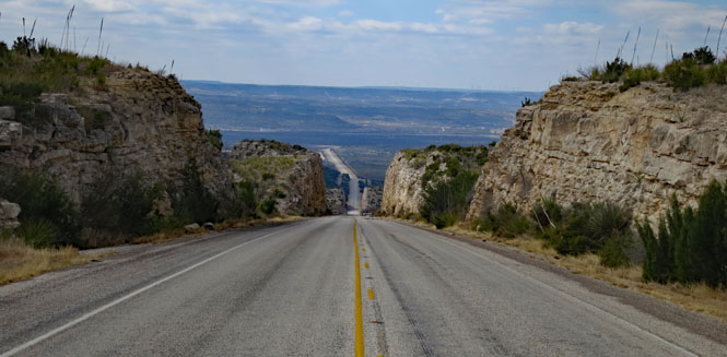
One of the more impressive road-cuts on a continuous steep grade that I've seen. You can see this road climbing straight up the mountain side from miles away, looking sort of scary. I was thinking: "that can't be the road, can it?"
Big Lake, Texas.

Big Spring, Texas. The photograph isn't quite fair as Big Spring is a good sized city, but as I always try to find the original core of a town, this is it. The core is nearly abandoned.
Snyder, Texas.
All you deer just stay right there and don't play out on the highway...
I didn't see a town nearby, although there almost certainly used to be one. What's left is a jail and a school. Nice that somebody has kept that school in good condition.

Spur, Texas.
Dickens, Texas. They built some pretty sound jails. This one seems to still be the sheriff's office, in addition to being the jail.
Roaring Springs, Texas.


Whiteflat, Texas. Only two buildings remain from Whiteflat, and not even a road to get to them.
The Caprock Hills.
Turkey, Texas is the hometown of Bob Wills. I often eat lunch here, but not today.
Crossing the Little Red River.
Clarendon, Texas. What's on the menu? Chicken fried steak and bbq. I had the chicken fried steak; it was good.
Hedley, Texas.
Quail, Texas.

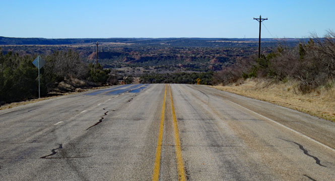
Salt Fork Red River. One by one, these old truss bridges are being replaced by concrete things that don't deserve a second look.
 Oklahoma
The Wichita Mountains in the background.
North Fork Red River.
Dill City, Oklahoma.
Don't go charging down the hill to New Cordell, else you end up in the courthouse.
New Cordell, Oklahoma.
Canton, Oklahoma.
I was planning to take this road, but when you see a train doing a back-and-forth dance at a crossing, it's best to turn around and go someplace else.
Fairview, Oklahoma.
Cleo Springs, Oklahoma.
Manchester, Oklahoma. You wouldn't think that a building labeled "State Line Grain Co" would be a restaurant; it is.
Today's menu is written on the wall. That's your only choice except you can have less or more of it. Two ladies in the back are making the food and will deliver it to you soon enough. Everybody is eating at the same long table. You want coffee? It's over there...

Quite a nice trip. I often started riding in the morning with temperatures in the mid-thirties, but generally things warmed up enough by the afternoon that it was pleasant riding.


