February, 2019
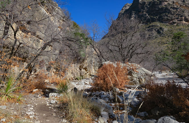
Guadalupe Mountains National Park is large and amazing. It's also remote and hardly visited. I'd already been on part of the McKittrick Canyon Trail on an earlier visit, but I'd walk farther, this time.
 Texas
Texas
The Guadalupe Mountains with El Capitan (8,085 ft.) independent and in front of the taller Guadalupe Peak (8749 ft.). This is Texas-54.
The road is paved to the trailhead (below, on the right) where there is a fair-sized parking lot. Several trails begin from this point. The trail is easy to follow--at least the portion that I was on. There are a few water crossings, but your best approach is to just walk through the water and don't bother trying to hop across the dry rocks.
The part of the trail I walked (shown in blue, above) follows the creek to a point where it begins a more serious climb to the ridgeline and beyond. I didn't have time for that (nor was I prepared)--perhaps some other day.
It's a cold day, and very windy--so windy, in fact, that it could be hard to stand up until I reached the protection of the canyon walls.

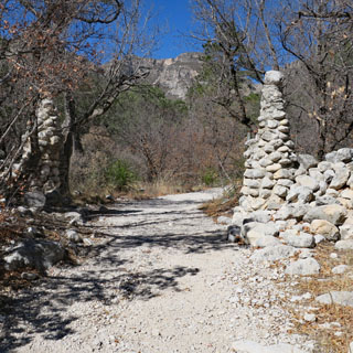
Decades ago, there would have been a wagon/truck trail, but it's hard to see any remains of that except for places where the trail is wider and nicer than you'd expect for a simple footpath.
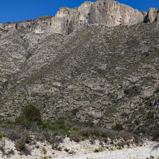
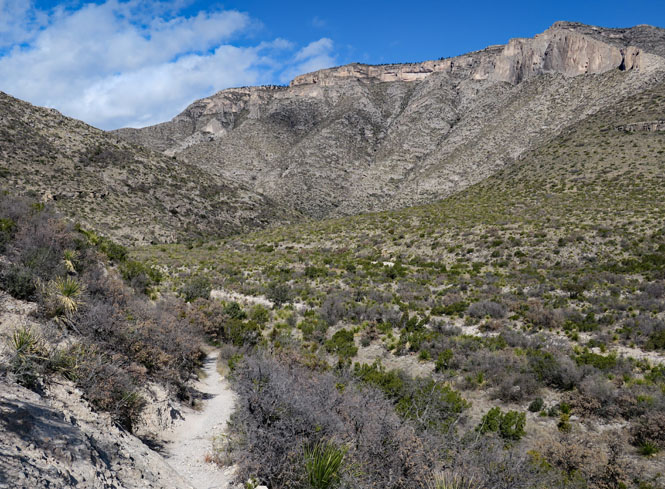
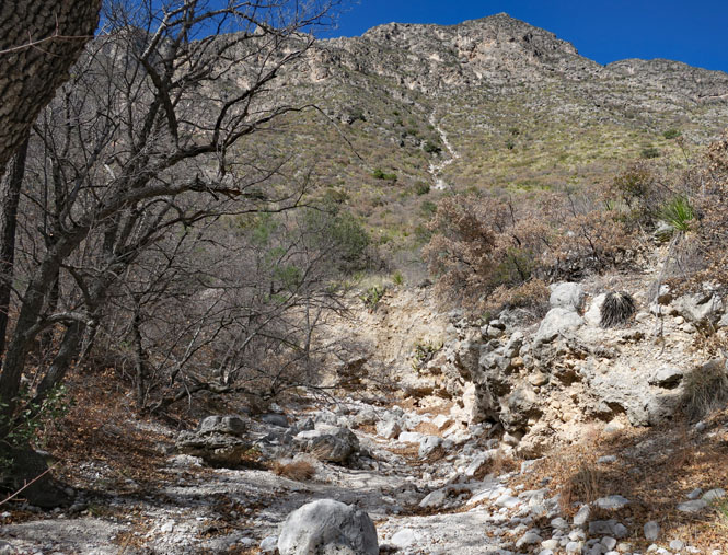
What you see is the ridge line that I will not be climbing.
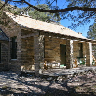
The last owners of the land (before it all became part of the national park) had a surprisingly nice summer house in the canyon.
The grotto (as this location is called) looks like it was once part of an underground cavern where the outside walls have collapsed. Remember, all this is not too far from Carlsbad Caverns, and it's likely that the mountains are full of caverns that will never be discovered.
A winter cabin farther up the canyon. I wouldn't be walking much beyond here.

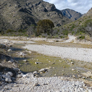
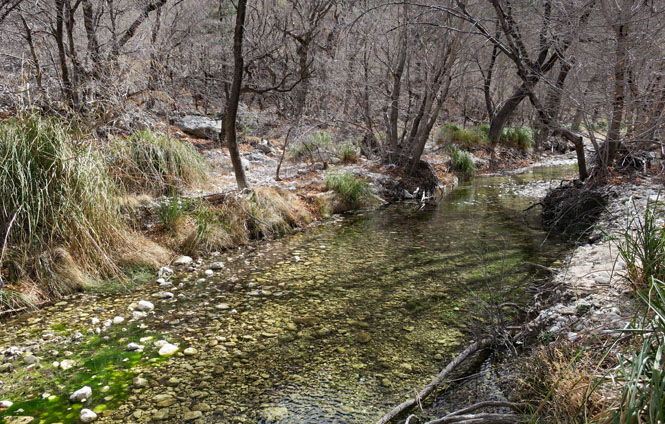
Sometimes the creek is full of water (as it is here) and in other places all the water is seemingly gone.
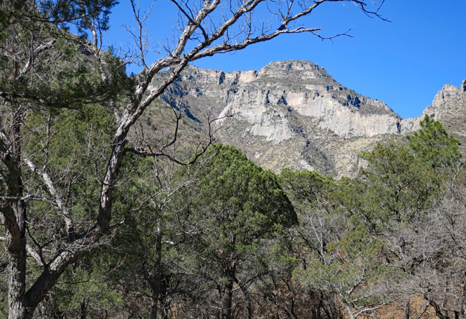
McKittrick Canyon; it's a beautiful place.


